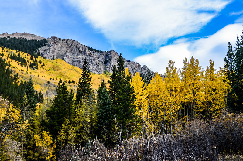
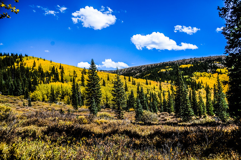
A yellow side of a hill on the Abyss Trail to Helms Lake
上週六跟華人登山隊前往Mound Evans Wilderness區內的Abyss Lake Trail登山健行,目標是Helms Lake及沿途賞黃葉;Abyss Lake Trail登山口位在Guanella Pass的南端,距Grant小鎮約5.5哩,該步道的終點是位在Mount Bierstadt和Mound Evans兩座14ers之間山谷中的高山湖Abyss Lake,單程約8.5哩,往返全長17.1哩/27.36公里,總爬升約3,280呎/1,000公尺,是一條頗有難度的登山步道,我們今天僅計畫走到中途的Helms Lake。
Helms Lake位於Mount Bierstadt (14,060呎/4,285公尺)東南稜的峭壁下方,可以經由Abyss Trail到達;Abyss Trail的登山口始於Georgetown以南20哩處的Guanella Pass路旁,沿步道向東北穿過Mount Evans Wilderness攀爬約6哩可到達湖泊,Mount Evans近期已改名為Mount Blue Sky,但沿途標示牌還來不及更換仍沿用舊名。
Fall Color on the Abyss Trailhead
----------------------------------------------------------------------------
攀登湖泊:Helms Lake,海拔11,750呎/3,581公尺
登山里程:往返合計12.4哩/20公里
總爬升高度:2,470呎/753公尺
登山時間:上山3小時50分,往返費時7小時32分
----------------------------------------------------------------------------
行車資訊:
由Golden沿CO-470南下,在Exit 5A下交流道轉US-285朝Fairplay西南行,行約39.4哩於小鎮Grant右轉Guanella Pass Rd西北行,再行約5.2哩道路右側一停車場即為Abyss & Burning Bear Trailhead停車場,今天不但停車場客滿,由停車場為中心南北各延伸約0.5哩計約1哩的道路兩側停滿了車子,說誇張實不為過,這一週是白楊木(aspen)葉子變色的尖峰期,今天適逢週末,似乎丹佛的賞葉人潮都傾巢而出了,好不容易找到一處停車處再走回登山口。
Fall Color on the Abyss Trailhead
步程簡述:
08:13 登山口出發,座標N39° 30.666' W105° 42.646',海拔9,630呎/2,935公尺;
Abyss Trailhead
沿著小徑進入林中朝東北上行。
08:14 小徑行約50公尺抵Mount Evans Wilderness解說牌及一座遊客入山自動登入系統(Mount Evans Wilderness Self-issuing permit system);
Self-issuing permit system in the Mount Evans Wilderness area
這是一個自行簽發入山許可證系統,相關單位透過此系統獲得的數據來準確地評估現有Wilderness使用的數量和類型,作為長期規畫Wilderness的使用及保護措施,以維護自然環境的永續保存,這些許可證沒有名額限制也不需要任何費用,當你進入Wilderness範圍時,填寫好提供的許可證表格並將存根投入登記箱前下方的插槽中並妥善保管許可證即可;經過解說牌及登入系統後步道續朝東北緩坡爬升,此前段步道有點小坡度,且路面石頭坎坷有點難走,兩旁是筆直的lodgepole pine(海灘松)。
Early rocky sections of the Abyss Trail to Helms Lake
08:21 路過Mound Evans Wilderness、Pike National Forest界牌;
Mount Evans Wilderness Boundary
Mound Evans這幾天才更名為Mount Blue Sky,所以界牌來不及更換仍沿用舊名,以下紀錄均改用新名Mount Blue Sky。
08:32 過一小溪溝,腳踏石頭及兩根枯木跨過,海拔約9,854呎/3,003公尺,距登山口0.68哩;過小溪溝後步道坡度趨緩、路面也平整好走,兩旁仍是筆直的lodgepole pine(海灘松),偶而夾雜著白楊木(Aspen)。
Fall Color on the Abyss Trail to Helms Lake
08:55 路旁一大片空曠的青草地,座標N39° 31.597' W105° 41.702',海拔10,033呎/3,058公尺,距登山口約1.6哩/2.57公里。
Fall Color on the Abyss Trail to Helms Lake
09:12 過第一座橋,座標N39° 31.990' W105° 41.219',海拔約10,157呎/3,096公尺,距登山口2.2哩;
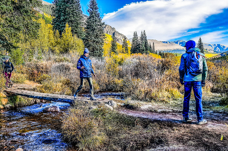
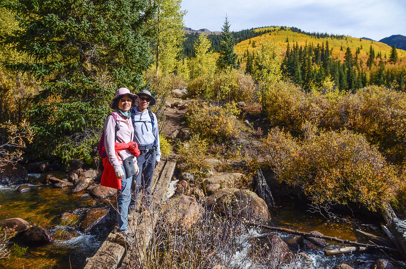
Crossing log bridge at Scott Gomer Creek
兩根原木橫跨在Scott Gomer Creek上,過橋後有著極佳的展望,東北可遠眺Mount Blue Sky及山頂停車場旁邊的丹佛大學Meyer-Womble氣象站;
A hill of yellow with Mount Blue Sky in the background on the Abyss Trail to Helms Lake
在Mount Blue Sky左側一座光突三角錐山頭後方是Mount Bierstadt,左側一座崖壁陡峭、山勢崢嶸的山頭是海拔3,759公尺的Geneva Mountain;
A hill of yellow with Mount Blue Sky in the background on the Abyss Trail to Helms Lake
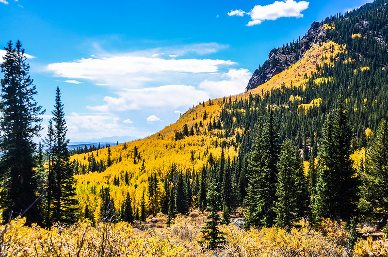
Geneva Mountain崢嶸山壁下是一大片金黃色的白楊木,煞是壯觀,今天大批的遊客及登山客絕大部分是為了此美景而來,我們在此逗留十幾分鐘休息拍照後續行。
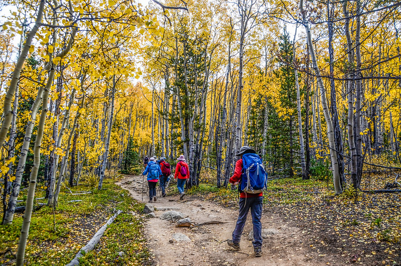
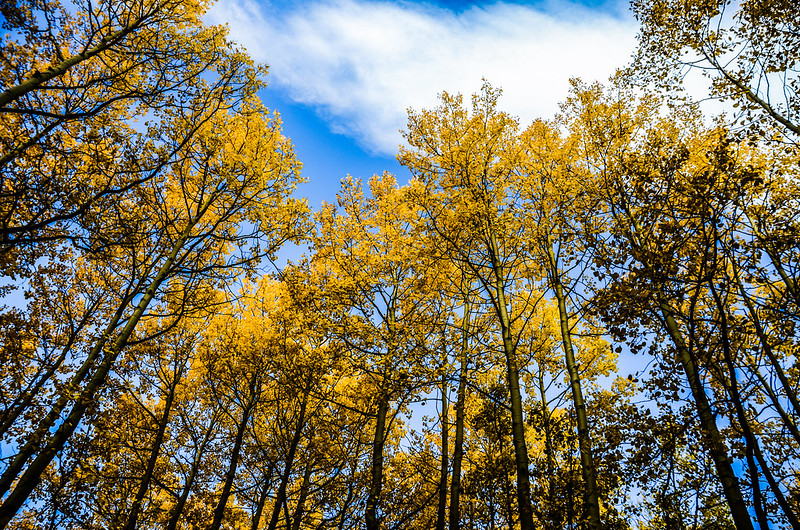
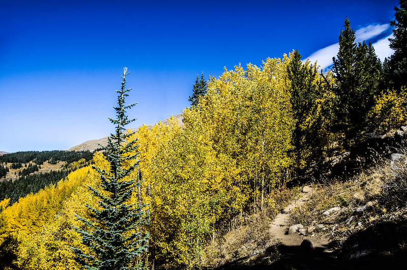
09:25 進入茂密的白楊木林中沿著寬敞平坦的步道朝東北沿等高線前進,步道兩旁筆直的白楊木樹幹及閃閃發亮的金黃葉子,這真是一條優質的登山步道;
Fall Color on the Abyss Trail to Helms Lake
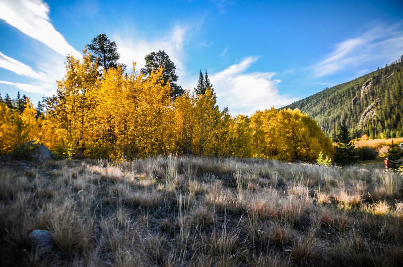
左側松林間偶見幾頂在此露營得營帳,營地旁是Scott Gomer Creek小溪,步道左側不時有岔路引導至小溪旁,仰望Scott Gomer Creek對岸山崖下一大片金黃的白楊木,美景非常壯觀。
A yellow side of a hill on the Abyss Trail to Helms Lake
A yellow side of a hill on the Abyss Trail to Helms Lake
09:54 過第二座橋,座標N39° 32.599' W105° 40.679',海拔約10,403呎/3,171公尺,距登山口約3.2哩/5.15公里;
The second bridge crosses back over Scott Gomer Creek
過橋後路徑縮小、路面充滿石塊也變得比較陡峭,走來不似前段的悠閒,但兩旁的白楊木依然絢麗燦爛!
Steep rocky trail
10:19 抵一開闊較低漥地區,低窪地後面遠方山稜是Mount Evans東南延伸的稜線。
10:21 過第三座橋,座標N39° 33.035' W105° 40.567',海拔約10,680呎/3,255公尺,距登山口3.8哩;
The third bridge crosses Scott Gomer Creek
這座橋跨過的小溪即是發源於Guanella Pass summit的Scott Gomer Creek,過橋後右側即是一片沼澤地,有兩三個小潭,沼澤地後方山坡的白楊木(Aspen)仍是金黃一片。
Fall Color on the Abyss Trail to Helms Lake
10:40 山徑來到一處小平坦區域,在此遇到Abyss Lake Trail & Rosalie Trail 的第一處岔路,座標N39° 33.308' W105° 40.563',海拔10,882呎/3,317公尺,距登山口約4.2哩/6.92公里;
Abyss Lake Trail & Rosalie Trail junction #1
左岔往Guanella Pass 仰望Summit的Rosalie Trail登山口,右岔為Abyss Lake Trail 和 Rosalie Trail的共用步道,取右岔東南行,再行數十公尺遇一小溪流,過溪後在一開闊地朝東南腰繞,左側北邊光禿山頭是Mount Bierstadt南稜尾稜;
Fall Color on the Abyss Trail to Helms Lake
右側西南眺望Geneva Mountain山坡一片金黃的白楊木黃葉。
A look back down the gulch with golden hills on the Abyss Trail to Helms Lake
10:45 從Abyss Lake Trail & Rosalie Trail 第一處岔路東南行約0.2哩後抵Abyss Lake Trail & Rosalie Trail 第二處岔路,座標N39° 33.254' W105° 40.445',海拔10,880呎/3,316公尺,距登山口約4.5哩/7.24公里;
Abyss Lake Trail & Rosalie Trail junction #2
右岔南行為Rosalie Trail通往海拔13,577呎/4,138公尺的Rosalie Peak,左岔Abyss Lake Trail轉朝東北行往Helms Lake和Abyss Lake。
離開Abyss Lake Trail & Rosalie Trail 第二處岔路後的山徑轉趨陡峭並在山坡中迂迴上行,這一段路走來是有點累人,還好路旁及回頭俯瞰山谷美艷金黃色的山景稍微舒緩體力的負荷!
A small patch of bright yellow trees on the Abyss Trail to Helms Lake
Look down the gulch with golden hills on the Abyss Trail to Helms Lake
A look back down the gulch with golden hills on the Abyss Trail to Helms Lake
11:45 登上一平緩開闊苔原地形,在此北望Mount Bierstadt、Mount Blue Sky向右延伸的崢嶸岩壁稜線,Helms Lake就在那岩壁下方,距此處還約半哩路。
The ring of cliffs that surround Helms Lake on the Abyss Trail
沿著山徑朝北蜿蜒穿過森林線到達步道高點轉右朝東北行,經一條小溪後隨即抵達今天的目的地Helms Lake,步道續往上行約2.3哩可抵達Abyss Lake。
12:05 抵達Helms Lake,海拔約11,750呎/3,581公尺,Helms Lake是一個美麗的高海拔湖泊,周圍環繞著陡峭的懸崖。
Helms Lake
Taken from Helms Lake
12:36 循原路下山。
13:29 下抵Abyss Lake Trail & Rosalie Trail 第二處岔路,取右岔下山。
13:35 抵Abyss Lake Trail & Rosalie Trail 第一處岔路,取左岔下山。
Abyss Lake Trail & Rosalie Trail junction #1
Fall Color on the Abyss Trail to Helms Lake
15:45 返抵登山口。
Alltrails:Helms Lake via Abyss Trail (2023.09.30)
















沒有留言:
張貼留言