Lower Square Top Lake
攀登湖泊:
Lower Square Top Lake:海拔12,080呎/3,682公尺
Upper Square Top Lake:海拔12,280呎/3,743公尺
登山口:Guanella Pass Trailhead,海拔11,621呎/3,542公尺
登山里程:往返合計4.78哩/7.7公里
總爬升高度:1,240呎/378公尺
登山時間:3小時27分鐘
----------------------------------------------------------------------------------------------
行車資訊:
丹佛沿I-70西行,在Exit 228出口下交流道經Georgetown轉行Guanella Pass南下,續行約11.5哩的山路即達Guanella Pass的最高點右轉上方的停車場,此處即為登山口,海拔11,620呎/ 3,542公尺,此段道路一般車輛皆可到達。
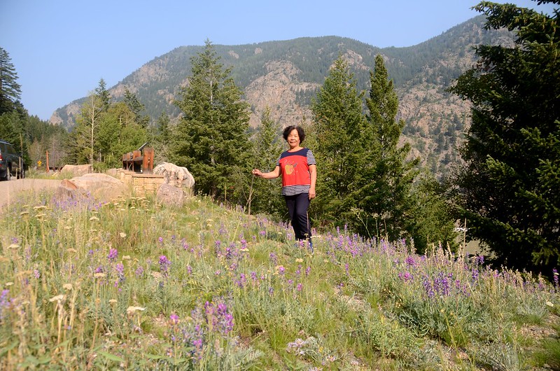
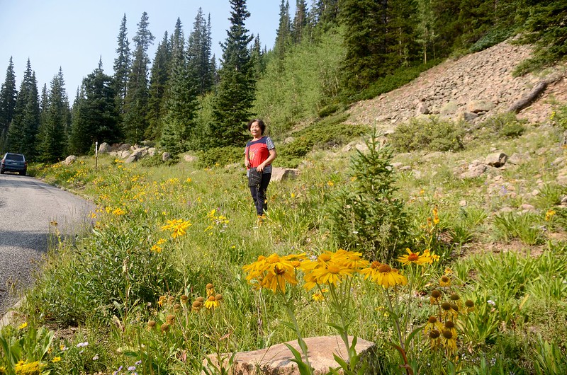
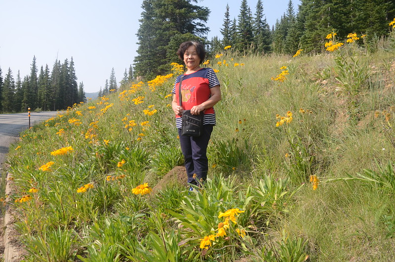
Wildflowers blooming along Guanella Pass
步程簡述:
10:00 登山口出發,座標N39.59716° W105.71293°,海拔11,620呎/3,542公尺;
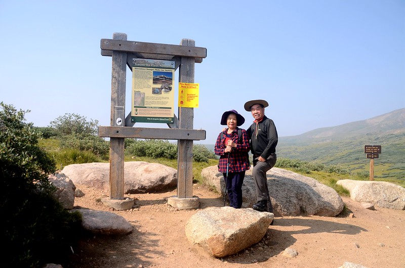
Guanella Pass Trailhead
由Guanella Pass upper parking lot的廁所邊登山口沿South Park & Square Top Lakes、Mt. Trail朝南前進。
Square Top Lakes Trail
10:01 抵Square Top Lakes & Mountain、Interpretive Trail岔路;
South Park 600 fork
取右下往Square Top Lakes & Mountain續行。
Square Top Lakes Trail
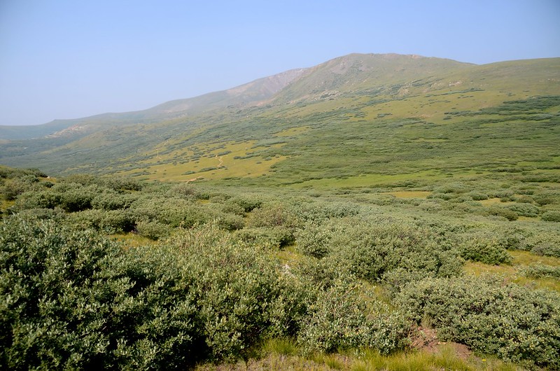
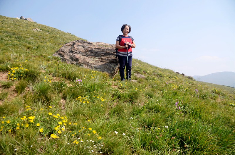
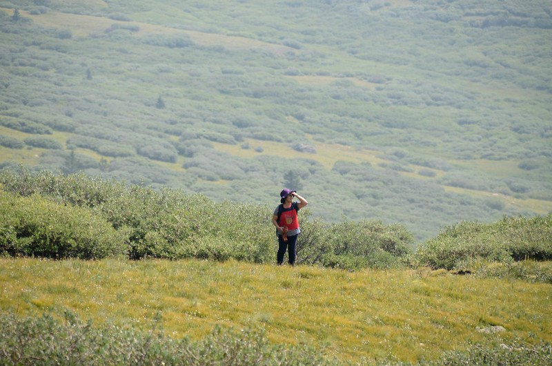
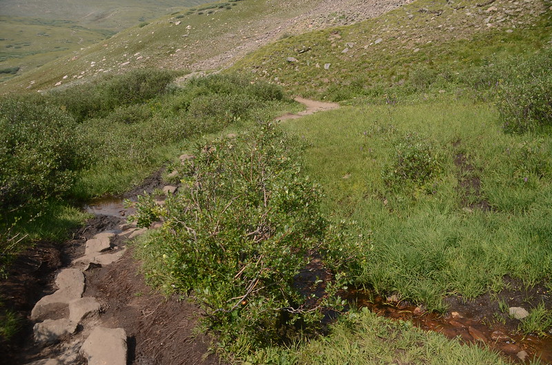
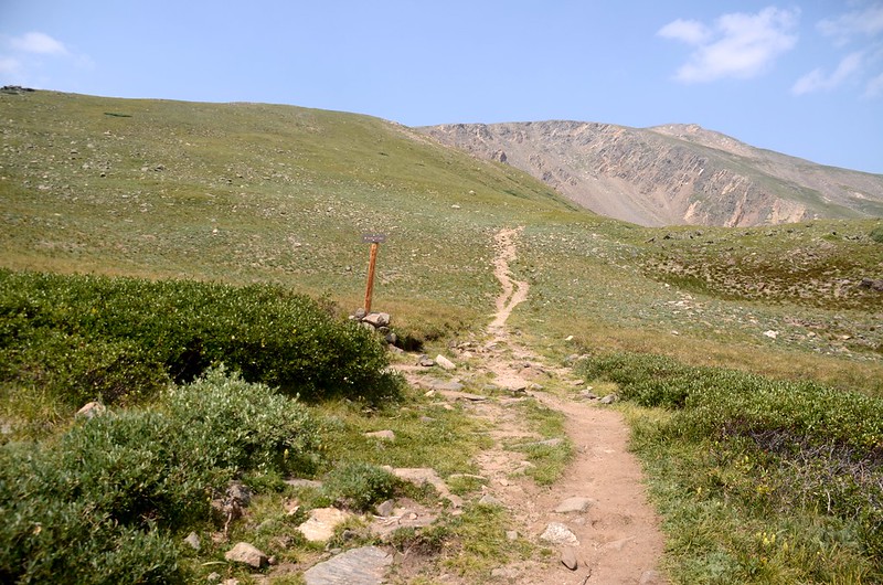
10:06 經過一小溪Duck Creek的支流,泥淖地架設木棧橋方便登山客通過,座標N39.59620° W105.71560°,海拔11,503呎/3,506公尺,距登山口0.2哩/0.32公里;跨過Duck Creek支流後步道開始在山坡朝西南緩升,斜坡兩旁本是大片Indian paintbrush flowers花海,但花期已過僅剩一片苔原草地。
Indian paintbrush flowers
Square Top Lakes Trail
Yellow stonecrop
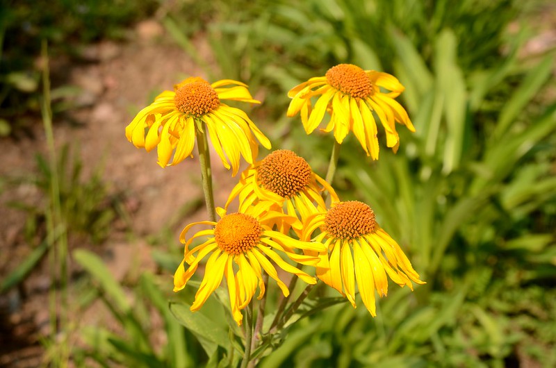
Orange Sneezeweed
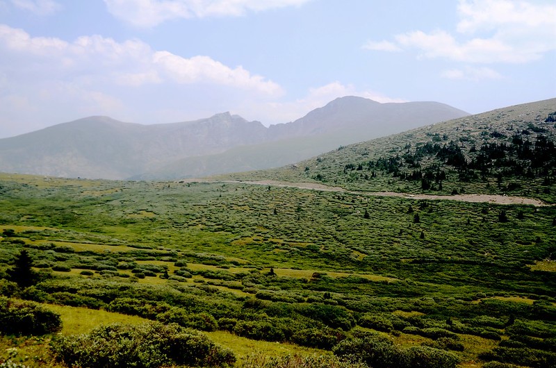
Looking west at Guanella Pass from Square Top Lakes Trail, Bierstadt is in the distance
登山步道朝西南緩行約0.8哩後轉朝向西方朝斜坡高點稜線爬升。
Square Top Lakes Trail
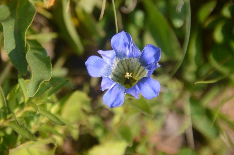
Mountain gentian
10:52 抵斜坡高點稜線,座標N39.59087° W105.73040°,海拔11,905呎/3,629公尺,距登山口1.2哩/1.93公里;高點稜線西邊另有一高點,續朝該高點西行。
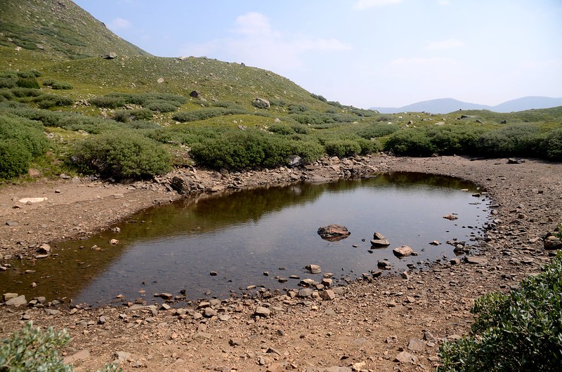
10:55 步道右側一小塘,座標N39.59146° W105.73159°,海拔11,905呎/3,620公尺,距登山口1.3哩/2.09公里;
Unname pond
小塘僅剩淺淺一攤水,過小塘沒多遠步道轉左朝西北稜線高點爬升。
11:02 抵另一高點稜線,座標N39.59093° W105.73409°,海拔12,041呎/3,670公尺,距登山口1.5哩/2.4公里;此處向西遠眺很清楚的看到Square Top Mountain東端的假山頭以及其東側Square Top Lake上方的大圈谷;
Square Top Lakes Trail
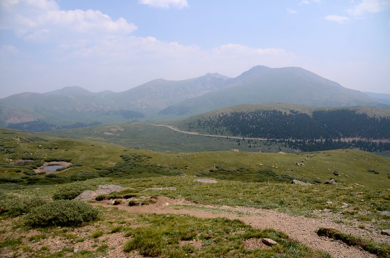
向東回頭俯瞰剛才經過的無名小塘以及遠眺遠方的兩座14ers—Mount Bierstadt & Evans;
Looking west at Guanella Pass from Square Top Lakes Trail, Bierstadt is in the distance
過了此稜線步道開始下坡朝Square Top Lakes續行。
Square Top Lakes Trail
Felwort flower
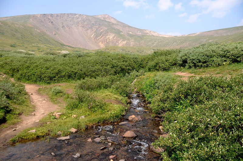
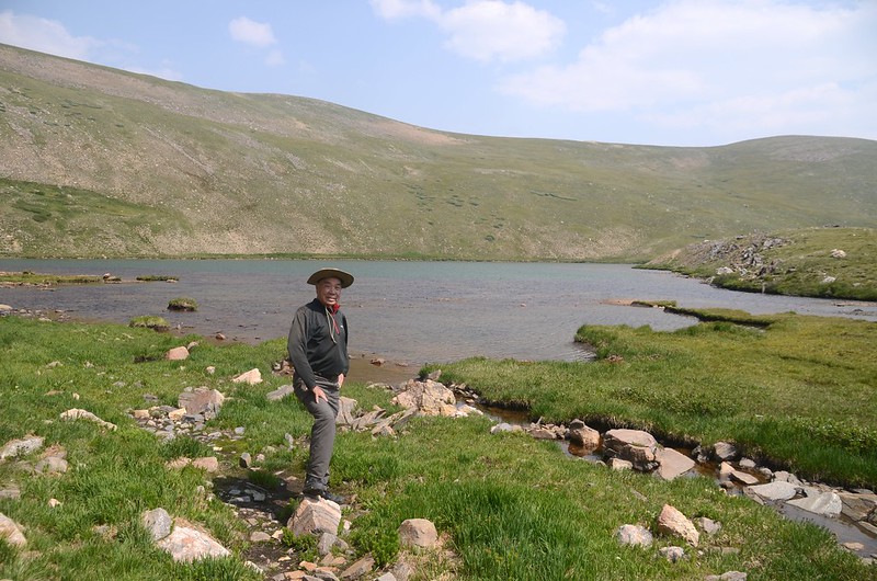
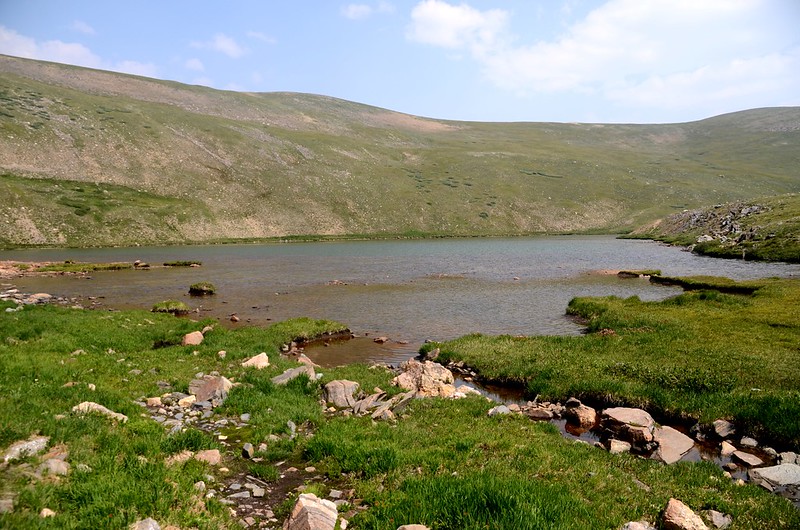
11:12 抵達Square Top Lakes出水口,找一處水道較狹窄處越過小溪流,上方即為Lower Square Top Lake,此處座標N39.59032° W105.73849°,海拔12,025呎/3,665公尺,距登山口1.8哩/2.9公里;
Lower Square Top Lake outlet
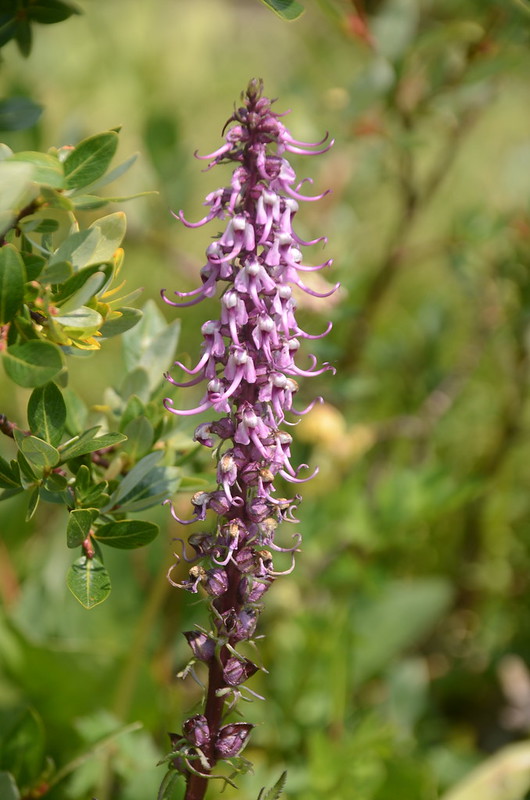
Elephant head flower
越過出水口後步道開始往上爬升。
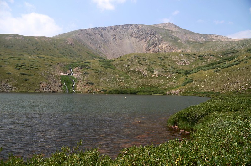
Lower Square Top Lake
11:29 抵達Upper Square Top Lake岔路,座標N39.58892° W105.74155°,海拔12,175呎/3,711公尺,距登山口2.0哩/3.2公里;
Spur to upper Square Top Lake
左直上為Square Top Mountain Trail,取右岔往Upper Square Top Lake。
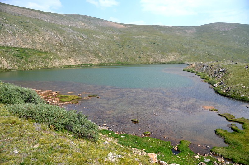
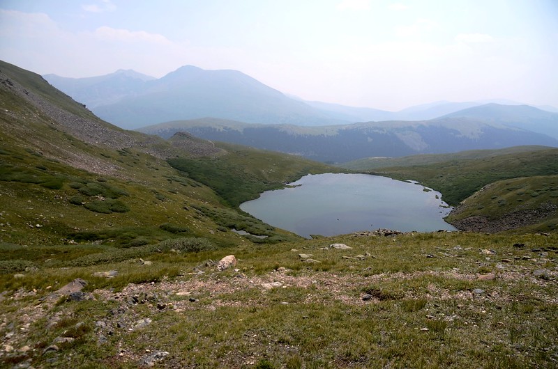
Looking down at Lower Square Top Lake from the trail
Horseback rider on the Square Top Lakes Trail
11:40 越過Upper Square Top Lake泥淖的出水口後抵達Upper Square Top Lake,座標N39.59098° W105.74512°,海拔12,281呎/3,743公尺,距登山口2.3哩/3.7公里;
Upper Square Top Lake
我沿Upper Square Top Lake東岸朝東北行,行到Upper Square Top Lake東北角湖岸時,右轉自行找路往Lower Square Top Lake下切。
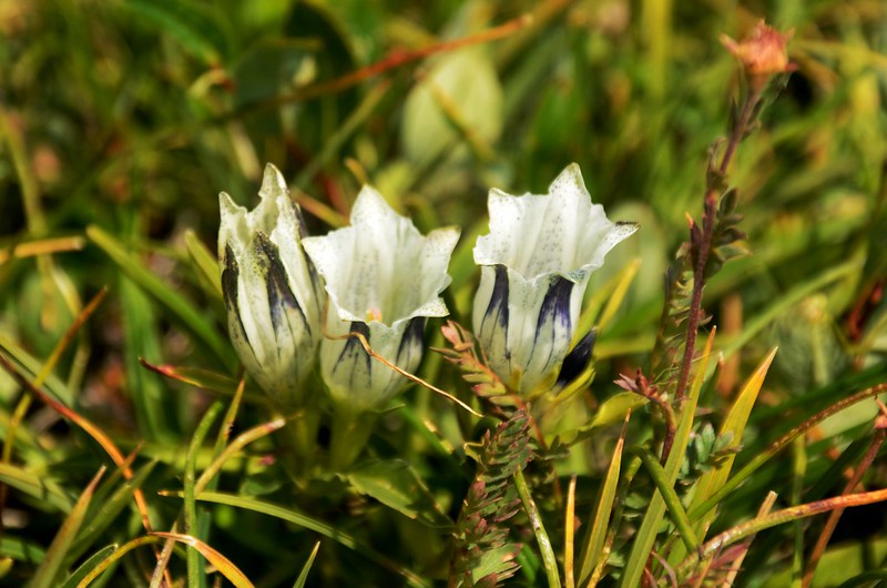
Arctic Gentian(Whitish Gentian)
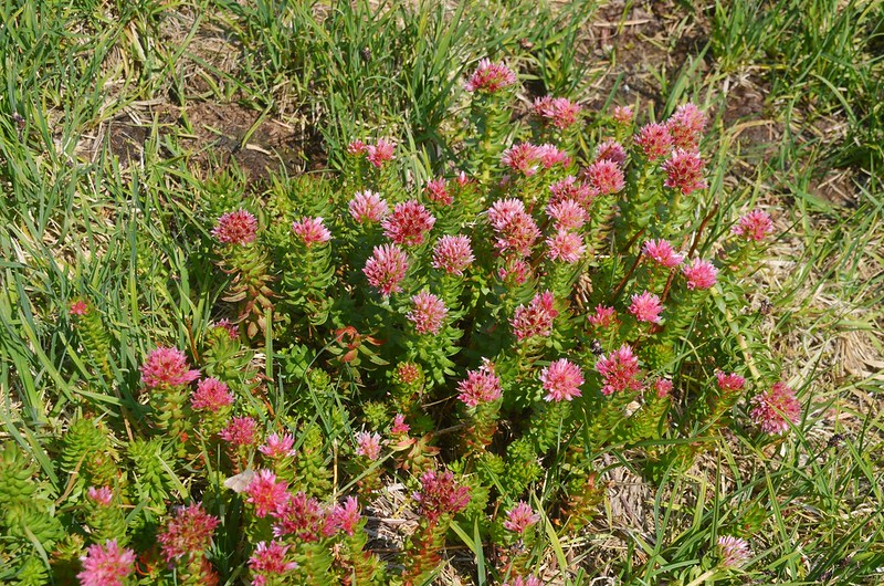
Queen's crown
Upper Square Top Lake
Looking down at Lower Square Top Lake from Upper Square Top Lake
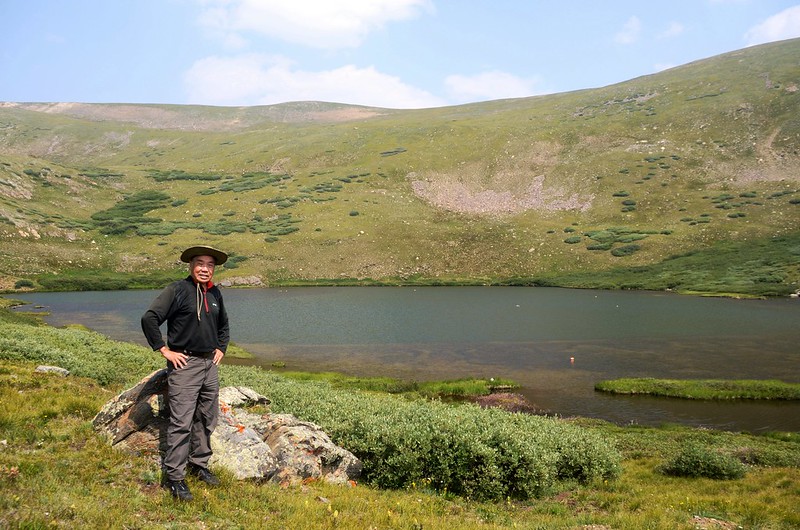
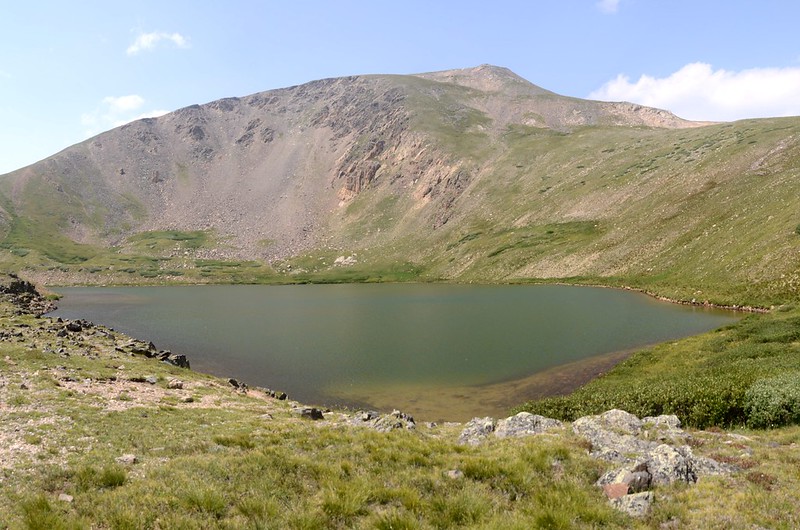
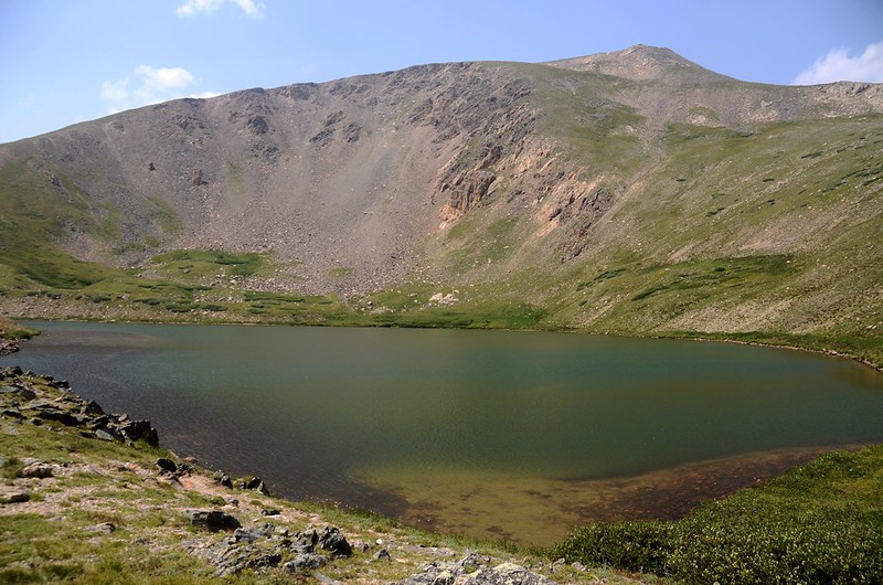
12:13 下抵Lower Square Top Lake北岸,座標N39.59179° W105.74014°,海拔12,087呎/3,684公尺;
Lower Square Top Lake
沿Lower Square Top Lake東北岸朝東南行,湖岸有一小段是茂密的willows矮樹叢,無路徑不太好穿越,抵Lower Square Top Lake東岸後接到剛才上山的路徑,座標N39.59014° W105.73882°,海拔12,072呎/3,680公尺;
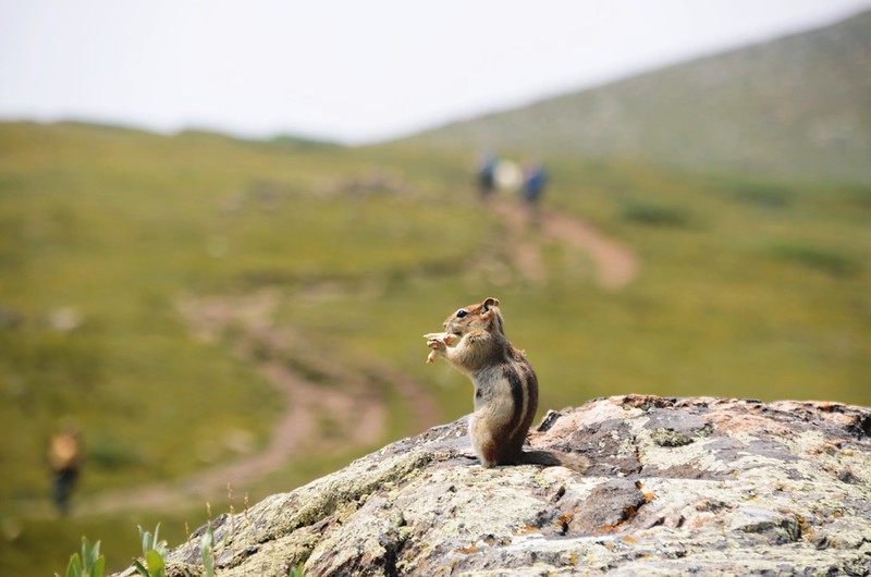
Chipmunk
Upper Square Top Lake和Lower Square Top Lake走了一個Loop約計1.2哩/1.93公里,總爬升約340呎/104公尺;在岔路處取左循原路下山。
13:22 返抵登山口,開車返家。
Alltrails:Square Top Lakes Trail (2021.08.09)













沒有留言:
張貼留言