~~~~~~~~~~~~~~~~~~~~~~~~~~~~~~~~~~~~~~~~~~~~~~~~~~~~~~~~
~~~~~~~~~~~~~~~~~~~~~~~~~~~~~~~~~~~~~~~~~~~~~~~~~~~~~~~~
第五天(2018.06.05、星期二)
早上在大峽谷國家公園北緣(North Rim)遊覽了所有景點後隨即驅車北上前往猶他(Utah)州的錫安國家公園,我們大約在早上九點鐘左右由大峽谷的北緣沿AZ-67 N公路北上,開到Jacob Lake遇US-89A N左轉西北行,當車子行經亞利桑那州的Fredonia市不久,在US-89A N公路里程613 mile進入猶他州(Utah)續行;
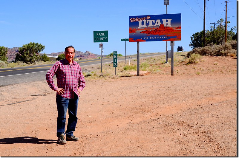
Utah state line
行至Kanab市接US-89 N繼續北上,當行車至Mt. Carmel小鎮時左轉Zion-Mt. Carmel Highway (UT-9 W)西行;
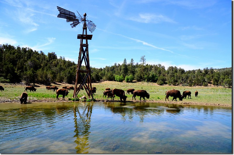
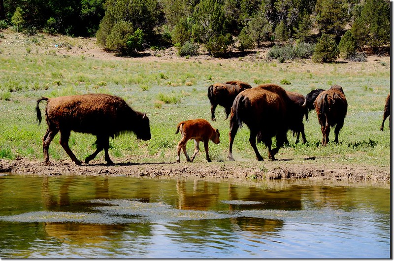
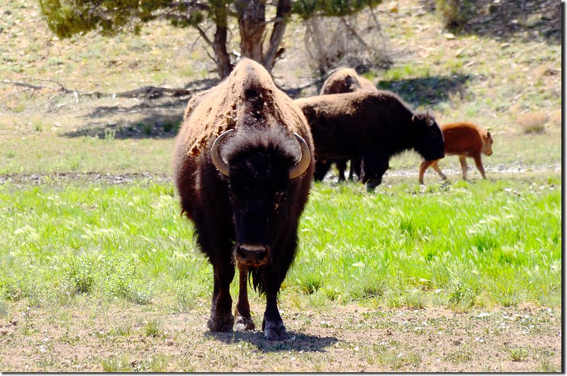
Picture of buffalo taken from Highway 9 at Zion Mountain Ranch
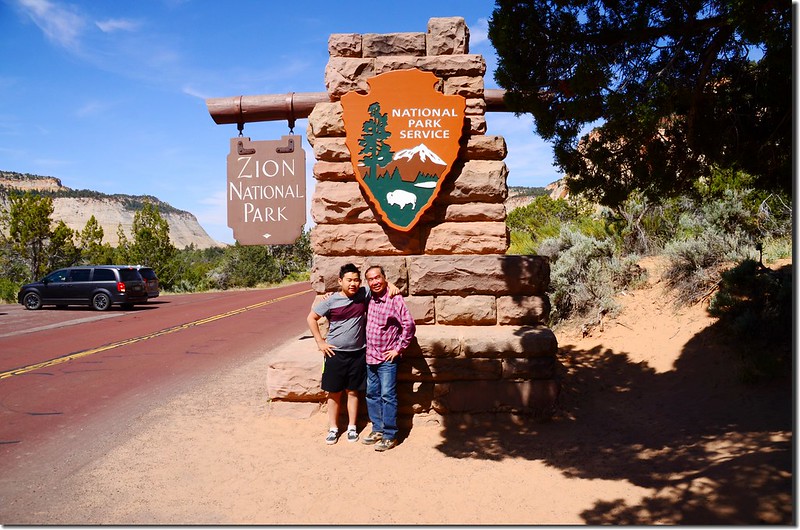
11:07經過錫安國家公園(Zion National Park)的東入口進入錫安國家公園範圍;
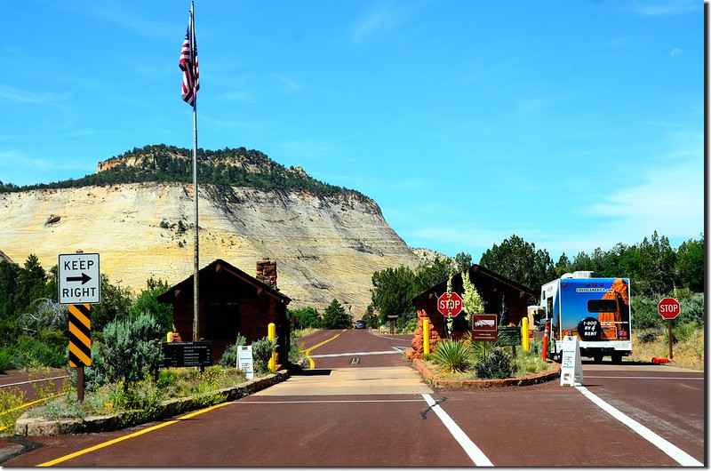
Zion National Park east entrance
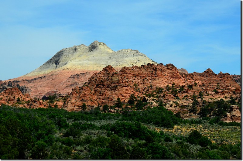
該公園我們在2011年曾來遊過,那次已遊遍園區所有景點包括公園西北角的Kolob Canyons區域,同時也爬上了Angels Landing,此趟再遊我們重點擺在The Narrows的溯溪活動,順便到公園北端的最高點Lava Point露營區的Lava Point Overlook俯瞰整個國家公園。
Utah state line
行至Kanab市接US-89 N繼續北上,當行車至Mt. Carmel小鎮時左轉Zion-Mt. Carmel Highway (UT-9 W)西行;
Picture of buffalo taken from Highway 9 at Zion Mountain Ranch
11:07經過錫安國家公園(Zion National Park)的東入口進入錫安國家公園範圍;
Zion National Park east entrance
該公園我們在2011年曾來遊過,那次已遊遍園區所有景點包括公園西北角的Kolob Canyons區域,同時也爬上了Angels Landing,此趟再遊我們重點擺在The Narrows的溯溪活動,順便到公園北端的最高點Lava Point露營區的Lava Point Overlook俯瞰整個國家公園。
有關錫安國家公園的景區介紹請瀏覽當年我的旅遊紀錄:
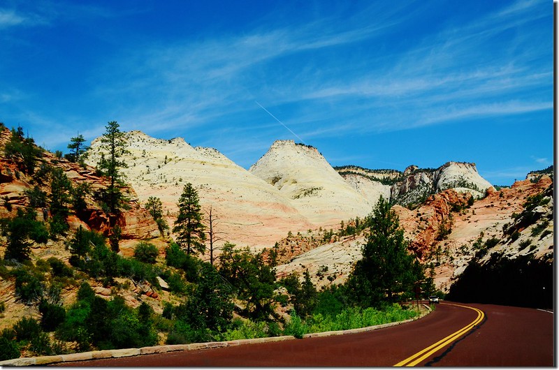
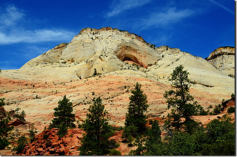
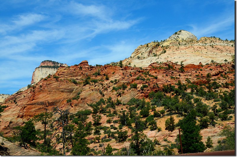
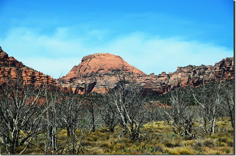
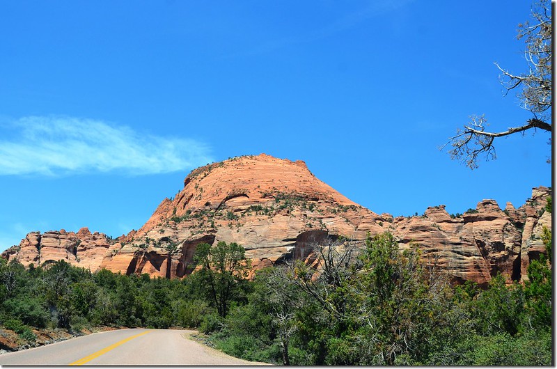
從錫安國家公園的東入口開始西行約六哩即抵達Zion-Mt. Carmel隧道的東口,這六哩路沿途的岩石有著白色混合著淡淡的紅色、橘色色彩長久以來被侵蝕成千奇百怪的形狀,砂岩棋盤岩台地(Checkerboard Mesa)是最突出的例子。
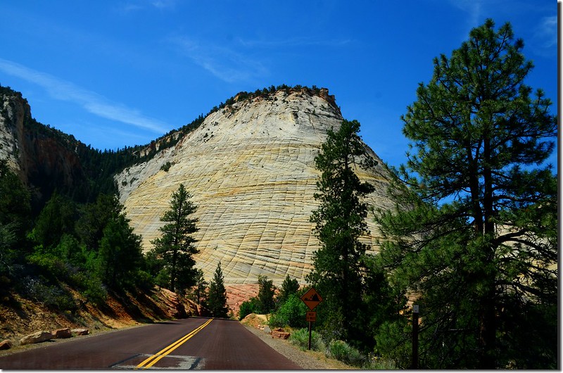
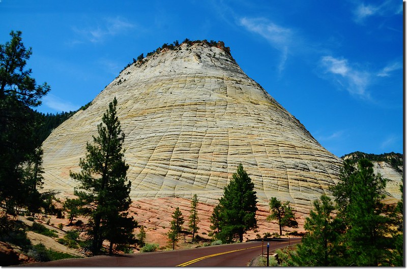
棋盤山台地(Checkerboard Mesa)
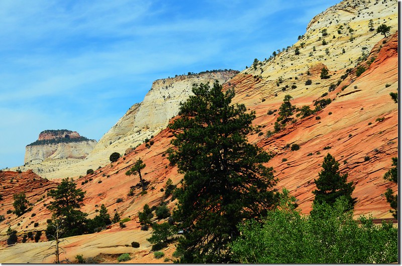
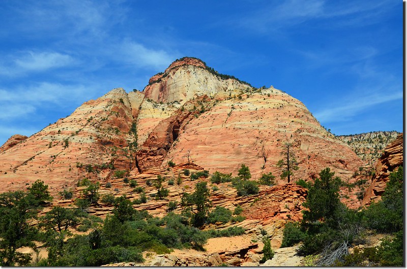
Scenic along Zion-Mt. Carmel Highway
棋盤山台地(Checkerboard Mesa)
Scenic along Zion-Mt. Carmel Highway
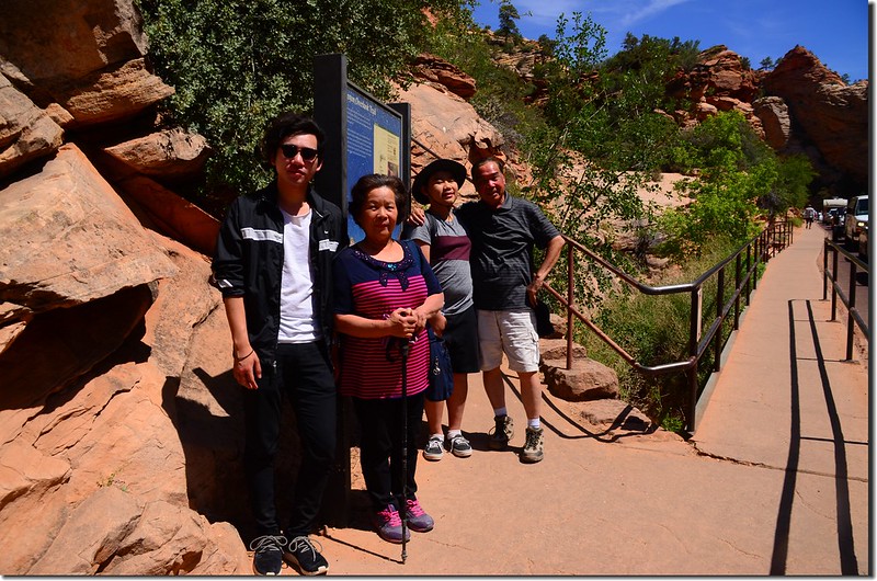
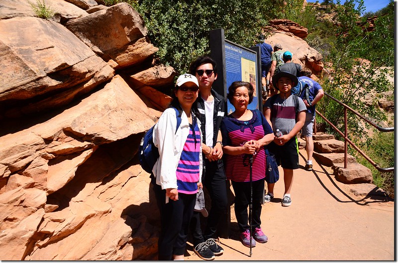
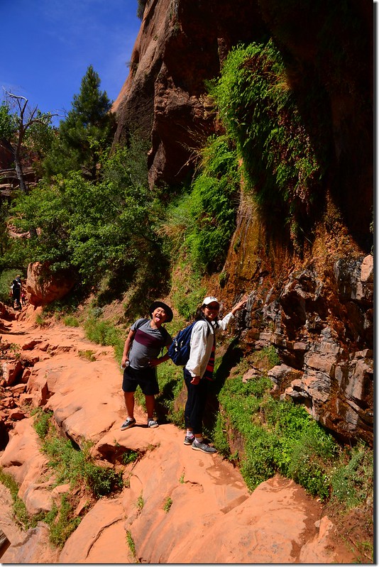
我們在Zion-Mt. Carmel隧道的東口停車,爬了該公園蠻熱門的一條登山步道Canyon Overlook Trail,該條步道被稱為“Angels Landing Trail”的縮小版,上次來園時因為登了Angels Landing Trail限於時間沒登此步道,這次路過特地走了一趟。
Canyon Overlook Trail健行
Canyon Overlook Trail最早稱為"Great Arch Trail",因為該步道剛好位在"The Great Arch"上面,但該"The Great Arch"必須在Zion-Mt. Carmel隧道西口路上才看得到,走在步道上是看不到"The Great Arch"的,因此為求名實相符在1940年代更名為“ Canyon Overlook Trail”。
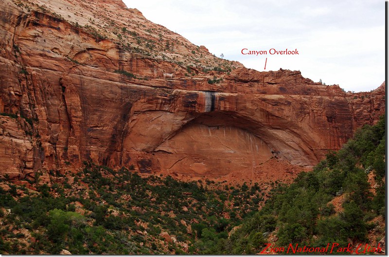
The Great Arch, Zion National Park
The Great Arch, Zion National Park
Canyon Overlook Trail登山口位在Zion-Mt. Carmel隧道東口的交通管制亭旁,在登山口對面公路南側有一處小停車場,但該停車場在夏天常是停滿車子的,其他在登山口往東的公路旁有幾處小空地可停車;
Canyon Overlook trailhead
該步道總長往返約一哩(1.6公里),總爬升高度才100呎(30公尺)左右,算是一條老少咸宜、適合全家同登的步道,登山口起登後先是一段“之”字形陡升石階步道;
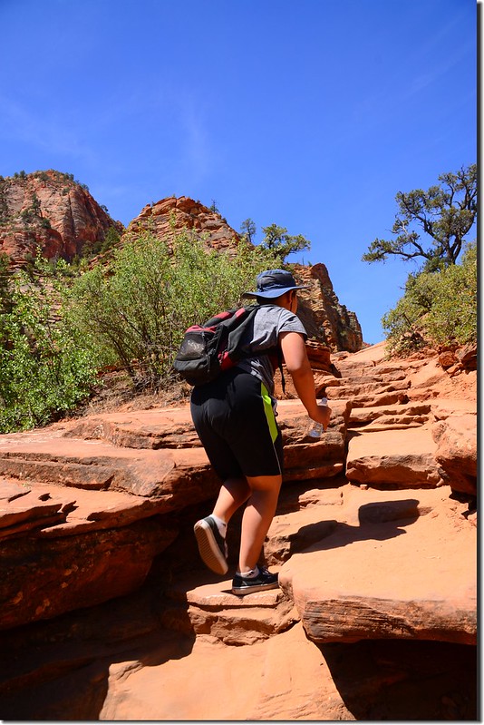
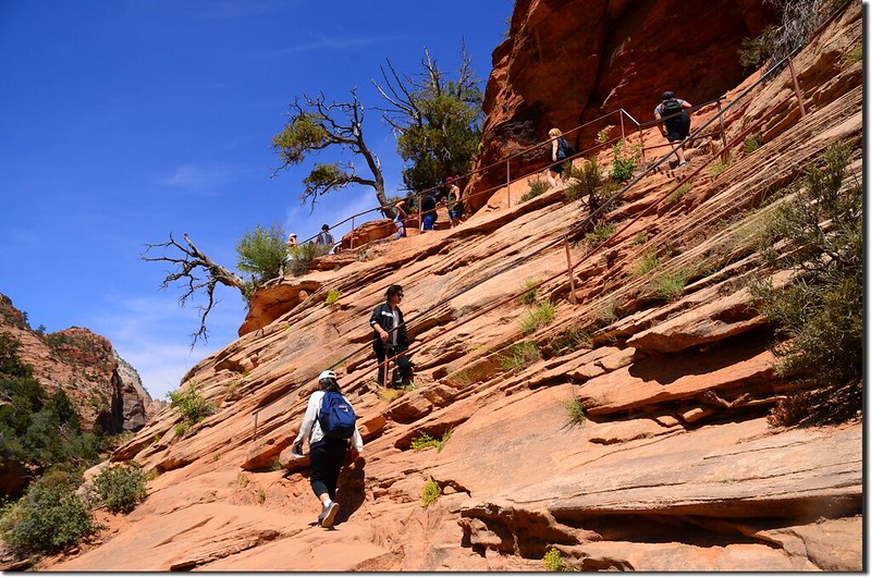
Canyon Overlook trail
登到石階頂端行一段平路抵達一處蠻大的岩壁下大凹洞,熱了可在此休息一下,蠻涼快的!
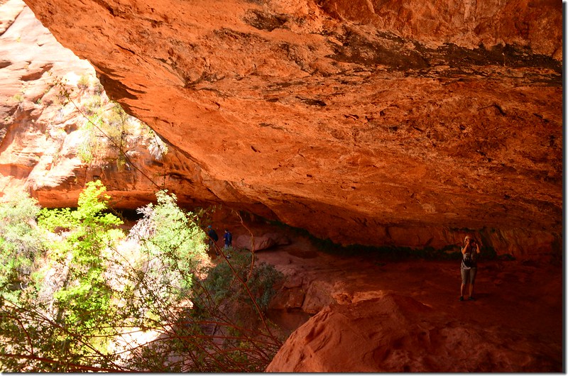
Walking in the crevice
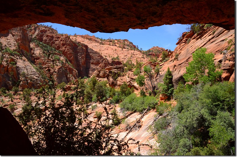
The picture taken from in the crevice
Canyon Overlook trailhead
該步道總長往返約一哩(1.6公里),總爬升高度才100呎(30公尺)左右,算是一條老少咸宜、適合全家同登的步道,登山口起登後先是一段“之”字形陡升石階步道;
Canyon Overlook trail
登到石階頂端行一段平路抵達一處蠻大的岩壁下大凹洞,熱了可在此休息一下,蠻涼快的!
Walking in the crevice
The picture taken from in the crevice
過了岩壁凹洞路徑即在山腰間沿等高線西行,不久抵達步道終點;
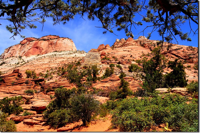
Beehive Rock above Canyon Overlook trail
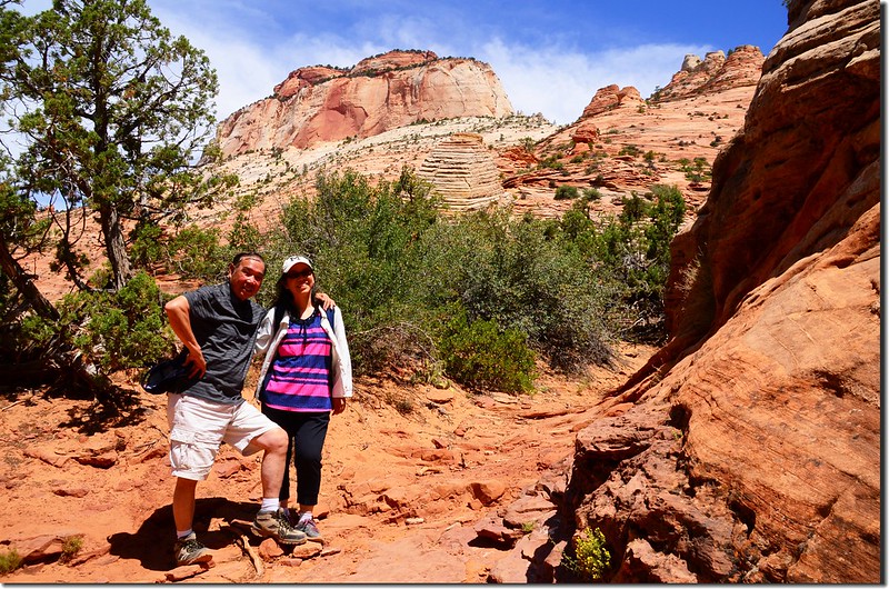
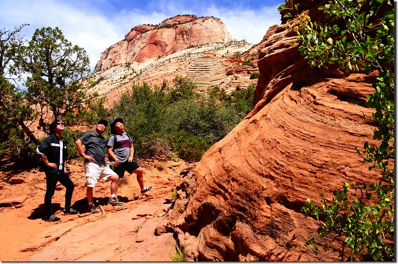
Canyon Overlook trail
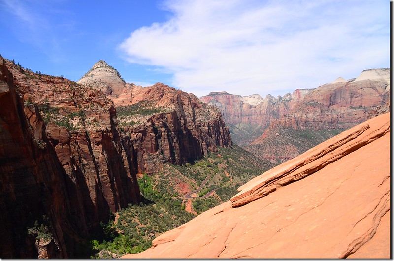
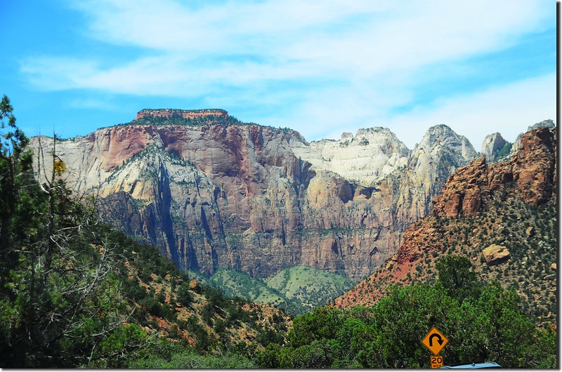
終點處峭壁頂端有一俯瞰點可俯瞰錫安峽谷及環視錫安公園幾座名山,這個俯瞰點下方即是"The Great Arch";上山約25分鐘。
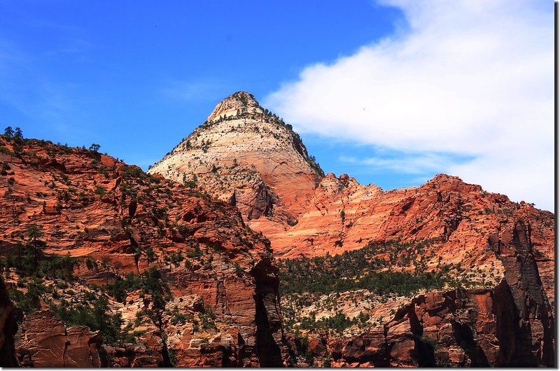
Looking west at Bridge Mountain from Canyon Overlook, Zion
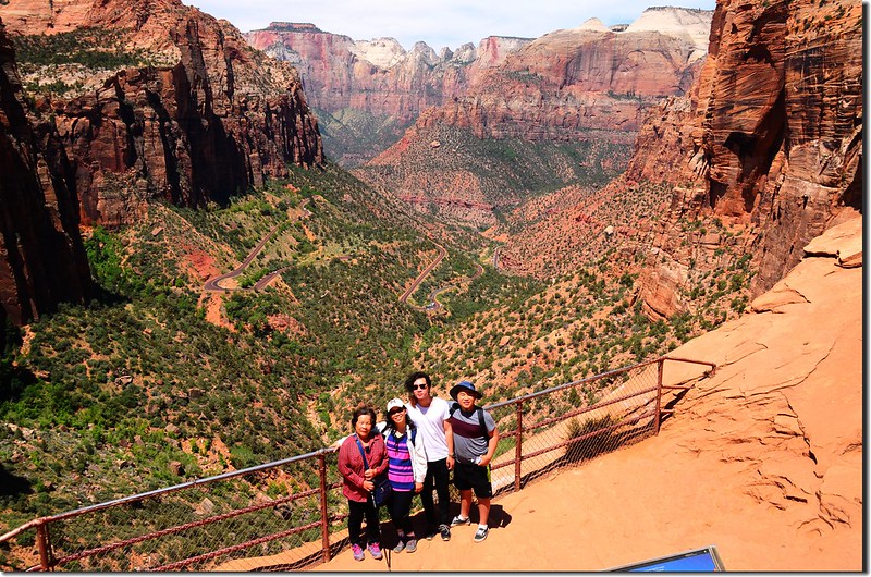
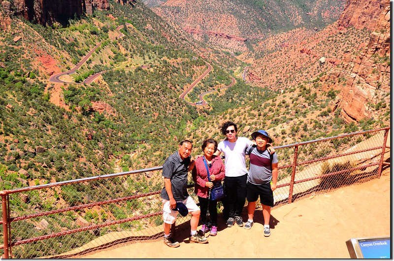
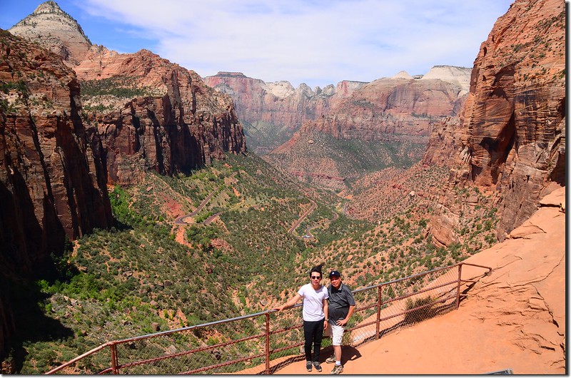

Zion Canyon Outlook
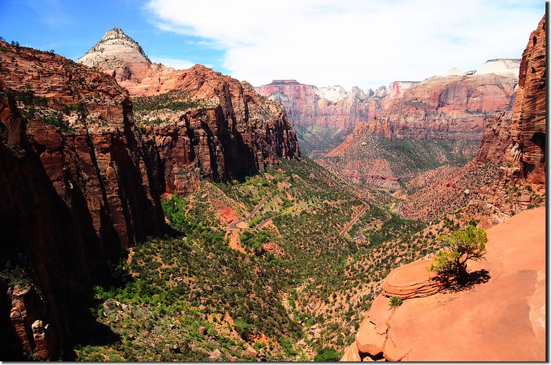
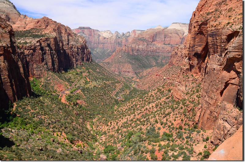
Looking down at Zion Canyon from Canyon Overlook, Zion
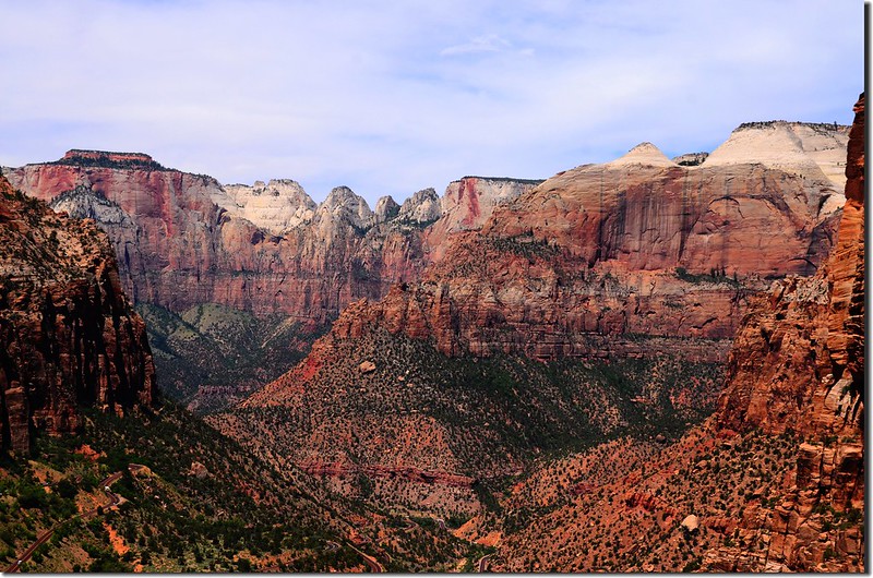
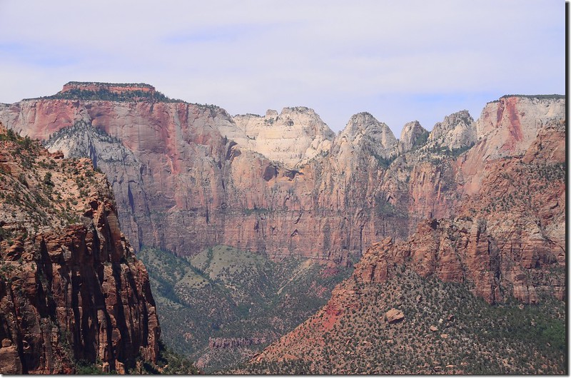
View to west from Canyon Overlook, Zion
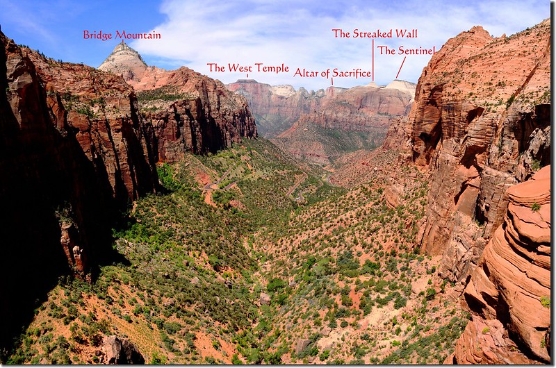
Canyon Overlook, Zion National Park
Beehive Rock above Canyon Overlook trail
Canyon Overlook trail
終點處峭壁頂端有一俯瞰點可俯瞰錫安峽谷及環視錫安公園幾座名山,這個俯瞰點下方即是"The Great Arch";上山約25分鐘。
Looking west at Bridge Mountain from Canyon Overlook, Zion
Zion Canyon Outlook
Looking down at Zion Canyon from Canyon Overlook, Zion
View to west from Canyon Overlook, Zion
Canyon Overlook, Zion National Park
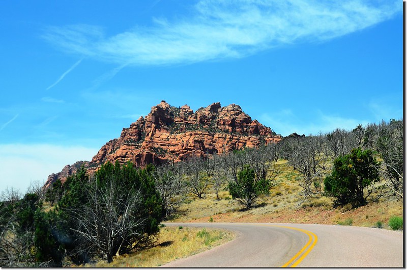
從Canyon Overlook Trail下山後車子經過Zion-Mt. Carmel隧道續往西行;

Scenic along Zion-Mt. Carmel Highway
中午我們到公園南入口的Springdale用中餐,用完中餐後開車沿UT-9 W西行前往錫安國家公園較少遊客前往的未在公園北端的Lava Point露營區走走,車子在Virgin右轉Kolob Terrace Rd北上;
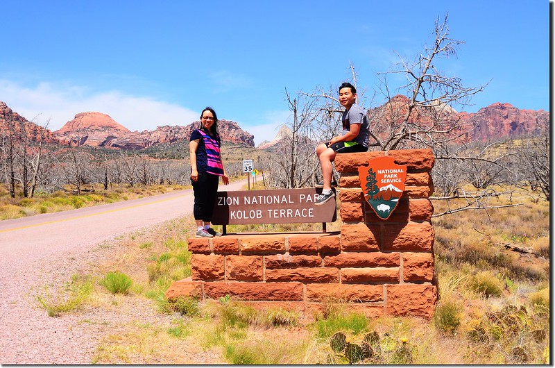
Zion National Park Kolob Terrace entrance
Scenic along Kolob Terrace Rd
行約20.3哩再右轉Lava Point Rd行約1.6哩抵達Lava Point露營區,我們到所謂的錫安國家公園最高俯瞰點Lava Point Overlook欣賞風景後再循原路回到今晚住宿地,位在公園西南邊不遠Hurricane市的一家私人RV旅館(Redhen Rental, Hurricane, UT);從錫安國家公園的南口開了一個多小時的車程才抵達Lava Point露營區,如不是在此露營或是來此hiking倒不建議特地到此一遊,太花時間了!
Scenic along Zion-Mt. Carmel Highway
中午我們到公園南入口的Springdale用中餐,用完中餐後開車沿UT-9 W西行前往錫安國家公園較少遊客前往的未在公園北端的Lava Point露營區走走,車子在Virgin右轉Kolob Terrace Rd北上;
Zion National Park Kolob Terrace entrance
Scenic along Kolob Terrace Rd
行約20.3哩再右轉Lava Point Rd行約1.6哩抵達Lava Point露營區,我們到所謂的錫安國家公園最高俯瞰點Lava Point Overlook欣賞風景後再循原路回到今晚住宿地,位在公園西南邊不遠Hurricane市的一家私人RV旅館(Redhen Rental, Hurricane, UT);從錫安國家公園的南口開了一個多小時的車程才抵達Lava Point露營區,如不是在此露營或是來此hiking倒不建議特地到此一遊,太花時間了!
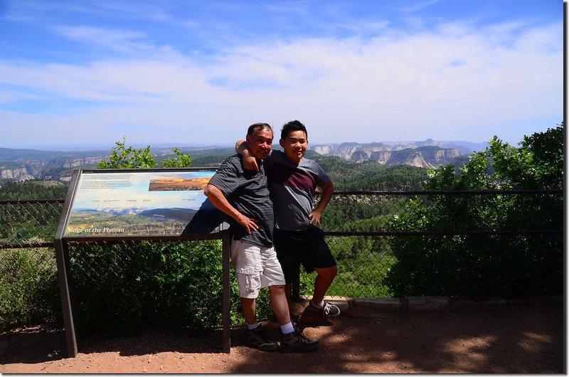
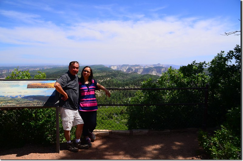
Lava Point Overlook
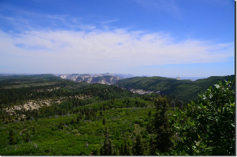
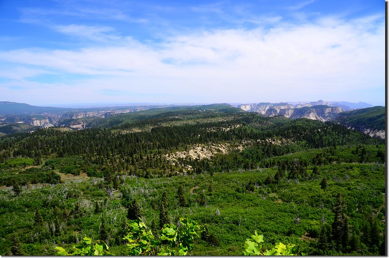
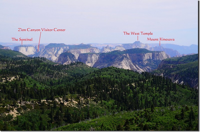
View to south at Zion National Park from Lava Point Overlook
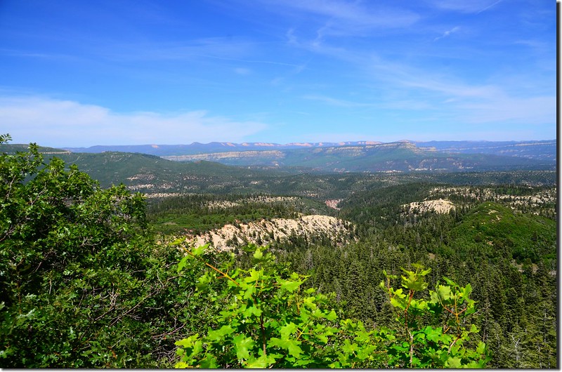
View to southeast from Lava Point Overlook
Lava Point Overlook
View to south at Zion National Park from Lava Point Overlook
View to southeast from Lava Point Overlook
Lava Point Overlook
今晚住宿的旅館倒是挺新鮮的,這是一輛標準的RV露營車,停放在主人住屋的院子裡,空間不是很寬敞,設備倒是很齊全,價錢又便宜,我們住一晚才六十多塊美金,真是一件全新的不同體驗!
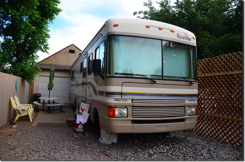
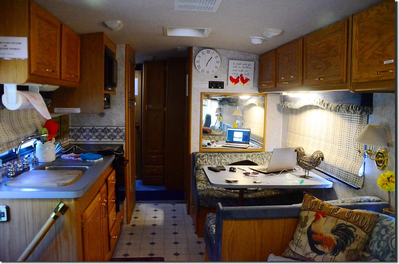
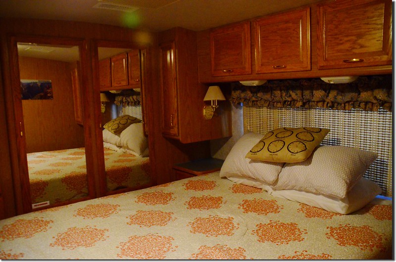
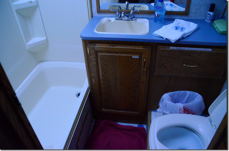
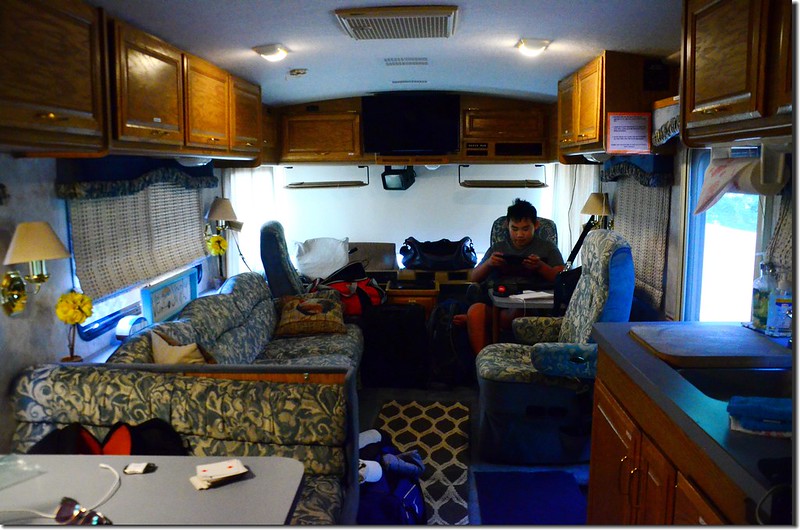
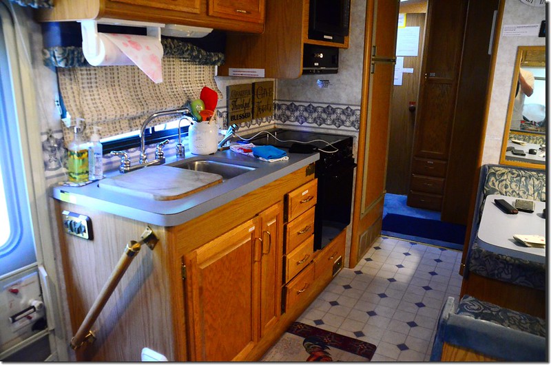
RV Hotel
RV Hotel
本日行車約250哩(400公里)
沒有留言:
張貼留言