~~~~~~~~~~~~~~~~~~~~~~~~~~~~~~~~~~~~~~~~~~~~~~~~~~~~~~~~~~~
第五天(2018.06.05、星期二)
今天主要行程是早上遊覽大峽谷國家公園北緣(North Rim)幾個觀景點後開車前往猶他(Utah)州的錫安國家公園(Zion National Park),下午在錫安國家公園除了先走一條Canyon Overlook Trail步道外,也開車到園區北邊的Lava Point Overlook一遊;本篇主要紀錄大峽谷國家公園北緣(North Rim)的幾個觀景點,至於錫安國家公園部分留待下一篇再介紹。
大峽谷國家公園北緣(North Rim)觀景點:
昨天下午在住宿旅館(Kaibab Lodge) check in後續沿AZ-67 S公路南下往大峽谷北緣遊客中心,在經過收費站(North Rim Visitor Services)行約9.5哩後遇左岔路不取(左岔往Cape Royal),取右繼續直行約3哩抵達大峽谷北緣(North Rim)的遊客中心;
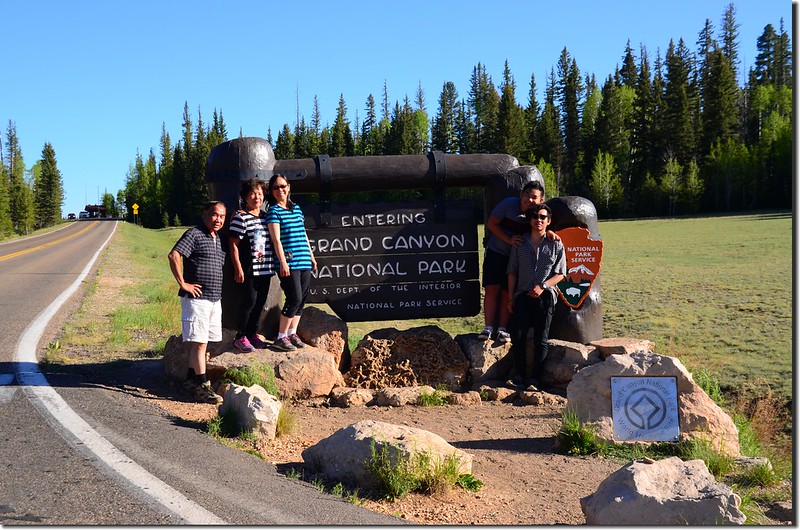
North Rim of Grand Canyon National Park sign
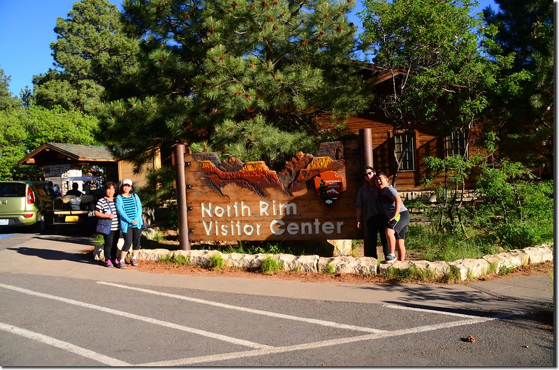
North Rim Visitor Center sign
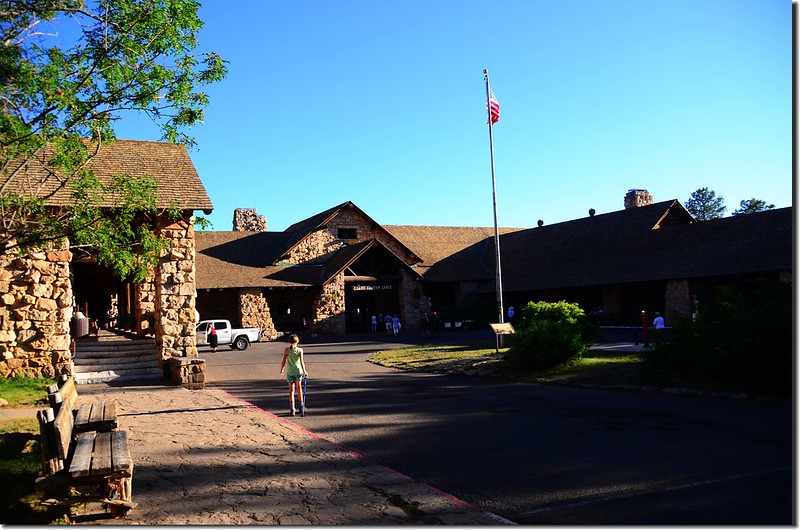
Grand Canyon Lodge
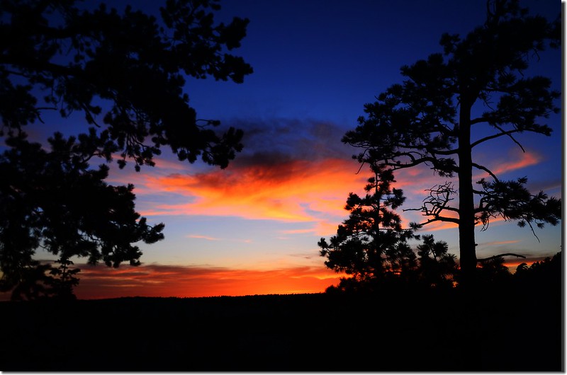
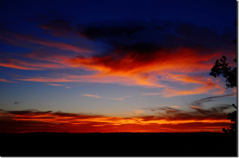
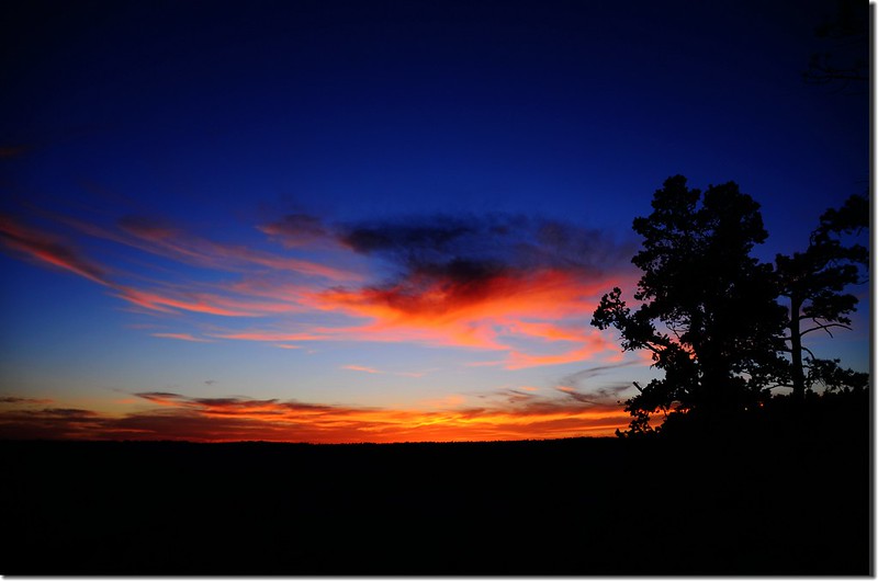
在那兒走了一條Bright Angel Point Trail,然後走一小段Transept Trail去看夕陽,看完夕陽後再返回旅館休息。
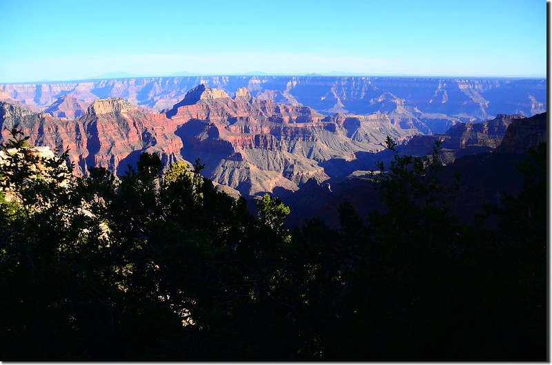
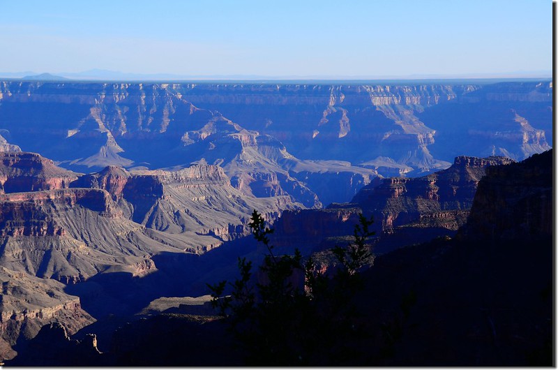
The view from Grand Canyon Lodge

North Rim of Grand Canyon National Park sign

North Rim Visitor Center sign

Grand Canyon Lodge
在那兒走了一條Bright Angel Point Trail,然後走一小段Transept Trail去看夕陽,看完夕陽後再返回旅館休息。


The view from Grand Canyon Lodge
(一) Bright Angel Point Trail
Bright Angel Point是目前大峽谷北緣最受歡迎的景點,因其他幾個觀景點例如Cape Royal、 Roosevelt Point、Point Imperial等都需要開幾哩的車程才能抵達,Bright Angel Point Trail從Grand Canyon Lodge後面與Transept Trail的分岔處開始往東南下行,大約0.4哩即可抵達Bright Angel觀景點,全程路面鋪設得很好走,落差不到一百呎(30公尺);
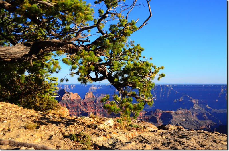
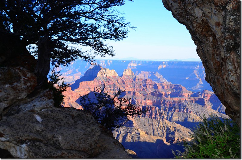
The view from Bright Angel trail
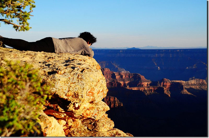
Looking down at the Grand Canyon from the cliff
尾端的Bright Angel觀景點可環視、俯瞰整個大峽谷風光;
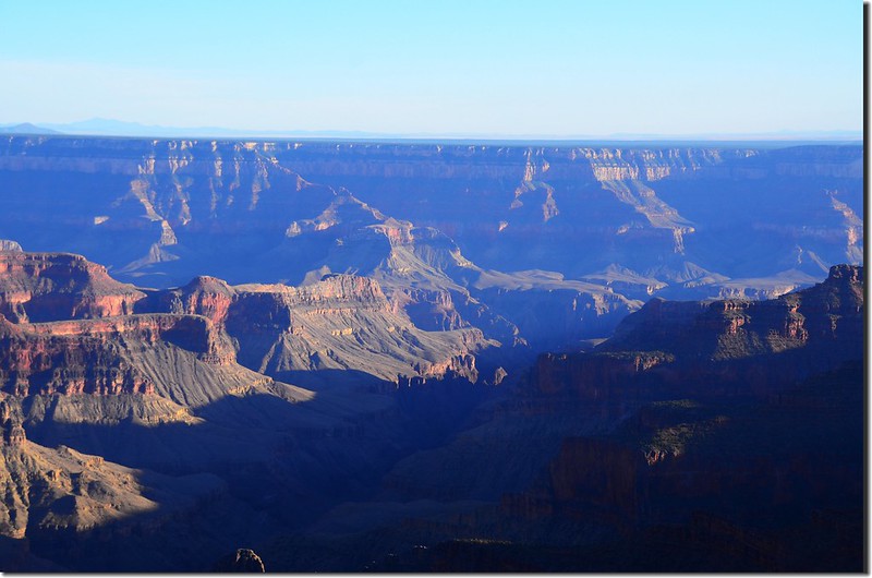
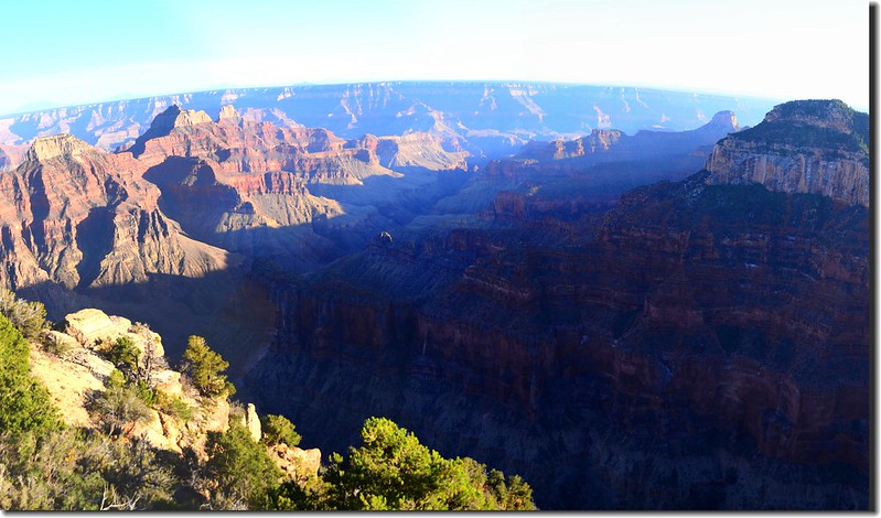
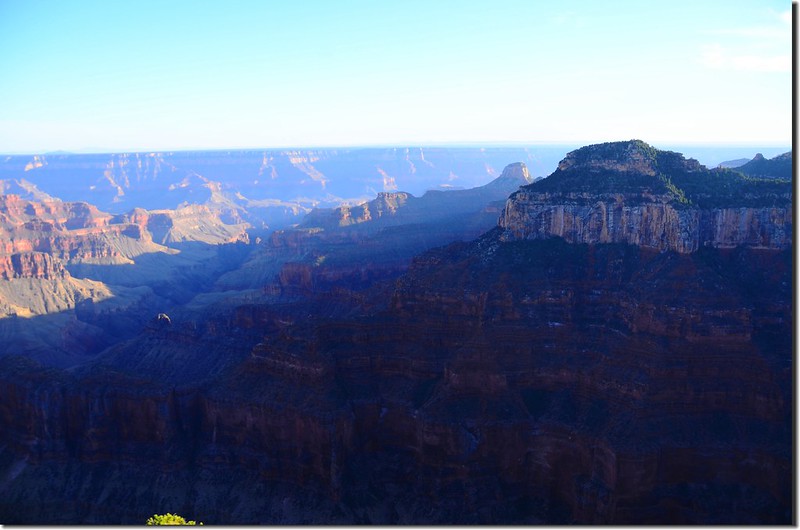
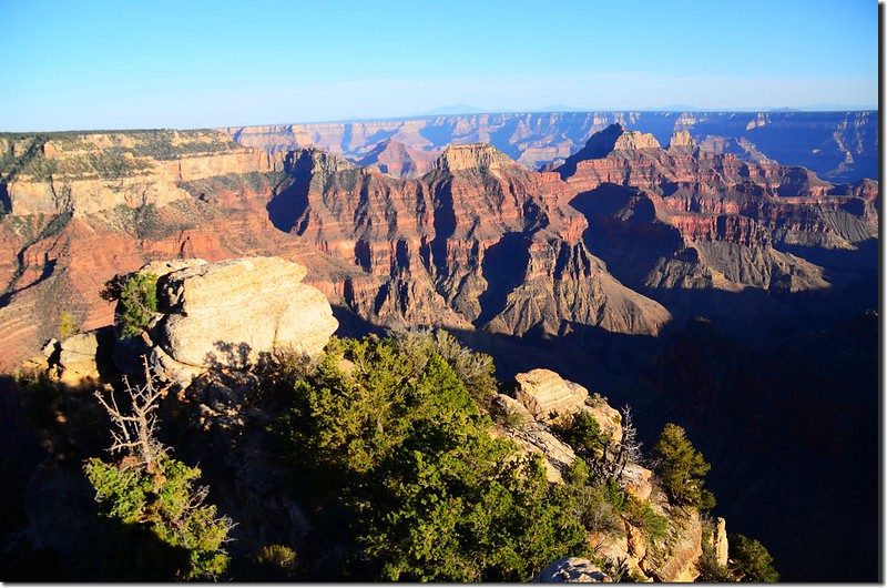
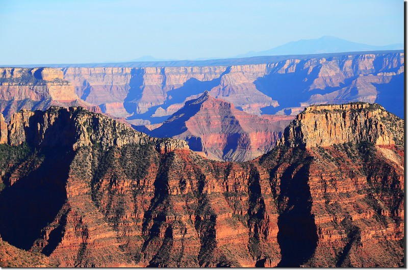
View to south at Grand Canyon from Bright Angel Point
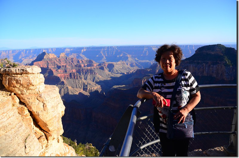
Taken from Bright Angel Trail
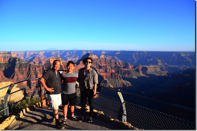
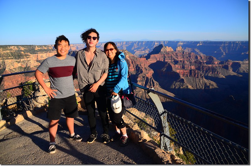
Taken from Bright Angel Point
中途有一高點,小心攀爬上去發現立有一枚標示標高海拔8,153呎的水準點(Benchmark)銅標,高點上展望極佳。
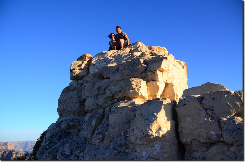
A high point along Bright Angel trail
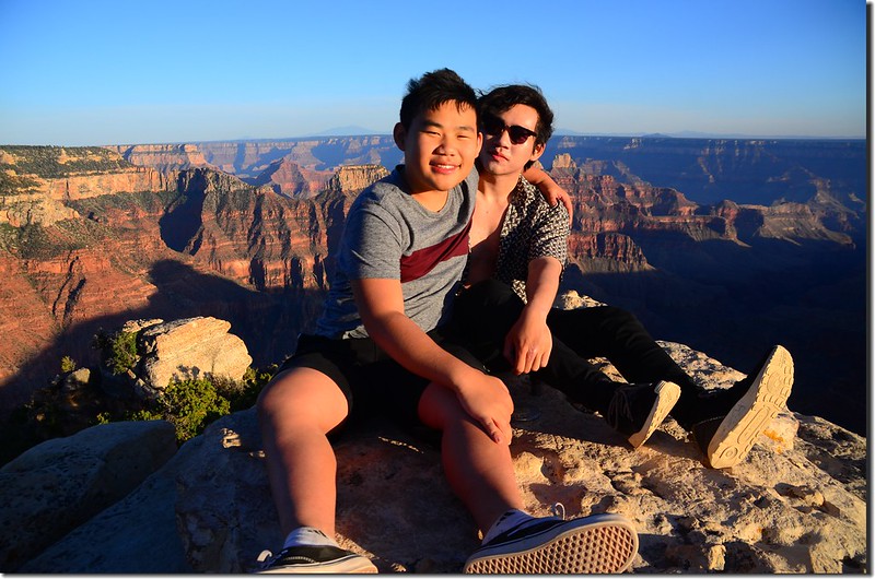
Matthew & Jacob on the high point
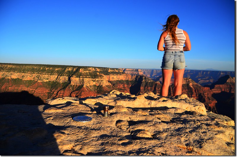
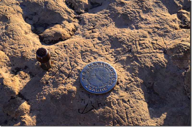
A Benchmark on the high point


The view from Bright Angel trail

Looking down at the Grand Canyon from the cliff
尾端的Bright Angel觀景點可環視、俯瞰整個大峽谷風光;


View to south at Grand Canyon from Bright Angel Point

Taken from Bright Angel Trail


Taken from Bright Angel Point
中途有一高點,小心攀爬上去發現立有一枚標示標高海拔8,153呎的水準點(Benchmark)銅標,高點上展望極佳。

A high point along Bright Angel trail

Matthew & Jacob on the high point


A Benchmark on the high point
~~~~~~~~~~~~~~~~~~~~~~~~~~~~~~~~~~~~~~~~~~~~~~~~~~~~~~~~~~~
今天清晨大家起個大早為的是去看日出,我們選擇到北緣最南端的Cape Royal,該點距住宿旅館開車要一個多小時,我們打算看完日出後一路沿著Cape Royal road北上,順路參觀沿途的北緣幾個觀景點,然後驅車前往猶他州的錫安(Zion)國家公園。
(一) Cape Royal
從昨晚住宿的Kaibab Lodge沿AZ-67 S公路南下往大峽谷北緣前進,在經過收費站(North Rim Visitor Services)行約9.5哩後向左轉往Cape Royal road,行約5.4哩遇岔路取右岔南行約15哩可抵Cape Royal停車場,從停車場沿一條鋪設好的步道行約0.6哩即抵達Cape Royal觀景點,今天沒甚麼雲彩,沒拍到想像中的日出,有點失望!
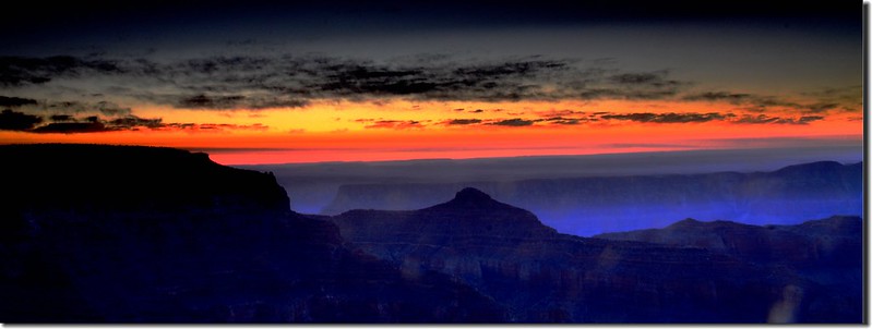
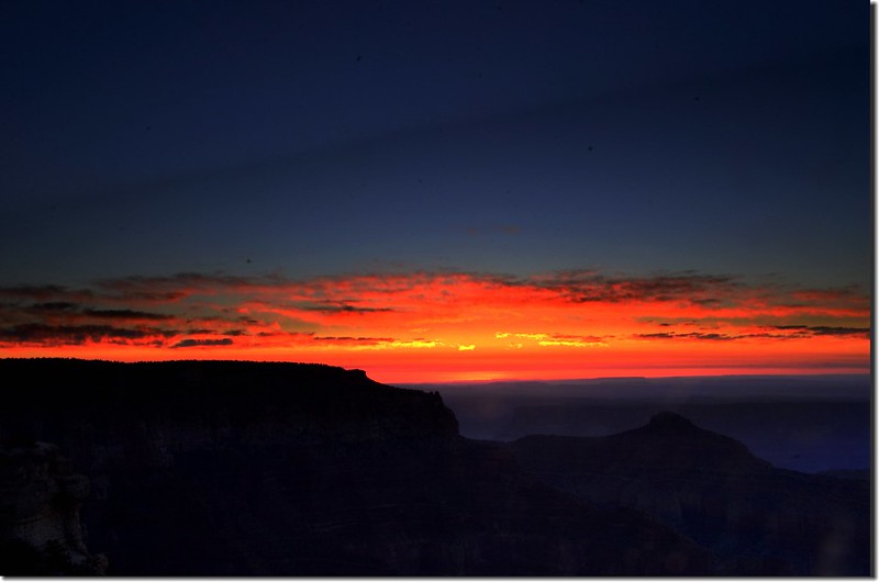
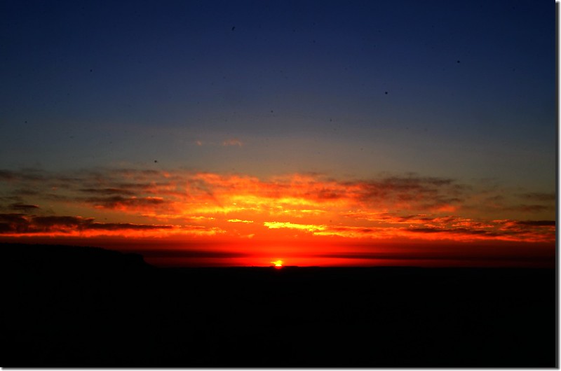
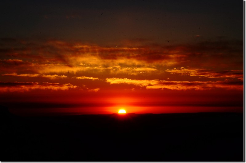
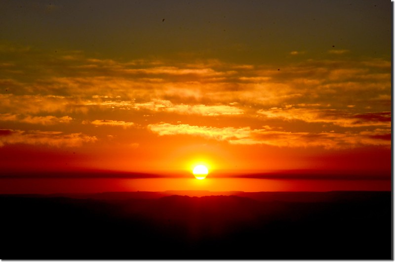
Looking at sunrise from Cape Royal Point


Looking at sunrise from Cape Royal Point
Cape Royal是大峽谷北緣最南端的一個觀景點,位在北緣遊客中心(North Rim Visitor Center)東南端約23哩處,它擁有270°的展望,是俯瞰大峽谷的最佳展望點;由Cape Royal望去北面是大理石峽谷(Marble Canyon),南面俯瞰Palisades of the Desert,西邊則是面對著數哩之外的大峽谷南緣(South Rim)遊客中心附近。
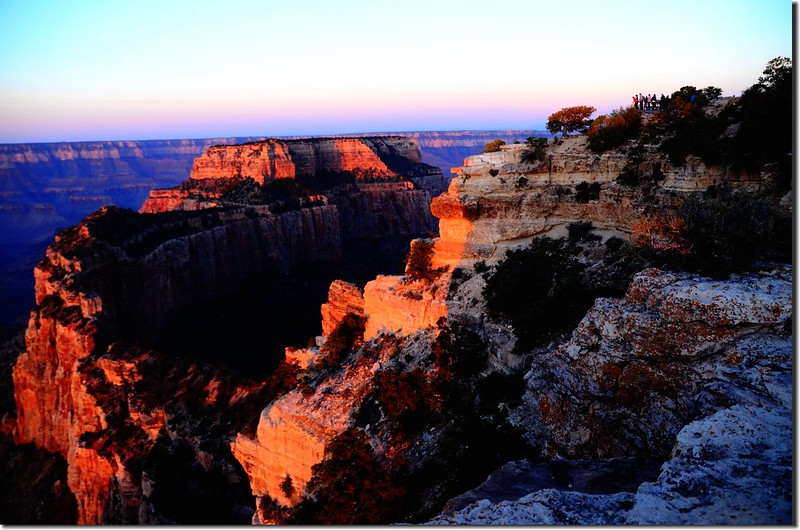
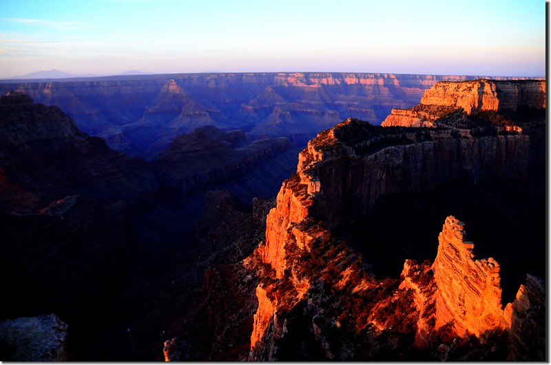
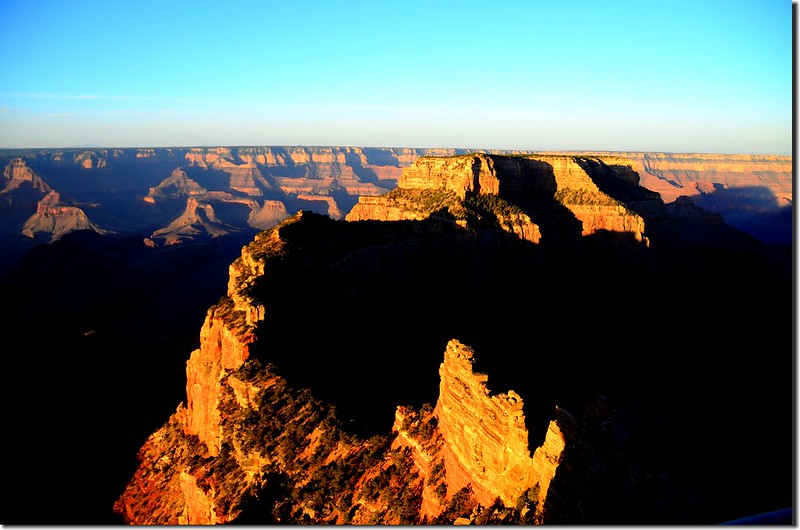
Looking down at Wotans Throne from Cape Royal Point
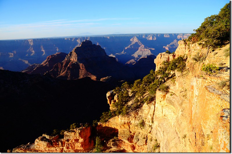
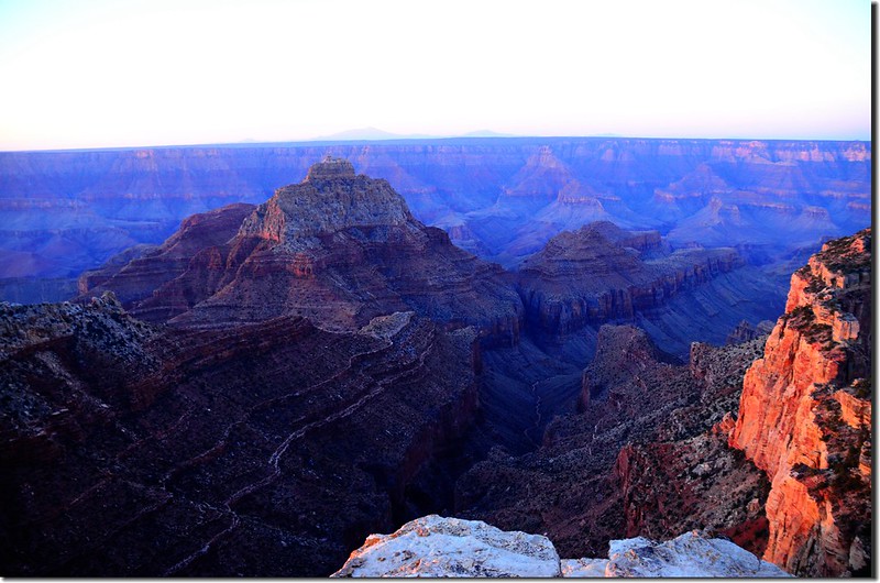
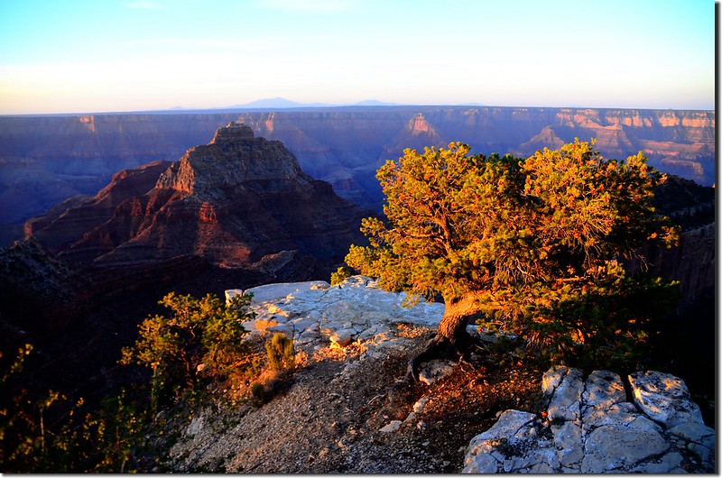
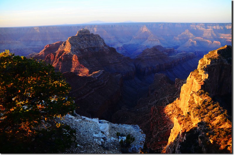
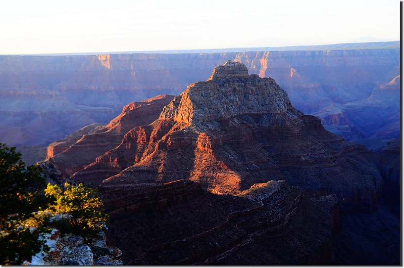
Vishnu Temple as viewed from Cape Royal on the North Rim of the Grand Canyon
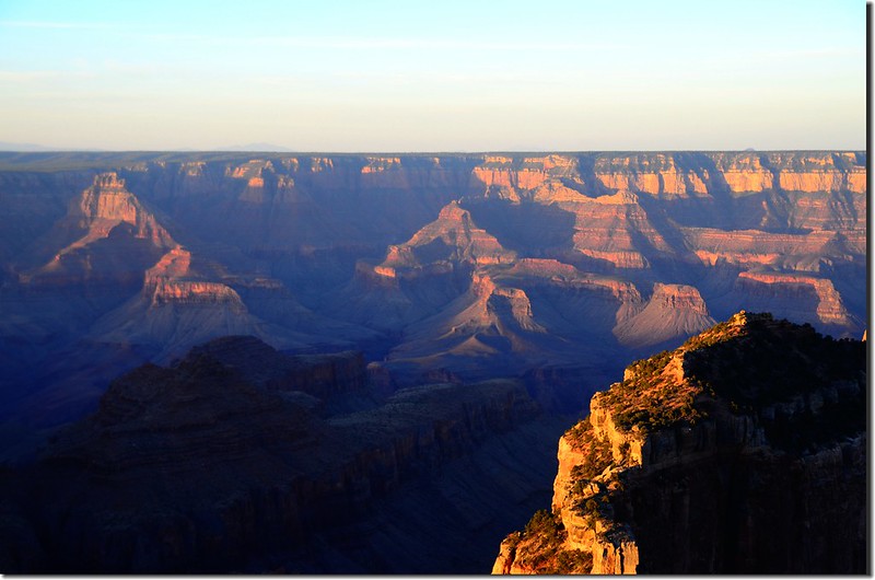
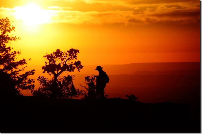
Taken from Cape Royal Point
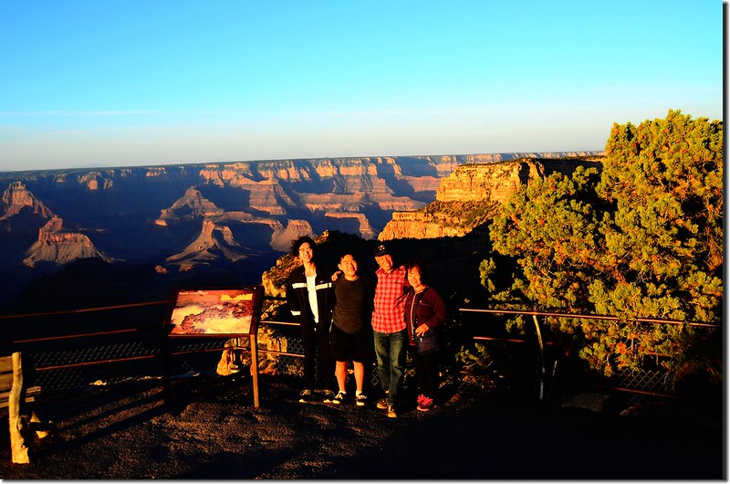
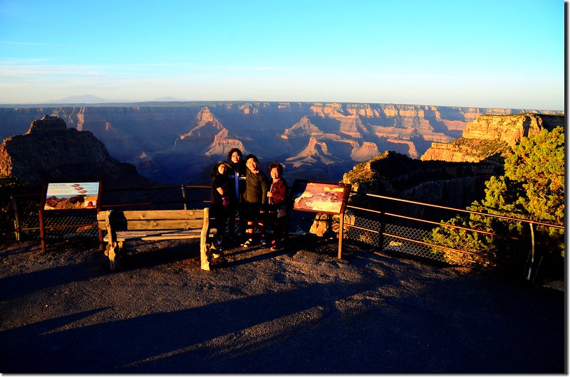
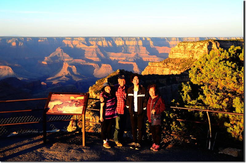
Taken from Cape Royal Point


Looking down at Wotans Throne from Cape Royal Point


Vishnu Temple as viewed from Cape Royal on the North Rim of the Grand Canyon


Taken from Cape Royal Point


Taken from Cape Royal Point
(二) Angels Window
由Cape Royal觀景點循原路回走約0.3哩遇Angels Window岔路右轉;
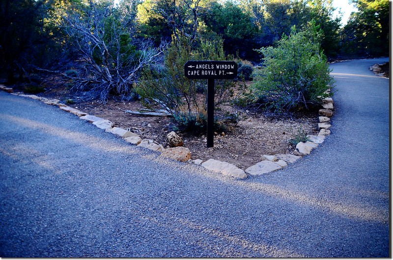
Cape Royal Trail
行約0.1哩即抵達Angels Window的觀景平台,但要真正看清楚Angels Window的全貌則必須要在往Cape Royal的步道旁才看得到。
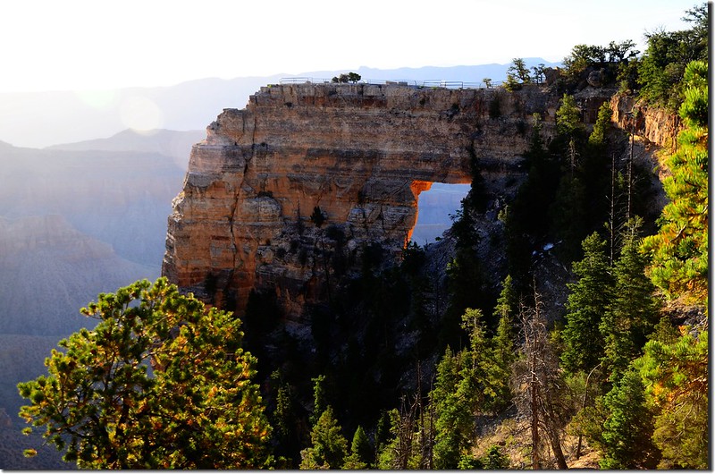
Angels Window, along the trail to Cape Royal
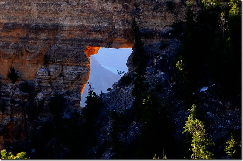
View of Colorado River through Angel's Window

Cape Royal Trail
行約0.1哩即抵達Angels Window的觀景平台,但要真正看清楚Angels Window的全貌則必須要在往Cape Royal的步道旁才看得到。

Angels Window, along the trail to Cape Royal

View of Colorado River through Angel's Window
Angels Window的觀景平台是一處跨過Angels Window的突出平台,站在平台上可以欣賞到峽谷奇觀的壯觀景色。
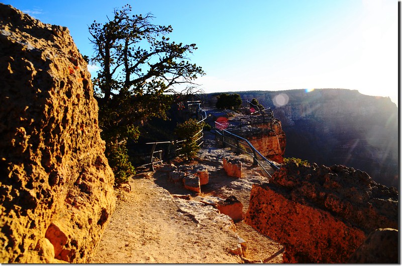
Path over top of Angel's Window
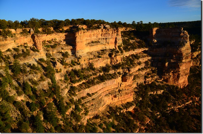
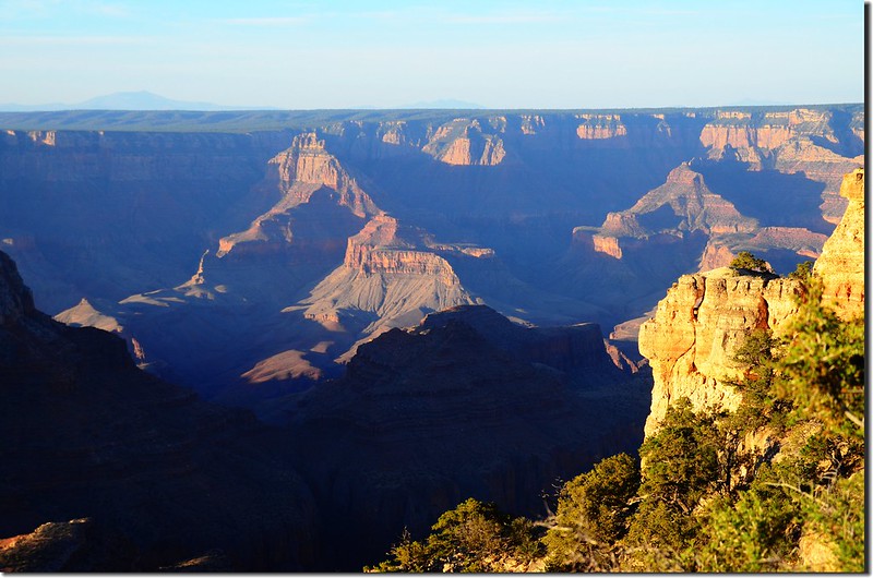
View from Atop Angel's Window
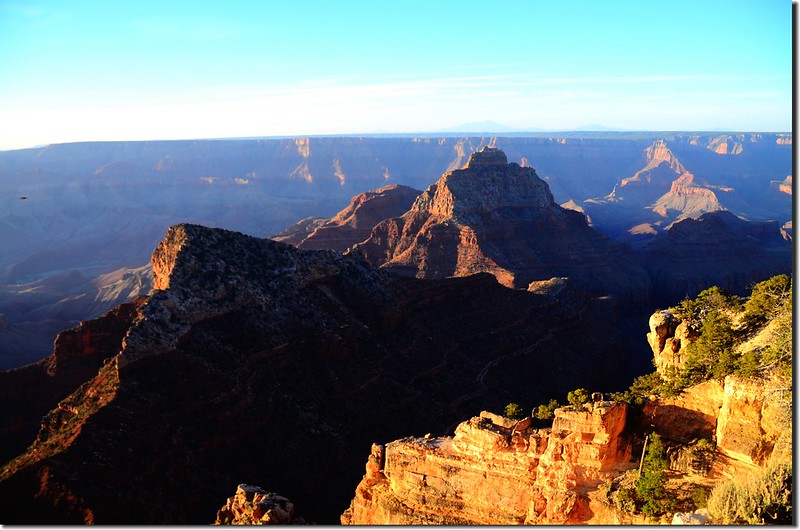
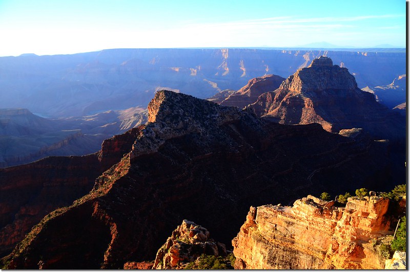
Freya Castle & Vishnu Temple as viewed from top of Angels Window on the North Rim of the Grand Canyon
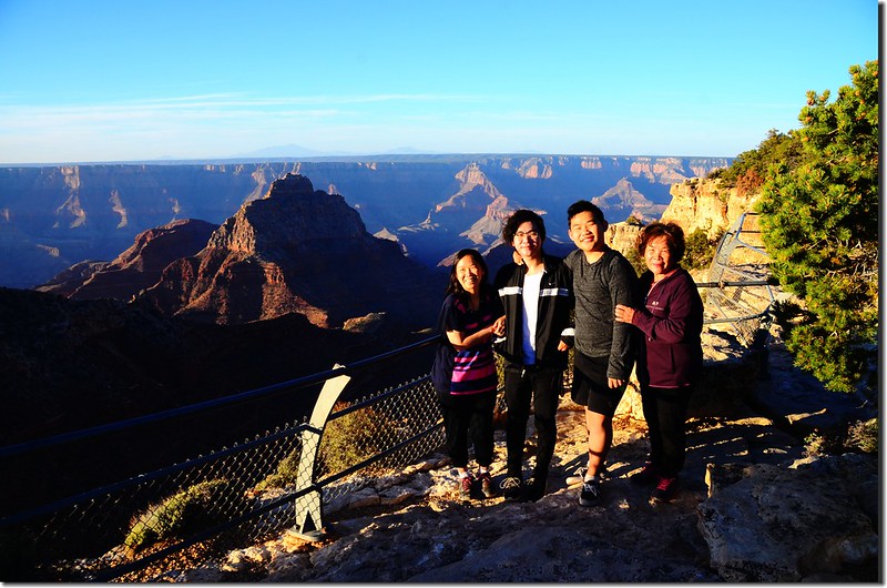
On top of Angels Window

Path over top of Angel's Window


View from Atop Angel's Window


Freya Castle & Vishnu Temple as viewed from top of Angels Window on the North Rim of the Grand Canyon

On top of Angels Window
(三) Walhalla Overlook
Walhalla Overlook位在大峽谷北緣Walhalla高原上,已接近Cape Royal road的盡頭,由Cape Royal停車場開車沿Cape Royal road回頭北行約1.4哩路右即是Walhalla Overlook觀景點。
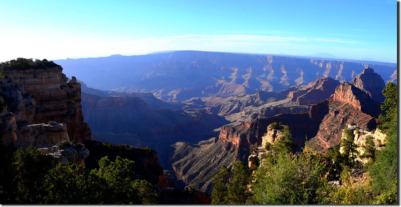
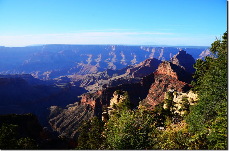
View from Walhalla Overlook


View from Walhalla Overlook
(四) Roosevelt Point
由Walhalla Overlook 開車繼續沿Cape Royal road回頭北行,行約6.6哩在公路大馬蹄彎處道路右側即是Roosevelt Point。
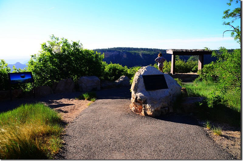
Roosevelt Point on the North Rim of the Grand Canyon

Roosevelt Point on the North Rim of the Grand Canyon
Roosevelt Point是園方在1990年為了紀念1919年創建大峽谷國家公園的美國第26任總統Roosevelt而新增的一個觀景點,此觀景點有一條單程約0.3哩的平坦小徑Roosevelt Point Trail,來回約20分鐘左右可俯瞰Kwagunt峽谷風光。
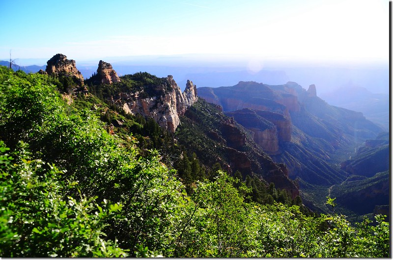
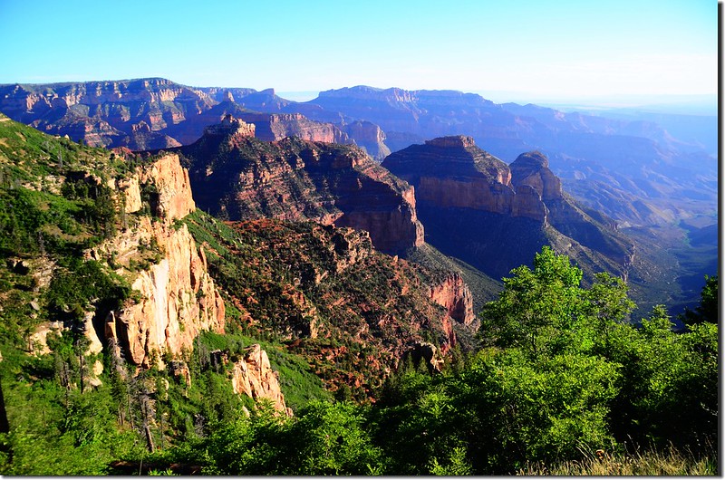
View from Roosevelt Point
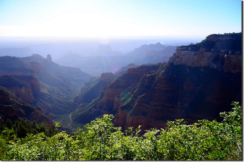
Kwagunt Valley, due east of Roosevelt Point
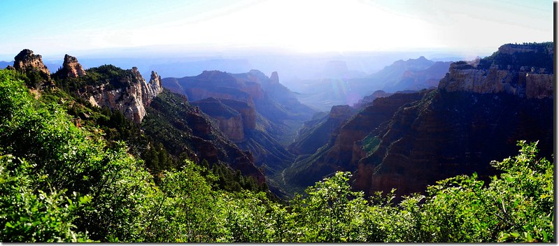
Kwagunt Valley, due east of Roosevelt Point


View from Roosevelt Point

Kwagunt Valley, due east of Roosevelt Point

Kwagunt Valley, due east of Roosevelt Point
(五) Point Imperial
由Roosevelt Point 沿Cape Royal road繼續西北行,行約6.3哩遇岔路,左岔回AZ-67 S公路,取右岔Point Imperial Rd朝東北行約2.7哩即抵達Point Imperial 。
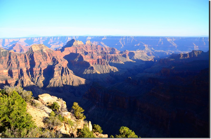
Point Imperial海拔8,383呎(2,555公尺),是北緣(North Rim)所有觀景點中海拔最高、位置最北端的一個觀景點,此觀景點提供與北緣南邊兩個有名的觀景點(Cape Royal、Bright Angel Point)截然不同的展望。
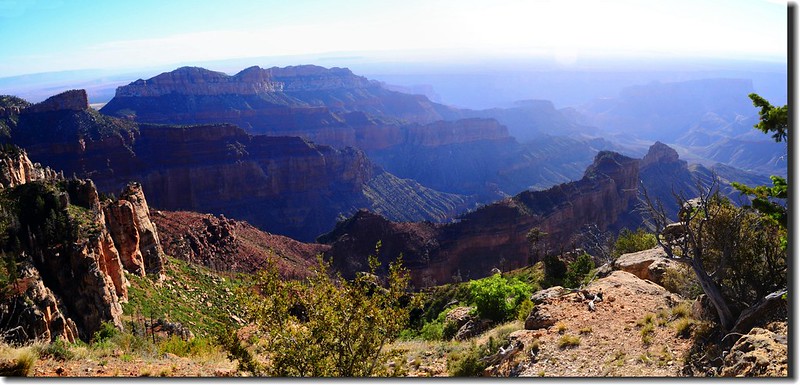
Boundary Ridge and Saddle Mountain, north of Point Imperial
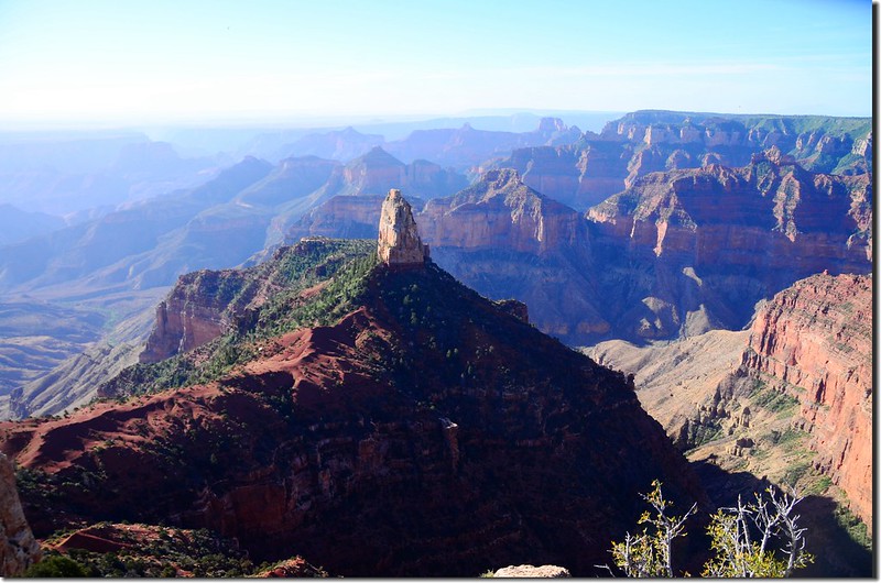
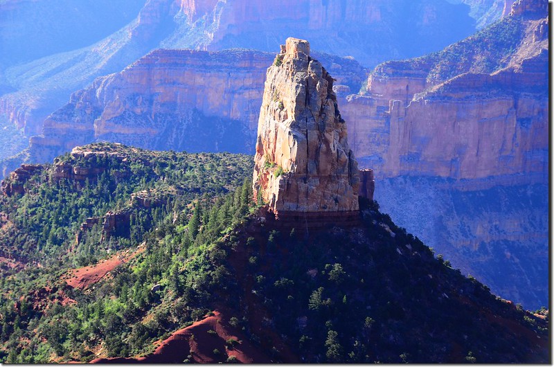
Mount Hayden from west of Point Imperial, Grand Canyon North Rim
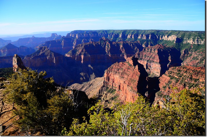
View from Point Imperial
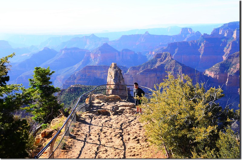
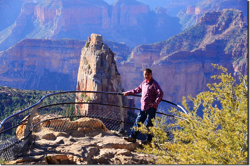
The Point Imperial Lookout
參觀完North Rim大部分景點後我們隨即開車前往猶他州的錫安國家公園(Zion National Park),今晚住宿錫安國家公園附近Hurricane city的Redhen Rental。

Boundary Ridge and Saddle Mountain, north of Point Imperial


Mount Hayden from west of Point Imperial, Grand Canyon North Rim

View from Point Imperial


The Point Imperial Lookout
參觀完North Rim大部分景點後我們隨即開車前往猶他州的錫安國家公園(Zion National Park),今晚住宿錫安國家公園附近Hurricane city的Redhen Rental。
本日行車約250哩(400公里)
沒有留言:
張貼留言