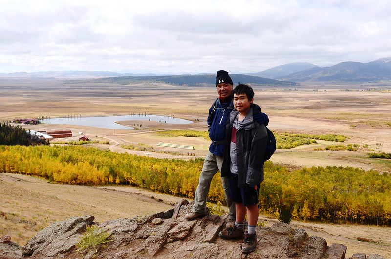
The viewpoint along Colorado Trail near 10,059 ft.
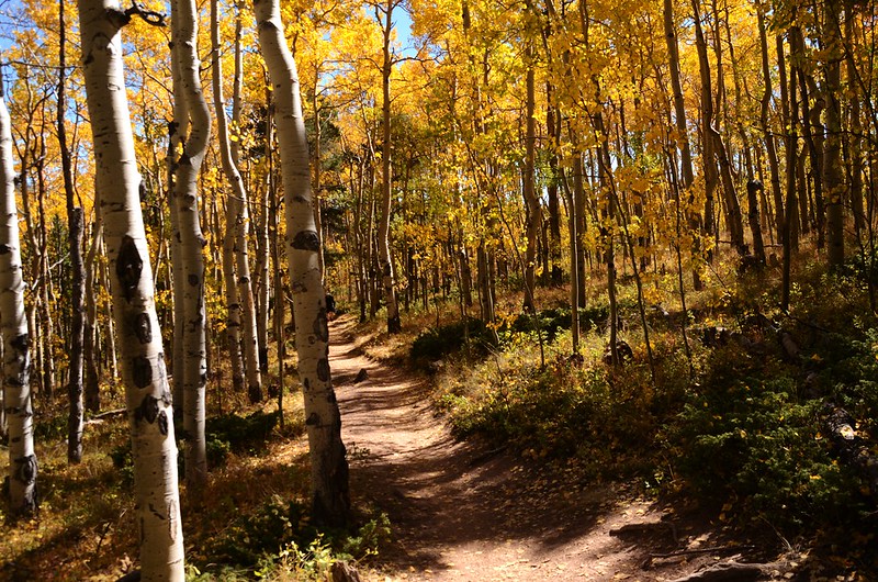
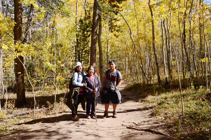
週六登山隊前往Kenosha Pass 走Colorado Trail第六區段的一小段欣賞白楊木(aspen)的金黃秋葉,該步道在前年同一時間我就曾跟登山隊前去走過,但那次遇到下雨沒盡情拍照,這次很不巧又遇到陰天無法拍出想要的亮麗色澤的金黃葉子,隔天(週日)正好是艷陽天,我再度隻身前往來回走了近10哩路,沿途亮麗的秋葉秋色真是驚艷不已,所以此篇記錄的人物照是週六登山隊的照片,風景照則是隔天我隻身前往時所拍攝。
Colorado Trail從Denver 到 Durango全長有486哩(782公里),共分33個區段(Colorado Trail Resources by Segment ),第六區段是指從Kenosha Pass 到 Breckenridge 北邊CO 9公路的Goldhill Trailhead這一區段,全長約32.5哩,我僅走到Deadman Creek便折返,來回約走了9.4哩;往年到Kenosha Pass賞白楊木都是走US 285 Hwy東側的區段,很少走過US 285 Hwy西側的區段,其實西側的景觀有別於東側的區段,大體來說東側的區段是走在高大的白楊木林裡,感覺上是被淹沒在一片金黃的林海裡;而走在西側的區段上則是曝露在稜線上,白楊木是沒東側區段那麼壯觀,但卻一路俯瞰South Park一望無際的山谷平原,真有不同的感受,沿途的aspen葉子幾乎都已轉為金黃色,令人驚艷不已!
-------------------------------------------------------------------------------------------------------
登山步道:Colorado Trail from Kenosha Pass to Georgia Pass
登山口:Colorado Trailhead at Kenosha Pass (海拔
登山終點:Deadman Creek,海拔10,131呎/3,088公尺
登山里程:9.32哩/15公里
總爬升高度:1,509呎/460公尺
登山時間:5小時40分
-------------------------------------------------------------------------------------------------------
行車資訊:
由Golden開車沿CO-470南下,在Exit 5A出口下交流道後走US-285 S朝Fairplay西南行;一路沿US-285 S西南行約46.8哩後抵達Kenosha Pass,我將車開到東側的停車場停車。


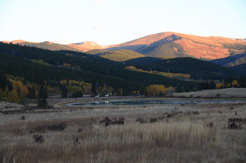
Fall foliage hike at Colorado Trail, Kenosha Pass


Fall foliage hike at Colorado Trail, Kenosha Pass
步程簡述:
07:15 Colorado Trail登山口,海拔9,980呎/3,042公尺;


Colorado Trailhead
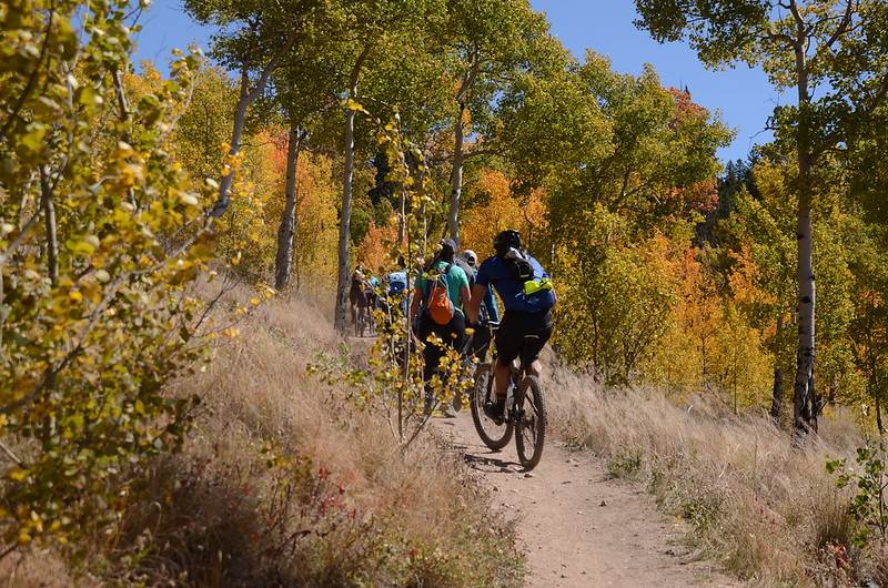
登山口右側車道通往露營區,取直行小徑上山,沿著小徑進入白楊木林中西行,小緩坡,此段步道是行人、越野單車共用路線,所以不時有單車經過,宜加小心。


Colorado Trailhead
登山口右側車道通往露營區,取直行小徑上山,沿著小徑進入白楊木林中西行,小緩坡,此段步道是行人、越野單車共用路線,所以不時有單車經過,宜加小心。
07:20 穿越露營區一條車道繼續沿登山小徑前進,隨即進入一片純松林,在純松林間行約四、五分鐘後又進入白楊木、松林混生林中緩坡上行。
07:29 步道右下方松林中有一座以松樹枯木架成類似印地安圓錐形帳蓬(Tepee)的建物,可能是可做為臨時避難處,海拔10,131呎/3,088公尺,距登山口約0.4哩/0.65公里;類似的建物往後的路程還有多座。
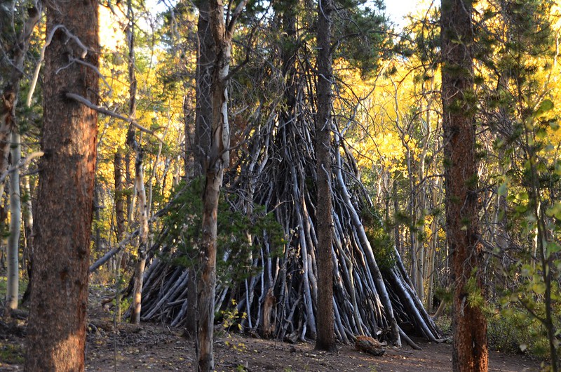
Amazing shelters along the trail

Amazing shelters along the trail
07:32 經過一條高壓電輸電塔線路,透空處北望遠山及腳下的US 285公路。
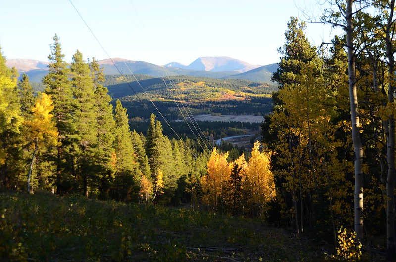
Fall foliage hike at Colorado Trail, Kenosha Pass


Fall foliage hike at Colorado Trail, Kenosha Pass

Fall foliage hike at Colorado Trail, Kenosha Pass


Fall foliage hike at Colorado Trail, Kenosha Pass
07:48 抵稜線高點,海拔10,351呎/3,155公尺,距登山口約0.99哩/1.59公里;在稜線高點林中緩平走一小段路後抵一處越稜展望點。
07:49 越稜展望點,海拔10,344呎/3,153公尺,距登山口約1.0哩/1.6公里;此處視野豁然開朗,這也是步道的一處越稜點,設有一張木椅供登山客休息賞景。

Fall foliage hike at Colorado Trail, Kenosha Pass

Fall foliage hike at Colorado Trail, Kenosha Pass
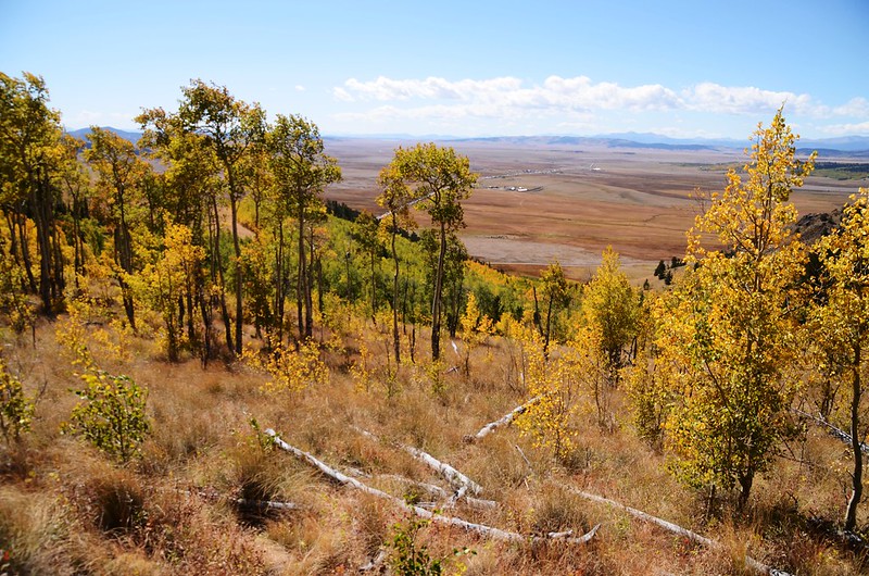
在此高點俯瞰南邊的South Park valley area,開闊的草原展望頗佳,在此小休後續行,開始在開闊地緩坡下行,步道兩旁是稀疏的小白楊木,不妨礙好展望。



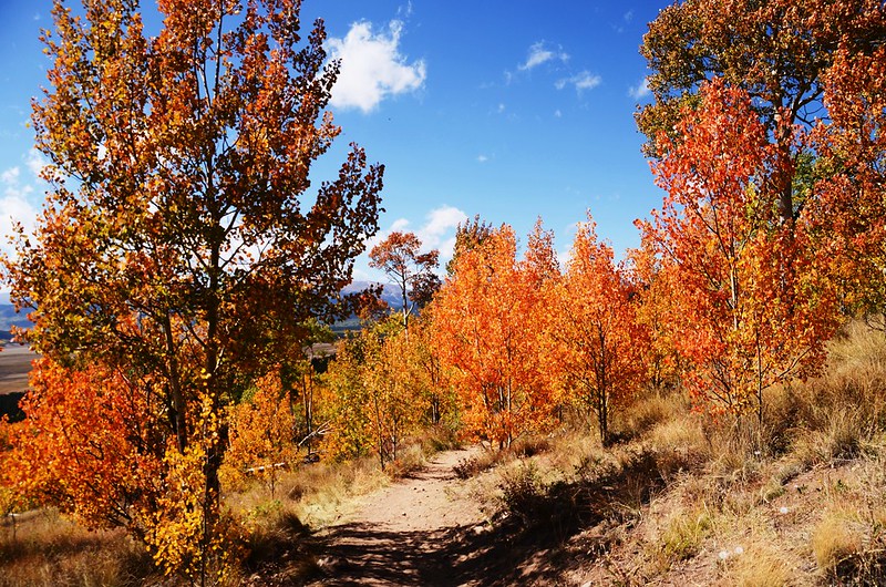
Fall foliage hike at Colorado Trail, Kenosha Pass


Fall foliage hike at Colorado Trail, Kenosha Pass
08:02 路右一片空曠草原,勿進入,路徑偏向左行;海拔10,262呎/3,128公尺,距登山口約1.5哩/2.4公里。
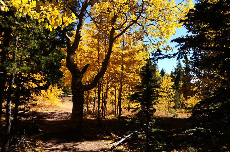
Fall foliage hike at Colorado Trail, Kenosha Pass

Fall foliage hike at Colorado Trail, Kenosha Pass
08:10 出白楊木林抵另一高點,路徑左側有一處展望點,海拔10,338呎/3,151公尺,距登山口約1.8哩/2.9公里。


The viewpoint at Colorado Trail near 10,338 ft.


The viewpoint at Colorado Trail near 10,338 ft.
過了展望點後沿步道繼續下行,偶而穿過白楊木林,絕大部分時間是行在開闊毫無掩蔽的斜坡草原步道上,西邊不遠處海拔10,511呎(3,203 公尺)的Jefferson Hill特別顯眼,而在更遠的幾座13ers和14ers也都入鏡。


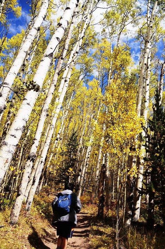


Fall foliage hike at Colorado Trail, Kenosha Pass

Looking at Jefferson Hill from Colorado Trail near 10,085 ft.
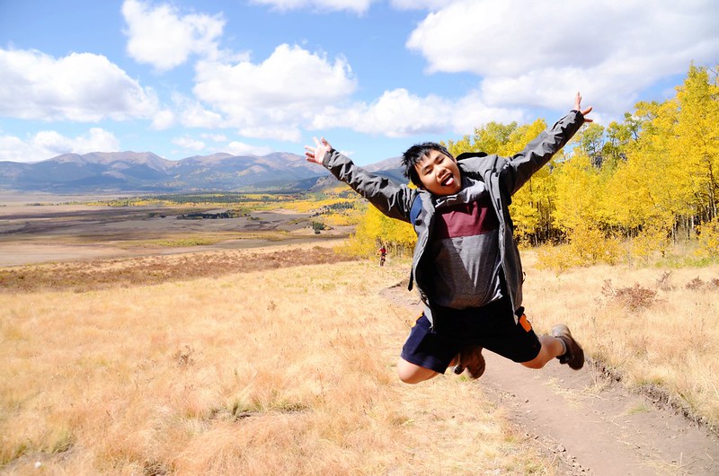
Fall foliage hike at Colorado Trail, Kenosha Pass


Fall foliage hike at Colorado Trail, Kenosha Pass

Looking at Jefferson Hill from Colorado Trail near 10,085 ft.

Fall foliage hike at Colorado Trail, Kenosha Pass
08:45 在步道左側又有一突出岩石展望點,海拔10,059呎/3,066公尺,距登山口約2.61哩/4.2公里;

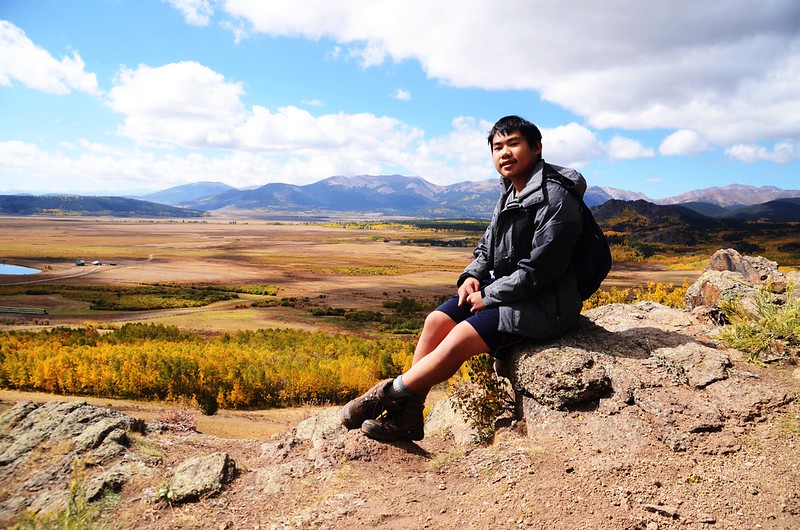
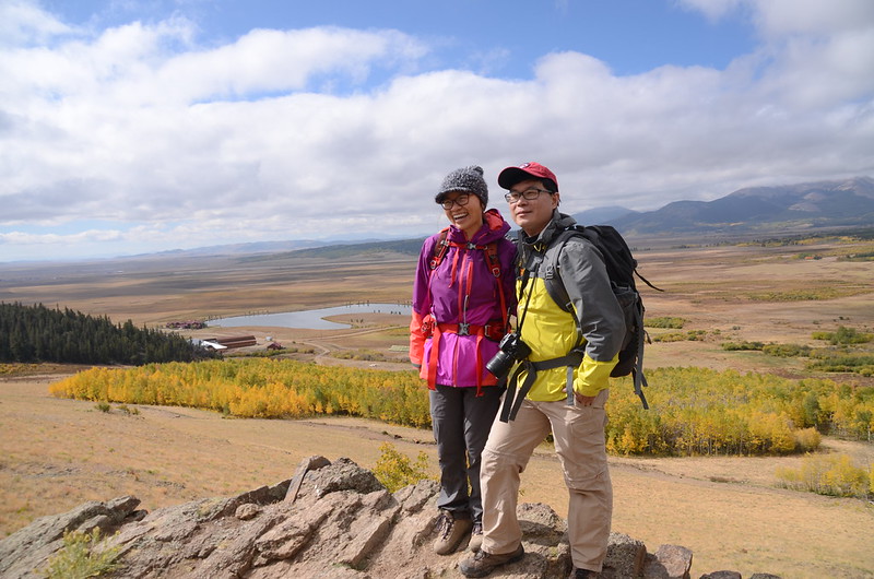
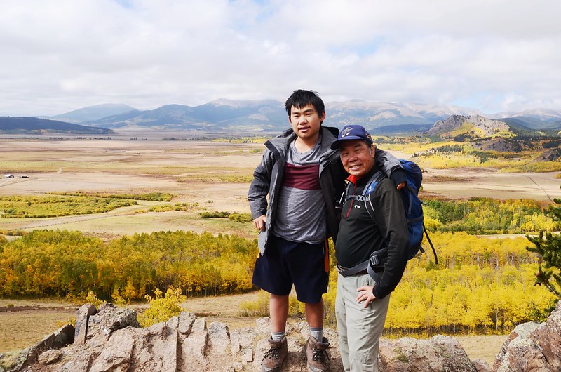
The viewpoint along Colorado Trail near 10,059 ft.

Looking southwest at mountains from Colorado Trail near 10,059 ft.
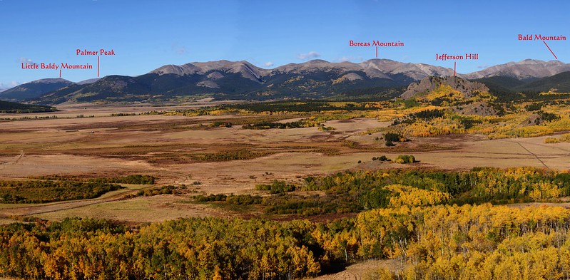
Looking west at mountains from Colorado Trail near 10,059 ft.
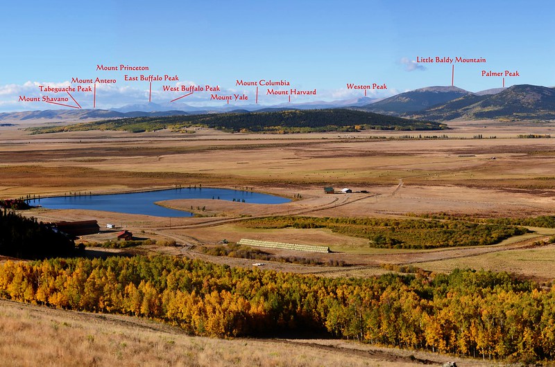
Looking southwest at mountains from Colorado Trail near 10,059 ft.
在展望點小休後繼續沿著斜坡下行,不時有越野單車經過,要隨時注意前後動靜。
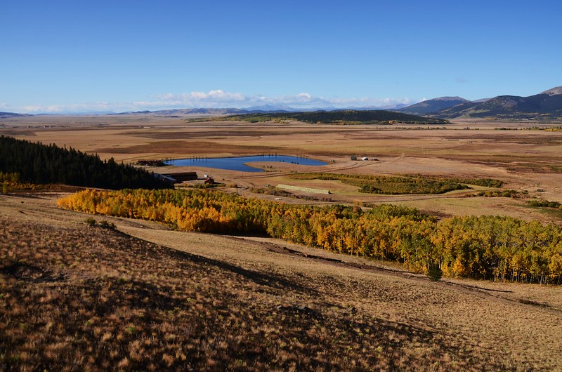

Looking down Baker Reservoir from Colorado Trail near 9,987 ft.
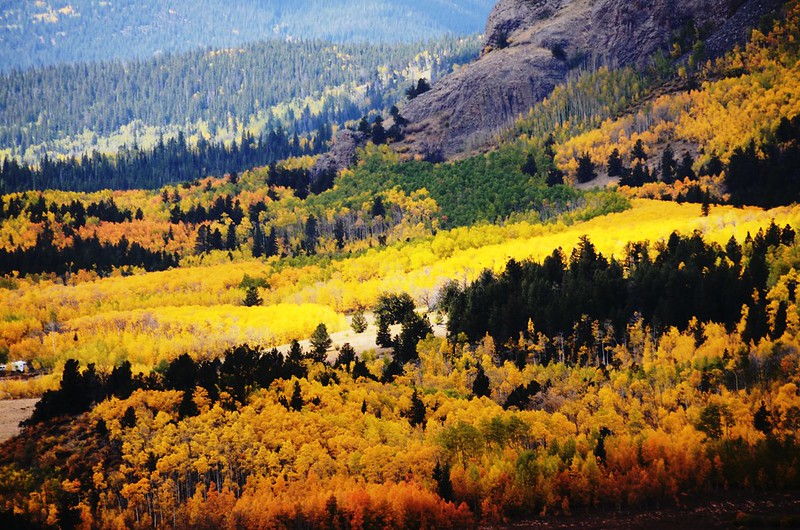


Fall foliage hike at Colorado Trail, Kenosha Pass

Looking at Jefferson Hill from Colorado Trail near 9,908 ft.


The viewpoint along Colorado Trail near 10,059 ft.

Looking southwest at mountains from Colorado Trail near 10,059 ft.

Looking west at mountains from Colorado Trail near 10,059 ft.

Looking southwest at mountains from Colorado Trail near 10,059 ft.
在展望點小休後繼續沿著斜坡下行,不時有越野單車經過,要隨時注意前後動靜。


Looking down Baker Reservoir from Colorado Trail near 9,987 ft.


Fall foliage hike at Colorado Trail, Kenosha Pass

Looking at Jefferson Hill from Colorado Trail near 9,908 ft.
09:05 登山步道穿越一條越野車車道(County Road 809)後進入白楊木林續行;海拔9,879呎/3,011公尺,距登山口約2.98哩/4.8公里。


Fall foliage hike at Colorado Trail, Kenosha Pass


Fall foliage hike at Colorado Trail, Kenosha Pass
09:08 由一根獨木橋跨過Guernsey Creek,海拔9,856呎/3,004公尺,距登山口約3.04哩/4.9公里。

Crossing a makeshift log bridge at Guernsey Creek

Crossing a makeshift log bridge at Guernsey Creek
過了Guernsey Creek不遠步道出了白楊木林,面對的又是一片寬闊大草原,左側不遠處有簡易圍籬,應是農場界線。


Fall foliage hike at Colorado Trail, Kenosha Pass


Looking at Jefferson Hill from Colorado Trail near 9,836 ft.

Fall foliage hike at Colorado Trail, Kenosha Pass


Fall foliage hike at Colorado Trail, Kenosha Pass


Looking at Jefferson Hill from Colorado Trail near 9,836 ft.

Fall foliage hike at Colorado Trail, Kenosha Pass
09:21 抵山谷最低點,此處海拔約9,816呎/2,992公尺,距登山口約3.36哩/5.4公里;步道續朝西方微幅爬升。

Fall foliage hike at Colorado Trail, Kenosha Pass

Fall foliage hike at Colorado Trail, Kenosha Pass
09:28 步道又進入白楊木林,海拔約9,865呎/3,007公尺,距登山口約3.54哩/5.7公里;

Fall foliage hike at Colorado Trail, Kenosha Pass
此後步道仍在一區塊一區塊的白楊木林中進進出出。


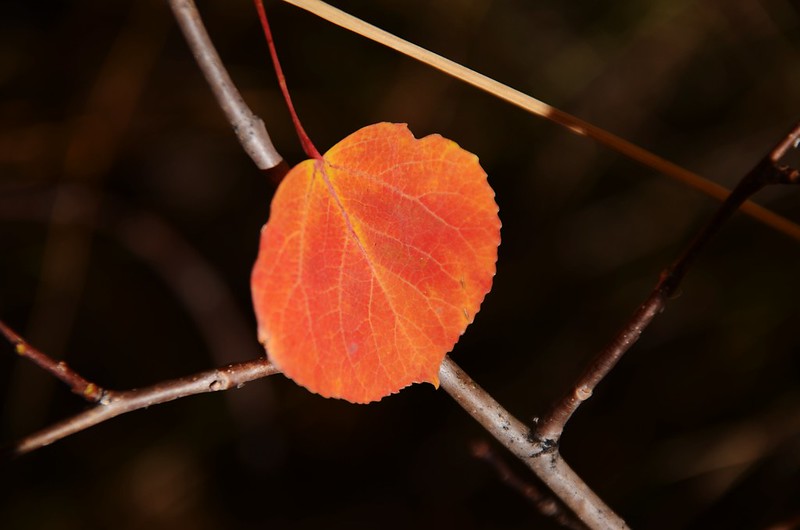

Fall foliage hike at Colorado Trail, Kenosha Pass

Jefferson Hill, Colorado Trail, Kenosha Pass

Fall foliage hike at Colorado Trail, Kenosha Pass
此後步道仍在一區塊一區塊的白楊木林中進進出出。


Fall foliage hike at Colorado Trail, Kenosha Pass

Jefferson Hill, Colorado Trail, Kenosha Pass
10:01 抵一處較空曠處,西南向清楚的看到海拔10,511 呎 / 3,204 公尺的Jefferson Hill,此處海拔10,079 呎 / 3,072 公尺,距登山口約4.35哩/7.0公里。


Looking southwest at Jefferson Hill from Colorado Trail near 10,511 ft.


Fall foliage hike at Colorado Trail, Kenosha Pass


Looking southwest at Jefferson Hill from Colorado Trail near 10,511 ft.


Fall foliage hike at Colorado Trail, Kenosha Pass
10:20 抵達一Jeep 車道County Road 427,該車道是由北往南下行,Colorado Trail與County Road 427交叉口有良好展望;

Colorado Trail & County Road 427 junction


Looking south at Jefferson Hill from Colorado Trail & County Road 427 junction
穿過車道Colorado Trail續往西行。

Colorado Trail & County Road 427 junction


Looking south at Jefferson Hill from Colorado Trail & County Road 427 junction
穿過車道Colorado Trail續往西行。
10:30 抵達Deadman Creek,小溪上有兩根方形大原木橫在兩端藉以通行,海拔約10,131呎/3,088公尺,距登山口約4.72哩/7.6公里;

Crossing a makeshift log bridge at Deadman Creek
過小溪後步道開始轉向北行。

Crossing a makeshift log bridge at Deadman Creek
過小溪後步道開始轉向北行。
10:31 步道左側林中一處營地,營地上殘留一堆已處理好的炭火餘燼,海拔約10,138呎/3,090公尺,距登山口約4.78哩/7.7公里;在此折返,循原路下山。

Camping site along Colorado Trail

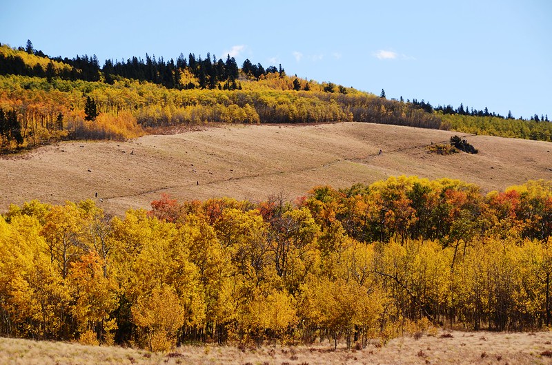


Fall foliage hike at Colorado Trail, Kenosha Pass

Camping site along Colorado Trail


Fall foliage hike at Colorado Trail, Kenosha Pass


沒有留言:
張貼留言