Mount Bierstadt and The Sawtooth from Guanella Pass Trailhead
攀登山岳: Mount Bierstadt (海拔14,060呎 /
登山口:Guanella Pass Trailhead(海拔11,669呎/3,557公尺)
登山里程(來回):約 7 哩(
爬升高度:約2,850呎 / 869公尺
攀登等級:Class 2
登山時間:5小時40分
----------------------------------------------------------------------------------------------
山岳簡介:
Mount Bierstadt位在丹佛西方約50哩的地方,海拔14,060 呎 (4,285公尺),屬於落磯山脈的Front Range範圍內,行政區隸屬於科羅拉多的Clear Creek County,他是科羅拉多54座14ers(海拔超過14,000呎的山岳)中的其中一座,排名第38,距離在他東北方的另一座14ers--Mount Evans僅1.5哩,此山是為了Albert Bierstadt而命名,Albert Bierstadt是19世紀知名的落磯山脈山水畫家。
攀登 Mount Bierstadt最大眾化的路線是由其西邊的 Guanella Pass登山口起登,單程 約3.5哩,爬升高度約2,850呎 / 869公尺,在所有14ers中是屬於較好爬的一座山。該座山我曾兩度攀登。第一次是在2006年夏天和山友Thomas和George 從Guanell Pass登山口攻頂,那次我們由該登山口攀登Mount Bierstadt 後,經由Sawtooth Ridge再攀登Mount Evans,然後由Sawtooth 和 Mt. Spalding之間的小峽谷下山,這是一條頗有難度的挑戰路線(Mount Bierstadt to Mount Evans via Sawtooth ridge);第二次是在2011年7月30日帶著時年12歲的豆豆和8歲的貝貝同登(攀登Mount Bierstadt (2011.07.30)),但那次貝貝登抵近山頂下南鞍處有高山症反應而未登頂,僅豆豆單獨登頂。
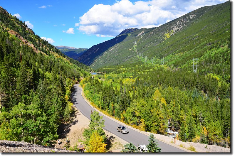
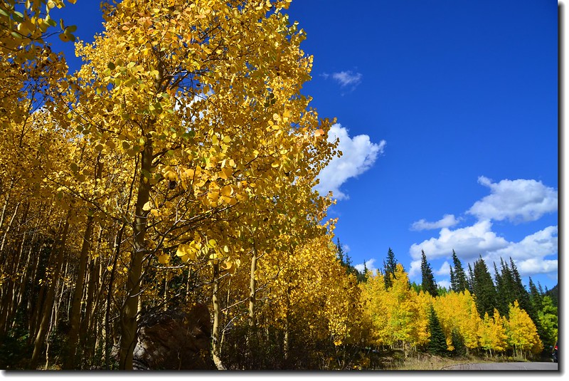
前兩週的科州大水造成數十年來最大災害,導致Rocky Mountain National Park封園迄今,眼看開放遙遙無期,乃利用週六就近爬爬此山,此趟無人跟隨只好獨自一人前往,順道看看Guanella Pass路上白楊木(Aspen)葉子轉黃的狀況。
---------------------------------------------------------------------------------------------
行車資訊:
丹佛沿I-70西行,經Georgetown由Exit 228出口轉Guanella Pass南下,續行約10哩的山路即達Guanella Pass的最高點,此處即為登山口,海拔11,669呎/ 3,557公尺,此段道路一般車輛皆可到達。
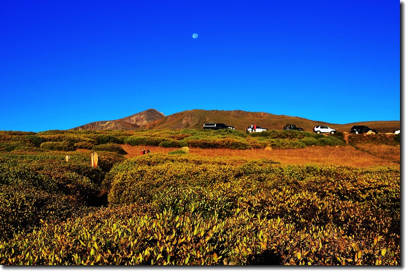
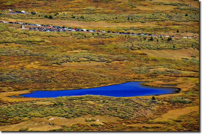
當天我於早晨5點20分左右由女兒家(Thornton)出發,約兩個小時抵達登山口,長長的車陣已溢到停車場外道路兩旁,看來今天山頂可像迓媽祖了!
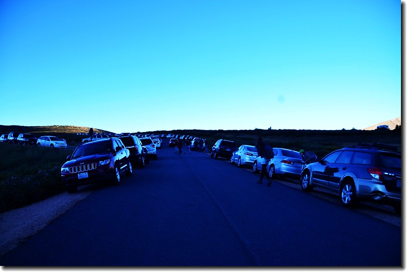
車滿為患的登山口
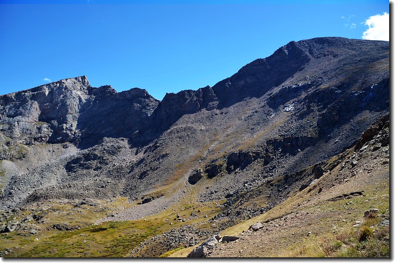
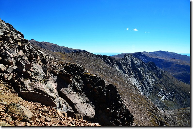
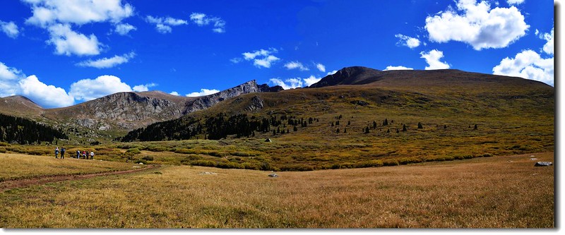
登山口東望Mount Bierstadt(右)、The Sawtooth(左)及連接兩山之間的The Sawtooth Ridge(下山時拍攝)
-----------------------------------------------------------------------------------------------------------
步程簡述:
07:40 登山口出發,海拔11,669呎/3,557公尺。
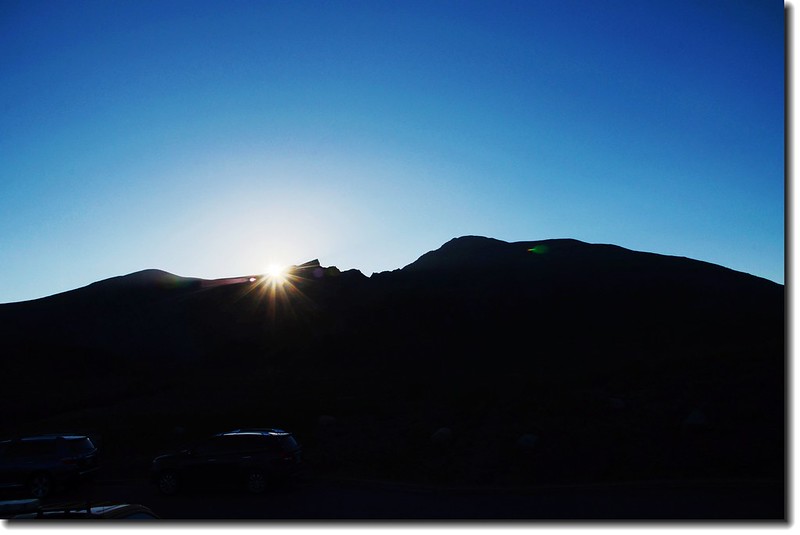
日出 The Sawtooth
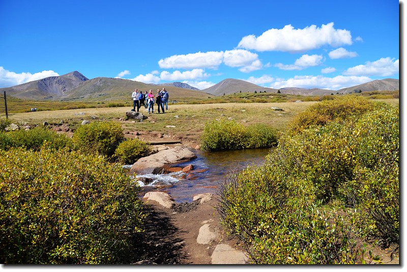
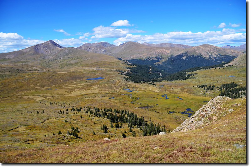
一開始是緩下坡往Scott Gomer Creek沼澤地前進,沼澤地長滿高可及胸的植物--willows,它又不是我們認識的柳樹willows,樹枝茂密堅硬,要是鑽進去要比台灣的箭竹林難惹;沼澤地在低窪的地方鋪有木棧道,走起來蠻方便的。
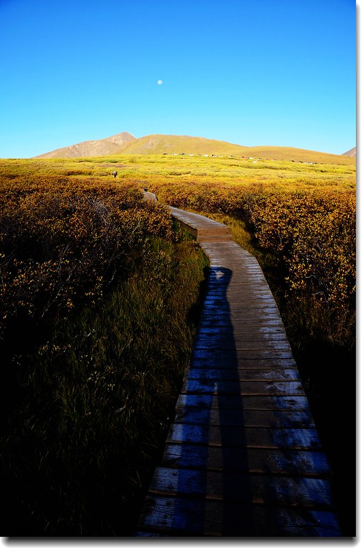
登山步道(木棧道)
登Mount Bierstadt 途中回望登山口
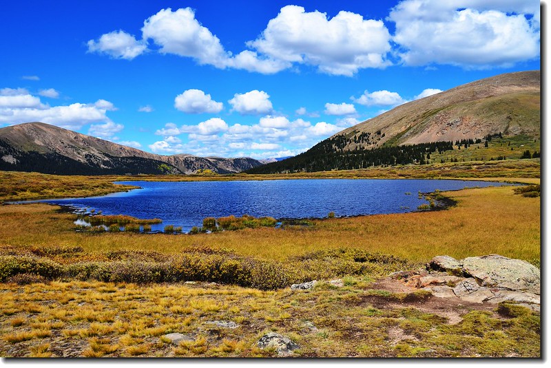
無名小潭
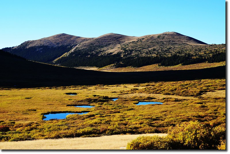
沼澤地小潭
08:00 來到Scott Gomer Creek,踏腳石已遭水淹沒,許多登山客在猶豫著該如何過去,我則毫不猶豫的小心踏石渡過,此地海拔約11,500呎/3,505公尺,距登山口約0.5哩,比登山口下降了一百多呎。
Scott Gomer Creek
過了Scott Gomer Creek不久又進入willows樹叢並開始在Mount Bierstadt西面山坡下“之”字形爬升。
登山途中南望
登Mount Bierstadt 途中回望登山口
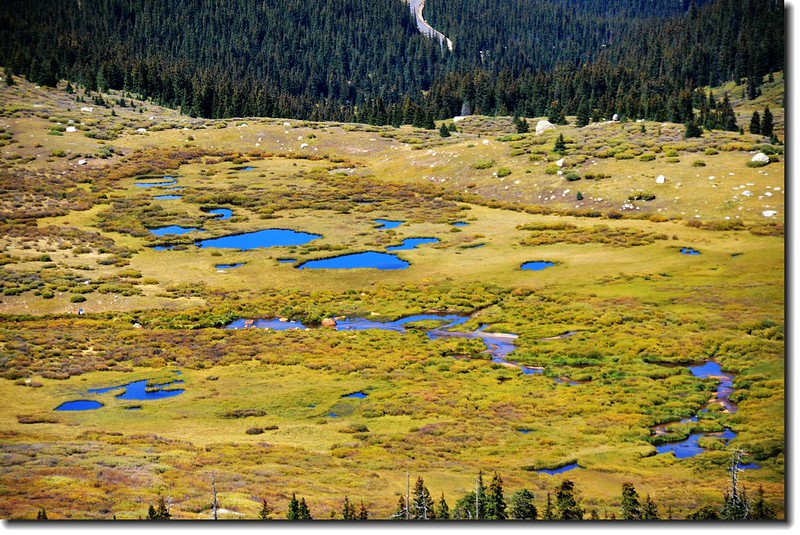
登Mount Bierstadt 途中俯瞰山腳沼澤地
08:36 上到一處小肩稜,海拔約11,800呎/3,597公尺,登山口至此才走一哩左右,由此開始才脫離willows的範圍,步道轉向東北爬升。
登山客
登Mount Bierstadt途中南面展望
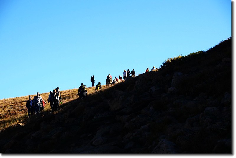
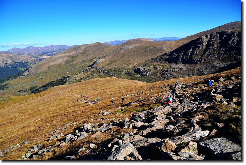
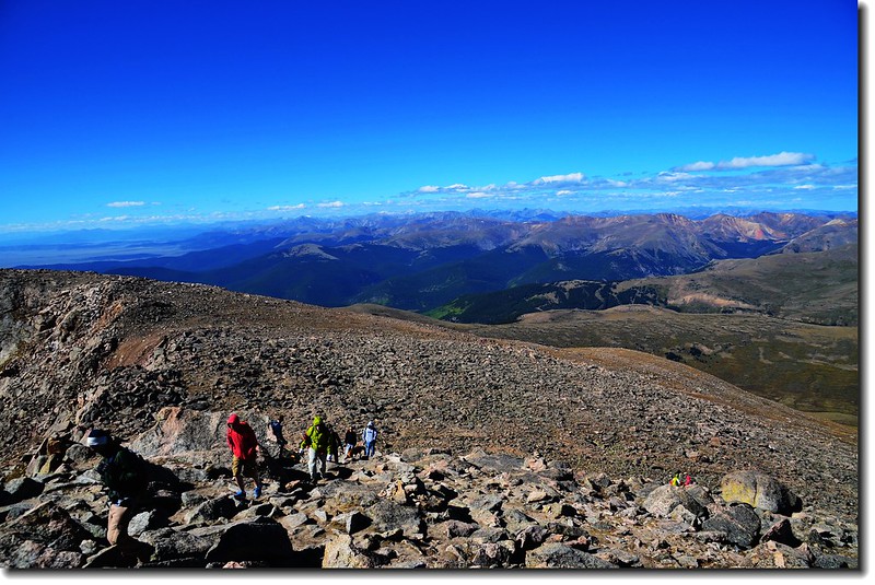
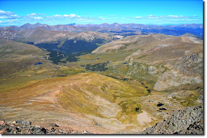
08:47 爬升到北肩稜一平坦處,高度約12,300呎/3,749公尺;此處貼近眺望Bierstadt通往Mount Evans的通道The Sawtooth Ridge更形顯現出其險惡,東望Bierstadt西坡的登山步道登山客如趕集似的,上山、下山串成一條人龍,假日,老美都被趕上山了!
The Sawtooth Ridge from步道肩稜(12,300')-回程拍攝
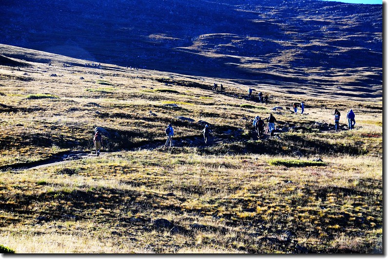
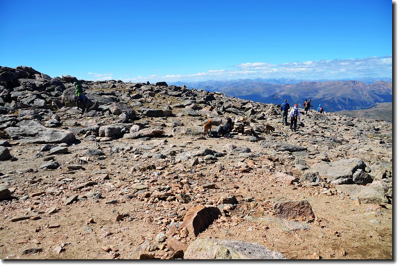
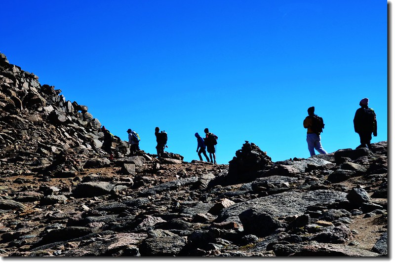
絡繹不絕的登山客
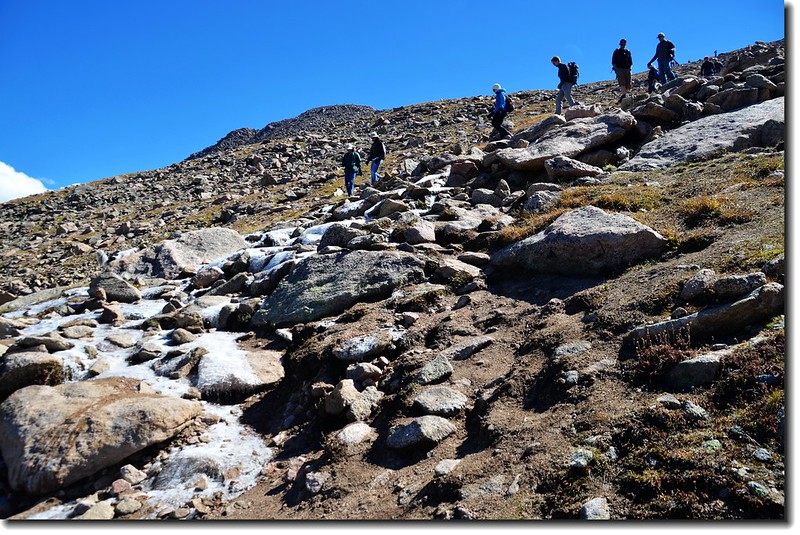
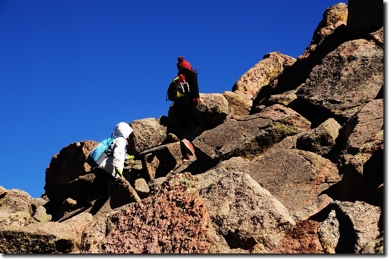
09:20 步道轉為不規則岩石路面,也轉為較陡峭,路面岩石間隙都是結冰,只好靠邊行走,稍不小心一滑跤可不得了。
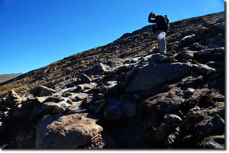
登山步道結冰路段
登山途中望Mount Bierstadt summit
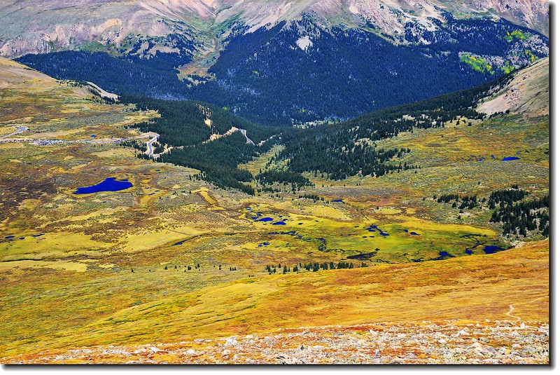
Mount Bierstadt俯瞰登山口方向(Guanella Pass)
回望來時路
登Mount Bierstadt 途中南眺
登山途中望Mount Bierstadt summit
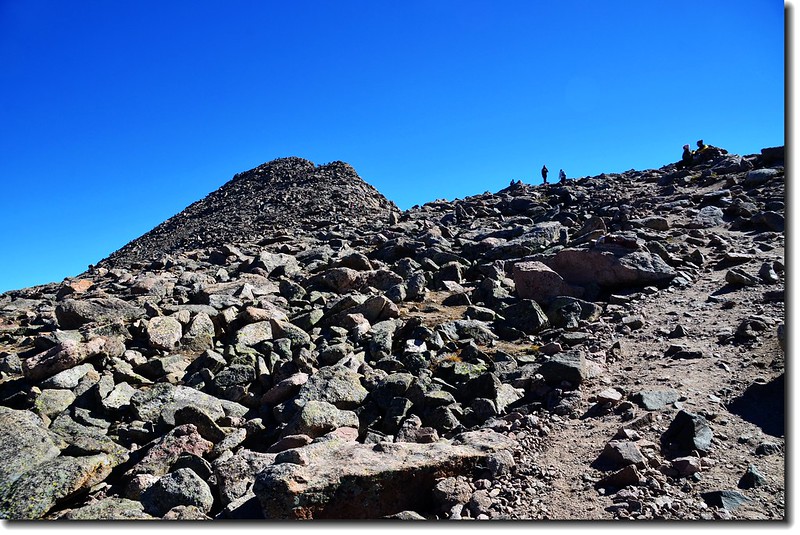
10:25爬升到Bierstadt南稜鞍部,海拔13,800呎/4,206公尺,Bierstadt山頭在正北方,距山頂大約還要爬升270呎/82公尺;登頂路徑上山、下山的登山客絡繹不絕,喘口氣後開始攻頂,此段路路跡較不明顯,反正抓準方向往上登就對了!
Mount Bierstadt南鞍
Mount Bierstadt 南鞍東北望Mount Evans
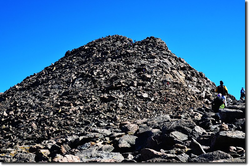
Mount Bierstadt南鞍仰望山頂
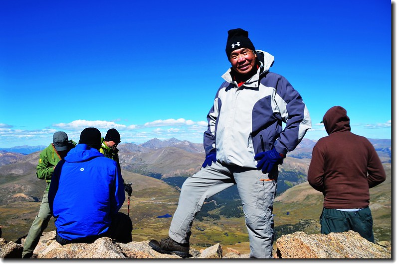
正在攻頂的登山客
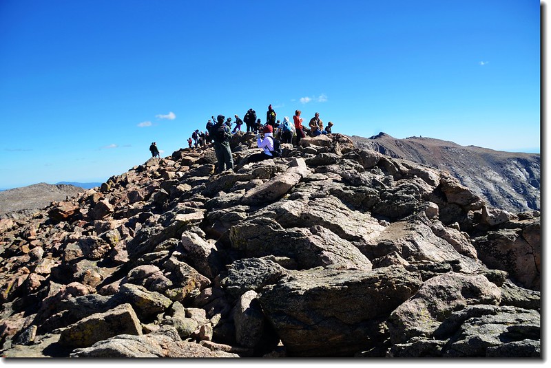
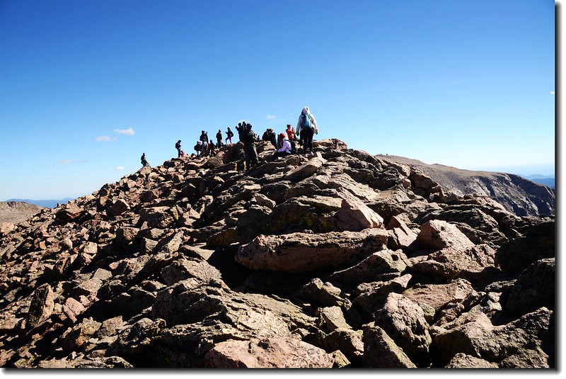
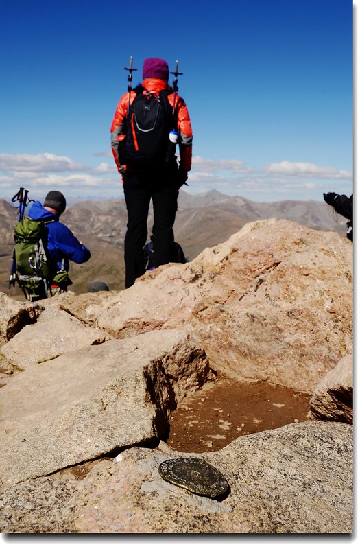
10:50登頂Bierstadt,不出所料,整個山頭都是人潮;Mount Beirstadt海拔14,060 呎/4,285 公尺,由於天氣晴朗,山頂展望良好。
Mount Bierstadt山頂
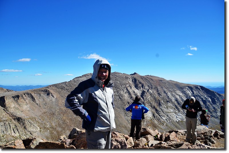
Mount Bierstadt山頂(背景為東北邊的一座14ers--Mount Evans)

Mount Bierstadt山頂(背景雙峰是西邊的另兩座14ers--Grays Peak和Torreys Peak)

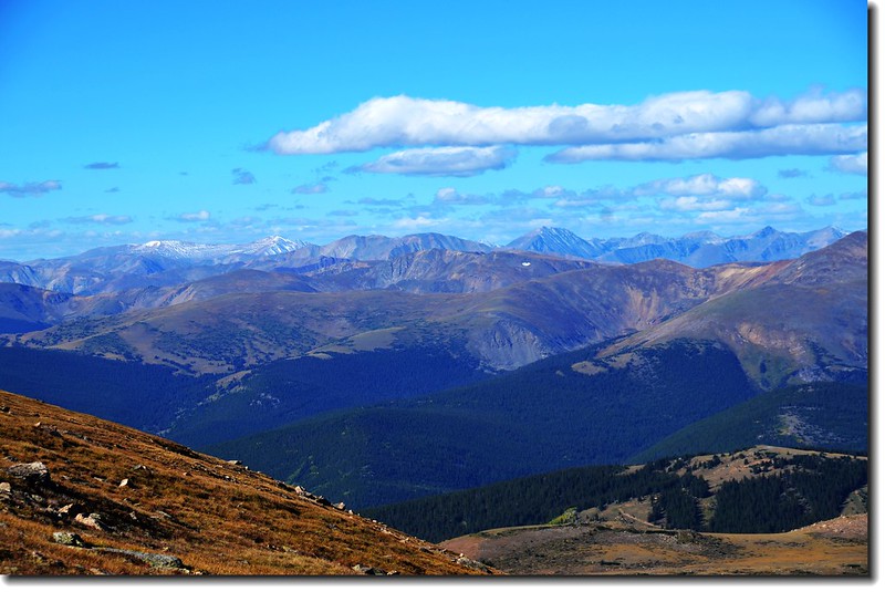
Mount Bierstadt 山頂展望(南、西、北)
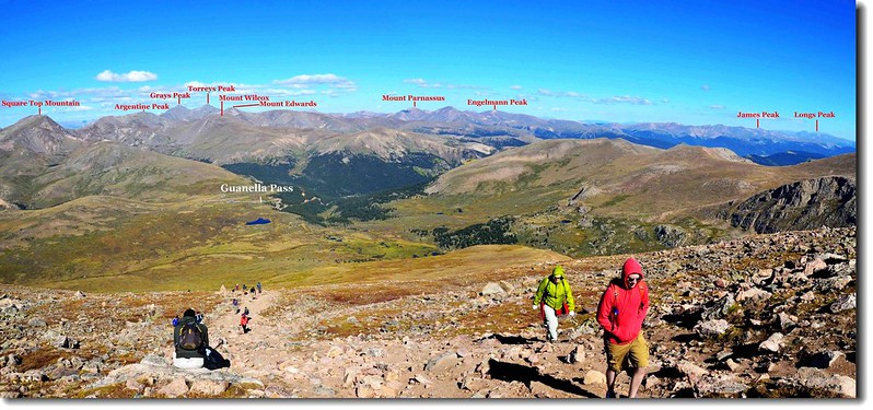
Mount Bierstadt遠眺西、北方向
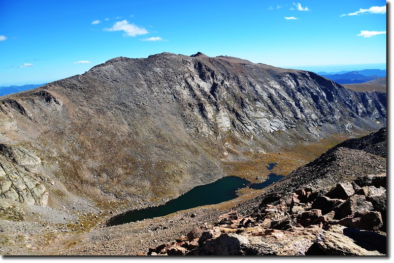
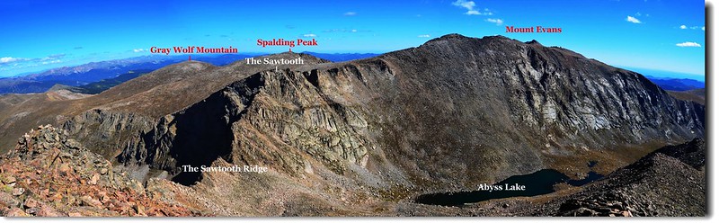
東眺Mount Evans,隔著Abyss Lake 與 Mt Bierstadt 相遙望。
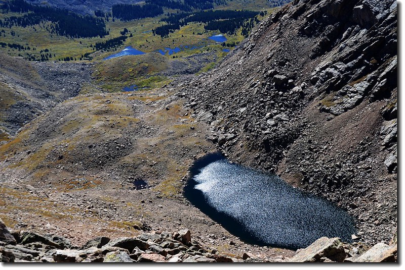
Mount Bierstadt山頂俯向南瞰Frozen Lake
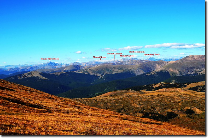
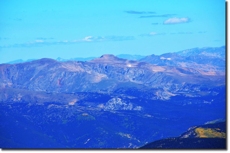
Mount Bierstadt山頂向南可以看到遠在61哩外的另一座14ers-- Pikes Peak(左後最遠一座)。
James Peak(M) from Mount Bierstadt
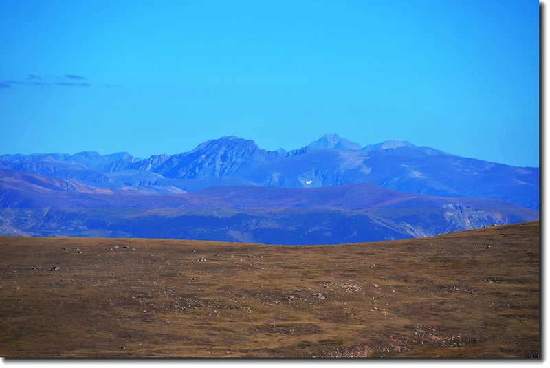
Mount Bierstadt山頂北望洛磯山脈,中央最高一座是另一座14ers-- Longs Peak,距離46哩。
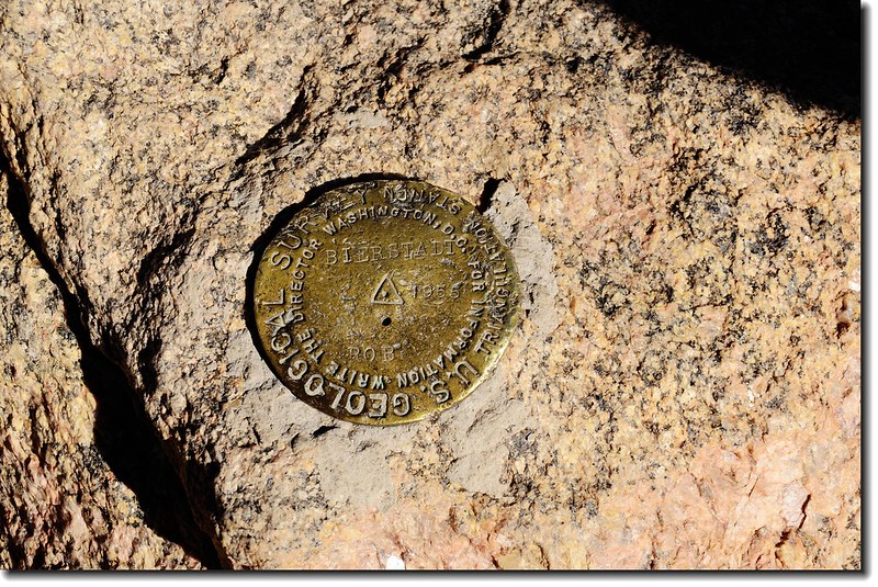
Mount Bierstadt山頂之水準點(Bench-mark ,
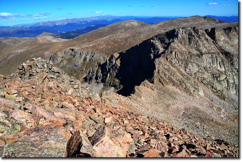
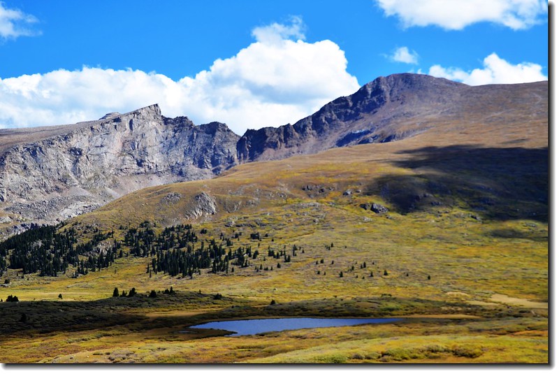
連接Mount Bierstadt和 Mount Evans的山脊稜線Sawtooth. Ridge。
11:15休息25分鐘後下山,今天天氣不錯,打算下山後看看Guanella Pass白楊木的葉況。
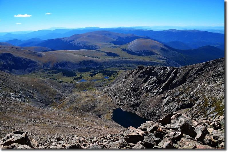
Mount Bierstadt山頂俯瞰南稜
Mount Bierstadt俯瞰登山口方向(Guanella Pass)
11:25 下到南稜鞍部。
12:00 下到北肩稜平坦處,稍作休息後續行。
Mount Bierstadt俯瞰登山口方向(Guanella Pass)
12:48 抵達Scott Gomer Creek,渡河而過後緩升坡回登山口。
下山時回望爬過的Mount Bierstadt( from Scott Gomer Creek)
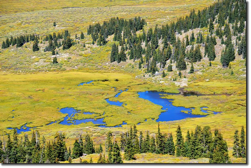
下午的無名小潭
13:20 返抵登山口,整裝後開車下山;沿途白楊木葉況約有三成轉黃,再過幾天將是最佳賞葉時機!