Contilental Divied Trail sign
Stanley Mountain位於Berthoud Pass以西約3.8哩處,一路沿著大陸分水嶺步道(Continental Divide Trail)西行可達;這條由Berthoud Pass Trailhead起登的步道前段先是在森林間緩坡爬升,待出了森林線再攀爬一段陡峭的“之”字形陡坡上抵大陸分水嶺稜線,再走約2.3哩平坦的開闊苔原稜線到達山頂,維護良好的步道和平緩的坡度非常適合家庭親子健行和冬季雪上健行活動。
攀登山頭:
Russell Peak:海拔12,300呎/3,749公尺
Stanley Mountain:海拔12,521呎/3,816公尺
登山口:Berthoud Pass Trailhead,海拔11,307呎/3,446公尺
登山里程:往返約7.6哩/12.23公里
總爬升高度:約1,867呎/569公尺
登山時間:上山2小時48分,全程費時約5小時10分鐘
行車資訊:
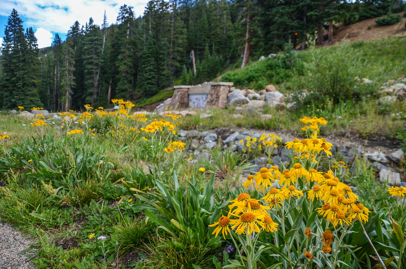
由Golden開車沿I-70西行,行至I-70里程232哩時由Exit-232下交流道,然後右轉沿U.S. 40 西行,行約14.5哩抵達道路最高點大陸分水嶺 Berthoud Pass,道路右(東)側有一大型停車場和一座避難和休息用的warming hut,此處為洛磯山脈大陸分水嶺 ,北邊屬於太平洋水系,南邊屬於大西洋水系,此處也是Berthoud Pass登山口,海拔11,307呎/3,446公尺,將車子停在停車場。
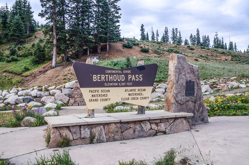
Berthoud Pass sign
步程簡述:
07:55 登山口出發;
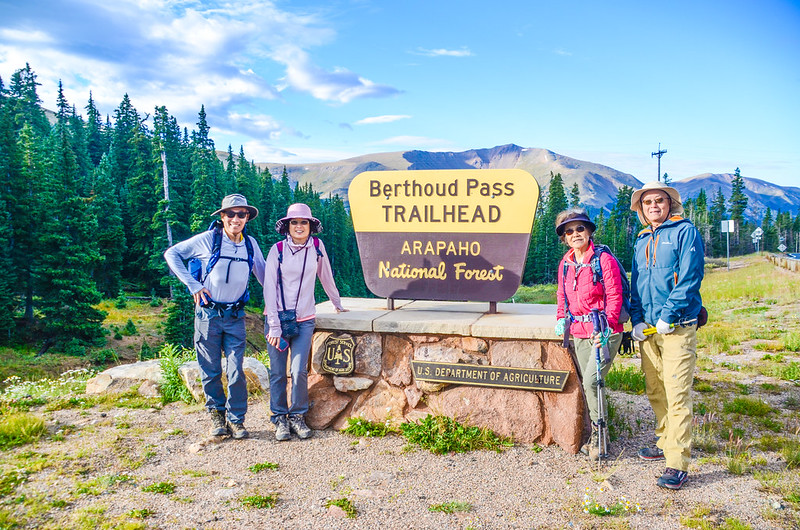

Berthoud Pass Trailhead
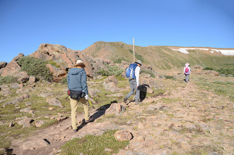
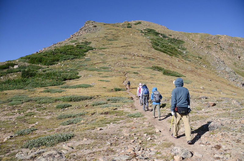
由Berthoud Pass停車場橫越US 40公路到公路西側沿Continental Divide trail (Berthoud Pass West Trail)朝西北上行。
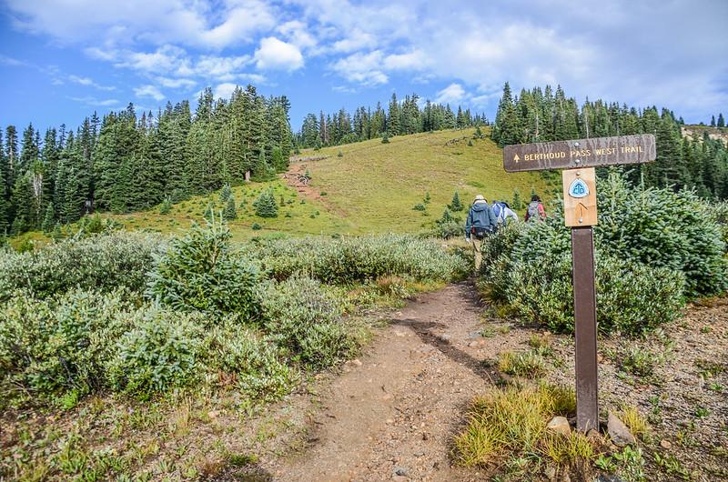
Berthoud Pass West Trail
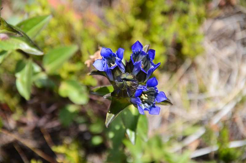
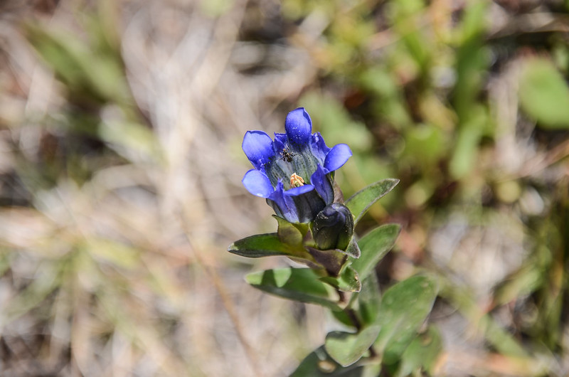
Mountain Bog Gentian
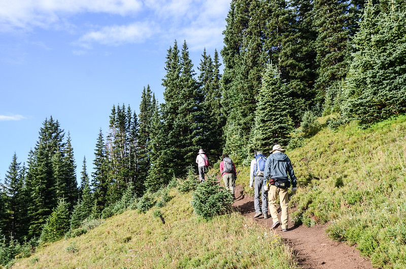
The CDT heads southwest from Berthoud Pass in a patchy subalpine forest before clearing treeline at .85 miles
08:00 上行約0.2哩後步道右側立有一面Vasquez Peak Wilderness解說牌,海拔約11,385呎/3,470公尺,距登山口約0.2哩;

Vasquez Peak Wilderness sign
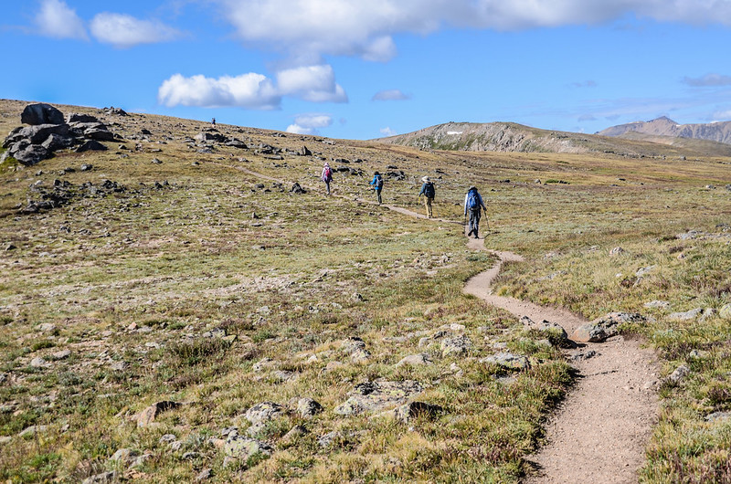
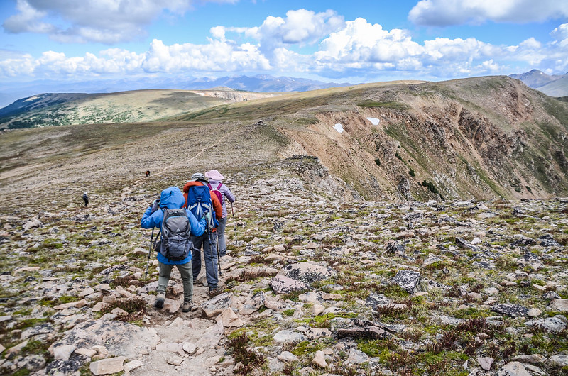
過了解說牌後寬敞的步道沿著西南側山腰在杉林中緩和上升;
Berthoud Pass West Trail
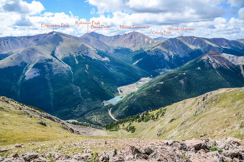
左邊樹縫空隙南眺Engelmann Peak、Mount Parnassus和Woods Mountain等高山,並清楚望見位在Mount Parnassus和Woods Mountain稜線下的盆地。
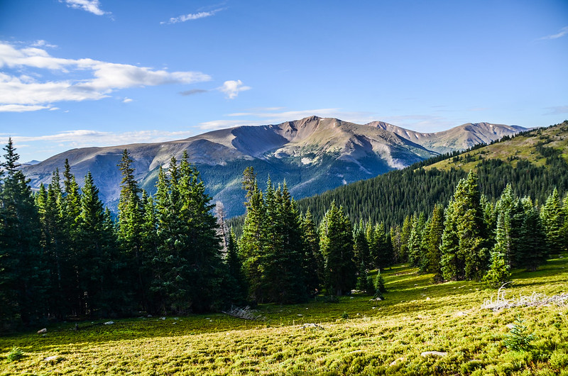
Looking south at mountains from Berthoud Pass West Trail
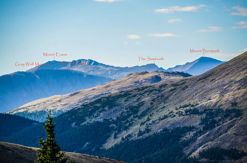
Looking southeast at Mount Evans、Mount Beirstadt from Berthoud Pass West Trail
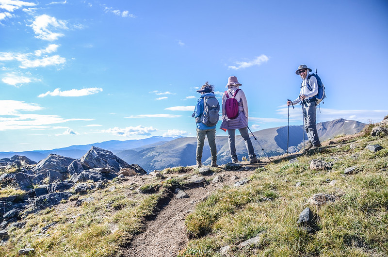
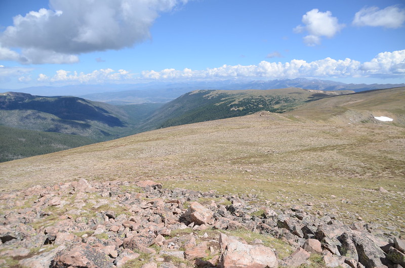
08:42 出森林線抵達大陸分水嶺東端稜線,海拔約11,900呎/3,627公尺,距登山口約0.8哩;
Taken from Berthoud Pass West trail near 11,900 ft
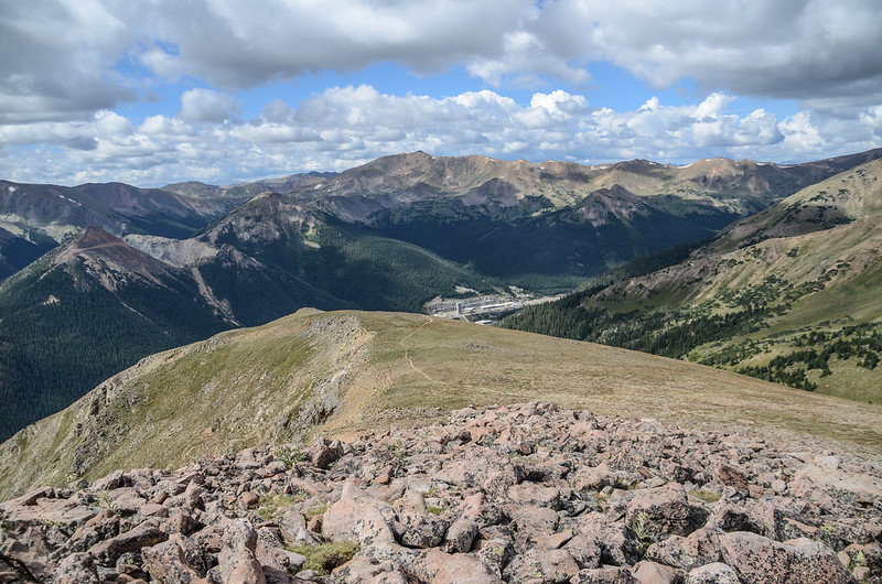
稜線上一座蠻高的石堆(cairns),過了石堆到空曠處有極佳的展望,東北方是Winter Park及遠方的洛磯山脈。
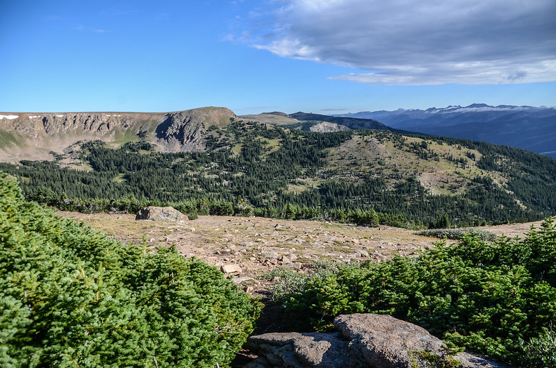
Northeast view over the Current Creek drainage on a level reprieve through treeline
North view toward Rocky Mountains from Berthoud Pass West trail near 11,900 ft
Looking southeast at Mount Evans、Mount Beirstadt from Berthoud Pass West Trail near 11,900 ft.
Berthoud Pass West Trail
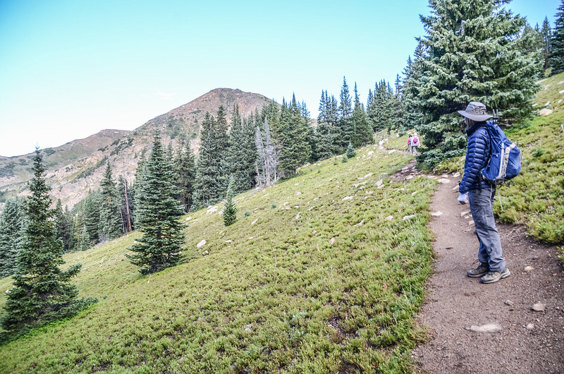
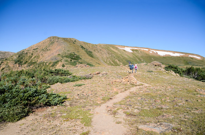
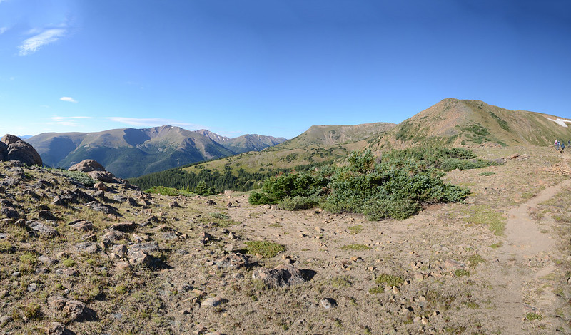
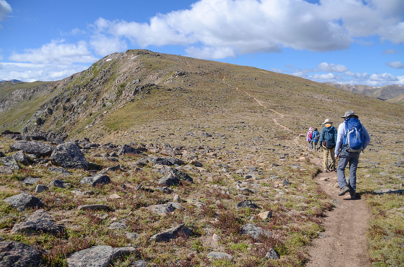
08:49 上到稜線開闊處,Russell Peak矗立在西邊稜線上,沿著Continental Divide trail朝西行。
The trail levels on a high, thin ridge before switchbacks climb steeply to the Vasquez Wilderness Boundary in open tundra
Northeast view over the Current Creek drainage on a level reprieve through treeline

North view over the Current Creek drainage toward Twin Cones & Parsenn Bowl from Berthoud Pass West trail near 11,925'
Southwest view toward mountains from Berthoud Pass West trail near 11,925 ft
Berthoud Pass West Trail
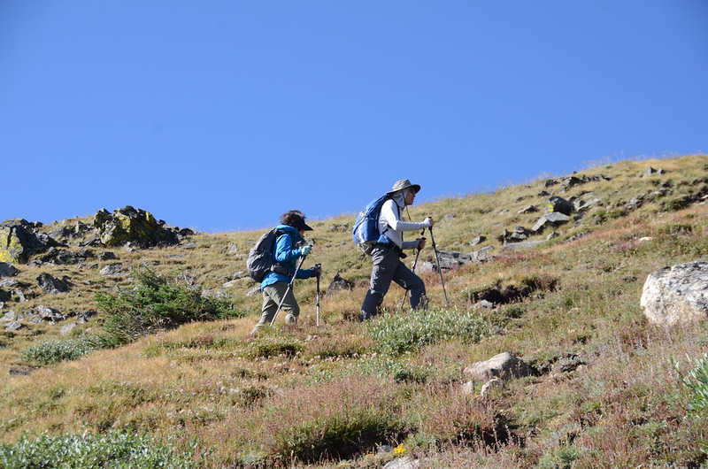
08:58 抵達Russell Peak山腳下,開始“之”字形爬升,海拔約11,969呎 / 3,648公尺,距登山口約1.2哩。
Up to Russell Peak on the Berthoud Pass West Trail
North view over the Current Creek drainage toward Rocky Mountainsl from Berthoud Pass West trail near 11,970'
Looking back toward Mount Eva etc. ridge from the way up to Russell Peak
Up to Russell Peak on the Berthoud Pass West Trail
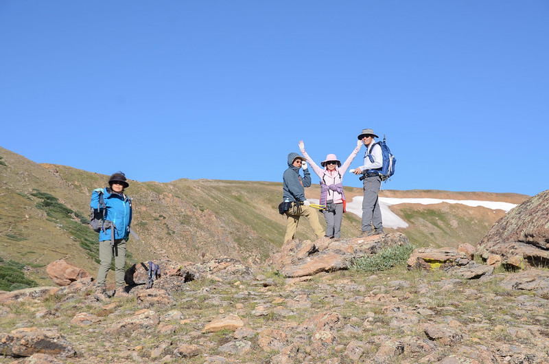
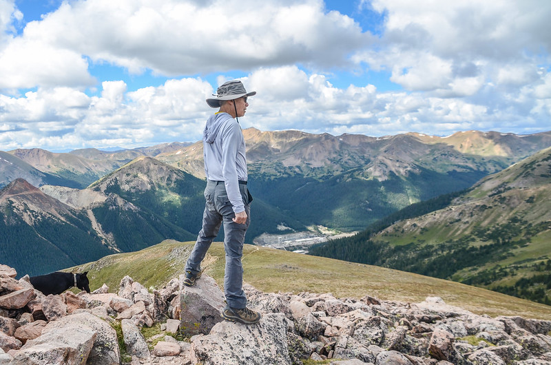
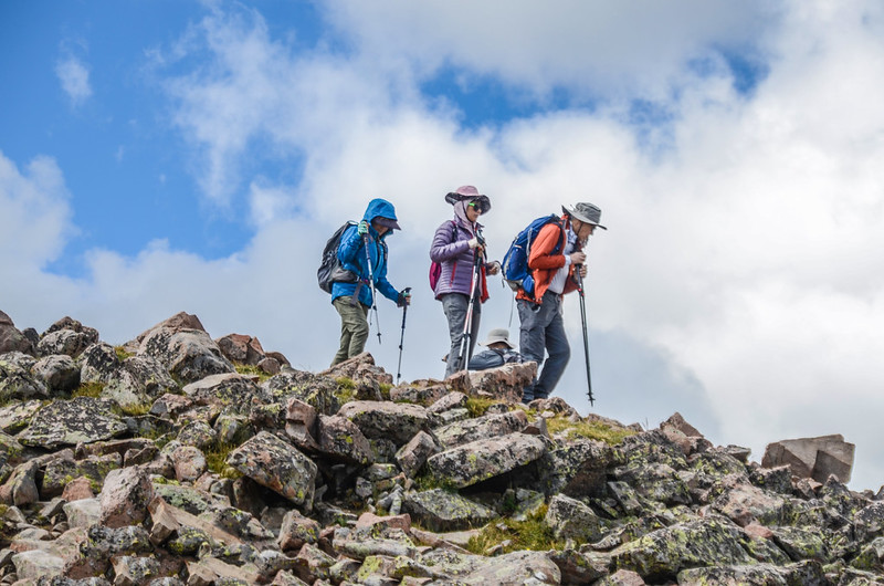
09:21 登頂Russell Peak,海拔約12,300呎/ 3,749公尺,距登山口約1.5哩;

On the summit of Russell Peak
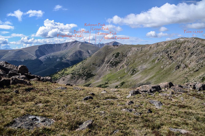
山頂有360度的展望;
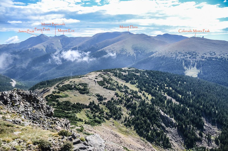
Northeast view toward James Peak~Colorado Mines Peak ridge from Russell Peak Top

Southwest view toward Mount Parnassus & Bard Peak etc. from Russell Peak summit
Looking southwest at mountains & unamed pond from Continental Divide Trail
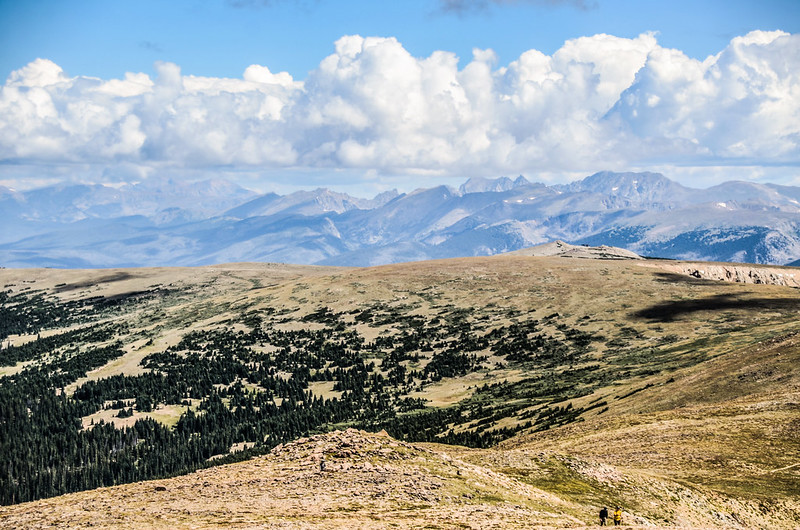
離開Russell Peak山頂後續沿步道朝西北緩坡爬升。

Southwest view toward Stanley Mountain & Vasquez Peak from Point 12,391 ft
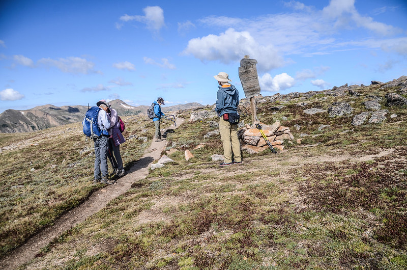
09:37 抵達一高點~Point 12,391 ft.,高點上立有一根Vasquez Peak Wilderness木製界牌,海拔約12,391呎/3,777公尺,距登山口約1.8哩;
Taken from the Point 12,391 ft on the Continental Divide
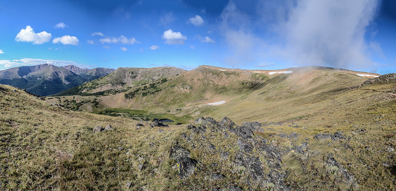
高點南面山坡下有幾個小水潭湊成的小湖群,湛藍的湖水由高往下望異常的美麗。

Looking southwest at mountains & unamed pond from Continental Divide Trail
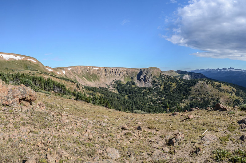
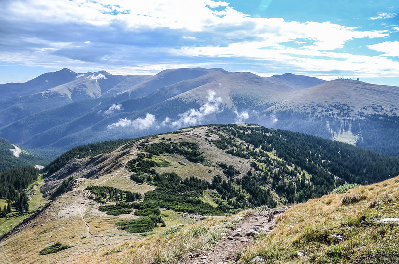
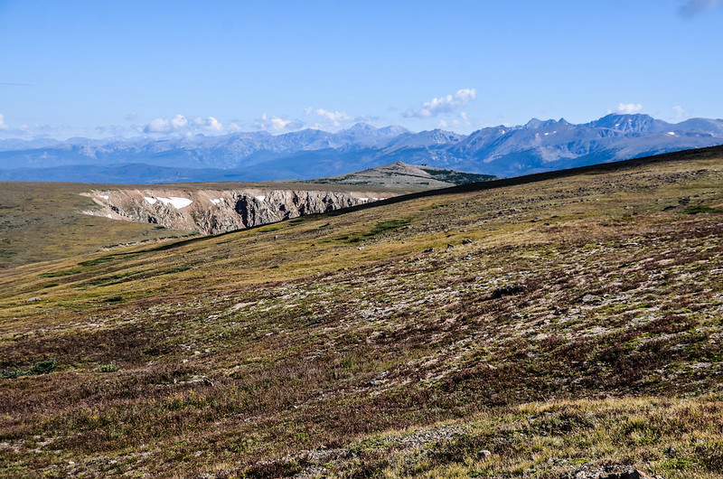
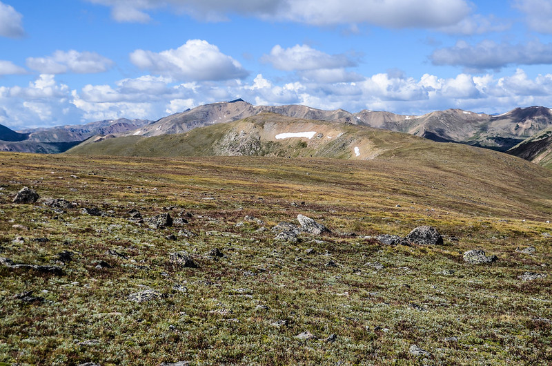
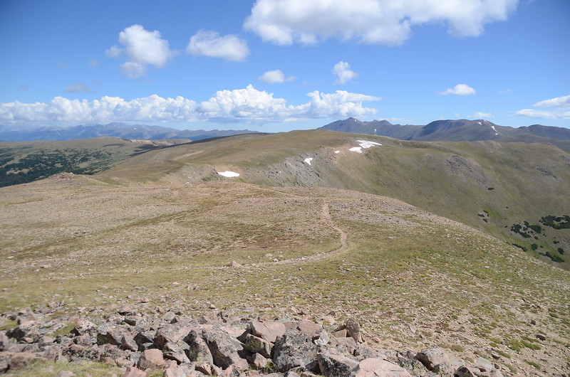
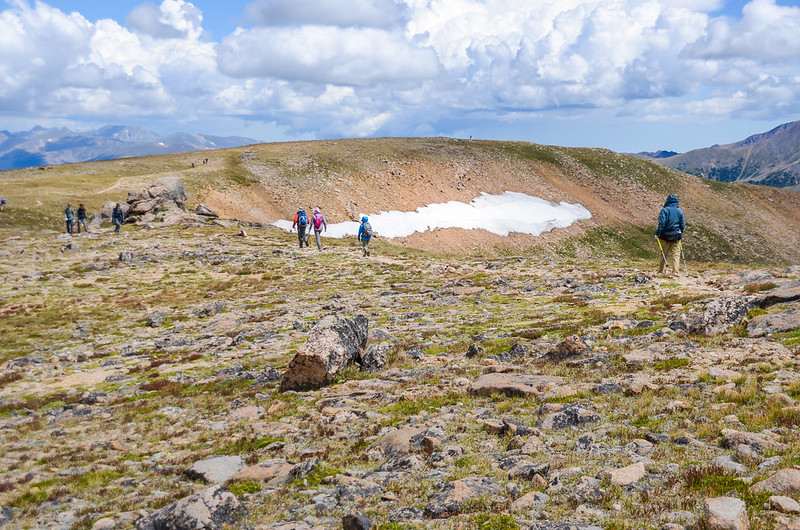
過了Point 12,391 ft.後Continental Divide trail轉為Mount Nystrom Trail,步道就在一圈圓弧白雪的稜線朝西南延伸。
On the Mount Nystrom Trail up to Stanley Mountain
09:51 步道由Point 12,410 ft.西北面山腰腰繞而過,距登山口約2.1哩/3.38公里;腰繞過Point 12,410 ft.後步道續朝西南緩坡下行。
Looking northeast at Rocky Mountains from Continental Divide Trail
Looking south at mountains from Continental Divide Trail
09:59 下抵Point 12,410 ft.與Point 12,520 ft.間最低鞍,海拔約12,271呎/3,740公尺,步道開始朝西南方的Point 12,520 ft.山腰爬升;
Mount Nystrom Trail
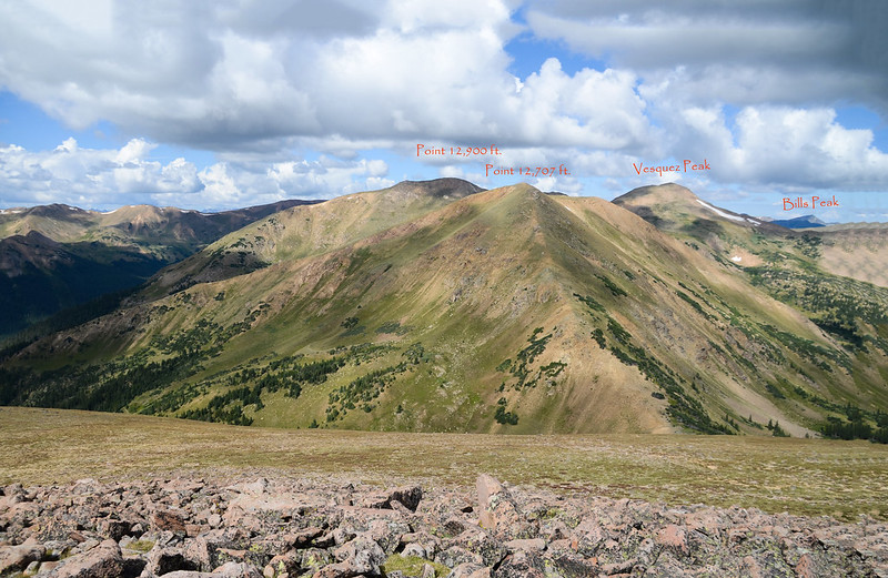
西側遠方尖聳的山頭是海拔3,944公尺的Vasquez Peak,今天要登頂的Stanley Mountain則位在正前(西南)方Point 12,520 ft.斜坡後方稍微突出的小尖山頭。
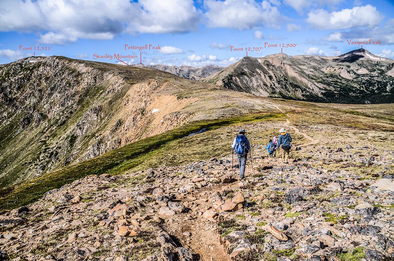
Looking west at mountains from Continental Divide Trail
10:13 步道由Point 12,520 ft.西面山腰腰繞而過,距登山口約2.9哩/4.67公里;
Looking southwest at Stanley Mountain & Pettingell Peak from Mount Nystrom Trail
腰繞過Point 12,520 ft.後下抵Stanley Mountain東北山腳下12,344 ft.鞍,開始朝山頂爬升。
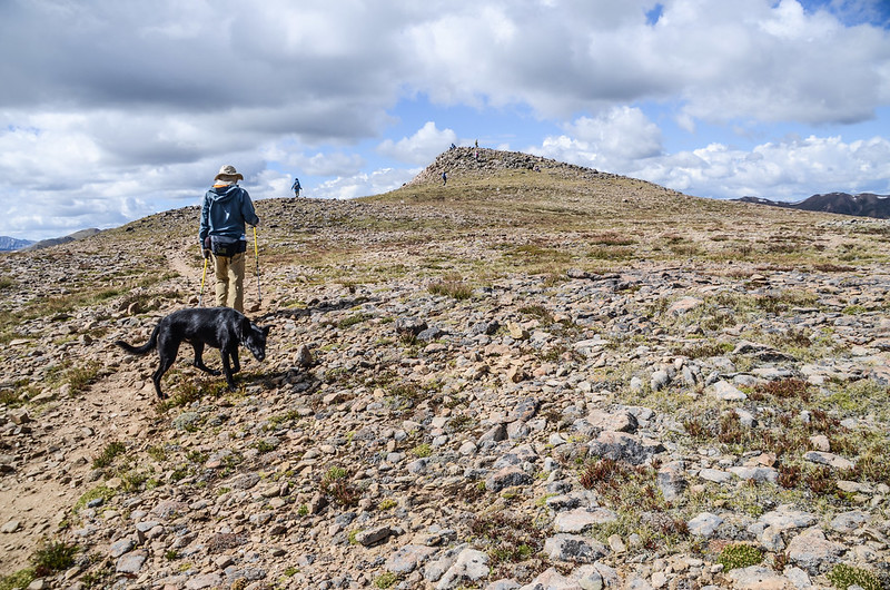
On the way up to Stanley Mountain
10:42 登頂Stanley Mountain,海拔12,521呎/ 3,816公尺,距登山口約3.8哩/6.12公里;
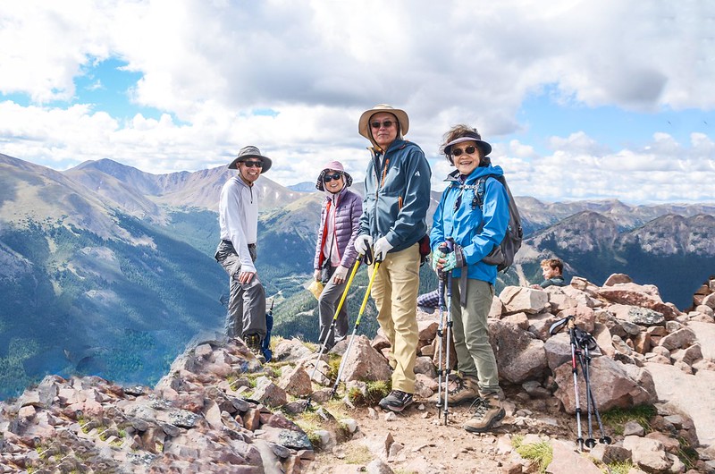
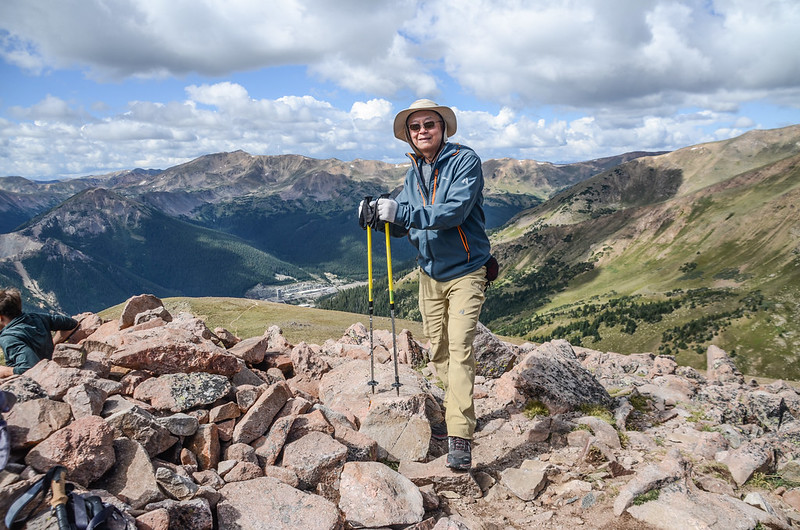
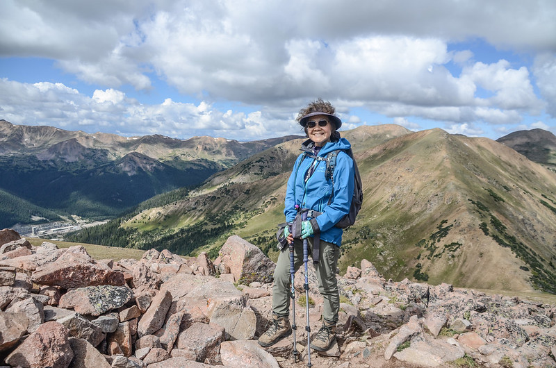
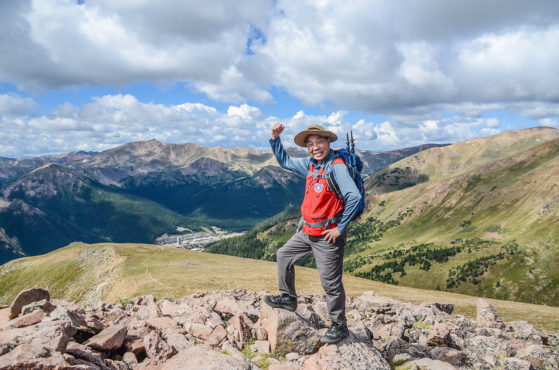
On the summit of Stanley Mountain
山頂是一座突出的岩塊小山頭,有著360度的展望;西南俯瞰由Henderson Mine附近Jones Pass Trailhead登此山的步道,該步道比今天由Berthoud Pass Trailhead來的步道單程距離短約0.6哩,但爬升高度多了三百多呎;
Stanley Mountain view south, the other trail start from Jones Pass Trailhead just below the summit
West view toward Vasquez Peak from the summit of Stanley Mountain
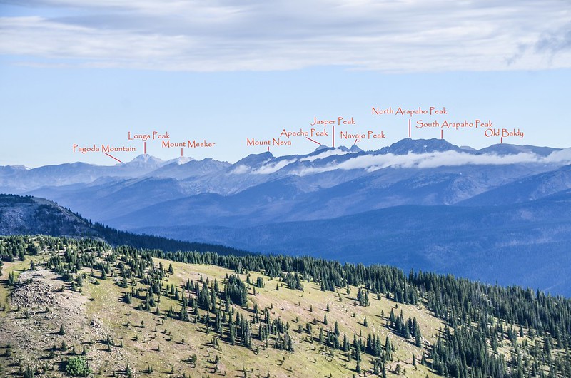
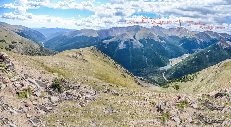
南望Mount Parnassus等幾座13ers高山;
South view toward Mount Parnassus etc. mountains from Stanley Mountain summit
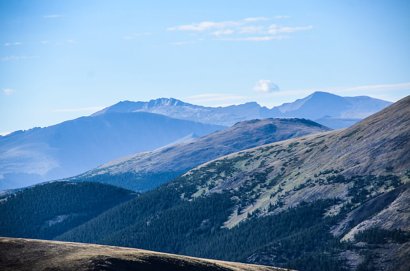
北望Winter Park地區及後面的洛磯山脈;
Northwest view across the Fraser Experimental Forest from the CDT
North view toward Rocky Mountains from Stanley Mountain summit
東邊則遙望James Peak~Colorado Mines Peak連稜。
Northeast view toward James & Indian Peaks Wilderness mountains from Stanley Mountain summit
11:13 在山頂午餐休息後循原路下山。
On the summit of Stanley Mountain
Mount Nystrom Trail
13:05 返抵Berthoud Pass Trailhead停車場開車返家,結束今天的登山行程。
Alltrails:Stanley Mountain Trail via Berthoud Pass Trailhead (2023.08.27)