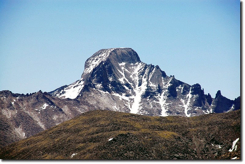
遠眺Mummy Mountain(右,左為Fairchild Mountain)
Mummy Mountain 海拔 13,425呎/4,092公尺,位在落磯山國家公園(Rocky Mountain National Park)北端,隸屬於Mummy Range(Mummy山脈)。該山大約在小鎮Estes Park西北方6哩的地方。Mummy Range(Mummy山脈)橫亙在落磯山國家公園(Rocky Mountain National Park)北端,含括Hagues Peak,Ypsilon Mountain和Mummy Mountain等幾座13ers。要攀登Mummy Range有兩個登山口,一個在Old Fall River Road的Chapin Pass trail,另一個則是位在Old Fall River Road入口處的Lawn lake trail。
2006年7月3日曾偕同子峰(我女婿)、George和Thomas經由Old Fall River Road的Chapin Pass trail攀登Mount Chiquita(海拔 13,069 呎/3983公尺)和Ypsilon Mountain(海拔13,514呎/4119公尺),2007年6月23日自己一人再去攀登Mummy Range東南端的Hagues Peak和Mummy Mountain,此次我採經由Lawn lake trail順便再遊景色宜人的高山湖Lawn lake。
23日清晨5點左右由家中出發,06:45抵小鎮Estes Park,走34號公路由Fall River Entrance Station入園,06:55抵Sheep Lakes附近的Lawn lake trailhead。

Lawn lake trailhead
07:00 整裝後由登山口出發,此登山口已爬過兩次,不陌生。開始是之字形上坡,一路行走在杉林中,偶而沿著左側的Roaring River而行,轟隆隆的流水聲一路相隨。

Roaring River
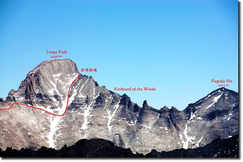
07:43 回望來時路,從樹縫中遙望Longs Peak,山上仍有積雪。

登山步道南眺Longs peak
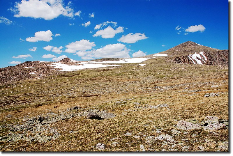
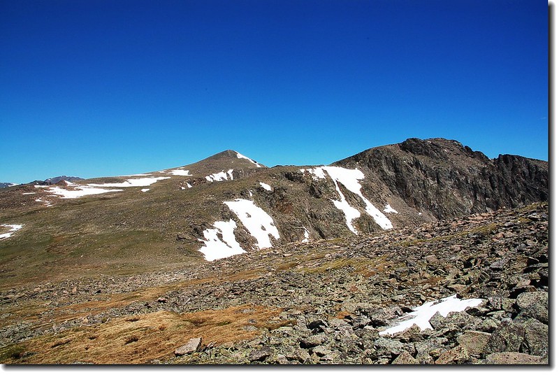
08:20 Mummy Mountain出現在北方山谷中。

Mummy Mountain looming over the Roaring River Valley
09:37 抵Black Canyon trail叉路,取左直行。

Mummy Mountain looming over the Roaring River Valley
09:50 抵Lawn lake,海拔10,987呎/3,349公尺。出水口都是積雪,湖水就從積雪下流出。


積雪的出水口
湛藍的天,碧綠的湖,積雪未退的高山,加上湖岸萬紫千紅的野花,這真是人間仙境呀!

Lawn lake,背景為The Saddle(鞍部),左為Failchild Mt.右為Hagues Peak。


Lawn lake


Lawn lake,背景為The Saddle(鞍部),左為Failchild Mt.右為Hagues Peak。


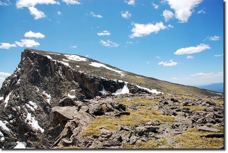
面目猙獰的Mummy Mountain 西南坡(from Lawn lake )
欣賞完美景,沿著湖岸北行,不久又是之字形上坡。

俯瞰Lawn lake
11:07 來到Crystal Lakes的叉路,已穿越森林線,往左是通往Crystal Lakes,去年已來過,今天不前往,取直行上坡。

Crystal Lakes 叉路
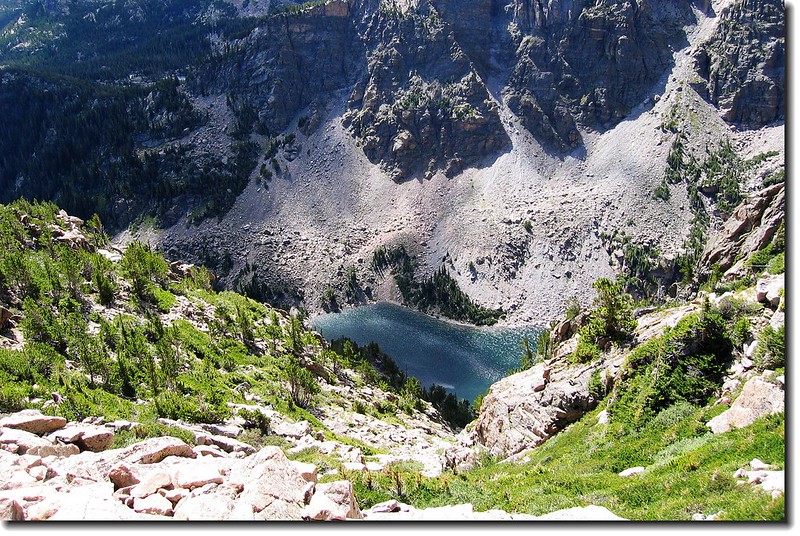
在此回望Lawn lake靜靜躺臥在山谷之中,就像畫家畫筆滴下的湛藍油彩。

Lawn lake as seen from on the saddle midway

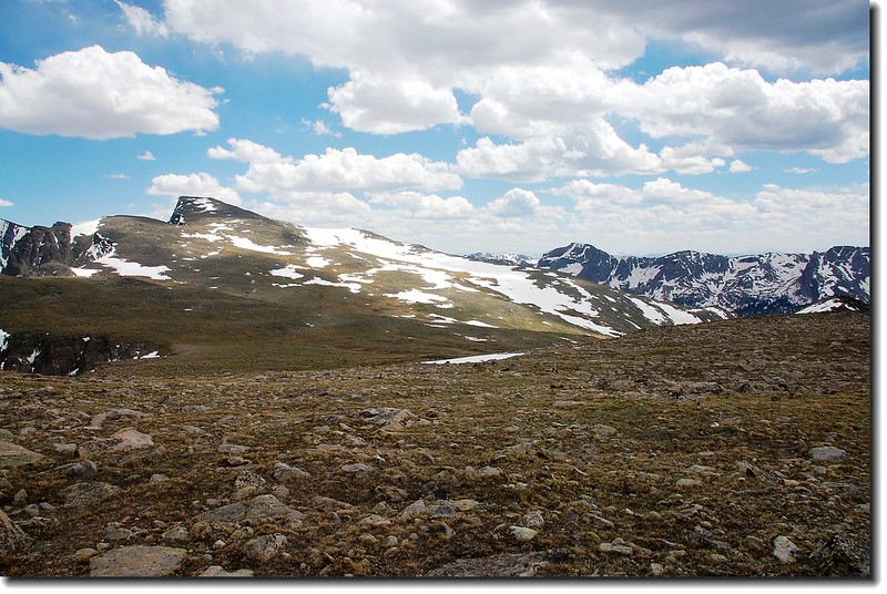
Fairchild Mt. as seen from Mummy Mt. slope
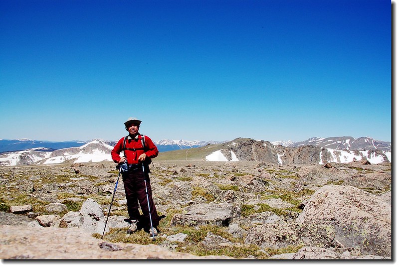
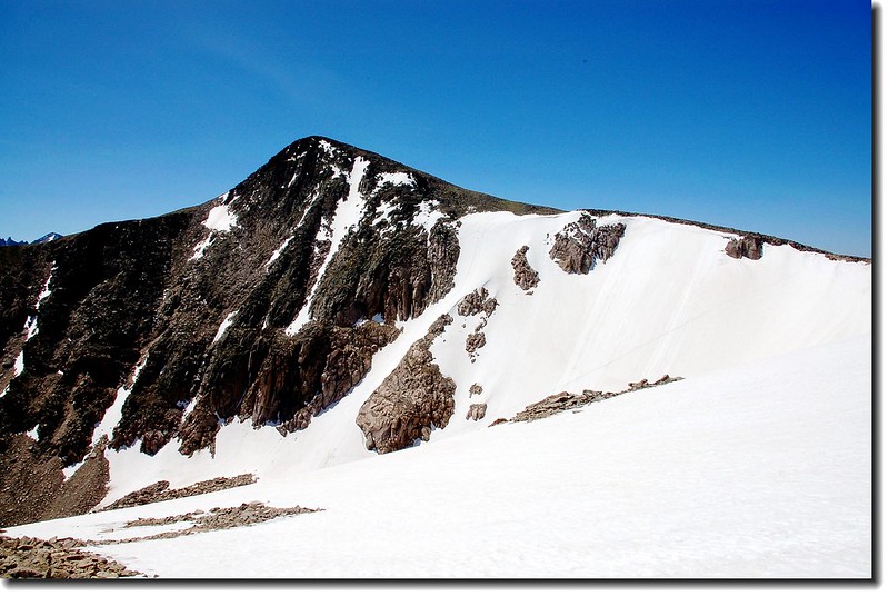
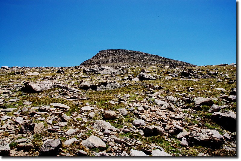
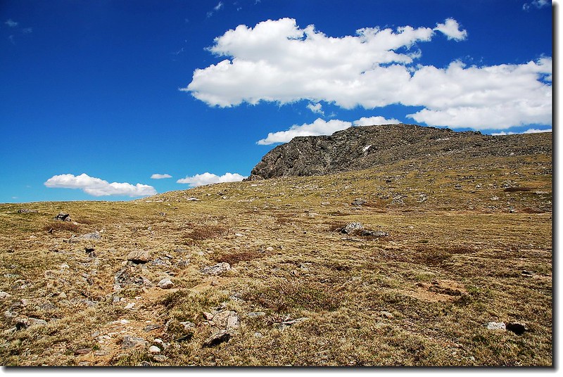
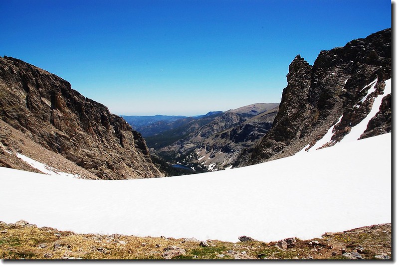
11:20 抵The Saddle和Mummy Mountain的叉路,此地海拔約12,000呎/3658公尺。取右越過小溪開始朝Mummy Mountain攀登,眼前是一大片岩石坡,根本就沒有路徑,只能抓準目標自尋途徑上攀,不時在岩石上攀爬,又加上高海拔空氣稀薄,真累人!

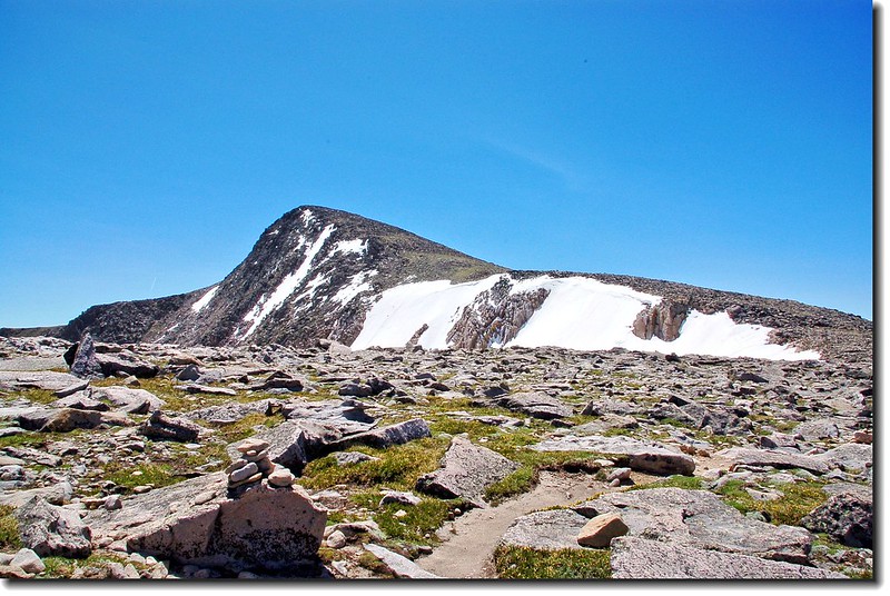
仰望Mummy mt. (from northwest slope )

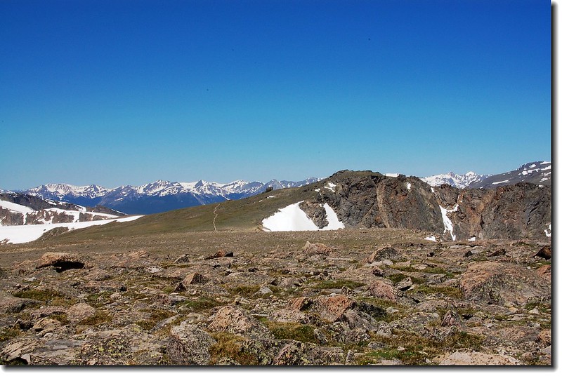
Looking up the broad southeastern slope of Mummy Mountain
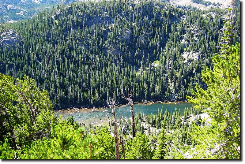
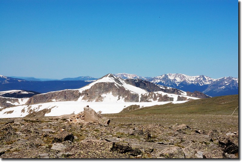
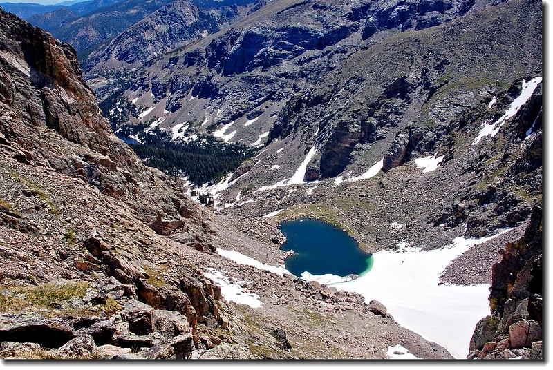
沿途俯看Crystal Lakes就躺臥在Fairchild Mountain的懷抱裡,湖面上尚浮著一層薄冰呢!

Fairchild Mt. as seen from Mummy Mt. slope

Crystal lake
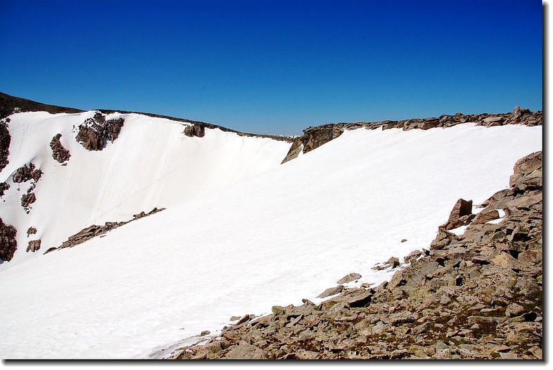
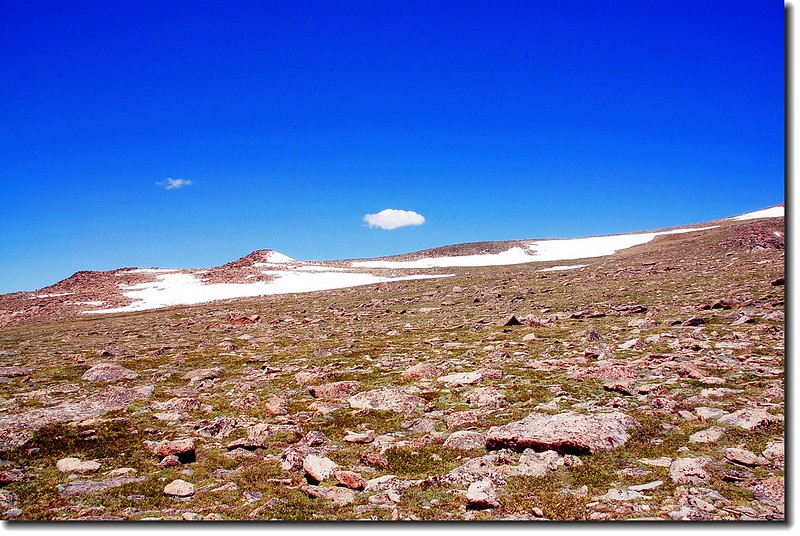
12:30 經過一個小時的奮鬥終於抵達Mummy Mountain和Hagues Peak的鞍部,此地海拔12,920呎/3,938公尺,與其說是鞍部,不如說是一片平原--一大片Boulderfield。

Mount Dunraven as seen looking NE from the Saddle

Mount Dunraven as seen looking NE from the Saddle

Hagues peak as seen from the saddle between Mummy & Hagues


Hagues peak as seen from the saddle between Mummy & Hagues
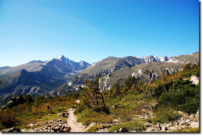
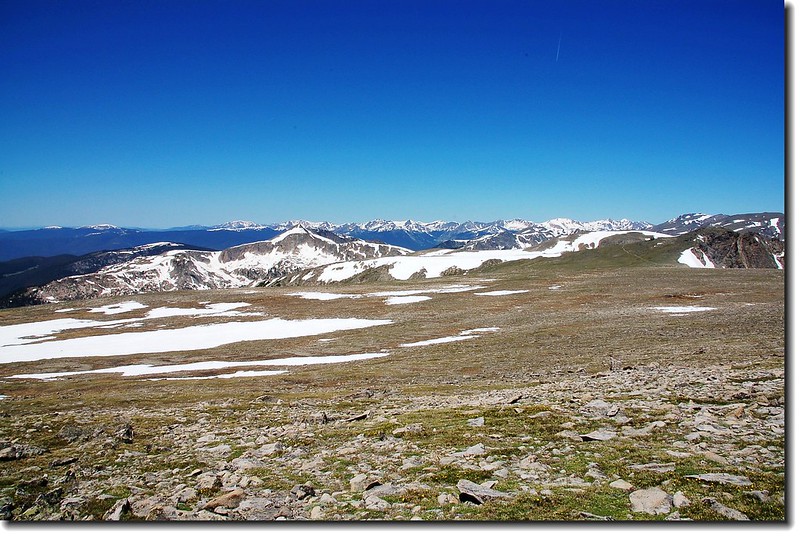
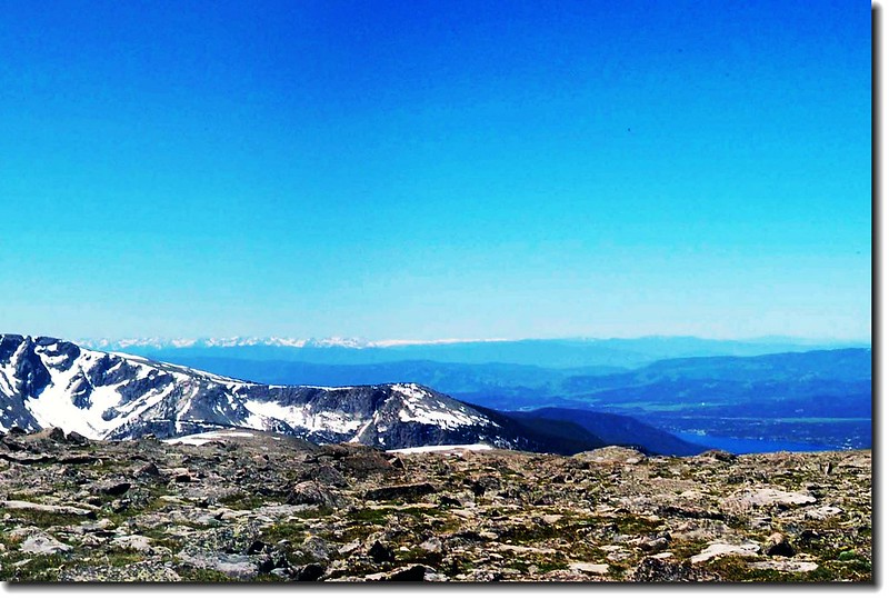
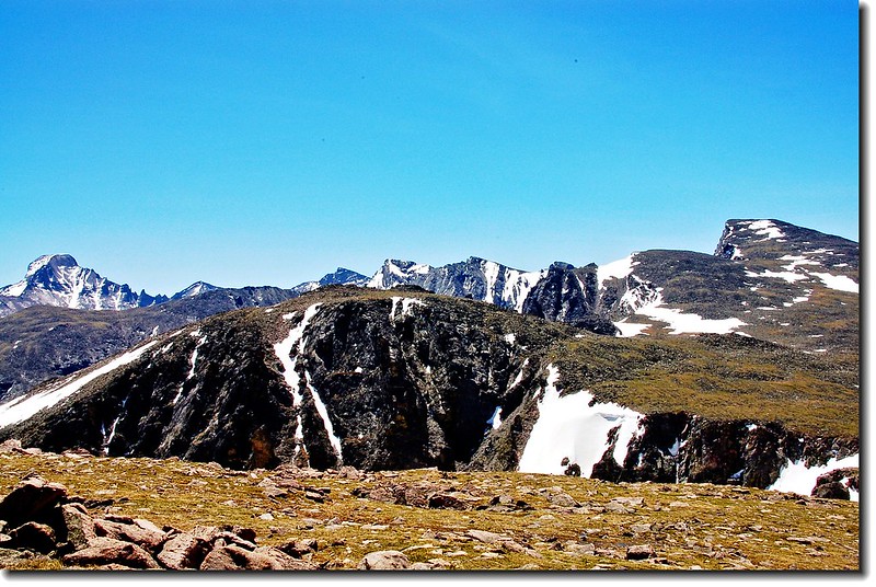
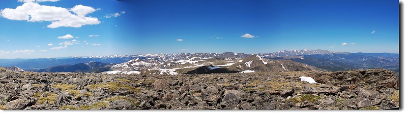
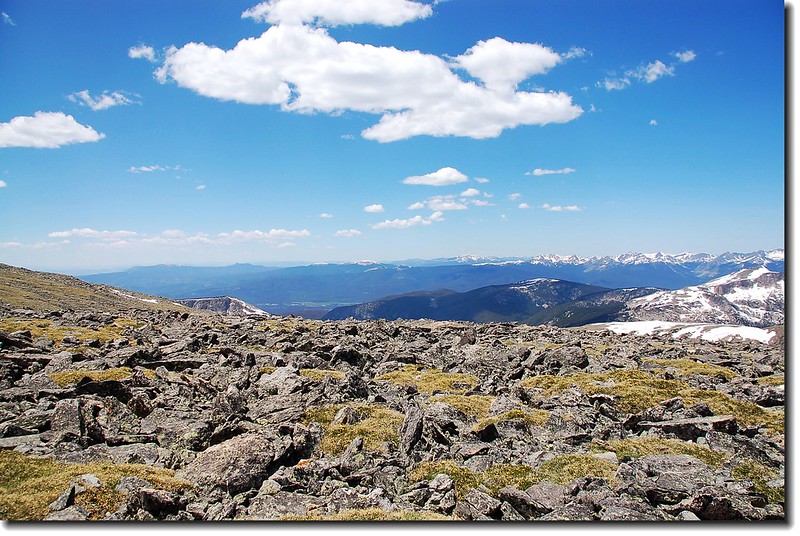
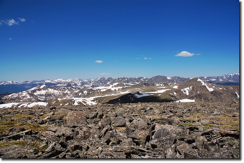
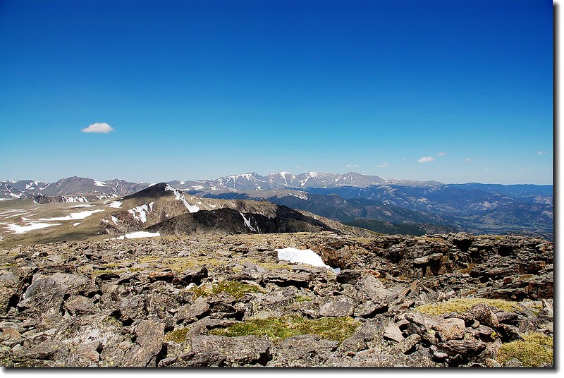
遠方積雪未融的高山,盡收眼底。

Long's Peak and the Continental Divide from the saddle

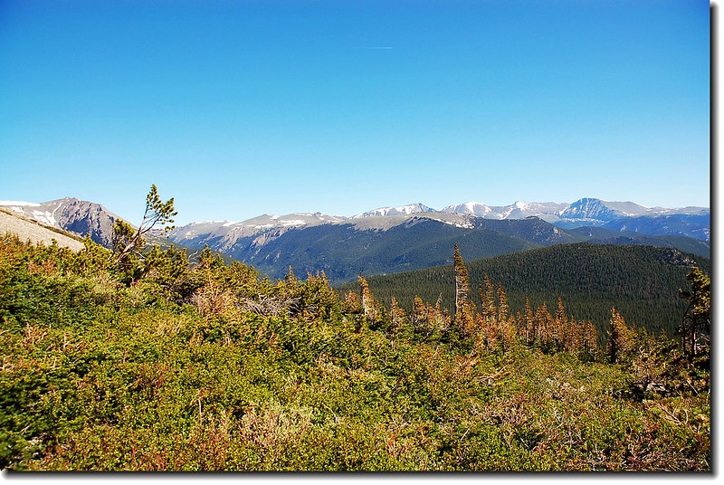
The Continental Divide from the saddle

The Continental Divide from the saddle
繼續朝Mummy Mountain山頂邁進,還有500呎的岩石坡等著我。
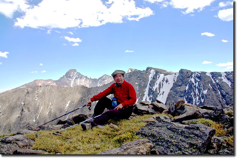
13:00 終於登上Mummy Mountain山頂,海拔13,425呎/4,092公尺。免不了在簽名簿上簽名留念,感言是「Great,Amazing!」

Mummy Mt.'s summit register

Hagues peak as seen from the summit of Mummy

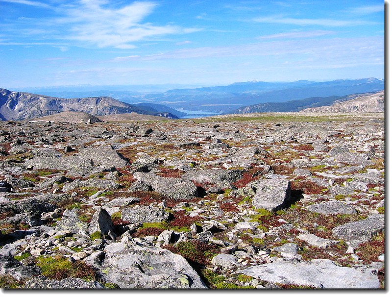
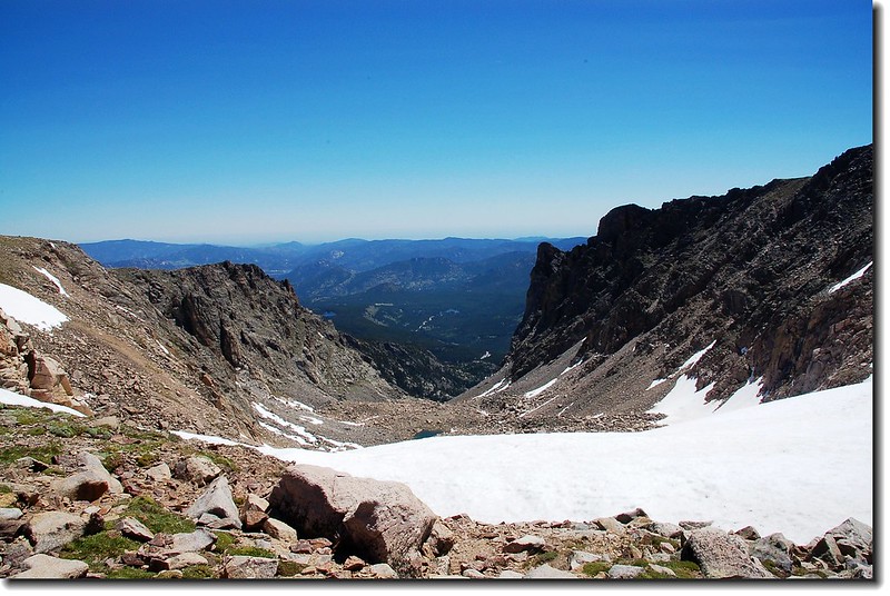
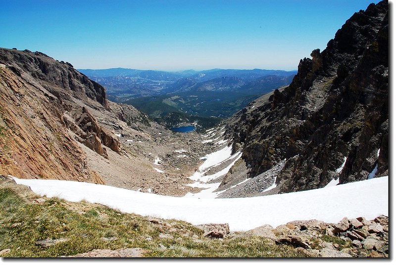
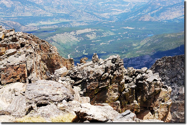
Looking from the summit down to Lawn Lake


Crystal lake as seen from Mummy Mt. summit

The summit of Mummy Mt.(13425 ft,4092 m )

Bighorn Mountain (11,463') seen from Mummy Mountain's summit

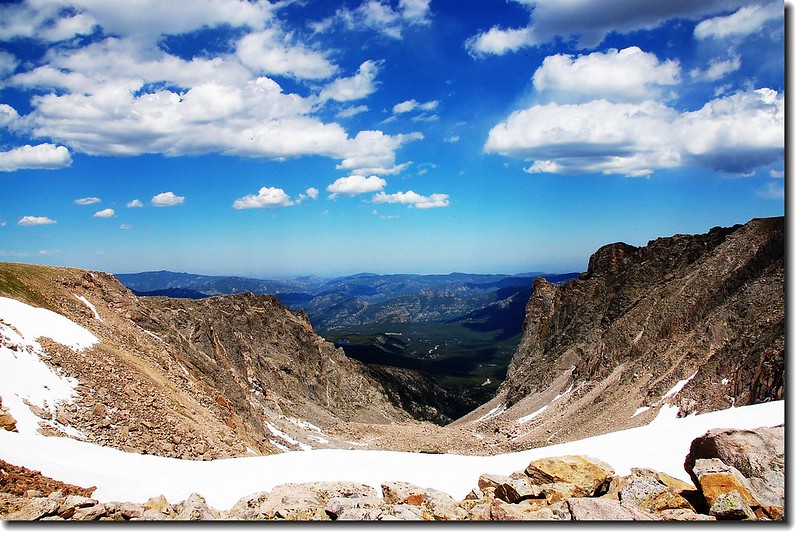
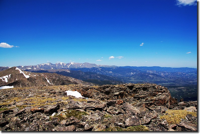
The Continental Divide from the summit of Mummy
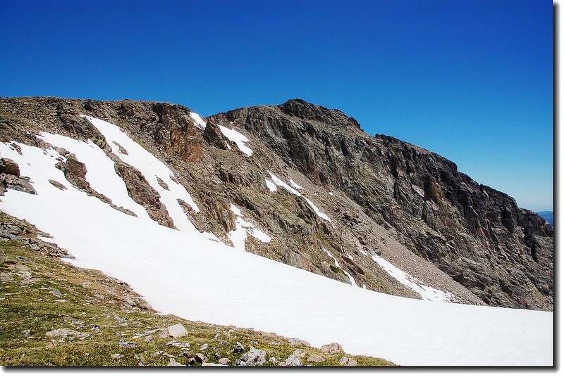
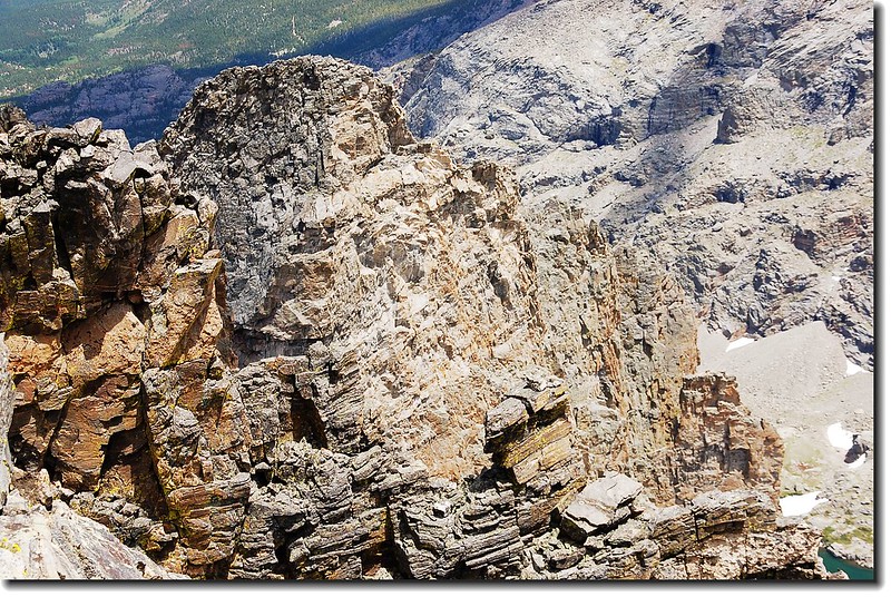
13:25 下山繼續攀爬另一座13ers Hagues Peak。Hagues Peak和Mummy Mountain隔著鞍部南北相望,但Hagues Peak山頂較陡峭難爬。
13:40 下抵鞍部,朝北邊Hagues Peak上攀。

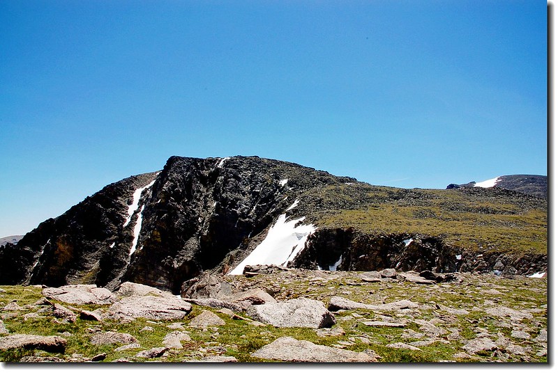
Mummy Mountain seen during the traverse from Hagues Peak
14:40 登頂Hagues Peak,海拔13,560呎/4,133公尺,高山、湖泊一覽無遺。

The summit of Hagues peak(13560 ft,4133 m)


Hagues top

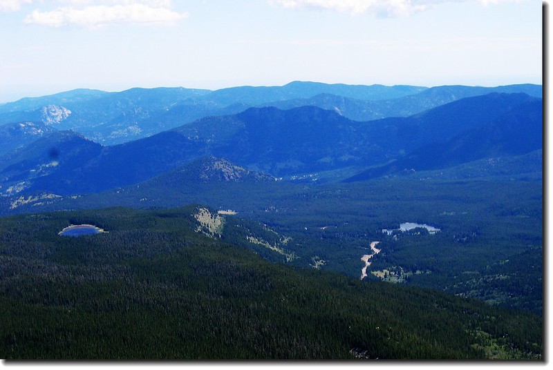
Lawn lake & Crystal lake as seen from Hagues peak summit

Mummy mt. as seen from Hagues peak summit

Mummy mt. as seen from Hagues peak summit
欣賞完美景,循原路下山。

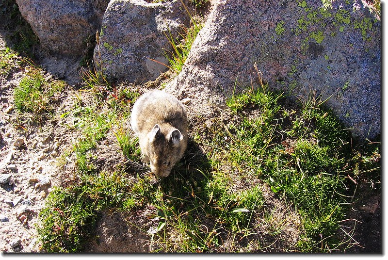
Blue grouse
16:20 抵Lawn lake。
18:40 返抵登山口,總計今日大約走了20哩/32公里,爬升高度約5020呎/1530公尺,費了將近12小時。累了,趕快回家,還有一個半小時的車程呢!