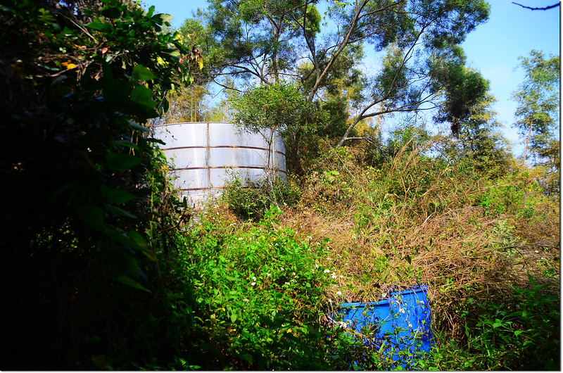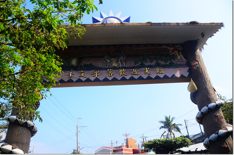
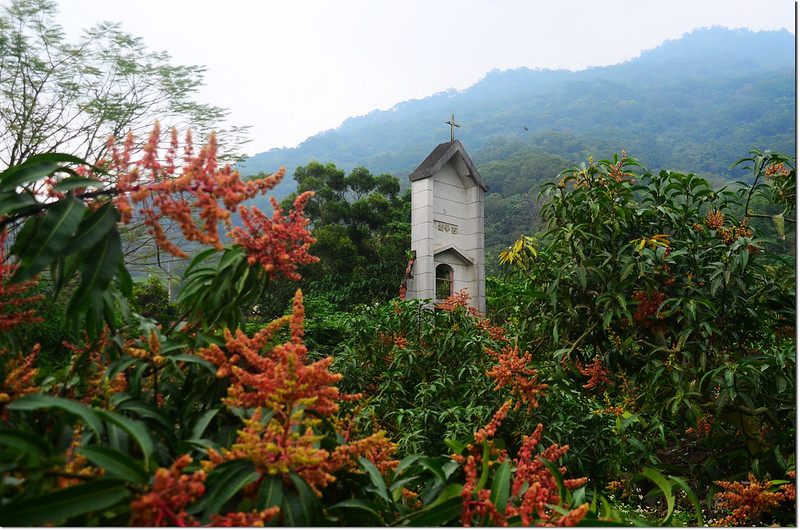
士文部落入口意象
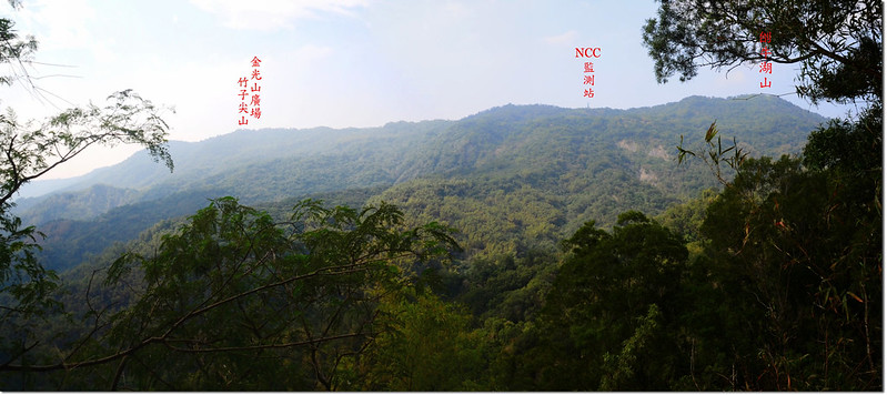
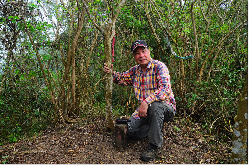
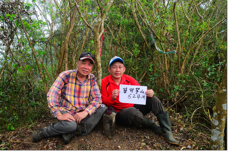
著可芋山位在屏東春日鄉士文部落的北邊,是北湖呂山西稜再往西北延伸下切率芒溪稜尾的一個小山頭,標高647公尺,但基點確立在標高621公尺的主稜線上;此山少人登臨,四五年前張醫師、祥馬、Yiaman等陸續發表登山記錄後較多人去攀登,之後又沈寂了下來;前幾天阿標提起想去此山走走,今天剛好他放假,乃約他一同前往,行程比預期順利許多。
-----------------------------------------------------------------------------------------------------------
攀登山頭:
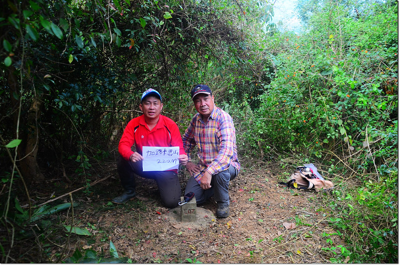
加路卡恩山:標高220公尺,山頂立有一顆水利局士文水庫L07水泥柱,座標213800 2475783;屏東縣春日鄉。
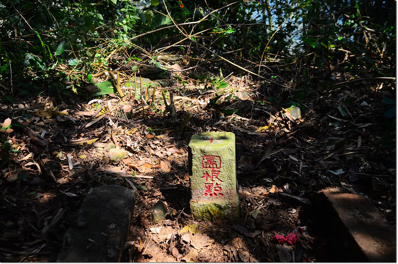
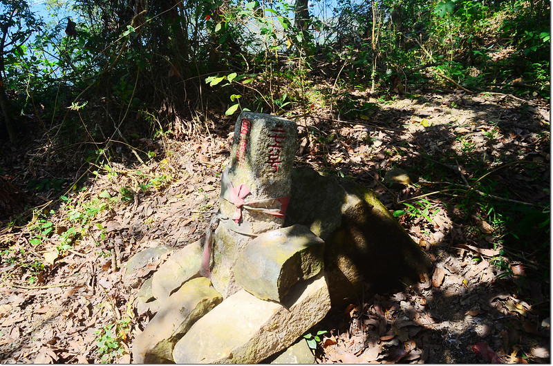
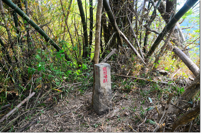
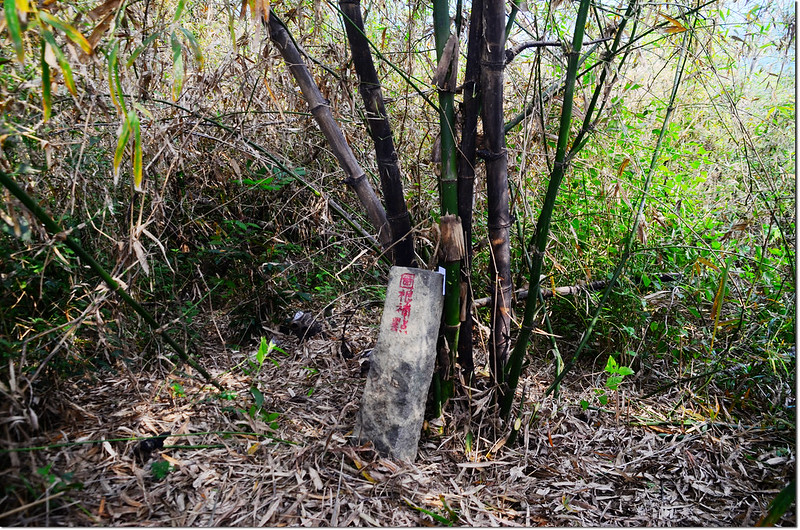
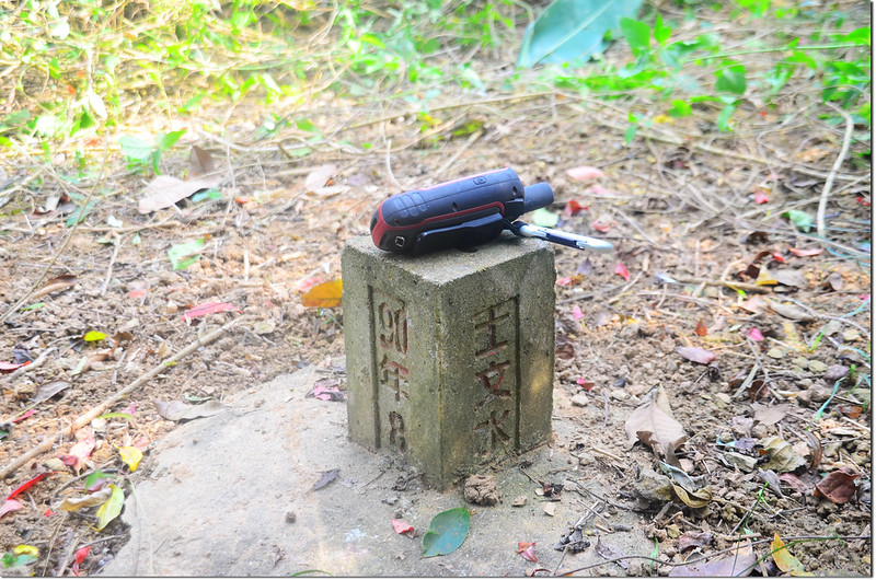
著可芋山:標高647公尺(GPS顯示621公尺),山頂立有一顆台灣省政府圖根補點,座標215333 2476352;屏東縣春日鄉。
登山里程:來回9.8公里
總爬升高度:506公尺
登山時間:4小時20分(含午餐休息35分)
-----------------------------------------------------------------------------------------------------------
行車資訊:
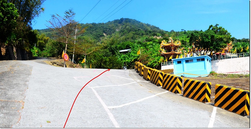
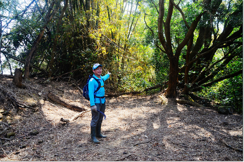
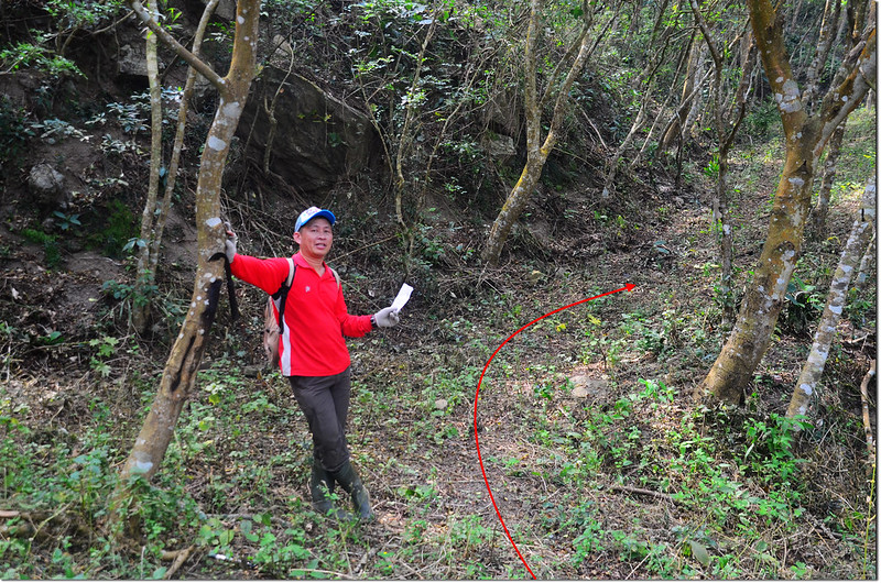
開車由台1線往南,在里程約438.8K左轉屏144鄉道(隆山路)往春日,1.2K後右轉144-1鄉道往古華,行約3.5K後接屏146鄉道續行上山,遇岔路均循往“士文、觀景台、北湖呂山”指標而行;車行約8.5公里至士文部落146鄉道0K右轉往北湖呂山岔路時取直行下坡路,該產道姑稱之為“著可芋山產道”;該產道近期剛整修,全程土泥路面,地面乾燥時高底盤車行車無礙,路面濕滑時自行斟酌;
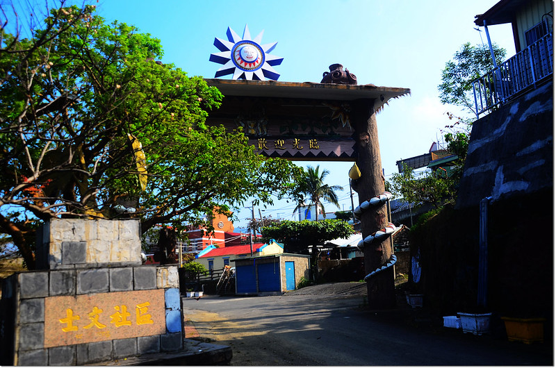
士文部落入口意象
以下里程歸零累計。
0.9K 公墓岔取右下山;
1.7K 加路卡恩山岔路,左往加路卡恩山,右下續往著可芋山;
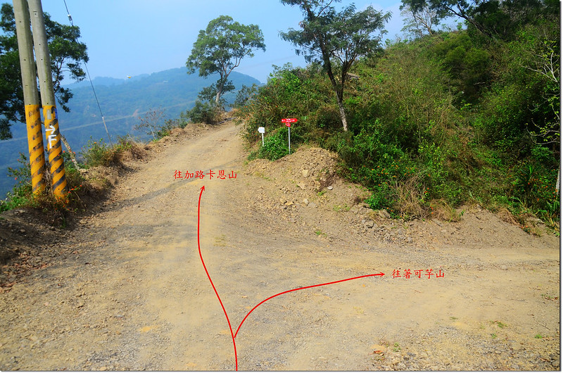
加路卡恩山岔路
2.5K 水泥橋,過橋後左岔不取,取右上山;
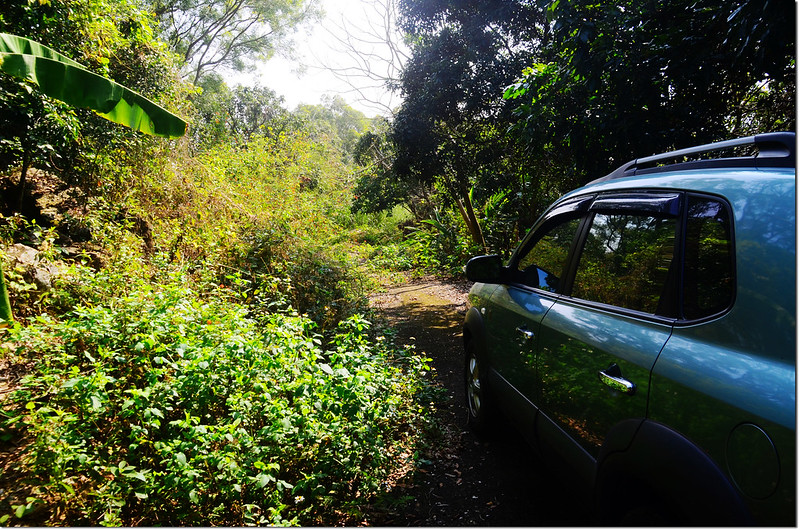
2.9K 果園邊停車,高底盤車仍可續行,因不知前面路況我們將車停此。
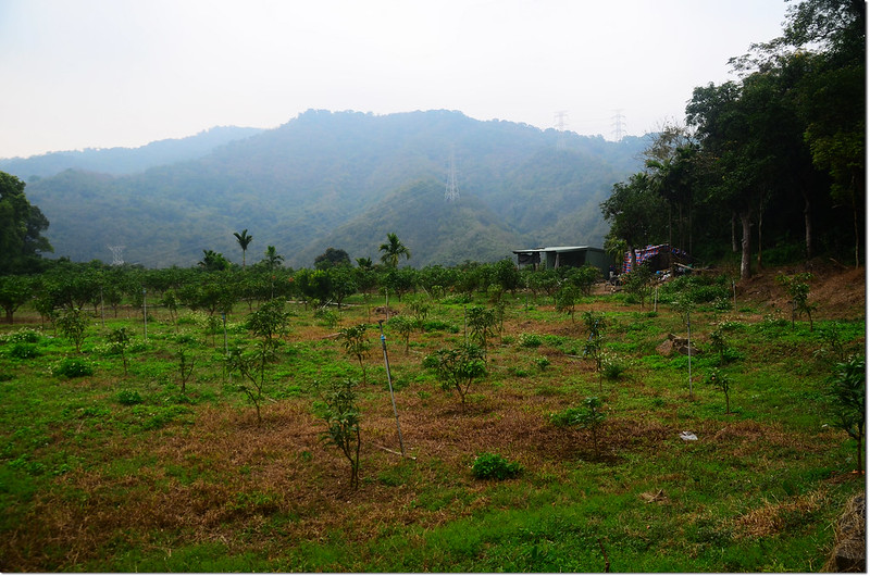
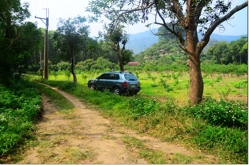
著可芋山停車處
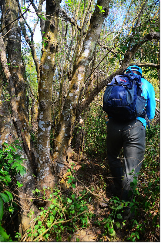
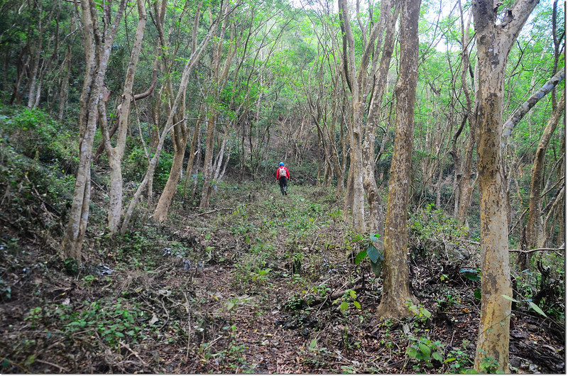
步成簡述:
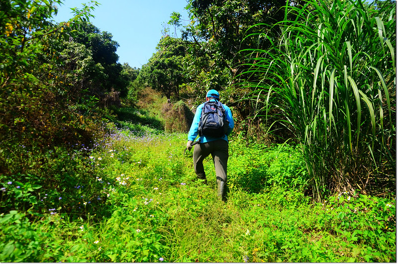
由停車處沿產道續行,里程歸零累計:
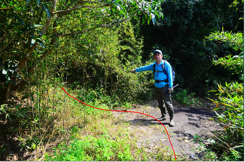
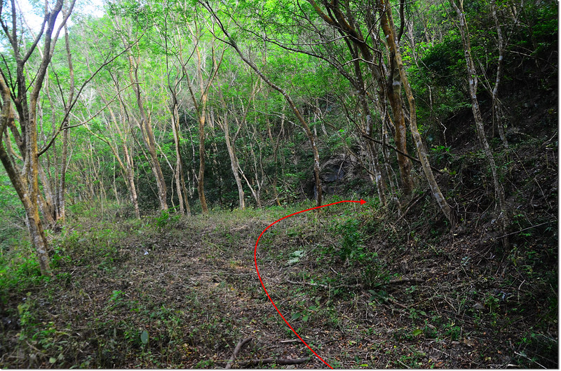
0.4K 岔路,左岔鐵柵門不取,取右上山;
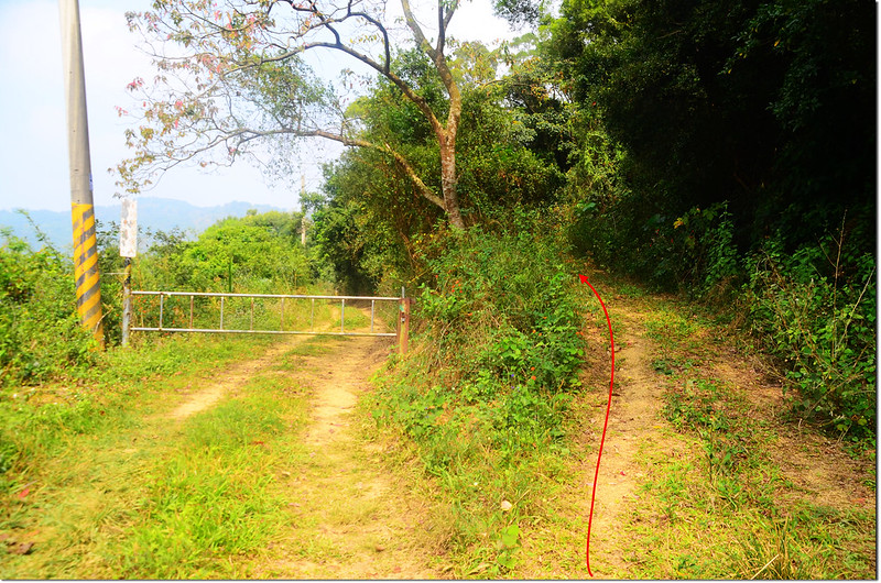
著可芋山產道柵門岔路
0.7K 岔路取右;
1.4K 岔路取左,高底盤車可開到此停車,四傳車若自認藝高膽大者可開到3.8K(著可芋產道6.7K機車行車終點),機車可續行;
著可芋山高底盤車行車終點
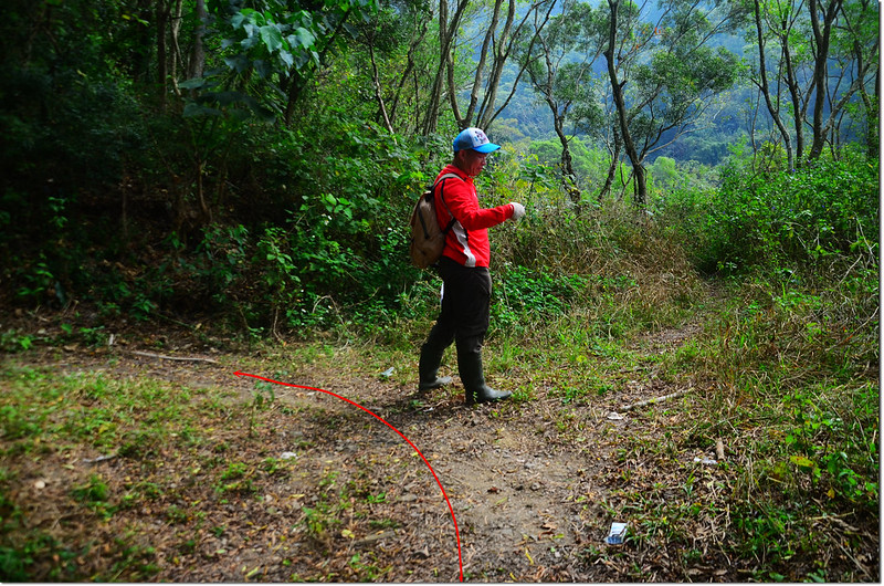
1.7K 岔路取左;
著可芋山產道岔路
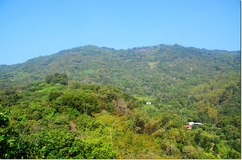
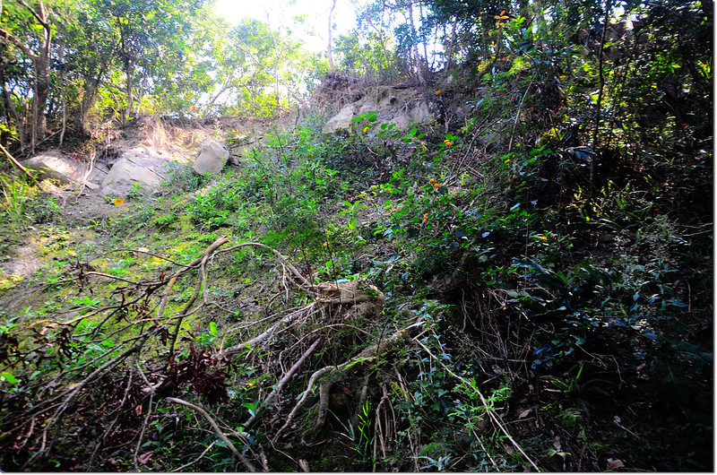
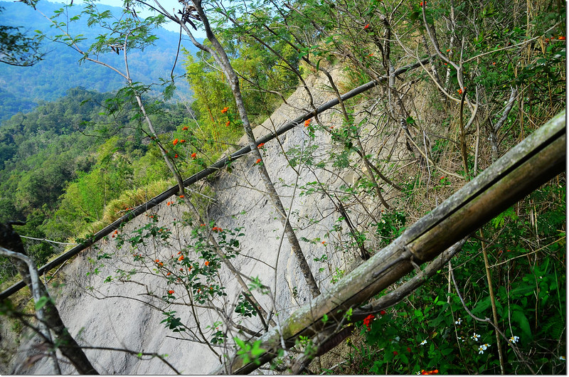
著可芋山產道西眺
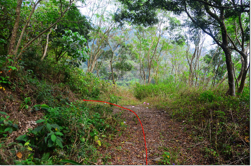
3.4K 岔路取右;
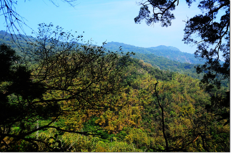
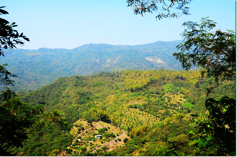
著可芋山產道東北眺大漢山
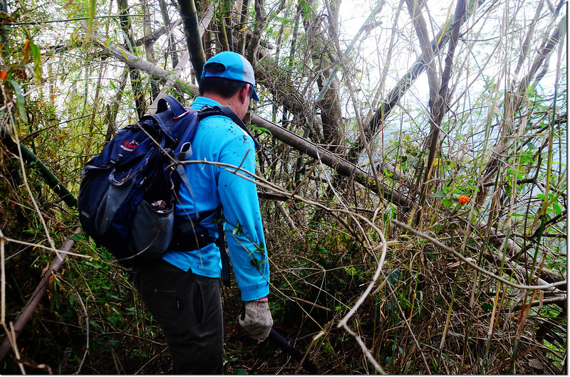
3.8K 登山口(機車行車終點),右轉廢產道上山,里程再歸零累計:
著可芋山廢產道登山口
廢產道至山頂路況里程(累計):
90公尺 岔路取左;
著可芋山廢產道
125公尺 岔路取右;
166公尺 岔路取左;
250公尺 岔路取右;
285公尺 岔路取右直行;
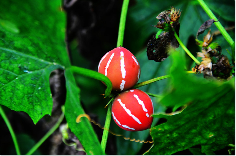
雙輪瓜
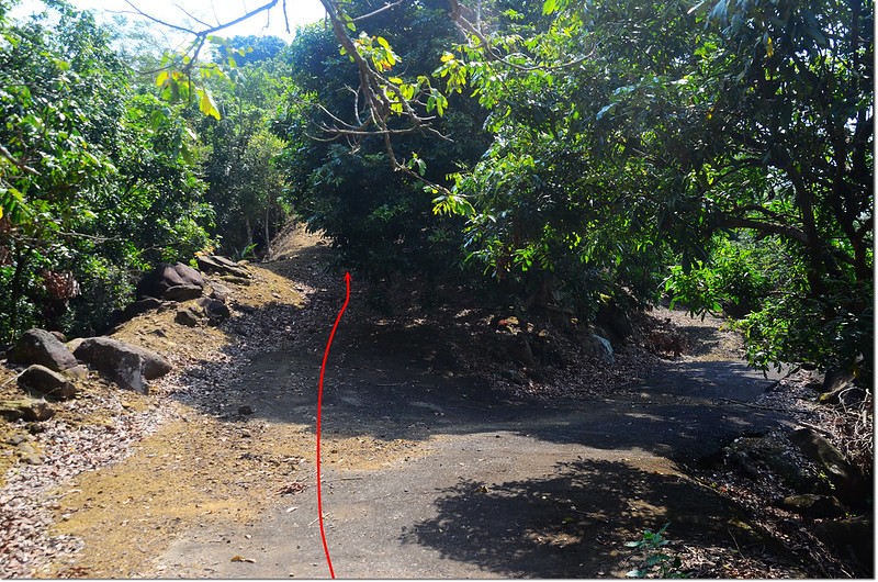
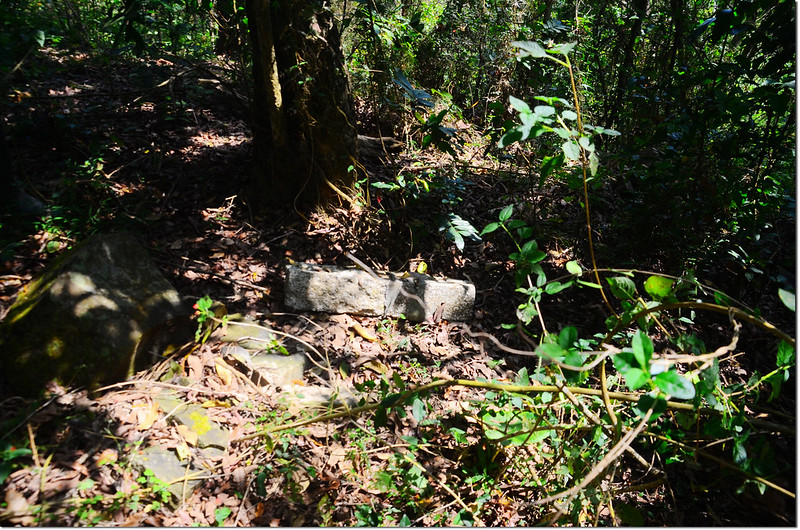
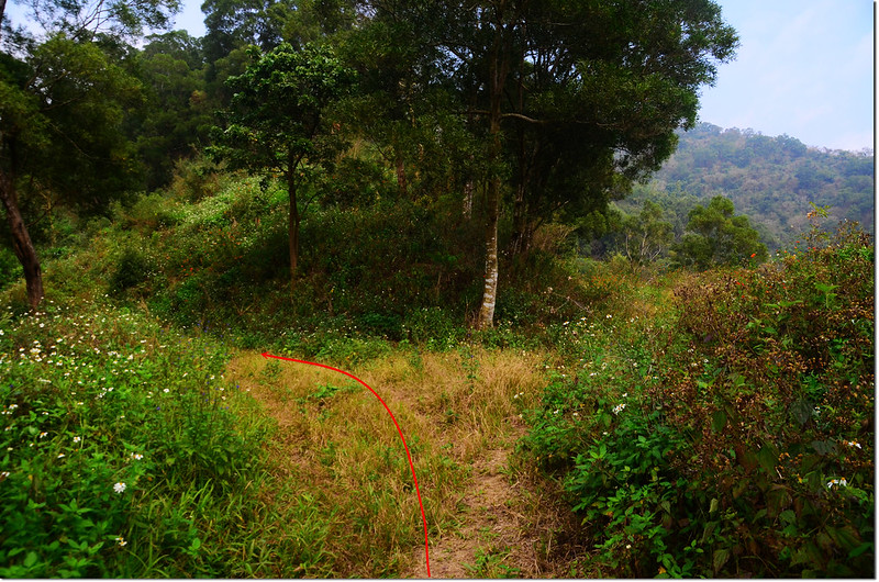
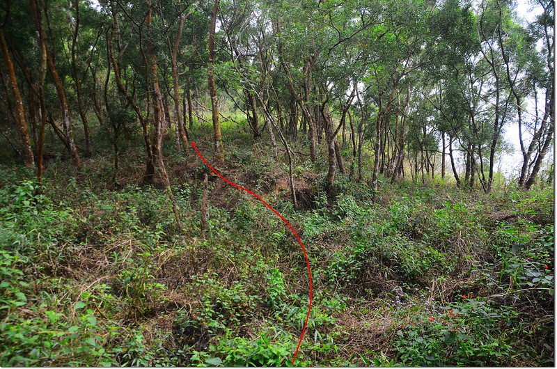
515公尺 攻頂點,取左切循稜線朝東南上山,山徑還算清楚,舊路條還蠻多的;
著可芋山攻頂點
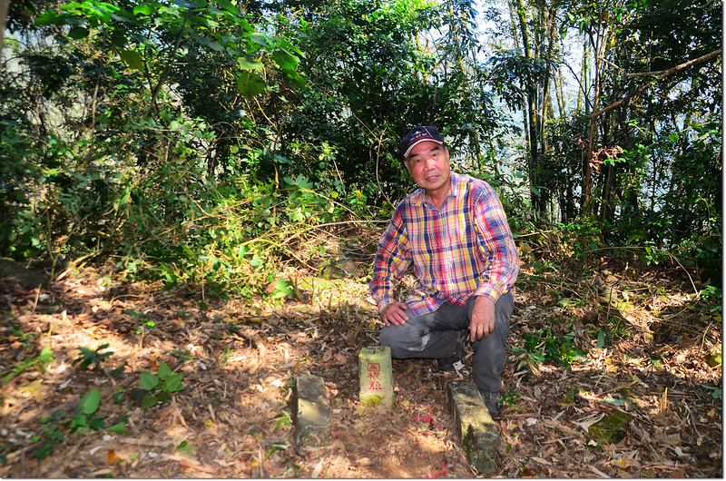
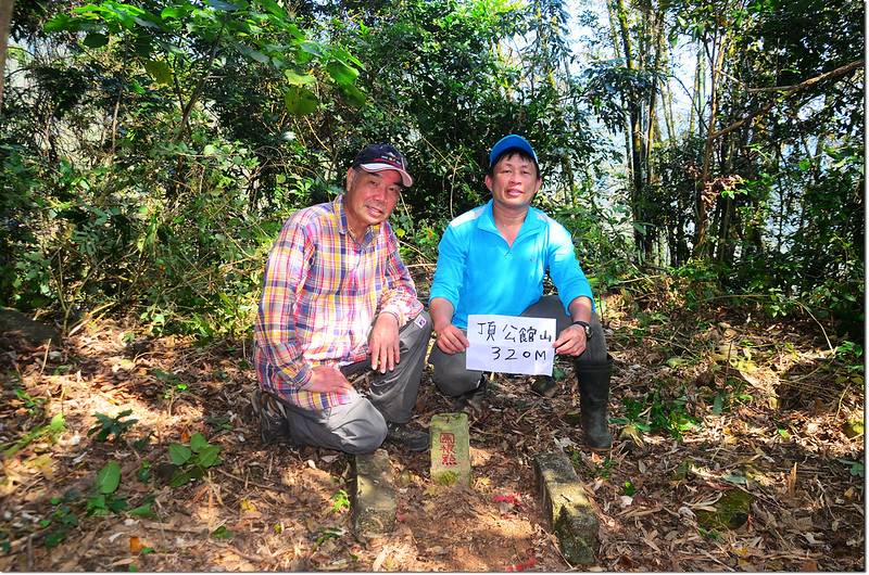
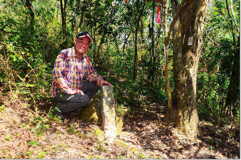
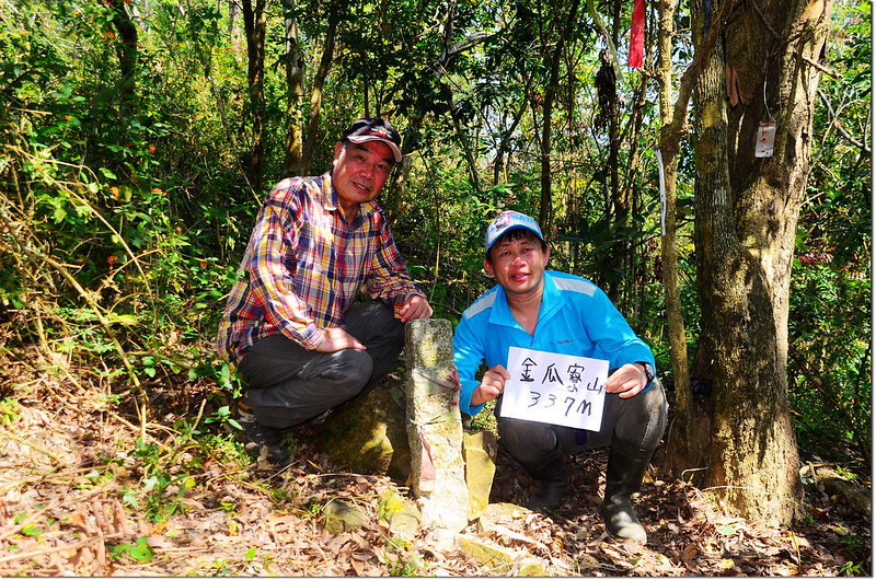
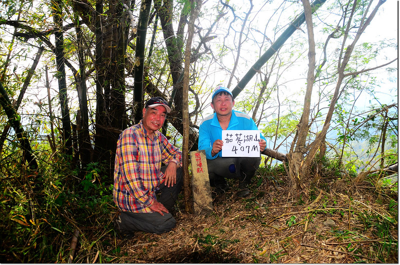
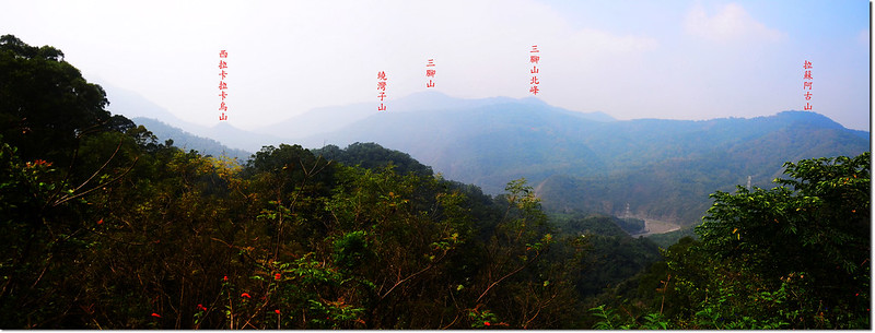
稜線行約300公尺、爬升約85公尺登頂著可芋山,山頂立有一顆台灣省政府圖根補點,稍有展望,如果天空晴朗一點士文部落及力里山均可看見。
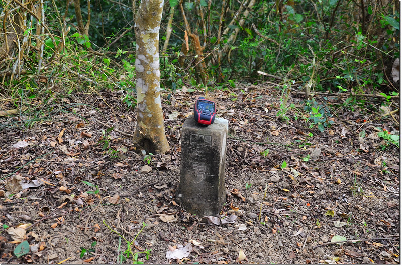
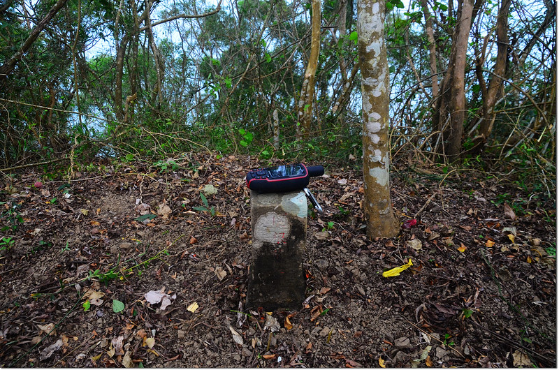
著可芋山台灣省政府圖根補點(Elev. 647 m)
著可芋山山頂
加路卡恩山登山路況:
由著可芋產道1.7K左轉行約180公尺右岔土路再行100公尺抵高壓輸電塔停車,
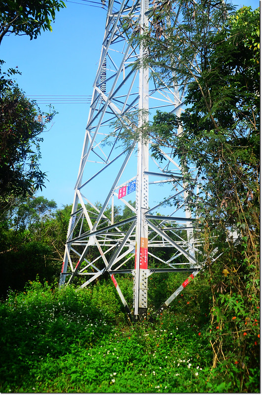
加路卡恩山高壓輸電塔
經過高壓輸電塔往西行,雜林中穿行約120公尺抵達加路卡恩山基點處,山頭立有一顆水利局士文水庫L07號水泥柱。
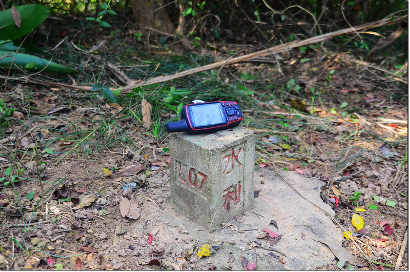
加路卡恩山水利局士文水庫L07水泥柱(Elev. 220 m)
加路卡恩山水利局士文水庫L07水泥柱
登著可芋山路況~~
著可芋產道全長6.7公里(行車2.9公里,步行3.8公里)
廢產道步行515公尺
攻頂點到山頂300公尺
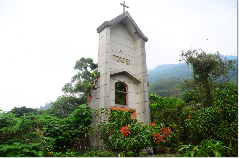
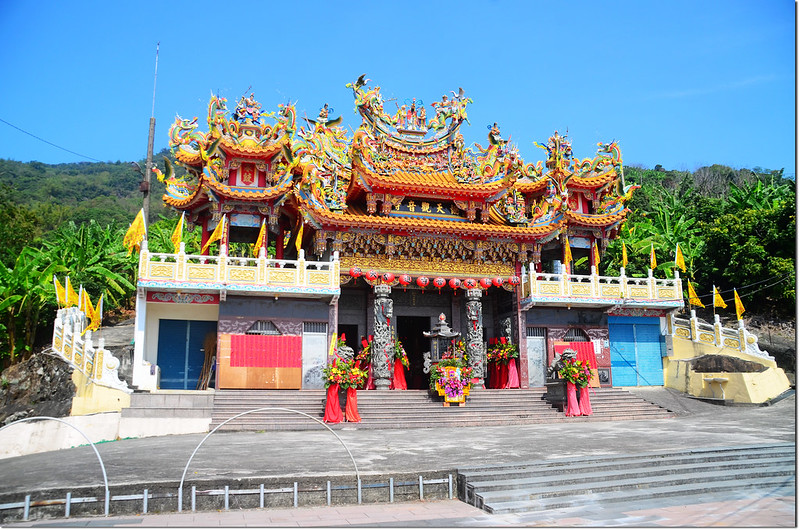
舊古華教堂廢墟