Mt. Meeker from 7 HWY
昨天和家人本來要進去落磯山國家公園走一趟Trail Ridge Road,該條高山公路往年都是在The Memorial Day假期前開放通行,但出發前上網一查才得知由於上週在落磯山國家公園的暴風雪,導致Trail Ridge Road的開放將延遲,不會在The Memorial Day假期開放,因此臨時改變行程到國家公園的Wild Basin Area走走Ouzel Falls Trail。
--------------------------------------------------------------------------------------------------------
步道名稱:Ouzel Falls Trail (Wild Basin Area)
登山口:Wild Basin Trailhead(海拔約8,500呎/2,591公尺)
步道終點:Ouzel Falls (海拔9,460呎/2,883公尺)
步道里程:來回5.4哩(8.64公里)
爬升高度:約300公尺
登山時間:含午餐休息計4小時
--------------------------------------------------------------------------------------------------------
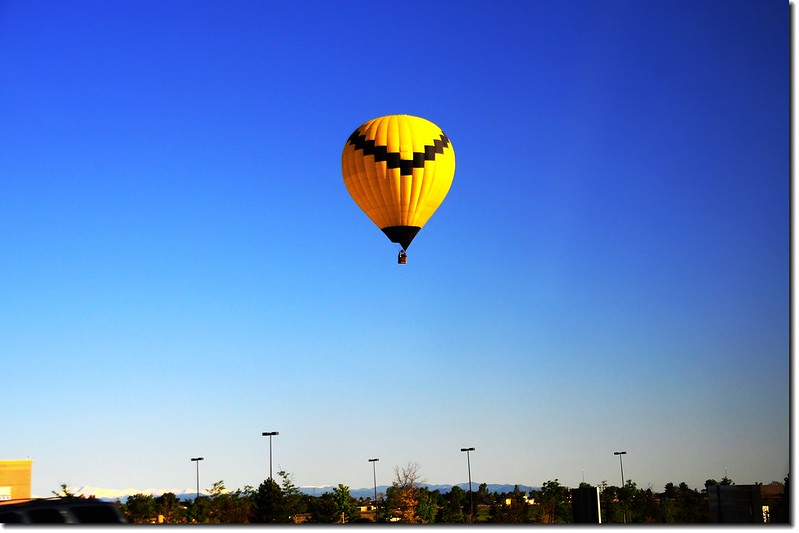
Hot Air Balloon
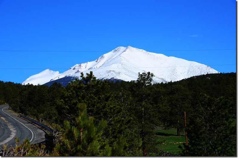
Mt. Meeker from 7 HWY
Ouzel Falls Trail位在落磯山國家公園東南隅的另一個分離的園區Wild Basin內,該登山口在Estes Park南邊約15哩、Allenspark北邊約4哩的7號公路西側,由該登山口起登可到多處的高山湖、瀑布和高山,每到夏天遊客絡繹不絕,停車場往往車滿為患,所以夏天、尤其是假日到此登山口還是早點出門為妙!
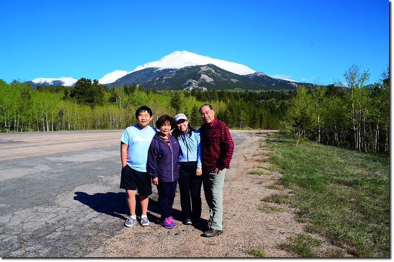
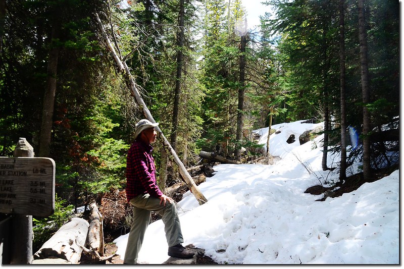
我們在早上九點左右抵達停車場,09:18由登山口起登,太座時差尚未調整過來不打算走完全程,我和貝貝先行,女兒則陪他老媽隨興走走。
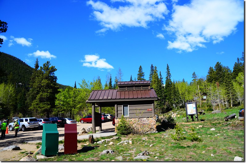
Wild Basin parking lot
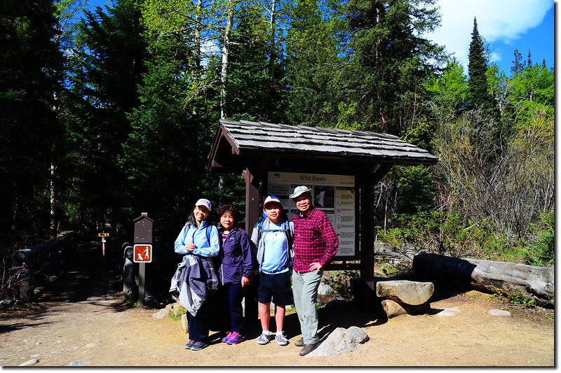
Wild Basin Trailhead
Copeland Lake--海拔8,300 呎(2,530公尺)。
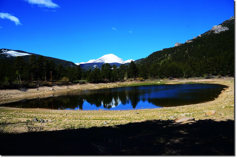
Mount Copeland reflects on Copeland Lake 2
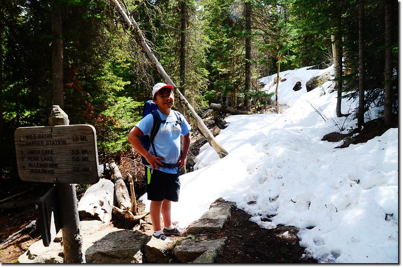
Wild Basin Trailhead--海拔8,500 呎(2,591公尺)。
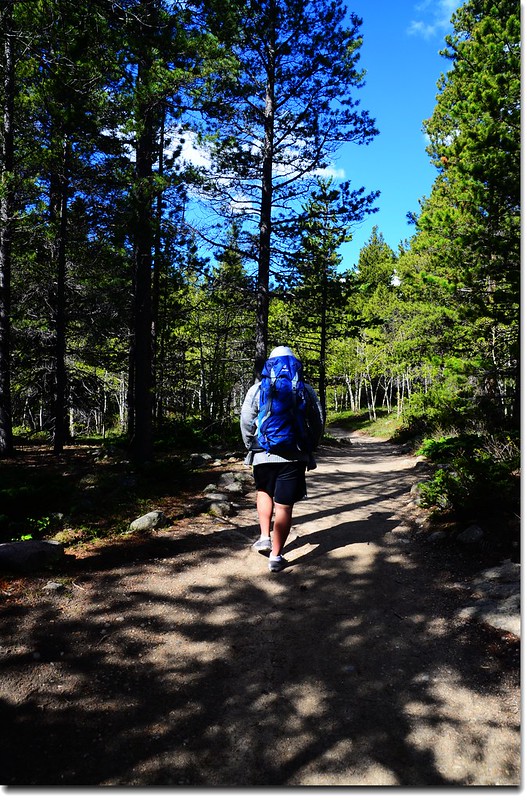
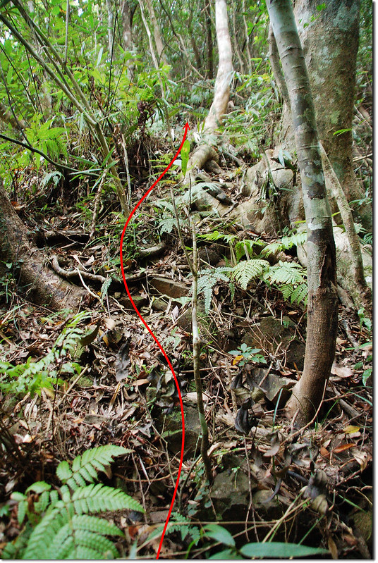
Ouzel Falls Trail
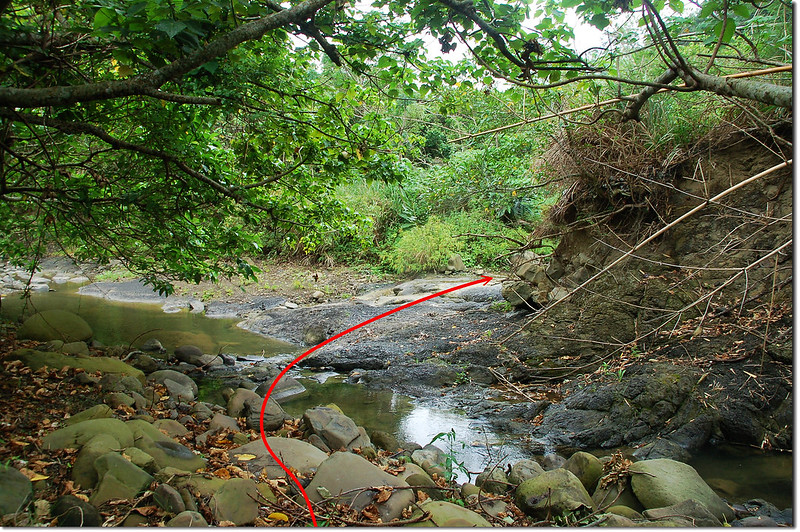
Copeland Falls--分Lower Copeland Falls和Upper Copeland Falls兩處,距離登山口約0.3 哩,爬升高度約15 呎。
Lower Copeland Falls
Upper Copeland Falls
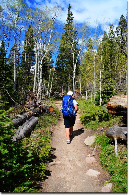
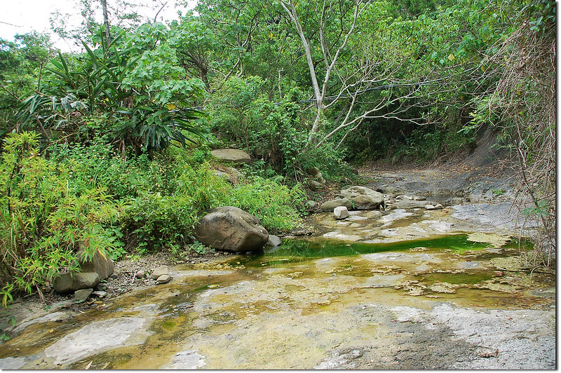
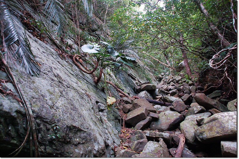
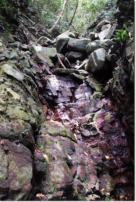
Ouzel Falls Trail
The creek along the trail
The creek along the trail
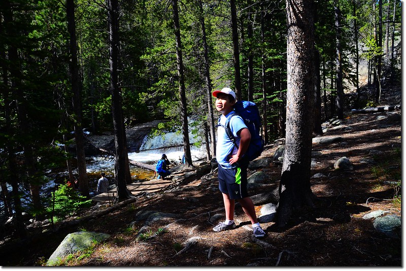
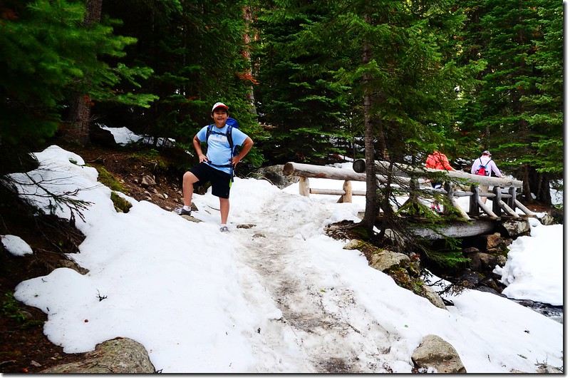
Jacob on the bridge
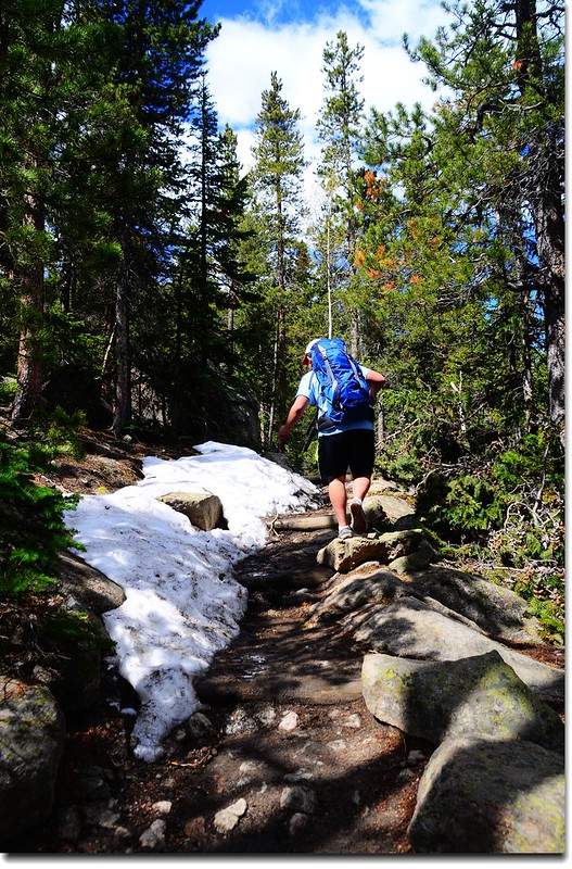
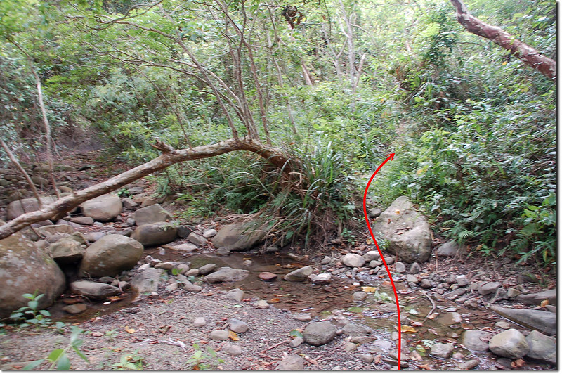
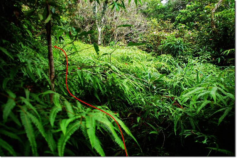
Ouzel Falls Trail
Ouzel Falls Trail
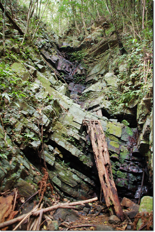
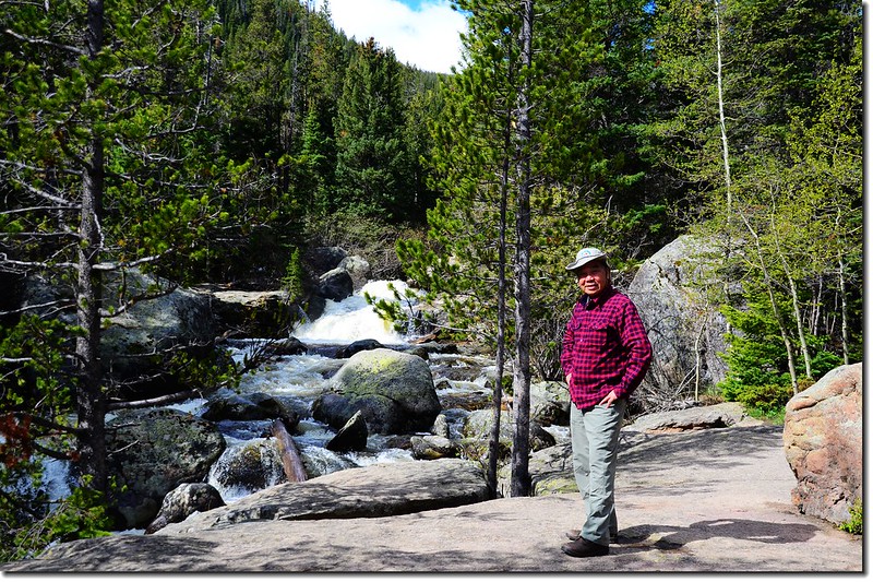
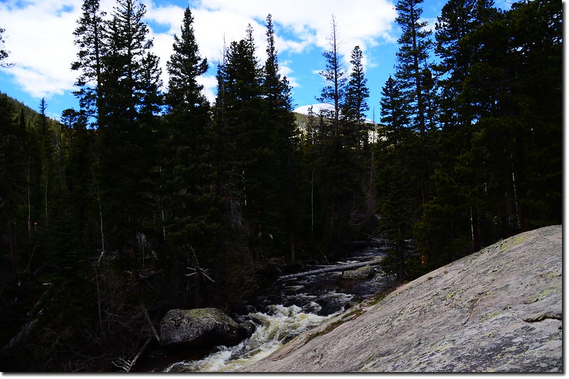
Calypso Cascades--海拔約9,200呎(2,804公尺),距離登山口約1.8 哩(2.88公尺),爬升高度約700 呎。
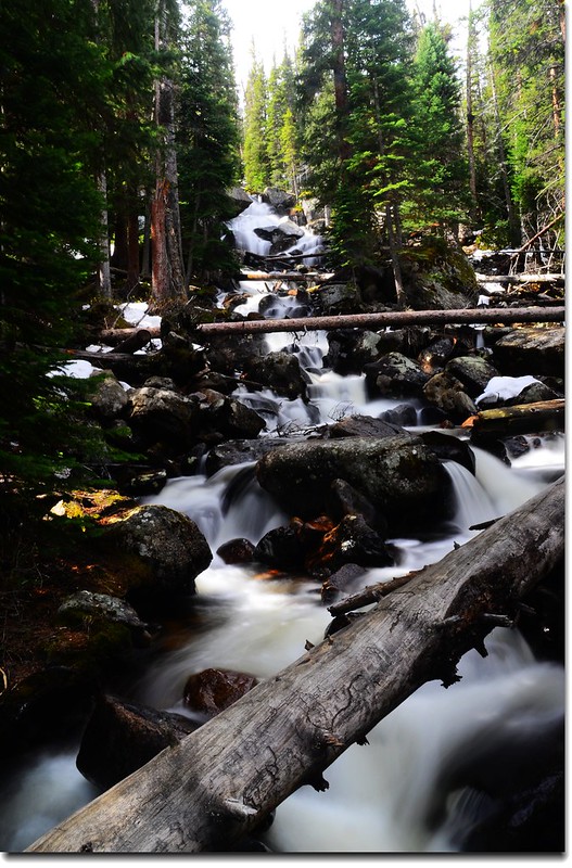
Calypso Cascades
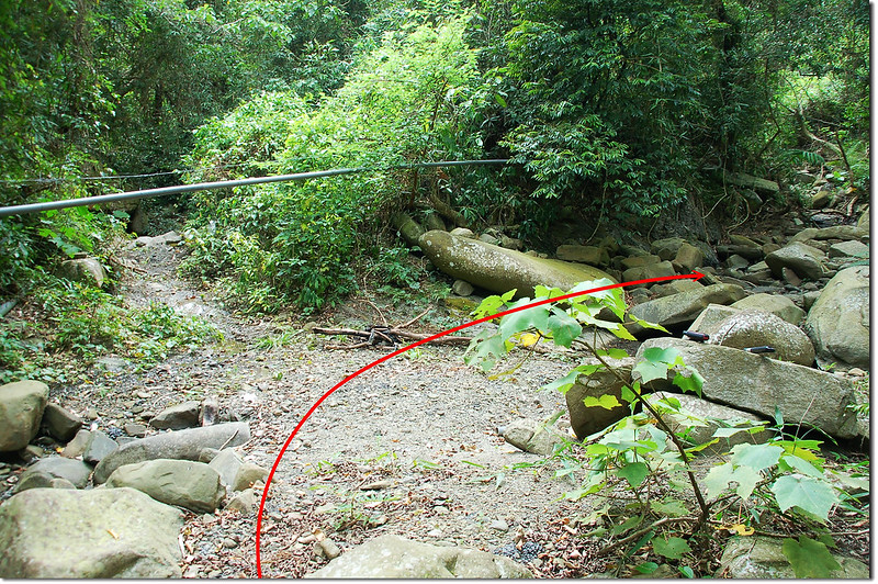
Ouzel Falls Trail
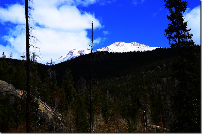
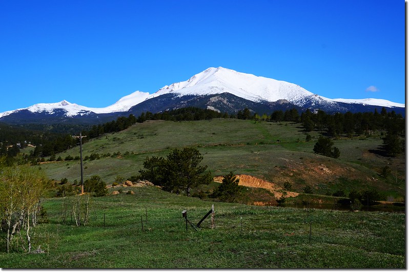
Longs Peak (L) & Mt. Meeker (R) from Wild Basin
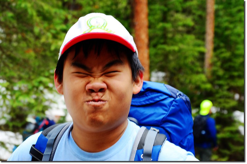
making a face
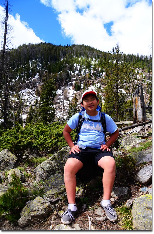
take a rest
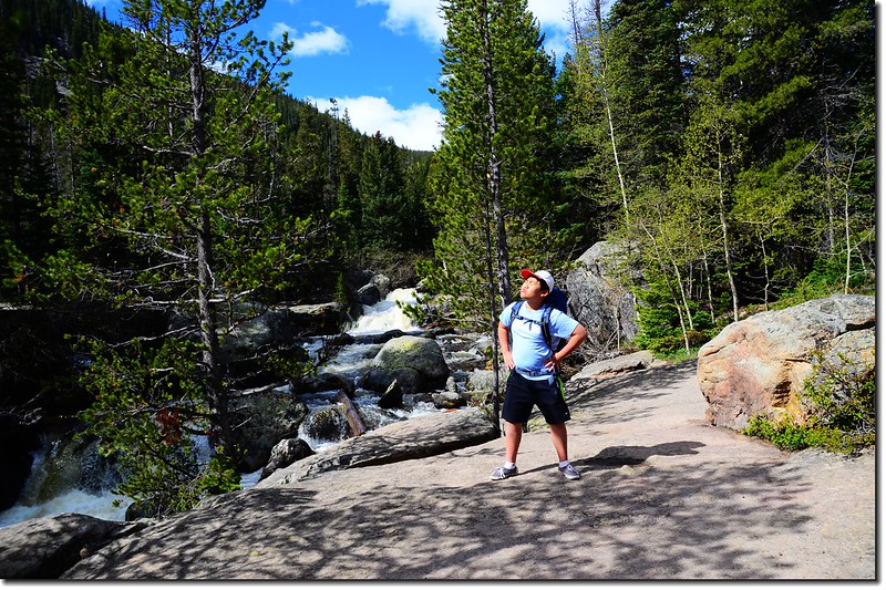
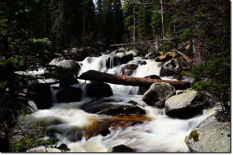
Ouzel Falls--海拔約9,460呎(2,883公尺),距離登山口約2.7 哩(4-32公尺),爬升高度約960 呎。
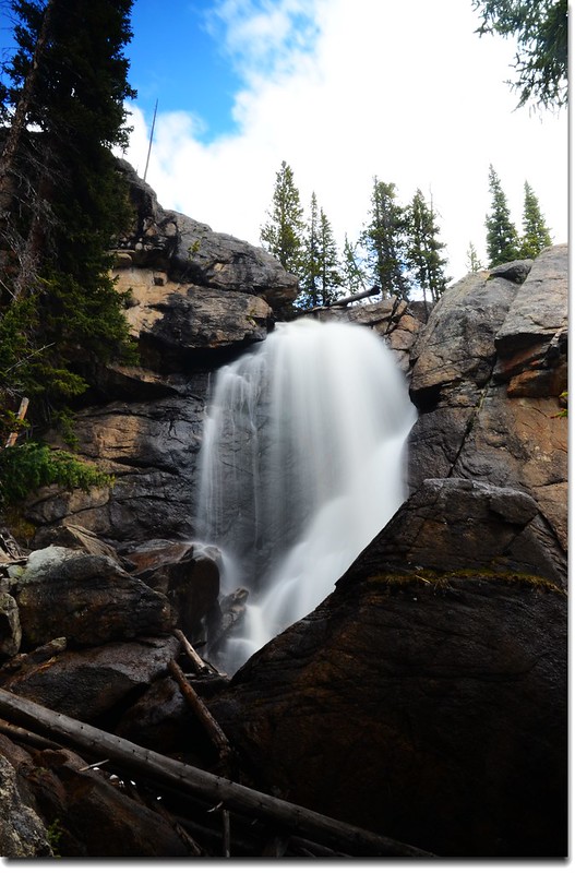
Ouzel Falls
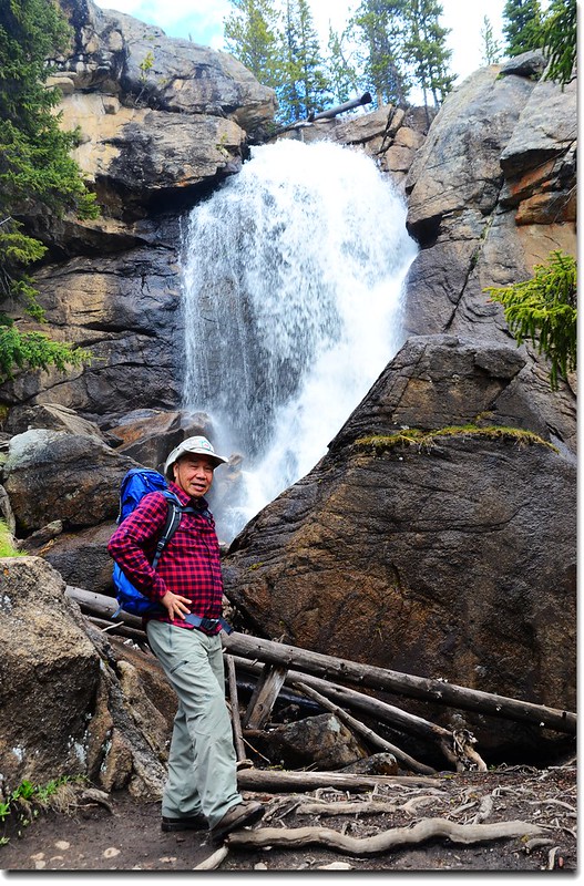
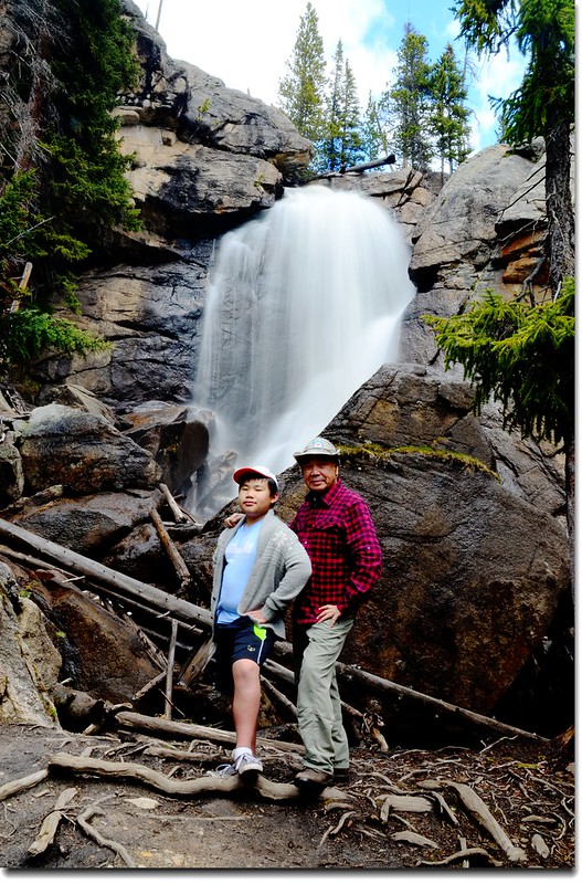
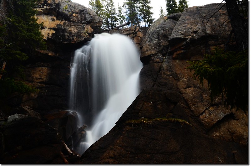
Ouzel Falls
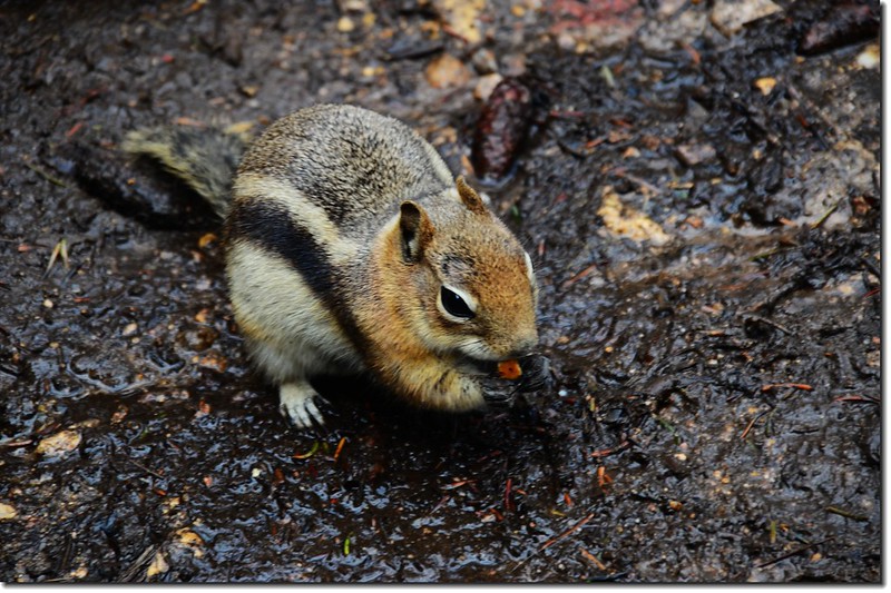
chipmunk

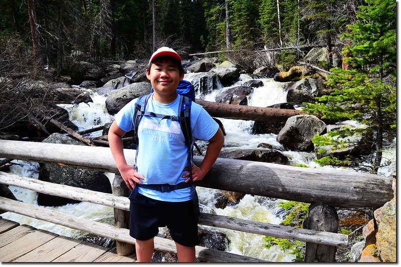
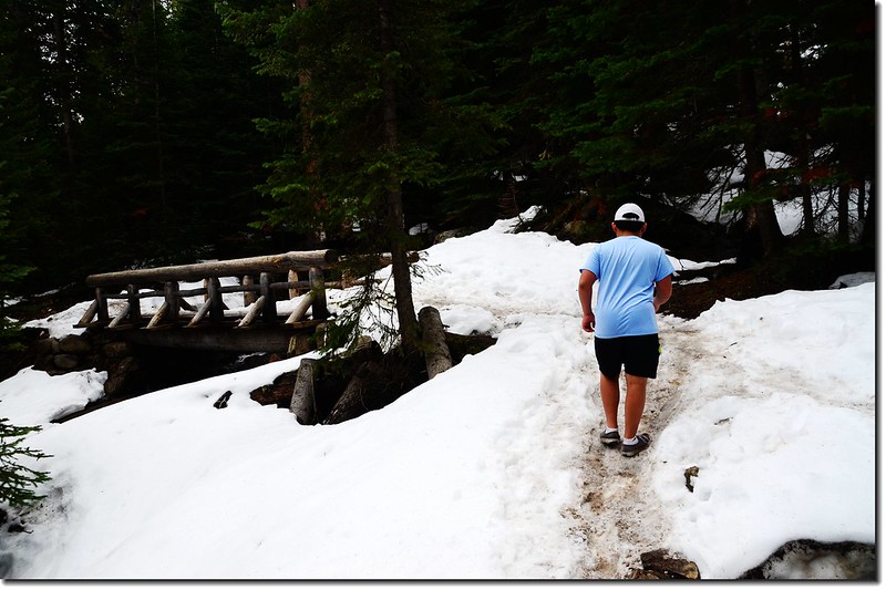
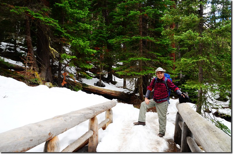
New wood bridge across the creek below Ouzel Falls
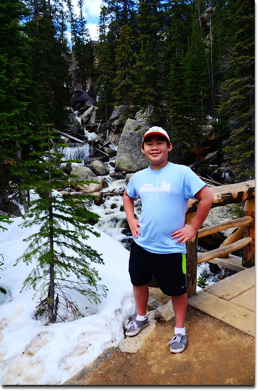
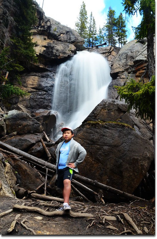
Jacob on the bridge below Ouzel Falls
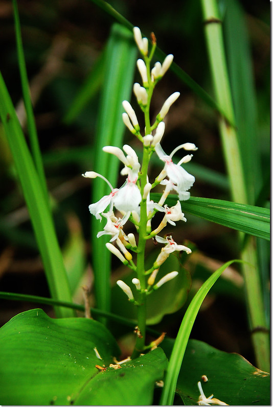
此行除了健行外尚有一個期待,希望能不能找到此步道特有的野生蘭—Calypso orchid (Fairy Slipper Orchid)-- 仙女拖鞋蘭,依據往年經驗此稀有物種是在5~6月開花,但今年因為融雪較晚,相對的影響到Fairy Slipper Orchid的花期,祖孫倆努力尋找全程才找到一株,盛開期估計要再半個月左右!
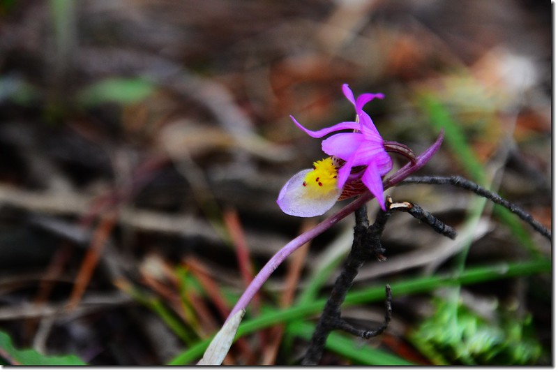
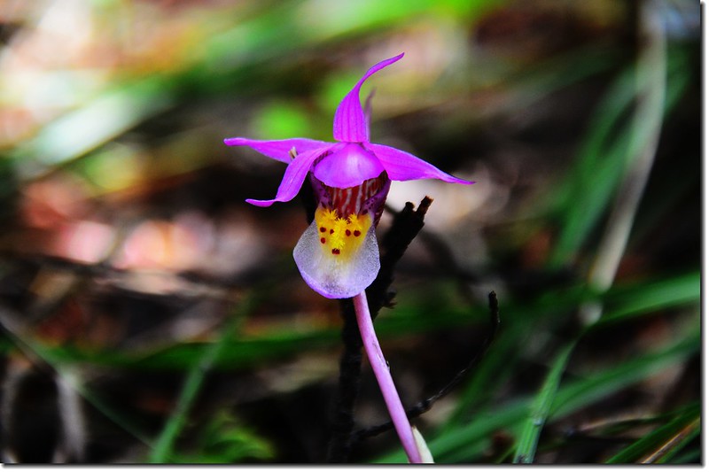
Calypso Orchid(Fairy Slipper Orchid)
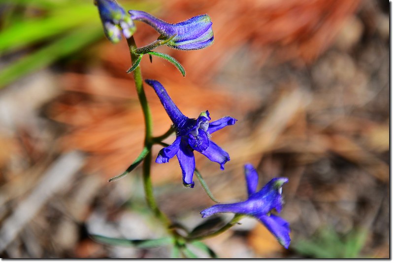
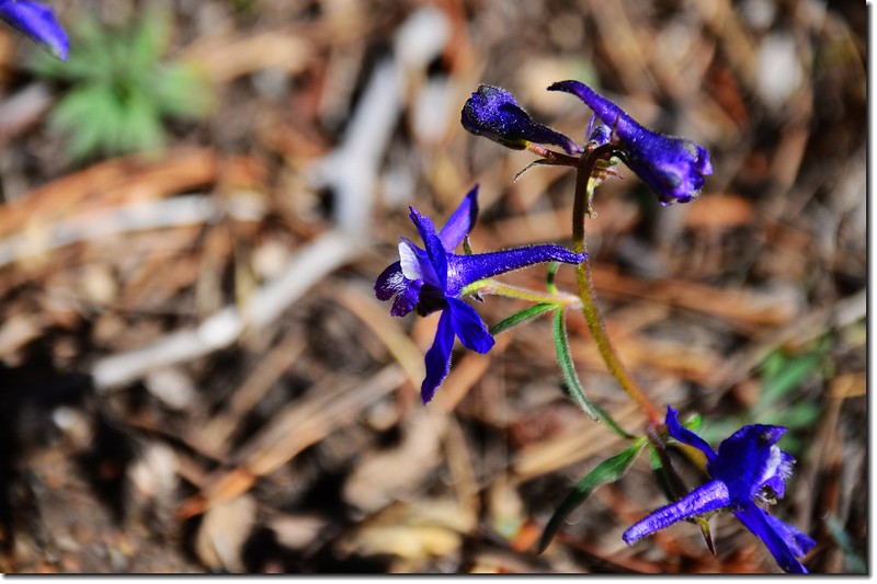
Early Larkspur
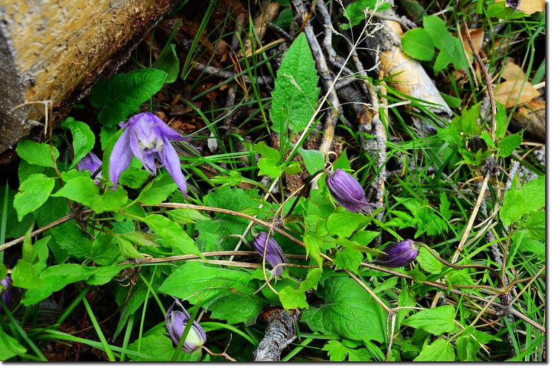
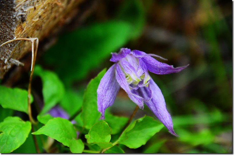
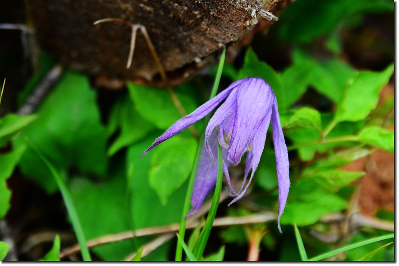
Blue virgin's bower