搜尋此網誌

2007/09/05

Mount Princeton 連走Tigger Peak(2007.09.03)

Mount Princeton from US- 285 Hwy

Hiking route

Mount Princeton from Antero's summit


Mount Princeton海拔14,197(4,327公尺),它是Sawatch Range中段的Collegiate Peaks群峰中最南的一座山,雖然他不是Sawatch Range的最高峰,但可能是最引人注目的;因為它矗立在小鎮Buena Vista 的西邊,突然隆起在Arkansas Valley天際,遠遠望去就是那麼的凸出。Mount Princeton是科羅拉多州第20高峰,要攀登這一座山如果從它的東稜上登是很容易登頂的,當然在它的各坡面也提供了一些較具挑戰的登山路線。而Mount Princeton東稜延伸的支稜又稱“Tigger Peak”,海拔13,300(4,054公尺),是值得推荐順便攀登的一座山。


1869Josiah Dwight Whitney教授率領一群包括兩個來自California survey的測量員,和四個他的學生到Collegiate Peaks一帶實施測量工作,此行的目的是給這些學生實務工作經驗。最初這一座山被Wheeler Survey成員稱之為Chalk Mountain(因此地帶很多Chalk白堊地形)Mount Princeton名字的使用最早於1873年,它是由USGS(United States Geological Survey)的成員之一、Whitney的學生Henry Gannett所命名. ,如同許多山峰被他所命名一樣。。Henry Gannett畢業於哈佛大學,任職在由George M. Wheeler所領導的政府測量隊,他是隊中的主要測量員,被譽為美國的政府地圖製圖之父(The Father of Government Mapmaking)


Mount Princeton 在紀錄上的首登者是1877717William Libbey,他當年剛畢業於Princeton大學,後來也任教於Princeton大學,是一位知名的地理學者。在此之前應該也有不少礦工登上此山,只是無紀錄可考。


此座山我於200793單獨去攀登,由於此山距住家較遠,所以凌晨三點便出發。取道I-70州際道路西行,到Golden後由Exit 260銜接CO-470 E南下,約6哩後轉US-285西行,約五點半左右抵達小鎮Buena Vista,然後取道County Road (CR) 306西行,一路沿指標循CR 321CR 322到登山口。一看時間已六點鐘,登山口諾大的一個停車場空無一車,應該是開上山了吧!

Lower parking lot 


這個登山口海拔8,900呎,一般車輛停此開始起登,來回要13( 20.9公里 ) ,爬升高度約5,400( 1,646公尺 ),若是性能較好的四傳車可再繼續往山上開。我因為打算順攀Tigger Peak,所以不停此續往停車場旁的車道上行。約3哩的崎嶇難行的山路後抵達海拔約10,800呎的無線電塔,紀錄上再往上不遠路邊可停車,續往上開,不久來到海拔11,000呎高的停車處,將車停在路邊,稍作整裝後於7點整出發。


07:00 出發,海拔11,000(3,353公尺)。預計今天先爬Mount Princeton,然後經其東稜順登Tigger Peak,兩座山爬升高度約3,400(1,036公尺),總路程約7.25(11.6公里,)應是輕鬆的行程。

一開始仍沿著寬敞的石子路Mount Princeton road沿山坡盤升,朝陽燦爛,路旁看到休旅車和未拆的帳棚,主人可能上山了。


向東俯瞰Buena VistaArkansas Valley都披上了一層金黃的晨光。


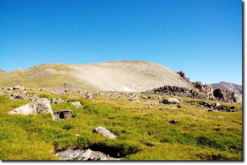
07:30 抵達Tigger Peak東南稜線,海拔約11,700呎。路徑轉向西前進,Tigger Peak依稀可見,Mount Princeton則隱身在Tigger Peak之後。

Tigger peak from Mt. Princeton road 


07:36 來到Mount Princeton trail叉路,海拔約11,800呎。Mount Princeton road續沿Tigger Peak山腰向南緩升,直抵Lucky MineMount Princeton trail則往右向西往上切,轉為登山小徑,但路跡清楚易行。

 The trail will veer up steeply to the right.(11,800 ft.)

View up towards the peak before reaching the talus 


07:50 抵達一個稜線,Mount Princeton整座山含1.5哩外的山頂在此一目暸然,登頂路線也依稀可見。

On the ridge(11,900')

Princeton peaking over Tigger's ridge


此地海拔約12,000呎,步道在此左轉到Tigger Peak的北面山腰往西緩升。步道偶而是清晰易見、偶而似乎消失在亂石堆中,但只要抓準目標--Mount PrincetonTigger Peak的最低鞍部爬升就對了。如果不怕陡也可朝Mount Princeton的山頂直攻,但那是一路的大小岩石堆和陡坡,除非你想磨練自己的耐力,否則還是先上鞍部再循Mount Princeton的東稜攻頂。

The talus on  north slopes 


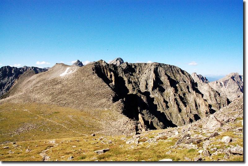
08:44 在不知其數的之字形盤升後,上抵Mount PrincetonTigger Peak的最低鞍部,海拔13,100呎。遙望南邊的Mount Antero隔著Chalk Creek CanyonMount Princeton南北對峙,氣勢雄偉,它是我下一個目標。

Looking south towards Mount Antero from Princeton's east ridge

Looking down Chalk lake campground from the saddle


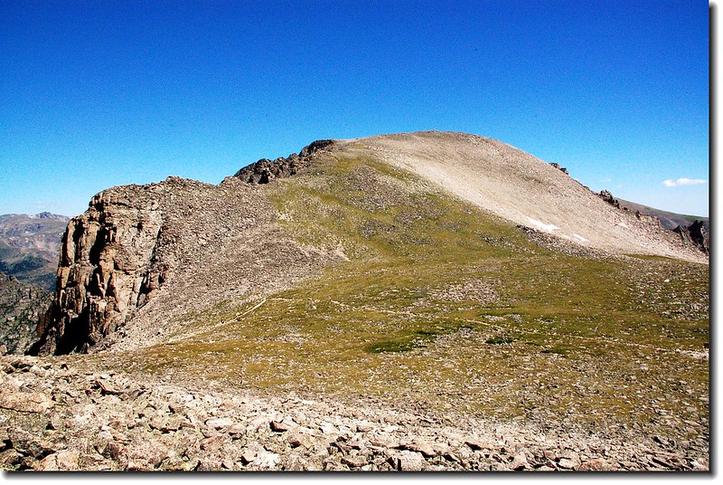
Mount Princeton的山頂在右(西)方稜線最高處,登頂路線依稀可見,看起來很近,其實中途還有幾處腰繞處。左()邊稜線可登Tigger Peak,下山時預定由此攀登。先取右沿著Mount Princeton東南稜線往山頂上攀。

Princeton from Princeton-Tigger saddle

Princeton from SE ridge

 East ridge (normal route) of Princeton

 Tigger Peak from the saddle


09:30 步道切入Mount Princeton東坡,在碎石堆中尋路上攀。

View up the summit on my way ascend

 Looking down at the route I just came up. From the summit of Princeton

 North slopes from the SE ridge

View up the summit on my way ascend 


09:47 又上抵Mount Princeton東南稜線,山頂已在望。此地海拔約14,000(4,267公尺)。續沿稜線朝山頂前進。

Final section to summit 


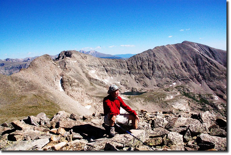
10:00 登頂排名2014ers--Mount Princeton,海拔14,197( 4,327公尺 ),山頂展望極佳。

Rock shelter at the summit of Princeton


On the summit of Princeton, background is Yale 


Me on the summit of Princeton with Antero in the background(4327 m)


此山雖不是最高峰,但因為是單獨凸出在Sawatch Range中,所以站在山頭上幾乎可以全覽Sawatch Range的所有南北14ers

 Looking down Buena Vista from Princeton's summit

View to north from Princeton's summit


View to south from Princeton's summit 

View to south from Princeton's summit 

View to south from Princeton's summit 

View to south from Princeton's summit

10:40 循原路下山


11:20 下抵Mount PrincetonTigger Peak的最低鞍部,海拔13,100呎。開始朝東南往Tigger Peak山頂爬升。

Tigger Peak from the saddle


11:37 登頂Tigger Peak,海拔13,300( 4,054公尺 ),照完相後續往東南稜下山,不久取向東坡下切。

Tigger's summit


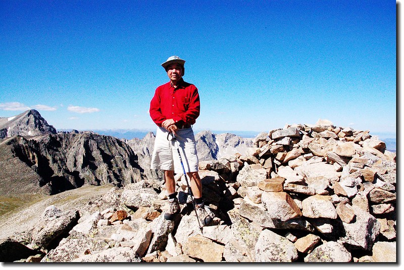
On the top of Tigger,background is Antero 

Tigger's summit(背後是Mt. Princeton)

Southeast ridge of Tigger from the summit

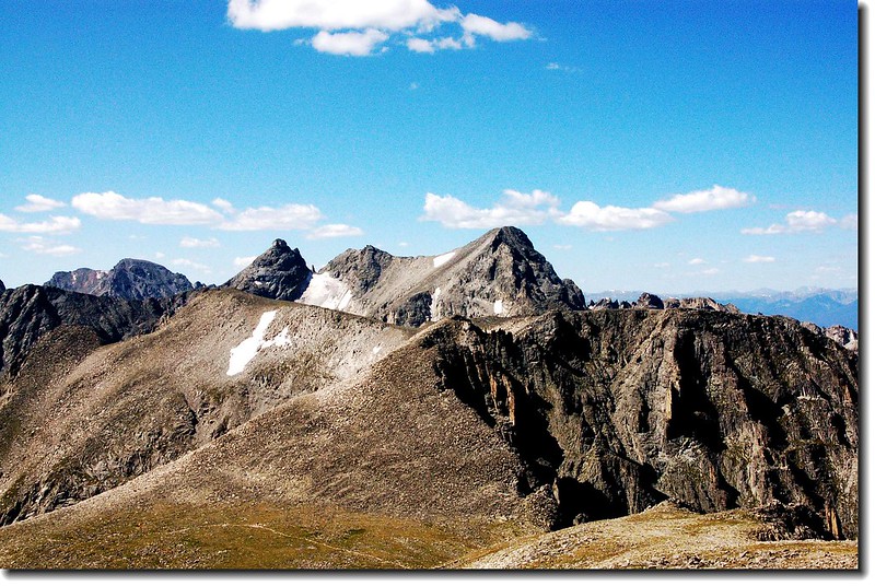
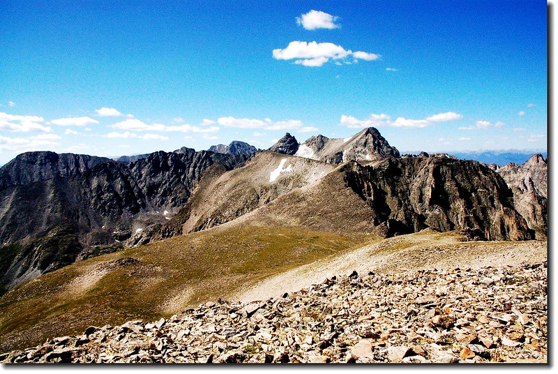
 East ridge of Princeton from Tigger's summit


12:23 Mount Princeton road,轉左沿該路下山。


Fringed Gentian


12:32 Mount Princeton trail叉路,續循原路下山。

Mt. Princeton road看Mt. Princeton trail


13:00 回到停車處,今天爬了Mount PrincetonTigger Peak兩座山,全長約7.25(11.6公里)爬升高度約3,400( 1,036公尺 ),共用去6小時,算是一趟輕鬆又收穫豐富的行程。

登山路線(From US-285 Hwy)

2007/08/20

攀登Maroon Peak (2007.08.18)
Maroon Lake (Maroon Peak高聳於後)


Maroon Peak ( 14156 ft / 4315 m ) 位於科羅拉多州名度假城市Aspen附近,在科州高山14ers. (海拔高於14000呎/4268公尺的高山群,類似台灣百岳;在科州共53座) 中排名第24。 

Maroon Lake (Maroon Peak高聳於後)


2007.08.17我們(George,Bianca,Lobo,Cristine,Thomas和我共6人)分乘兩部車從Thornton 和 Denver 出發,經4個多小時後抵達營地--Difficult Campground,


天色將暗,搭好帳,吃過George和Lobo準備的烤肉大餐,便早早就寢。


次日(08.18)3點起床,用過餐便驅車前往登山口。

05:20 登山口Maroon Lake出發。

Maroon Lake (Maroon Peak高聳於後)


06:30 接近Crater Lake晨光初露。

View of the Maroon Bells on the hike to Crate Lake

今天的目的地(Maroon Peak)高聳在後


06:50 沿著Crater Lake湖邊小徑續進。

The Bells with Crater Lake(10,076 ft.)

Crater lake in the sunrise 


07:30 多隻Bighorns列隊穿過碎石坡。


07:50 來到Bent tree,Lobo嘗試把牠搞正。


08:00 終於來到起攻點,挑戰開始。


09:00 一小時後George和Thomas已有點落後;


Lobo和Cristine則已放棄登頂,Bianca則有先見之明,一開始就留在Maroon Lake欣賞湖光山色。


09: 30 兩個美國山友正在我們上方奮戰。


10:00 數隻Mountain Goat正虎視眈眈的望著我們這些不速之客。


一些山友小心翼翼的躲開Mountain Goat所踢下的落石。


11:10 終於爬到第一個鞍部( 13250 ft ./ 4039 m )屬於Maroon Peak的南稜。


11:30 George和Thomas也陸續到達。


在此鞍部北望Elk Range 的另兩座14er.---Capitol Peak和Snowmass Mountain。


在此仰望山頂陡峭的山壁,估計還有兩個小時左右的路程,George和Thomas決定放棄攻頂,剩下我孤軍奮戰。

13:00 在上氣不接下氣下,終於登頂Maroon Peak( 海拔14156 ft / 4315 m )。

On the summit of Maroon peak,Pyramid in the background

On the summit of Maroon peak,north Maroon in the background

Maroon and Crater Lakes as seen from Maroon peak 's summit

Spectacular summit views


13:30 深怕其他山友不放心及久候,拍完照後下山。

Lofty and steep rocks on the south ridge

Looking down a loose gully


14:28 下到The Saddle of South ridge看似一個家族的Mountain Goats正盤據在此。


下山途中看到不少野花

Mountain gentian(Parry gentian)

Fringed Gentian

Mountain Harebell


15:30 回到登山口其他山友還在欣賞Maroon Lake的湖光山色。


16:30 順道到Aspen downtown打打牙祭再回營地結束一趟艱困的行程也完成我在科州的第19座14er.


2007/08/10

攀登Pawnee Peak和Shoshoni Peak兩峰記(2007.08.09)

On the saddle between Point 12,860' & Pawnee 2

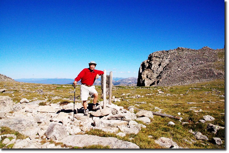
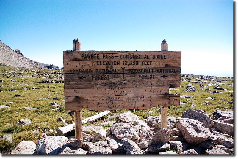
Pawnee Pass marked by sign on Continental Divide


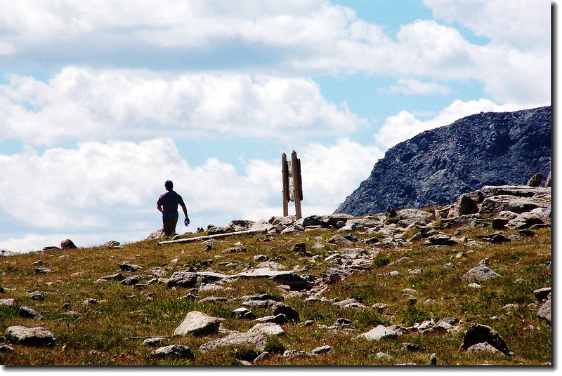
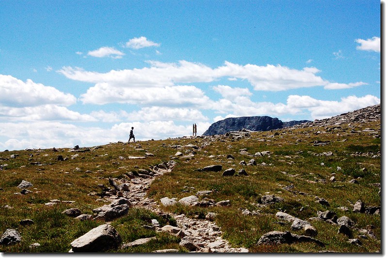
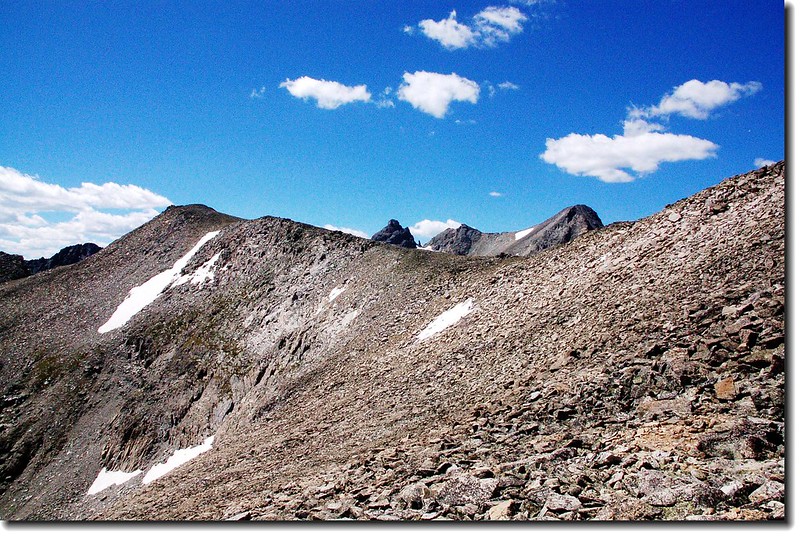
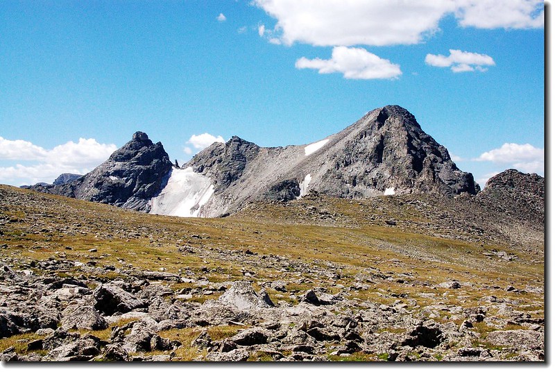
Pawnee PassIndian Peaks Wilderness一條穿越洛磯山脈大陸分水嶺的高山步道,登山口在Brainard Lake Recreation Area。沿著步道沿途會經過Long LakeLake Isabelle兩個高山湖泊;上到最高點後是一大片的苔原,從此高點可攀爬Pawnee PeakShoshoni Peak。越過分水嶺後往西下可達Pawnee Lake ,在Brainard Lake Recreation Area地區是一條蠻受歡迎的登山健行路線。該路線我於兩年前走過一趟,主要是去攀爬Pawnee PeakShoshoni Peak

------------------------------------------------------------------------------------------------

登山日期:2007.08.09

攀登山岳:Pawnee Peak( 12,943 ft . / 3,945 m )

                   Shoshoni Peak( 12,967 ft . / 3,952 m )

口:Long Lake Trailhead (10,480 ft. / 3,194 m )

登山里程:全程來回約12 ( 19.2公里 )

爬升高度:約2,900 ( 884公尺 )

花費時間:7 小時 42

登山口行車指南:

Golden72號公路(Peak To Peak)或由Boulder119號公路到Nederland後續往北走12哩到達小鎮Ward,剛過小鎮路旁就可看到一面大指示牌指向西邊標明Brainard Lake”,順著指示牌左轉沿Brainard Lake Road行約5哩即可到Brainard Lake ,中途2.6哩處會經過一收費站(夏季每一車輛9美元,持有國家公園年票-- America The Beautiful可適用;冬季大約10月初到次年6月中旬則免費。) The Long Lake Trailhead則續行約一哩,登山口有一停車場,但在夏季若不早到往往是客滿的。過了收費站後沿途會經過Red Rock Lake Brainard Lake

------------------------------------------------------------------------------------------------

行程紀要:

我於清晨六點左右到達Brainard Lake,清晨的湖光山色吸引我駐足好久,岸邊早就有釣客在此垂釣。六點半到達登山口停車場,因為來得早,車輛沒幾部。

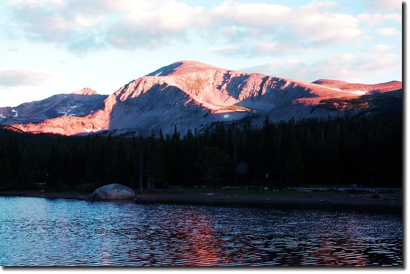
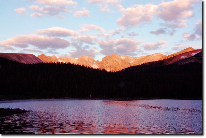
Morning light on Brainard lake 3

Morning light on Brainard Lake

Morning light on Brainard lake 2

Morning light on Brainard Lake

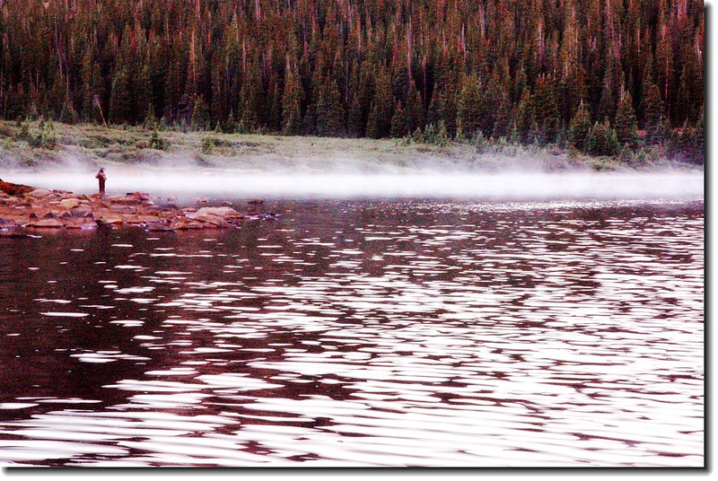
The lake was shrouded in mist 3

迷霧中的釣者

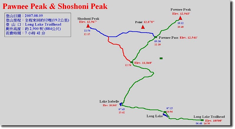
Pawnee Peak & Shoshoni Peak Hiking Route

登山路線圖


06:48 登山口出發,沿著Long Lake Trail在松林間西行。

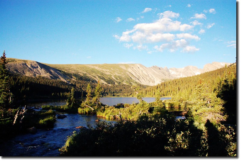
06:55 到達Long Lake東口,沿湖的北岸續往西行。

Morning light on Long lake 2

Long Lake


07:15 到達Long Lake的西端遇The Jean Lunnings TrailPawnee Pass Trail岔路(海拔10,674’),取右循Pawnee Pass Trail直行。

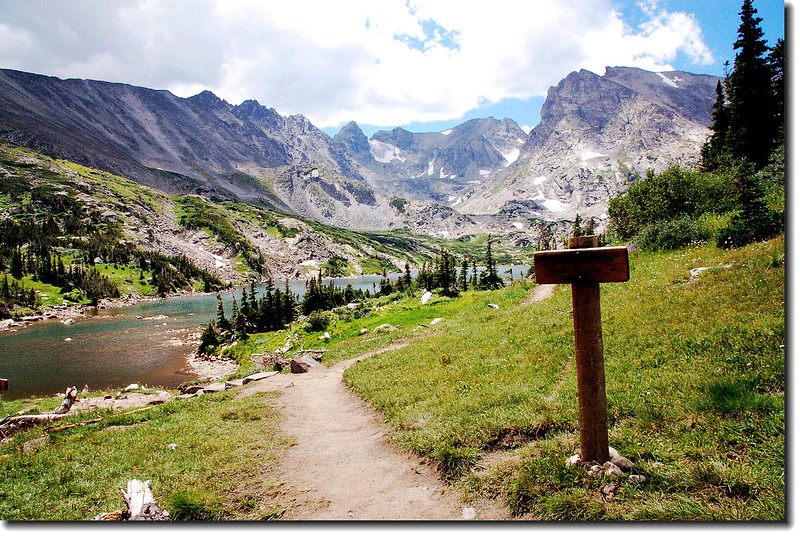
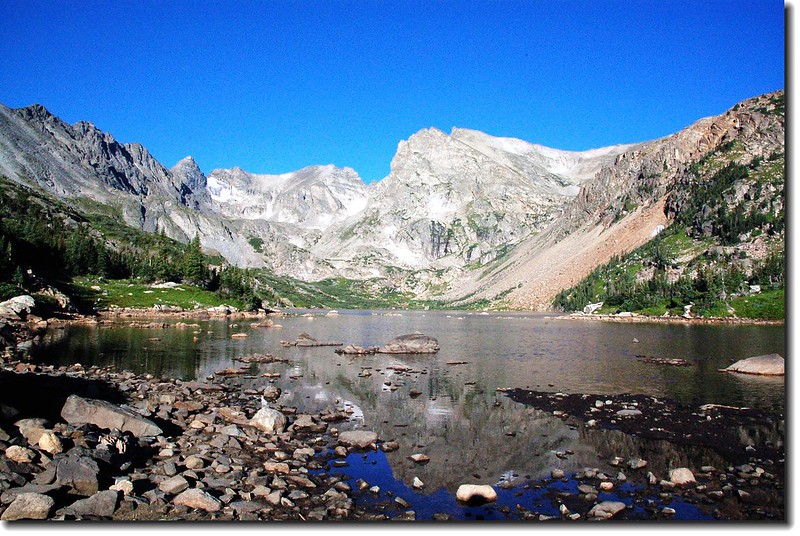
07:43 經過一段小陡坡後抵達Lake Isabelle

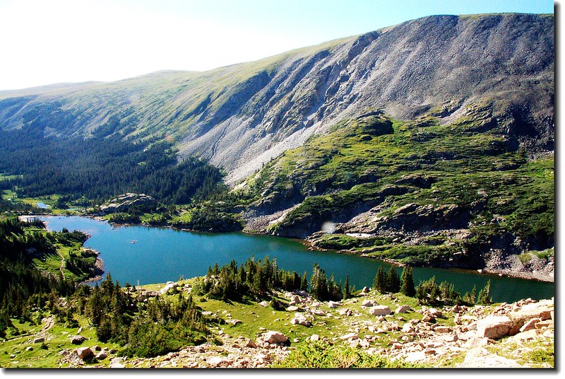
Lake Isabelle 6


Lake Isabelle 岔路

Niwot Ridge, Navajo, Apache and Shoshoni from Lake Isabe (1)

Lake Isabelle


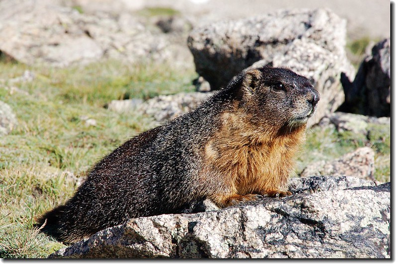
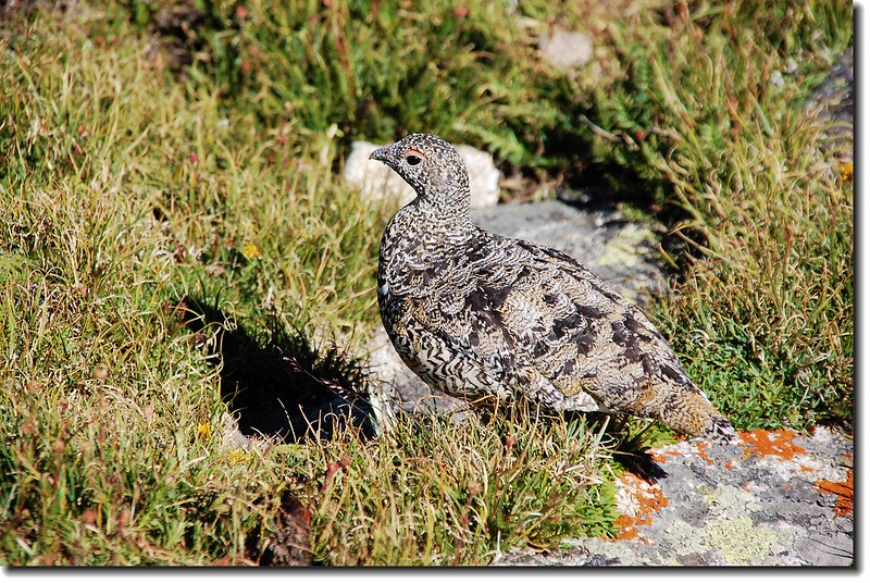
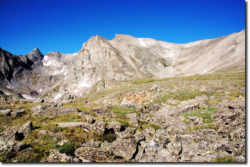
稍事停留續往右字形攀升,步道轉為陡峭。約3/4哩後(距登山口約2.75 哩海拔約: 11,355)出了森林線,步道轉為較平緩,兩側是亂石堆的苔原地形,苔原上不時看到土撥鼠(Marmot)、短耳兔(Pika)和雷鳥(Ptarmigan) 在活動。

Lake Isabelle as seen from just upper Pawnee Pass trail 1

俯瞰Lake Isabelle

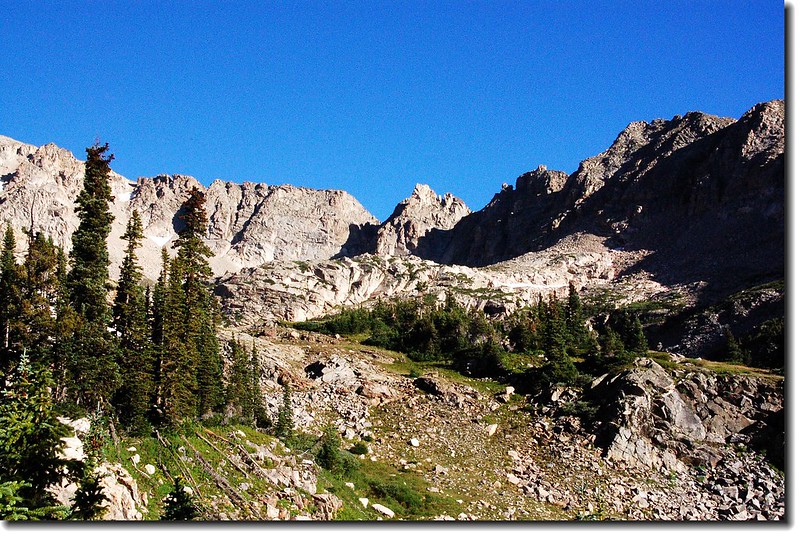
The spire-riddled southeast faces of Pawnee Peak

步道北眺Pawnee Peak東稜

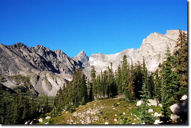
Navajo Peak from above Lake Isabelle

步道南眺 Navajo Peak

A lazy marmot 3

Marmot

Ptarmigan 1

Ptermigan


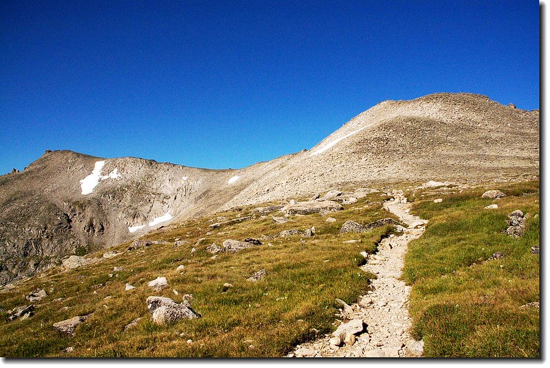
經過一斷平緩的亂石坡後再爬升一段陡坡便看到一片高原--Pawnee Pass最高點到了!

Shoshoni peak as seen from higher tundra plateau just be (1)

Shoshoni peak as seen from higher tundra plateau just below Pawnee Pass

Shoshoni peak(L) as seen from Pawnee Pass 1

Shoshoni peak(L) as seen from Pawnee Pass


09:30 抵達Pawnee Pass,海拔12,541呎,距登山口4.55哩,很寬廣的一片苔原,北側是Pawnee Peak ,南邊是一座海拔12,878呎的無名山頭,步道續往西行便是洛磯山脈的西邊,可達Pawnee Lake


Pawnee Pass marked by sign on Continental Divide

Pawnee Pass

Pawnee Peak as seen from just below Pawnee Pass

Pawnee Peak as seen from just below Pawnee Pass

Pawnee Peak rises 400' above the alpine flats of Pawnee Pass

Pawnee Peak as seen from Pawnee Pass


Pawnee Pass稍事休息並到處逛逛後開始朝Pawnee Peak山頂出發,一路在Pawnee Peak的南側坡上升,沒有明顯路跡但不難走,朝山頂自行尋路上山,爬升約400呎即可抵達山頂。

West face of Point 12,860' from Pawnee peak 3

West face of Point 12,878' from Pawnee peak


10:12 抵達Pawnee Peak山頂,海拔12,943.( 3,945 公尺) 

On the summit of Pawnee peak 2

On the summit of Pawnee peak 1

On the summit of Pawnee peak 


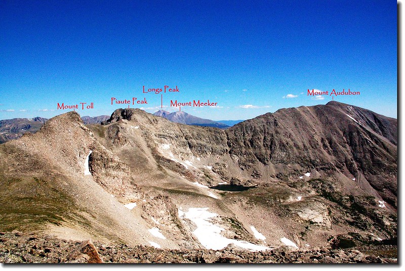
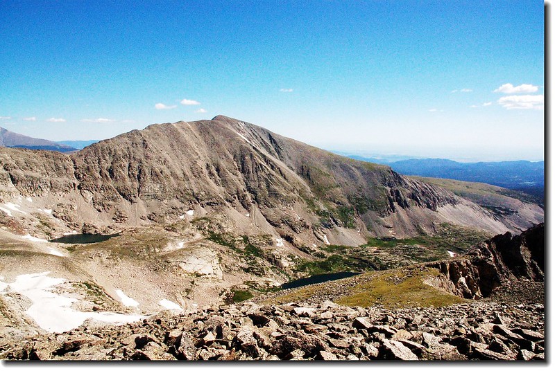
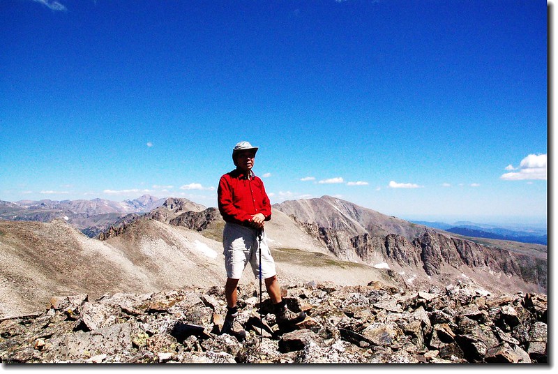
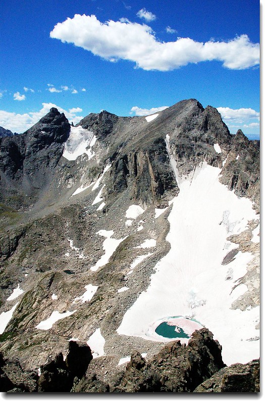
山頂有極佳的展望,環視整個Indian Peaks Area和北邊的洛磯山脈 ,北邊幾座山頭如Mt. Audubon ( 13,223’ )Mt. Toll ( 12,979’ )Paiute Peak (13,088')就在不遠處; Blue Lake and Little Blue Lake.也在山腳下,熟悉的Longs Peak也清晰可見。

View to south from Pawnee's summit 3

View to south from Pawnee's summit

View to south from Pawnee's summit 2

View to south from Pawnee's summit

View to north from Pawnee's summit 2

View to north from Pawnee's summit

Saddle between Pawnee Peak and Mt. Toll

View to north from Pawnee's summit

View to north from Pawnee's summit 1

View to north from Pawnee's summit

Mount Audubon as seen from Pawnee's summit 2

Mount Audubon、Blue Lake(右下) and Little Blue Lake(左)

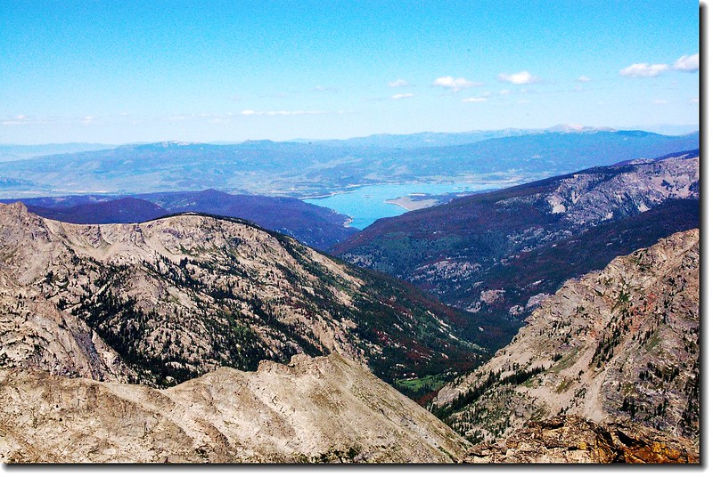
West view to Lake Granby from Pawnee Peak 2

West view to Lake Granby from Pawnee Peak


10:40 下山
11:10
下抵Pawnee Pass,續往南邊的Shoshoni Peak前進。

Pawnee Pass 3

Pawnee Pass 2

Pawnee Passs


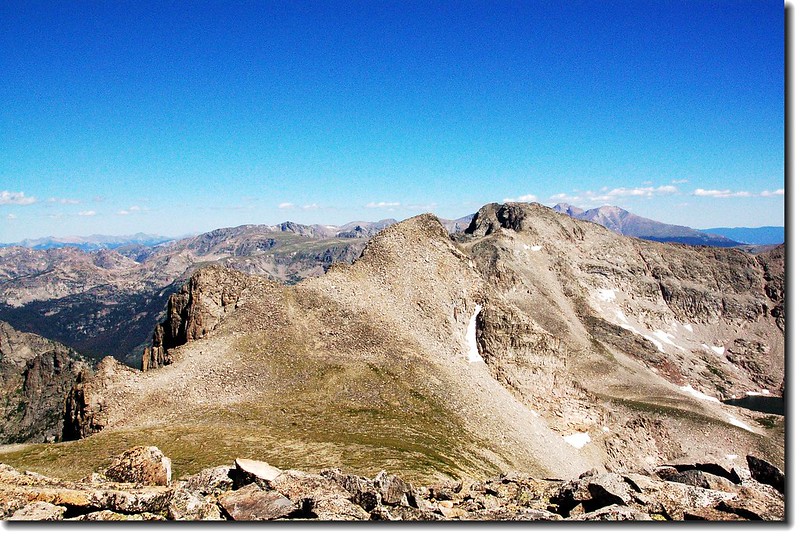
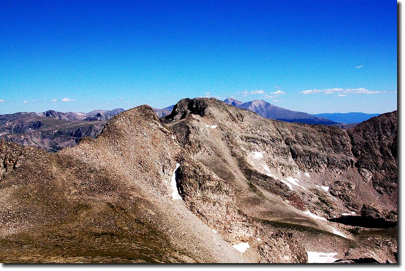
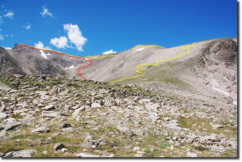
Shoshoni Peak位在Pawnee Pass的南方,要上此峰必須橫切Pawnee Pass南側12,878呎的無名山頭(Point 12’ 878’ )Point 12’ 878’整座山頭都是亂石坡,走起來小心翼翼的,我在11:40切到Point 12,878’Shoshoni Peak的鞍部,回望Point 12’ 878’和南眺Shoshoni Peak等群峰都有極佳的山景。

View to north from the gentle northern slopes of Shoshon (1)

Point 12,878'

View to north from the gentle northern slopes of Shoshoni Pe

View to north from the gentle northern slopes of Shoshoni

Navajo Peaks cone shaped summit peaking over Shoshoni-Point

Navajo Peaks cone shaped summit peaking over Shoshoni-Point 12,878' saddle

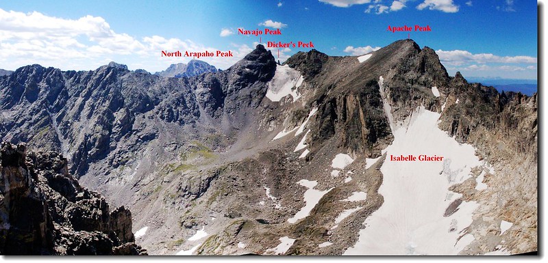
Navajo Peak, Dickers Peck, and Apache Peak from the gent (2)

Navajo Peak, Dickers Peck, and Apache Peak from the saddle


過了鞍部後便沿著Shoshoni Peak的西北坡直朝山頂爬升,這是一段緩坡好走的路段。

11:54 登頂Shoshoni Peak,海拔12,967 ( 3,952公尺)

On the summit of Shoshoni peak 2

On the summit of Shoshoni peak 


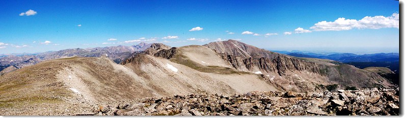
站在峰頂上東眺Brainard Lake Recreation AreaRed RockBrainardLongLake Isabelle等湖;南北則是洛磯山脈和印地安山群等諸名山,站在此有一種傲視山河的感覺。

Navajo Peak and Apache Peak from the summit of Shoshoni Peak

Navajo Peak(L) and Apache Peak(R) from the summit of Shoshoni Peak

View to south from the summit of Shoshoni peak 2 (2)

View to south from the summit of Shoshoni peak

View to north from the summit of Shoshoni Peak 4View to north from the summit of Shoshoni peak
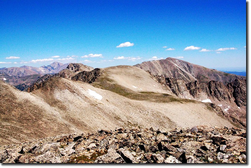
View to north from the summit of Shoshoni Peak 2

View to north from the summit of Shoshoni peak
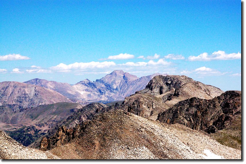
Longs peak from the summit of Shoshoni Peak

Longs Peak as seen from Shoshoni Peak

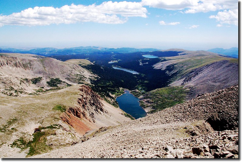
Lake Isabelle and Long Lake from the Peak of Shoshoni before

Lake Isabelle and Long Lake from Shoshoni Peak


12:15 下山,我循原路下切到Point 12,878’Shoshoni Peak的鞍部後,轉向右下在Shoshoni Peak的北坡朝東下切。

12:54 接到Pawnee Pass Trail,此地海拔約11,860呎。

Looking up at the route I just came down 2

回望下切路

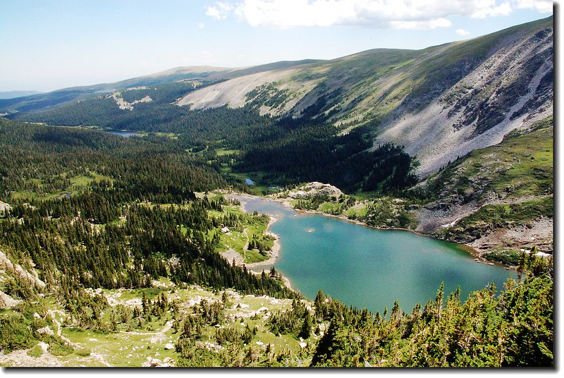
Lake Isabelle from the upper spot


Lake Isabelle from the upper spot


13:42 返抵Lake Isabelle

14:04 抵達Long Lake

14:30 返抵登山口,結束一天愉快的行程。