搜尋此網誌

2010/09/12

被Forest Service放棄的 Arapaho Lakes (2010.09.10)

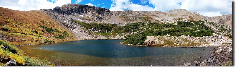
panorama of arapaho lake 2


上月底本計畫走此步道,但因錯過岔路而走到另一個湖[Forest Lakes( James Peak wilderness, Colorado)—2010.08.26],回家後再詳讀幾篇紀錄,確定路線後於昨日再單獨攀登。

---------------------------------------------------------------------------------------------------

步道全長(來回):7.1 哩(11.36公里)

登山口:East Portal Trailhead (海拔9,220呎/2,810公尺)

步道終點:Arapaho Lakes (海拔11,172呎/3,405公尺)

爬升高度:1,952呎/595公尺

登山口行車指南請瀏覽:Crater Lakes(2010.08.20)--行程篇

-------------------------------------------------------------------------------------------------

行程紀錄:

09:40   East Portal Trailhead出發,風好大,換上長褲。
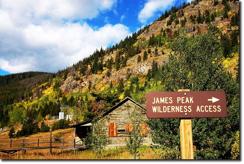
East Portal Trailhead


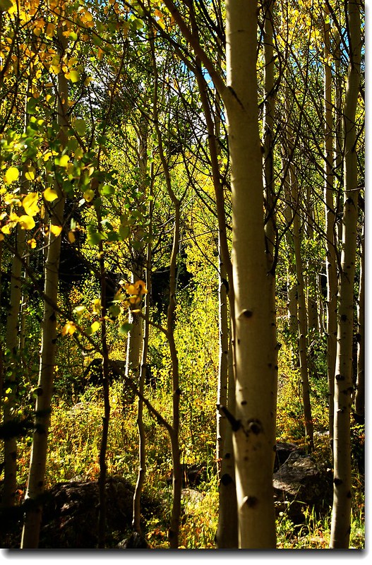
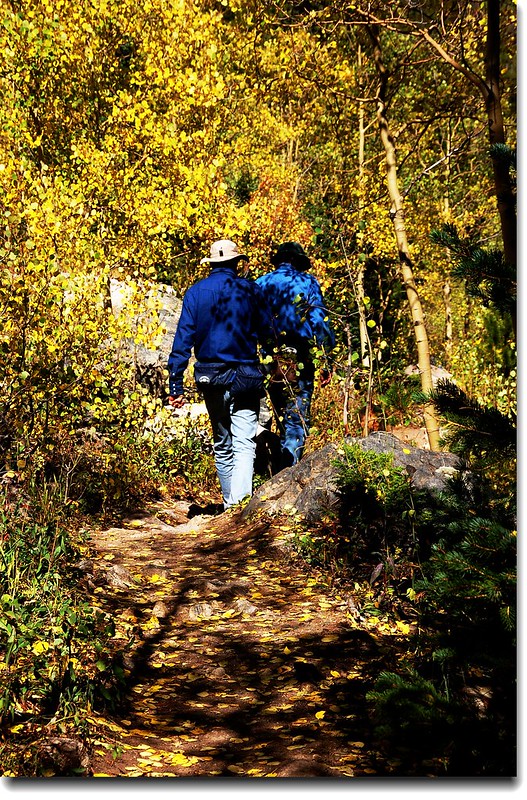
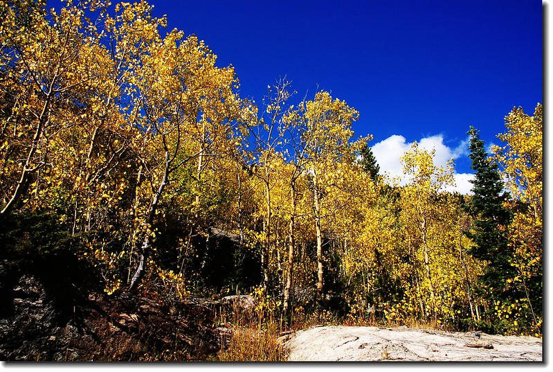
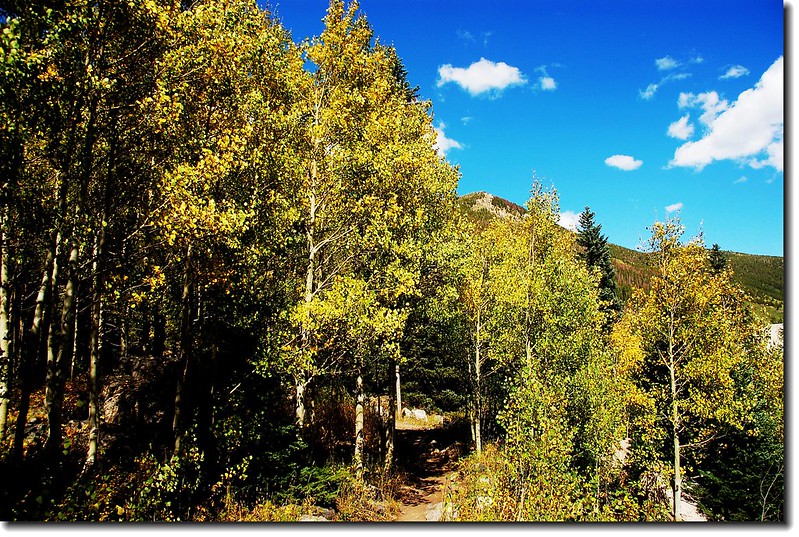
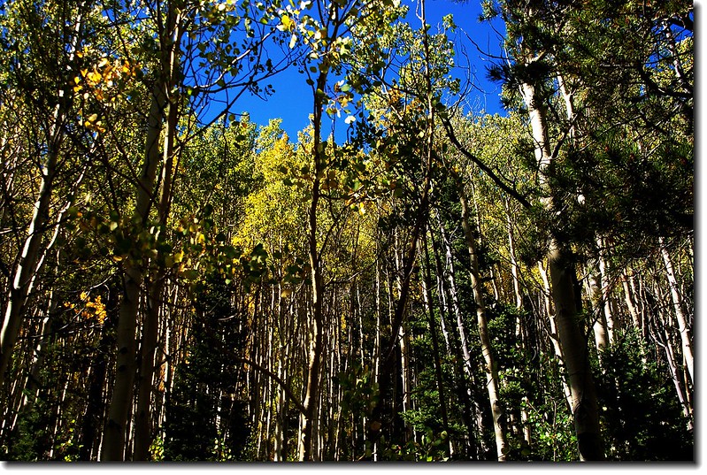
不到一個月第四度在此登山口登山,非常熟悉了!登山口入口處的白楊木(Aspen)葉子已開始轉黃,時序進入秋季,科羅拉多大地變裝秀即將登場!
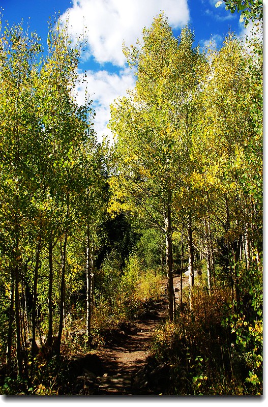
The Aspen leaves turn to golden gradually 1

The Aspen leaves turn to golden gradually 3

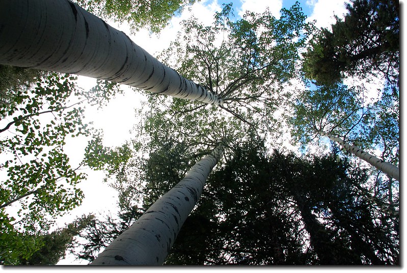
The Aspen stood along the trail

The Aspen leaves turn to golden gradually 5

The Aspen leaves turn to golden gradually 2

The Aspen leaves turn to golden gradually 4


10:08   抵達Arapaho Lakes 、Forest Lakes Trail 岔路(距登山口約1.25 哩,海拔約9,555呎),右往Arapaho Lakes 、Forest Lakes,左往South Boulder Creek TR、Crater Lakes TR,取右上行。

10:25   來到 Arapaho Creek,有一木橋橫跨而過(距登山口約1.75 哩,海拔約9,877呎)。

10:42   抵達Arapaho Lakes 和Forest Lakes 的岔路(距登山口約2.3哩,海拔約10,185呎),上次即在此錯過;看過的紀錄都說此處有一指示牌,但現已被拆掉,上次經過時往Arapaho Lakes的路口被一倒木擋住,以為是森林管理人員所為,所以沒往下探,今天來時倒木已被移走,路口旁也堆砌一堆石堆(cairn,作用等同台灣的路條,在美國登山步道沒有綁路條的習慣),仔細看在石堆旁有一凹洞,應是路標指示牌拔除的遺跡。右往Forest Lakes,左下往Arapaho Lakes,取左下,行約數十公尺步道往西緩升。
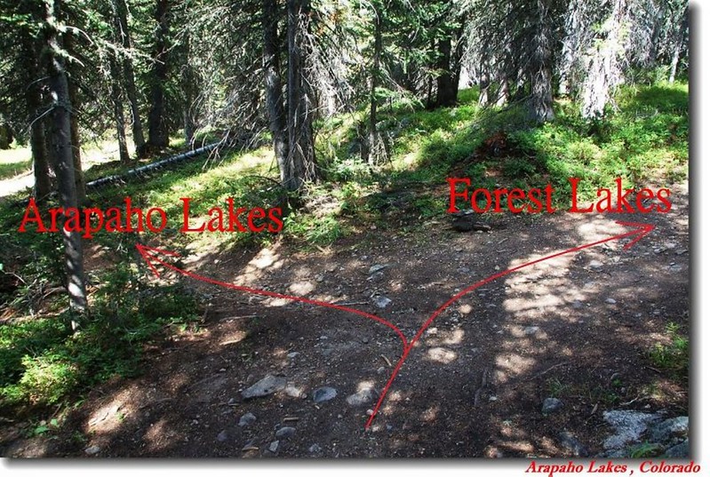
Arapaho Lakes & Forest Lakes Trail junction 1
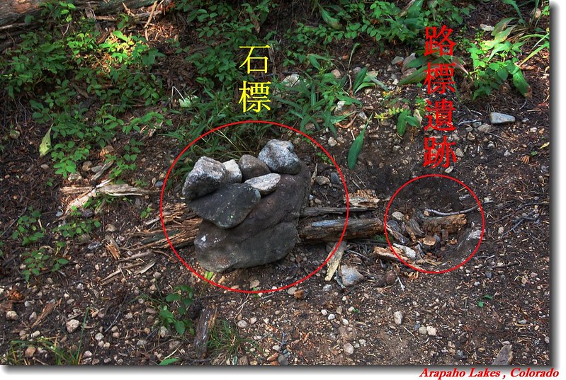
Arapaho Lakes & Forest Lakes Trail junction

Arapaho Lakes & Forest Lakes Trail junction 2

10:52    步道再度誇越 Arapaho Creek (距登山口約2.65 哩,海拔約10,299呎),此處是一緩平的山谷,步道在林中緩平前進約一百多公尺後開始上升,要說此登山步道有點難應是指這一段吧,約0.5哩爬升約680呎,換算公制是距離800公尺爬升約210公尺,雖有點陡,但步道清楚沿著小溪流攀升沒想像中的難找,我實在找不出理由說要把路標拔除、且不鼓勵山友攀登(它並不是政策性的封山禁止攀登,而是主管單位不再維修此步道而不鼓勵山友攀登)。
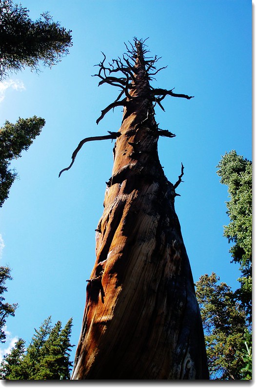
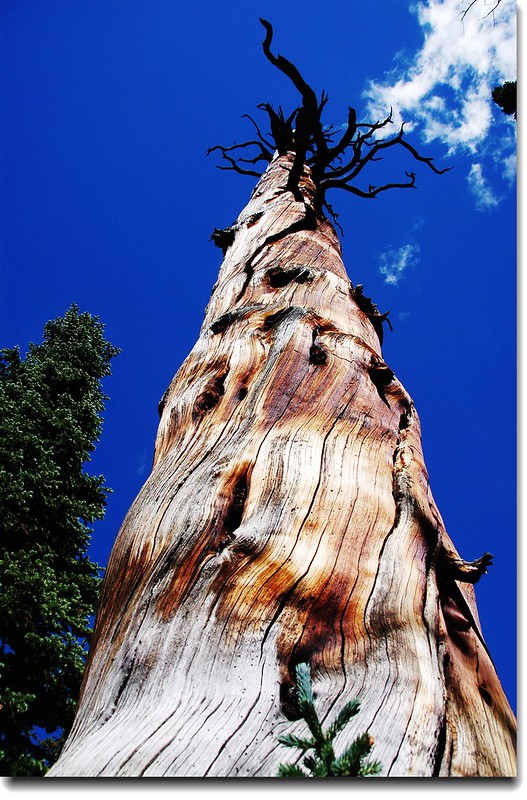
Dry tree 2

Dry tree 1

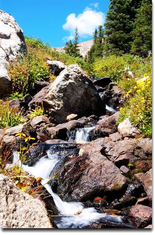
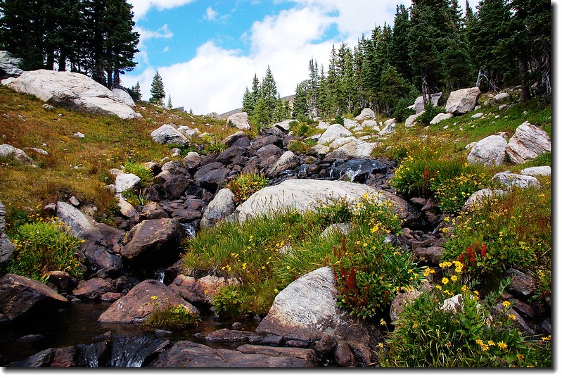
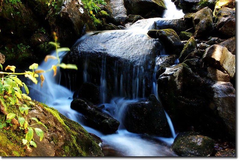
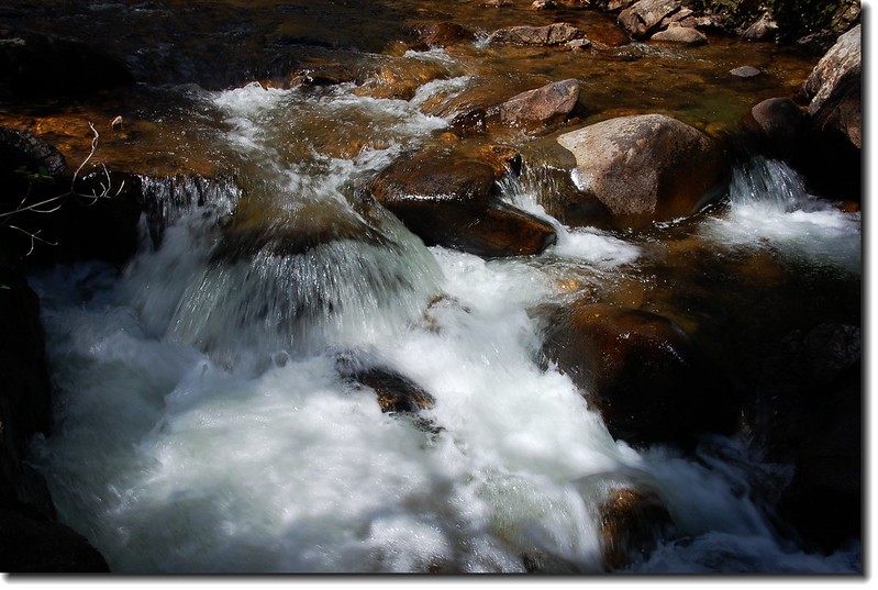
Cascade along the trail 2

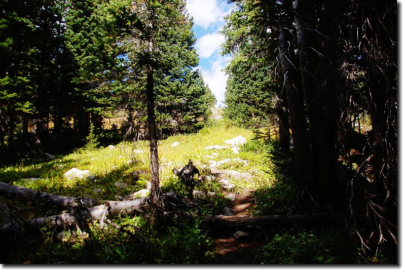
Arapaho Lakes trail

Arapaho Lakes trail

Cascade along the trail 1

The view taken below upper-valley

The view taken from below upper-valley

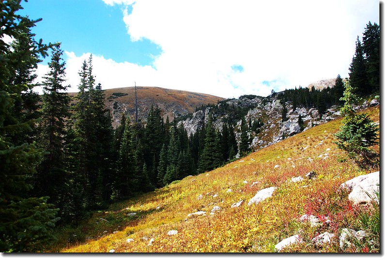
11:25  抵達山頂下一片平坦山谷,山谷長滿矮灌木Willow,此處海拔10,960 呎,距登山口 3.2 哩。向東俯眺隱約可見來時路Rollins Pass,步道沿著山谷平緩前進,近目的地前約數百公尺再上一小坡即抵達第一個Arapaho Lake。
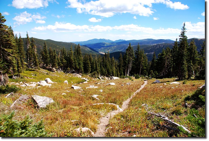
Look back down trailhead from upper valley
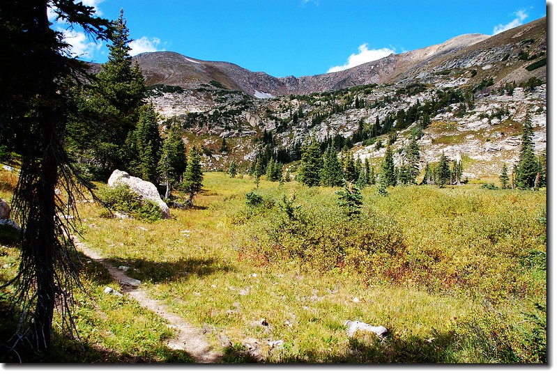
Look back down trailhead from upper valley

The upper-valley below Arapaho lakes
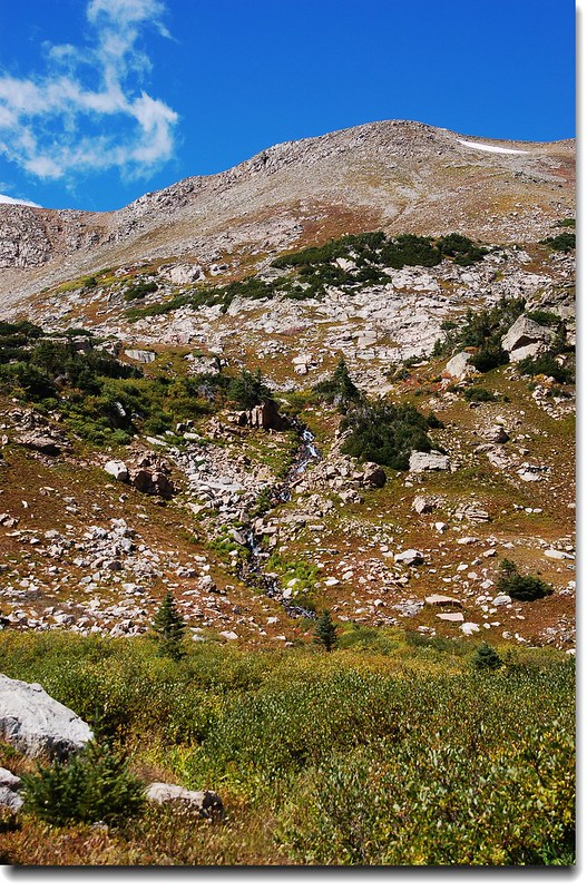
The upper-valley below Arapaho lakes
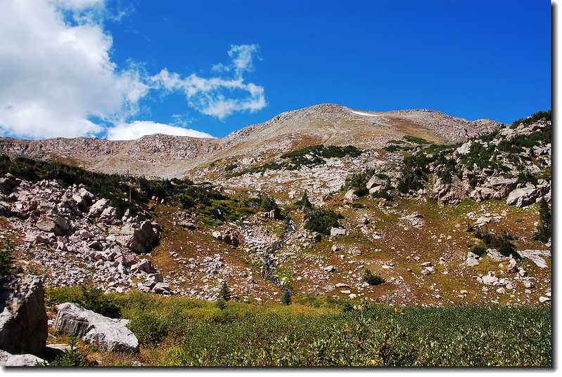
The upper-valley below Arapaho lakes 1

The upper-valley below Arapaho lakes 2

The upper-valley below Arapaho lakes

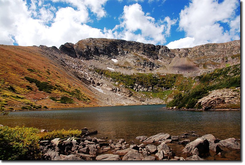
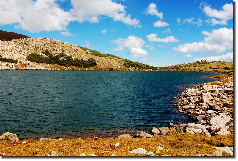
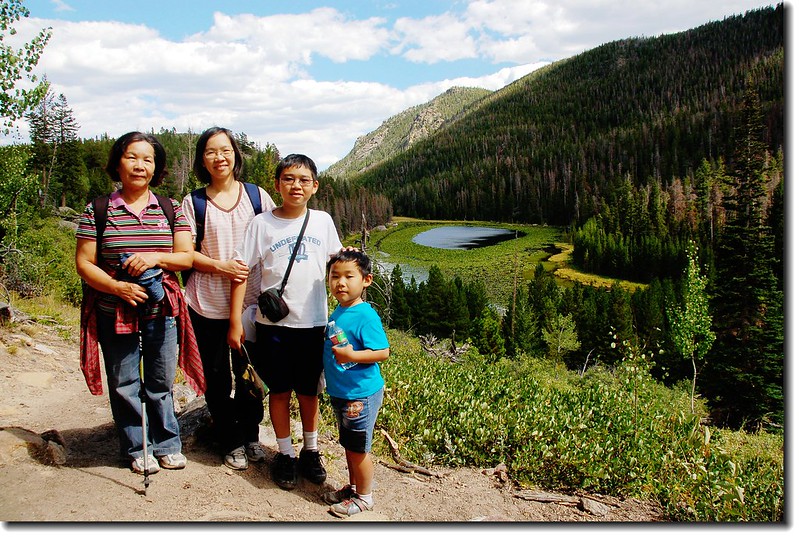
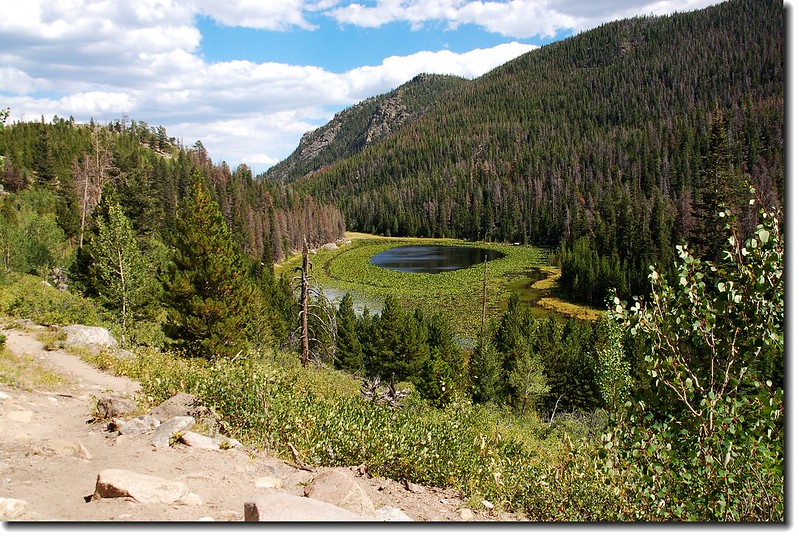
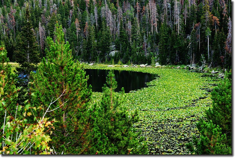
11:37  抵達第一個Arapaho Lake ,海拔11,172 呎,距登山口3.55 哩。
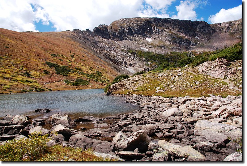
1st Arapaho Lake 51st Arapaho Lake 4

1st Arapaho Lake 3


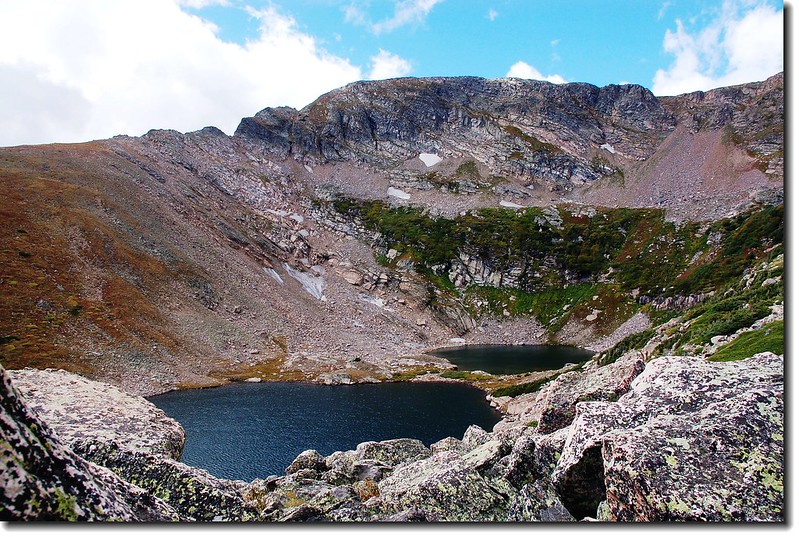
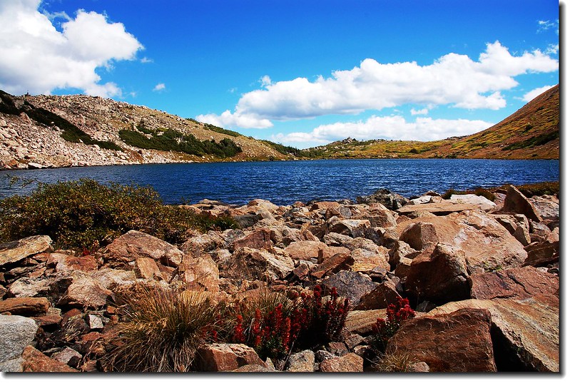
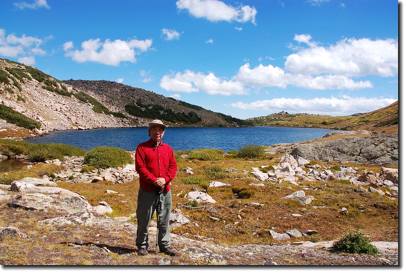
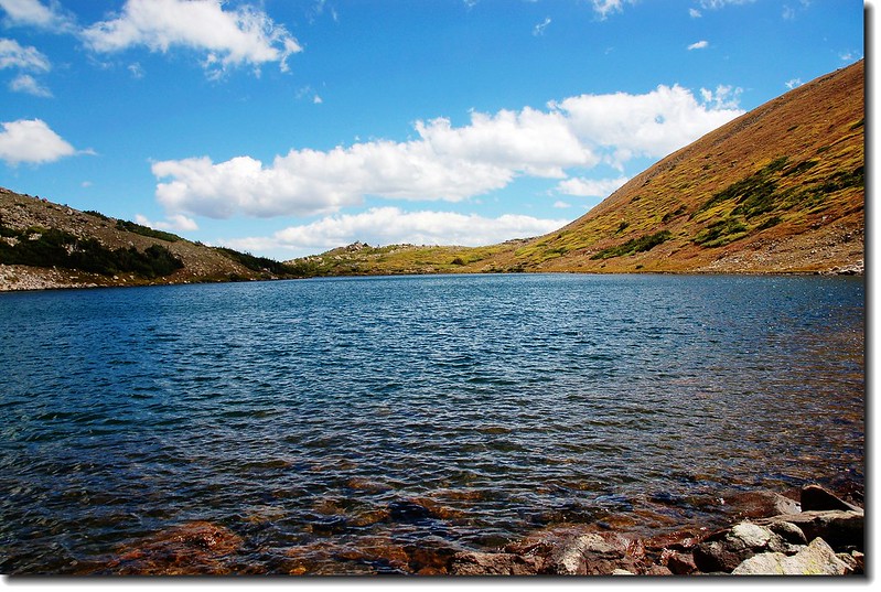
Arapaho Lakes 從地圖上看是四個湖群,最東邊的小湖海拔約10,750呎,最西邊的小湖海拔約11,640呎,但這兩個小湖少人提及,一般登山客僅到中間的兩個湖,這兩個湖是連在一起的,中間只隔一寬約10公尺的陸地,第一個湖(東)比第二個湖(西)大很多。奇萊東稜在磐石西峰前有一個營地,山友因其營地有一小小看天池形似驚嘆號而取名為“驚嘆號”營地,若依此,這兩個湖該稱它們為“疑問湖”了,因這兩個湖也形似一個疑問號,而第二個湖(西湖)就是那一問號的一小點!
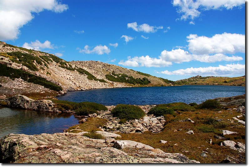
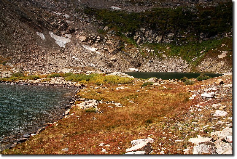
 

Arapaho Lakes 3

Arapaho Lakes 2

Arapaho Lakes的北岸是一大片崢嶸嶙峋的石山,我試圖爬上稜線去找最西邊的一個湖,但到達稜線後看到那遙遠的巨石路而放棄;
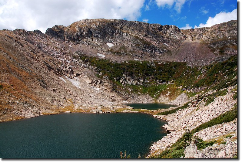
Looking down Arapaho lakes from north shore ridge
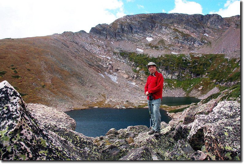
Arapaho Lakes 1

Looking down Arapaho lakes from north shore ridge

On the north shore ridge of Arapaho lakes
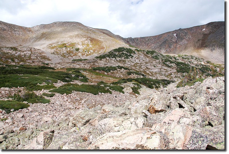
On the north shore ridge of Arapaho lakes

Above Arapaho Lake's north shore view to northwest

Above Arapaho Lake's north shore view to northwest


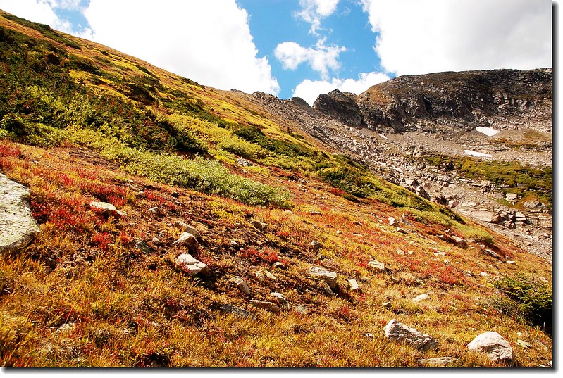
根據他人記錄越過湖的南岸山稜可下達上個月20日去過的Crater Lakes,此山稜約有四分之一哩路,爬升約四百多呎,問題是從山稜要下南邊的Crater Lakes聽說不太好下,本想來一個“O”形縱走,遊走七大湖,但終究因怕趕不及回去接孩子們下班、放學而作罷,在湖邊環湖一周,停留一個多小時 後下山。
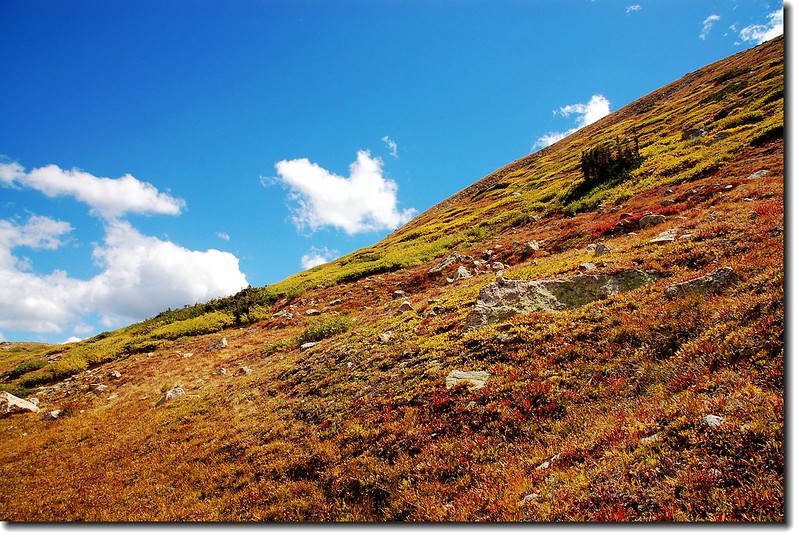
Arapaho Lakes south ridge 2
Arapaho Lakes south ridge

Arapaho Lakes south ridge 1
Arapaho Lakes south ridge

1st Arapaho Lake 2

1st Arapaho Lake 1

1st Arapaho Lake

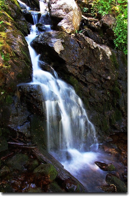
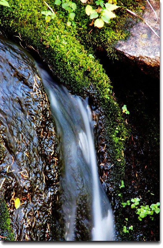
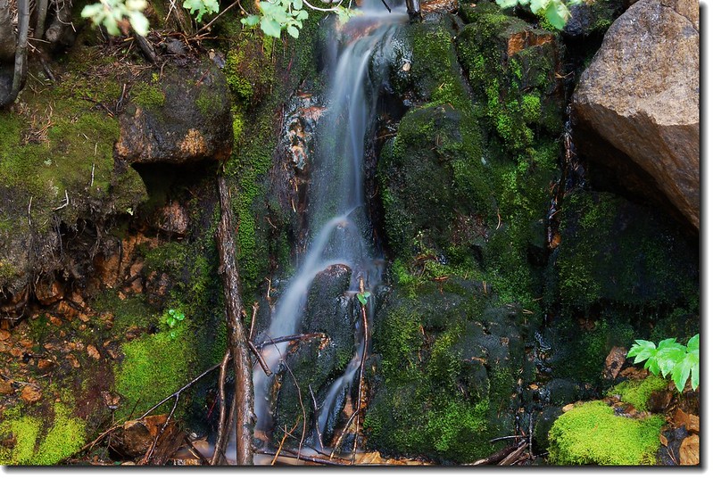
12:45 下山,沿途為了拍小流瀑用去不少時間。

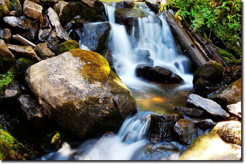
Cascade along the trail 3

Cascade along the trail 5

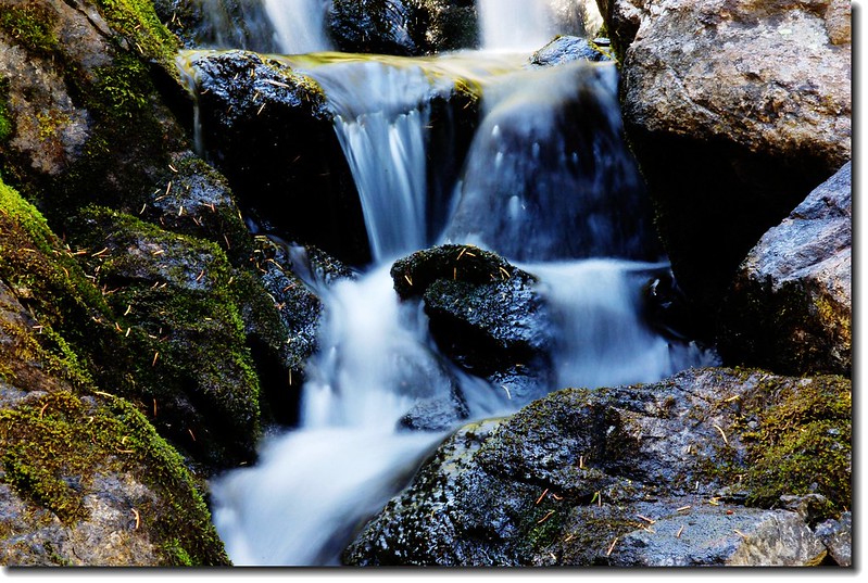
Cascade along the trail 7

Cascade along the trail 6

Cascade along the trail 4

13:40  抵達第二個跨越 Arapaho Creek 的木橋。

13:48  抵達Arapaho Lakes 和Forest Lakes 的岔路,再多看幾眼這個讓我錯過一次的岔路口後右轉下山。

14:02  抵達第一個跨越 Arapaho Creek 的木橋。

14:16  抵達Arapaho Lakes 、South Boulder Creek Trail岔路,取左下山。

14:50  回到登山口,也完成此登山口所有步道的登山健行,下次有時間真想由此再走走Rogers Pass,順登13ers—James Peak(13,294’)!
 

Fireweed 1Fireweed

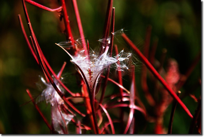
Fireweed gone to seed

Fireweed gone to seed

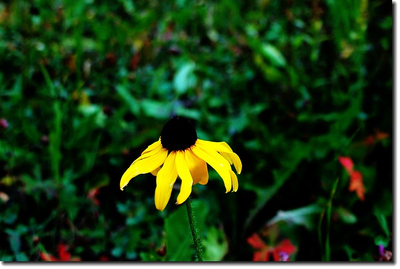
Wildflower 

# 本登山步道相關登山紀錄:

(一)、Arapaho Lakes : 7.1 miles

(二)、Get Outside! Hiking Arapaho Lakes


# 本登山口相關步道景點遊記:

(一)、Crater Lakes(2010.08.20)--行程篇

(二)、Forest Lakes( James Peak wilderness, Colorado)—2010.08.26

(三)、獨登 Rogers Pass Lake and Heart Lake(2010.09.01)

2010/09/07

Hike the Cub Lake Loop Trail in RMNP (2010.09.04)

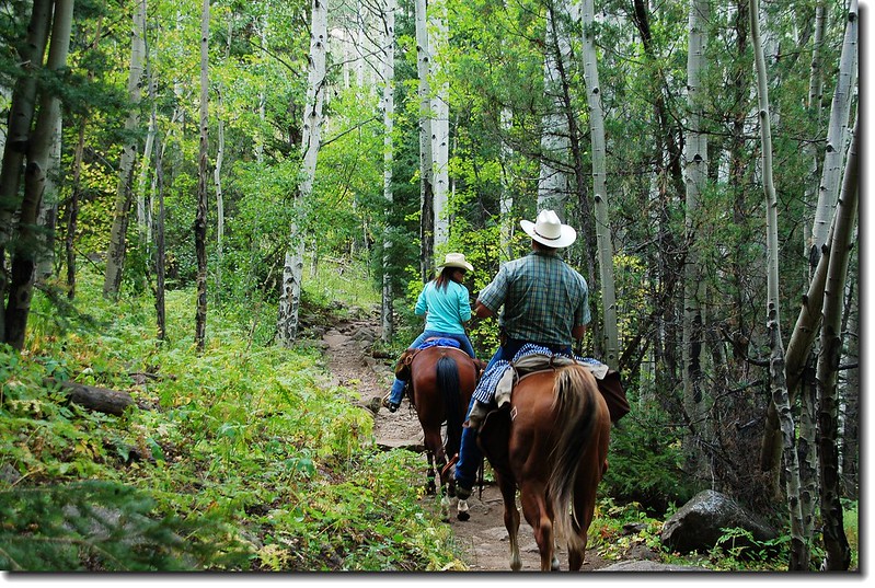
Rider 1
行程紀要:
登山口:Fern Lake Trailhead bus stop (8,155 ft.)
The Pool:2.3哩(8,400 ft.)
Cub Lake:3.5哩(8,620 ft.)
Cub Lake Trailhead:5.8哩(8,080 ft.)
Fern Lake Trailhead bus stop:6.0哩(8,155 ft.)
爬升高度:約650呎
花費時間:5小時

-------------------------------------------------------------------------------------------------------
9月6日是美國的勞動節(每年九月的第一個星期一),所以這個週末就是所謂的Long Weekend,本計畫到猶他州的錫安國家公園(Zion National Park)走走,但因計畫太晚而取消,只好帶著孩子們往洛磯山國家公園走,今天預計由Moraine Park 的Fern Lake Trailhead起登,經The Pool 到達Fern Lake再原路下山。這一條路線許多遊客是採取開車到Bear Lake,然後沿Odessa Lake Trail爬升一段路後一路下坡走訪Lake Helene、Odessa Lake、Fern Lake,再接Fern Lake Trail回到Fern Lake Trailhead轉搭免費的園區車回到Bear Lake,全程約8.5哩,而且大部分是下坡路段,安排一天的時間是一趟不錯的健行路線。
今天出門晚,到達登山口已將近11點,我們將車子停在距登山口約0.6哩處的園區免費巴士停車站的停車場,由此開始起登。
11:09 Fern Lake Trailhead 園區免費巴士停車站啟程(8,155 ft.),車子應可開到登山口,但停車位有限,根據經驗假日這個時間開進去以後再開出來的機率頗高。

Fern Lake Trail 1
Aspen along the trail

11:29 Fern Lake 登山口 (8,165 ft.),估算無誤,停車位已滿。
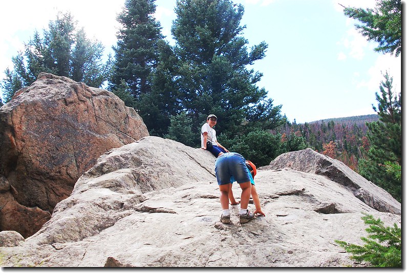
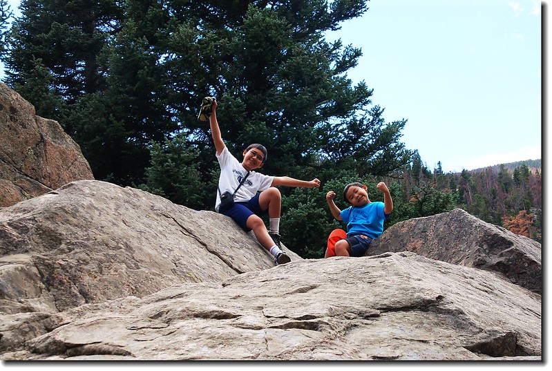
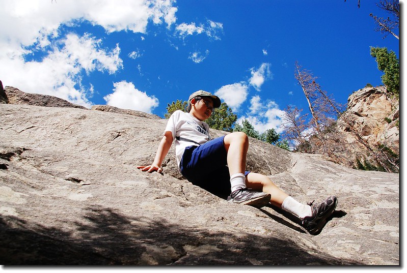
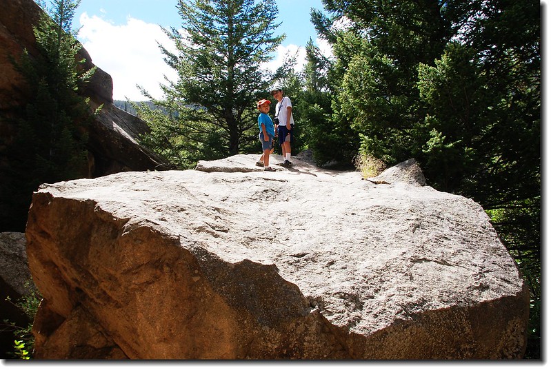
12:00 行經Arch Rocks,幾顆巨石矗立兩側,許多孩子就在此地“攀岩”,豆豆‧貝貝也不例外,在此休息一、二十分鐘。

Rocks by the trail 1
Rocks by the trail 2
Rocks by the trail 3
Rocks by the trail 4
Fern Lake Trail 2

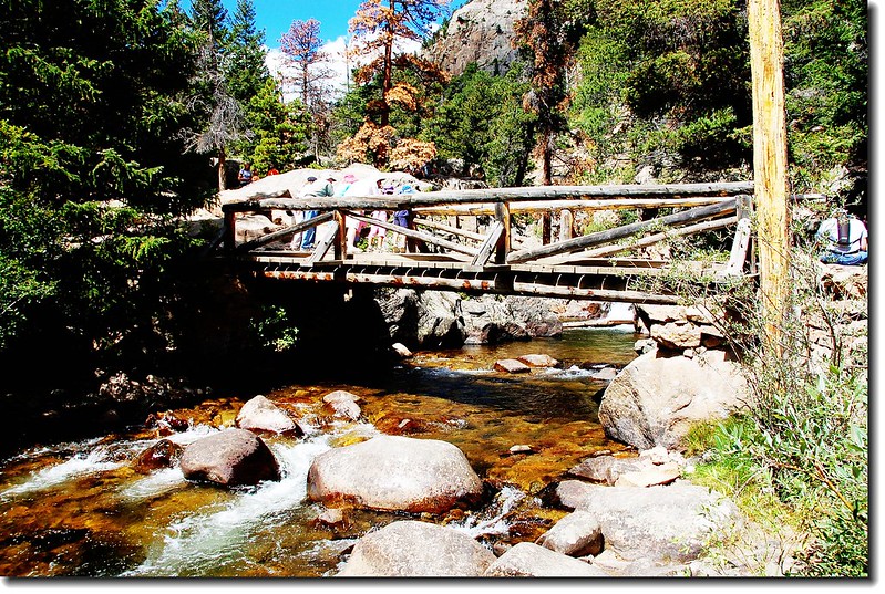
12:33 抵達The Pool (8,400 ft. ),一座木橋橫跨Big Thompson River,山上積雪幾乎融光,所以水量太小、顯不出那種磅礡的氣勢,在此午餐休息。

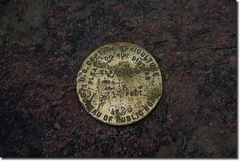
Benchmark at The Pool
The Pool 1
The Pool 2
The Pool 3
The Pool 4
The Pool 5
Big Thompson River
Big Thompson River 1


13:18 續行,到Fern Lake還有2.1哩,而且要爬升一千一百多呎,孩子們有點不想爬,臨時決定左轉改走Cub Lake Trail,經Cub Lake 下山。此段路到Cub Lake 約1.2哩,緩上坡,行來輕鬆。

Cascade by the trail 3
Cascade by the trail 1
Cascade by the trail 2
Cascade by the trail 4


13:57 抵達Cub Lake & Mill Creek Basin Trail 的岔路,此地是此步道最高點(8,725 ft.),距Cub Lake僅剩0.2哩,右岔往Mill Creek Basin,取直行,隨即俯瞰整個Cub Lake,此地是Cub Lake西岸置高點。

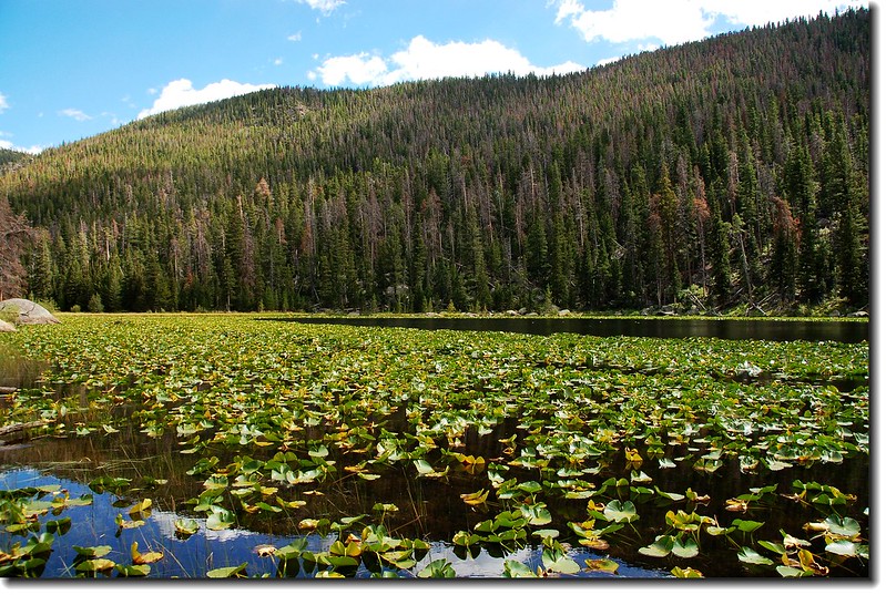
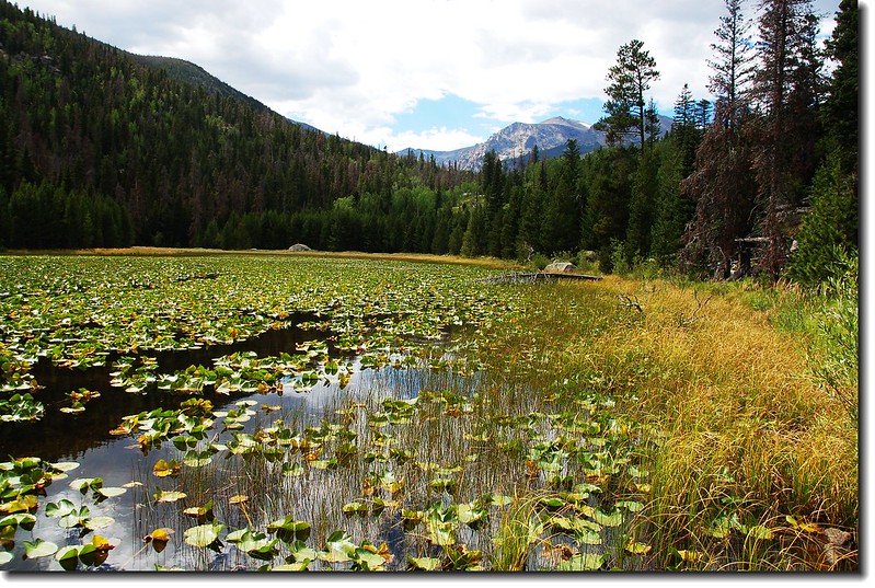
Cub Lake
Looking back down on Cub Lake


14:13 抵達Cub Lake (8,620 ft.),幾天前才和太座來過,稍事休息後由出水口(東北岸)下山。
Cub Lake 1

Cub Lake 2
Cub Lake 3
Cub Lake and Stones Peak
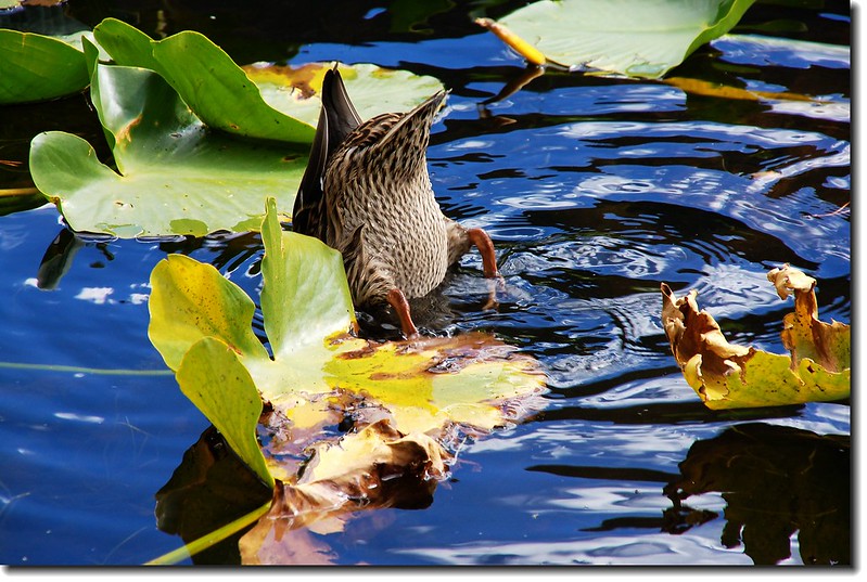
Upside down
Upside down
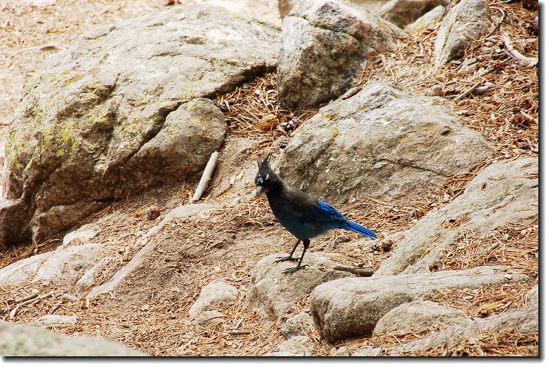
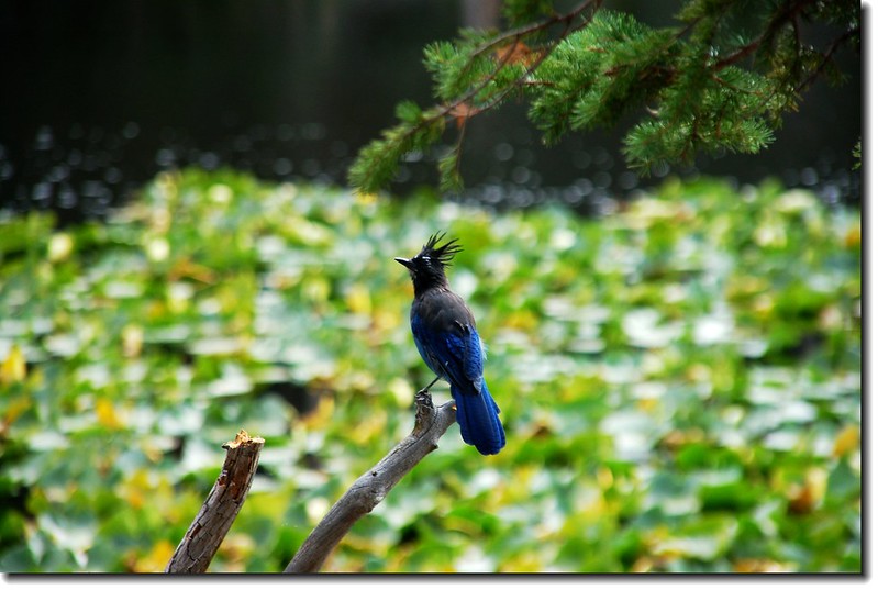
Steller's Jay 1
Steller's Jay 2
Steller's Jay
Rider 2


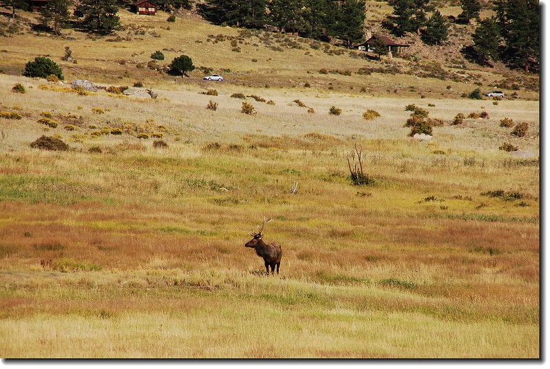
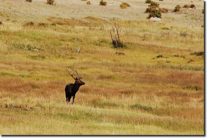
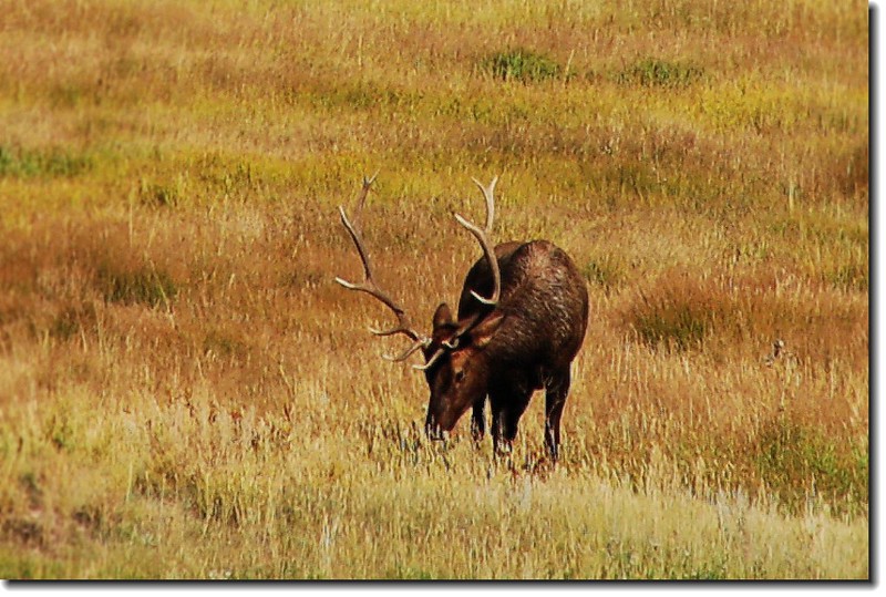
16:00 抵達Cub Lake Trailhead (8,080 ft.),續沿車道前往停車處取車,完成一“O”形健行。回程時僅在Moraine Park大草原中看到一隻Elk,形單影隻,在這個時節、這個時段實在很反常!

Elk in Moraine Park 1
Elk in Moraine Park 2
Elk in Moraine Park 3
Elk in Moraine Park 4