搜尋此網誌

2018/07/28

攀登科羅拉多James Peak wilderness區內的Forest Lake(2018.07.27)

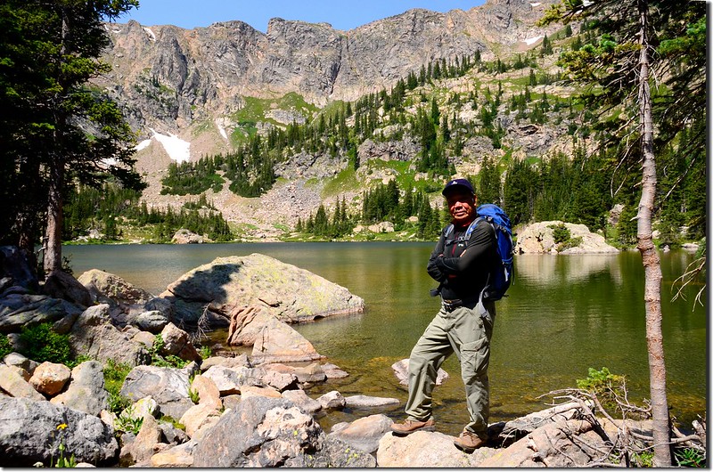
Upper Forest Lake (9)


攀登湖泊:
Lower Forest Lake :海拔10,670 /3,252公尺
Upper Forest Lake :海拔10,852/3,308公尺
登山口East Portal Trailhead(海拔約9,220/2,810公尺)
登山里程:全程來回加環湖約8.5(13.6公里)
總爬升高度:約1,867(569公尺)
登山時間6小時40
~~~~~~~~~~~~~~~~~~~~~~~~~~~~~~~~~~~~~~~~~~~~~~~~~~~~~~~~~~~~
行車資訊:
BoulderBoulder Canyon Road(CO 119)西行,16哩後抵Nederland小鎮,接Peak To Peak景觀公路(CO 119, CO 72)南下,行4.8哩抵Rollinsville,右轉E. Portal road (Rollins Pass)西行,約7.5哩後行車終點(Moffat Tunnel)即為登山口,此處是Union Pacific Railroad火車隧道的東入口。
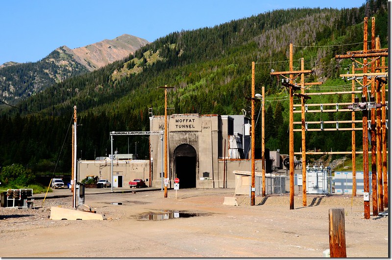
Moffat Tunnel(Union Pacific Railroad)


如從Golden開車可沿CO 119CO 72北上,抵Rollinsville再左轉E. Portal road (Rollins Pass)西行抵登山口。


步程簡述:
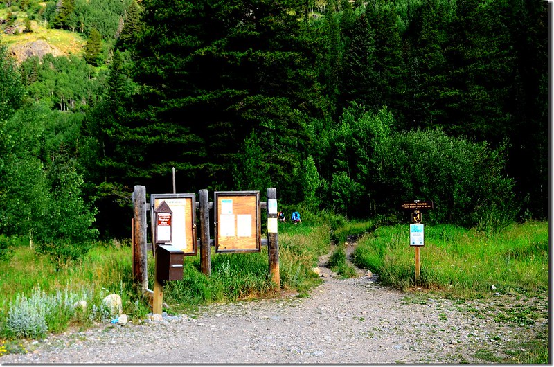
08:35 登山口East Portal Trailhead出發,海拔約9,220/2,810公尺。
East Portal Trailhead
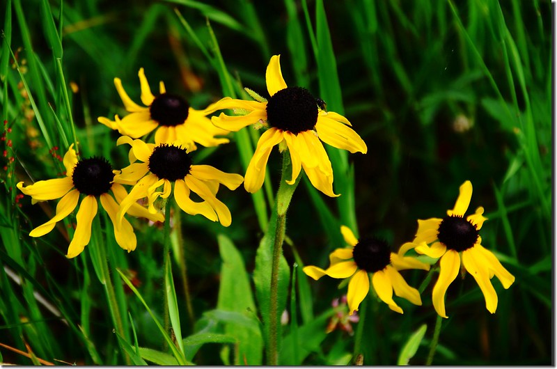
Black eyed susan
Black eyed susan


08:45 抵達James Peak Wilderness 界牌,進入James Peak Wilderness 範圍,距登山口0.25 哩。
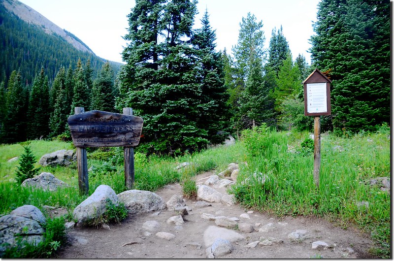
James Peak Wilderness backcountry board
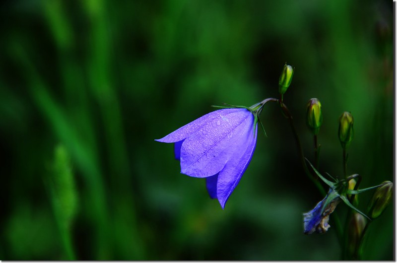
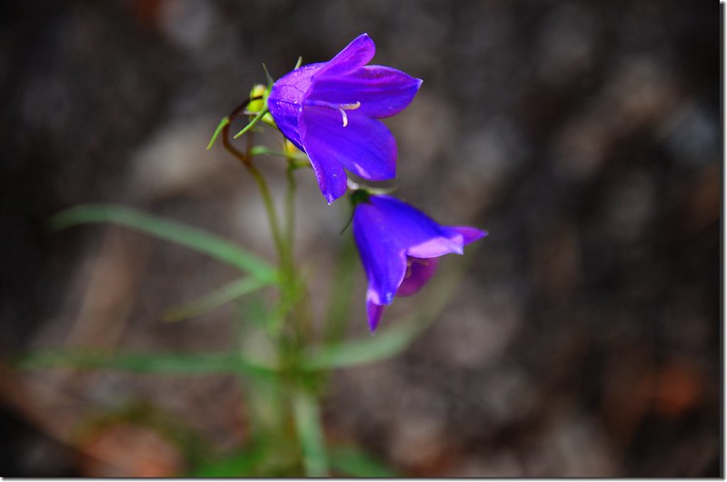
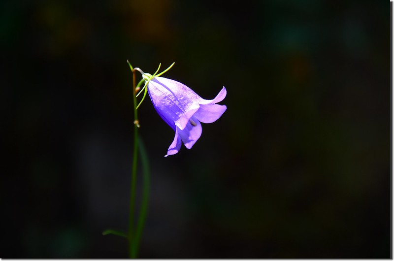
Mountain Harebell (1)
Mountain Harebell (2)
Mountain Harebell (3)
Mountain Harebell
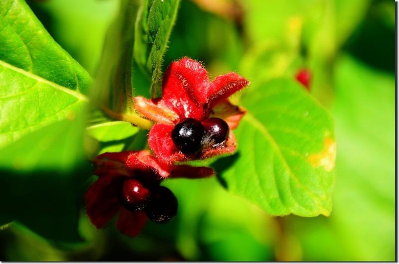
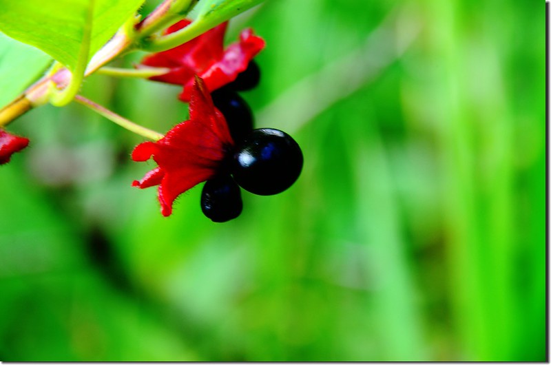
Bracted Honeysuckle(Twinberry honeysuckle) (2)
Bracted Honeysuckle(Twinberry honeysuckle) (3)
Bracted Honeysuckle(Twinberry honeysuckle)


09:20 抵達Arapaho LakesForest Lakes Trail South Boulder Creek TrailCrater Lakes Trail的岔路,海拔9,555/2,912公尺,距登山口1.25哩;
Crater Lakes & Forest Lakes Trail junction


取右上往Arapaho LakesForest Lakes Trail。步道寬敞筆直,兩旁是杉木林。

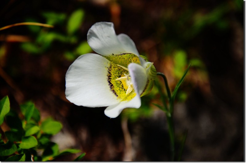
Sego Lily
Sego Lily


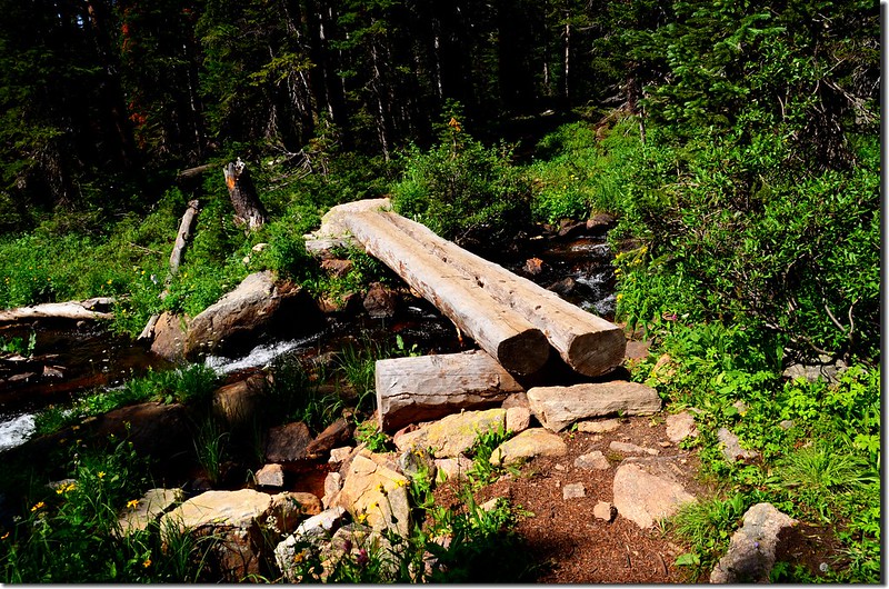
09:40 來到 Arapaho Creek,有一木橋橫跨而過,木橋有點毀損,原有的木欄杆已不見,但通行無礙,此處海拔 9,877/3,011公尺,距登山口約1.75 哩;
Crossing log bridge at Arapaho Creek


過了木橋後步道沿著Arapaho Creek右岸陡升,一路在杉林中穿行,途中兩度經過Arapaho Lakes Trail的岔路,但已荒廢且以倒木擋住,應已封閉;早在8年前登Arapaho Lakes時就有國家森林管理員宣稱Arapaho Lakes Trail不再繼續維護,也不再推薦給登山客,或許這岔路口的指示牌早被拆除荒廢了。
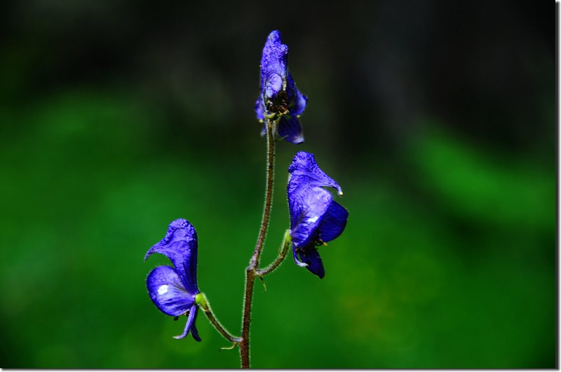
Monkshood
Monkshood


10:39 通過橫跨在Lower Forest Lake 出水口的木橋,海拔10,664/3,250公尺,距登山口3.15哩;
A footbridge crossing over the outlet of Lower Forest Lake


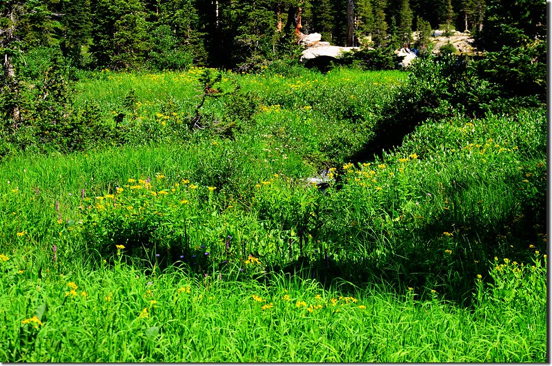
沿著出水口經過野花盛開的沼澤地前往Forest Lake

The outlet of Lower Forest Lake
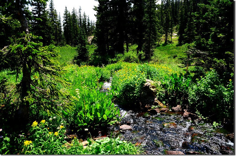
Wildflowers are blooming along the trail (1)
Wildflowers are blooming along the trail


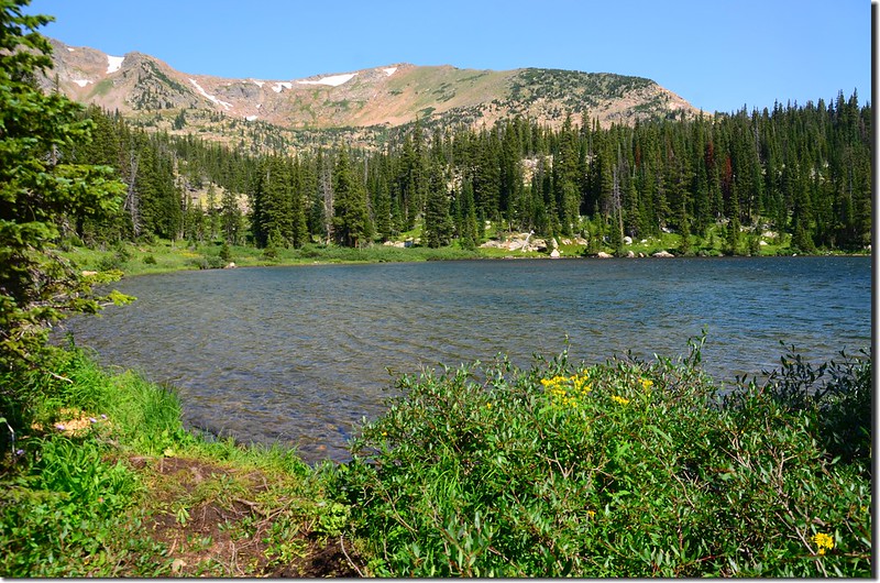
10:45 抵達Lower Forest Lake 南岸,海拔10,670 /3,252公尺,距登山口約3.25哩。
Lower Forest Lake  (2)
Lower Forest Lake  (3)
Lower Forest Lake  (1)
Lower Forest Lake 


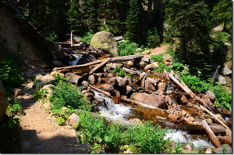
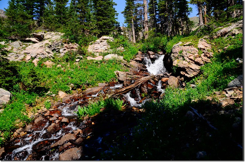
11:00 離開Lower Forest Lake南岸後沿著小徑往西岸,然後沿湖岸穿過松林北行,出松林後經過Lower Forest Lake進水口旁沼澤地的木板橋,然後左切沿著小溪流瀑上山前往Upper Forest Lake,此處海拔10,700/3,261公尺,距登山口約3.4哩;小徑左側小溪形成一處不小的流瀑。
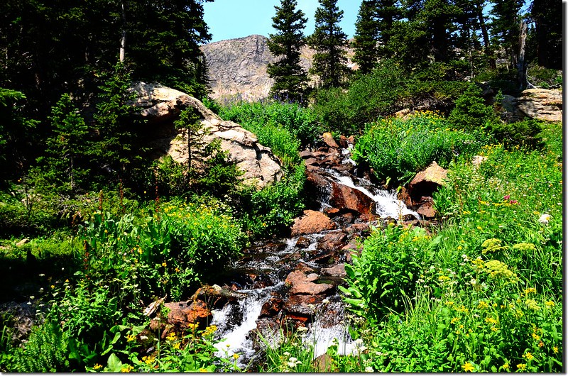
This cascade above Lower Forest Lake (2)
This cascade above Lower Forest Lake


Lower Forest LakeUpper Forest Lake大約有0.5哩的路程,爬升約200/61公尺,沿著小溪行數十公尺後脫離小溪右往高處爬升,不久經過一處岩石坡後上到步道的高處。
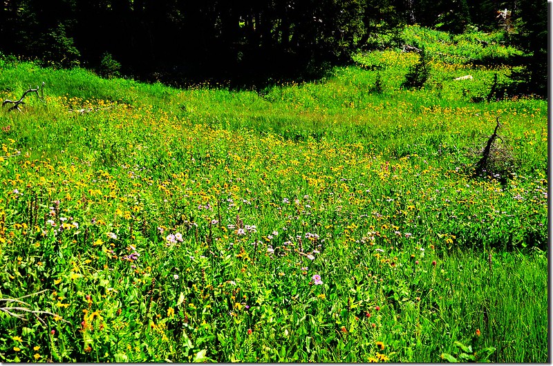
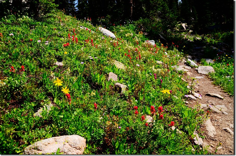
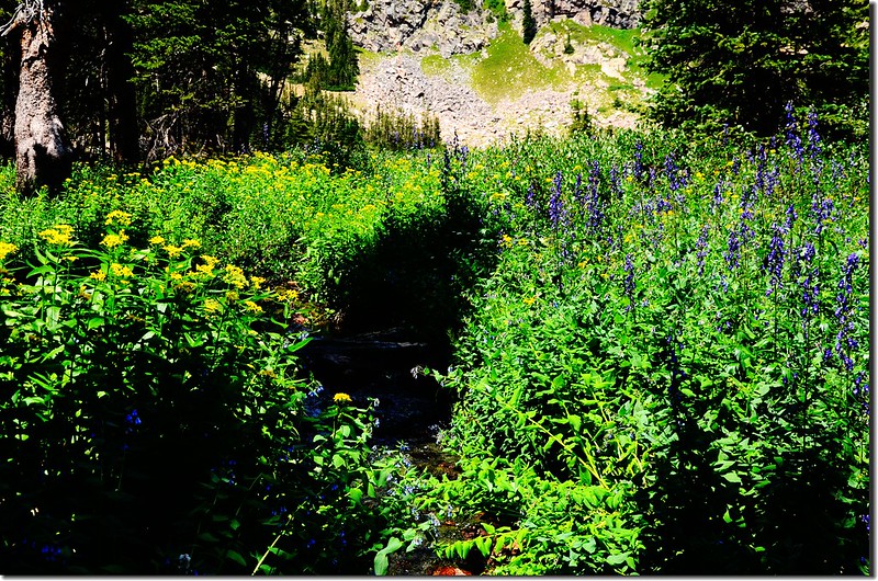
Wildflowers are blooming along the trail (2)
Wildflowers are blooming along the trail (3)
Wildflowers are blooming along the trail


11:20 抵達Forest Lakes上方高點岔路,海拔10,860/3,310公尺,距登山口約3.8哩;右岔往Rollins Pass Road,取左岔下切往Upper Forest Lake
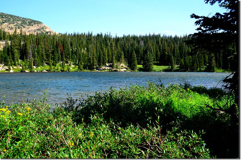
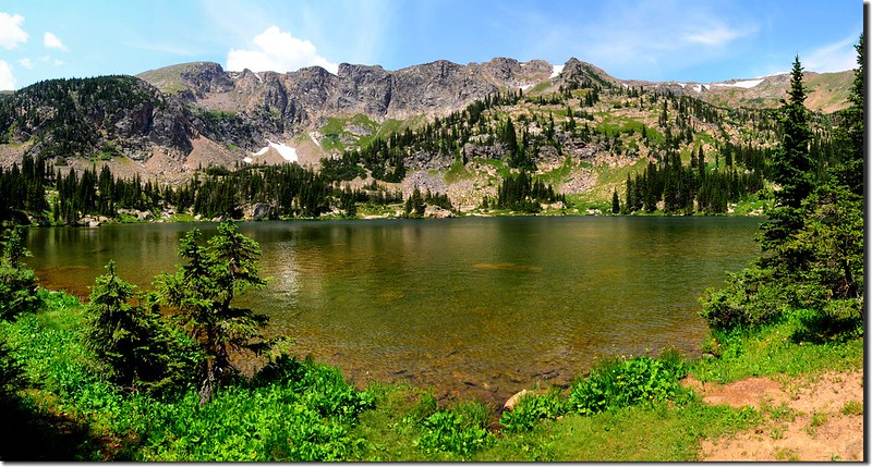
11:25 抵達Upper Forest Lake東岸,海拔10,852 /3,308公尺,距登山口約3.9哩;
Upper Forest Lake
Upper Forest Lake


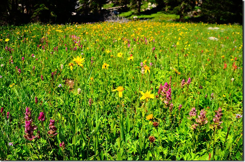
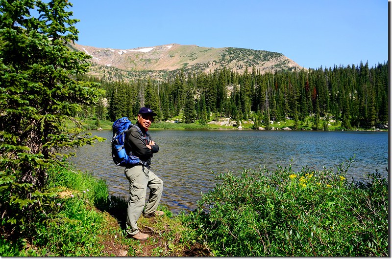
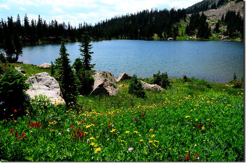
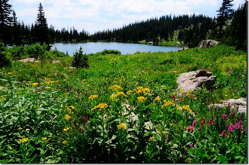
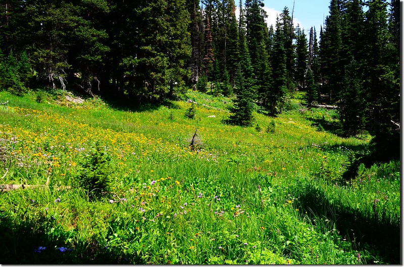
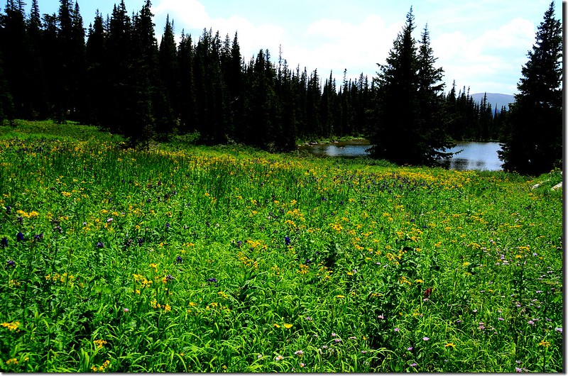
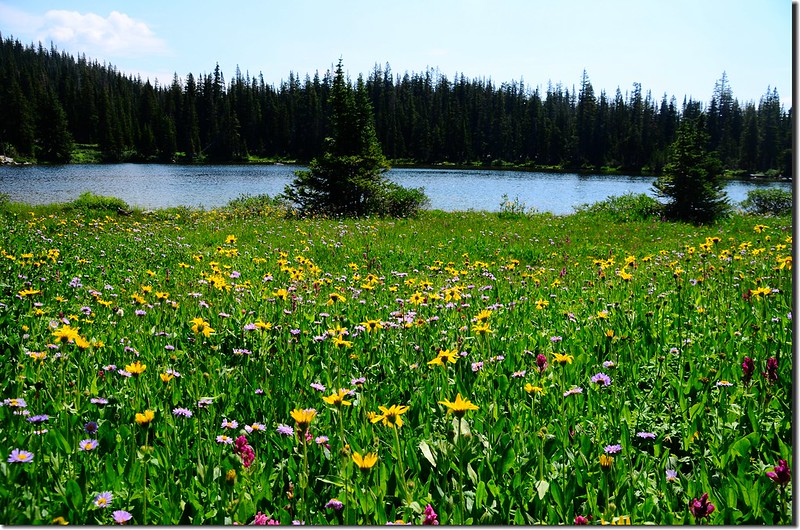
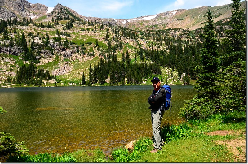
我取逆時鐘方向環湖一圈,湖岸野花盛開,美不勝收;
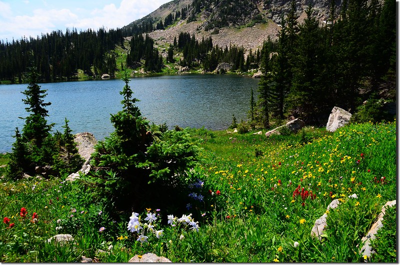
Upper Forest Lake (1)
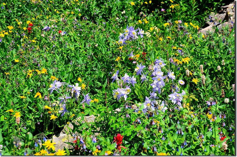
Upper Forest Lake (5)
Upper Forest Lake (6)
Upper Forest Lake (7)
Upper Forest Lake
Wildflowers are blooming along the trail (4)
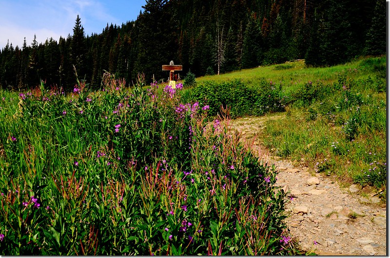
Wildflowers are blooming along the lakeshore 
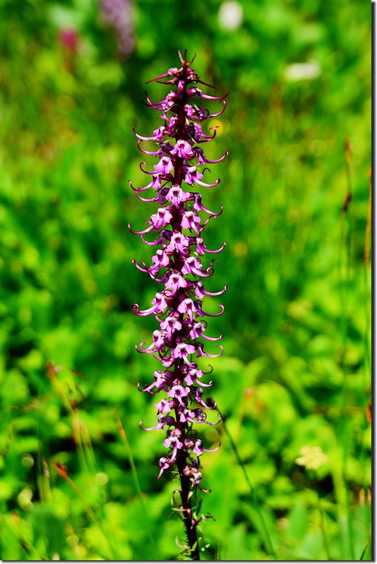
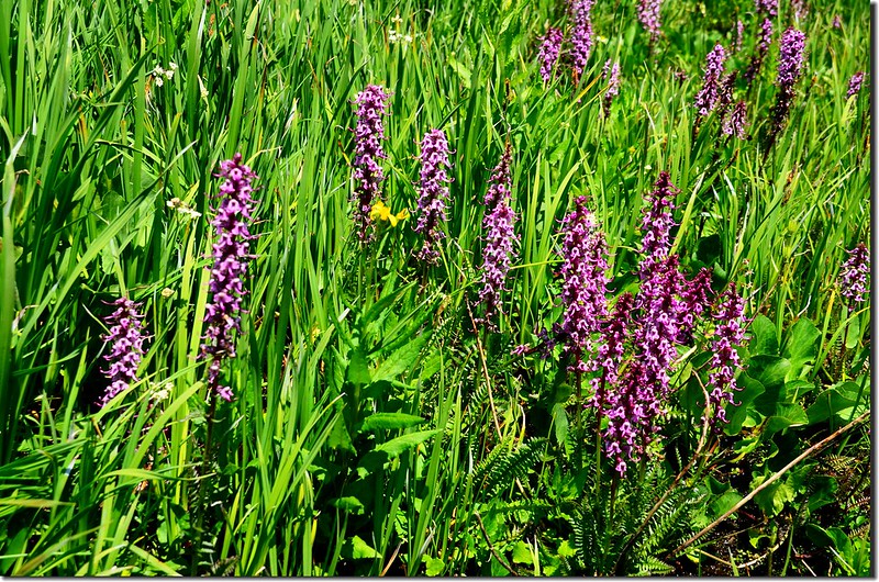
Elephant head flower (3)
Elephant head flower (2)
Elephant head flower (1)
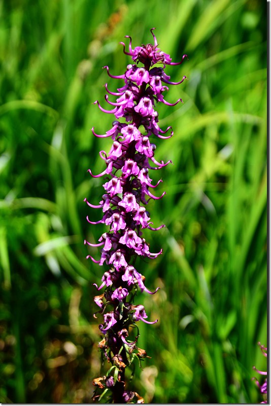
Elephant head flower


湖岸有幾頂帳篷在此露營、垂釣!
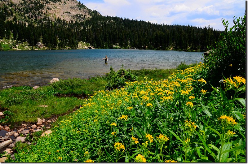
Upper Forest Lake (8)
Upper Forest Lake


12:25 抵達Upper Forest Lake東南角出水口,附近都是沼澤地,同樣的野花盛開;
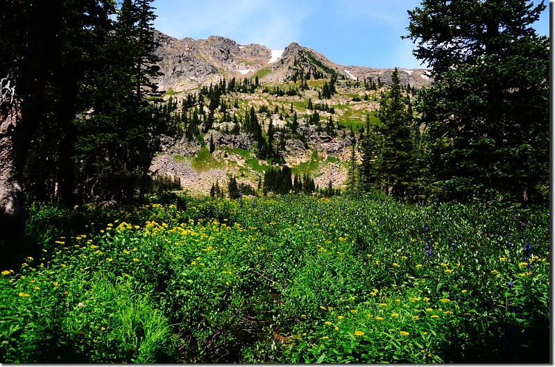
The outlet of Upper Forest Lake (3)
The outlet of Upper Forest Lake (4)
The outlet of Upper Forest Lake (5)
 The outlet of Upper Forest Lake (1)
The outlet of Upper Forest Lake


我沿著出水口旁不明顯小徑下行,下方有一無名小潭。
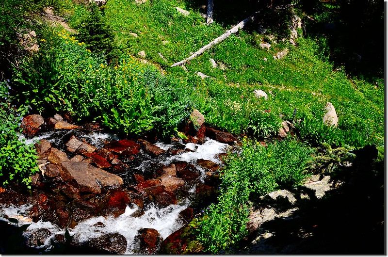
The outlet of Upper Forest Lake (2)
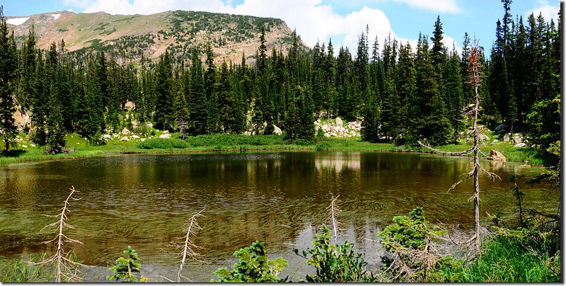
 The outlet of Upper Forest Lake
Unnamed pond
Unnamed pond


12:40 抵達Upper Forest Lake下方小水潭,海拔約10,833/3,302公尺;潭面長滿長草,繞過小潭後北切接回步道下山。
Wildflowers are blooming along the trail (5)
Wildflowers are blooming along the trail


13:00 回到Lower Forest Lake西北角進水口,取左繞沿著Lower Forest Lake的湖岸繞一圈後下山。
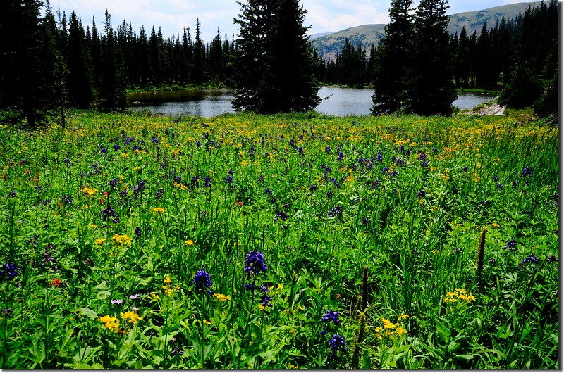
Lower Forest Lake  (6)
Lower Forest Lake  (5)
Lower Forest Lake  (4)
Lower Forest Lake 


14:38 返抵Forest Lakes Trail South Boulder Creek TrailCrater Lakes Trail的岔路,取左下山。
15:15 返抵登山口開車返家,結束一天的登山遊湖行程。

2018/07/25

攀登科羅拉多州Manitou Springs的天梯~The Manitou Incline(2018.07.19)

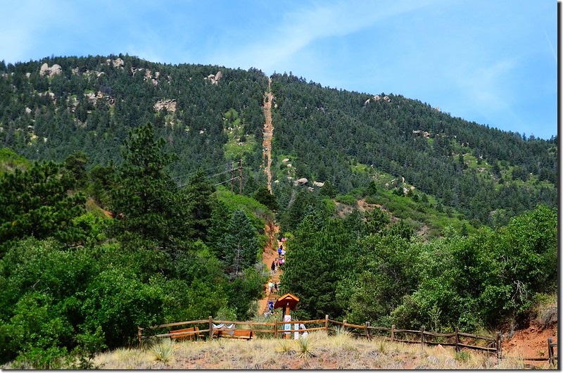
View of the Manitou Springs incline from the trailhead

上週四利用到Crested Butte賞花之便特地繞道Colorado Springs去攀登附近的景點~The InclineThe Manitou Incline或簡稱The Incline(中文的“斜坡很難表達此景點的特色,我姑且以天梯稱之)位在科羅拉多大城Colorado Springs西邊的觀光小鎮Manitou Springs,該天梯(The Incline)建於1907年,建造之初是作為纜車的軌道,而該纜車是為了運送當年在Pikes Peak山頂建造供應Manitou SpringsColorado Springs的給水工程的材料之用,該給水工程竣工之後轉變為觀光旅遊景點。
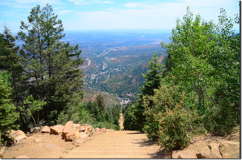
該纜車軌道在1990年由於落石崩塌摧毀一部份路段而關閉,之後拆除鐵軌後僅留下一條巨大的“飛龍上天樓梯似的鐵軌枕木,當地人開始使用這條陡峭的枕木進行具有挑戰性的登高訓練,但由於此天梯的停車場與Barr TrailPikes Peak Cog Railway的停車場屢有停車糾紛,加上此天梯經過的土地分屬三個不同的單位管轄未取得協調,所以此種挑戰是非法的,直至20132月取得協調後才合法化。
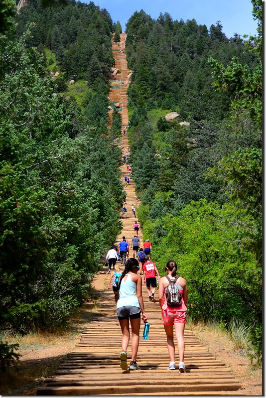
Manitou的天梯The Manitou Incline全長1.6公里,階梯共有2744階,由底部的6,500(1,981公尺)爬升到頂部的8,590(2,618公尺)總共爬升637公尺,此天梯的平均坡度約45,最大坡度達到68;此段天梯是比台灣登六順山時在萬榮林道末端(46K)的天梯來得短,階梯數也比較少,六順山的天梯全長約2.9公里,三千多階,由底部的5,823(1,775公尺)爬升到頂部的8,268(2,520公尺)總共爬升745公尺,平均坡度約26;雖然六順山的天梯是重裝上山,The Manitou Incline是輕裝來回,但The Manitou Incline天梯的難度是很陡峭,而且全程幾乎無樹蔭,炙熱難熬,不像六順山的天梯全程在森林裡踏著長滿青苔的台階緩升,所以我還是覺得六順山的天梯爬得舒服!
~~~~~~~~~~~~~~~~~~~~~~~~~~~~~~~~~~~~~~~~~~~~~~~~~~~~~~~~~~~~~
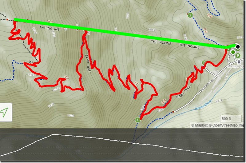
Hiking Route
Hiking Route


登山里程4.5(上山1.0哩,下山3.5)
總爬升高度2,090(637公尺)
登山時間:上山(The Incline) 1小時35分,下山(Barr Trail) 1小時20
The Manitou Incline台階數2744
坡度:平均坡度約45%,最大坡度達到68%。
~~~~~~~~~~~~~~~~~~~~~~~~~~~~~~~~~~~~~~~~~~~~~~~~~~~~~~~~~~~~~~
行車資訊:
由丹佛開車沿I-25 州際公路南行,車扺Colorado Springs後於Exit 141出口下交流道後右轉沿US-24Manitou Springs西北行,行約4.0哩後於US-24哩程299.1 mile處下交流道沿Manitou Ave西行,Manitou Ave行約1.4哩從圓環的第二個出口出去,朝Ruxton Ave西行,然後循Incline Parking Lot的指標行約0.7哩抵達停車場(停車費美金10)Manitou Incline的登山口在最北邊停車場的西端。
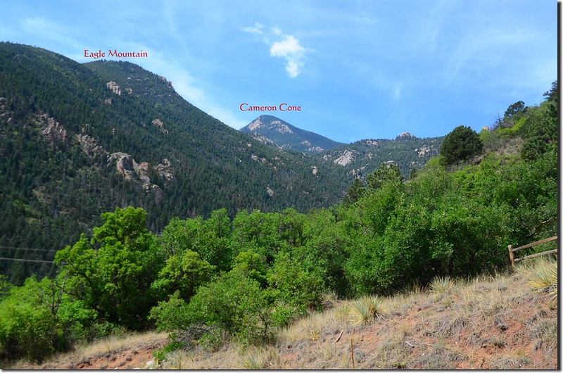
View to the southwest from the base of The Incline 1-1
View to the southwest from the base of The Incline


步程簡述:
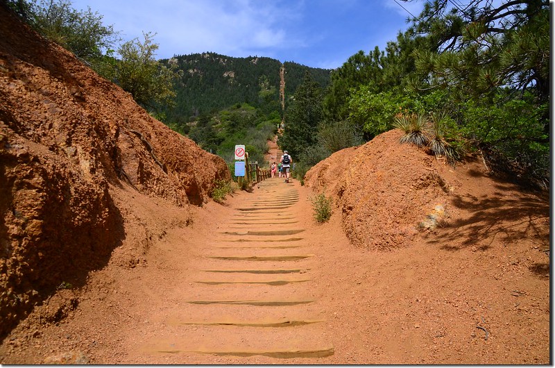
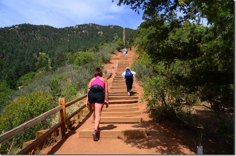
10:45 從天梯的底部登山口出發,沿著枕木階梯拾級而上,登山口海拔6,500(1,981公尺)
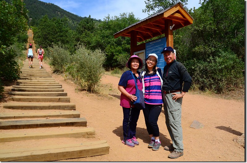
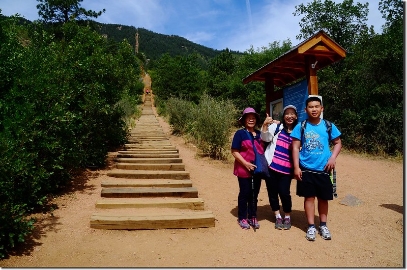
The base of The Incline 2
The base of The Incline 1
The base of The Incline


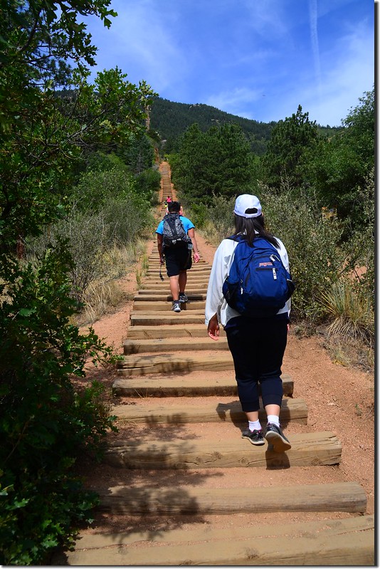
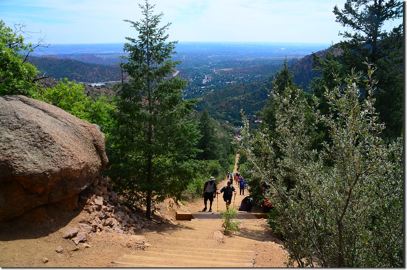
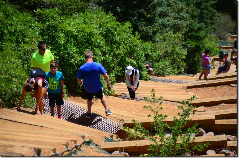
天梯底部屬於緩坡地形。

Ruth & Jacob heading up the Manitou Springs Incline
The Manitou Incline, Manitou Springs (1)
The Manitou Incline, Manitou Springs
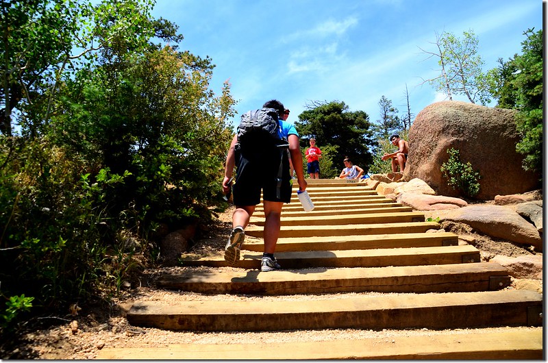
The easy part of the incline


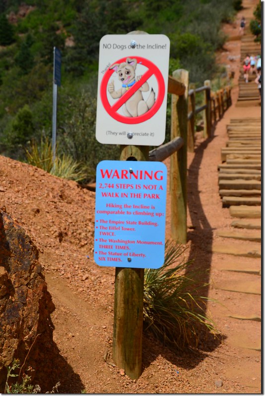
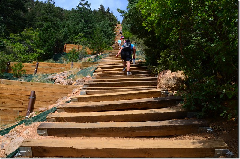
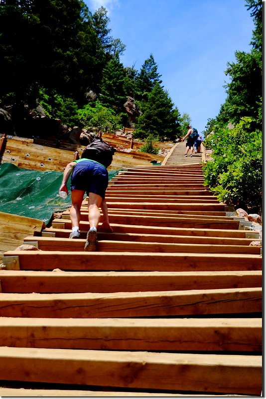
10:51 階梯坡度轉為較為陡峭,步道旁立了一面警語,上面寫著~~
Warning
2744 steps is not a walk in the park
Hiking the incline is comparable to climbing up
The Empire State Building
The Eiffel Tower Twice
The Washington Mountain Three Times
The Statue of Liberty six times”
要是可以增加,我會增加一條:“爬一趟台北101”
Warning sign at the base of The Incline
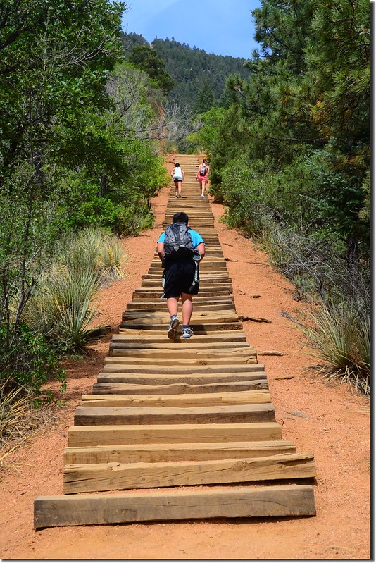
Hikers climbing up the Manitou Incline in Manitou Springs (4)
Hikers climbing up the Manitou Incline in Manitou Springs
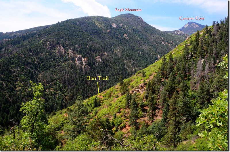
Looking southwest at Barr Trail from The Incline 1-1
Looking southwest at Barr Trail from The Incline
View of the Manitou Incline from the base


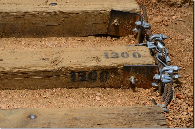
11:11 登上1300階,天梯在階梯右側每100階噴有階梯數;
Step #1300
Step #1300


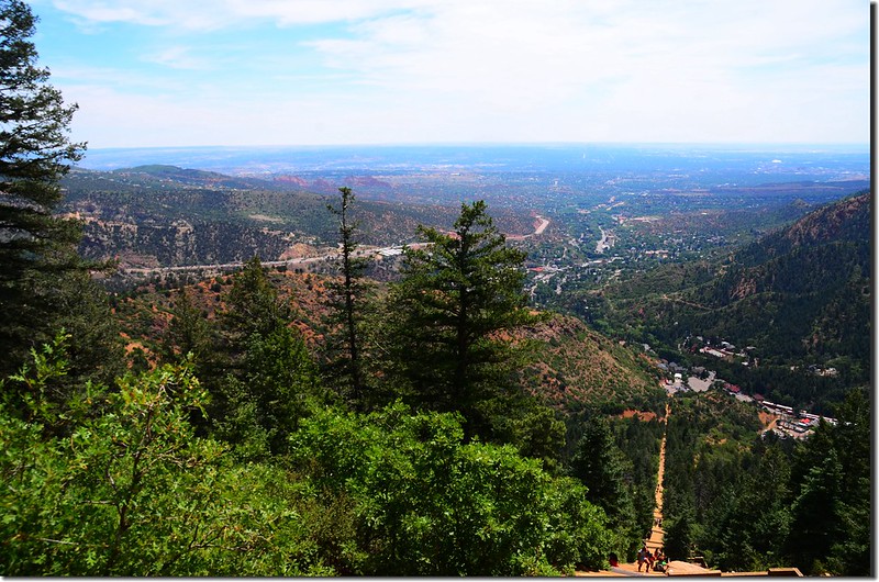
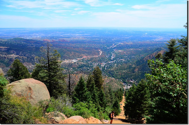
除了埋頭苦爬外,利用休息喘息片刻回望一下上來的路及遠眺東邊Colorado Springs

Looking down the Manitou Incline from the trail 2
Looking down the Manitou Incline from the trail
The Manitou Incline, Manitou Springs (4)
The Manitou Incline, Manitou Springs
Looking down the Manitou Incline from the trail 3
Looking down the Manitou Incline from the trail


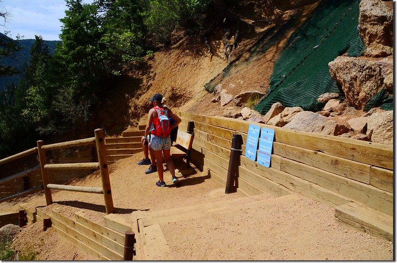
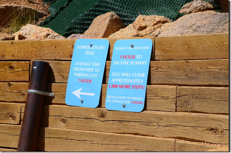
11:33 抵達中途下撤點(the bailout point),此處約是天梯的三分之二處,距天梯底部約0.7哩,海拔約7,800(2,377公尺),登山客如果體力不濟可由此點左切隨即接到Barr Trail下山,階梯旁有兩面說明牌,一面寫著到達山頂大約還要1000階多一點,大約還要一小時,從山頂下到停車場約二小時;另一面則寫著此處是Lower Return Trail,由此處左切下山到停車場約一小時;
The Bailout Point leads to the Barr Trail
The Bailout Point
The Bailout Point
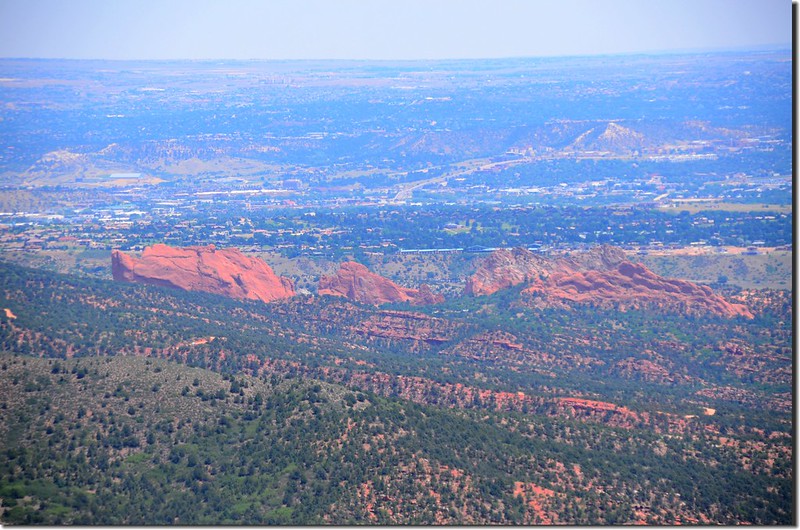
Looking east at Garden of the Gods from The Incline
Looking east at Garden of the Gods from the bailout point, The Incline
Hikers climbing up the Manitou Incline in Manitou Springs (1)
Hikers climbing up the Manitou Incline in Manitou Springs (2)
Hikers climbing up the Manitou Incline in Manitou Springs (3)
Hikers climbing up the Manitou Incline in Manitou Springs (5)
Hikers climbing up the Manitou Incline in Manitou Springs


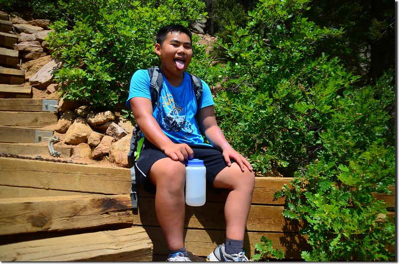
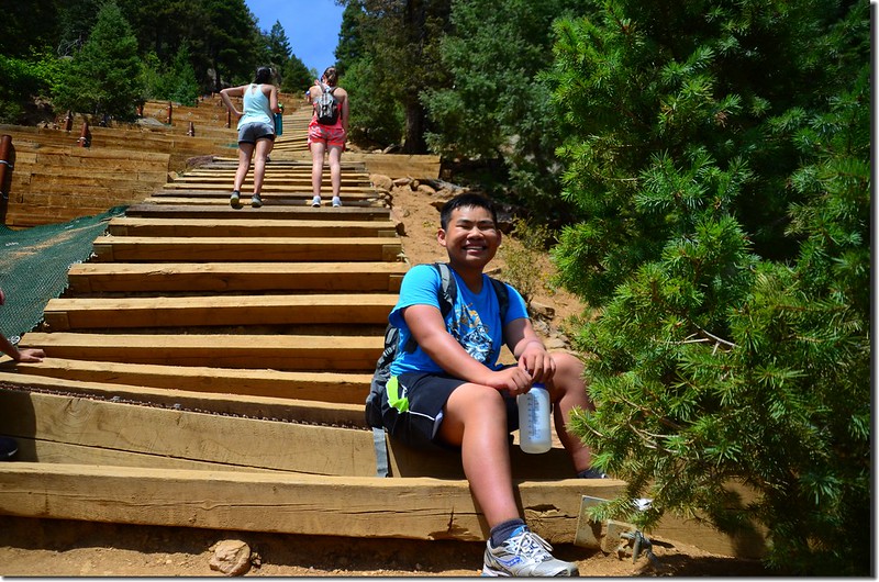
女兒昨晚沒睡好在此下撤,我和外孫貝貝續往上爬。
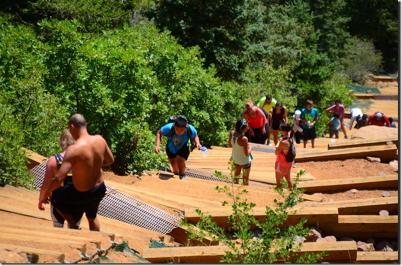
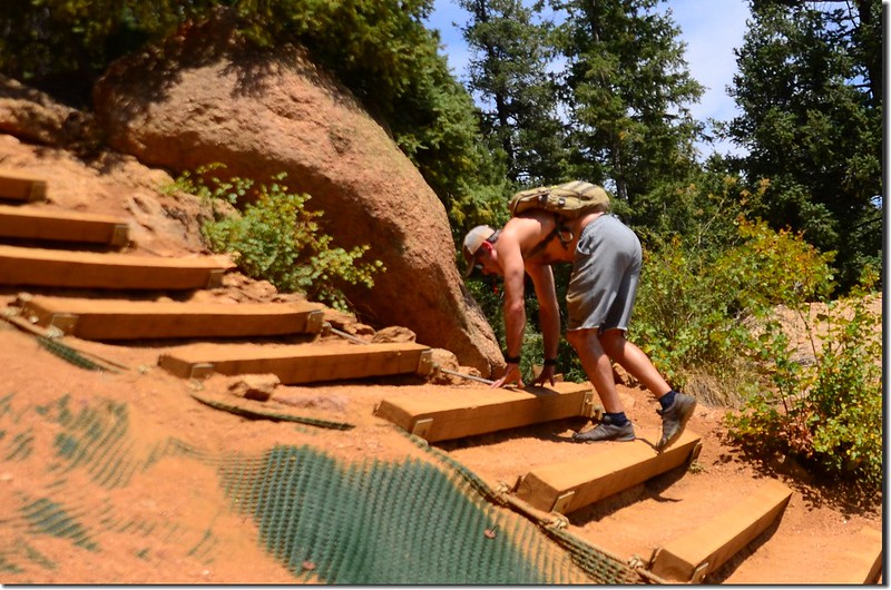
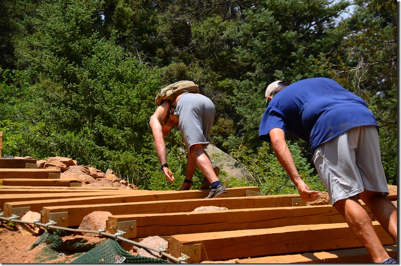
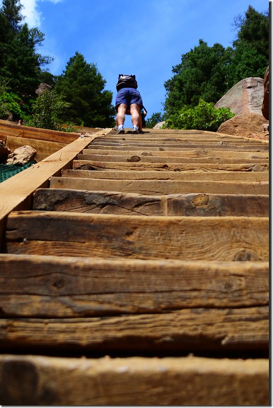
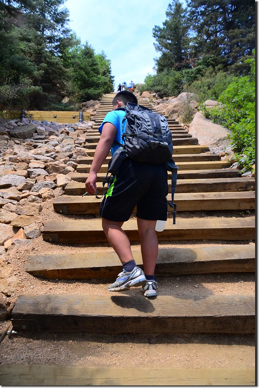
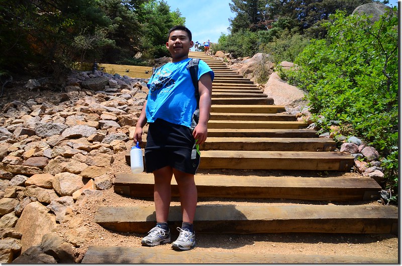
過了中途下撤點後階梯更陡峭了,有幾個路段坡度更達到6~70%。
The Manitou Incline, Manitou Springs (5)
The Manitou Incline, Manitou Springs (6)
The Manitou Incline, Manitou Springs
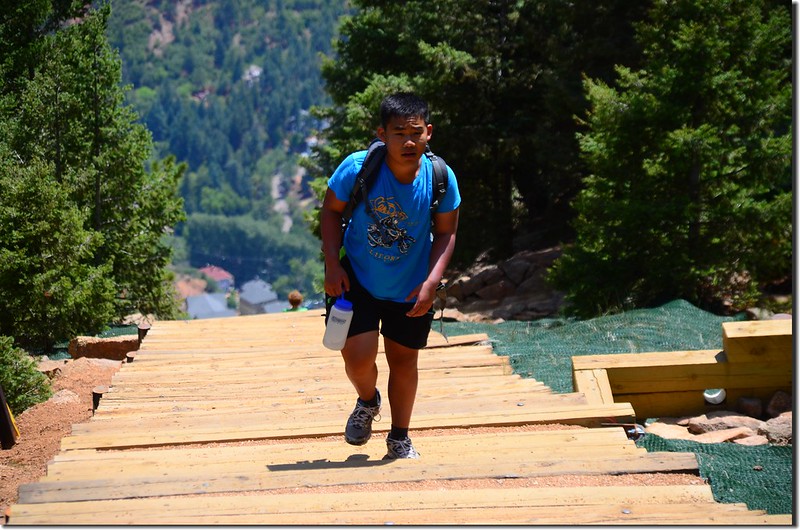
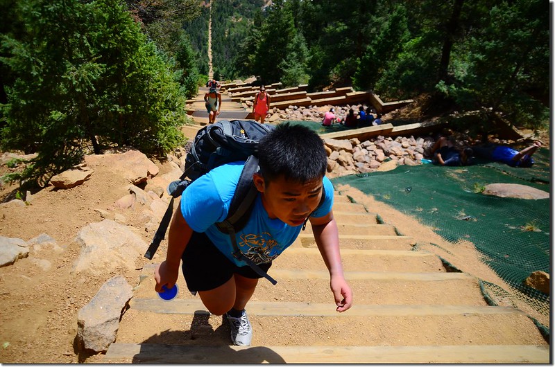
Jacob on his way up to the top of the incline (5)
Jacob on his way up to the top of the incline (4)
Jacob on his way up to the top of the incline (3)
Jacob on his way up to the top of the incline (6)
Jacob on his way up to the top of the incline (7)
Jacob on his way up to the top of the incline (2)
Jacob on his way up to the top of the incline (1)
Jacob on his way up to the top of the incline
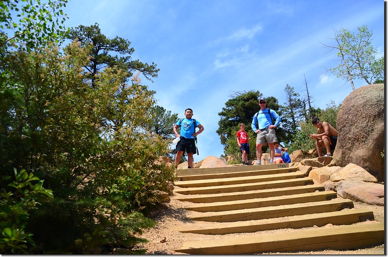
Jacob reaches the top of the incline


12:20 登上天梯頂端,距天梯底部約1.0哩,海拔約8,590(2,618公尺)
On the top of the incline (1)
On the top of the incline (2)
On the top of the incline (3)
On the top of the incline 


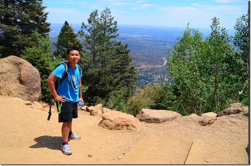
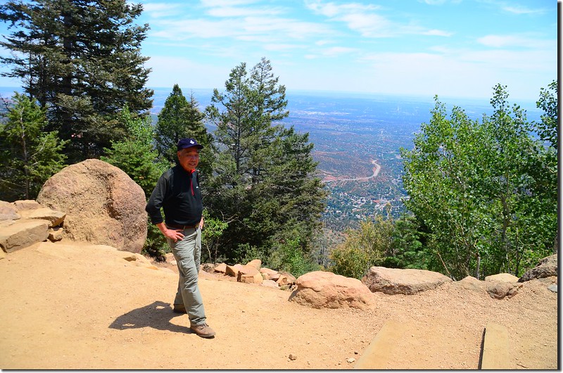
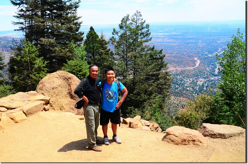
天梯頂端展望頗佳,東面俯瞰Manitou Springs及遠方的Colorado Springs,左方幾片紅色巨岩處是Gardern of the Gods Park

Looking down the Incline from the top
View of Colorado Springs from the top of the Manitou Incline
View to the west from the top of The Incline 1-1
View to the west from the top of The Incline


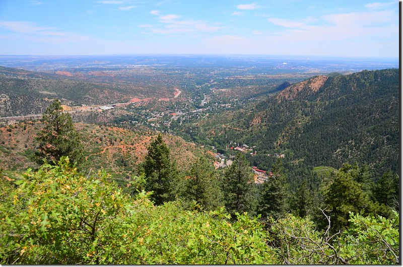
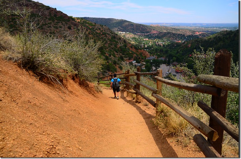
一般登山客登上天梯後有兩條下山的路,一條是循原路直線下山,一條是從天梯南邊的Barr Trail“之字形下山;前者距離較短,僅一哩,但較陡峭危險,後者距離較長,約3.5哩,但坡度較緩,景觀也較多樣化,所以大部分的登山客都選擇由Barr Trail路線下山;我們在山頂小休後也沿著Barr Trail下山。
View to the southwest from Barr Trail 1-1
Looking southwest at Barr Trail from The Incline
On the way down the Barr Trail (1)
On the way down the Barr Trail
On the way down the Barr Trail (2)
On the way down the Barr Trail


12:50 下抵天梯的Lower Return Trail岔路處,此處距天梯頂端約1.4哩,海拔約7,800(2,377公尺),左岔接天梯,右岔為Barr Trail;右轉繼續沿著Barr Trail下山。
On the way down the Barr Trail (3)
On the way down the Barr Trail
Taken from Barr Trail (3)
Taken from Barr Trail
Looking east at Garden of the Gods from Barr Trail
Taken from Barr Trail (1)
Taken from Barr Trail (2)
Taken from Barr Trail
Overlooking east at Colorado Springs from Barr Trail
On the way down the Barr Trail (4)
On the way down the Barr Trail


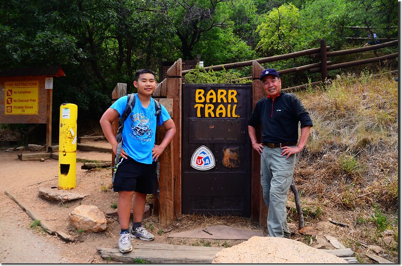
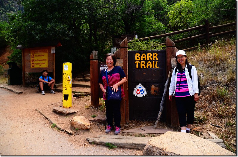
13:52 下抵Barr Trail登山口,此處距天梯頂端約3.0哩,海拔約6,680(2,036公尺)
Barr Trailhead (2)
Barr Trailhead (1)
Barr Trailhead


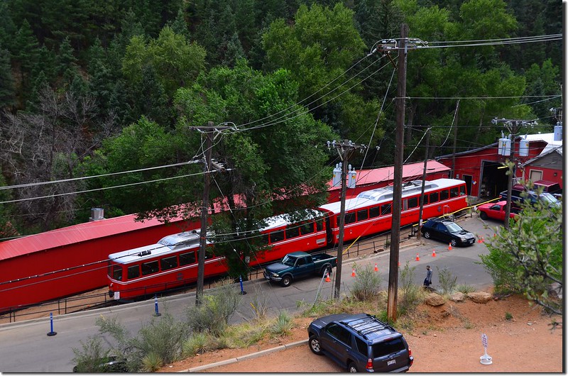
此處是Barr Trail的停車場,沿著小徑續往The Incline停車場,途中經過今年已停駛的Pikes Peak Cog Railway。
Pikes Peak Cog Railway


13:57 返抵The Incline底部登山口,右轉行一小段路後抵達停車場,開車下山。