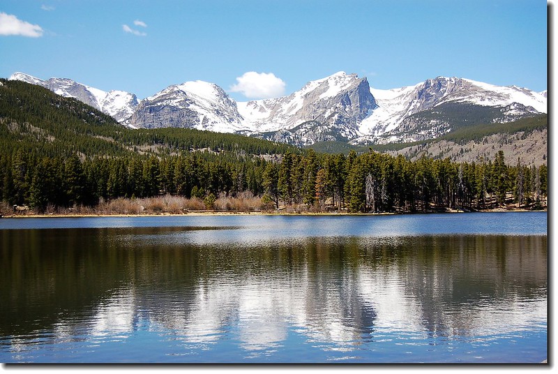
今天登山路線(此照片攝於Sprague Lake )
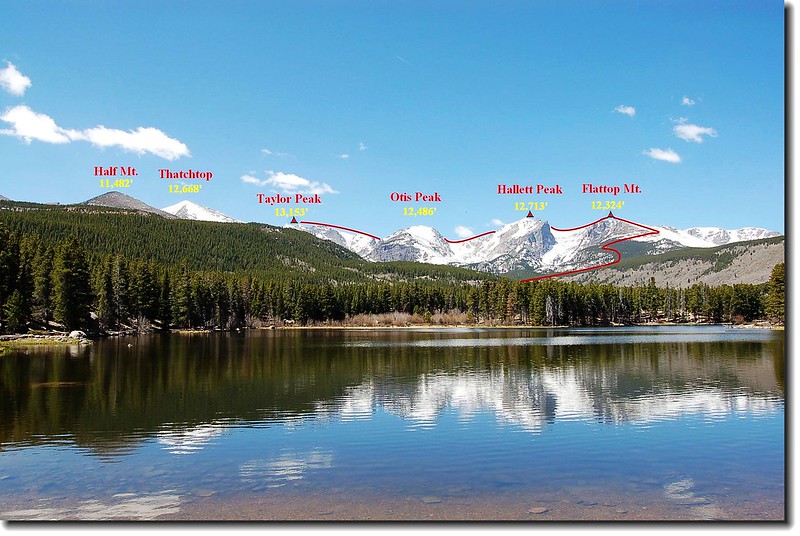
Flattop Mountain 海拔12324呎 / 3756 公尺,位在落磯山國家公園內Bear lake西側,山不高但卻是一般登山客很喜歡上的一座山;主要是該座山正位在美國大陸落磯山脈分水嶺(Continental Divide) 上,山頂寬闊平坦,登山路徑緩坡好走,路程又不遠(單程距離4.4 哩/7.04公里, 爬升高度2,849呎/868公尺) ,一般腳程來回約5~6個小時可以完成。登上此山若時間許可,你可以往南順登Hallett Peak ( 12713 ft / 3875 m )、 Otis Peak ( 12486 ft / 3806 m ) 和Taylor Peak(13153 ft / 4009 m)等山;往北可以走在Tonahutu Creek Trail上,欣賞廣闊的苔原地帶。這一條線正是走在美國大陸落磯山脈分水嶺(Continental Divide)上,東邊是大西洋水系,西邊是太平洋水系,整個落磯山國家公園在此一覽無遺。
該山我在2002年上過一次,2005年上過兩次,一次剛登頂就遇到落磯山脈有名又恐佈的Thunderstorm,又是閃電、又是雷擊、加上大如一元硬幣的冰雹,嚇得我躲在一塊大石頭底下,待天稍放晴,一口氣衝到山下;一次大好天氣,我上了Flattop山頂後,順登Hallett Peak ( 12713 ft / 3875 m ),然後沿著Tonahutu Creek Trail往北走了好長一段路。去年(2007)夏天又動了上Flattop的念頭,這次打算從Flattop的山頂往南沿著美國大陸落磯山脈分水嶺(Continental Divide)腰繞Hallett Peak 、 Otis Peak ,再攀登Taylor Peak(13153 ft / 4009 m),也利用此機會踏著殘雪欣賞高山雪景。
2007年6月19日天亮由家裡出發,七點半抵Bear lake(約1.5小時),欣賞一下湖光山色後,07:40 由Bear lake Trailhead(海拔9475呎/2888公尺)起登,清晨的山徑特別清新舒爽。
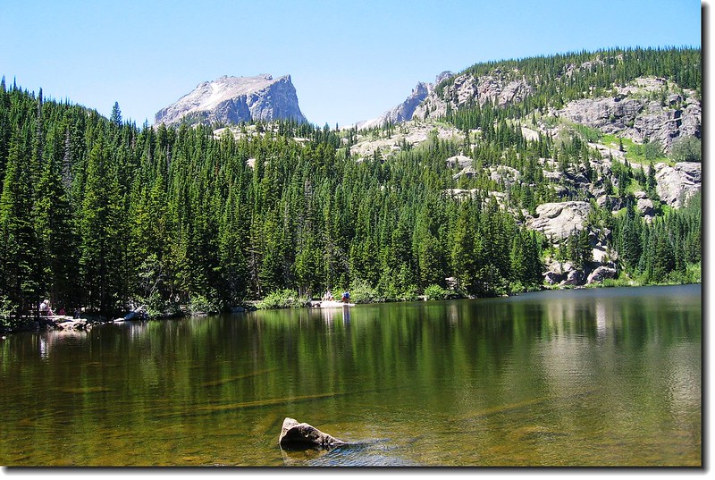
從Bear lake看Hallett Peak(L) 和 Flattop Mt.(R)
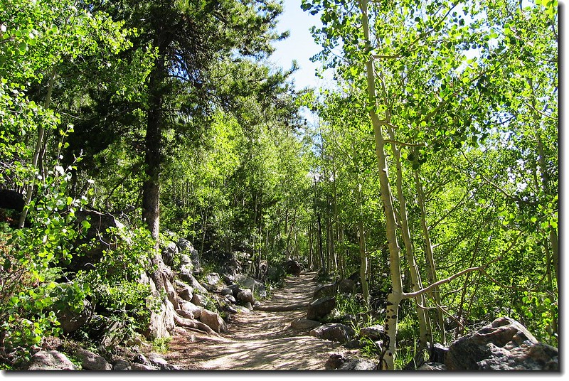
登山步道旁的Aspen挺直翠綠
08:39 到達Dream lake viewpoint,俯瞰Dream lake。
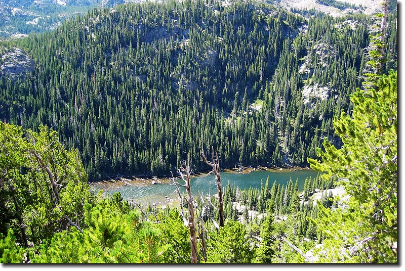
Dream Lake is seen looking South from the Flattop trail
09:20 穿過森林線,陽光很強,但溫度很低,凍的手指發麻。Longs Peak如帝王般矗立在南邊;Mummy Range則如長城般橫亙北方。
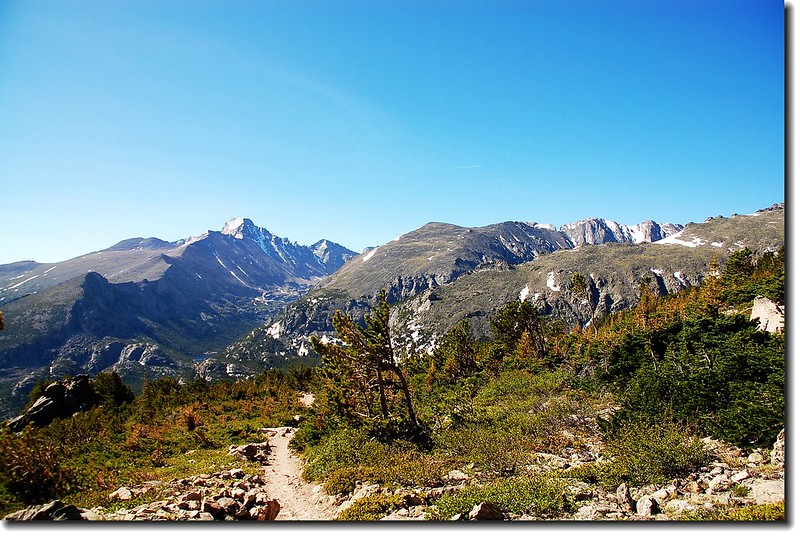
Overlook Longs Peak from Flattop's south slope
Overlook Mummy range from Flattop's south slope
Bierstadt Lake(L) & Sprague Lake(R)--From半山腰向東俯瞰來時路
09:39 抵達Emerald lake viewpoint,俯瞰Emerald lake躺臥在山谷中。
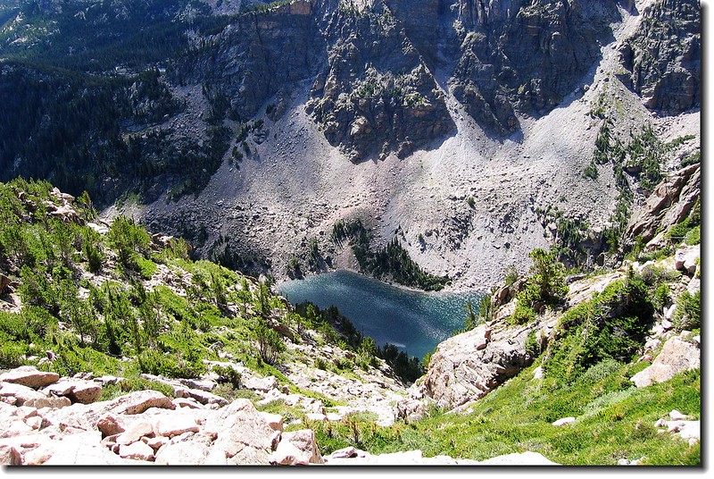
Emerald Lake is seen looking South from the Flattop trail
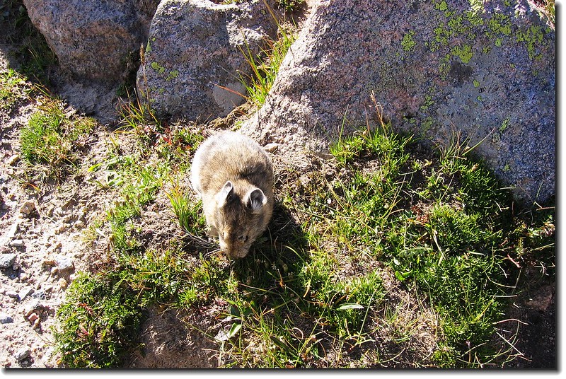
覓食的Pika
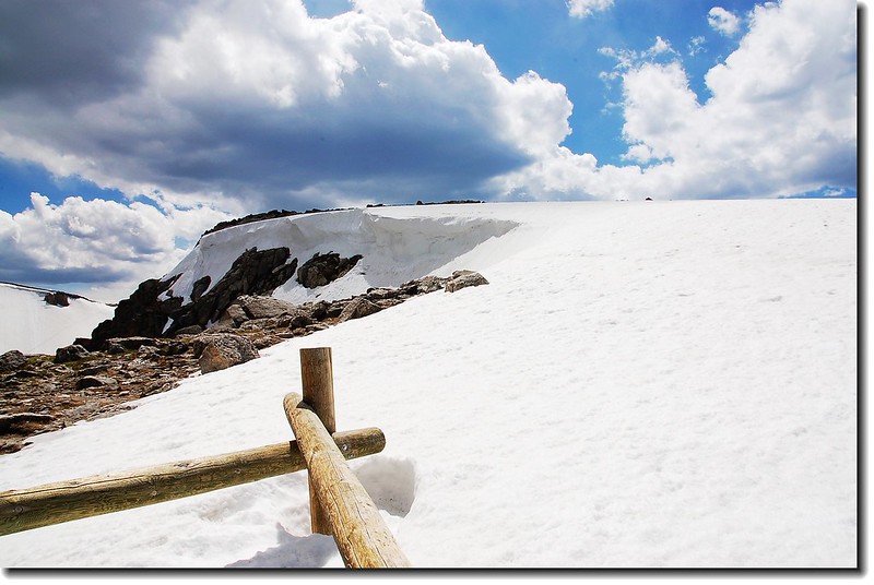
10:09 繞過一個山坡,眼前出現一大片未溶的雪坡。
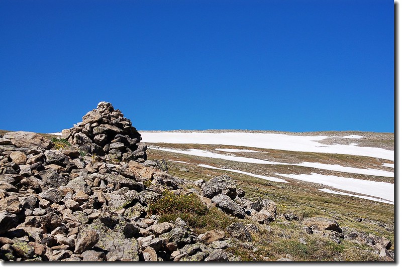
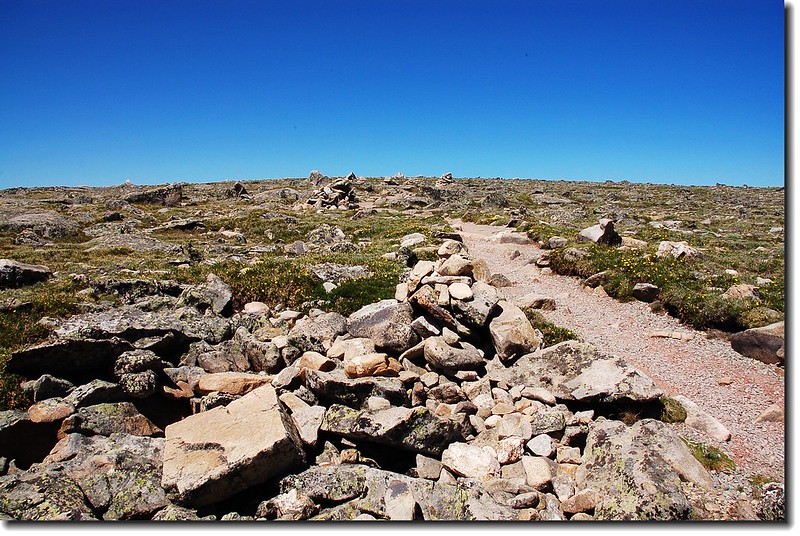
Cairn stand along the trail
10:29 抵達一處拴馬架(Horse hitching rack,此山可騎馬上山,但必需將馬拴於此)。此處有一石堆Shelter,可避強風,在此休息。見一群登山客穿過雪坡正要下山。
Horse hitching rack near the top of Flattop
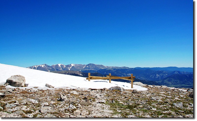
Looking up Flattop's top plateau from Horse hitching rack

Hikers just back down from the top through the snowfield
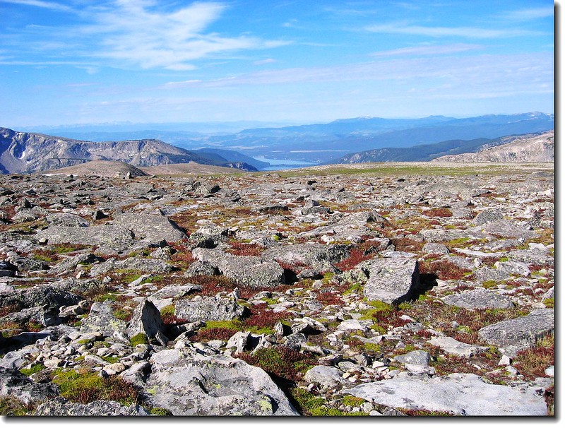
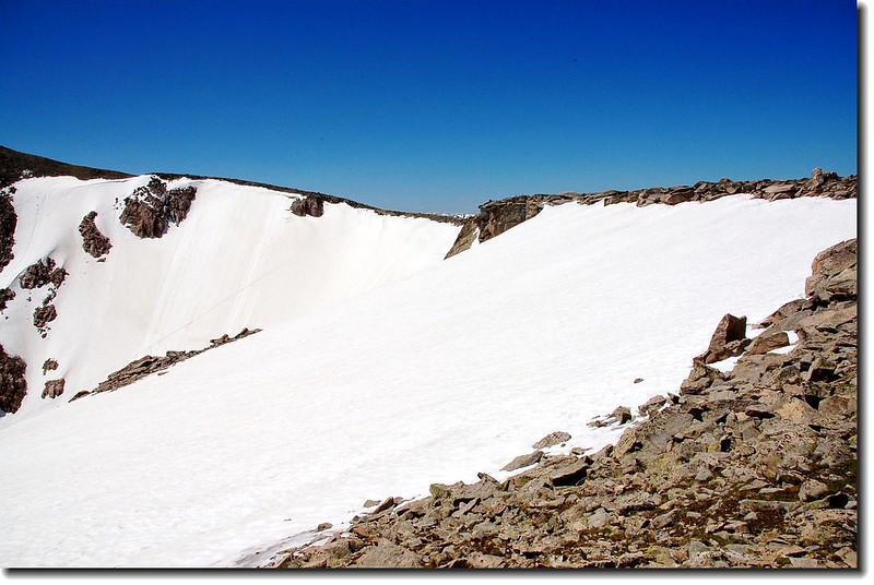
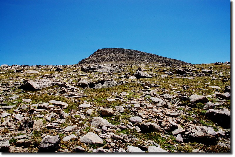
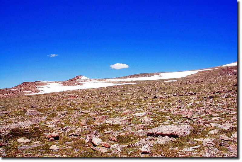
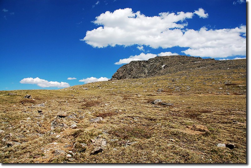
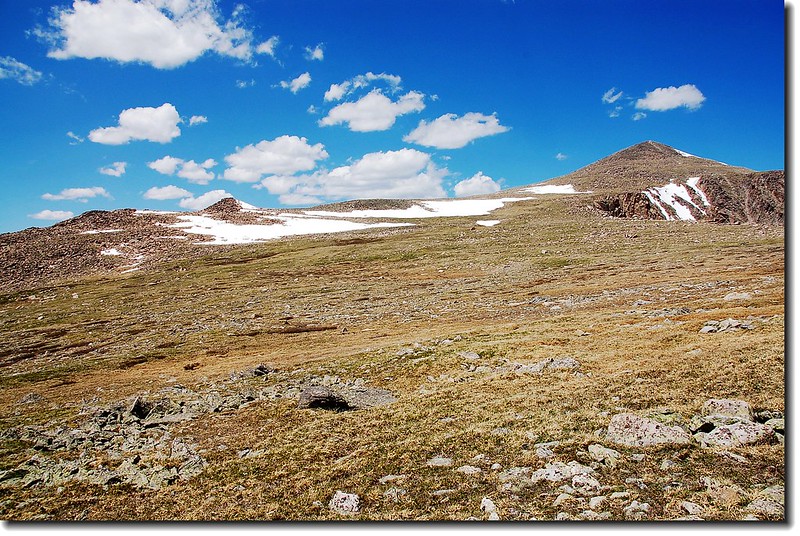
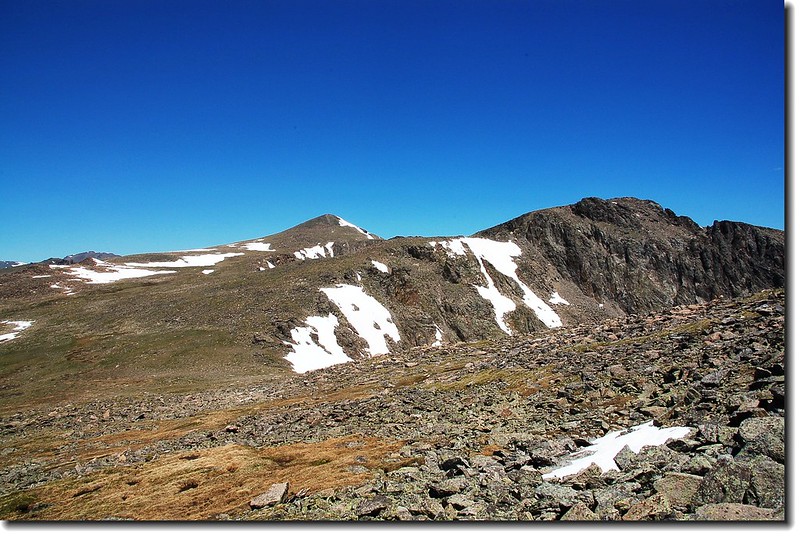
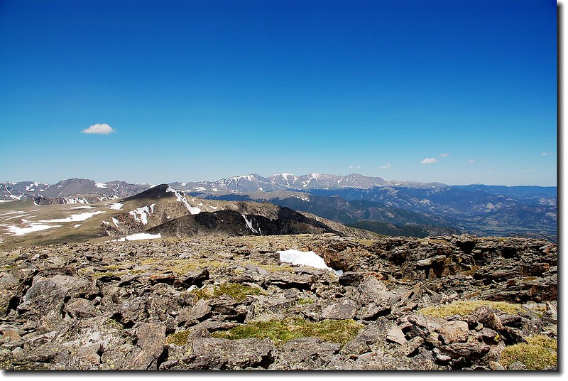
11:11 續行,穿過雪坡後便是一片廣闊的Flattop山頂。
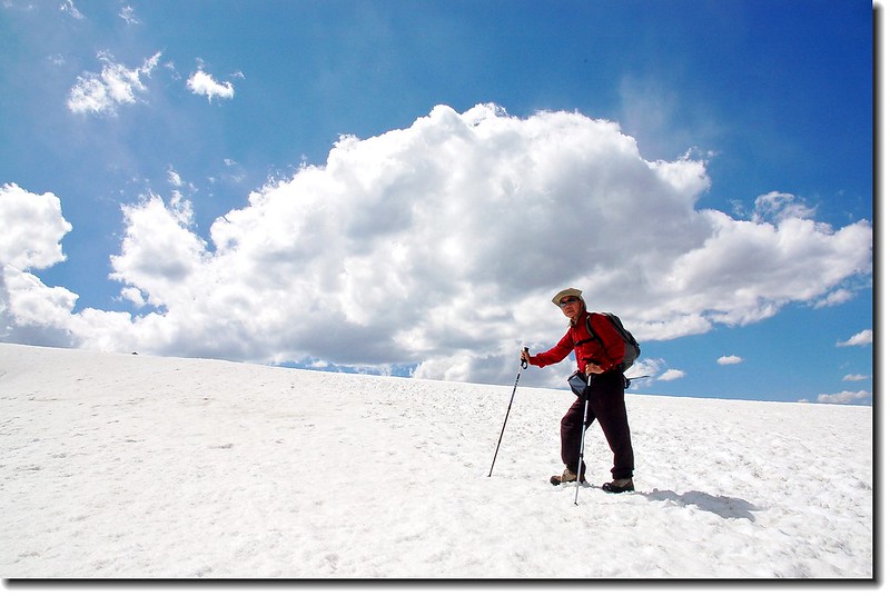
Traversing the snowfield
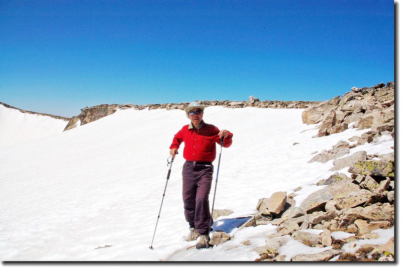
Near Flattop's summit
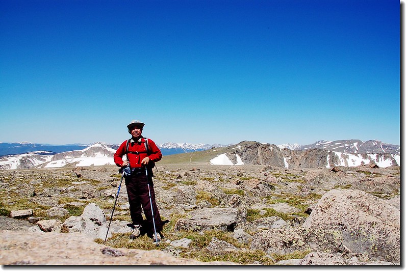
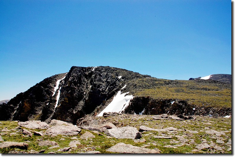
Flattop's summit
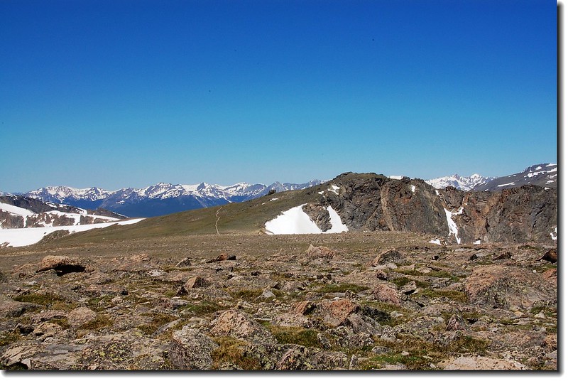
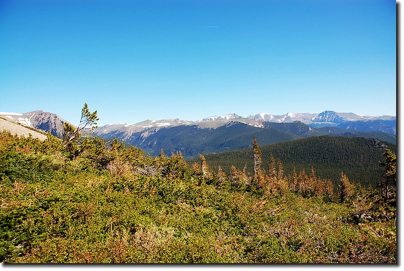
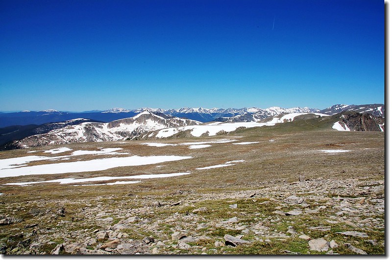
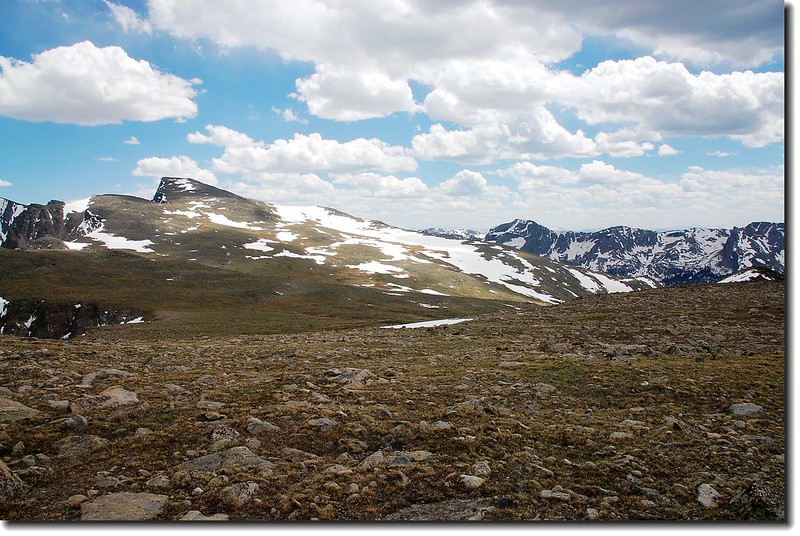
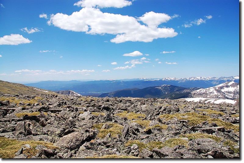
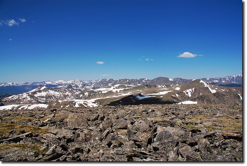
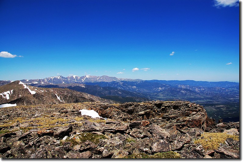
Bighorn Flats are seen looking NW from Flattop's summit
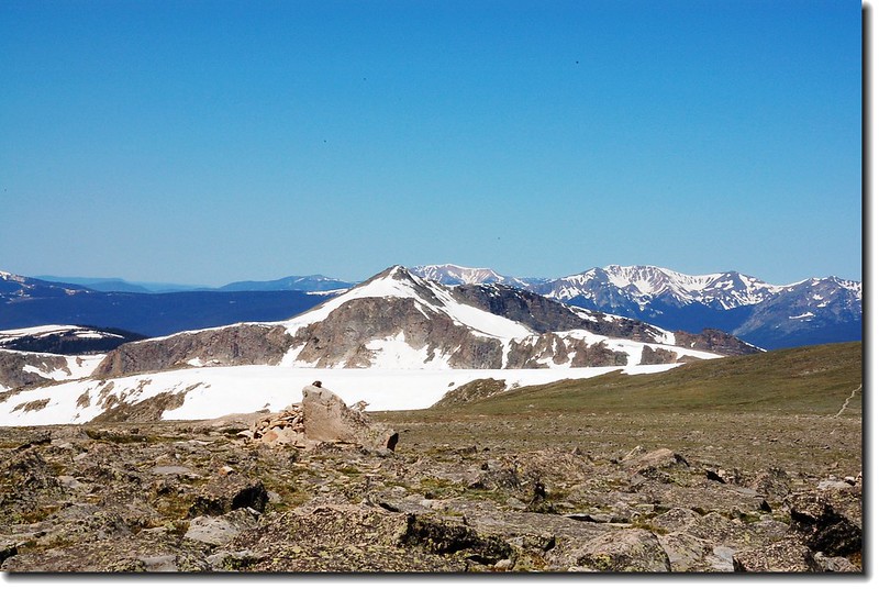
Snowdrift Peak seen from the summit of Flattop Mountain
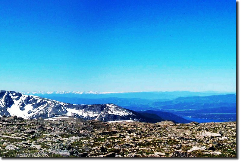
從Flattop山頂西南眺Grand lake

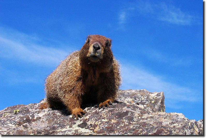
Marmot on the rock
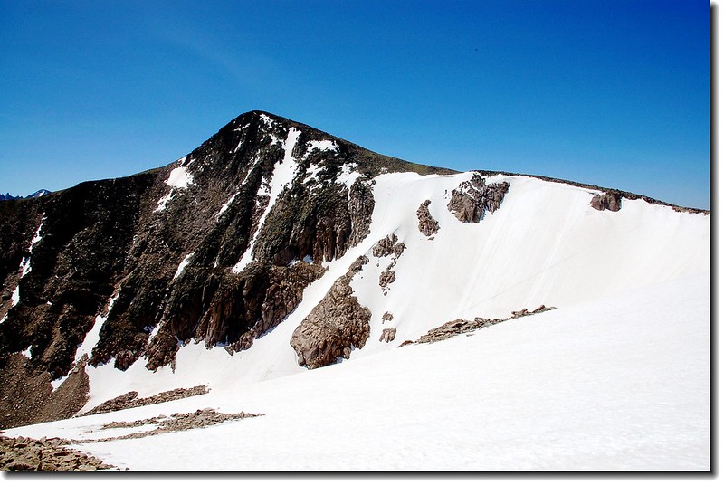
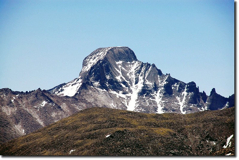
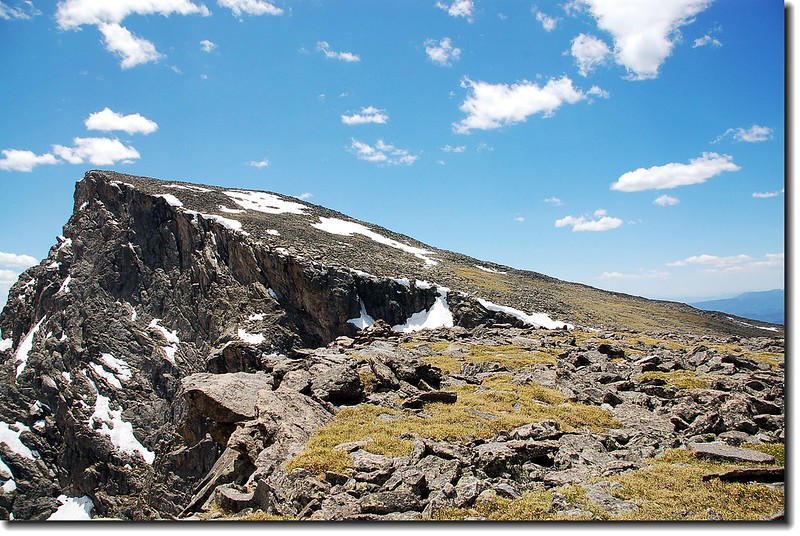
Hallett Peak 金字塔似的出現在南方
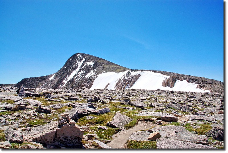
The summit pyramid of Hallett Peak as seen from Flattop's summit
Tyndall glacier介於Flattop Mountain和Hallett Peak之間
Hallett Peak & Tyndall glacier
Tyndall Glacier
此冰河是在大約13000到15000年前的冰河時期,大約500英尺 厚度的冰層慢慢往下移動,漸漸切割出的一個U字型山谷,也是目前在Bear lake區大大小小的湖泊所見的主要背景。
續往南行
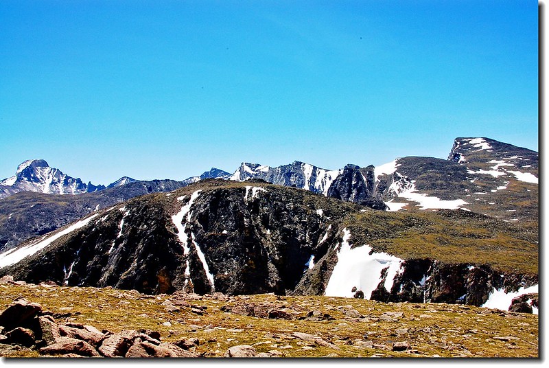
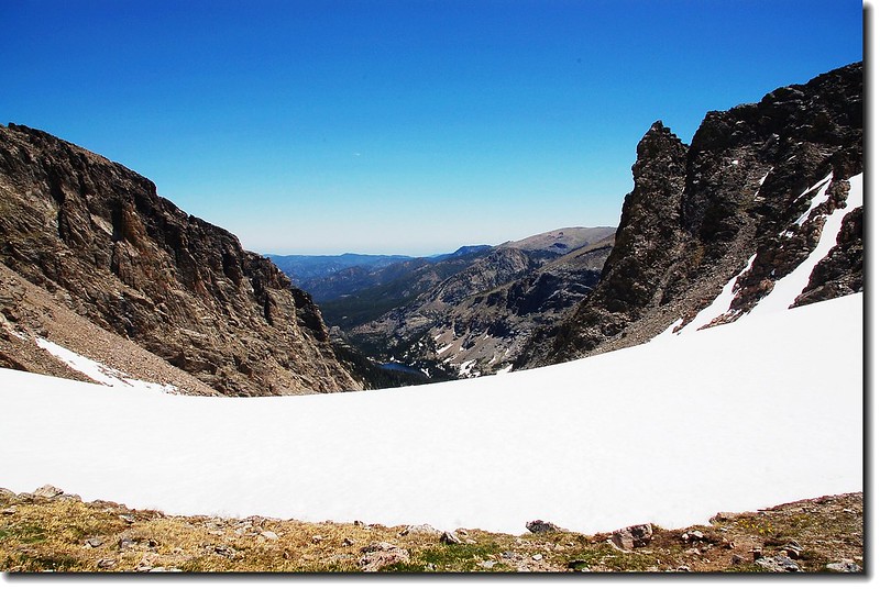
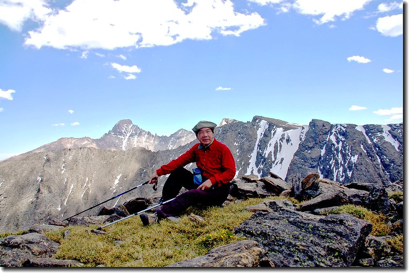
11:37 腰繞Hallett Peak,此山兩年前已上去過,今天不登頂,目標Taylor Peak。在此遠眺Longs Peak益見其雄偉。
Longs Peak from Hallett below
The backside of Taylor peak as seen from the slopes of Hallett(西側山坡)
Otis (foreground), Powell (behind Otis), and Taylor (Right) From Hallett below
Hallett Peak from It's foot
Hallett peak's slopes
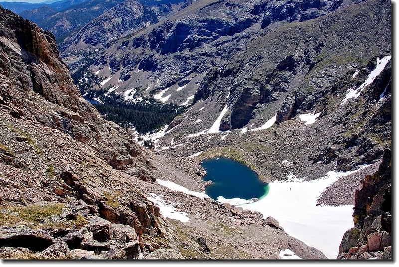
12:00 抵Hallett Peak和Otis Peak的鞍部,可俯瞰Lake Haiyaha。
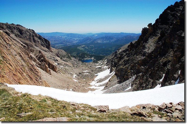
Looking down Chaos Canyon , Lake Haiyaha is visible in the distance
Otis from the Hallett-Otis saddle
Otis from the Hallett-Otis saddle
Hallett from the Hallett-Otis saddle
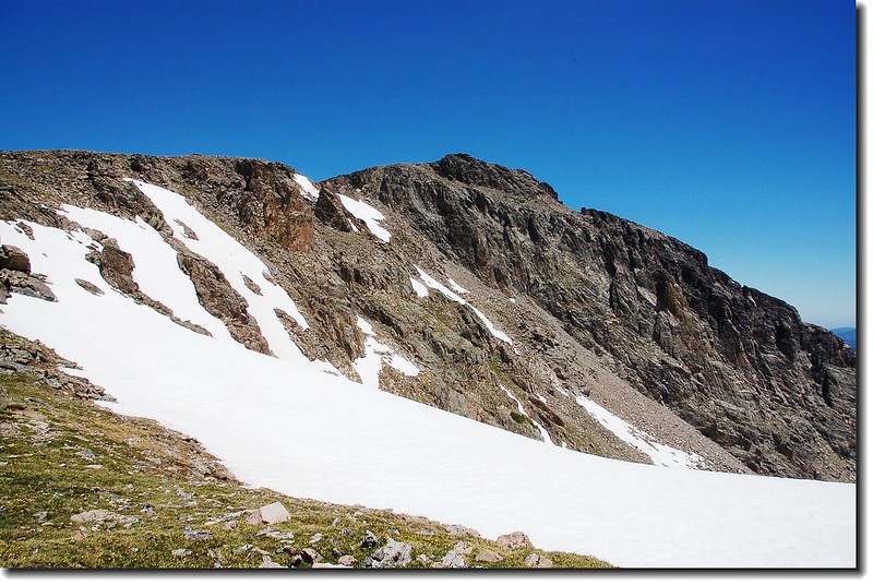
12:15 通過Otis Peak山腳
12:25 抵Andrews glacier(Otis Peak和Taylor Peak鞍部)。
Andrews glacier
Looking down Andrews Tarn from Otis,The Loch is below
再此遇到一位登山客剛由Andrews glacier底部循Andrews glacier爬上來,我問他像我這樣的裝備能順利沿Andrews glacier下山嗎,他看了看我的裝備說:可以,但難度高了一點。我只好打退堂鼓,畢竟我沒有雪攀的經驗。
Otis & Andrews glacier from Taylor Peak's north slopes
Otis Peak (R) and Hallett Peak (L) from the lower slopes of Taylor
Taylor's summit from the 12,900' point
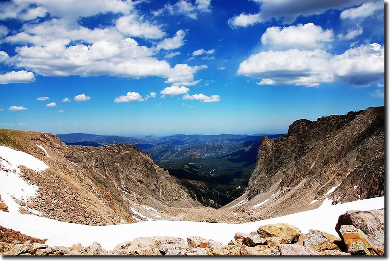
13:30 登頂Taylor Peak山頂,Longs Peak、Pagoda mountain、以及連接兩座山之間的Keyboard of the Winds近在眼前。
On the Taylor's summit
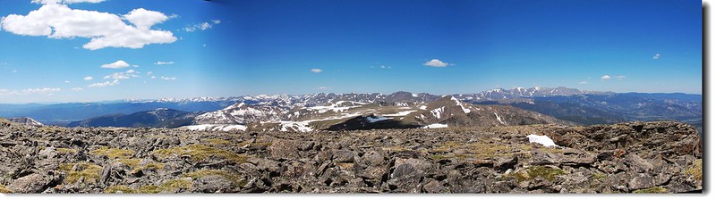
Mountains view from Taylor view to northwest
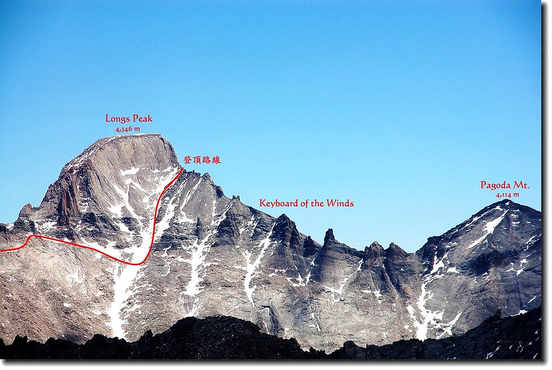
Longs Peak taken from the saddle between The Sharkstooth
Mountains views from Taylor
Mountains views from Taylor
Mummy Range from Taylor
Hallett Peak (left) and Otis Peak (right) from Taylor Peak
在此更可清楚的看到冰河時期冰河所切割的陡峭地形。
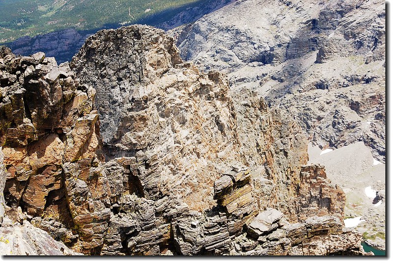
Cliffs view from Taylor
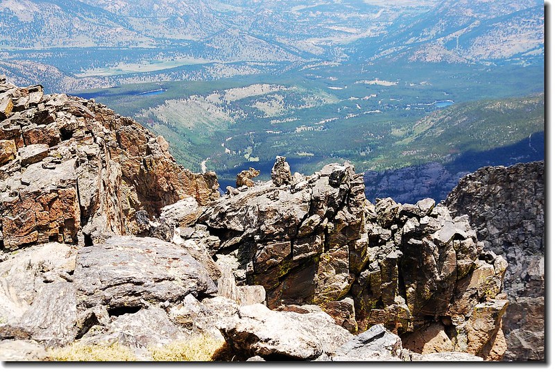
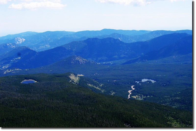
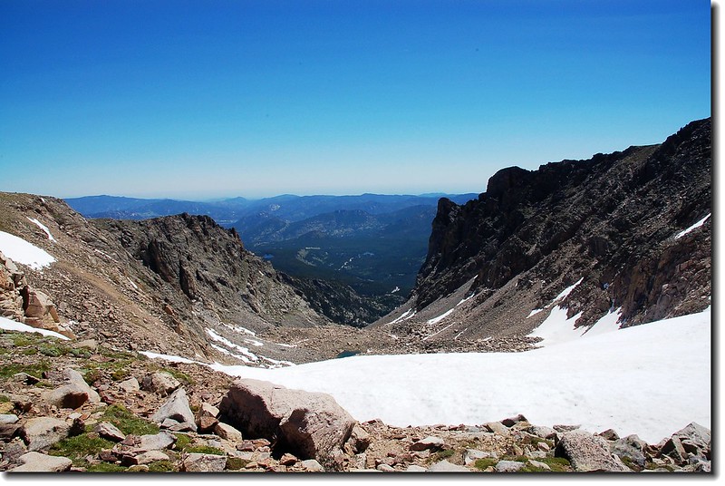
Looking down into Bear lake road from Taylor's summit
欣賞完群山雪景後,於14:00循原路下山。
17:00返抵登山口結束一次美好的“雪山”之行。
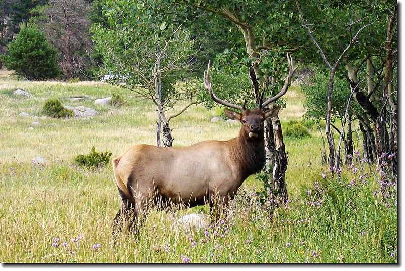
Elk in Moraine Park
沒有留言:
張貼留言