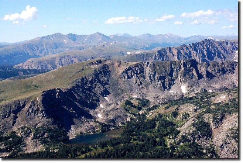
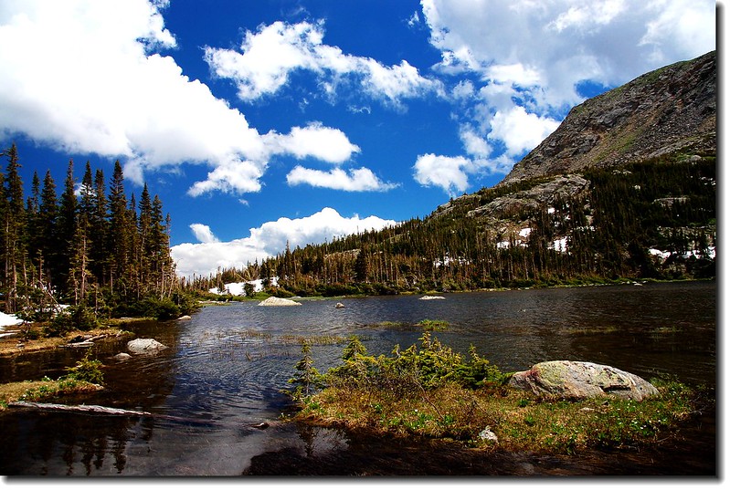
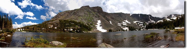
Diamond lake from S Arapaho peak view to south
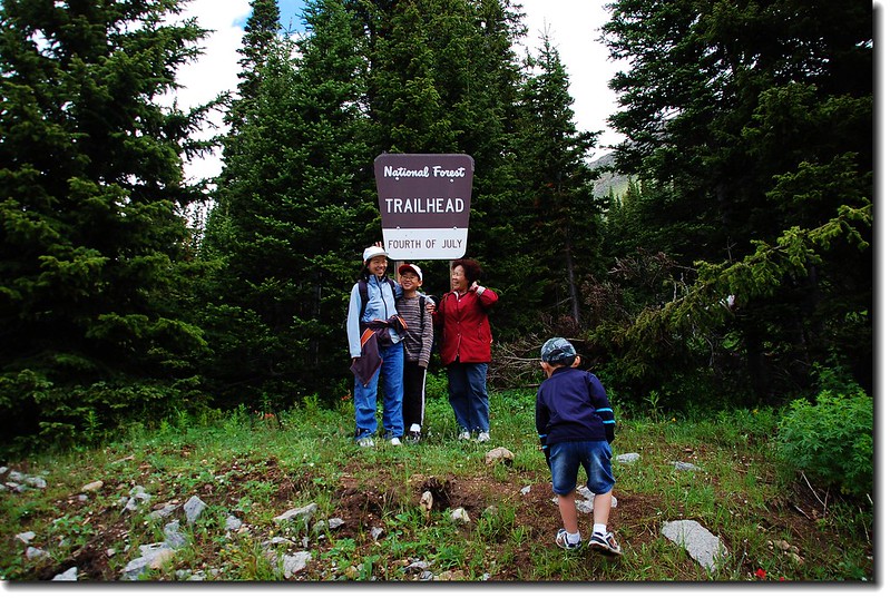
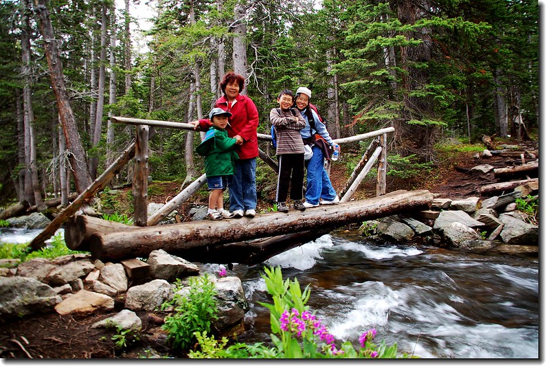
7月3日女兒公司放假,本打算在7月4日帶家人去一個叫做7月4日登山口(Fourth of July Trailhead)的地方爬爬高山湖,但因7月4日女兒另有他事,所以就提前一天去了,女婿子峰到委內瑞拉短宣未能跟上,又被逃掉了。這個登山口不知如何取名的,7月4日不就是美國獨立紀念日嗎!
這裡常常會遇到一些令人看了不覺莞爾的地名;在離丹佛不遠的一個賭城小鎮Central City就曾看到一個指示牌:“To Oh My God Road”,我想賭贏或賭輸都會叫“Oh My God!”只是語氣不同罷了。
步道描述:
距離(來回):5.3哩(8.48公里)
登山口:Fourth of July Trailhead(海拔10,172呎)
爬升高度:約920呎(10,172呎→10,940呎,含150呎下切路段)。
行車指南:
The Diamond Lake Trail位在Indian Peaks Wilderness範圍內,我們經由Arapaho Pass Trail進入,Arapaho Pass Trail的登山口在靠近小鎮Nederland的Fourth of July Trailhead。
從Nederland往南沿CO 119(CO 72,Peak To Peak )走0.5哩右轉,沿County Road 130往小鎮Eldora,過Eldora後再走約5哩的石子路,路盡頭即為Fourth of July Trailhead,備有停車場及廁所。
我們於9:30左右到達登山口,停車場早已客滿,只好跟隨其他登山客將車子停靠路邊,整裝出發。此登山口兩年前來過,那次是走Arapaho Pass Trail去爬South Arapaho Peak和North Arapaho Peak,所以路徑不陌生。天氣陰陰的,溫度有點低,天氣預報午後有局部性陣雨。
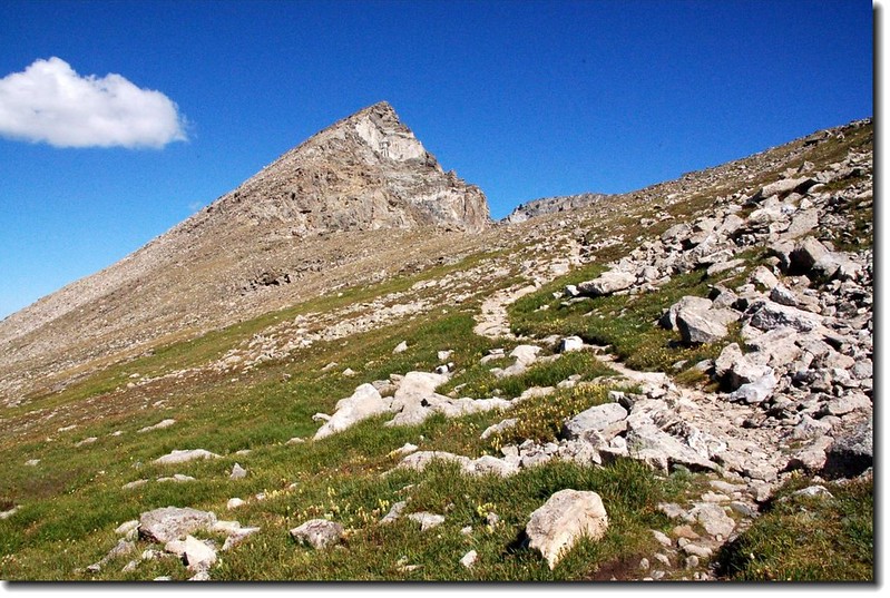
South Arapaho Peak from the south (2007.08.13)
10:00 登山口(Fourth of July Trailhead)出發,海拔10,172呎(3,100公尺),沿Arapaho Pass Trail西行。
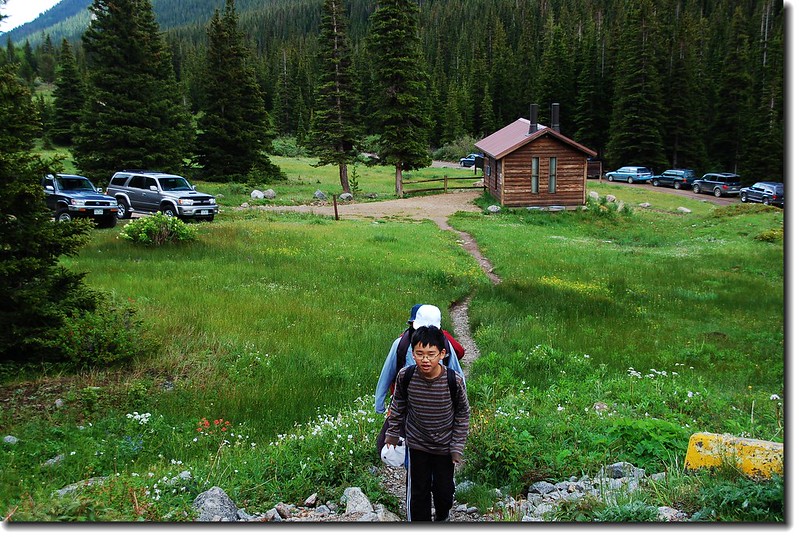
4th of July Trailhead parking lot
4th of July Trailhead
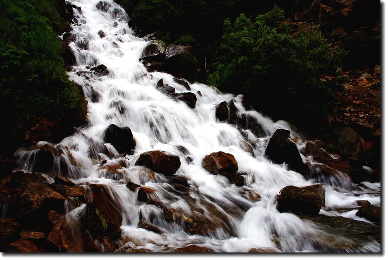
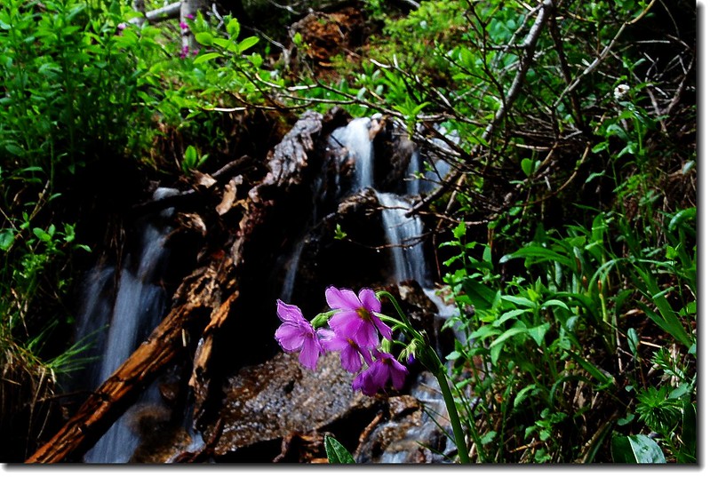
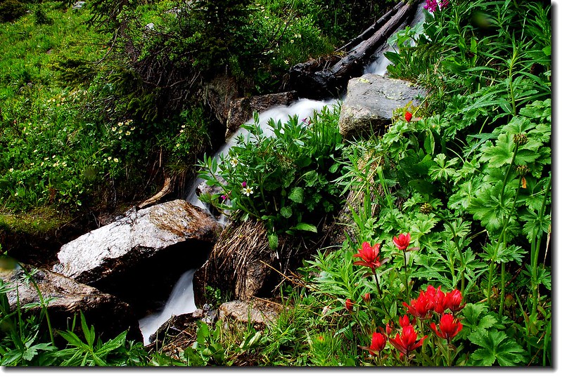
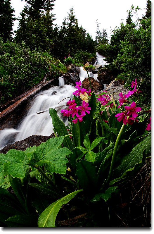
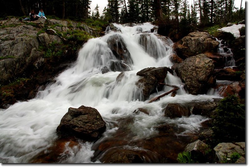
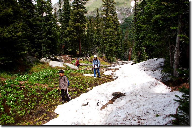
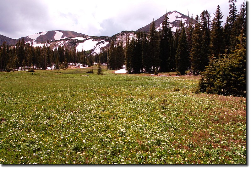
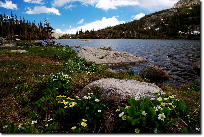
10:26 通過Indian Peaks Wilderness Backcountry 告示牌,距登山口0.4哩,海拔10,385呎。再行不久步道成“之”字形在杉林中盤升。穿出杉林後步道轉為平緩狹小,但視野寬闊可遠眺西南方向群山;Diamond Lake出水口形成一串數百呎的垂瀑,懸掛在對面山谷上,煞是壯觀。步道兩旁野花盛開。
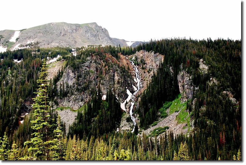
Overlooking a waterfall that Diamond Lake’s outlet
On the trail
A lot of hiker on the trail
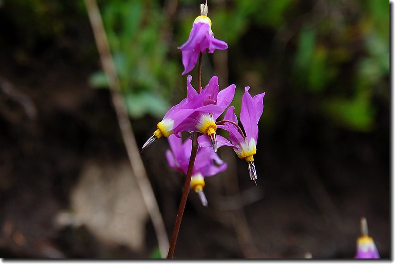
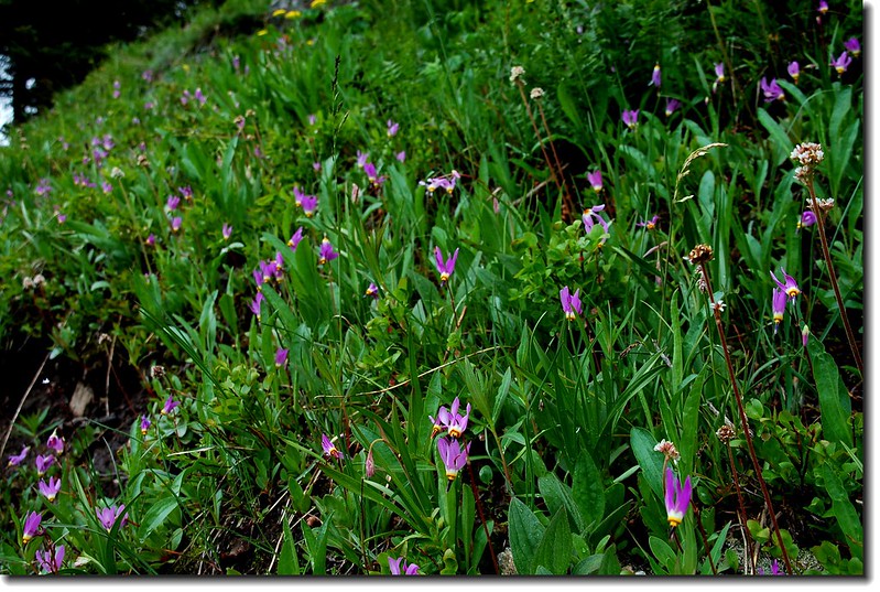
11:05 右側山坡發現一大片Shooting Star Flowers。
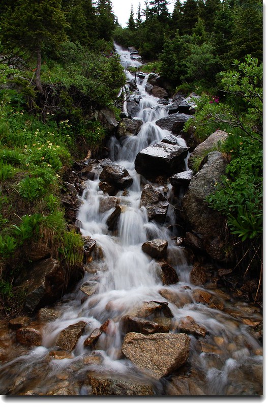
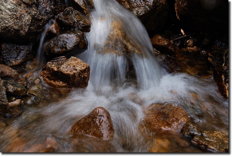
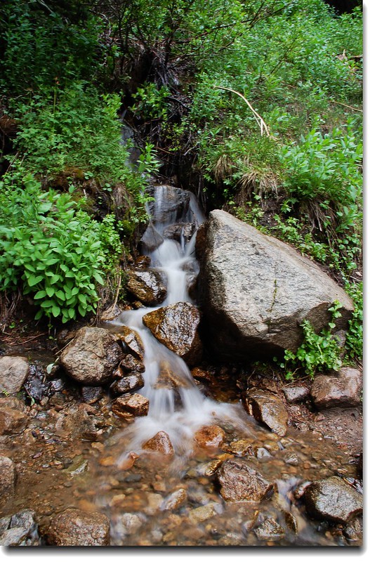
11:10 通過一個不小的小溪澗(流瀑),一路走來有不少類似小流瀑,這一處是比較大的一個;此地距登山口1哩,海拔10,650呎。

11:27 岔路口(Arapaho Pass Trail junction),右線續行為Arapaho Pass;左岔為Diamond Lake Trail。此地距登山口約1.15哩,海拔10,752呎。取左下南行,緩下坡。

The trail descends to the North Fork of Middle Boulder Creek
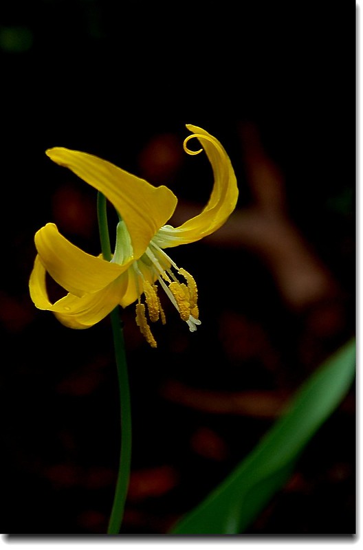
11:30 陸續發現Glacier Lily,其數量不比前幾天在Bluebird Lake看到的少,又殺了不少記憶體。
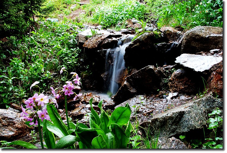
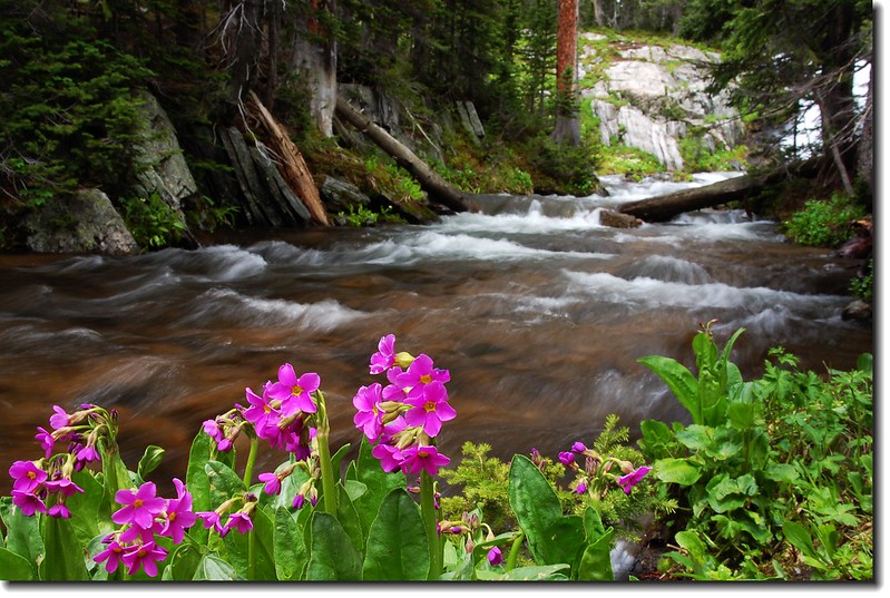
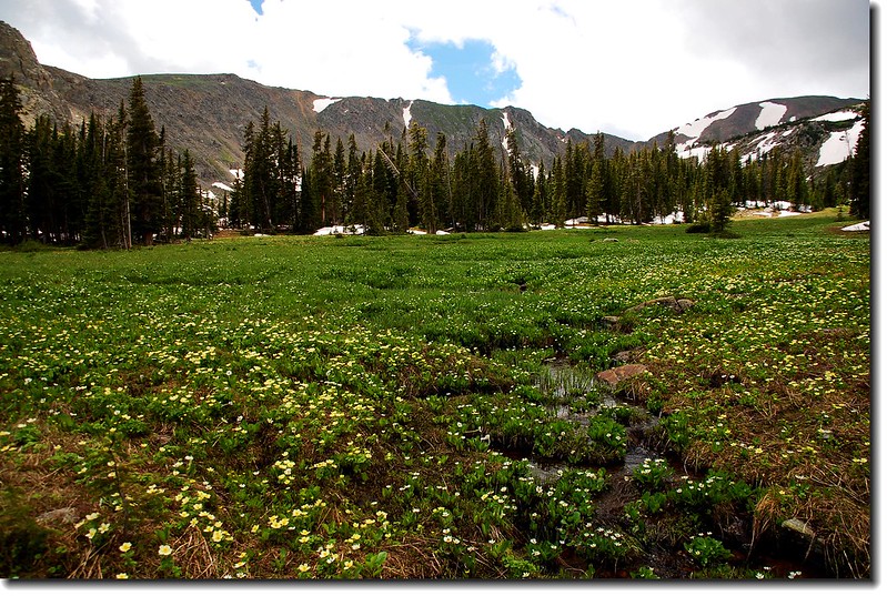
此下坡路段大部分在森林中穿行,不算難走,只是正值融雪期,雪水四處流竄,路面溼答答地,一不小心可能弄濕鞋襪。路旁不少小溪澗,沼澤濕地野花四處盛開。
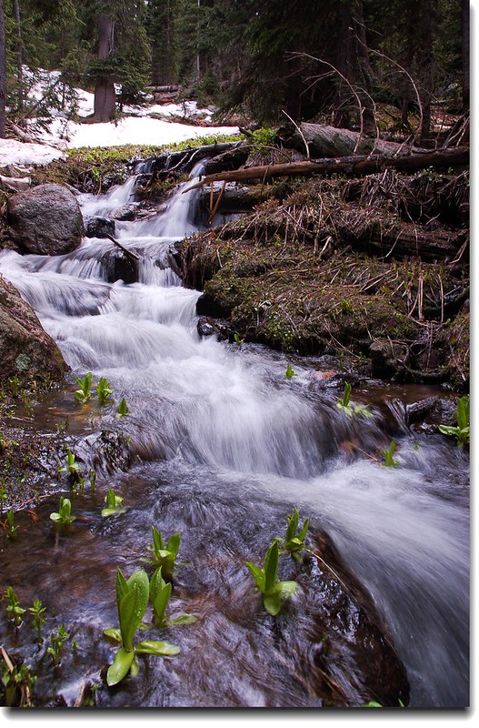
11:56 從岔路口下行約半哩多後遇一座木橋跨過North Fork of Middle Boulder Creek,此處瀑布極為壯觀,孩子們肚子餓了,就在瀑布下用餐。此地距登山口1.7哩,海拔10,602呎。

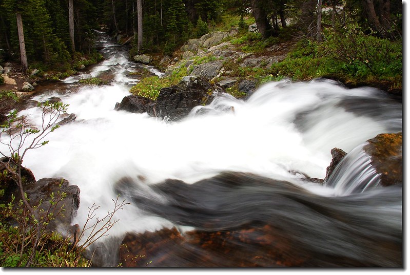
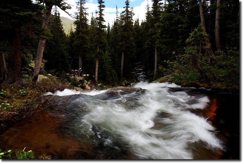
North Fork of Middle Boulder Creek
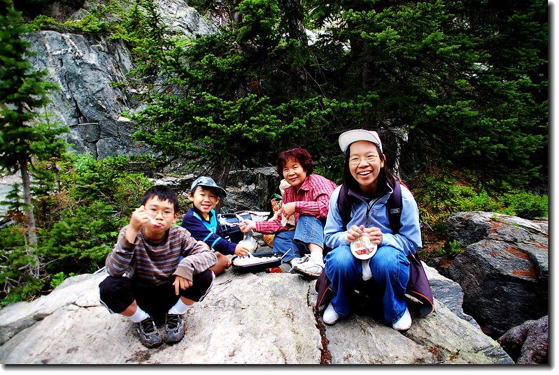
Take a picnic
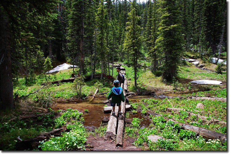
12:30 過木橋,步道開始在赤松林中盤升。路況跟前段溼地相同,雪水溢出,部份路段泥濘難走;較低窪地方不時出現整根松木為棧橋,人行其上才不致沾濕鞋襪。
The log bridge across the North Fork Middle Boulder Creek
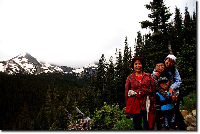
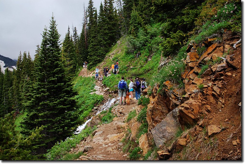
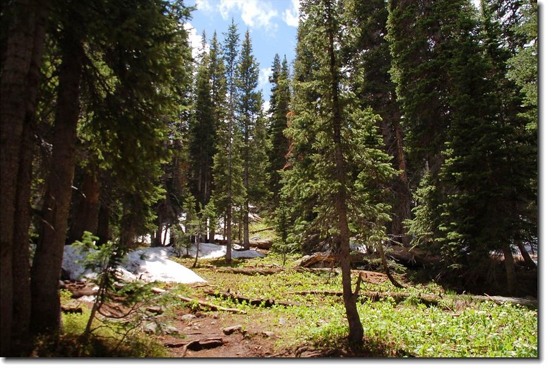
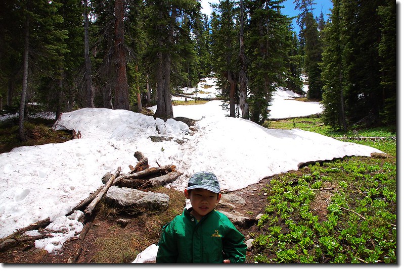
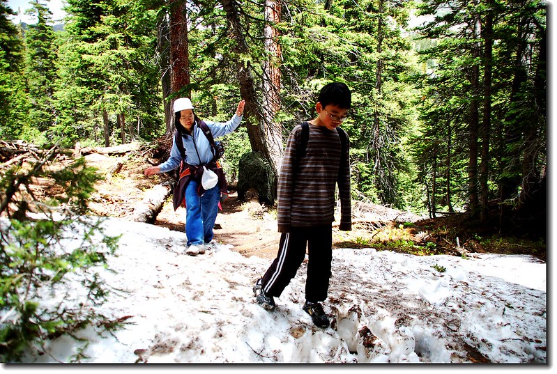
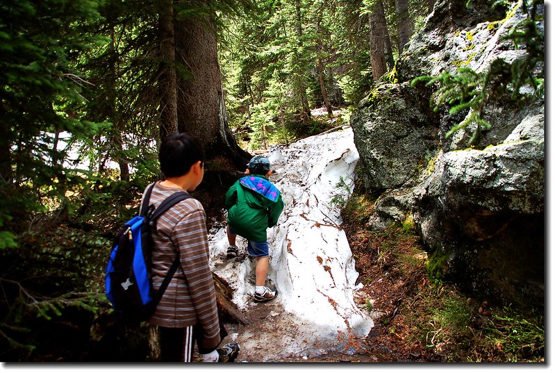
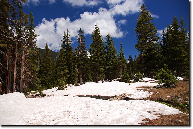
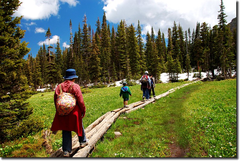
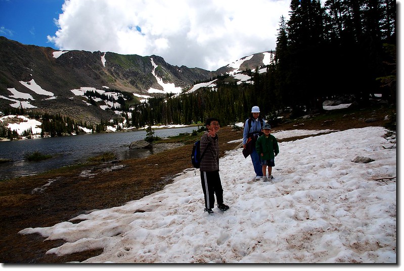
隨著高度的增加,積雪愈廣愈厚,掩蓋了原有路跡,必須仔細尋找才能走回正路。兩個小子在雪地松林中鑽行倒沒喊累或耍賴,倒是太座不適應高地,還需兩個小孫子不時等候和鼓勵呢!今天登山客不少,男女老少,雖不至於摩肩接踵,但在路窄處彼此等候讓路,倒也費去一些時間。
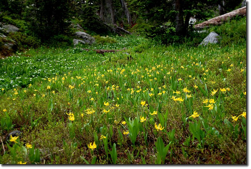
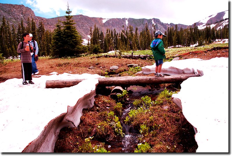
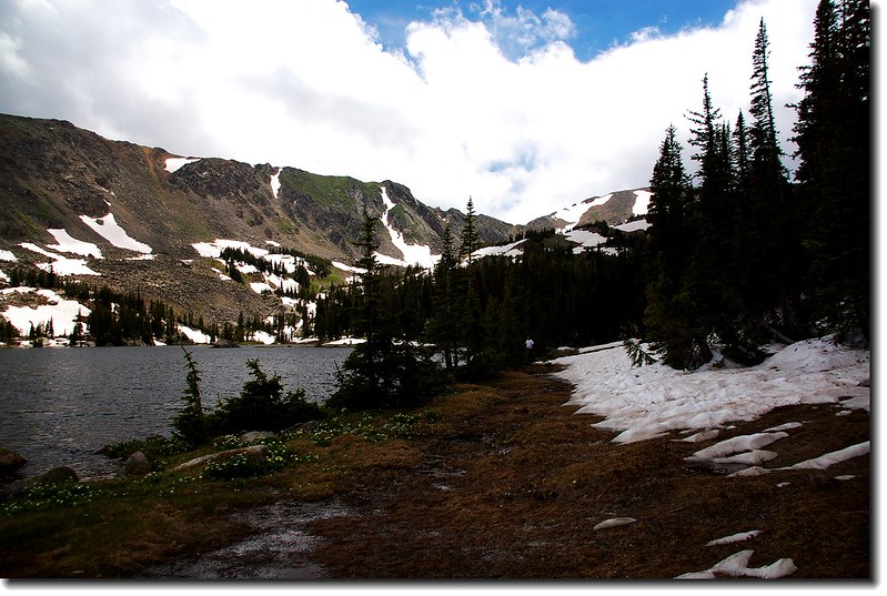
13:25 經過將近一個小時在森林、沼澤、雪地中艱苦的盤升,走了約一哩路、爬升約340呎,終於抵達Diamond Lake東南邊的大草原。草原長滿沼澤濕地野花,北望尖尖的山頭應是Mount Neva(12,814呎)山稜南邊的Jasper Peak (12,923呎)。長長的原木棧橋橫跨在大草原上供登山客行走。
A large meadow Before Diamond Lake
13:31 走過長長的原木棧橋來到Devils Thumb Trail junction,指示牌幾乎被雪淹沒,已不見路跡,順著指示及前人留在雪地上的足跡往Diamond Lake前進。
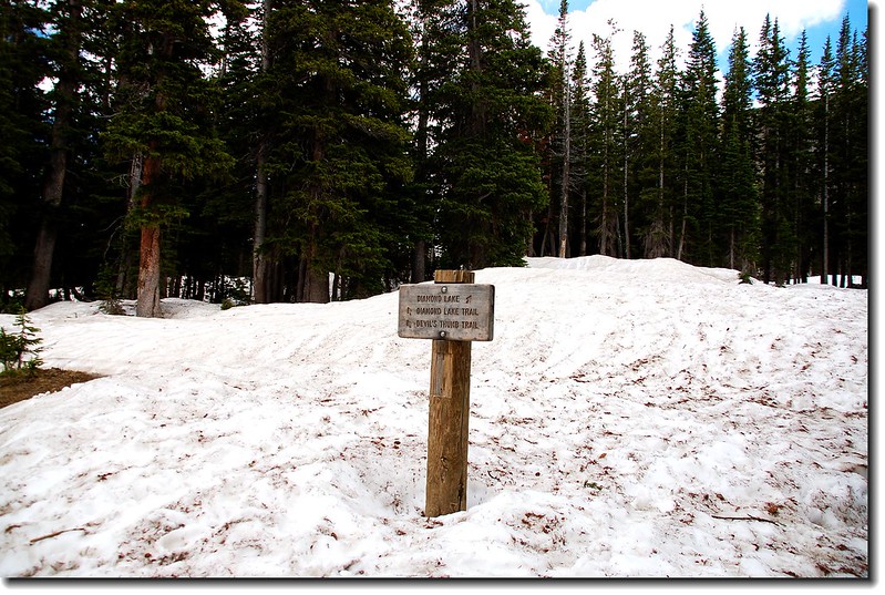
Devils Thumb Trail junction
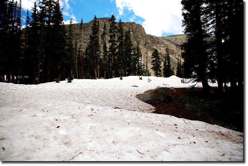

The trail to the lake was still covered in snow
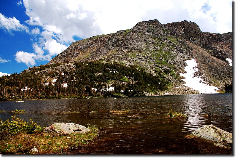
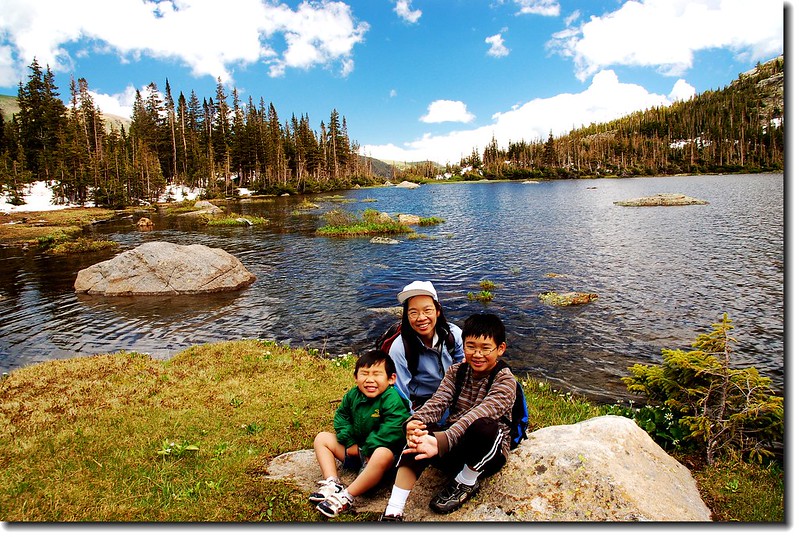
13:36 終於抵達Diamond Lake,距登山口2.65哩,海拔10,940呎(3,335公尺)。湖的四周仍被雪蓋住,行走不易,打消環湖的念頭,露營地也懶得去勘察了。
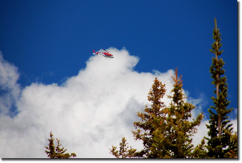
空中一架類似救難機飛過,有點突兀。
14:00 天氣預報午後陣雨,不做久留,下山。下山比上山難,又溼又滑,太座在雪地上滑了好幾跤,逗的貝貝和豆豆哈哈大笑。下山途中遇到又是冰雹、又是雨,幸好事先有準備雨具,才不致淋成落湯雞。
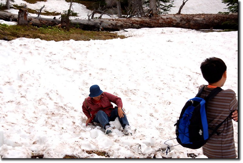
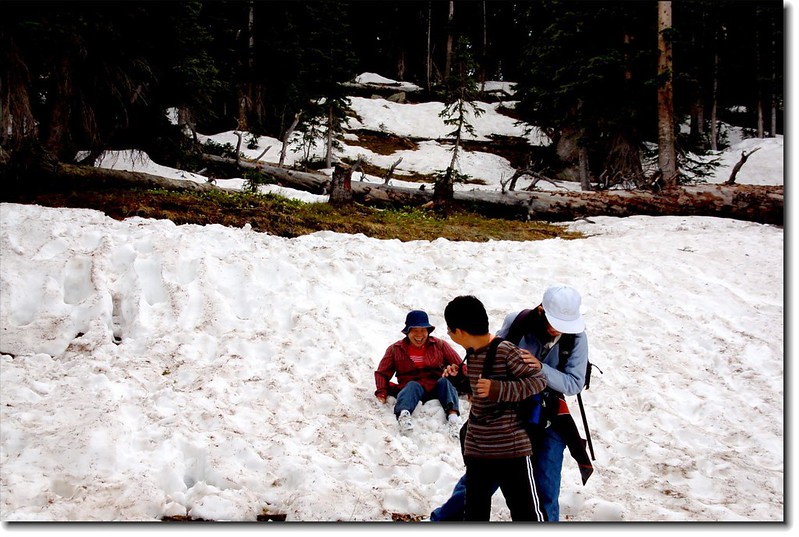
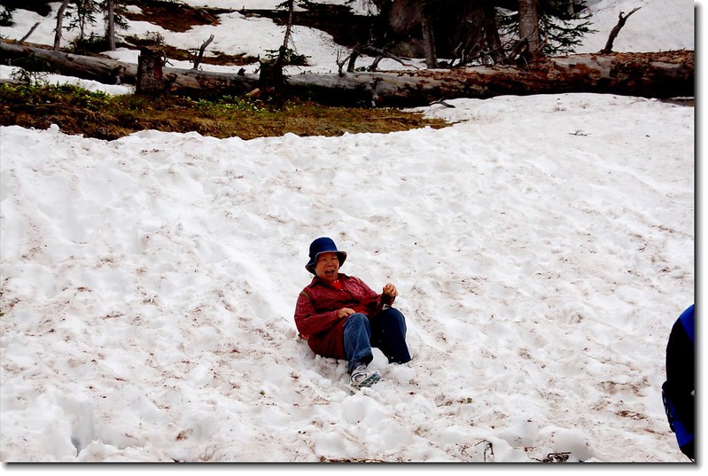
Are you skiing?grandma !
16:30 回到登山口,結束一趟愉快的Hiking。
沒有留言:
張貼留言