
Lake Isabelle
---------------------------------------------------------------------------------------------------
步道全長:來回約4哩(6.4公里)登山口:The Long Lake Trailhead (海拔10,480呎 / 3,194公尺)終 點:Lake Isabelle (海拔10,868呎 / 3,313公尺)爬升高度:約400呎(122公尺)花費時間:約2.5~3小時(來回)
----------------------------------------------------------------------------------------------------
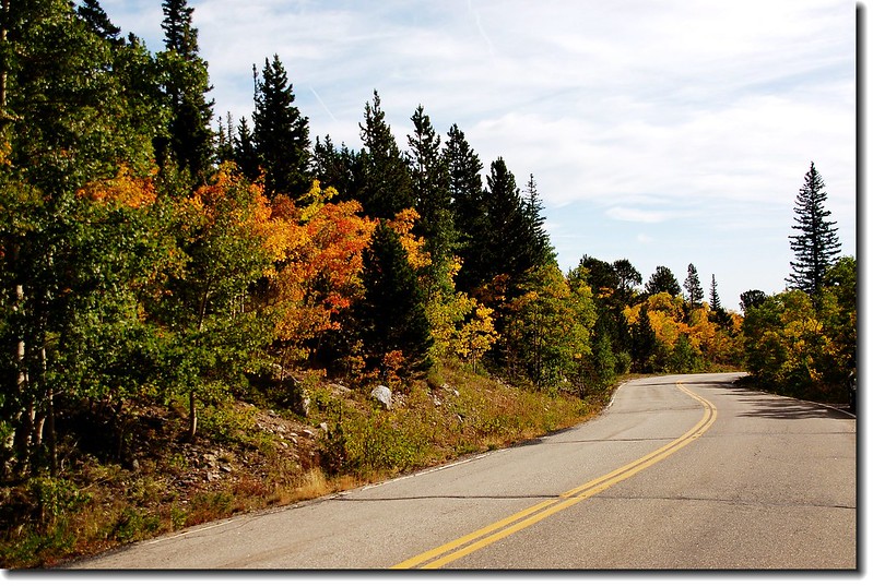
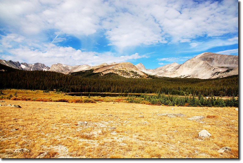
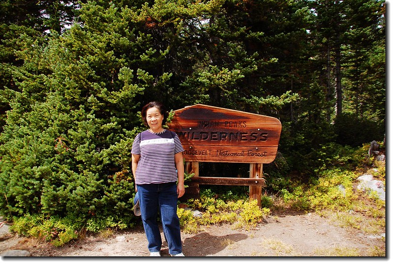
Lake Isabelle位在Indian Peaks Wilderness心臟地帶的Brainard Lake Recreation Area,登山口是The Long Lake Trailhead 。Brainard Lake Recreation Area在丹佛西北方約60哩(96公里)處;如果從Golden走72號公路(Peak To Peak)或由Boulder走119號公路到Nederland後續往北走12哩到達小鎮Ward,剛過小鎮路旁就可看到一面大指示牌指向西邊標明“Brainard Lake”,順著指示牌左轉沿Brainard Lake Road行約5哩即可到Brainard Lake ,中途2.6哩處會經過一收費站(夏季每一車輛9美元,持有國家公園年票-- America The Beautiful可適用;冬季大約10月初到次年6月中旬則免費。) The Long Lake Trailhead則續行約一哩,登山口有一停車場,但在夏季若不早到往往是客滿的。過了收費站後沿途會經過Red Rock Lake 和 Brainard Lake。
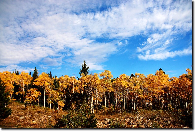
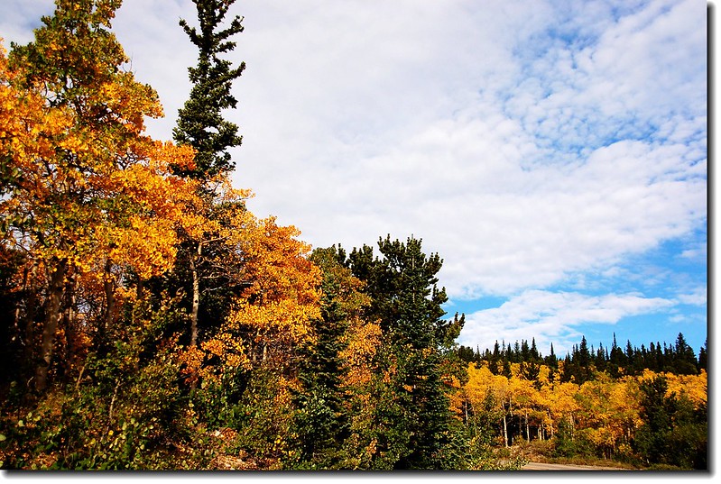
昨天經過 Brainard Lake Road 時,沿途的白楊木(Aspen)葉子已轉為金黃,比別的地方早了一點;科羅拉多秋天的變裝秀即將開場囉!

Red Rock Lake(Taken on 2009.06.24)
Brainard Lake
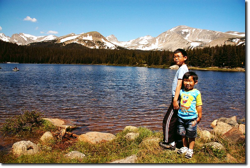
Brainard Lake(Taken on 2009.06.24)
從停車場的登山口“The Long Lake Trailhead”開始沿著 Pawnee Pass Trail 西行。

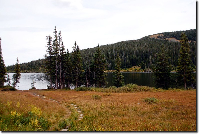
Long Lake Trailhead
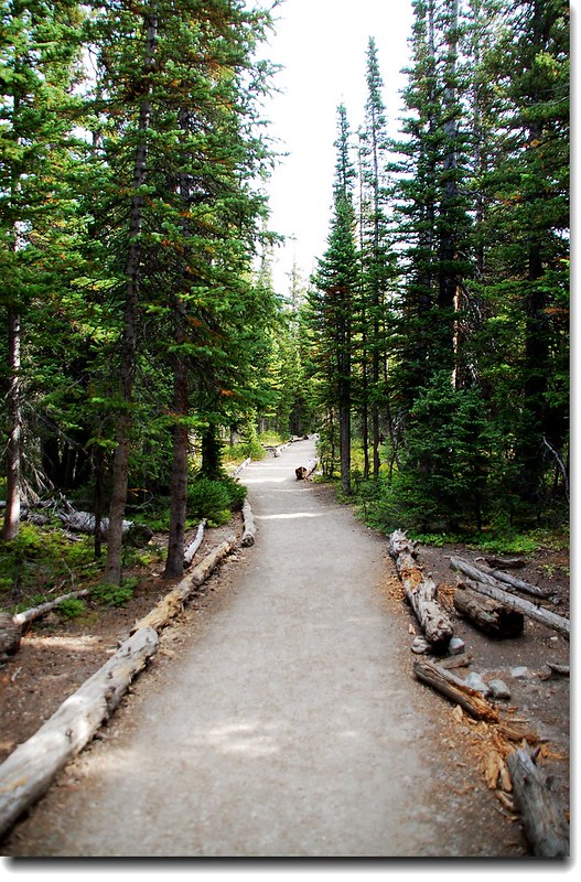
Long Lake Trail
約0.2哩到達 Long Lake ,左岔路是Long Lake的環湖步道 (The Jean Lunnings Trail) ,取右直行。
Long Lake
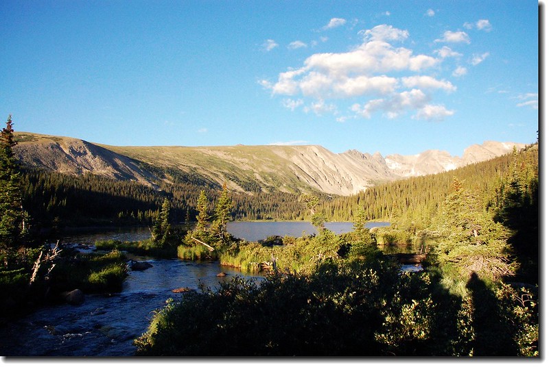
Long Lake(Taken on 2007.08.09)
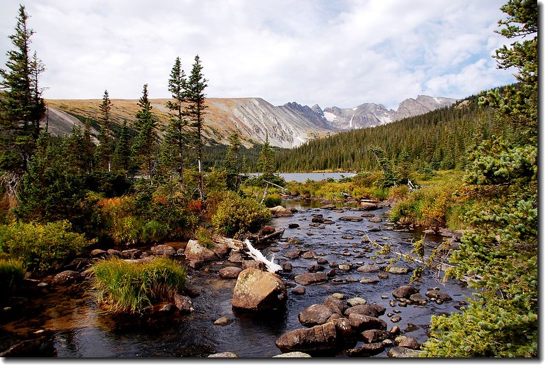
一路在松林林蔭下沿Long Lake的湖岸西行,距登山口約0.8哩處又和Long Lake的環湖步道 (The Jean Lunnings Trail) 交叉,自此步道離開Long Lake續往西沿Pawnee Pass Trail緩升。
Long Lake
步道自離開Long Lake西行一段距離後開始轉向北盤升,步道變得狹窄陡峭,但不至於太難走。
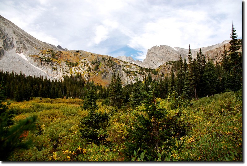
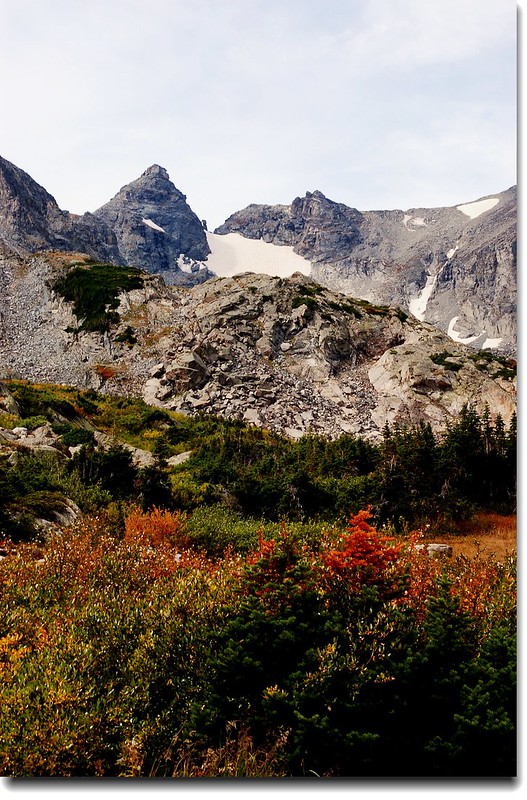
Overlooking Indian Peaks from Pawnee Pass Trail
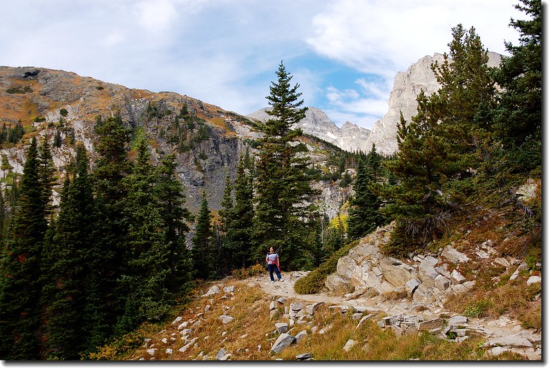
Pawnee Pass Trail
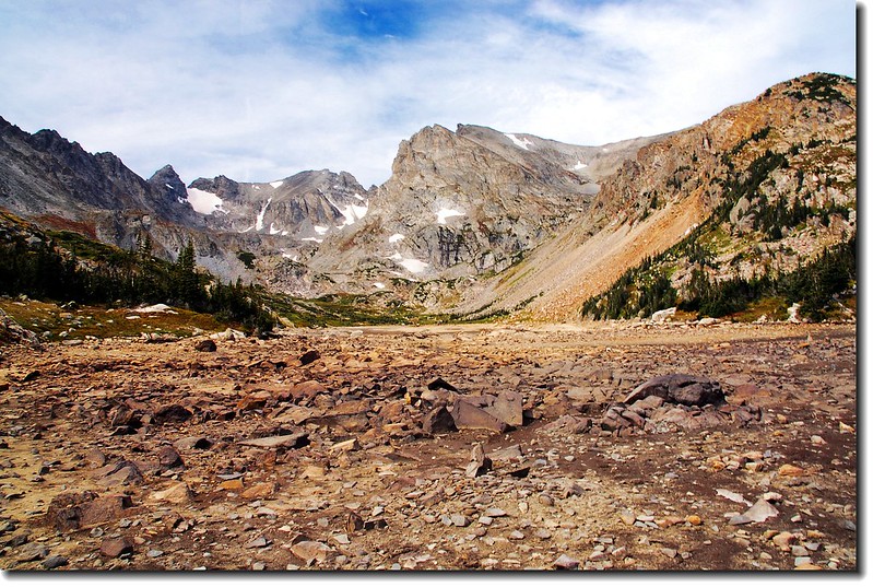
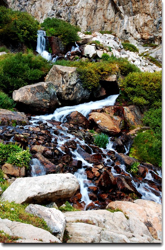
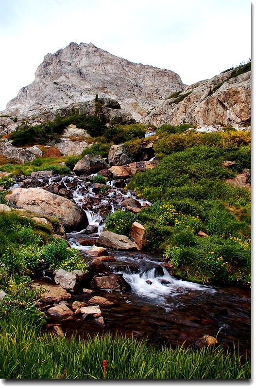
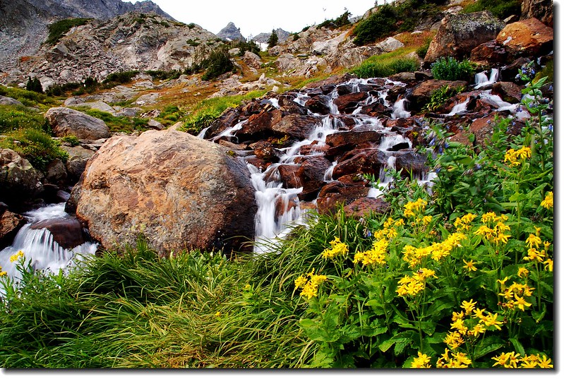
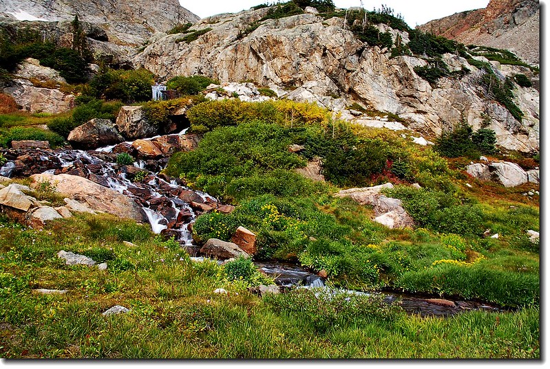
此較為陡峭的路段在經過一座木橋、小流瀑後便抵達Lake Isabelle Glacier Trail 和 Pawnee Pass Trail的岔路,循Lake Isabelle Glacier Trail走不久便抵達Lake Isabelle 。若沿Pawnee Pass Trail續行則可到達Pawnee Pass、Pawnee Peak,該路線兩年前曾走過,不錯的行程。
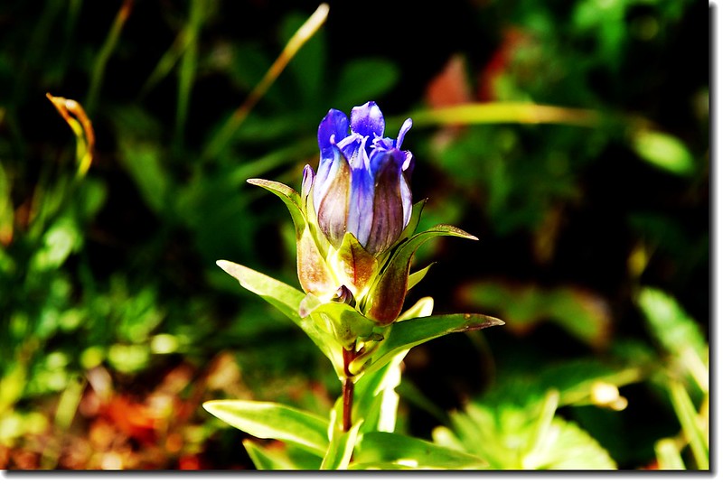
Mountain gentian
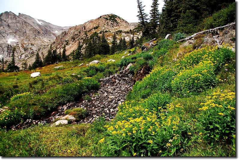
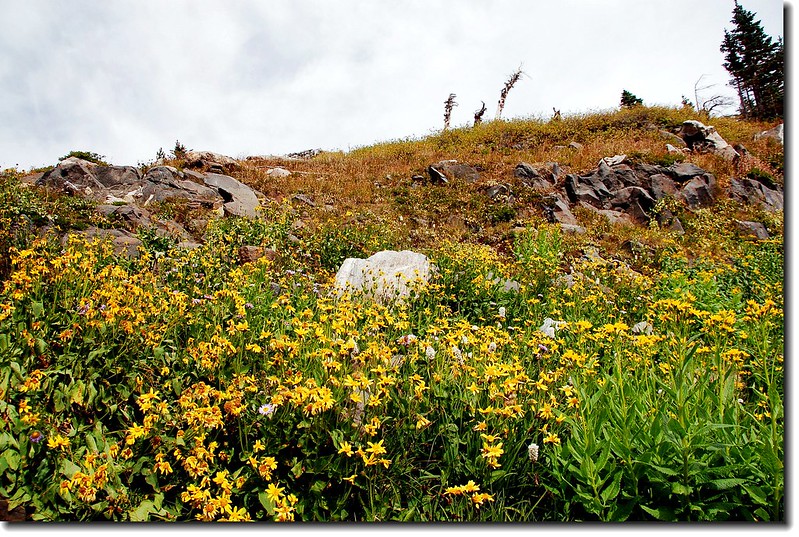
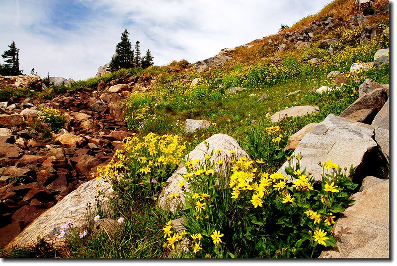
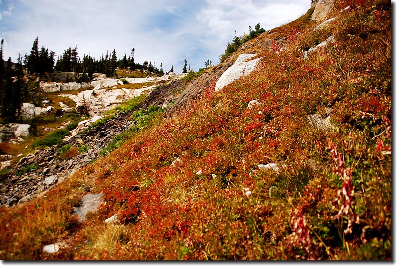
沿途及湖岸野花
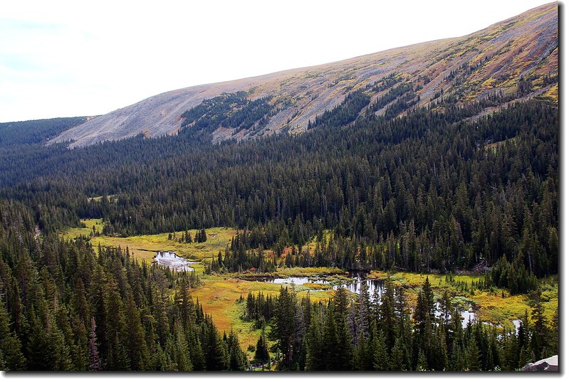
湖岸俯瞰岸下沼澤地
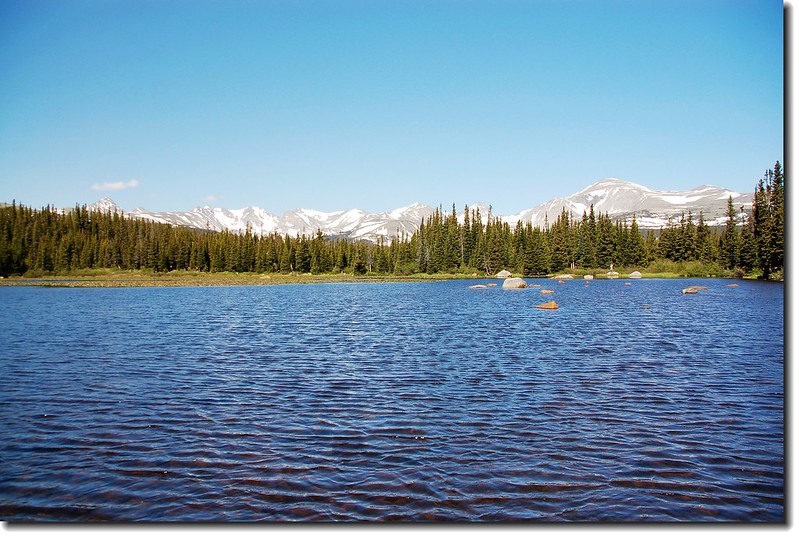
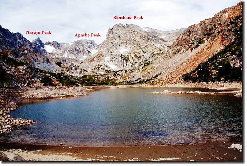
Lake Isabelle海拔10,868呎 / 3,313公尺,湖水是由其上頭一哩之遙的Isabelle Glacier的融雪所供應,湖的背面聳立著Navajo Peak(13,409'), Apache Peak(13,441'), 和 Shoshoni Peak等高山,很是壯觀;可惜此次來到湖邊湖水出奇的少,所以顯不出其壯觀美麗。

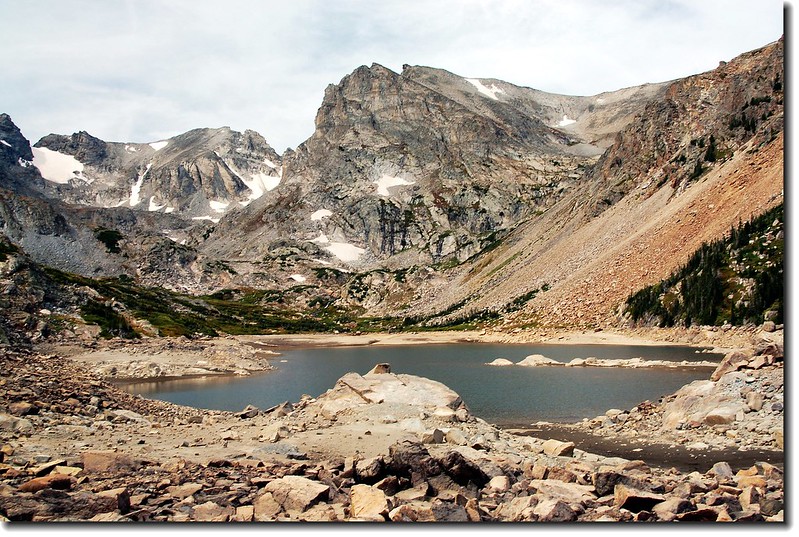


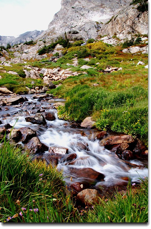
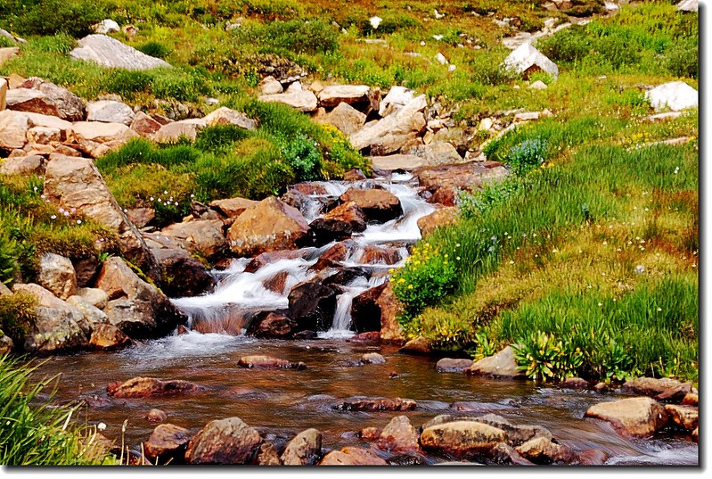
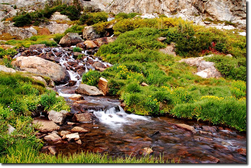
下列照片拍攝於湖的西岸較高地點,小瀑的水來自其上頭一哩之遙的Isabelle Glacier的融雪,匯集到Isabelle Lake。
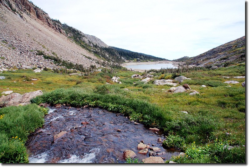
西岸制高點俯瞰Lake Isabelle
沒有留言:
張貼留言