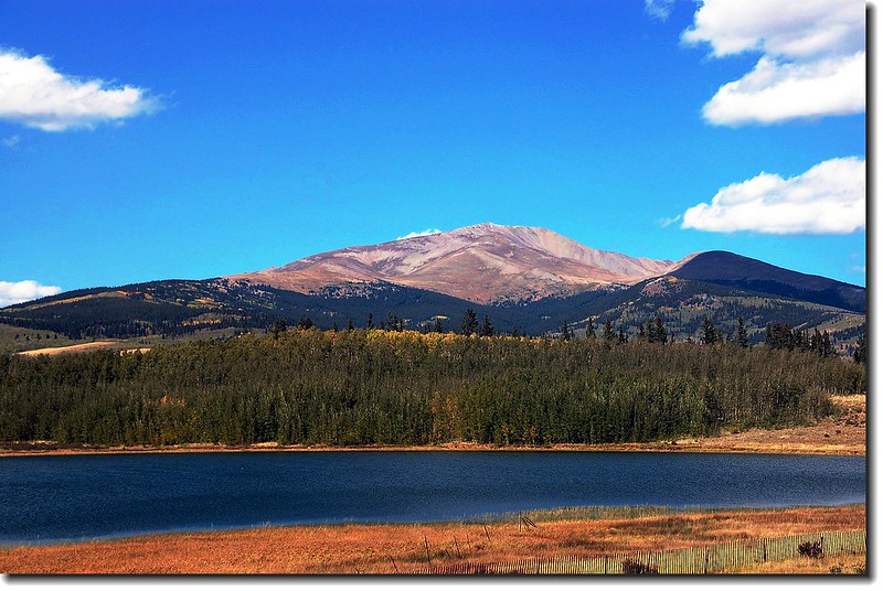
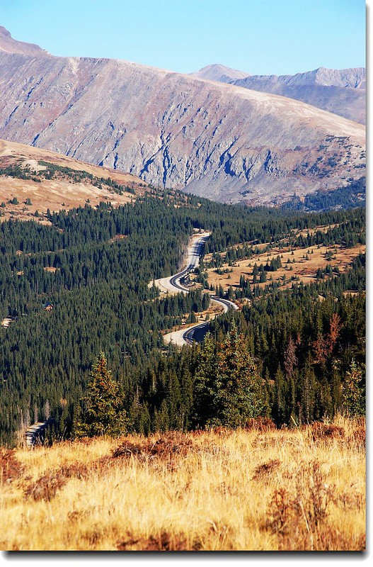
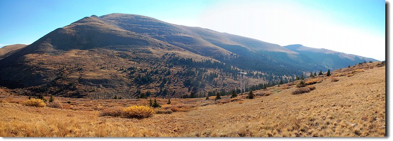
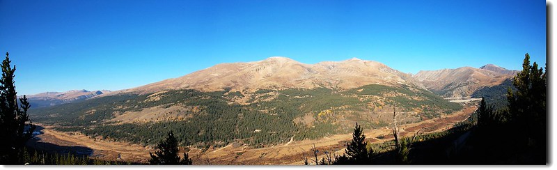
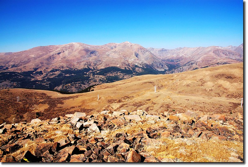
Mount Silverheels (viewed from US-285)
山岳簡介:
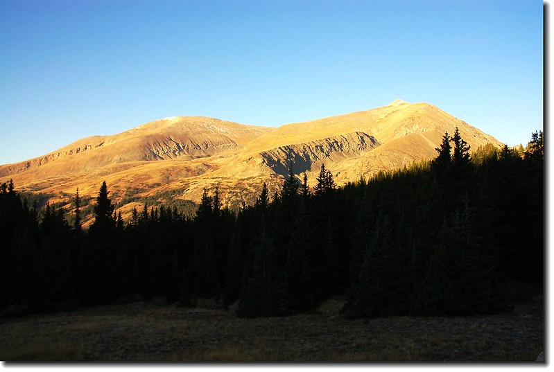
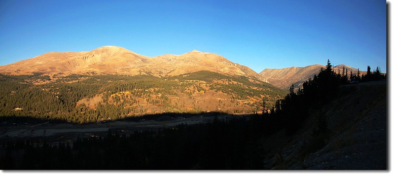
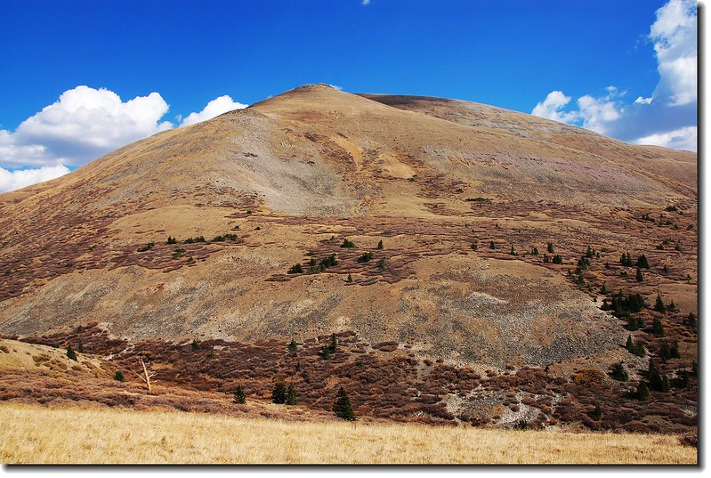
Mount Silverheels 隸屬科羅拉多州Mosquito 山脈,介於Breckenridge 和 Fairplay 兩小鎮之間,海拔13,822 呎 (4,213 公尺),在科州637個海拔超過13,000 呎 (3,962 公尺)的高山中排名第96高,此山西邊有五座14ers (Quandary Peak、Mount Lincoln、 Mount Bross、Mount Democrat 、Mount Cameron)隔著CO-9 公路(Hoosier Pass)與它遙遙相望。
美麗溫馨的傳說
Mount Silverheels 是以19世紀中葉一位舞廳女孩之綽號為名,該女孩是一位在此山西邊的採礦營地Buckskin Joe 舞廳的舞者,她平常喜歡在舞廳裡穿著銀色鞋子而得到這個綽號。
1861年天花流行病侵襲這個採礦營地,大部分的礦工被要求繼續留下來工作,而大部分的婦女和小孩則逃到了丹佛。Silverheels沒有離開,她選擇留了下來,在流行病流行期間她照護她的朋友和鄰居,不久她也染病,後來雖戰勝了病魔,但天花在她美麗的臉上留下了水痘的疤痕,她跑到了她位在Mount Silverheels山腳下的木屋裡,等到疫情過去,劫後餘生的礦工們想集資一些金錢送給這個女孩作為感謝,不久便籌到了5,000美金,等到礦工們把錢送到Silverheels的木屋時,她們發現Silverheels不見了,她的木屋看似無人居住,多數人們相信她是因為天花留下的痘痘斑痕而隱藏起來,這些錢最後不得不又還給礦工,但為了要感謝她就把這座山命名為Mount Silverheels。
幾年後Buckskin Joe因淘金潮消退而沒落,有人聲稱看到一位頭罩黑色面紗的婦人在當年因罹患傳染病身亡者的墳墓上獻上鮮花,直至今日仍有人聲稱看到一位頭罩黑色面紗的婦人在當年因罹患傳染病身亡者的墳墓中徘徊。
--------------------------------------------------------------------------------------------------------------------------------------------
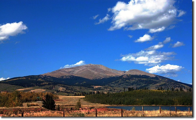
Mount Silverheels (viewed from US-285)
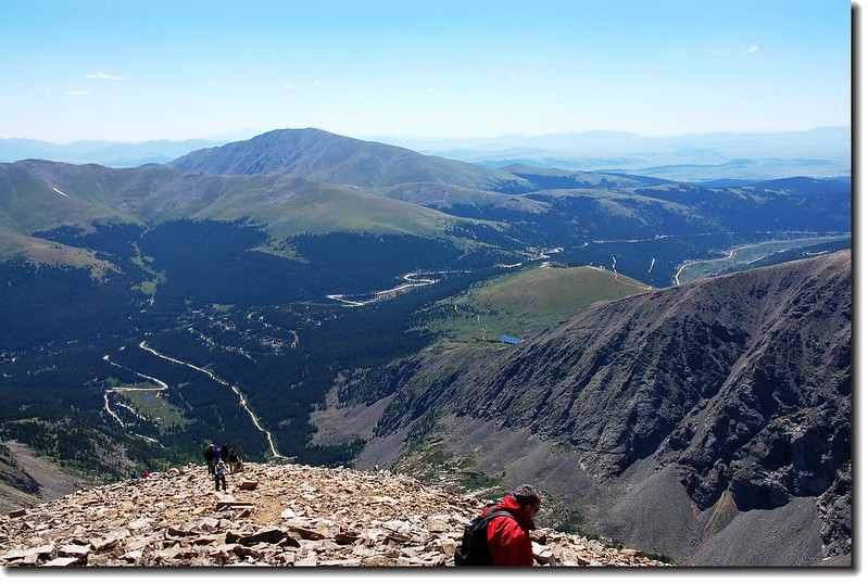 Mount Silheels from Quandary Peak
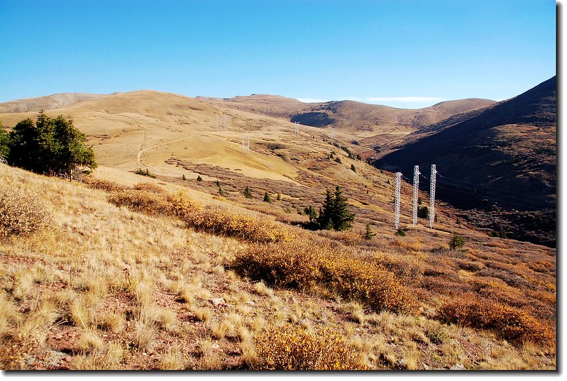
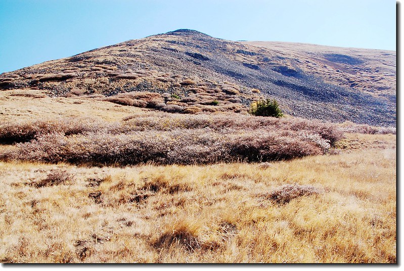
攀登Mount Silverheels有South Ridge、Hoosier Pass/Hoosier Ridge/North Spur、Beaver Ridge 和East Ridge 四條路線,此次攀登我走的是從Hoosier Pass南邊二哩處的Beaver Ridge路線。
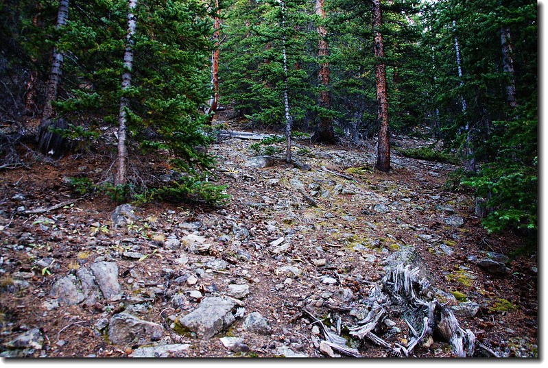
此山雖然是13ers,但其難度不亞於14ers;科羅拉多的14ers較多人去爬,而且有14ers協會的志工定期維修步道,所以一般而言步道並不難走,反觀部分13ers的高山因較少受到登山客的青睞,步道無人維修,所以其難度相對增高。以此山為例,從登山口開始到登頂,我走在看出是步道的部分不及全程之四分之一,尤其是前半段的一哩路就在松林中摸索前進,毫無路跡,真服了這裡的登山客,也因此,我預定用五到六小時可爬完的行程竟用去了七個半小時,還真有點累。
--------------------------------------------------------------------------------------------------------------------------------------------
攀登等級:Class 2
Mount Silverheels (viewed from US-285)
Mount Silheels from Quandary Peak攀登Mount Silverheels有South Ridge、Hoosier Pass/Hoosier Ridge/North Spur、Beaver Ridge 和East Ridge 四條路線,此次攀登我走的是從Hoosier Pass南邊二哩處的Beaver Ridge路線。
此山雖然是13ers,但其難度不亞於14ers;科羅拉多的14ers較多人去爬,而且有14ers協會的志工定期維修步道,所以一般而言步道並不難走,反觀部分13ers的高山因較少受到登山客的青睞,步道無人維修,所以其難度相對增高。以此山為例,從登山口開始到登頂,我走在看出是步道的部分不及全程之四分之一,尤其是前半段的一哩路就在松林中摸索前進,毫無路跡,真服了這裡的登山客,也因此,我預定用五到六小時可爬完的行程竟用去了七個半小時,還真有點累。
--------------------------------------------------------------------------------------------------------------------------------------------
攀登等級:Class 2
海拔:13,822 呎 (4,213 公尺)
登山口:Hoosier Pass (South)
登山口海拔:10,900呎 (3,322公尺)
爬升高度:3,650呎 (1,113公尺)
步道里程(來回):6哩 (9.6公里)
花費時間:7小時30分
--------------------------------------------------------------------------------------------------------------------------------------------
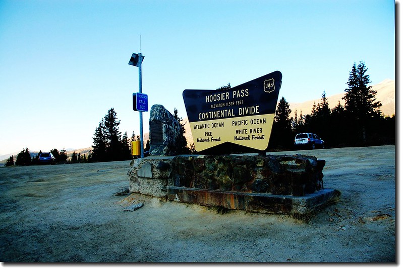
登山口行車指南:
由I-70州際公路203出口走CO-9公路南下,經Frisco 到 Breckenridge後續循CO-9公路南行,到達Hoosier Pass 高點後續往南行約2哩,路右一大空地停車,登山口在前方約200公尺公路左側。
 Quandary Peak from Hoosier Pass
Hoosier Pass
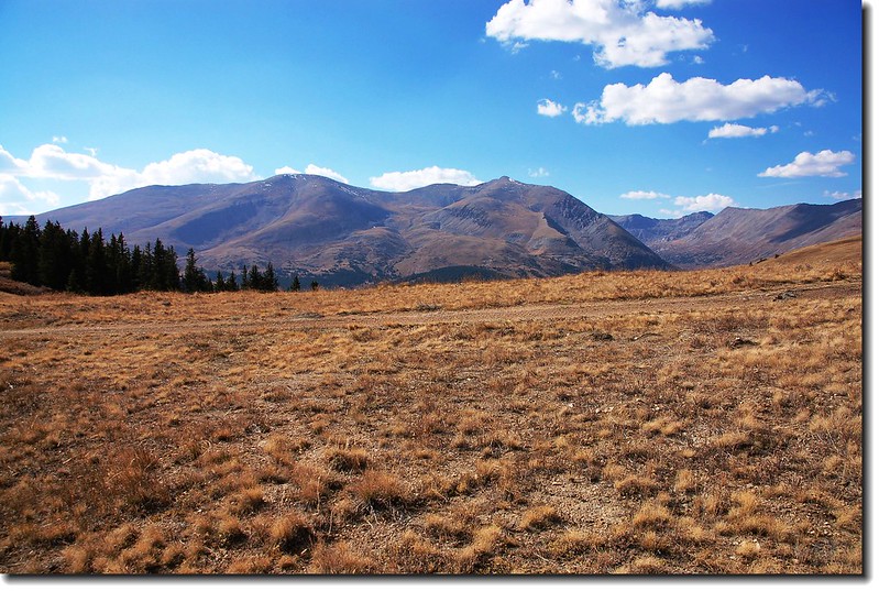
Mt. Bross (L) and Mt. Lincoln (R) From Hoosier Pass view to West
Quandary Peak from Hoosier PassHoosier Pass
Mt. Bross (L) and Mt. Lincoln (R) From Hoosier Pass view to West
Mt. Bross (L) and Mt. Lincoln (R) From trailhead view to West
登山口資訊點此→Google地圖
登山口資訊點此→Google地圖
詳細行程:
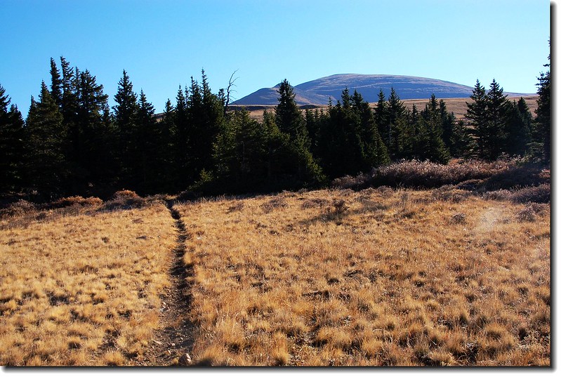
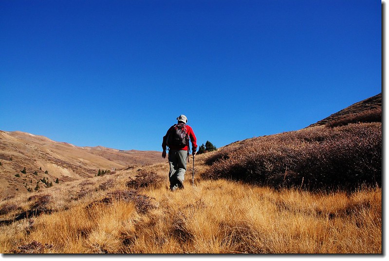
08:00 登山口出發,登山口是一條土石路,行沒多久見一私人土地警告牌,右切入松樹林,沿CO-9公路平行走約兩百公尺,見較緩坡處即往左上切,別奢求有路跡,認定東邊方向,矇頭往上爬就是。途中遇一兩處越野摩托車車道,別理會,續往上切。
Looking down the trailhead from on the trail
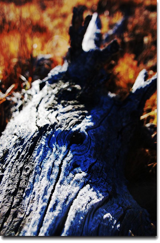
Dry wood
Near the Beaver ridge top

Quandary Peak (R) & North Star Mt. from the trail
Looking down the trailhead from on the trail
Dry wood
Near the Beaver ridge top
Quandary Peak (R) & North Star Mt. from the trail
09:05 遇一Jeep Road (11,900 呎),循此路北行到鞍部,或越過此路爬上最高點,我採後者。

Jeep road across Beaver ridge
Jeep road across Beaver ridge
09:10 抵達Beaver Ridge 山頂 (12,033 呎)。東望今天的目的地Mount Silverheels,西眺Mt. Bross 、 Mt. Lincoln和 Quandary peak等幾座14 ers高山。
Mount Silverheels from Beaver Ridge view to East
Looking down Beaver Creek from Beaver ridge
View to West from Beaver ridge
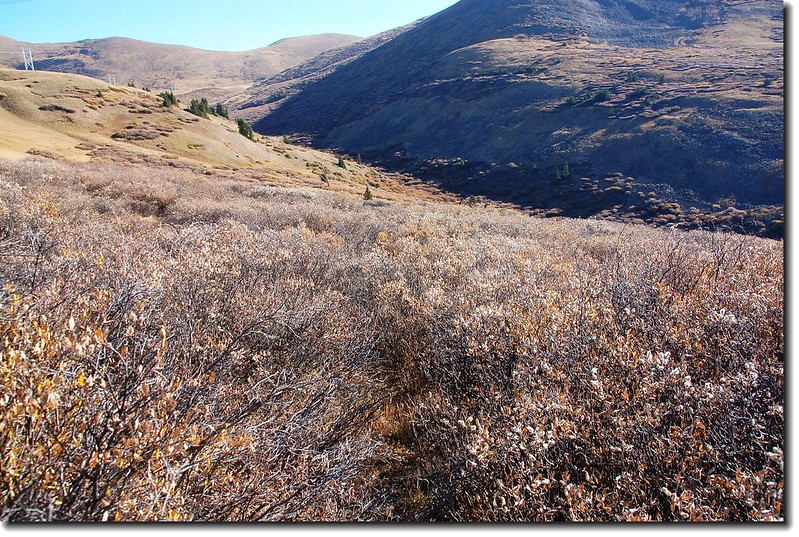
開始往東邊的 Beaver Creek下切,茂密的Willow 樹叢很難搞定,費了好一段時間才殺出重圍下到小溪邊。
Mount Silverheels from Beaver Ridge view to East
Looking down Beaver Creek from Beaver ridge
View to West from Beaver ridge
開始往東邊的 Beaver Creek下切,茂密的Willow 樹叢很難搞定,費了好一段時間才殺出重圍下到小溪邊。
09:30 Beaver Creek (11,700 呎)。
越過小溪開始往上爬,沒路跡,目標最高點,各憑本事。
Looking up the trail
Looks back down the trail
Taken it by myself
10:42 抵達12,200呎高點。再往下一個高點12,984高地前進。
Mt. Bross (L) and Mt. Lincoln (R) From Point 12,200 ft..

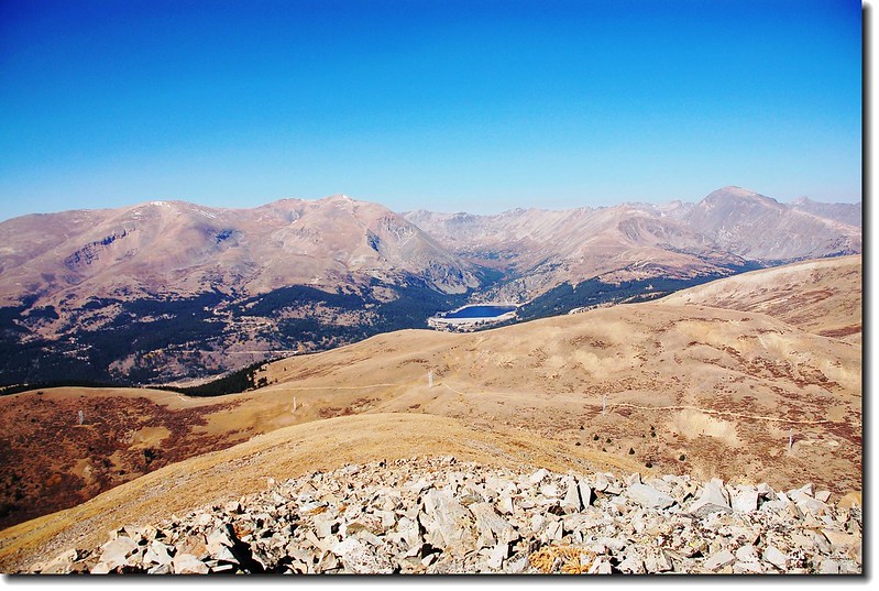
Montgomery Reservoir from Silverheels
Looks up to Point 12,984 ft.
Point 12984 ft.
Taken it by myself
10:42 抵達12,200呎高點。再往下一個高點12,984高地前進。
Mt. Bross (L) and Mt. Lincoln (R) From Point 12,200 ft..
Montgomery Reservoir from Silverheels
Looks up to Point 12,984 ft.
Point 12984 ft.
11:04 好不容易地登上 12,984呎高地,目標近了!

Point 12984 ft..
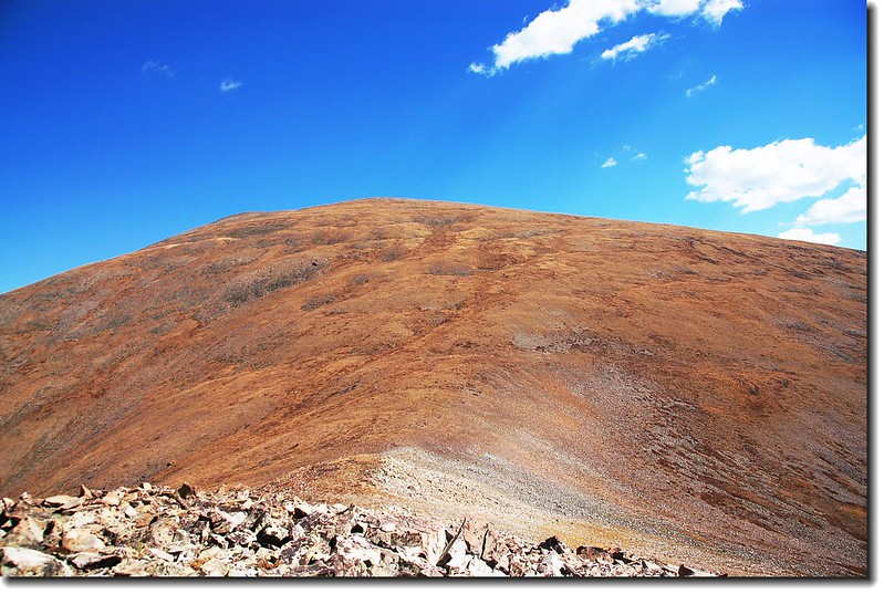
Silverheels' summit from Point 12,984 ft..
Bross、Lincoln、North Star、Quandary (L to R) From Point 12,984 ft
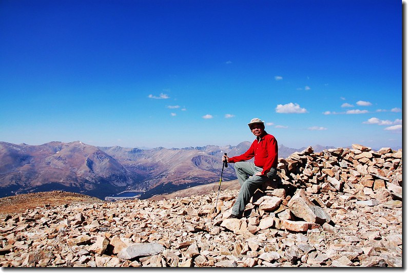
12:25 累得像隻狗似地登上山頂,這個時節爬山實在不是時候,山頂無雪(今年反常,往年此時山頂已是白雪靄靄),步道無花,亂枯燥無味的!
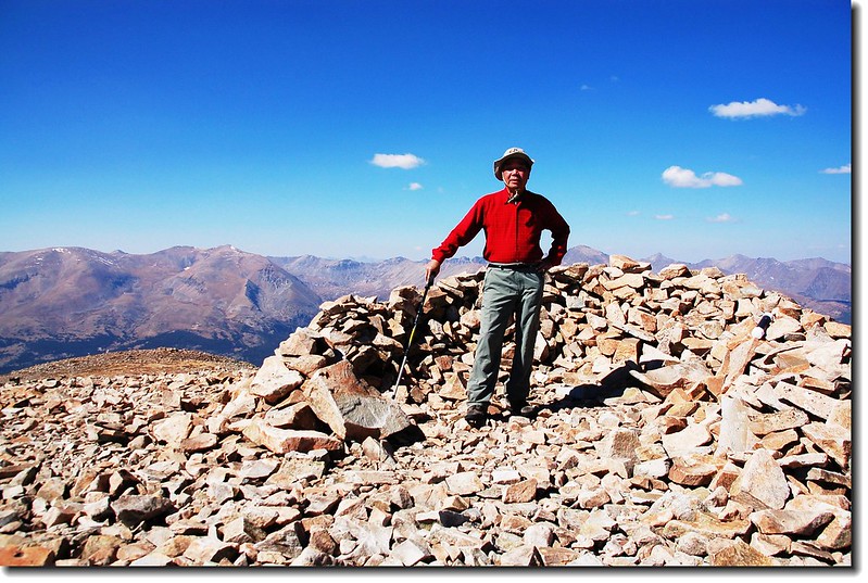
On the Silverheels' summit

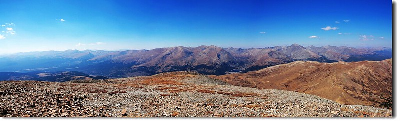
Tenmile Range as seen from Silverheels.
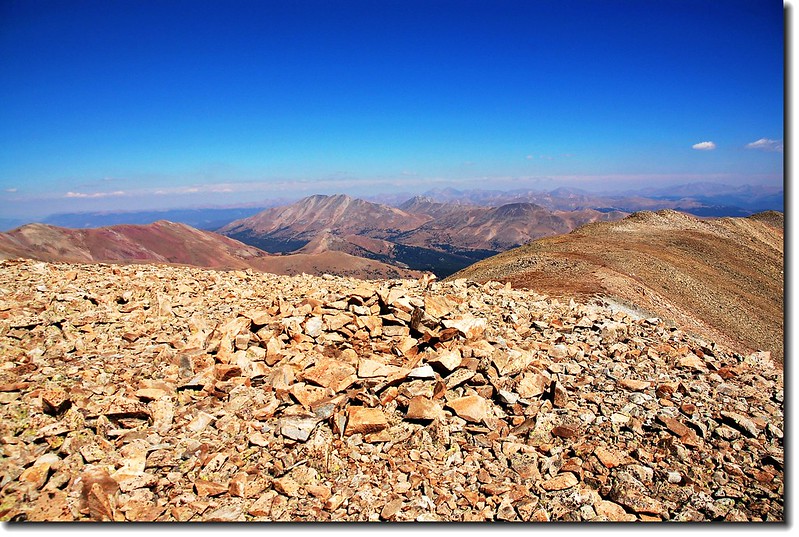
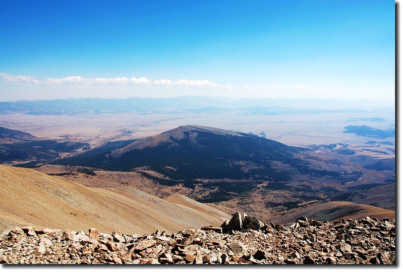
View to Mosquito Range from Silverheels' summit
View to North from Silverheels' summit
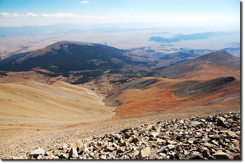
View to West from Silverheels' summit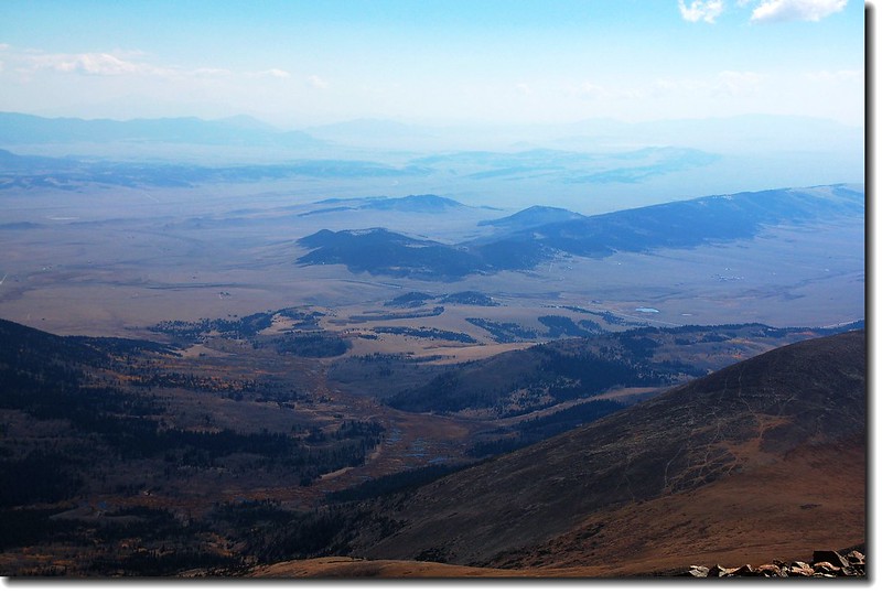
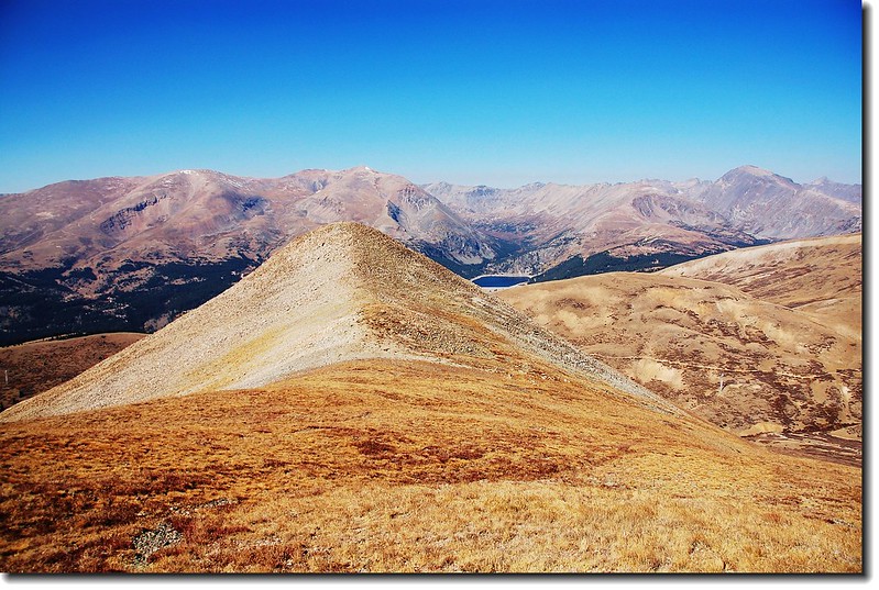
Looking SE to South Park From the summit of Silverheels
Little Baldy Mountain (12,142'), seen from Mount Silverheels' summit
Little Baldy Mountain (12,142'), seen from Mount Silverheels' summit
 Bald Mountain (M) Looking NE from Silverheels
Point 12984 ft..
Silverheels' summit from Point 12,984 ft..
Bross、Lincoln、North Star、Quandary (L to R) From Point 12,984 ft
12:25 累得像隻狗似地登上山頂,這個時節爬山實在不是時候,山頂無雪(今年反常,往年此時山頂已是白雪靄靄),步道無花,亂枯燥無味的!
On the Silverheels' summit
Tenmile Range as seen from Silverheels.
View to Mosquito Range from Silverheels' summit
View to North from Silverheels' summit
View to West from Silverheels' summit
Looking SE to South Park From the summit of Silverheels
Little Baldy Mountain (12,142'), seen from Mount Silverheels' summit
Little Baldy Mountain (12,142'), seen from Mount Silverheels' summit
Bald Mountain (M) Looking NE from Silverheels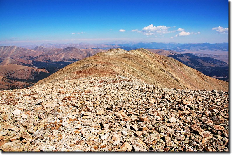
NE Ridge of Silverheels

View to North from Silverheels' summit
13:00 山頂好冷,穿了一件排汗衫、一件中層衣外加羽毛衣,還得躲在避風石堆裡,不宜久留,下山。
Looking down Point 12,984 ft. from the trail
13:40 下抵 12,984高地。
13:40 下抵 12,984高地。
13:55 抵達 12,200高地。
14:28 來到Beaver Creek 。
14:50 重回Beaver Ridge ,越過Jeep Road,下山。
Mt. Bross (L) and Mt. Lincoln (R) From Beaver Ridge
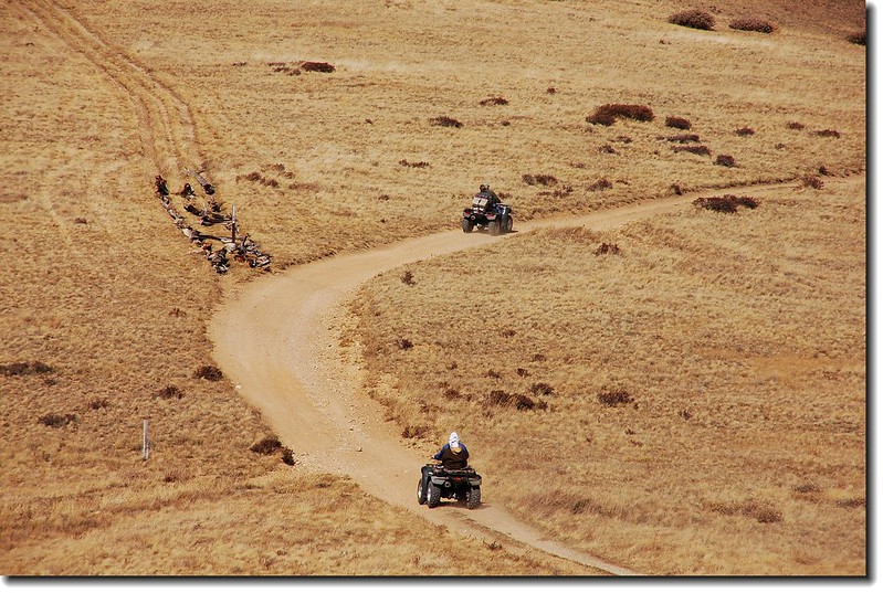
ATV on the jeep road
15:30 返抵登山口,開車回家。
ATV on the jeep road
15:30 返抵登山口,開車回家。
沒有留言:
張貼留言