
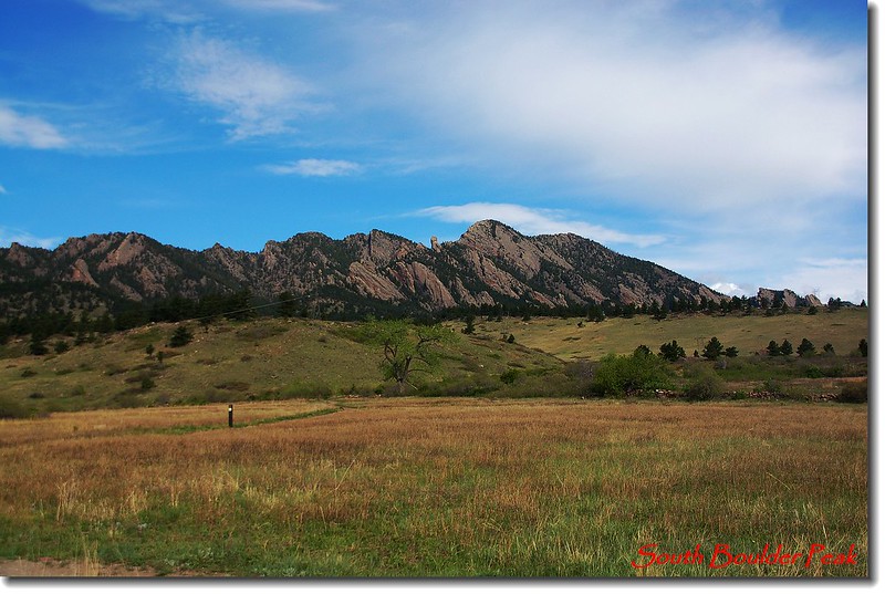
Boulder Range from CO-128
山岳簡介:
South Boulder Peak海拔8,549呎(2,606公尺),是Boulder Range 最高的一座山峰,位在Boulder的西南邊,它和其北邊的Bear Peak(8,461呎)和Green Mountain(8,144呎),南邊的Eldorado Mountain(8,335呎)並排矗立在Boulder西邊,形成一座天然屏障,即所謂的Boulder Group。
South Boulder Peak 雖然是Boulder Range 最高的一座山峰,但有很多角度是無法看到它的,它常被其北邊高度差不多的Bear Peak所擋住。該山多年前曾和Bear Peak“O”形連走一次,今天限於時間就採取由South Mesa Trailhead起登,經由Shadow Canyon trail單攻此山了。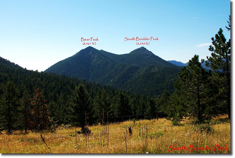
Bear Peak (left) and South Boulder Peak (right) from Green Mountain West ridge
-------------------------------------------------------------------------------------------------
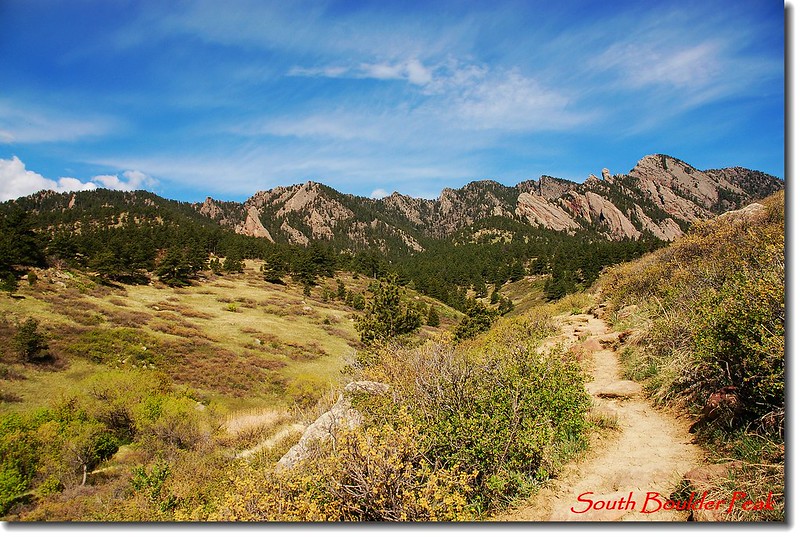
Shadow Canyon trail
登山口在Eldorado Springs 附近的South Mesa Trailhead,從登山口起經由Mesa、 Towhee或 Homestead Trail走約2.1哩的緩坡到達Shadow Canyon,經過一條小溪邊的木屋遺址後隨即在Shadow Canyon陡升1.1哩(爬升1,800呎)抵達Bear Peak和South Boulder Peak間的鞍部,再走約0.3哩的緩坡抵達山頂。
--------------------------------------------------------------------------------
行程紀要:
08:45 由South Mesa Trailhead (5636 ft / 1718 m)出發,先過一小溪流,行不久再過橫跨在South Boulder Creek上之木橋後沿Towhee Trail前進。
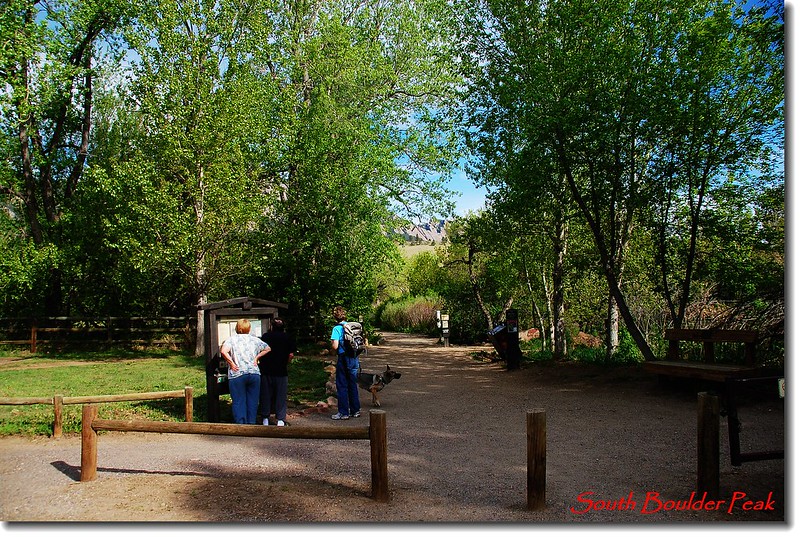
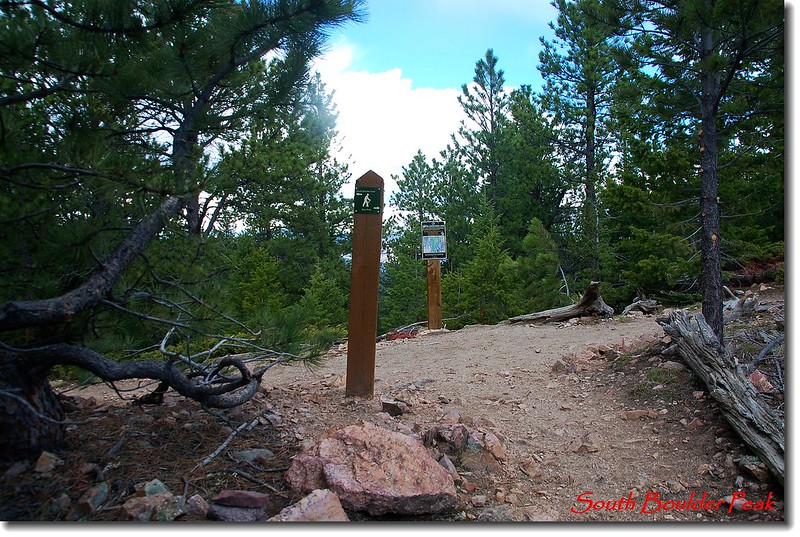
South Mesa Trailhead
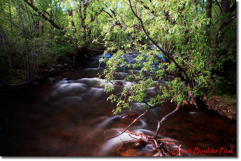
South Boulder Creek
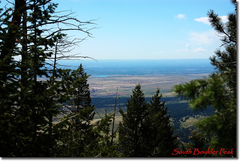
Boulder Range from Trailhead
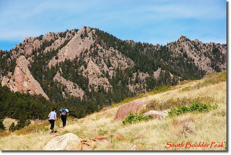
09:02 經過Doudy-Debacker-Dunn House遺址,取左沿Towhee Trail續行,更左邊另有一條登山步道Homestead Trail也可抵達,下山時打算走此步道。
Boulder Range from Towhee trail
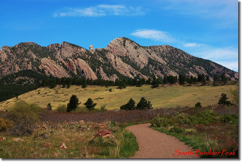
Bear Peak and South Boulder Peak from Towhee trail
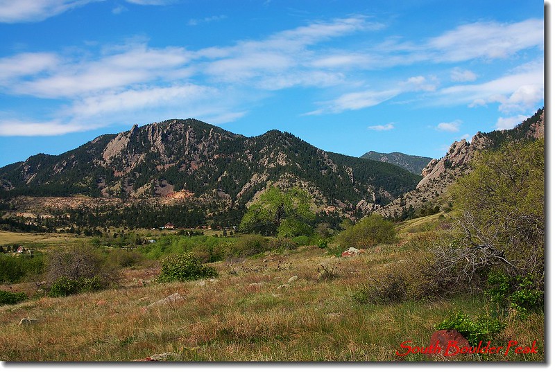
Eldorado Mountain from Towhee trail
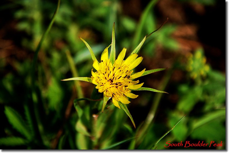
Yellow Salsify
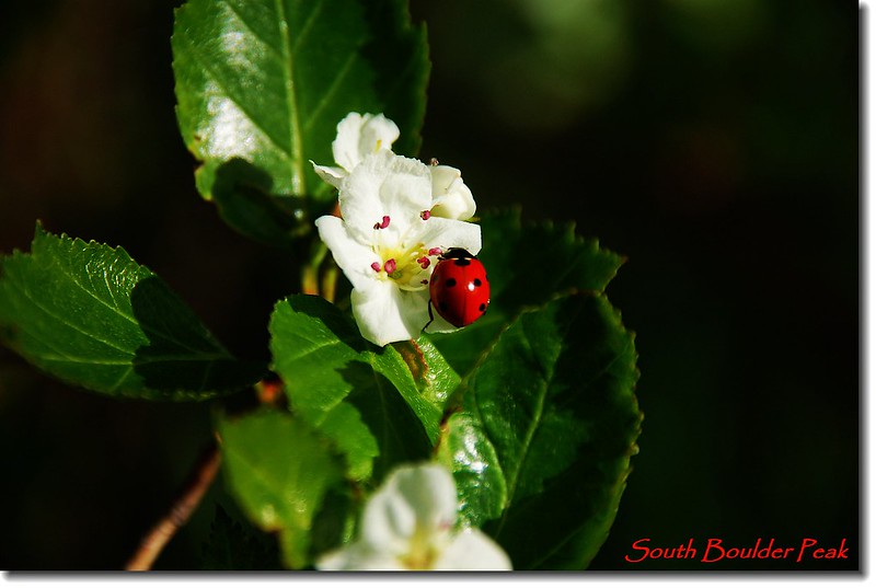
待查
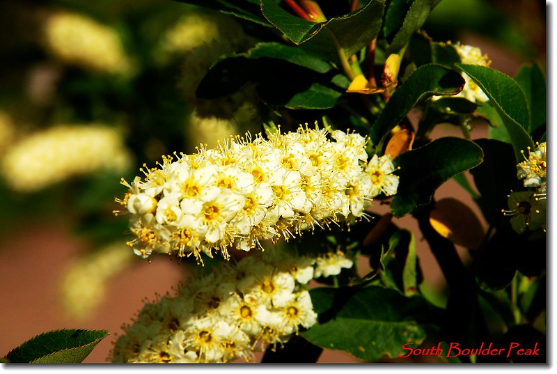
Chokecherry
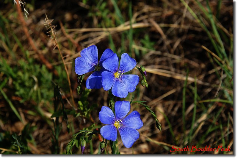
Wild Blue Flax

Boulder Raspberry
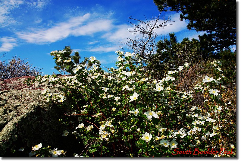
Boulder Raspberry
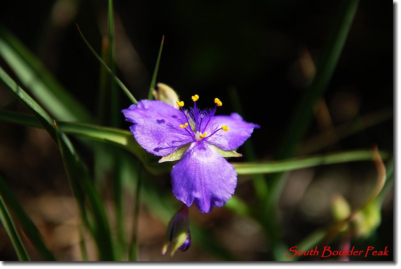
Spiderwort
Towhee trail
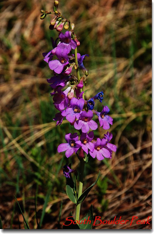
Shell-leaf Penstemon
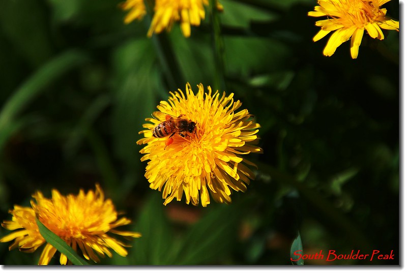
Common Dandelion
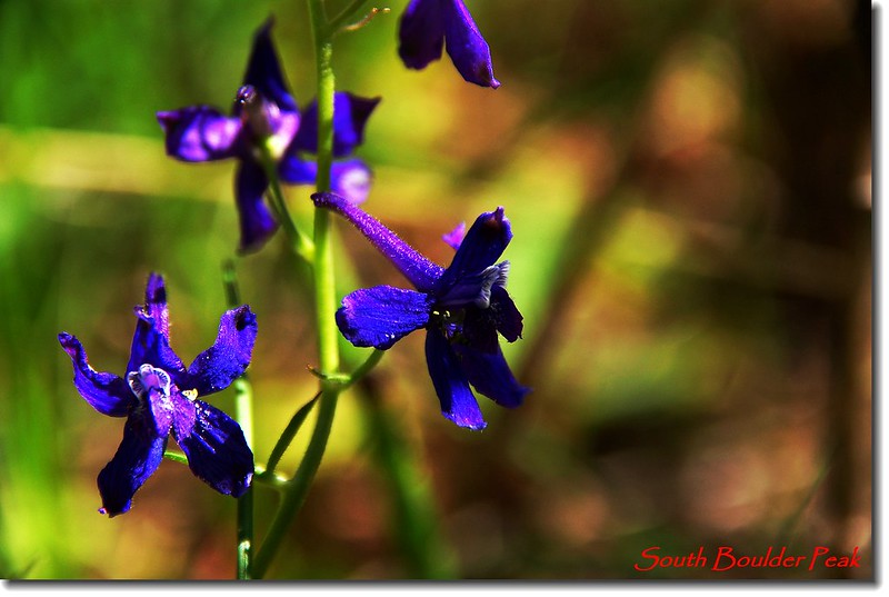
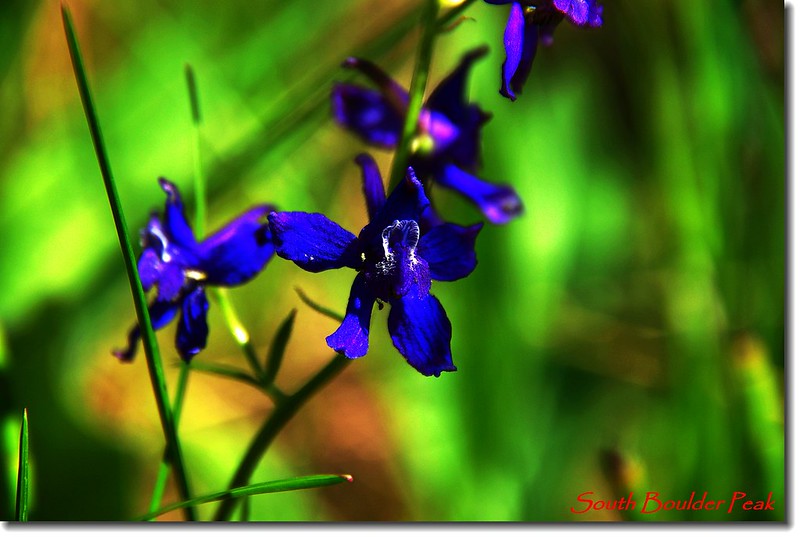
Early Larkspur
09:40左邊Homestead Trail來接(距登山口約1.15哩),續往上爬。
Ruins cabin along the trail
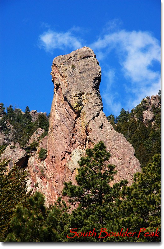
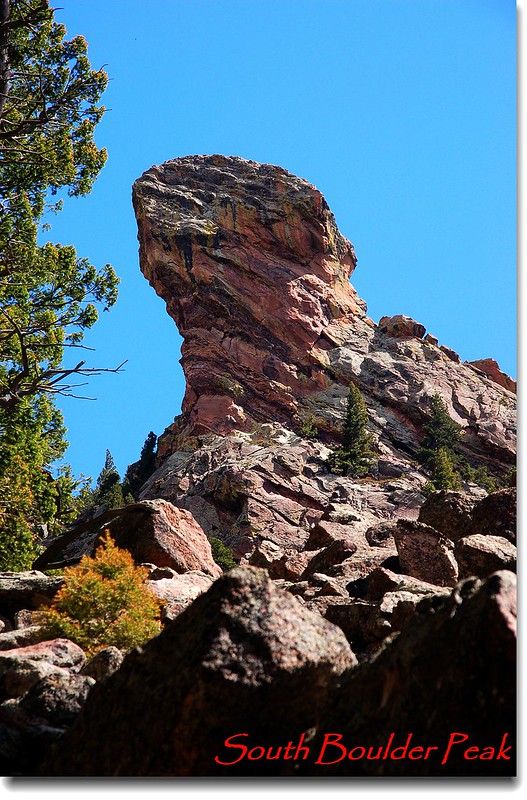
The Matron (Elephant Rock) from Shadow Canyon trail
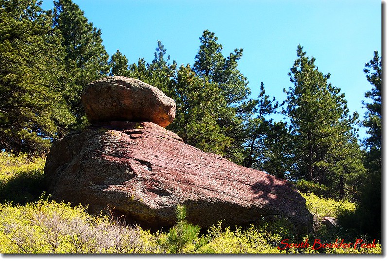
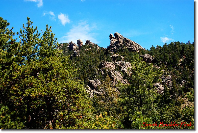
Craggy rock formations along Shadow Canyon
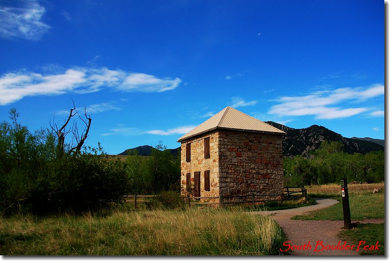
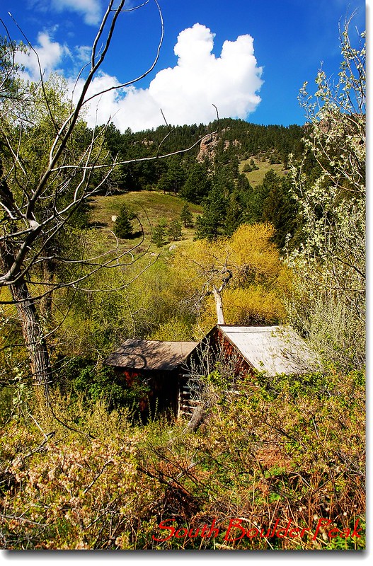
10:07 寬敞道路盡頭遇一小溪澗,路右一棟木屋;
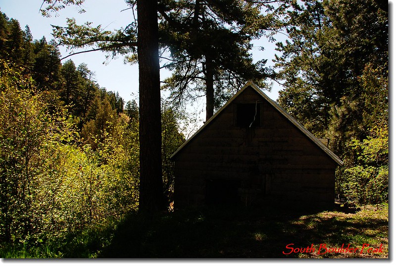
Ruins cabin along the trail
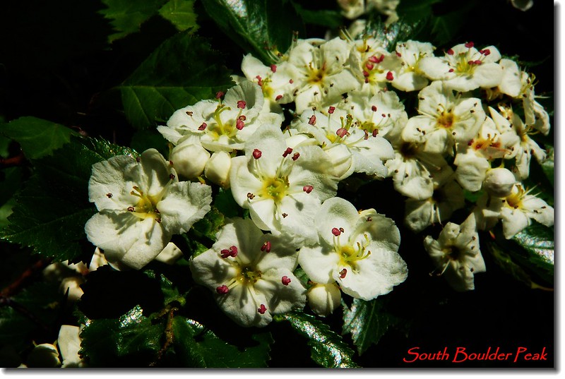
待查
過溪澗有一小徑來接,該小徑可接Mesa Trail;溪澗之後即是陡升之山徑,即是Shadow Canyon,一路在松林樹蔭下陡升。
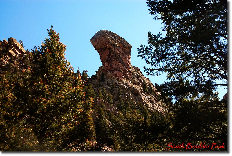
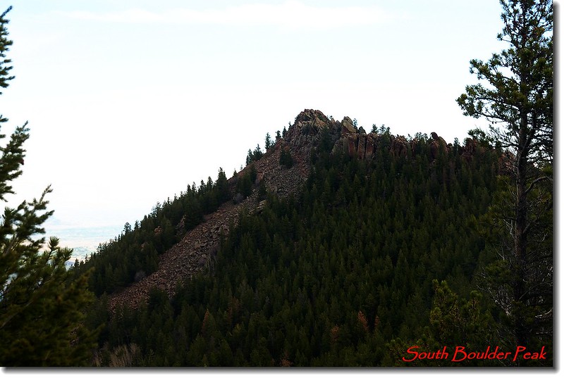
The Devil's Thumb as seen from the Shadow Canyon trail
11:08 抵達Bear Peak和South Boulder Peak間的鞍部(距登山口約3.2 哩,海拔約8,030呎);,右往Bear Peak,左往South Boulder Peak,取左。
The saddle
Looking back the countryside below from the saddle
Bear Peak viewed from South Boulder Peak
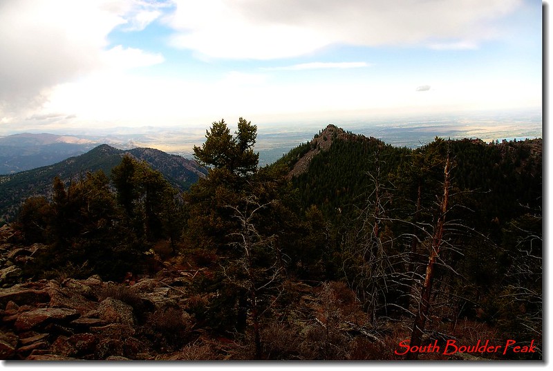
Bear Peak viewed from South Boulder Peak with Boulder in the background
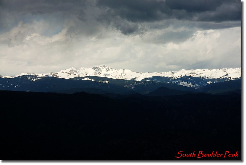
Arapaho Peak from South Boulder Peak's summit

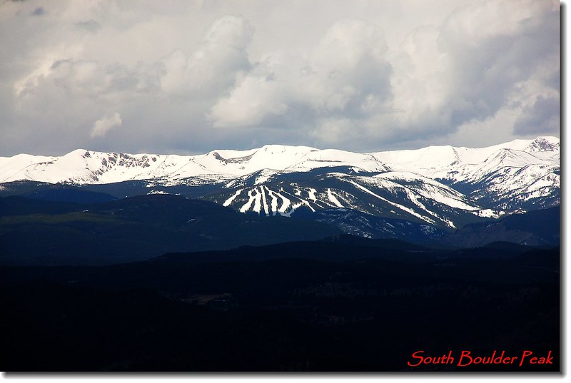
Indian Peaks, RMNP from the summit
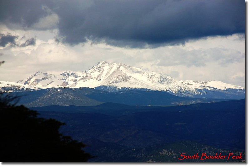
Longs Peak from South Boulder Peak's summit
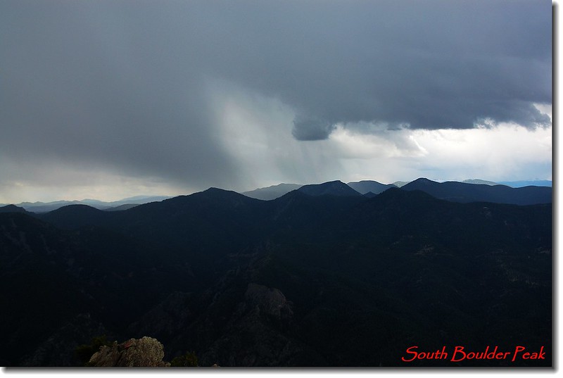
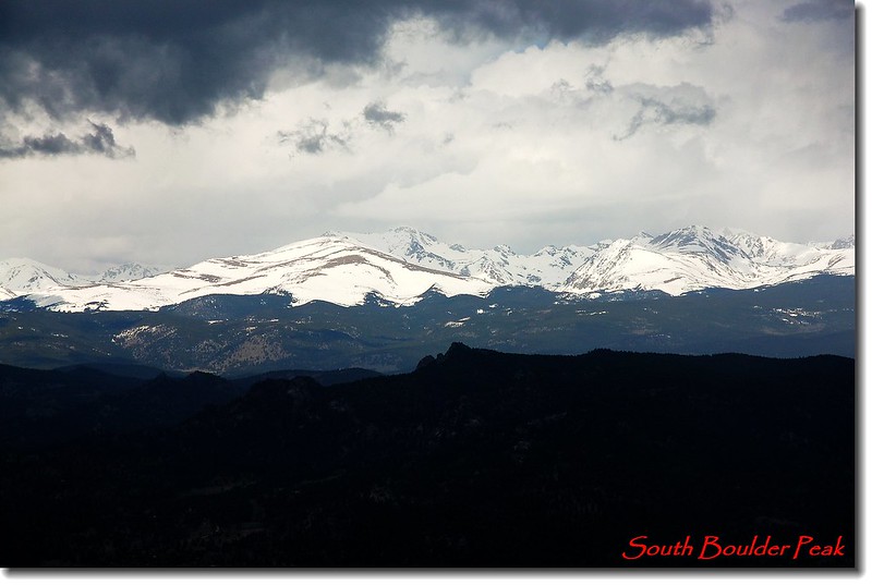
Looking South-West from summit
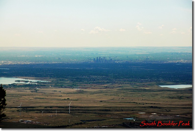
Zoom shot of Denver from the summit
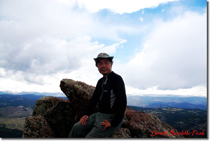
South Boulder Peak's summit
11:30 山雨欲來風滿樓,遠眺西南邊烏雲密布,雷電交加,不宜久留趕緊下山。
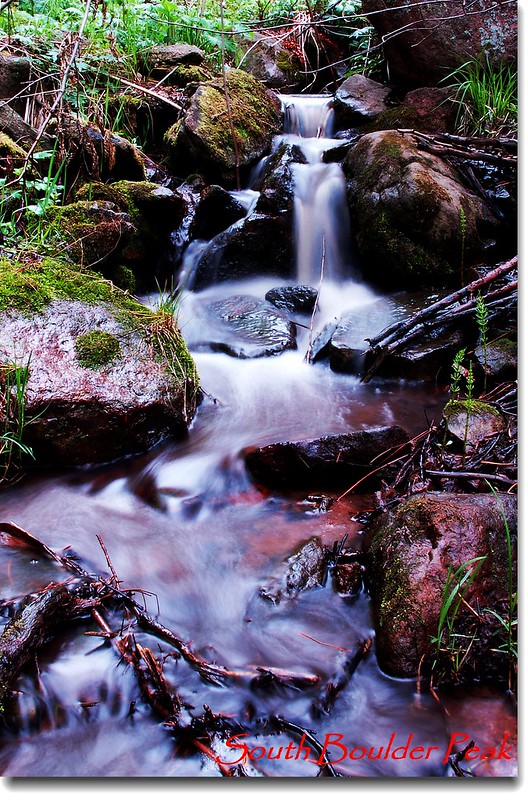
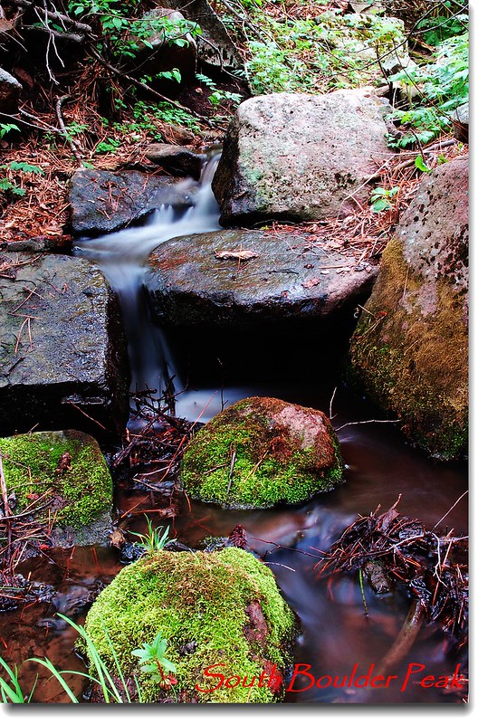
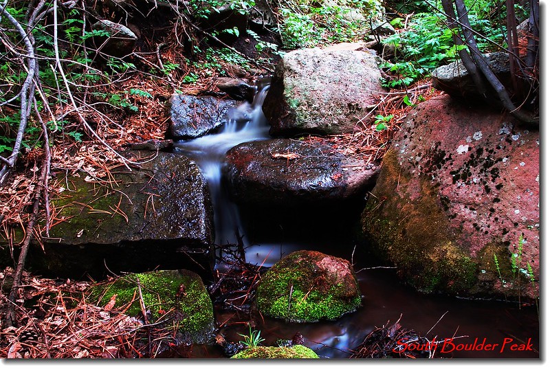
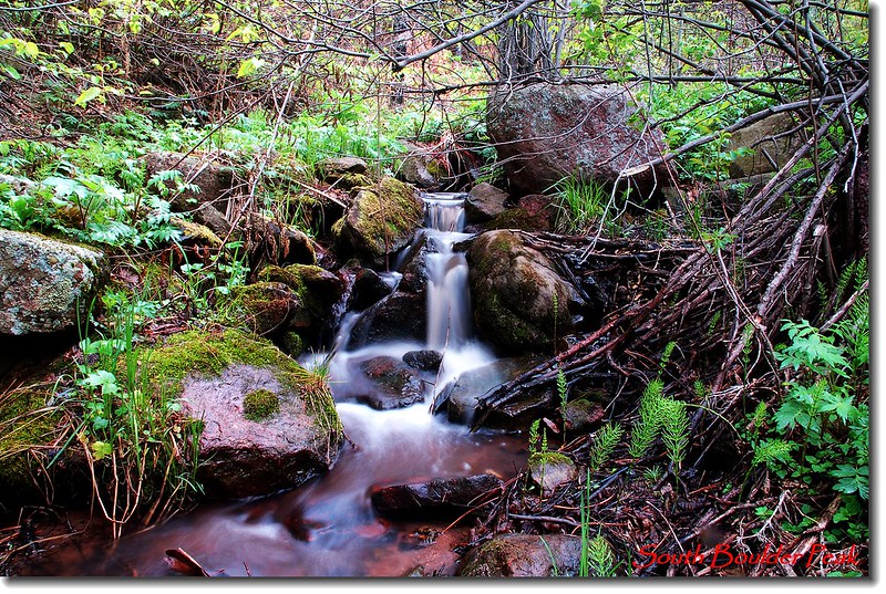
Cascade along the trail
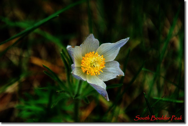
Pasque Flower
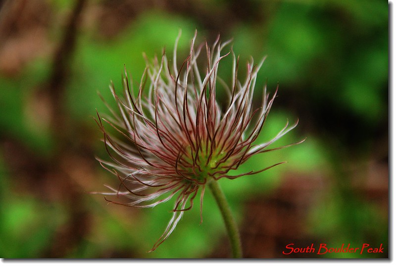
Pasque Flower Seed Heads
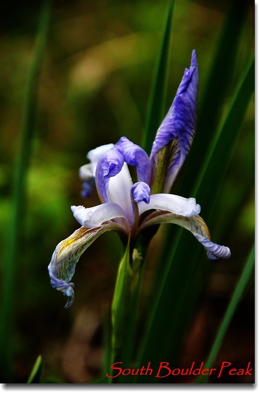
Wild Iris
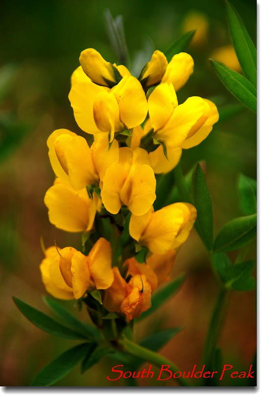
Golden Banner
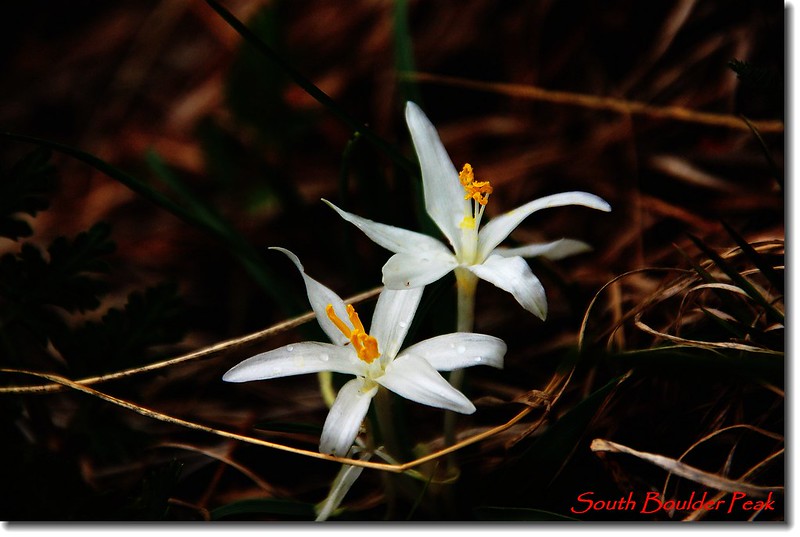
Sand Lily(Star Lily)
沒有留言:
張貼留言