火燒寮山山頂三等三角點
攀登山頭:
火燒寮山:位於宜蘭縣頭城鎮,標高310公尺,立有一顆編號1070號的三等三角點,座標333511 2753706。
頭圍山:位於宜蘭縣頭城鎮,標高252公尺,立有一顆土地調查局圖根點,座標331861 2752161。
---------------------------------------------------------------------------------------------------------
火燒寮山:位於宜蘭縣頭城鎮,標高310公尺,立有一顆編號1070號的三等三角點,座標333511 2753706。
行車資訊:
由頭城外澳伯朗咖啡館對面“接天宮”大牌樓進入(約台2線132.7K處),然後由接天宮右側小路一路上山,行約2.9K抵達城堡一館;
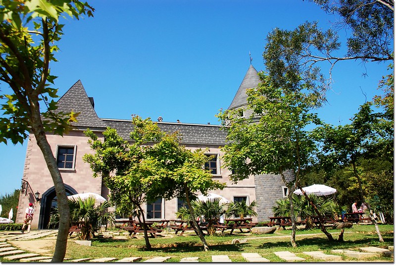
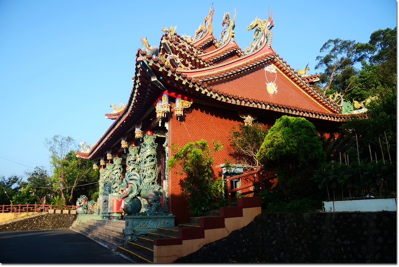
伯朗咖啡城堡一館
城堡一館停車場有火燒寮山的登山步道,我們前往時一館車位客滿,再續行300公尺到城堡二館停車場,城堡二館停車場的西北角也有一條火燒寮山的登山步道。
步程簡述:
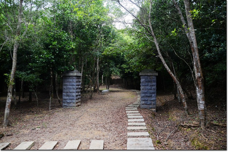
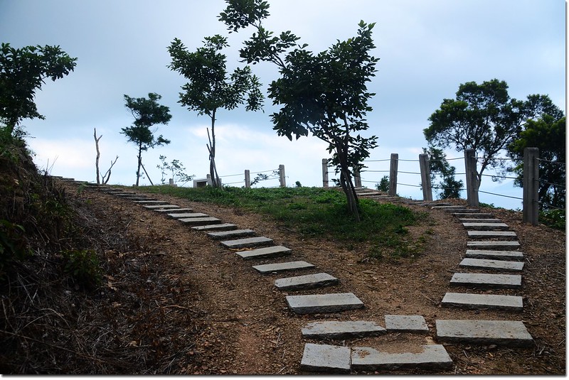
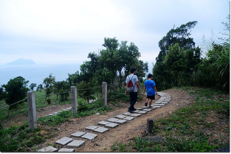
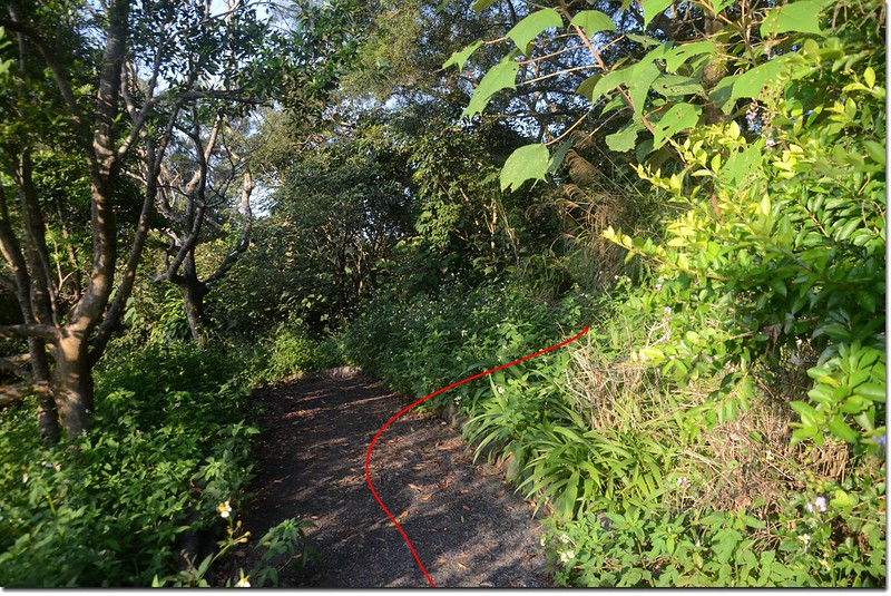
由城堡二館停車場的西北角火燒寮山登山口出發,沿石階步道緩升;
火燒寮山城堡二館登山口
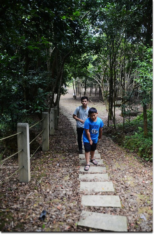
火燒寮山登山步道
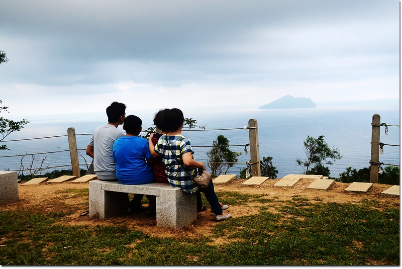
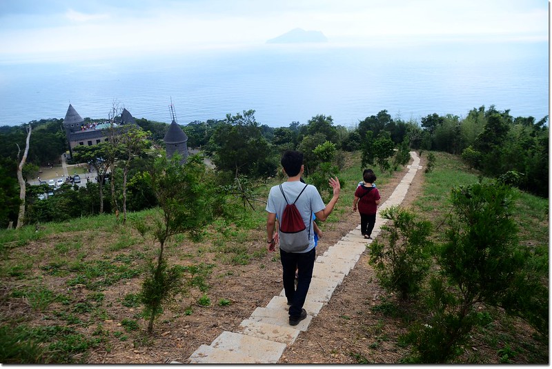
約450公尺後抵達一處石椅休息區展望點,此處有兩座石椅供遊客休息;正前方及右下石階路是城堡一館上來的步道,左上往高壓輸電塔方向是火燒寮山;
火燒寮山登山步道石椅休息區岔路
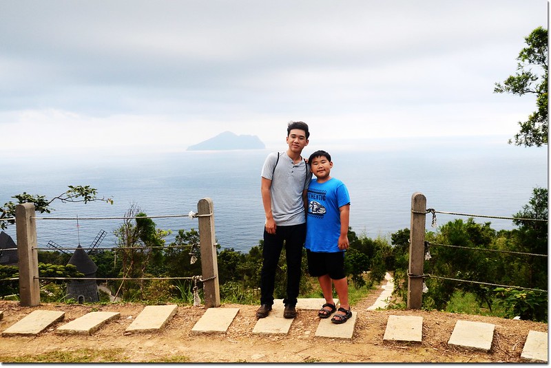
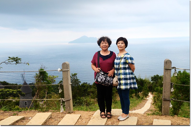
石椅小休,俯瞰城堡一館及遠眺龜山島後取左上往高壓輸電塔方向上山。
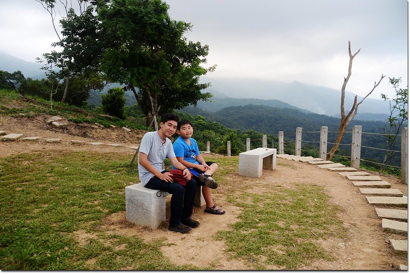
火燒寮山登山步道石椅休息區
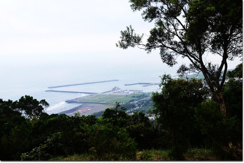
火燒寮山登山步道石椅休息區俯瞰烏石港
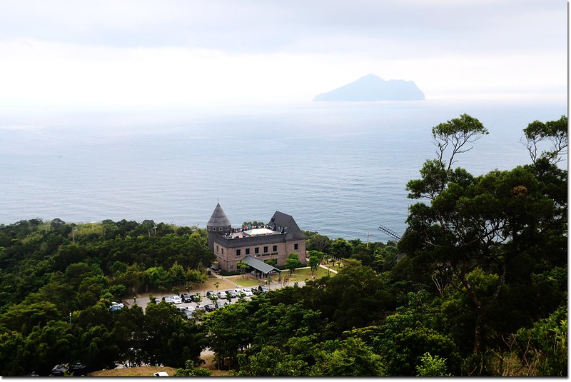
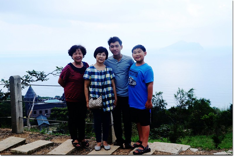
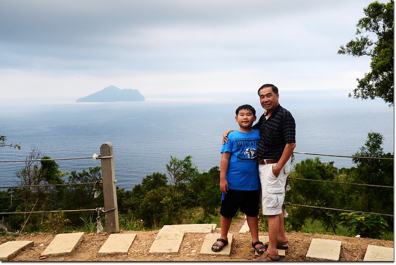
火燒寮山俯瞰伯朗咖啡城堡及遠眺龜山島
再行約230公尺抵達一座高壓輸電塔前岔路;
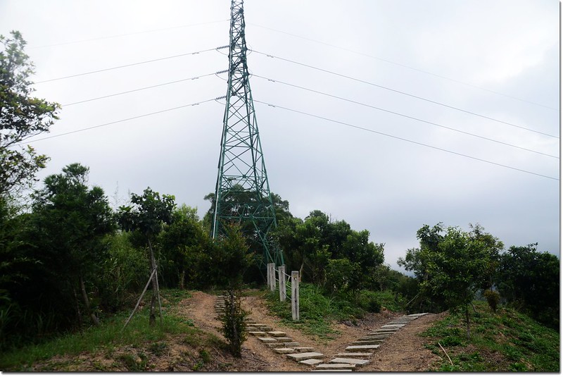
火燒寮山登山步道輸電塔前岔路
取左往高壓輸電塔,然後由輸電塔後方小徑進入竹林,再行約180公尺即抵達火燒寮山基點處;
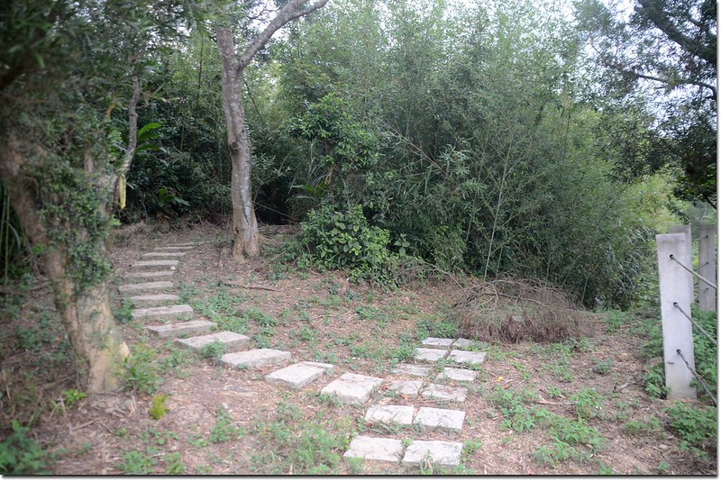
火燒寮山登山步道竹林小徑入口
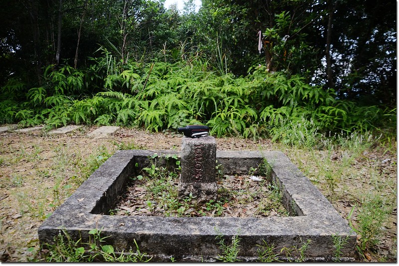
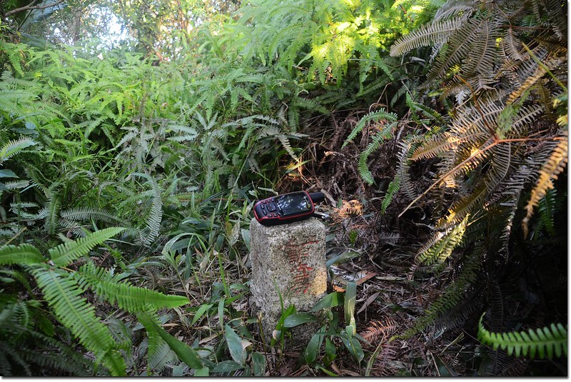
火燒寮山三等三角點(# 1070 Elev. 310 m)
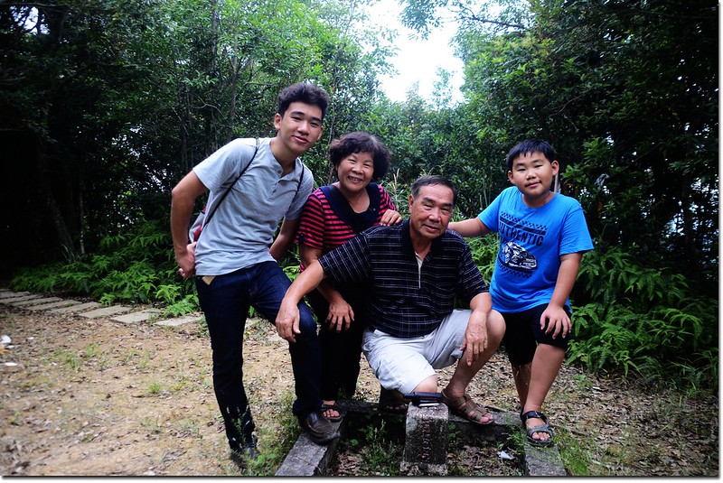
從城堡二館登山口到登頂全長約850公尺,爬山高度約90公尺,全程都是石階步道,輕鬆好走,此次帶家人和小姨子到宜蘭探訪妻舅家人,順便到此山一遊,登山口到登頂慢慢走花了20分鐘。
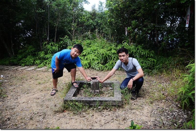
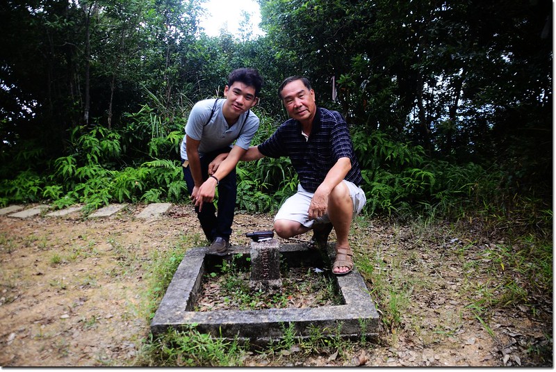
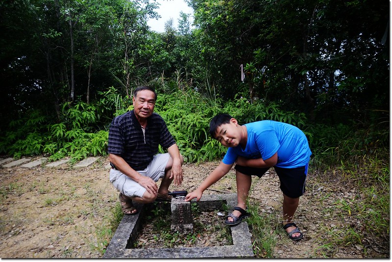
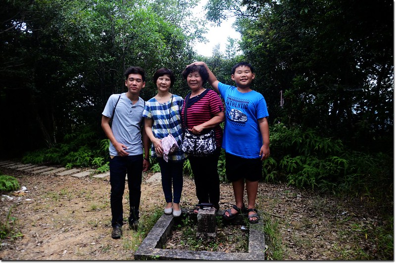
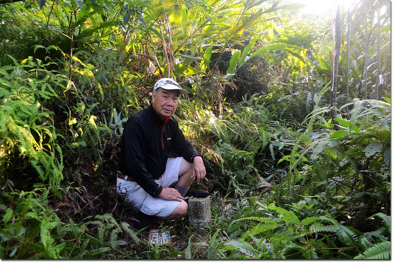
火燒寮山標高310公尺,山頂立有一顆編號1070號的三等三角點,基點處無展望,與家人合照後下山。
火燒寮山登山步道
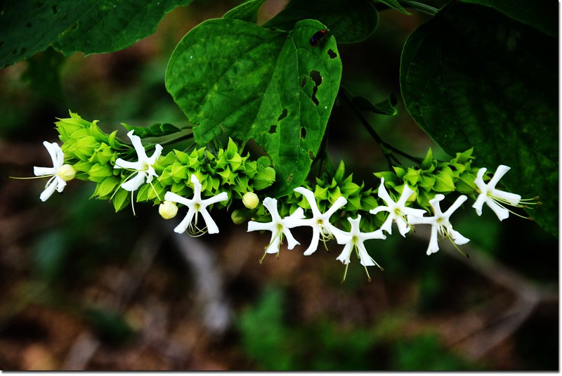
海州常山
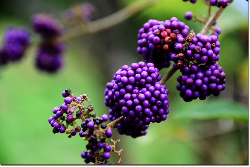
杜虹(果)
---------------------------------------------------------------------------------------------------------
頭圍山:位於宜蘭縣頭城鎮,標高252公尺,立有一顆土地調查局圖根點,座標331861 2752161。
行車資訊:
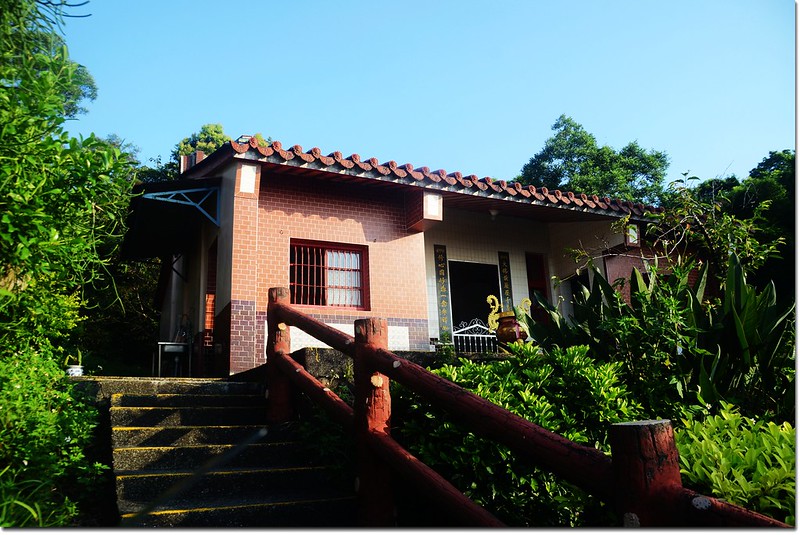
由頭城外澳伯朗咖啡館沿台2線南下,行約2.0公里後續直行轉為開蘭路,行駛約550公尺於岔路口右轉開蘭橋繼續沿著復興路前進,再行約1.0公里後在復興路61巷向右轉,順著小巷道行約500公尺右後急轉武營農路,然後一路上山,約2.3公里遇岔路取左上大修宮,車停大修宮停車場。
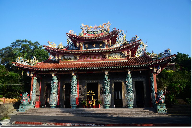
武陵山大修宮
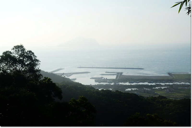
大修宮俯瞰烏石港及遠眺龜山島
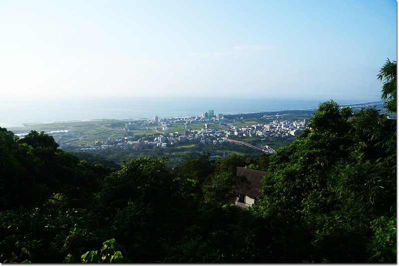
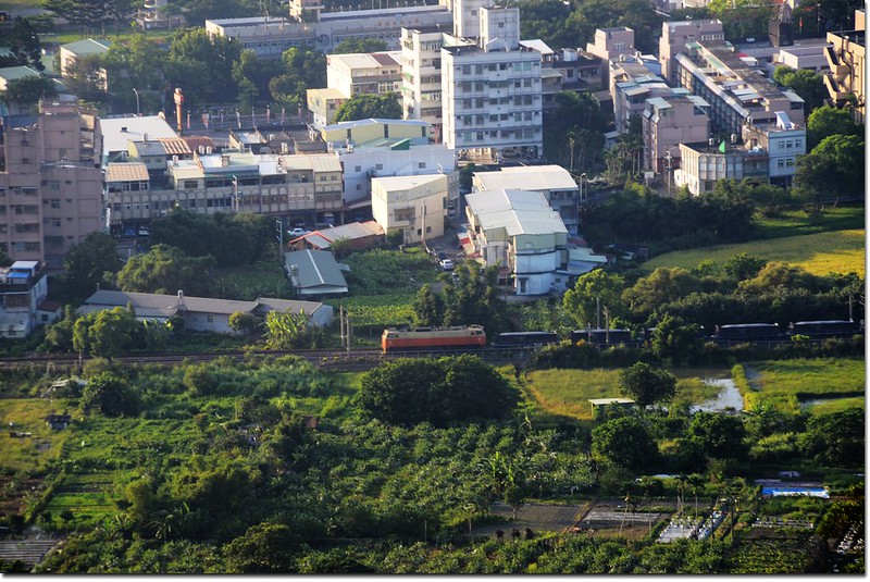
大修宮俯瞰頭城市區
步程簡述:
沿大修宮右側石階拾級而上;
武陵山大修宮
上抵另一小廟--觀音廟後由其左側涼亭後小徑進入10公尺;
觀音廟
武陵山大修宮涼亭
隨即右切入芒萁山徑(331915 2752080 標高214公尺);
頭圍山山徑入口
行約100公尺即抵達位在小徑中的頭圍山土地調查局圖根點,上山全長約200公尺,爬升高度約37公尺,5分鐘登頂,輕鬆的一座小山。
頭圍山土地調查局圖根點
頭圍山標高252公尺,山頂立有一顆土地調查局圖根點,基石四周長滿芒萁,芒萁外為竹林,山頂無展望,拍照後下山。
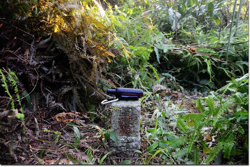
頭圍山土地調查局圖根點(Elev. 252 m)
沒有留言:
張貼留言