South Valley Park
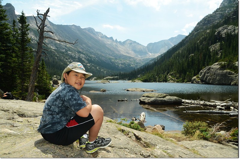
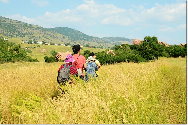
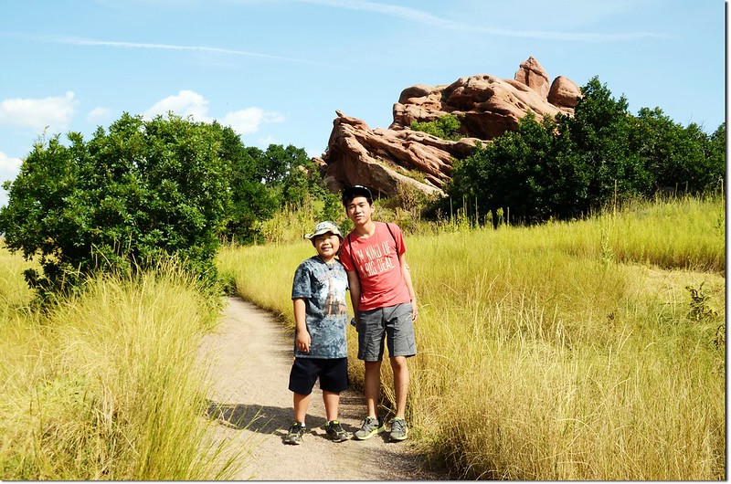
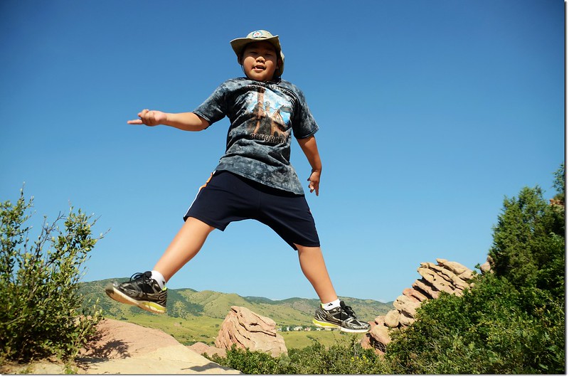
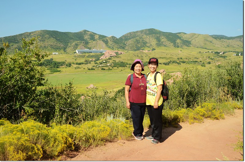
今天帶著女兒及兩個孫子到Littleton的South Valley Park去走走,該公園園區內有蠻多紅色砂岩巨石,當然與鄰近的Red Rocks Park是無法相比擬,但平緩的健行步道倒不失為一處老少咸宜的登山健行處所。
行車資訊:
由女兒住家沿I-25高速公路南下轉I-76再接I-70州際公路西行,抵Golden後再轉CO-470公路南下,行10.4哩後在Ken Caryl Ave出口下交流道,右轉W Ken Caryl Ave西行0.3哩再左轉S Valley Rd,0.9哩後抵達路左的South Valley Park停車場。
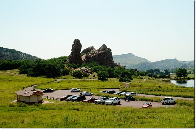
Parking lot at Main Trailhead
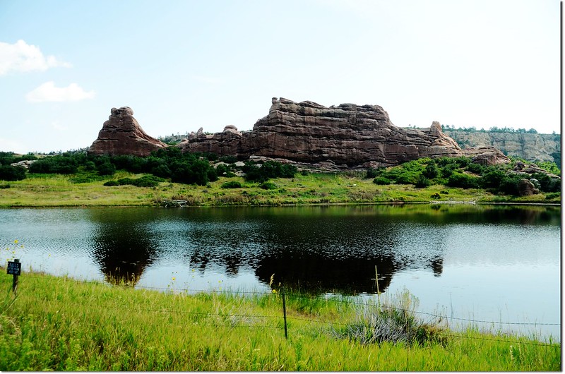
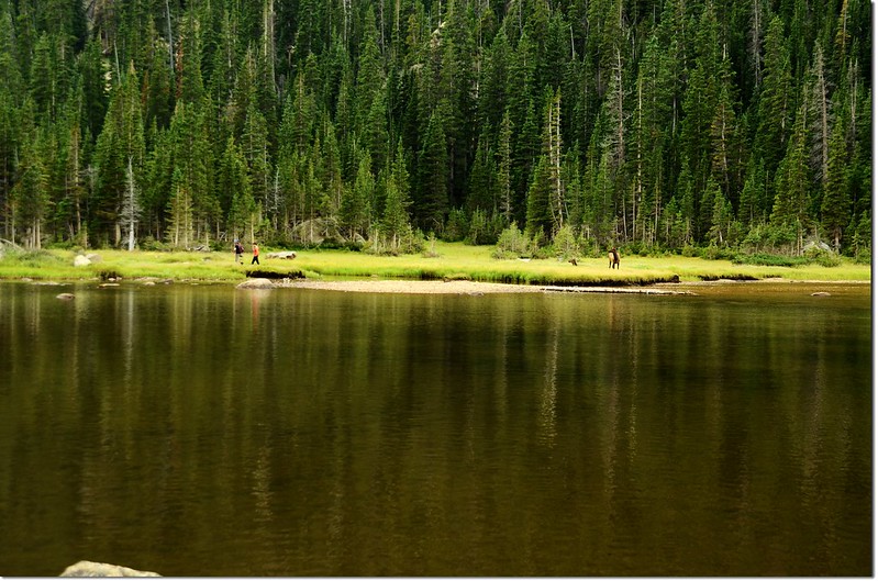
Mann Reservoir, South Valley Park
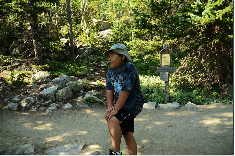
South Valley Park有兩處登山口,此停車場是Main Trailhead,再往南邊續行另有一處South Trailhead,位置在Littleton的12399 Deer Creek Canyon Rd.。
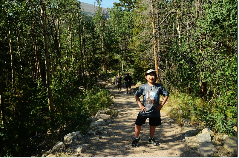
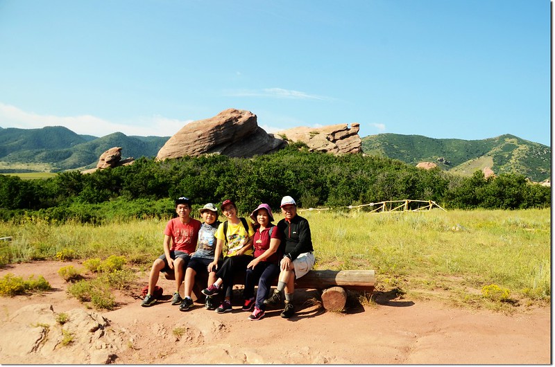
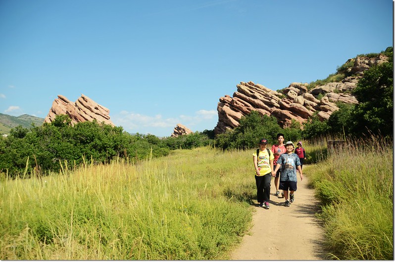
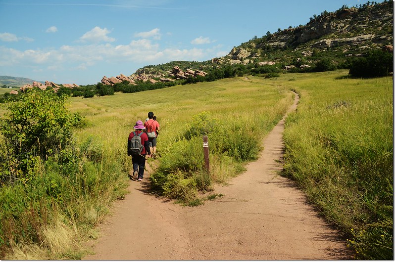
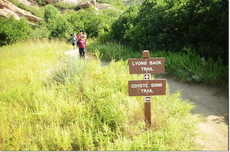
South Valley Park原有登山健行步道約八哩,但目前有部分園區因季節性封閉,所以我們僅走了Coyote Song Trail、Lyon's Back Trail和Swallow Trail,如此一個Loop大約2.5哩(4公里),邊走邊玩花了近兩個小時,這種行程對太座來說,她說剛剛好!小貝貝則臭屁的說,好像沒運動到~~
----------------------------------------------------------------------------------------------------------
今天健行步道資訊:
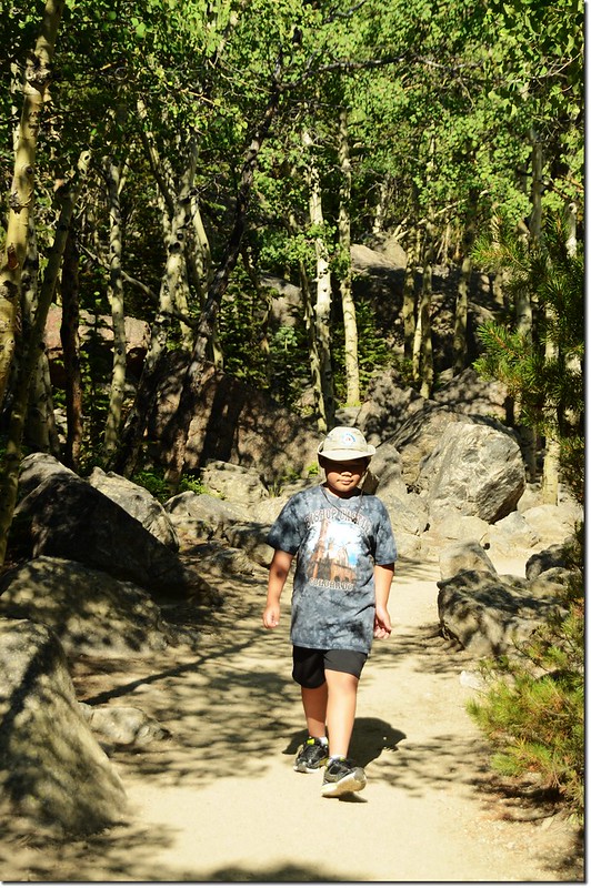
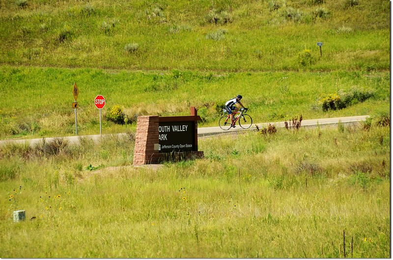
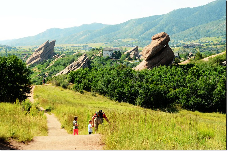
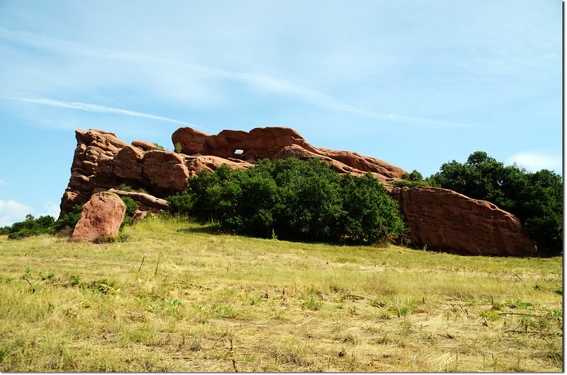
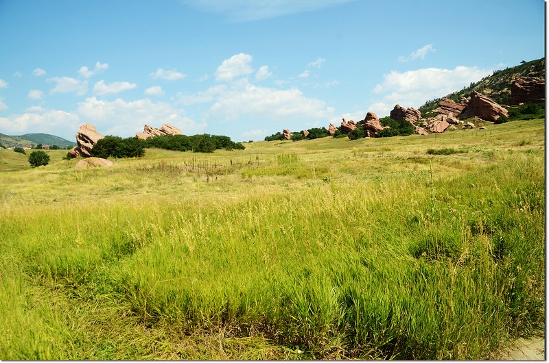
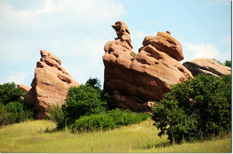
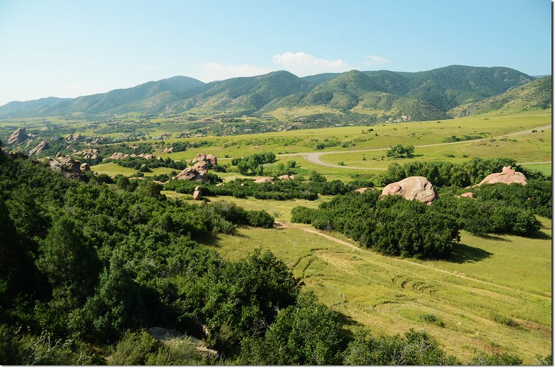
Coyote Song Trail:全長約1.5 哩(2.4公里),爬升高度約306呎(93公尺);奇特的紅砂巨岩沿著步道矗立著,一路俯瞰山谷美景;此步道單車、行人共用,行走時隨時要注意後面是否有單車過來。
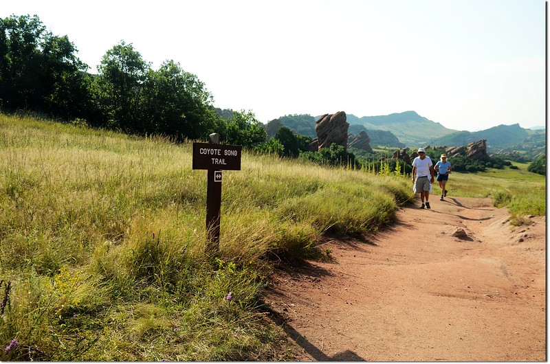
Coyote Song Trail
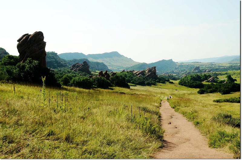
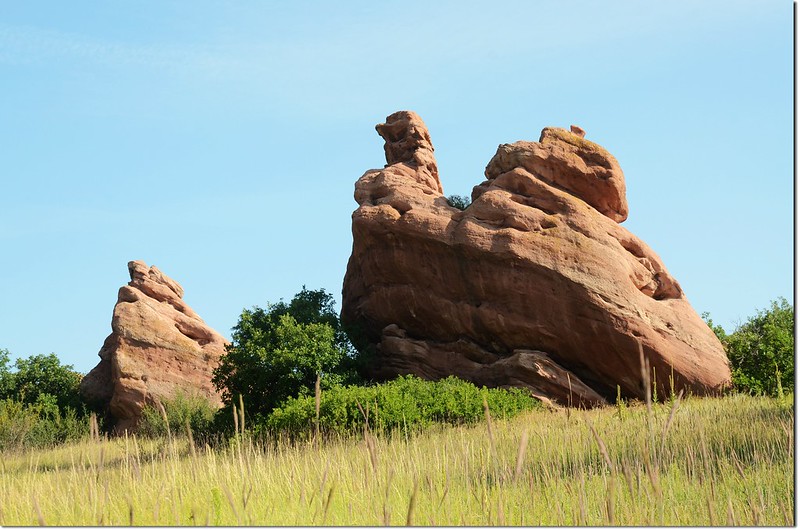
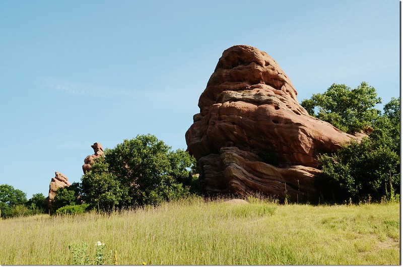
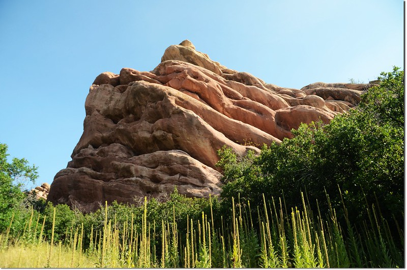
Red rocks along the Coyote Song trail
Coyote Song Trail
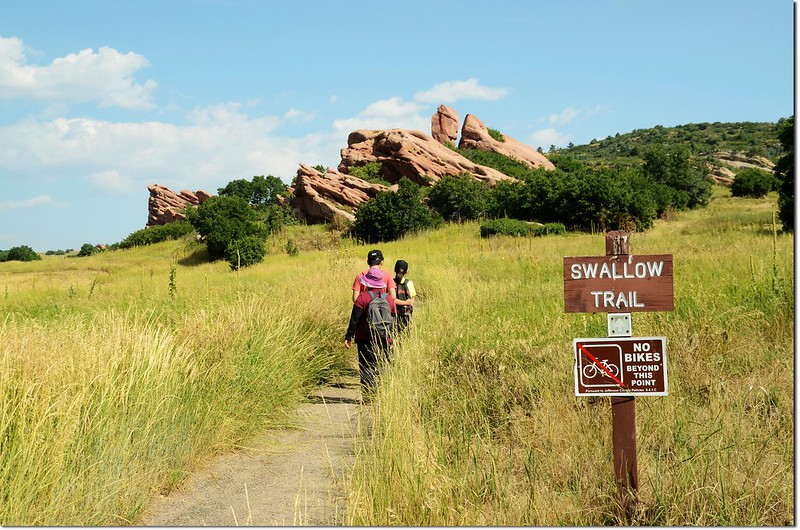
Swallow Trail:全長約1.2哩,爬升高度約190呎(58公尺);此步道是行人專用,不得騎乘腳踏車;走此步道可一路欣賞草原風光。
Swallow Trail
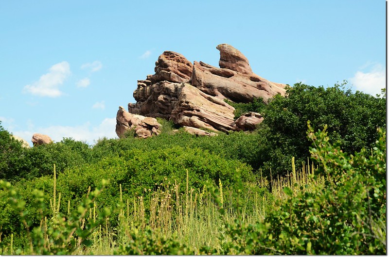
Red rocks along the Swallow Trail
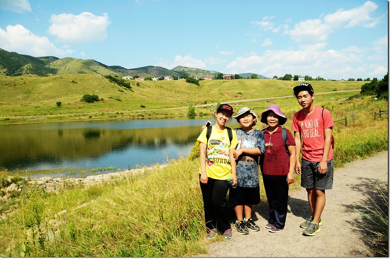
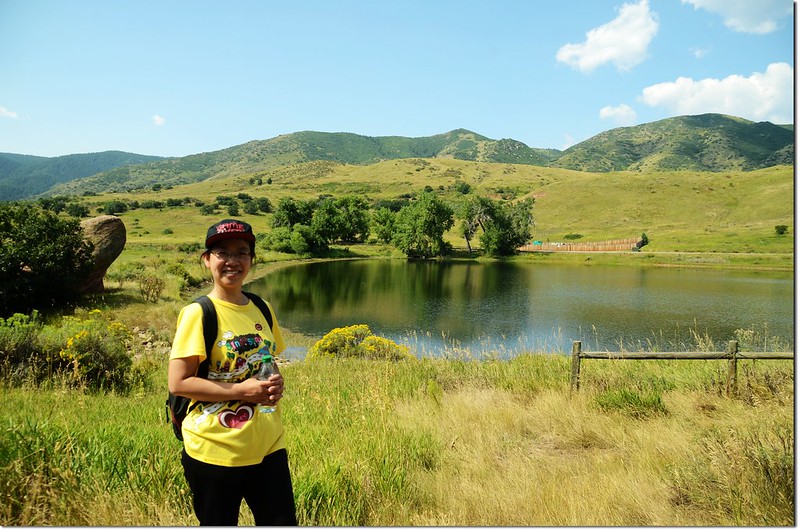
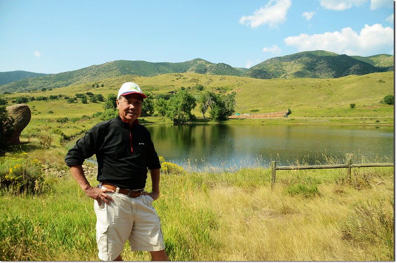
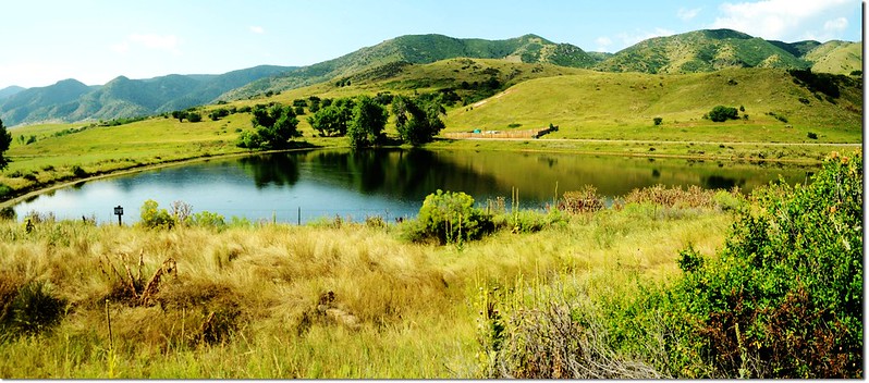
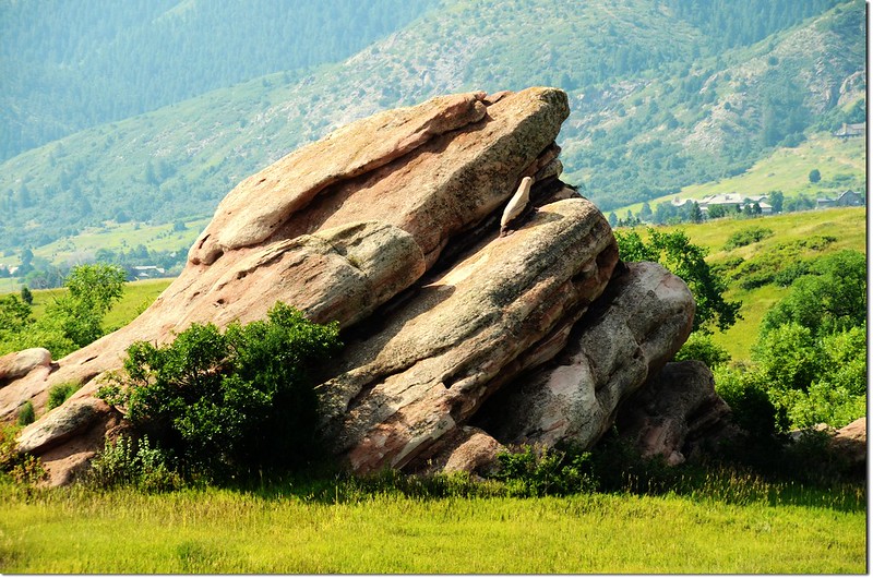
Mann Reservoir
Lyon's Back Trail:此步道是由 Coyote Song Trail中途分岔上去的一條小徑,爬上稜線後接到Ken Caryl Foundation land的Columbine Trail,回頭原路下山約0.4哩(640公尺),爬升高度約100呎(30公尺);爬上稜線高處可俯瞰兩側峽谷風光。
Lyon's Back Trai
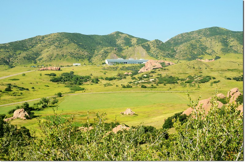
Overlooking the valley from a high point
On the top of the Lyon's Back Trail
Taken from a high point
Overlooking the valley from a high point
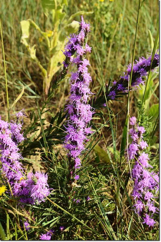
Dense Blazing Star
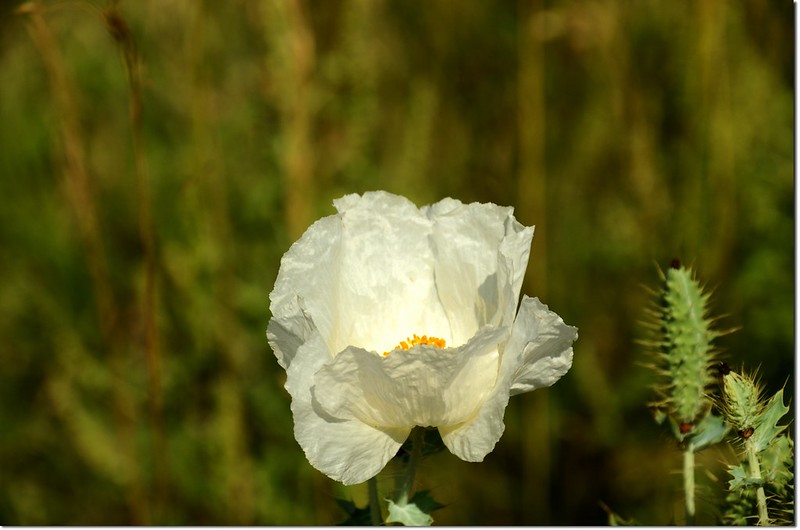
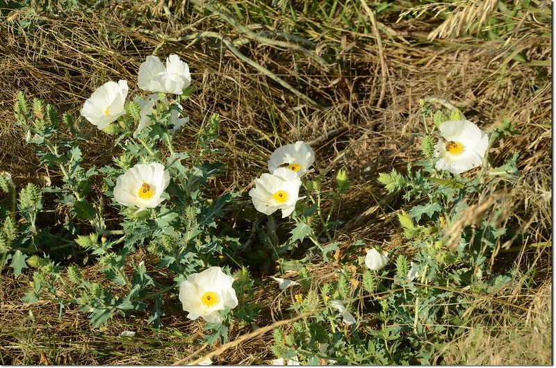
White Poppy flower
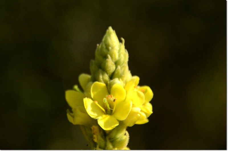
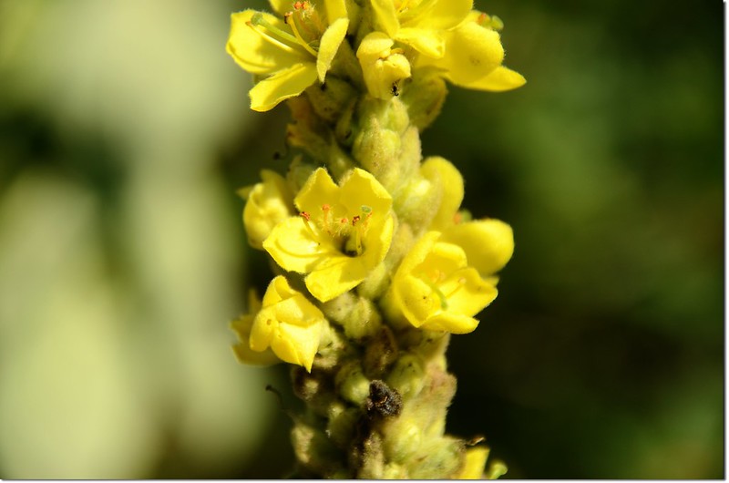
Common Mullein