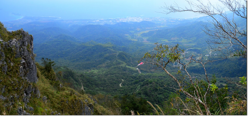
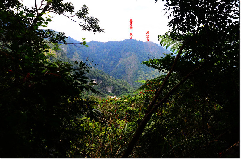
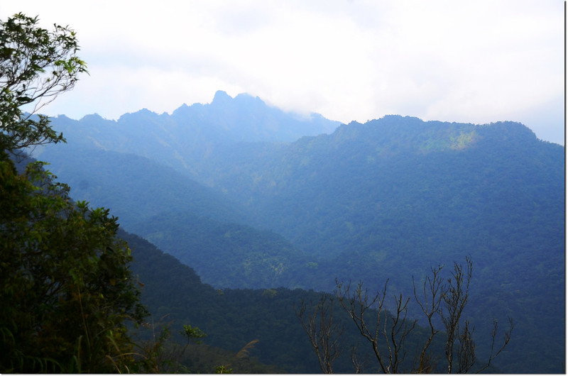
麻荖漏山東峰礦區道路展望台俯瞰三仙台及成功市區
攀登山頭:
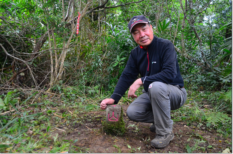
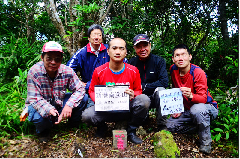
新港南溪山:標高764公尺,山頂立有一顆山字森林三角點,座標283972 2557434;台東縣成功鎮。
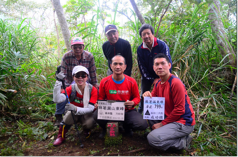
麻荖漏山東峰:標高799公尺,山頂立有一顆山字森林三角點,座標284678 2559618;台東縣成功鎮。
南成功:標高46公尺,三等三角點,編號730號,座標287138 2555802;位於台東縣成功鎮。
同行山友:小李、小蔡、小璇、王哥、孔孟子、劉振忠
--------------------------------------------------------------------------------------------------------
新港南溪山:標高764公尺,山頂立有一顆山字森林三角點,座標283972 2557434;台東縣成功鎮。
能登此山不得不佩服小李兄的尋基石功力及小蔡、孔孟子的劈路力道,這座郊山除了7777張醫師的一篇記錄外,再也找不到其他登山記載,山雖不高,卻多的是困難地形,走來還真步步驚心呢!
行車資訊:
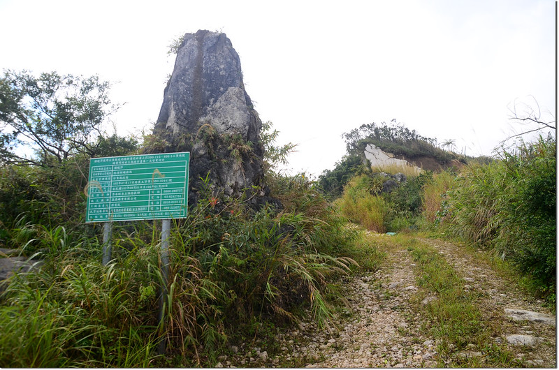
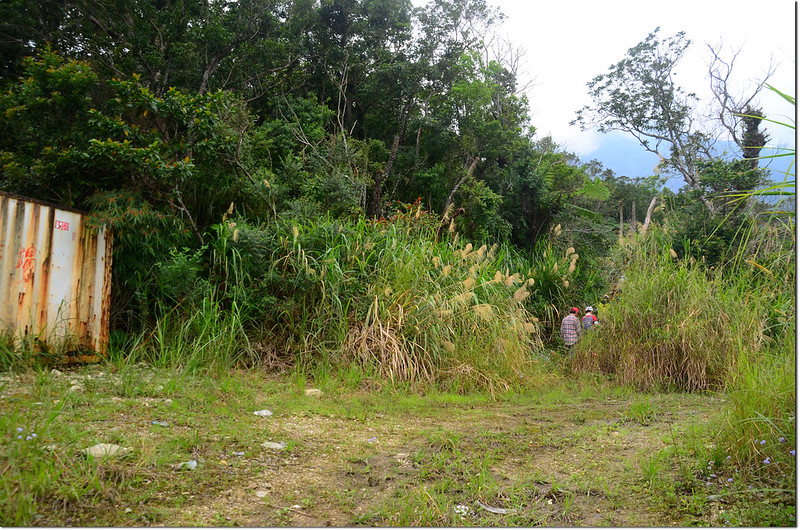
由台東成功鎮台11線與上海街(東18鄉道)交叉口沿上海街(東18鄉道)西北行,160公尺後左轉三民路(東18鄉道),東18鄉道行約1.0公里後遇岔路取右行駛三民產業道路(東16鄉道),再行2.1公里後遇岔路取右過新港溪北行,1.3公里後再遇岔路,左往新港南溪山,右往麻荖漏山東峰,岔路口有“聖武宮”及“三花主母等”兩個大石碑指示標示;先取左過三民二號橋往新港南溪山,山路行約950公尺遇岔路取右上山,山路越來越陡峭濕滑;550公尺再遇岔路取左行,行約140公尺過路右一工寮不久遇路面一處小凹地車子打滑上不去,找個地方停車(海拔396公尺,座標284657 2557879)。
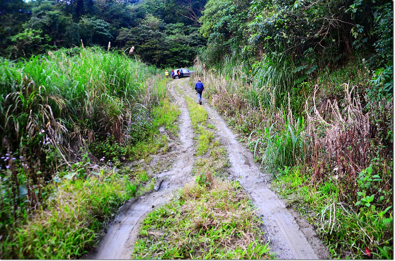
新港南溪山產道
步程簡述:
停車處沿產道迂迴上行;
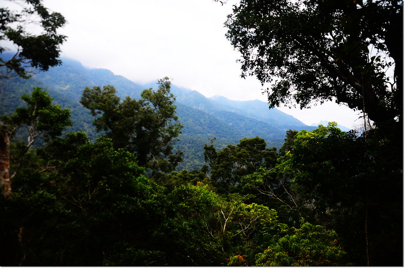
新港南溪山產道俯瞰三仙台
行約640公尺抵路右一廢產道口,此為小李兄資料的登山口,若不是GPS定位顯示,根本看不出他原來是一條廢產道,菅芒草以淹沒整個產道,座標284395 2557846,海拔約494公尺,四傳車應可開到此處。
新港南溪山廢產道登山口
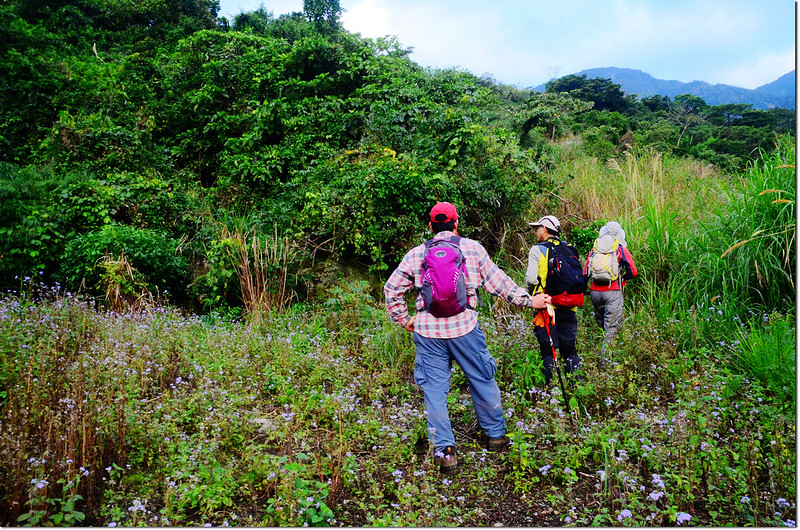
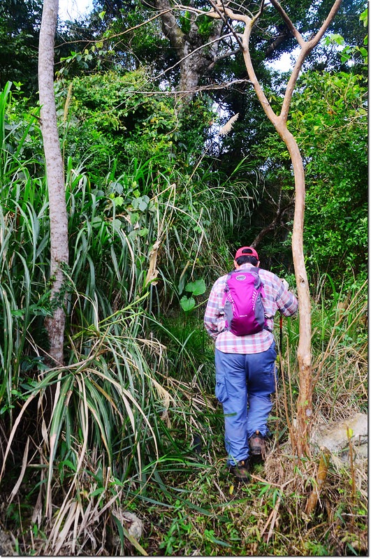
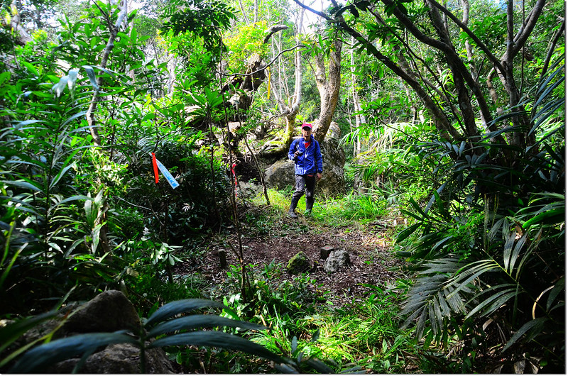
鑽入菅芒草叢後小蔡在前砍路,我們緊隨在後;

新港南溪山廢產道
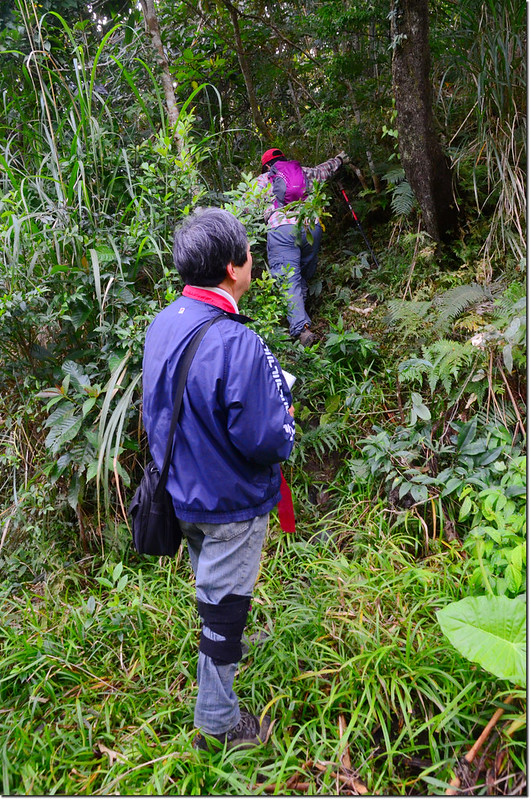
行約330公尺後廢產道終止左上切,上切處有兩棵樹形成一個迎賓門(284178 2558010,海拔541公尺);
新港南溪山廢產道上切口
山徑有取水用黑水管,姑且稱之為水管路吧!沿著水管路邊砍路上行約100公尺接到一條明顯小徑,取右沿小徑西南行,約20公尺後再左上切;
新港南溪山登山路徑
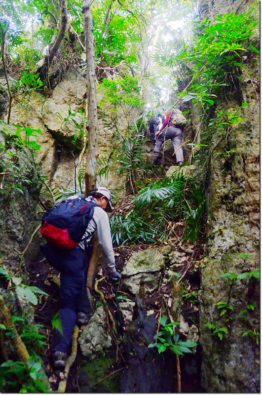
爬升約90公尺後上到新港南溪山主稜稜線,然後沿稜線朝西南爬升,約150公尺後上抵大鵬醫師記錄的怪石溪谷區(284106 2557788 海拔622公尺),我稱之為巨岩溝壑區,靠著小李兄老練的判斷力我們由東壁下切到溝壑底部,再由西壁的唯一一條裂縫攀登上西壁,然後繼續朝南上登;
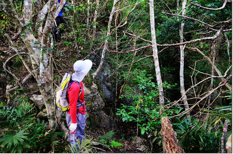
新港南溪山巨岩溝壑區
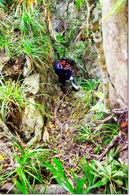
攀登巨岩溝壑區
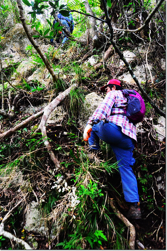
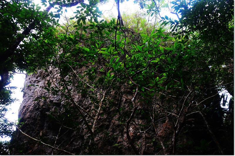
此後的地形轉為珊瑚礁咕咾石地形,怪石溪谷不斷,地形相當複雜且陡峭。
新港南溪山珊瑚礁咕咾石地形
行約200公尺後有兩處大落差岩壁地形較為危險,須加小心(284029 2557715 海拔656公尺);
新港南溪山大落差岩壁地形
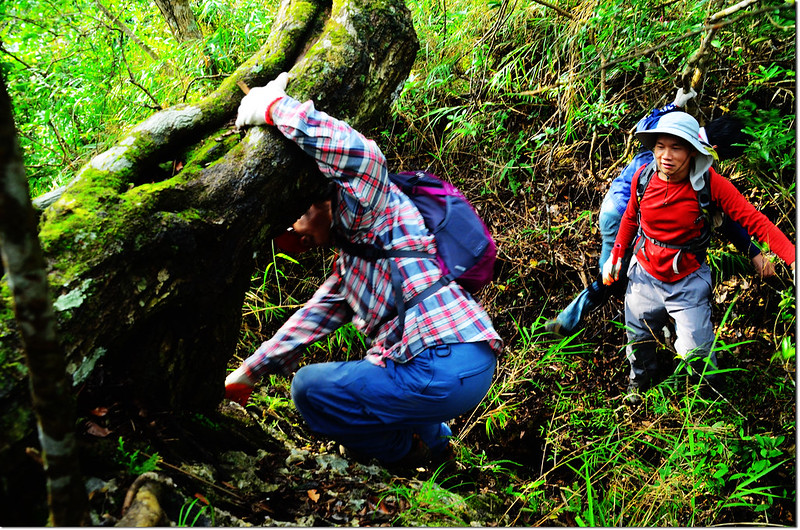
再行約200公尺抵達一座大巨石下方;
大巨石
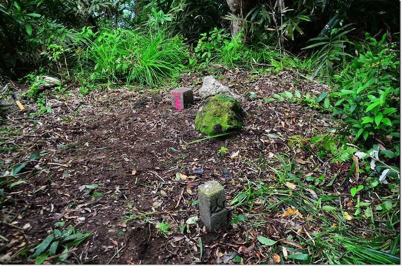
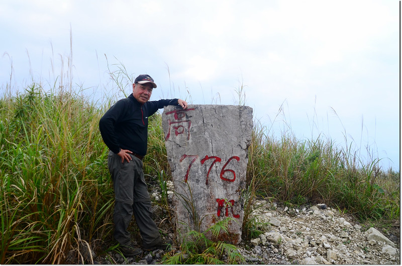
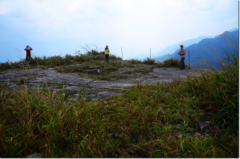
由大巨石右方繞過後再上登約280公尺及抵達新港南溪山基點處(283972 2557434 海拔752公尺),基點處是一處小平坦區;
新港南溪山基點峰地形
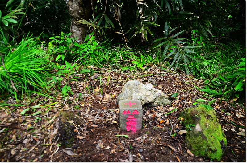
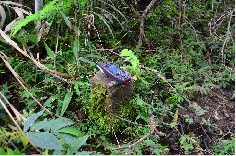
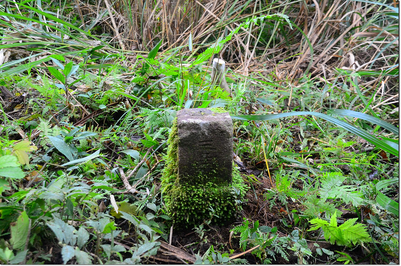
在森林三角點的東邊兩公尺處有一根迷你型的山字水泥柱,較為少見。
新港南溪山山字森林三角點(Elev. 764 m)
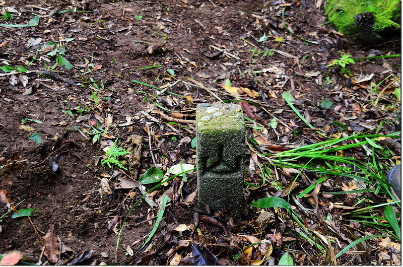
新港南溪山山字水泥柱
台東新港南溪山森林三角點及山字水泥柱
台東新港南溪山森林三角點
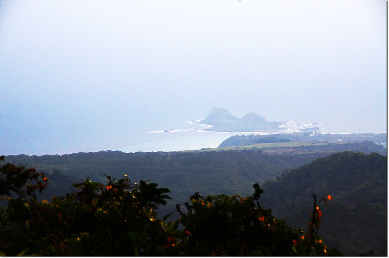
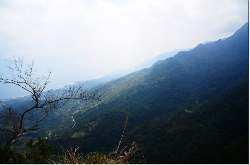
新港南溪山山頂展望
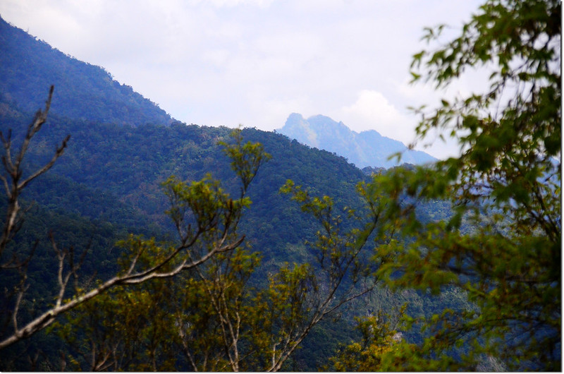
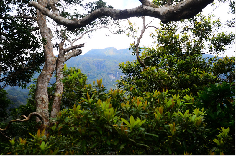
新港南溪山山頂展望(成廣澳山)
新港南溪山山頂展望
此山上山約2小時40分,下山約1小時30分。
--------------------------------------------------------------------------------------------------------
麻荖漏山東峰:標高799公尺,山頂立有一顆山字森林三角點,座標284678 2559618;台東縣成功鎮。
行車資訊:
由新港南溪山回到新港南溪山與麻荖漏山東峰岔路的三民二號橋頭左轉,行約500公尺岔路取右往聖武宮上山,280公尺後遇岔路左往麻荖漏步道不取,取右往聖武宮,250公尺岔路取左直行,230公尺後於高台產業道路/東15鄉道口向左轉,20公尺後靠左行駛,進入高台產業道路(東15鄉道),200公尺後岔路取左,再行450公尺岔路取右,750公尺後岔路再取右,行約220公尺後坡陡碎石打滑停車(285255 2559697 海拔601公尺)。
步程簡述:
停車處沿礦區道路續上,遇岔路左轉,行約500公尺產道左側有一棟建物,應是礦場房舍;
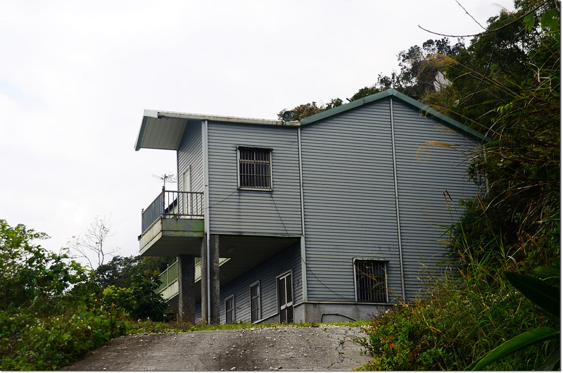
礦場房舍
麻荖漏山東峰礦區道路展望 (成廣澳山)
再行100公尺看到一座大巨石及一大片切割很整齊的白色大理石牆;
麻荖漏山東峰礦區道路巨石
麻荖漏山東峰礦區道路俯瞰三仙台
過了大理石牆再行約110公尺路右有一顆內政部國土測繪中心編號GD73的四等控制點銅標;
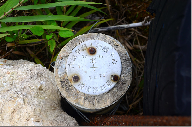
內政部國土測繪中心四等控制點銅標(# GD73)
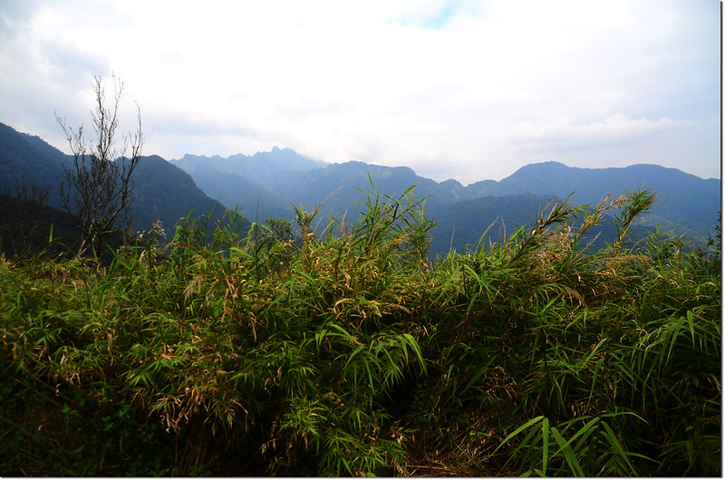
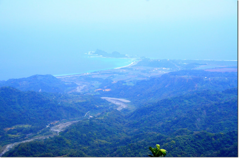
過了銅標再行160公尺路左一乾涸大水池,可能是採礦時所用的吧!再行140公尺來到一處大平台,是一處絕佳展望點(284825 2559607 海拔778公尺),俯瞰三仙台、成功市區及整個東海岸。
麻荖漏山東峰礦區道路
展望點
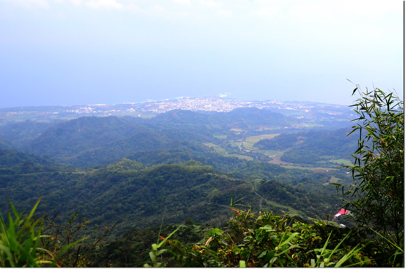
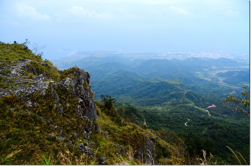
麻荖漏山東峰礦區道路展望點俯瞰成功及東海岸
過了平台展望點再行90公尺產道終止,路旁貨櫃噴有黃金海岸採礦場字樣;
麻荖漏山東峰登山口
由正前方廢產道直行90公尺後左上切山頭,往南繞行100公尺抵達基點處,基點位在一平坦處,長滿青苔,蠻喜歡這種不受干擾、歲月留下的痕跡。
麻荖漏山東峰山字森林三角點(Elev. 799 m)
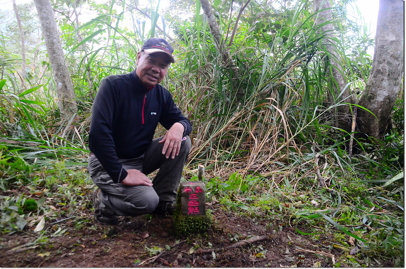
台東麻荖漏山東峰森林三角點
此山上山共走了48分鐘,下山走了28分鐘,礦區產道一路俯瞰東海岸,視線良好時走此產道真是一大享受,推薦值得一遊。
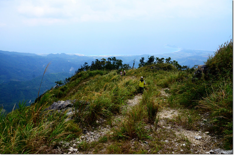
麻荖漏山東峰礦區道路
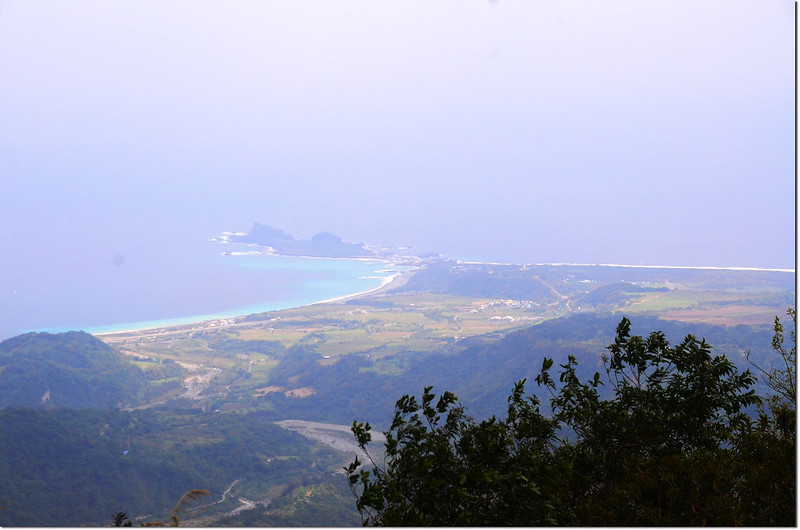
麻荖漏山東峰礦區道路俯瞰三仙台
--------------------------------------------------------------------------------------------------------
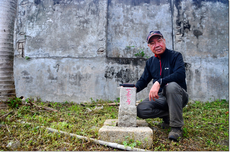
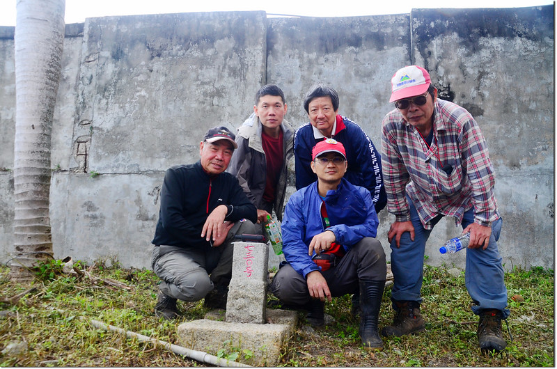
南成功:標高46公尺,三等三角點,編號730號,座標287138 2555802;位於台東縣成功鎮。
此基點原點位在(287272 2555429),本遭遺棄,後經張大鵬醫師搶救移置至成功鎮三民國小校園內託管。
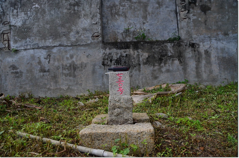
南成功三等三角點(# 730 Elev. 46 m)
台東南成功三等三角點
沒有留言:
張貼留言