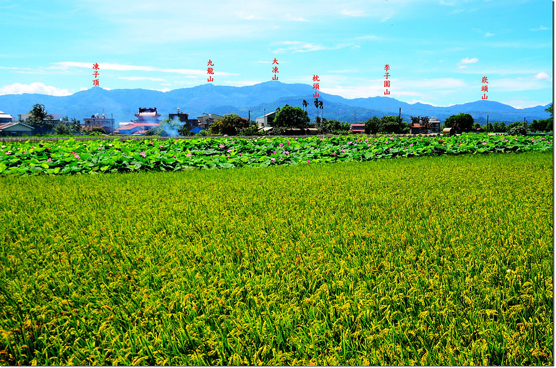
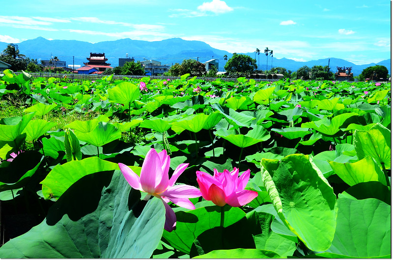
白河林初埤東眺
造訪基點:
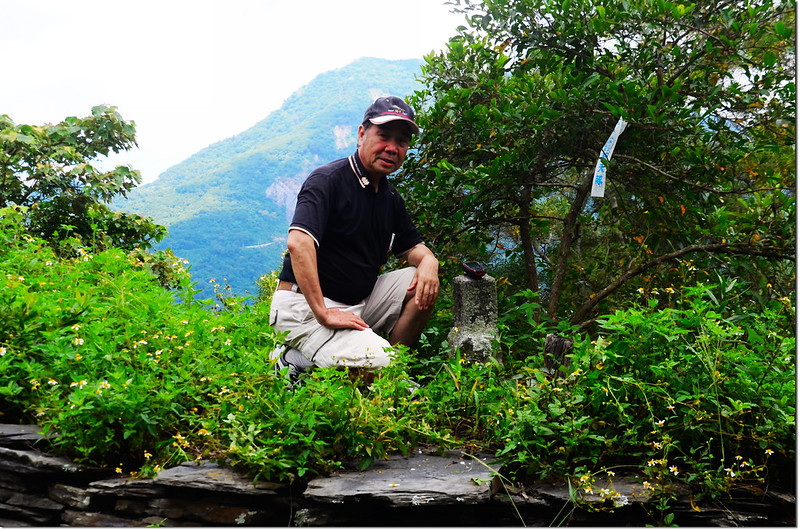
神山:標高748公尺,山頂立有一顆台灣省政府圖根補點,座標220866 2516945;另在觀景台第三層樓板上立有一顆內政部國土測繪中心GB06四等控制點,座標220874 2516946,標高755公尺;屏東縣霧台鄉。
外枋子林:標高30公尺,立有一顆土地調查局圖根點,座標191300 2588835(移位);台南市白河區。
糞祺科:標高43公尺,山頂立有一顆土地調查局圖根點,座標191300 2588835;台南市白河區。
將軍山:標高68公尺,山頂立有一顆聯勤測量隊編號內補156號的三等三角點,座標192598 2589161;台南市白河區。
-------------------------------------------------------------------------------------------------------
神山:標高748公尺,山頂立有一顆台灣省政府圖根補點,座標220866 2516945;另在觀景台第三層樓板上立有一顆內政部國土測繪中心GB06四等控制點,座標220874 2516946,標高755公尺;屏東縣霧台鄉。
所謂霧台神山是指神山部落西側霧台神山公園神山公園上的小山頭,地圖上並未標示該山頭,全國三角點資料上也未有基點資料記載;今年二月份祥馬前輩登頂該山頭無意間發現山頭立有一顆台灣省政府圖根補點,為便於辨識乃以該山頭位於神山部落而自行命名為神山。
行車資訊:
三地門沿台24線往霧台,在三德檢查哨登記後一路往東行,在將進入神山部落前右彎處台24線里程約37.3K處遇左下往神山瀑布叉路口旁空地停車。
步程簡述:
由停車處對面石階步道上山(220958 2517089,標高675公尺);
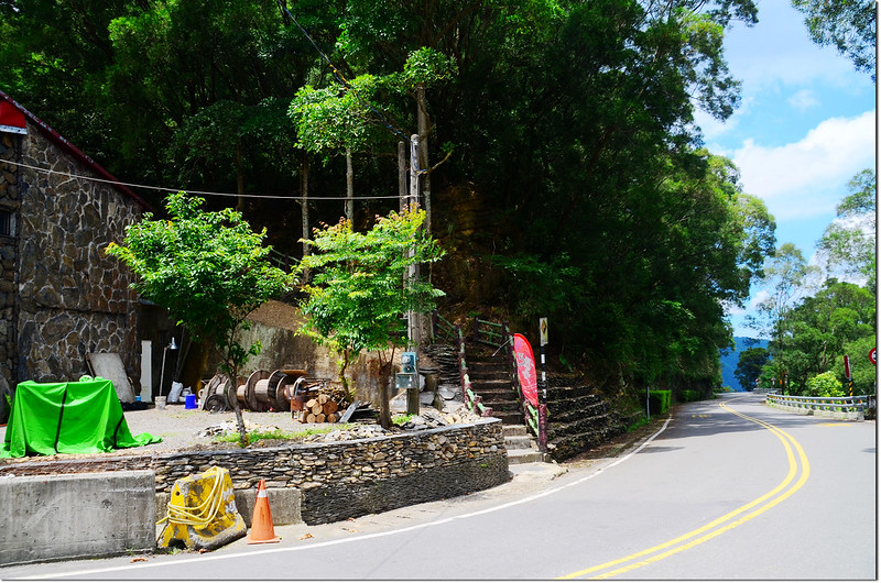
神山登山口
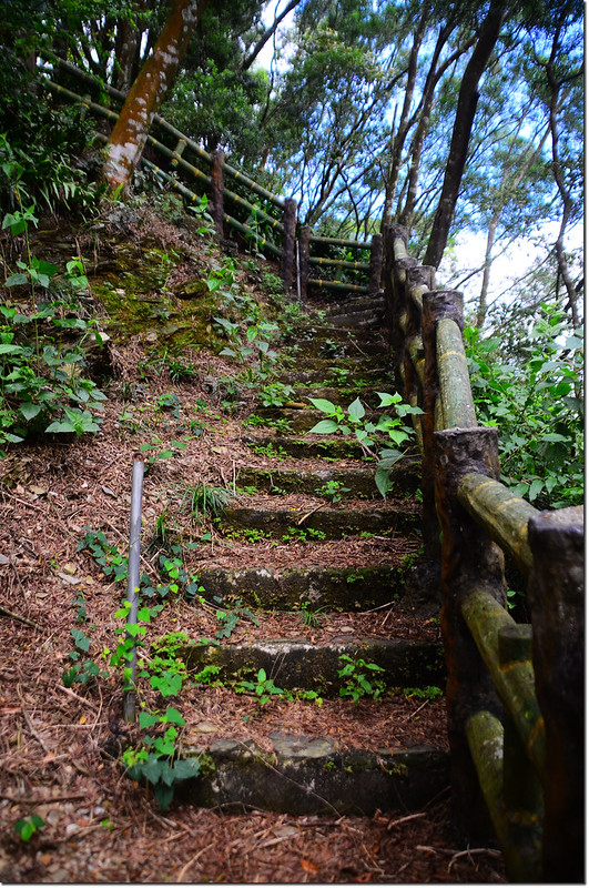
神山登山步道
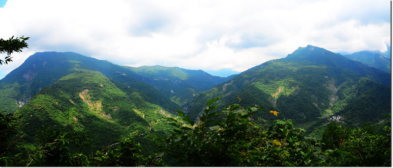
神山步道西北眺德文山(L)、戶亞羅山(R)
行約220公尺,爬升近80公尺後抵達山頂一座三層觀景台,在觀景台西側8公尺小高台上即見台灣省政府圖根補點(座標220866 2516945,標高748公尺);
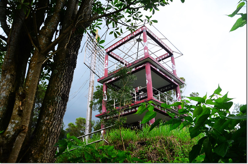
神山山頂觀景台
神山圖根補點,背景為戶亞羅山
神山台灣省政府圖根補點(Elev. 748 m)
神山山頂(背景為德文山)
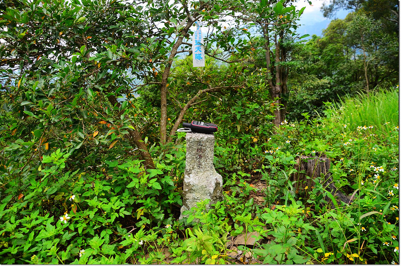
另在觀景台第三層樓板上立有一顆內政部國土測繪中心GB06四等控制點,座標220874 2516946,標高755公尺。
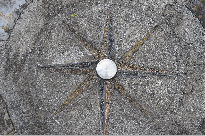
神山內政部國土測繪中心GB06四等控制點(Elev. 755 m)
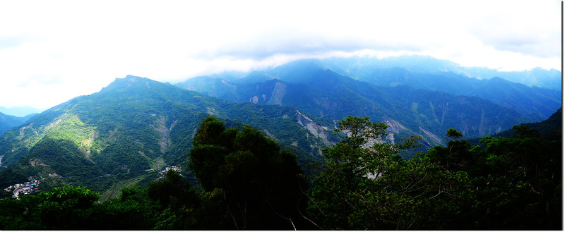
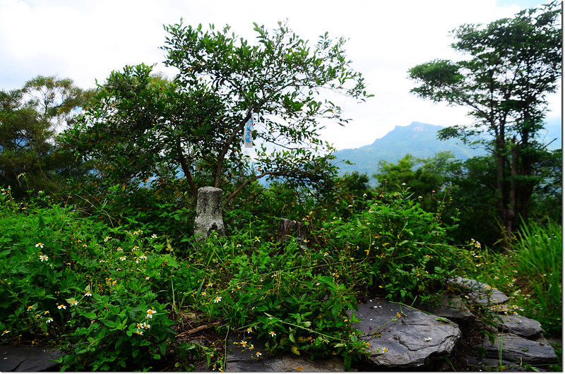
神山北眺
神山山頂西眺三地山
神山山頂西北眺三地山~德文山連稜
-------------------------------------------------------------------------------------------------------
外枋子林:標高30公尺,立有一顆土地調查局圖根點,座標191300 2588835(移位);台南市白河區。
行車資訊:
由白河林初埤木棉道往西走南90鄉道1.1公里後右轉再行450公尺後右轉沿舊鐵道行450公尺停車,外枋子林圖根點於2014年5月份經由張醫師發現棄置在路旁,過一個月祥馬前輩重立於路旁,座標191300 2588835;但今天抵達該處時發現該基點已不見,可能已被拔除盜走。
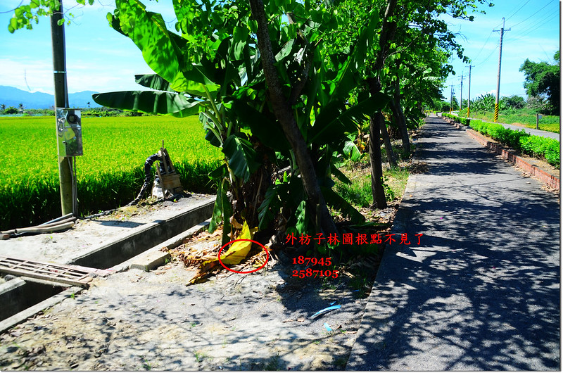
外枋子林原圖根點點位
-------------------------------------------------------------------------------------------------------
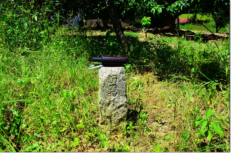
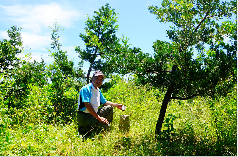
糞祺科:標高43公尺,山頂立有一顆土地調查局圖根點,座標191300 2588835;台南市白河區。
行車資訊:
由外枋子林回到林初埤木棉道續往東走南90鄉道2.1 公里,遇165縣道向左轉,1.5 公里後於南86-1鄉道向左轉,行約700 公尺於高架下右轉南86鄉道,550公尺後向左轉(電線桿“城廟高分9”),300 公尺後靠右行駛,再行260 公尺右轉果園小路,20公尺後停車。
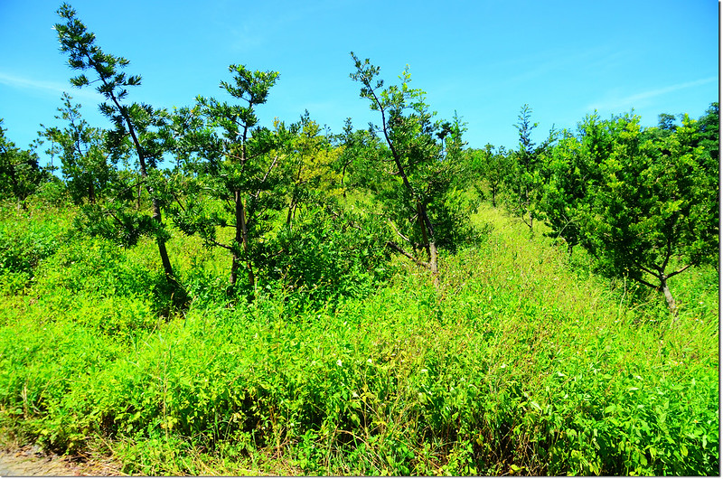
登山口望糞祺科土地調查局圖根點山丘
步程簡述:
停車處朝西南右上種植羅漢松的小山崙行約60公尺抵果園,在果園東側邊緣羅漢松林雜草叢中找到糞祺科土地調查局圖根點,座標191300 2588835,在圖根點北邊約5公尺處有一棵小龍眼樹。
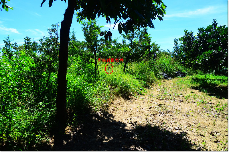
糞祺科土地調查局圖根點點位
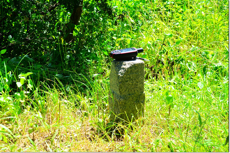
糞祺科土地調查局圖根點(Elev. 43 m)
糞祺科土地調查局圖根點
-------------------------------------------------------------------------------------------------------
將軍山:標高68公尺,山頂立有一顆聯勤測量隊編號內補156號的三等三角點,座標192598 2589161;台南市白河區。
行車資訊:
由糞祺科停車處往東行37公尺後右轉果園間小路,450公尺後右轉165縣道,行約150公尺後至165縣道里程約7K處左轉往“賢德寶塔”,入口有三山宮牌坊;走約350公尺叉路,取右直行約180公尺遇衛兵崗哨停車。
步程簡述:
經一番交涉後勉強讓我進入找基點,但衛兵堅持同行;沿著大水泥車道西行(勿左下切入戰車教練場),550公尺後抵將軍山底下,由小徑右上切約30公尺抵達高台上的野外上課鐵棚,在鐵棚水泥地中央有一凹槽,洞深約30公分,將石塊、泥土等挖出,將軍山內補156號三等三角點在凹槽中,僅能見到基點頂端的十字,看不到基石四周的刻字。
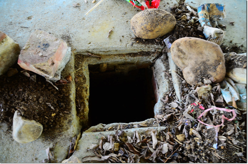
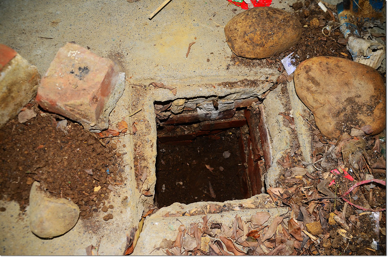
將軍山聯勤測量隊三等三角點(# 內補156號 Elev. 68 m)
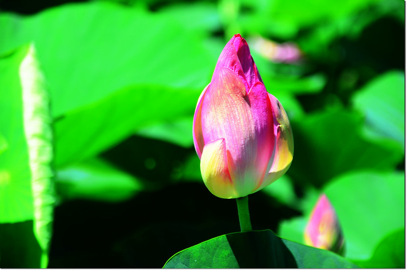
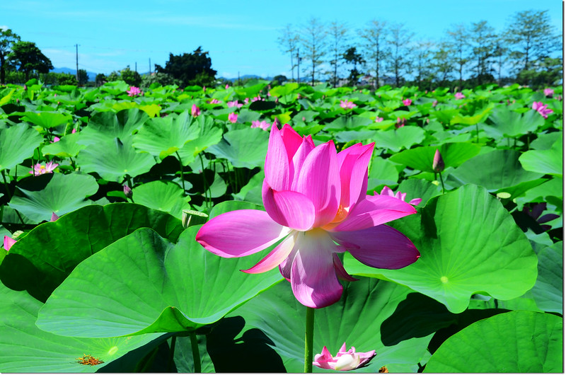
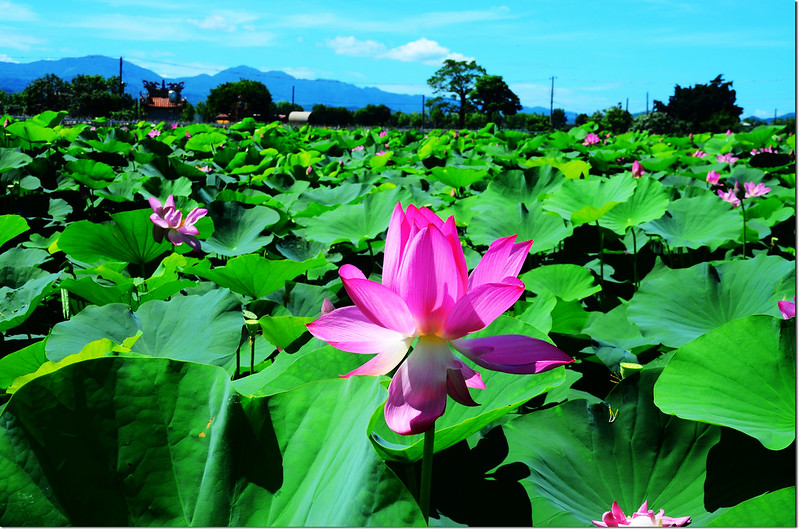
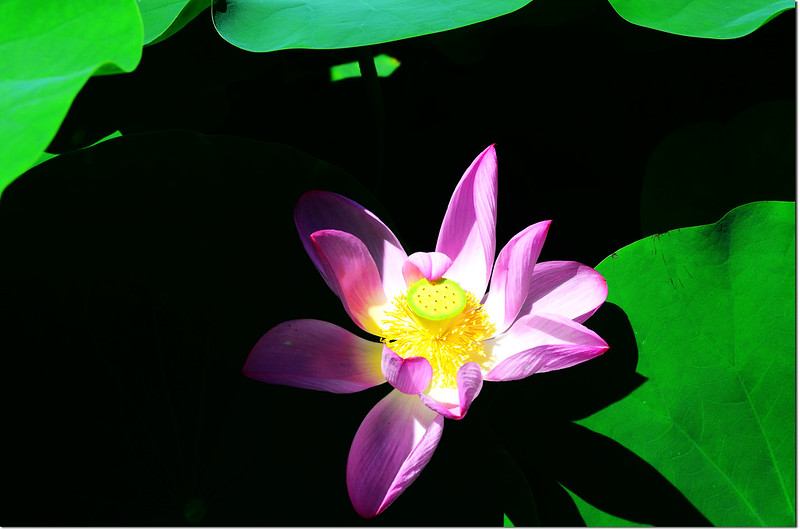
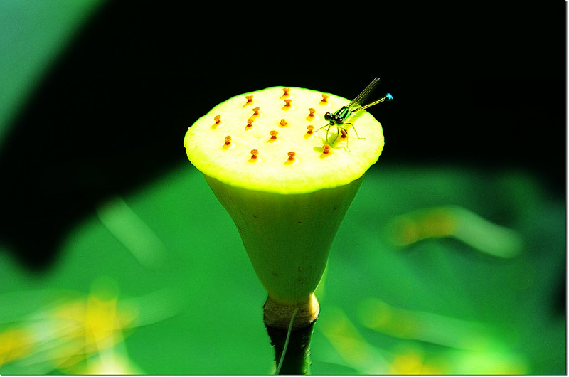
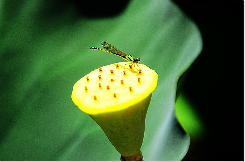
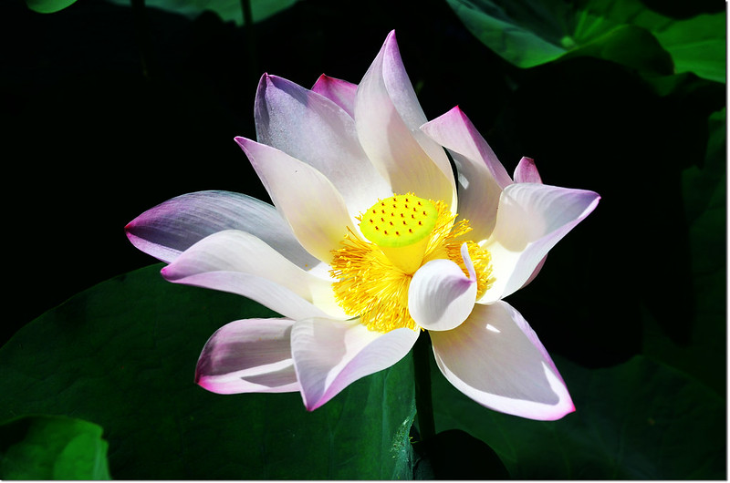
白河賞蓮
沒有留言:
張貼留言