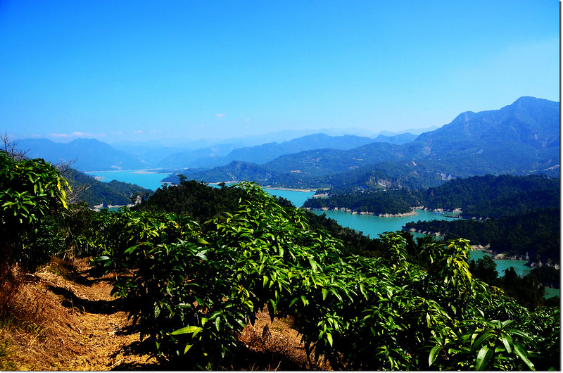
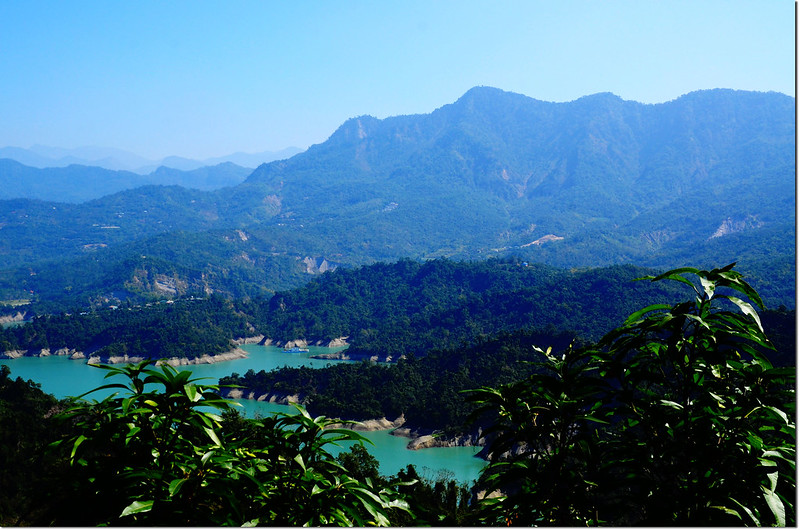
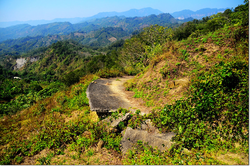
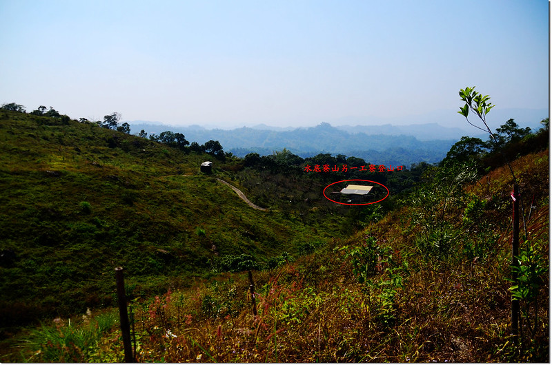
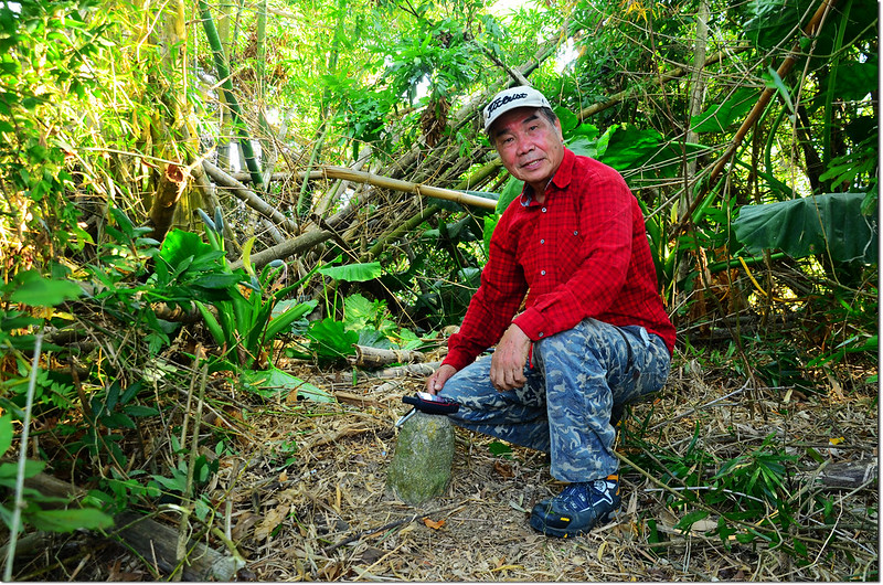
竹頭山工寮登山口俯瞰曾文水庫
攀登山頭:
竹頭山:位在台南市楠西區,標高519公尺,山頂立有一顆冠字福(21)的土地調查局圖根點,座標201198 2570192。
水底寮山:位在台南市楠西區,標高478公尺,山頂立有一顆冠字福(22)的土地調查局圖根點,座標203676 2568626。
斗六山:位在台南市楠西區,標高354公尺,山頂立有一顆冠字福(17)的土地調查局圖根點,座標198627 2568220。
北勢山:位在台南市楠西區,標高451公尺,山頂立有一根山字水泥柱,座標202537 2565475。
-------------------------------------------------------------------------------------------------------
竹頭山:位在台南市楠西區,標高519公尺,山頂立有一顆冠字福(21)的土地調查局圖根點,座標201198 2570192。
行車資訊:
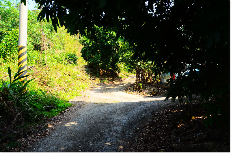
由玉井沿台3線北上往大埔,行至台3線里程約353.8K處遇左岔嘉145-1鄉道往曾文水庫,左轉走約2.0公里(嘉145-1鄉道里程13.65K,路右電線桿“曾埔30D”)遇左岔上坡小路(201792 2570152,海拔266公尺);
竹頭山嘉145-1鄉道入口
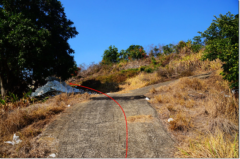
此小路路口有鐵門今天未上鎖,左轉順小水泥路續行陡上,途中遇果農告知來意,果農應允鐵門暫不上鎖後安心上山,山路很陡兩旁是芒果園,快到高點時轉為楊桃園,山路行約800公尺抵一工寮,在工寮前岔路停車(201433 2570319,海拔407公尺)。
步程簡述:
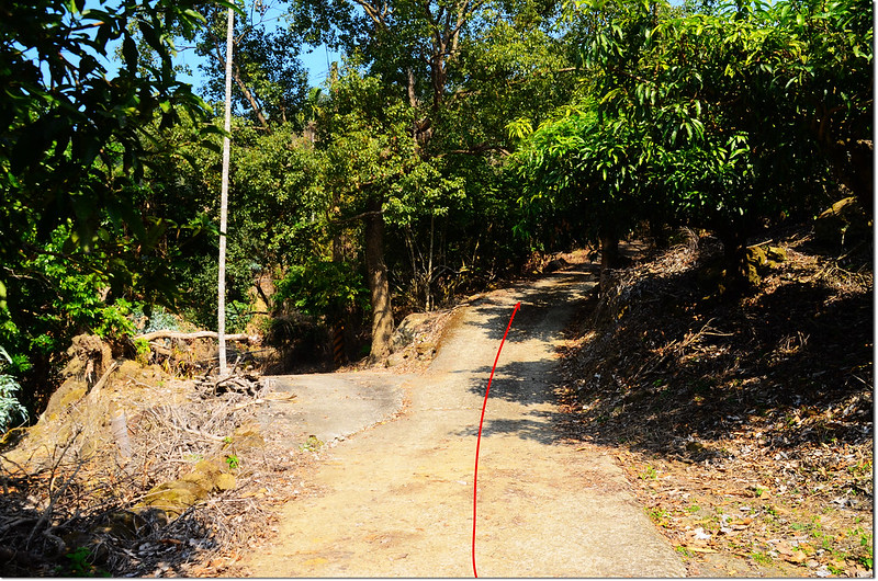
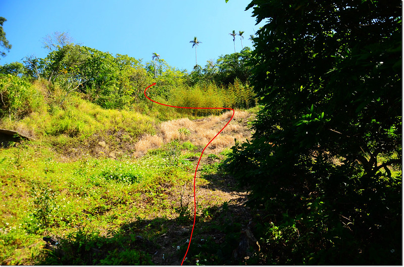
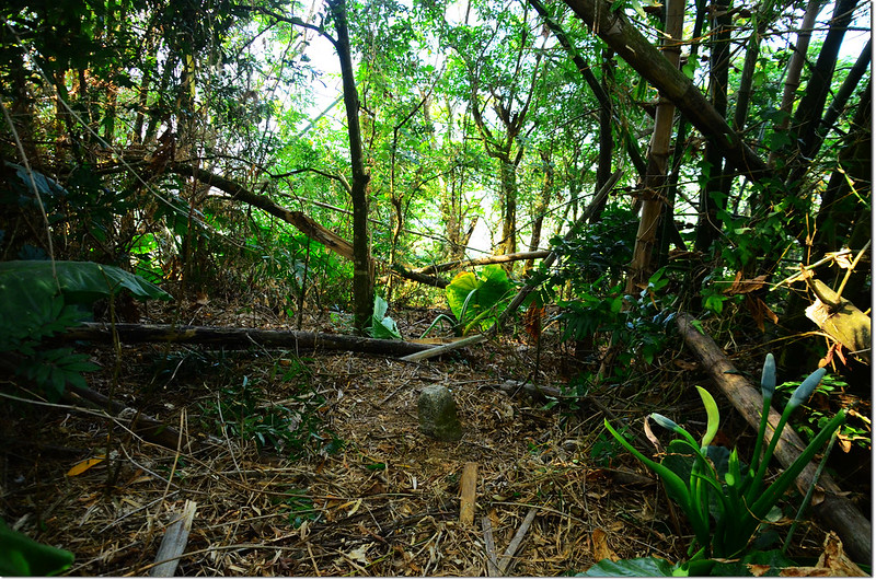
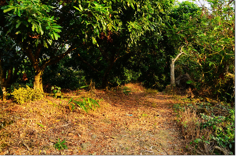
停車處出發,由工寮經過適逢工寮主人夫妻倆在屋內整理採收下來的楊桃,打招呼後沿水泥農路續行約100公尺路止前為養雞場,取右沿果園小土路之字爬升,再行約150公尺抵果園上端(201301 2570220,海拔459公尺),此為山徑登山口;
竹頭山工寮登山口
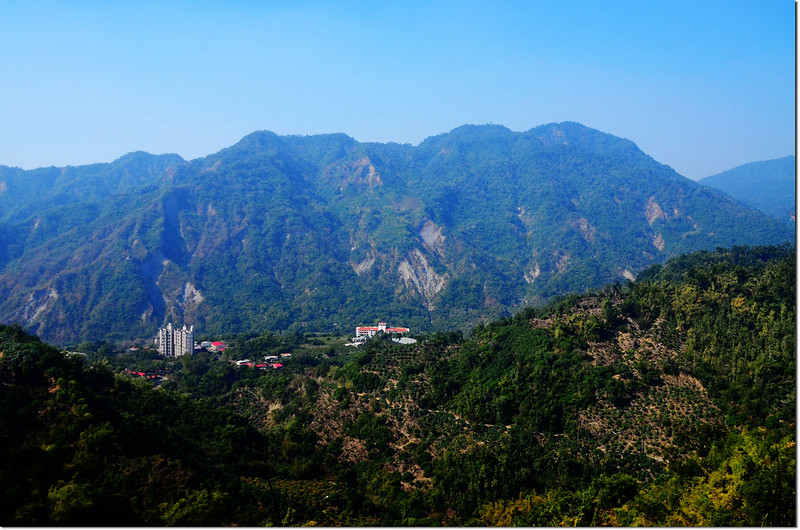
竹頭山俯瞰曾文水庫
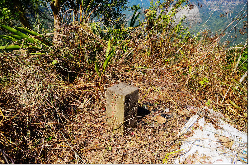
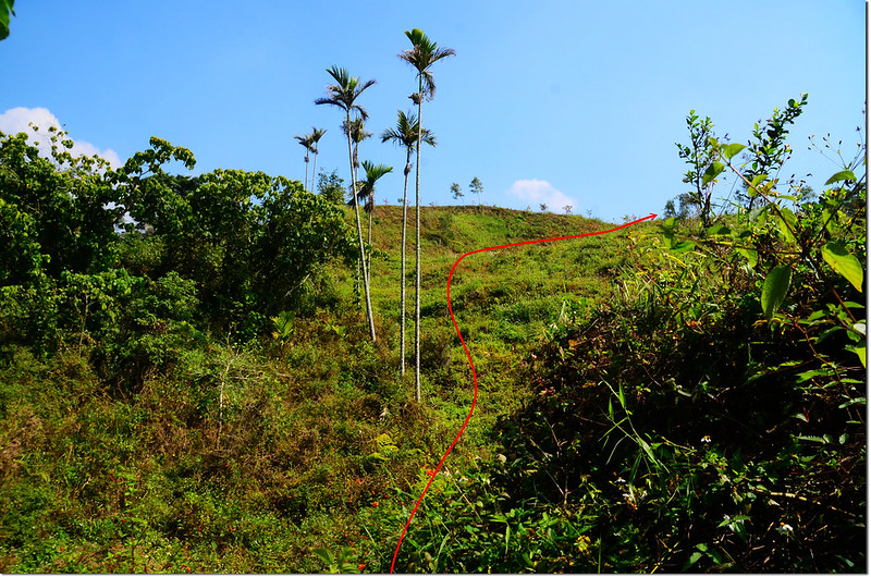
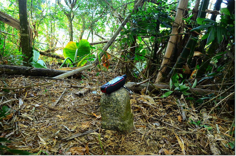
鑽入林中本想沿稜線直攻高點,終因太陡峭而取左腰繞至凹谷處上攀,迂迴上至513山頭後取左南行,約25公尺見一根山字水泥柱(201195 2570235,海拔514公尺);
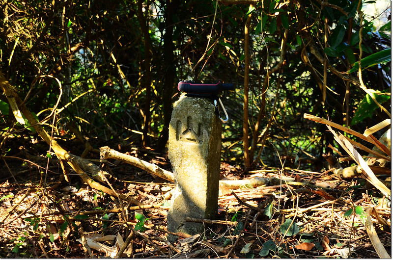
竹頭山山字水泥柱
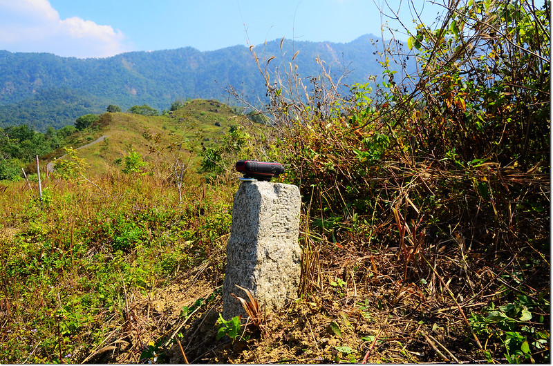
再續行約40公尺到最高點,即可見到竹頭山的土地調查局圖根點,旁有一根曾文溪水源保護區界樁。
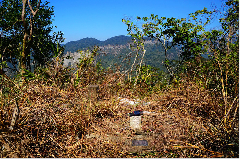
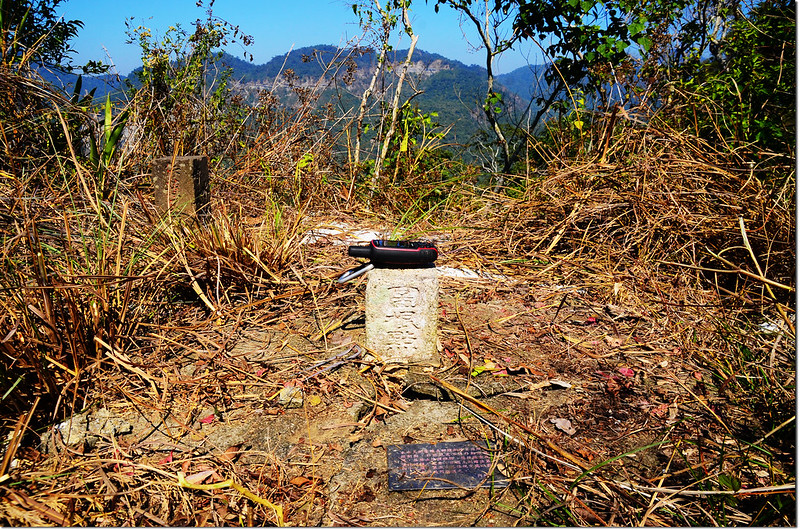
竹頭山土地調查局圖根點(Elev. 519 m)
竹頭山曾文溪水源保護區界樁
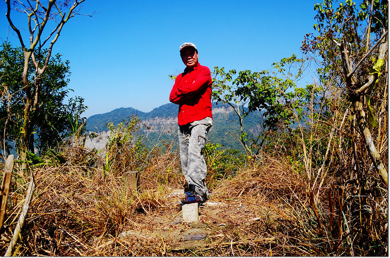
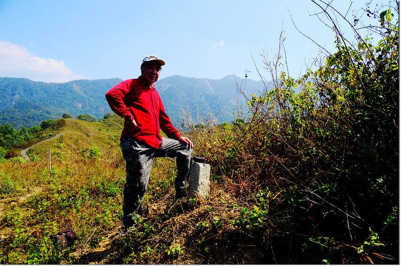
竹頭山山頂
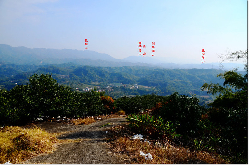
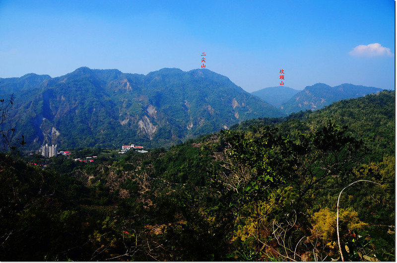
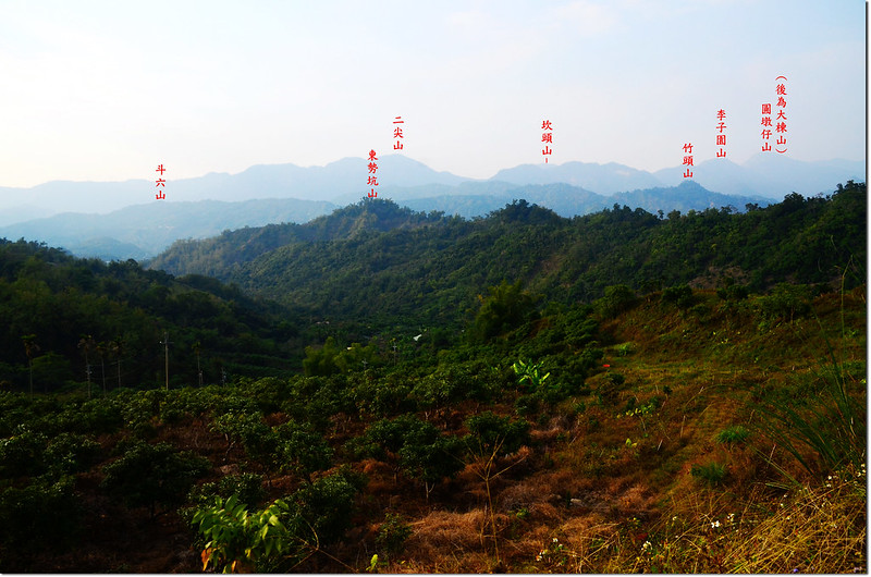
竹頭山山頂俯瞰曾文水庫、西北望二尖山等,展望不錯。
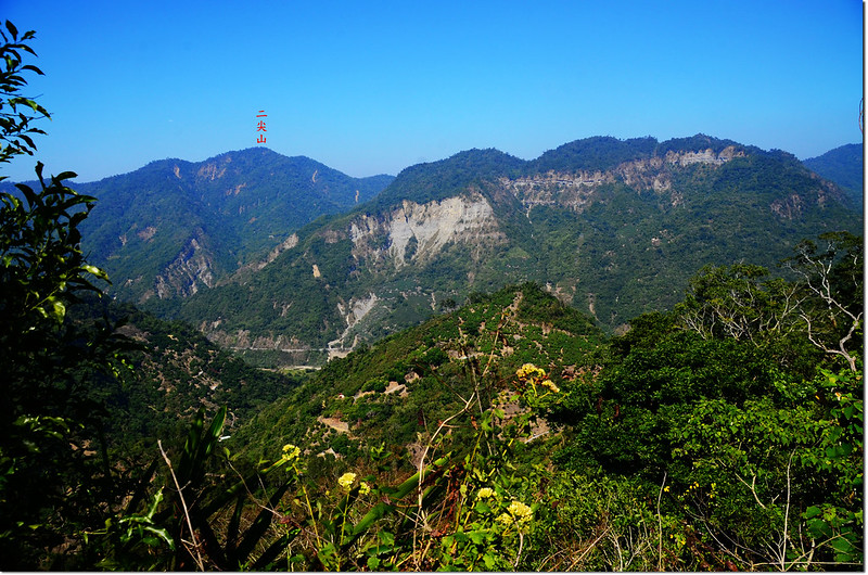
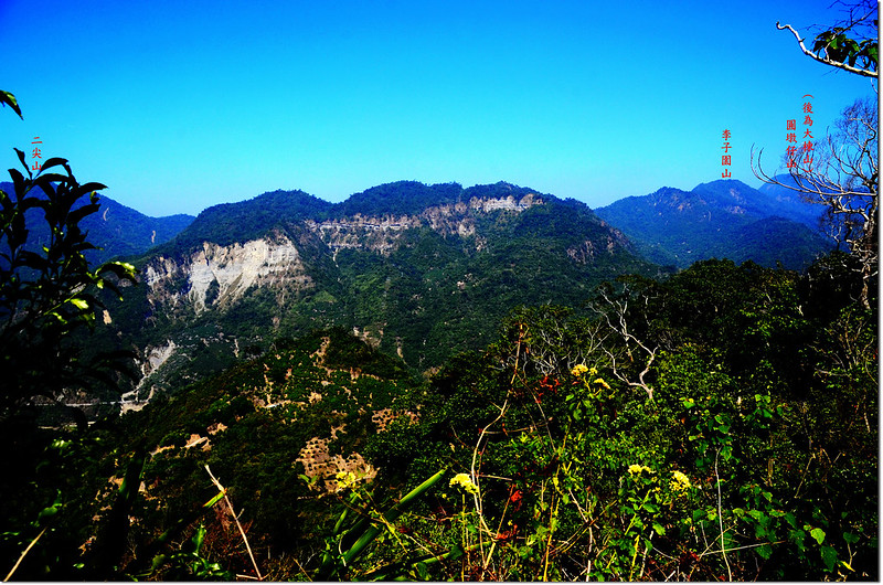
竹頭山山頂西北望
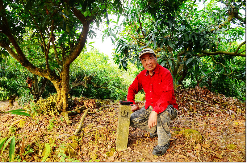
此山由工寮停車處上山約28分,下山約18分;如果鐵門上鎖由嘉145-1鄉道里程13.65K處起登上山估計要一小時;下山後和果園工寮黃先生夫妻閒聊好一陣子,臨行又送了我一袋楊桃,好感激!
-------------------------------------------------------------------------------------------------------
水底寮山:位在台南市楠西區,標高478公尺,山頂立有一顆冠字福(22)的土地調查局圖根點,座標203676 2568626。
行車資訊:
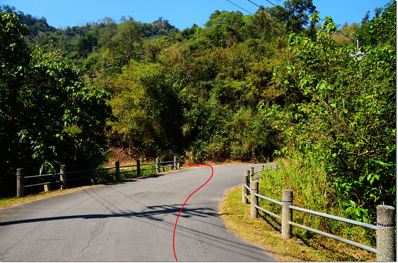
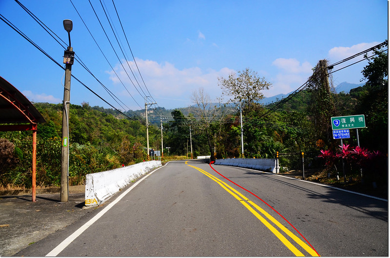
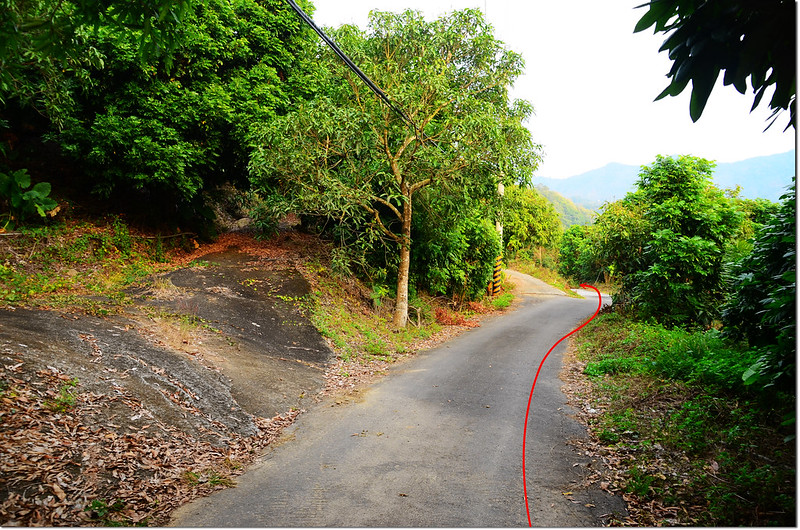
由竹頭山循原路下山回到台3線右轉往楠西,行約2.6公里至復興橋頭前(台3線里程356.4K,路右電線桿“密枝高分291”,橋南端路右一間土地公廟)左轉下坡小路,里程歸零累計。
水底寮山台3線岔路
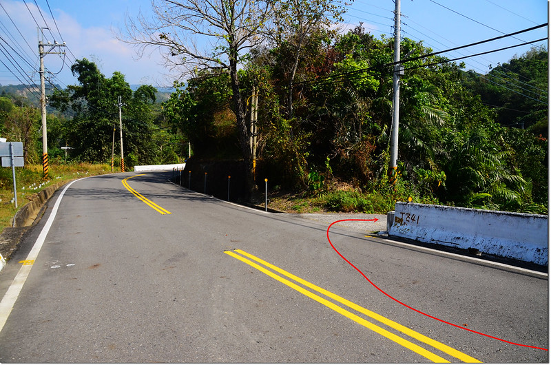
1.1K 遇右岔路不取(電線桿“密枝高分291左31”),取左直行;
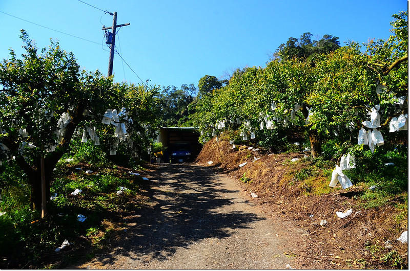
1.2K 經一工寮續行;曾文水庫
1.6K右、左岔路均不取(電線桿“密枝高分291左42”),取中直行上山;
水底寮山行車岔路
1.8K 遇岔路取左行;
2.0K 又遇岔路(電線桿“密枝高分291左54”)左右均可,我取左行(下山時特地右上探路,車行約360公尺抵一工寮,由工寮起登距水底寮山基點直線距離約一百公尺,有廢產道抵達山頂,可能較為好走);
水底寮山行車岔路
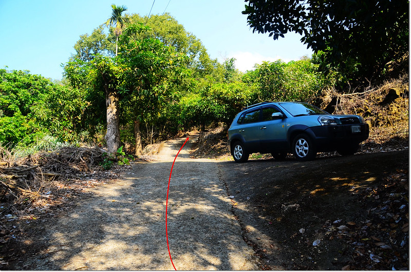
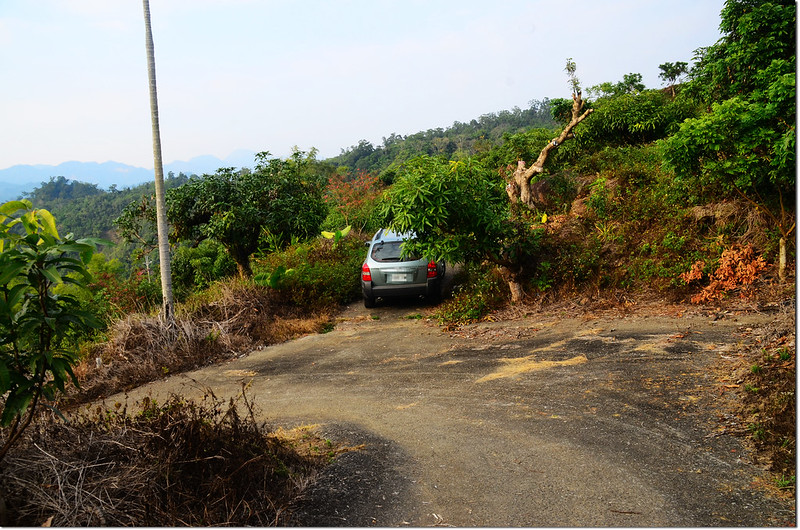
我取左岔再行約170公尺停車(203422 2568715,海拔405公尺)。
水底寮山停車處
步程簡述:
停車處沿水泥產道續行數十公尺後水泥路崩毀,越過坍方區隨即左上切往高處爬;
水底寮山農路坍方處
遇小片細竹林後左上切上稜線;
水底寮山登山路線
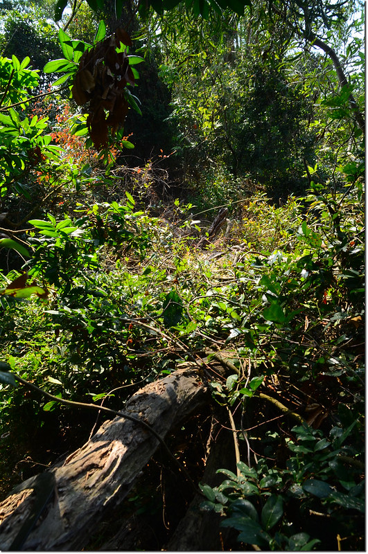
快到稜頂時植被難行取左腰繞,動刀砍過菅芒草後到一處已荒廢的開墾區;
水底寮山登山路線
取直往高點上登,上到高點再循稜東行約一百多公尺即見到水底寮山的土地調查局圖根點,基點立在瘦稜高處明顯好找;
水底寮山土地調查局圖根點(Elev. 478 m)
水底寮山山頂
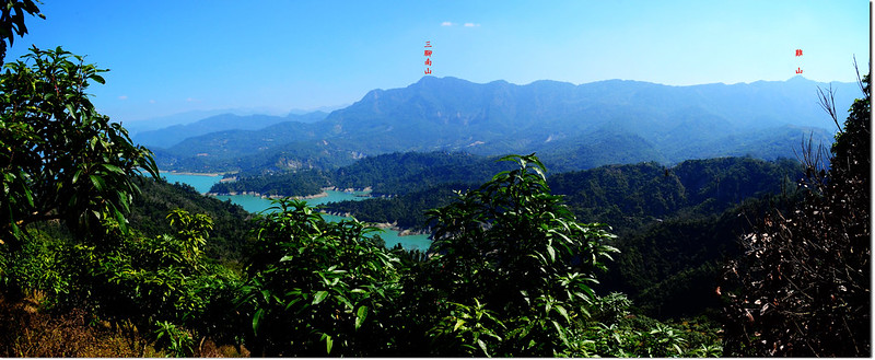
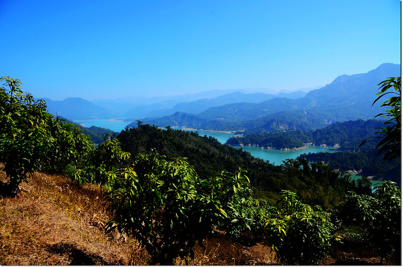
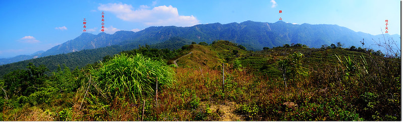
山頂展望不錯,東望三腳南山~竹子尖山連稜,北邊俯瞰曾文水庫及水庫邊諸山頭。
水底寮山俯瞰另一工寮登山口
水底寮山東望
水底寮山東北望
本山上山約20分鐘,下山酌減。
-------------------------------------------------------------------------------------------------------
斗六山:位在台南市楠西區,標高354公尺,山頂立有一顆冠字福(17)的土地調查局圖根點,座標198627 2568220。
行車資訊:
由水底寮山循原路回到台3線左轉續往楠西西南行,行約4公里後於台3線360.45K(路左電線桿“密枝高分166”)處遇右岔路往鳳梨山,右轉下坡走約600公尺抵景美橋,過橋再走約1.9公里於楠西鄉農會果樹產銷班旁遇左岔上坡路,左轉上山行250公尺後岔路取左直行,再行220公尺左岔上山前停車(198963 2568098,海拔313公尺;電線桿“C1BB41”)。
步程簡述:
停車處順左岔路上行,過一工寮續行約150公尺抵高點左轉沿稜線西行;
斗六山南眺
斗六山稜線岔路
稜線植被多不好走,尤其幾處刺竹叢很難穿越;
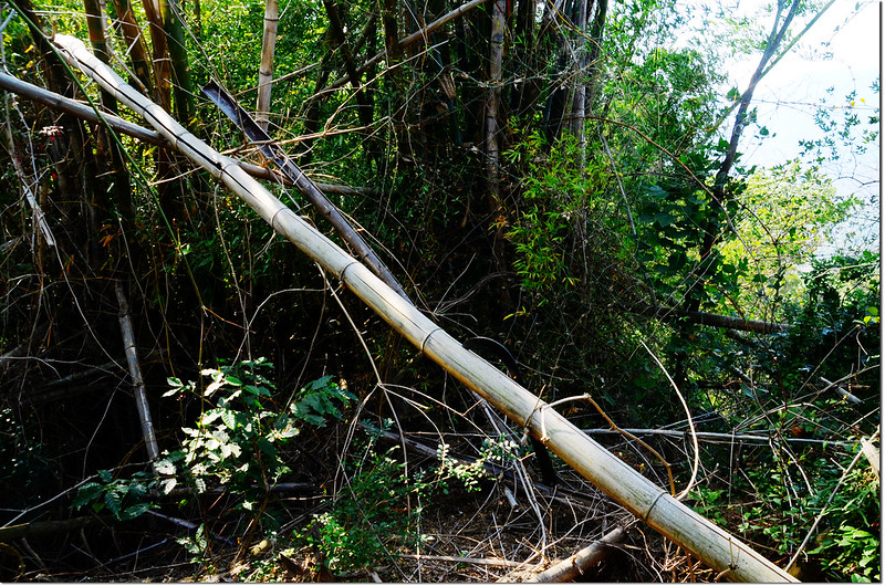
斗六山稜線山徑
斗六山稜線西北眺
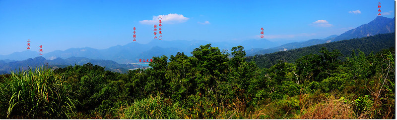
斗六山稜線俯瞰曾文水庫管理局
冒險由右側陡峭斜坡腰繞,短短直線距離約230公尺卻花了40分鐘才抵斗六山基點處,基點位在刺竹叢中間無展望,基點四角遭破壞幾成圓錐形。
斗六山土地調查局圖根點(Elev. 354 m)
斗六山山頂
此山上山47分鐘,下山35分鐘,不太好搞的一座小山!
-------------------------------------------------------------------------------------------------------
北勢山:位在台南市楠西區,標高451公尺,山頂立有一根山字水泥柱,座標202537 2565475。
行車資訊:
由斗六山循原路回到台3線右轉,行約150公尺在台3線里程360.6K處(客運密枝村站牌)左入南191鄉道往東勢坑,沿主幹道行約750公尺右岔往上不取,取左直行,再行40公尺左岔下坡不取,取右直行;直行約1.6公里後遇連續兩處左岔均不取,取右下坡直行;
北勢山行車岔路
下坡不久過觀音五號橋計行約1.2公里後左岔不取,取右直行60公尺後遇主岔路,左往二層坪、梅嶺,取右水泥農路續行約500公尺於工寮前岔路口停車(202249 2565590,海拔346公尺)。
北勢山停車處
步程簡述:
停車處右轉行經工寮沿水泥產道迂迴上行;
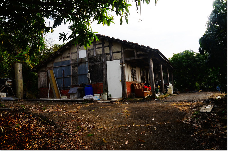
北勢山工寮
行約650公尺抵山頭最高點即見北勢山山字水泥柱立在路左果樹下。
北勢山山頂
北勢山展望
沒有留言:
張貼留言