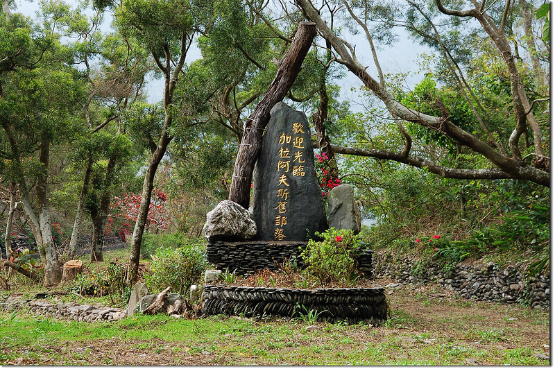
加拉阿夫斯舊部落(來義舊部落)
攀登山頭:
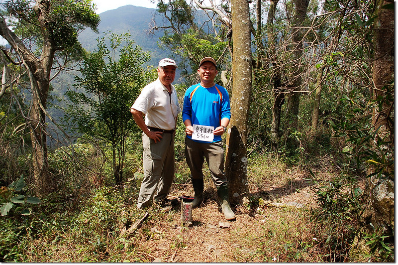
真雅社:位在屏東縣來義鄉,標高556公尺,山頂立有一顆台灣省政府圖根補點,座標217957 2491987。
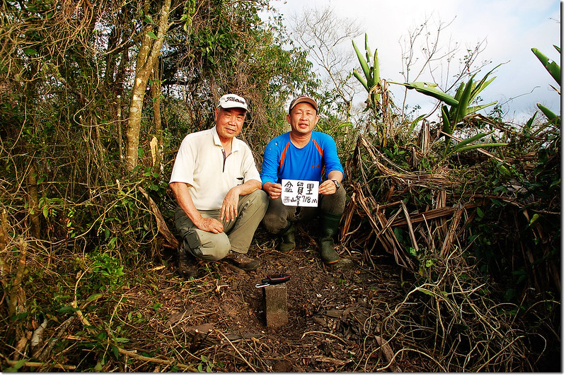
盆貿里山西峰:位在屏東縣來義鄉,標高718公尺,山頂立有一顆台灣省政府圖根補點,座標212696 2487294。
--------------------------------------------------------------------------------------------------------
真雅社:位在屏東縣來義鄉,標高556公尺,山頂立有一顆台灣省政府圖根補點,座標217957 2491987。
行車資訊:
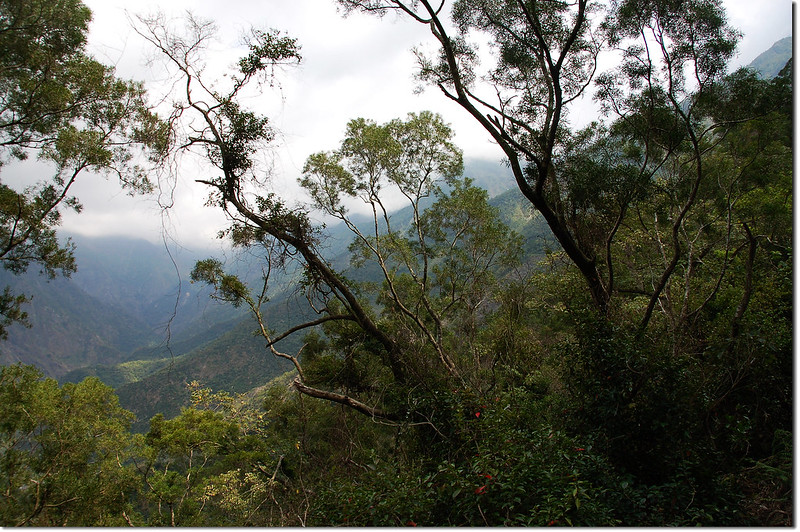
台一線省道南下,經潮州415.7 K處左轉屏110鄉道東行往來義,約7.8K後左轉往古樓,35公尺後右轉續沿著屏110鄉道前進;約2.5公里經過來義國小,不久經過來義大橋後左轉往義林村,再行約2.3公里抵來義村大牌樓;過來義村大牌樓再行1.2公里過東部落於溪底水泥路終止處為來義林道0K起點(216731 2492013,海拔200公尺),取右土石路沿來義林道上山;以下來義林道里程歸零累計。
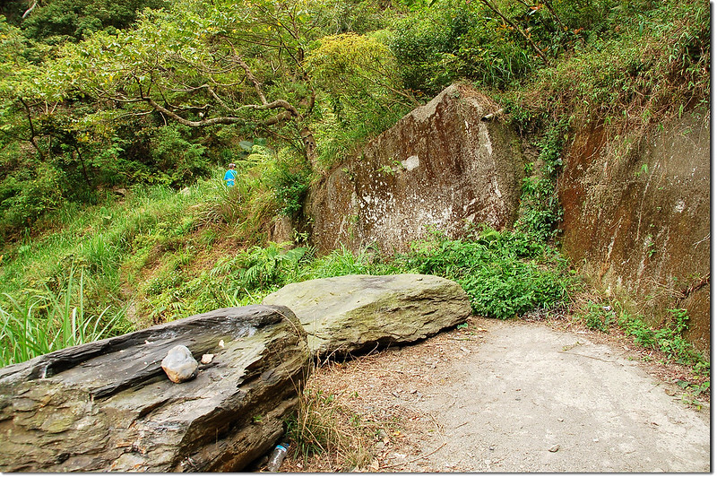
0.75K 河床上山轉彎處有一巨石,上書往“台東54.2K”標示的字樣,右轉蜿蜒上山;
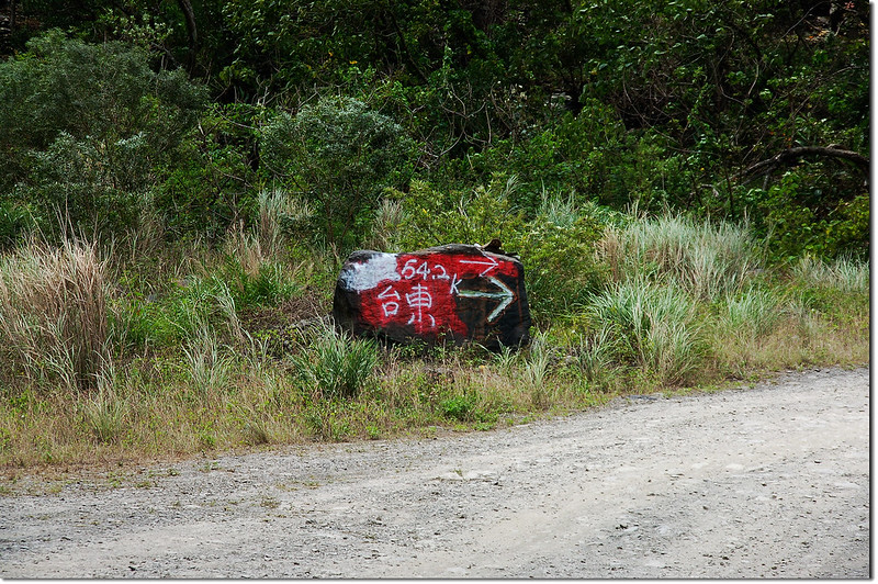
來義林道巨石指標
來義林道巨石指標
2.4K 抵來義林道主、支線岔路(216549 2491617 標高360公尺);右岔往來義林道支線(往久保山),取左岔沿主線續行;
4.5K 真雅社山登山口。
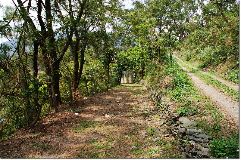
6.5K 加拉阿夫斯舊部落(來義舊部落)岔路
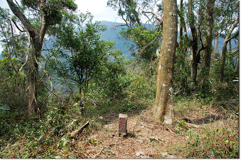
6.8K 來義社登山口(217963 2491974,標高559公尺);登山口就在林道一處右彎處,彎道寬敞可停車。
真雅社登山口
真雅社登山口望來義舊部落
真雅社登山口東望來社溪上游
真雅社登山口
真雅社登山口望來義舊部落
真雅社登山口東望來社溪上游
步程簡述:
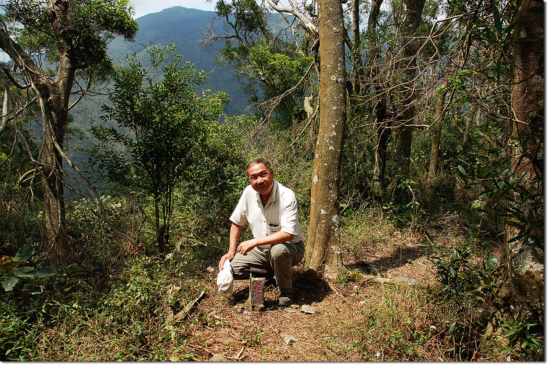
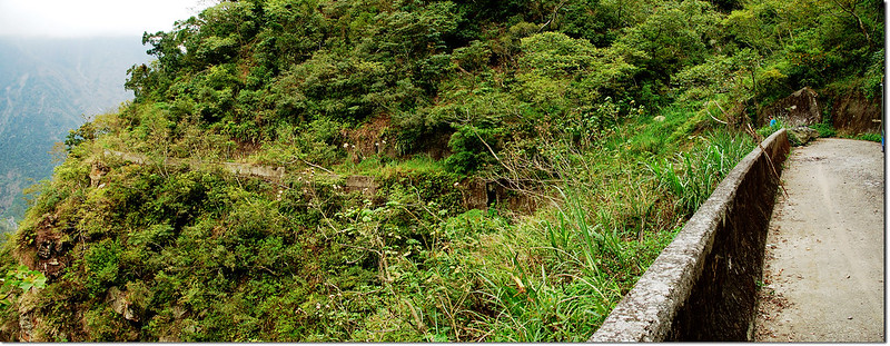
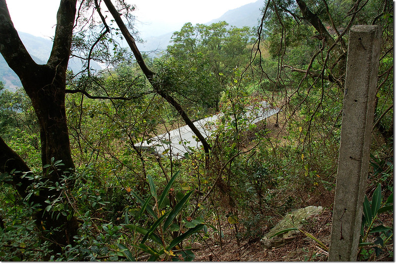
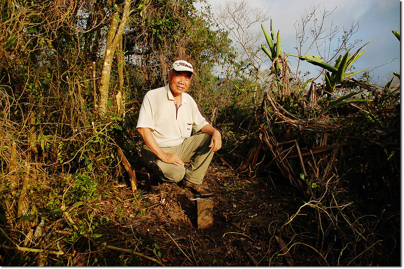
停車處為一越稜點,此稜線是大武藏山北稜快要下探到來社溪谷的一條支稜;真雅社省府圖根補點就立在林道下方約10公尺的肩稜處;
真雅社台灣省政府圖根補點(Elev. 556 m)
真雅社山頂
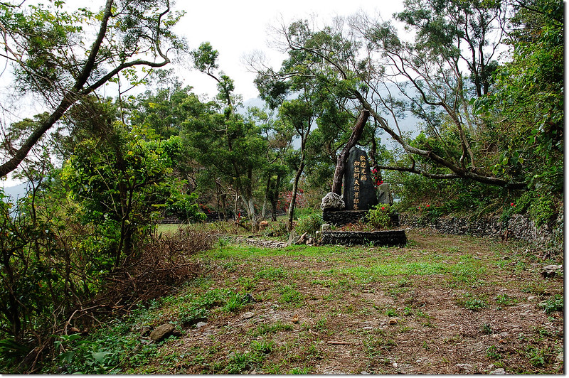
在此肩稜左(西)邊約250公尺另一支稜平坦處即是加拉阿夫斯舊部落(來義舊部落)的舊址,地圖上標示為“真雅社”,真雅社應為來義社早期的名稱。
真雅社台灣省政府圖根補點(Elev. 556 m)
真雅社山頂
在此肩稜左(西)邊約250公尺另一支稜平坦處即是加拉阿夫斯舊部落(來義舊部落)的舊址,地圖上標示為“真雅社”,真雅社應為來義社早期的名稱。
在基點處拍完照後回到林道停車處煮中餐、泡茶,今天和阿標將行程定為來義林道休閒之旅;
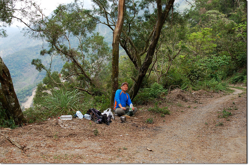
來義林道逍遙遊
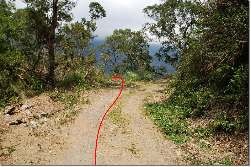
休息一陣子後再開車探探林道,目前來義林道全線一般車輛可開到約8.7K林道坍方中斷處,如一般轎車幾處小落差小心開應無問題。
來義林道8.7K行車終點
來義林道8.7K中斷處
已廢棄來義林道
來義林道逍遙遊
休息一陣子後再開車探探林道,目前來義林道全線一般車輛可開到約8.7K林道坍方中斷處,如一般轎車幾處小落差小心開應無問題。
來義林道8.7K行車終點
來義林道8.7K中斷處
已廢棄來義林道
回程在林道6.5K處停車看看加拉阿夫斯舊部落(來義舊部落),因有鐵柵門阻隔僅在高處及門口拍拍照後下山;
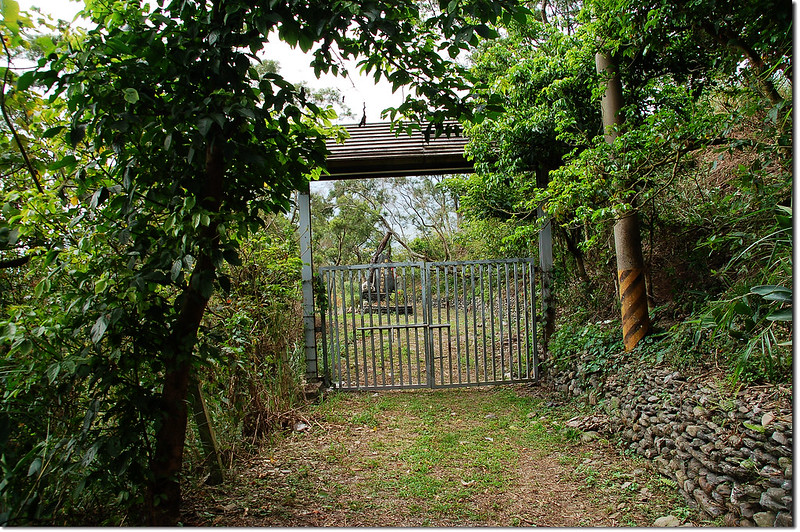
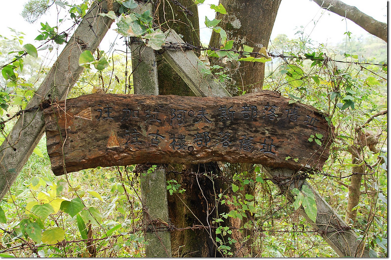
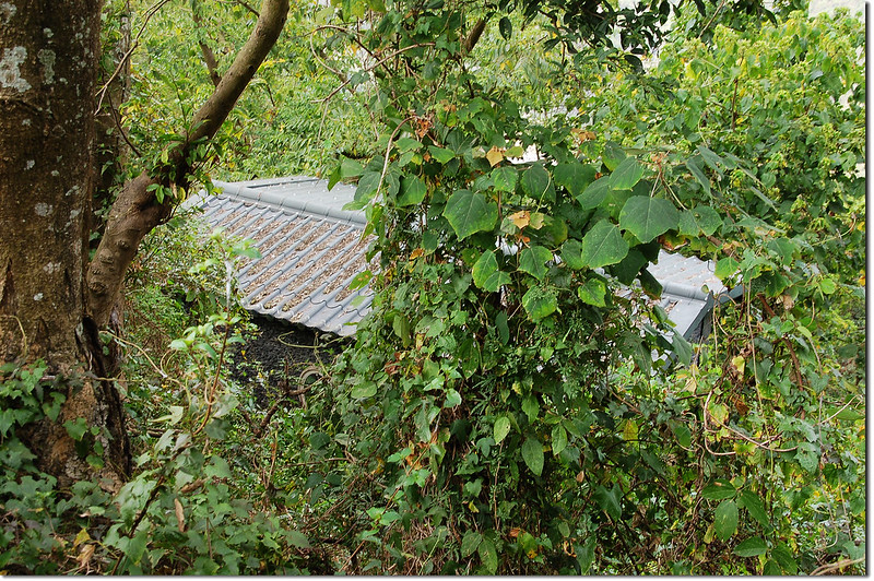
來義舊部落
時間還早續往文樂社區探探也是近期大鵬醫師發表的盆貿里山西峰省府圖根補點。
來義舊部落
時間還早續往文樂社區探探也是近期大鵬醫師發表的盆貿里山西峰省府圖根補點。
--------------------------------------------------------------------------------------------------------
盆貿里山西峰:位在屏東縣來義鄉,標高718公尺,山頂立有一顆台灣省政府圖根補點,座標212696 2487294。
行車資訊:
由真雅社循原路回到來義後左轉經丹林大橋往丹林,抵丹林後再沿屏113鄉道往文樂;屏113行約3.8公里抵文樂社區外環道左轉,外環道行約800公尺抵文樂橋右轉;由文樂社區過文樂橋(210670 2488033)沿產道上山一路沿主線(電線桿編號為“文樂支67R…”)上山,行約3.5公里水泥路終點遇岔路(212373 2487965),取右岔土石路上山,此後必須是高底盤車。
土石路再行約1.2公里遇岔路(212812 2487740),左直行下坡往望嘉舊社入口不取,取右岔上山;過岔路再行200公尺路況不佳在一右彎處停車(四傳車可續行);
步程簡述:
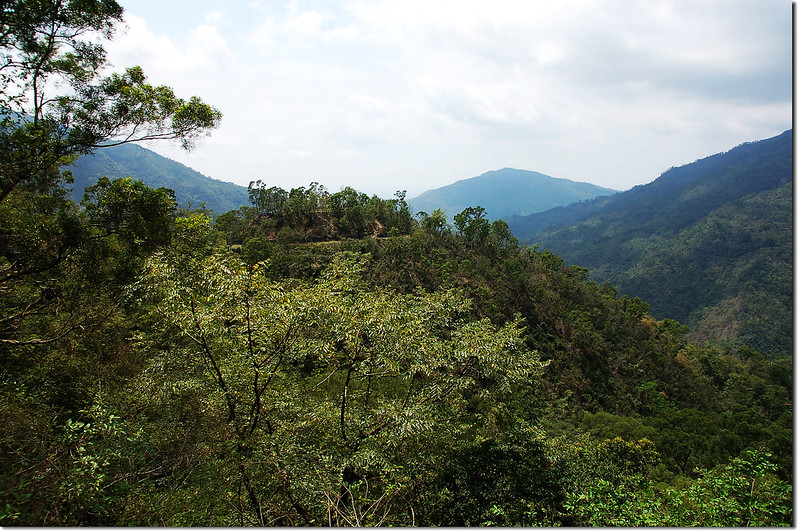
盆貿里山林道東南望盆貿里山(中)
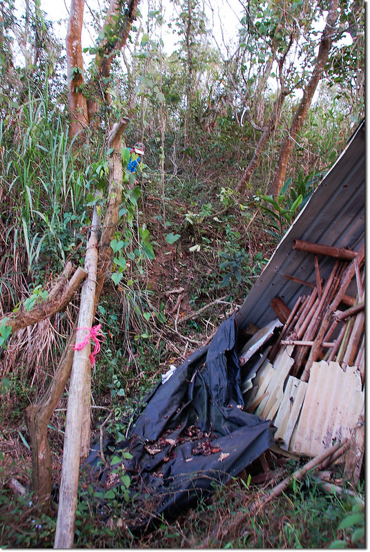
停車處沿產道續行500公尺遇路右一間工寮廢墟,此為盆貿里西峰登山口(212664 2487425,海拔671公尺);
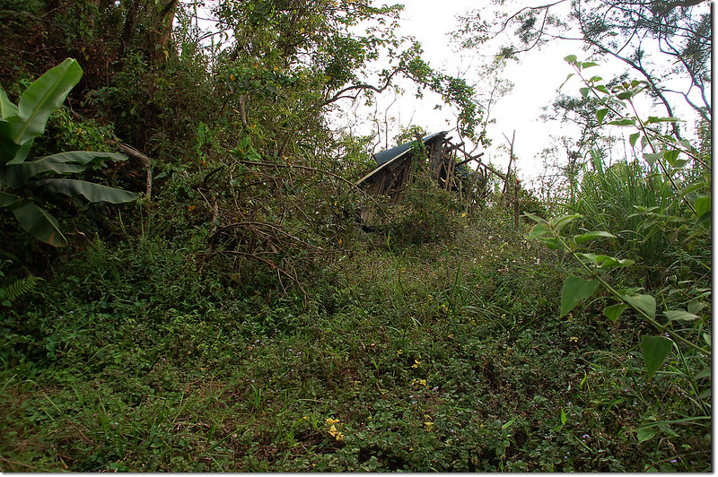
盆貿里山西峰工寮登山口
產道如續行數百公尺即可到盆貿里山的羊寮登山口。
由工寮左側上山;
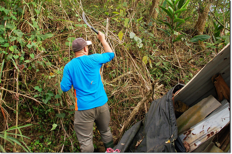
盆貿里山西峰工寮登山口
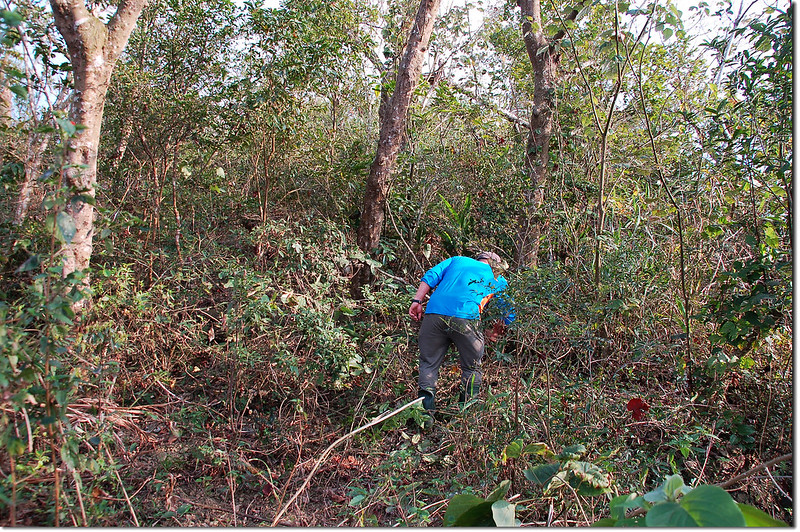
登盆貿里山西峰途中
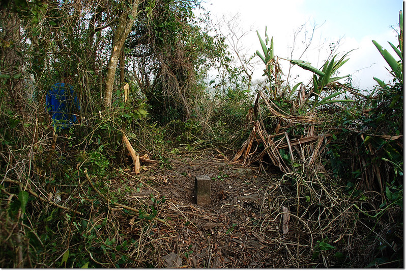
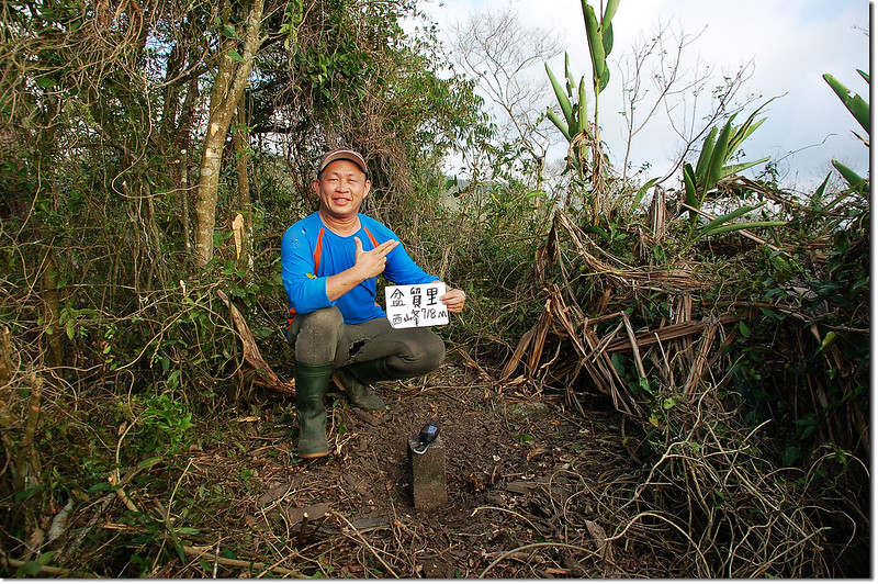
行約190公尺登上最高點即見到盆貿里山西峰圖根補點(212696 2487294,海拔718公尺),基點在最高點一棵大枯木右邊。
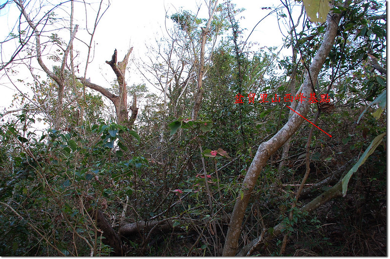
盆貿里山西峰台灣省政府圖根補點點位
盆貿里山西峰山頂
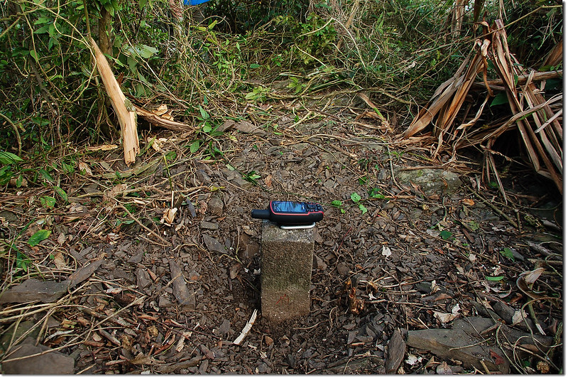
盆貿里山西峰台灣省政府圖根補點(Elev. 718 m)
盆貿里山西峰山頂
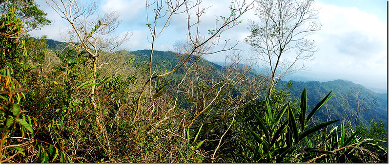
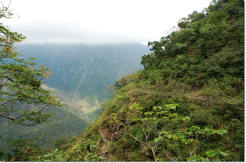
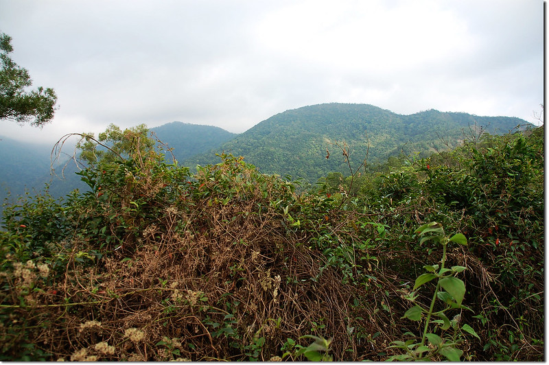
盆貿里山西峰展望
沒有留言:
張貼留言