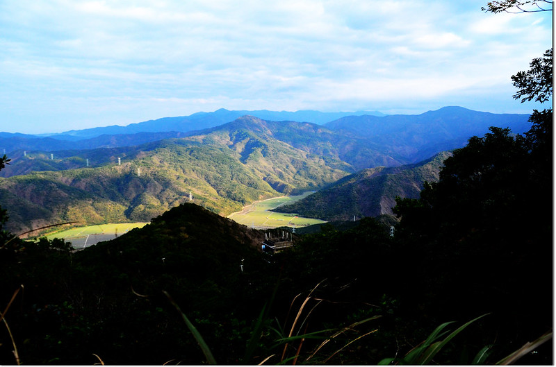
登北里龍山途中北望群山
上個月7號才和山友小李等登上北里龍山,當時山頭上還是只有一顆仿基點,而原冠字補近(18)的森林三角點一直以來被認為是遺失的,前天(5)接到阿明教授來電,說他找到了北里龍山冠字補近(18)的森林三角點,已將他移置山頂平台,距那顆仿基點約6公尺處,隔日迫不及待的約阿標前往探訪這顆剛出土的基點。
--------------------------------------------------------------------------------------------------------
北里龍山位於屏東縣獅子鄉,標高813公尺,山頂立有一顆冠字補近(18)的森林三角點,但有紀錄以來還沒看到有山友拍到基石的紀錄,山頂上有某登山隊伍立了一顆上面刻十字另一面刻著RF英文字的不明基石,座標221766 2454625,直到2018.02.05山友陳明全教授才從仿基點東北北方約10公尺稍低處找到平躺在地面的補近(18)森林三角點,而將他挖出重立於仿基點北方6公尺處(221766 2454631),這顆一直以來被山友公認是遺失的基點終得重見天日。
登山里程:來回3.6公里
總爬升高度:386公尺
登山時間:2小時45分
--------------------------------------------------------------------------------------------------------
行車資訊:
由楓港開車沿台9線往台東東行,行至台9線里程472K新路社區時右轉進入社區,進入社區道路行約150公尺右轉上山,上山道路再行約600公尺遇岔路取左上(路左有座方形水泥蓄水槽),再行約1.0公里後抵山蘇園工寮遇岔路取左行,然後一路沿水泥道路迂迴上山,再行約2.3公里抵達微波站,將車停放微波站前路左空地(221346 2455437,海拔427公尺);從台9縣岔路行車至此約4.0公里。
步程簡述:
由停車處續前行60公尺右轉微波站旁小土石產道上行;

微波站前岔路

北里龍山產道北望中心崙山

北里龍山產道北望中心崙山(左) 、草普後山(右)及南北湖呂山(後)

北里龍山產道北望中心崙山 、南北湖呂山(後)
此土石產道尚可行駛小型農用搬運車,行約630公尺抵達一座機房;

北里龍山機房
在機房前2~30公尺處右轉進入廢產道上山(221445 2455101,海拔544公尺);

登北里龍山途中俯瞰西海岸
廢產道迂迴行約400公尺廢產道終止進入登山小徑陡登;

登北里龍山途中俯瞰西海岸

登北里龍山途中俯瞰楓港市區


登北里龍山途中北望群山

登北里龍山途中北望南、北湖呂山(後)

芒草區
目前北里龍山登山路徑清楚,路條一路綁到基點旁,從停車處到登頂約1小時15分鐘。

北里龍山補近(18)森林三角點發現現場


北里龍山補近(18)森林三角點(Elev. 813 m)


北里龍山山頂


穗花蛇菰(雌株)
微波站前岔路
北里龍山產道北望中心崙山
北里龍山產道北望中心崙山(左) 、草普後山(右)及南北湖呂山(後)
北里龍山產道北望中心崙山 、南北湖呂山(後)
此土石產道尚可行駛小型農用搬運車,行約630公尺抵達一座機房;
北里龍山機房
在機房前2~30公尺處右轉進入廢產道上山(221445 2455101,海拔544公尺);
登北里龍山途中俯瞰西海岸
廢產道迂迴行約400公尺廢產道終止進入登山小徑陡登;
登北里龍山途中俯瞰西海岸
登北里龍山途中俯瞰楓港市區
登北里龍山途中北望群山
登北里龍山途中北望南、北湖呂山(後)
芒草區
目前北里龍山登山路徑清楚,路條一路綁到基點旁,從停車處到登頂約1小時15分鐘。
北里龍山補近(18)森林三角點發現現場
北里龍山補近(18)森林三角點(Elev. 813 m)
北里龍山山頂
穗花蛇菰(雌株)
沒有留言:
張貼留言