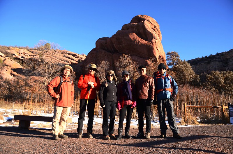
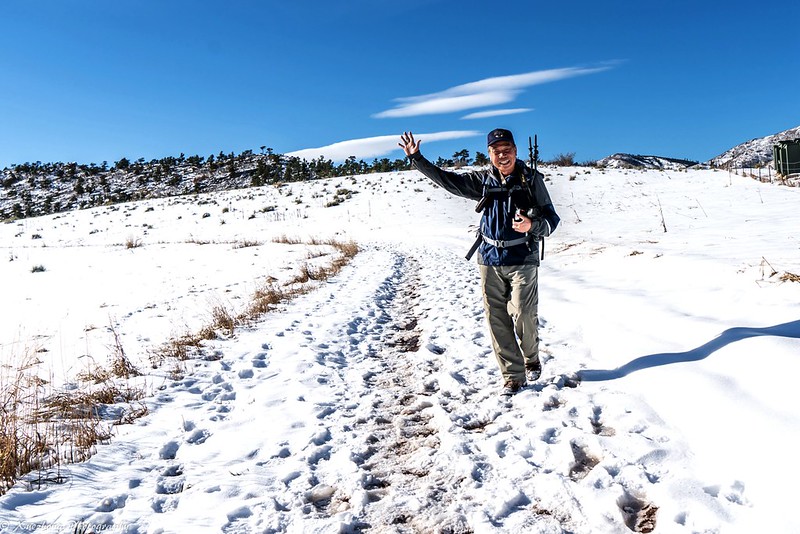
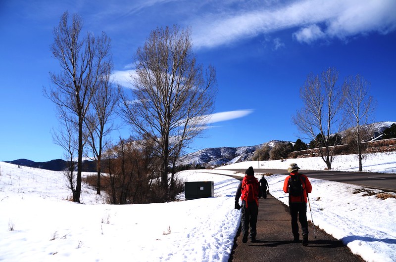
Coyote Song Trailhead
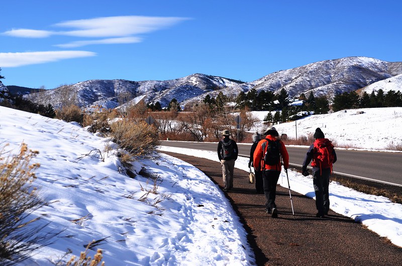
今天登山隊本來預定前往Deer Creek Canyon Park走Plymouth Creek trail,抵達公園時才知因前幾天下雪公園封閉,改往鄰近South Valley Park走一條簡易的步道!
----------------------------------------------------------------------------------------------------
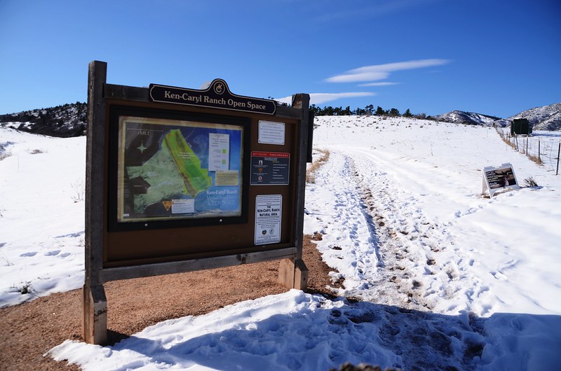
登山步道:Coyote Song Trail Loop
登山口:South Valley Park South Trailhead,海拔5,709呎/1,740公尺
登山里程:4.6哩/7.4公里
總爬升高度:741呎/226公尺
登山時間:2小時30分
----------------------------------------------------------------------------------------------------
行車資訊:
由Golden沿CO-470 E往Colorado Springs南行,行約12哩後從Kipling Pkwy出口下交流道,下交流道後右轉沿S Kipling Pkwy南行約420呎隨即向右轉沿W Ute Ave西行,行約0.6哩後從W Ute Ave靠左行駛,進入S Owens St,0.2哩後接著走W Deer Creek Canyon Rd一路西南行,行約1.1哩抵達South Valley Park South Trailhead,登山口在道路右側。
步程簡述:
08:45 從South Valley Park South Trailhead沿著Coyote Song Trail朝北出發,海拔5,709呎/1,740公尺;
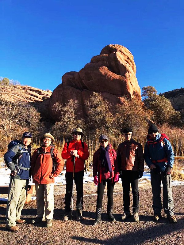
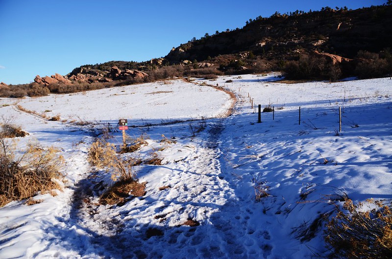
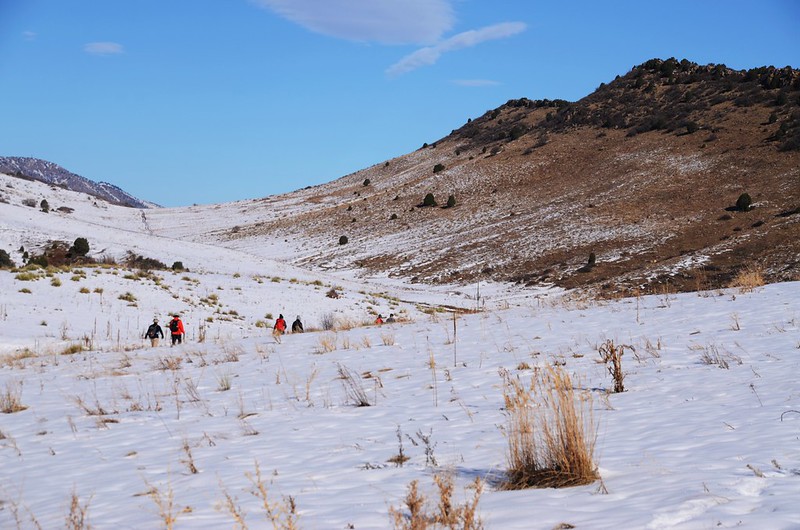
Coyote Song Trailhead
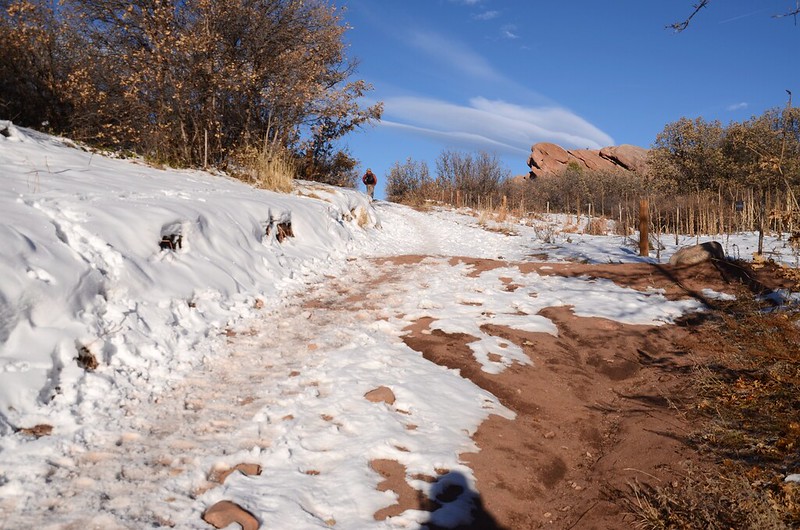
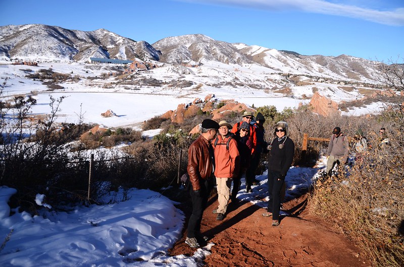
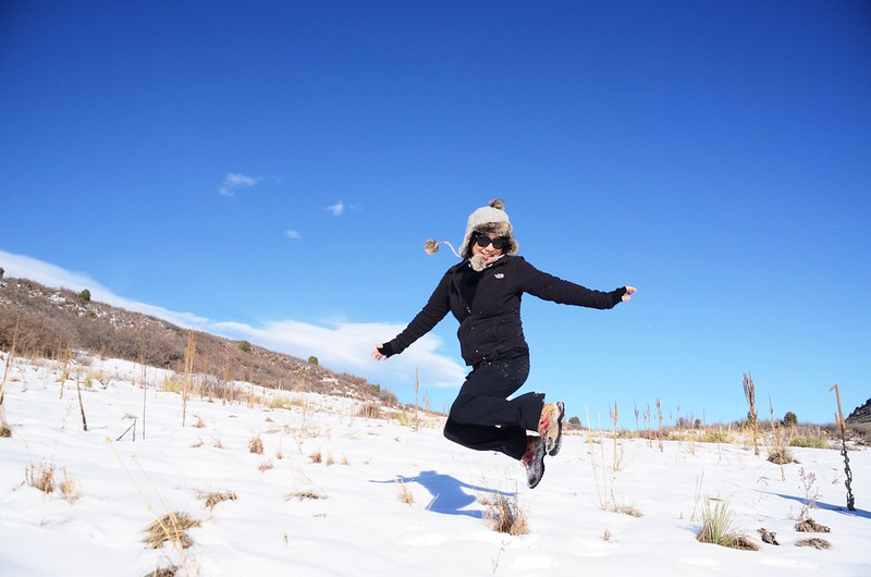
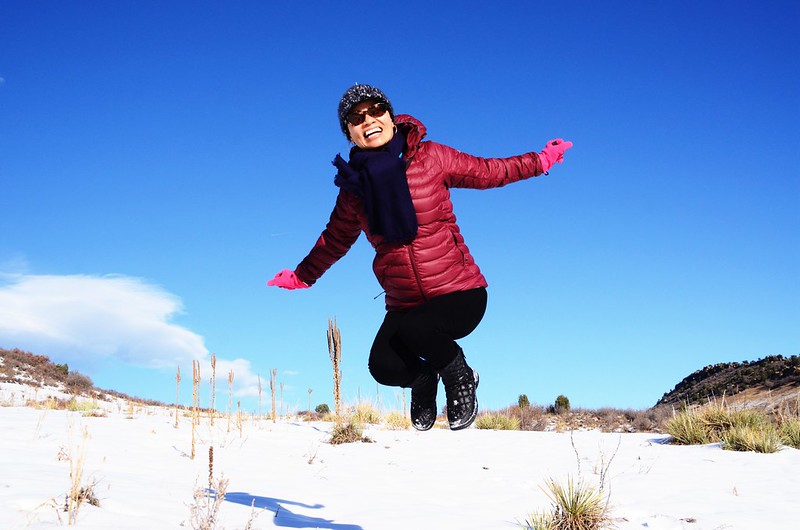
登山步道寬敞緩平,但因自上週六夜晚起連下了三天的雪,步道積雪未融,所以還是小心行走以防滑倒。
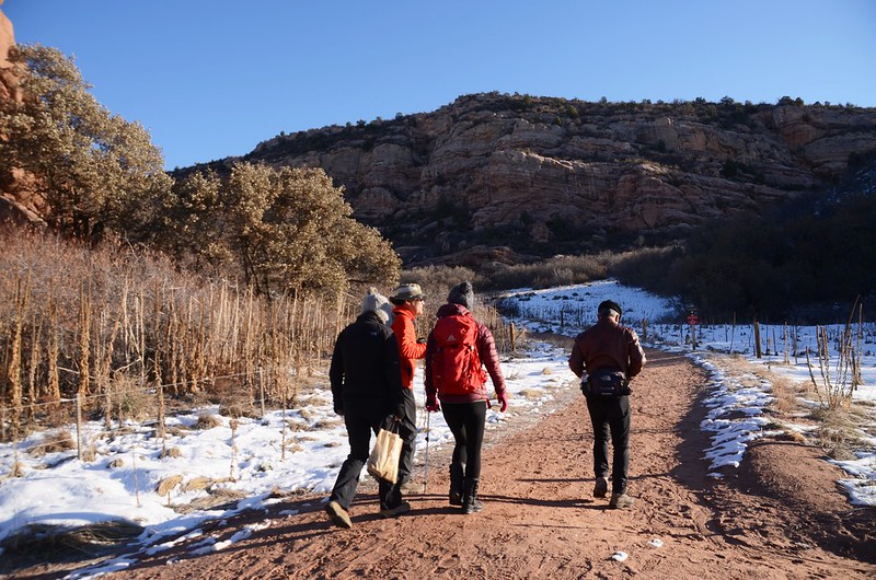
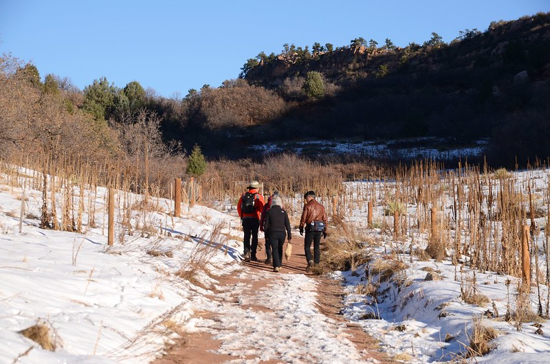
Coyote Song Trail
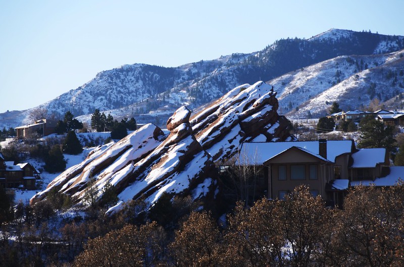
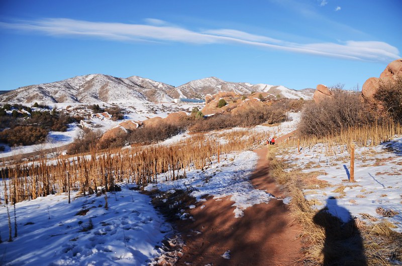
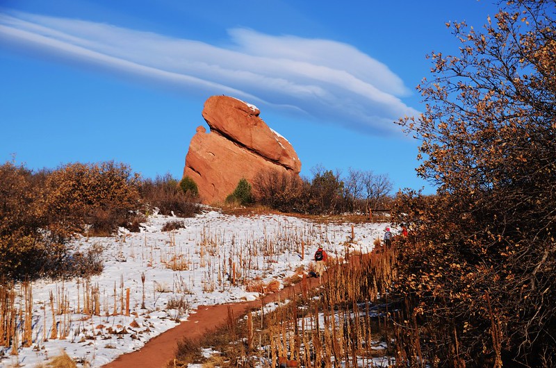
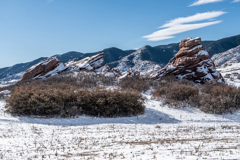
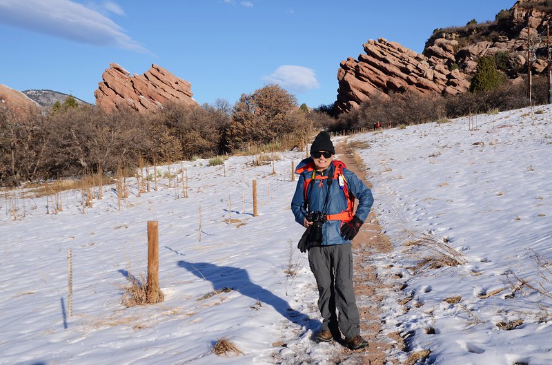
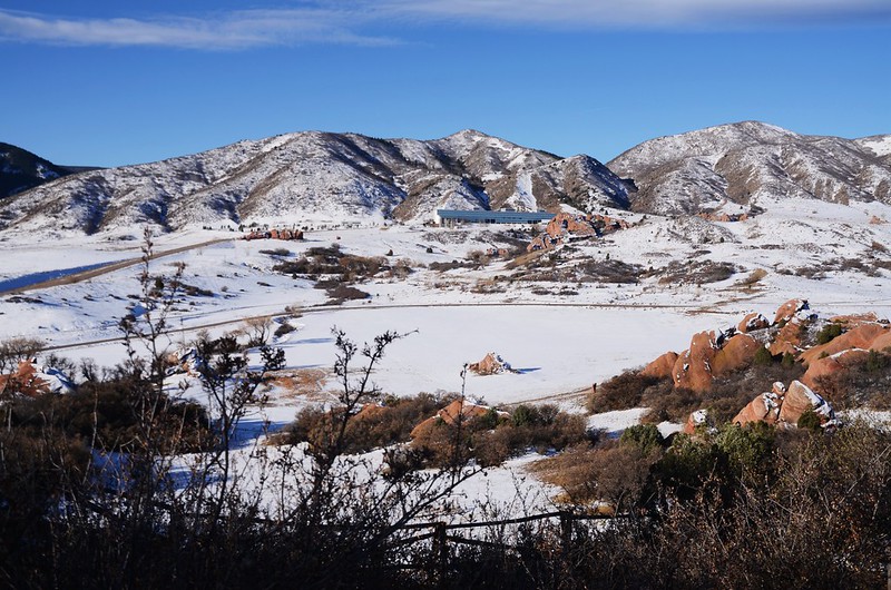
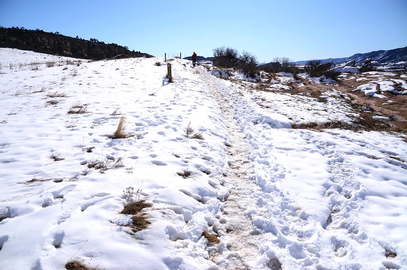
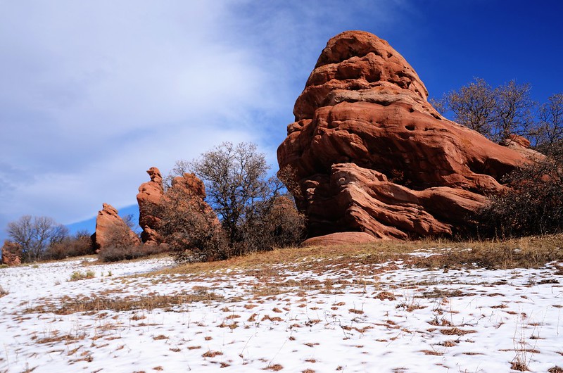
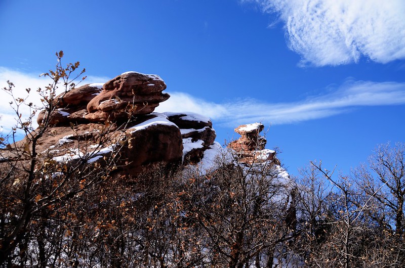
South Valley Park裡分布著大小不一的紅色砂岩,這種砂岩同樣出現在猶他州、科羅拉多州,在丹佛附近出現最壯觀的是Garden of the Gods和Red Rocks Park,這裡的紅色砂岩跟上述兩處比起來算是小巫見大巫,但也蠻有可看性的。


Coyote Song Trail

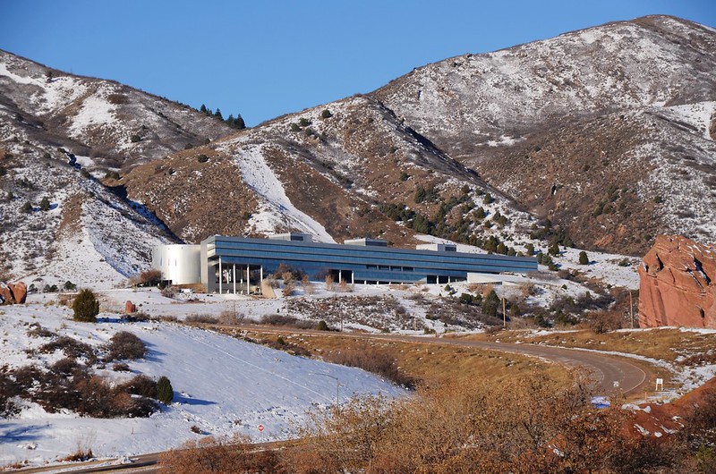
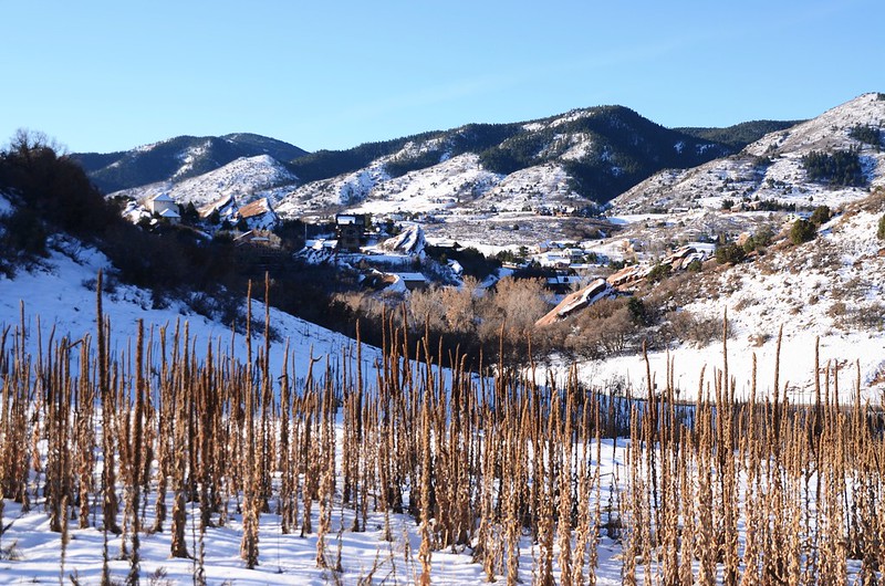
Looking west at Lockheed Martin Corporation from Coyote Song Trail
Coyote Song Trail
Looking west at Lockheed Martin Corporation from Coyote Song Trail
09:00 抵達Coyote Song Trail 、Prairie Falcon Trail岔路,海拔5,856呎/1,785公尺,距登山口0.4哩;
Coyote Song Trail 、Prairie Falcon Trail junction
左岔為Prairie Falcon Trail,右岔直行為Coyote Song Trail,取右直行。


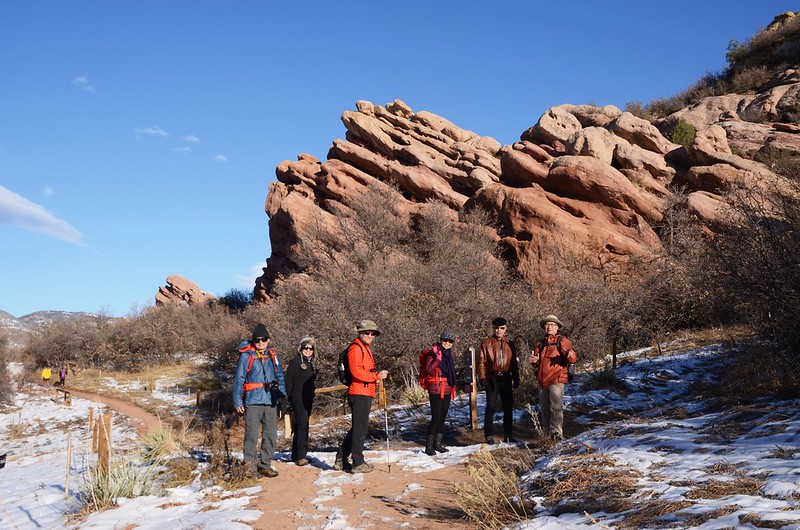
Coyote Song Trail
Coyote Song Trail 、Prairie Falcon Trail junction
左岔為Prairie Falcon Trail,右岔直行為Coyote Song Trail,取右直行。
Coyote Song Trail
09:13 抵達Coyote Song Trail 、Lyons Back Trail 岔路,海拔5,942呎/1,811公尺,距登山口0.8哩;
Coyote Song Trail 、Lyons Back Trail junction
左岔直行為Coyote Song Trail,右岔上山為Lyons Back Trail,取右岔Lyons Back Trail上山。
Coyote Song Trail 、Lyons Back Trail junction
左岔直行為Coyote Song Trail,右岔上山為Lyons Back Trail,取右岔Lyons Back Trail上山。
09:15 抵稜線下一制高點,有良好的展望,海拔5,974呎/1,821公尺,距登山口0.87哩。
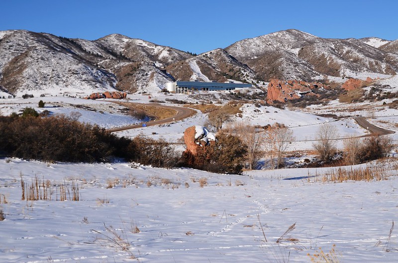
Looking west at Lockheed Martin Corporation from Lyons Back Trail

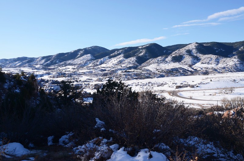
Lyons Back Trail
Looking west at Lockheed Martin Corporation from Lyons Back Trail
Lyons Back Trail
09:24 抵一”T”字步道Columbine Trail,海拔6,030呎/1,838公尺,距登山口1.06哩;左右岔均為Columbine Trail,我們在此取直下切斜坡下玩雪。


Columbine Trail
Columbine Trail
09:38 接回Columbine Trail,海拔6,033呎/1,839公尺,距登山口1.24哩;取右轉朝西北續行。


Columbine Trail
Columbine Trail
09:56 抵Columbine Trail、Cathy Johnson Trail岔路,海拔6,014呎/1,833公尺,距登山口1.74哩;


Columbine Trail、Cathy Johnson Trail junction
取左岔沿Cathy Johnson Trail 朝西北續行。


Cathy Johnson Trail
Columbine Trail、Cathy Johnson Trail junction
取左岔沿Cathy Johnson Trail 朝西北續行。
Cathy Johnson Trail
10:12 抵達Cathy Johnson Trailhead,海拔5,945呎/1,812公尺,距登山口2.36哩;
Cathy Johnson Trailhead
再往東北行一小段路即接到South Valley Road。
Cathy Johnson Trailhead
再往東北行一小段路即接到South Valley Road。
10:14 接到South Valley Road,此處為Cathy Johnson Trail、Valley View Trail 的岔路,取左沿South Valley Road旁的Valley View Trail西南行。
Valley View Trail
Valley View Trail
10:29 抵達Valley View Trail、Coyote Song Trail 岔路,海拔6,040呎/1,841公尺,距登山口3.04哩;右岔為Valley View Trail,取左岔Coyote Song Trail朝東南行。


Coyote Song Trail
Coyote Song Trail
10:54 返抵Coyote Song Trail 、Lyons Back Trail岔路,取右岔Coyote Song Trail朝東南行回登山口。


Coyote Song Trail
Coyote Song Trail
11:15 返抵South Valley Park South Trailhead,結束今天的行程。
沒有留言:
張貼留言