
Boreas Pass summit, Continental Divide
Boreas Pass Road如從東南端的US 285 & Como (Boreas Pass) 岔路口計算到西北端Breckenridge的Main Street約21哩/33.8公里,如從小鎮Como的石子路計算到西北端Bakers Tank Trailhead石子路終止約17.2哩/27.68公里,葉子轉黃季節的確是一條賞葉、探訪古蹟的好路線!
-------------------------------------------------------------------------------------------------
Boreas Pass在 1860 年代以前稱為Breckenridge Pass,當時它是科羅拉多淘金熱期間數千名探礦者從South Park穿越高山到Breckenridge附近的Blue valley 尋找黃金的早期路線, 1866 年它被拓寬為可容納驛馬車的馬車路, 1882 年在Union Pacific Railroad(聯合太平洋鐵路公司)的Sidney Dillon指導下,丹佛(Denver)、南方公園(South Park)和太平洋鐵路公司(Pacific Railroad當時由聯合太平洋公司控制)開始在通道上鋪設窄軌鐵路,Sidney Dillon將其更名為Boreas(古希臘的北風之神)。
這條窄軌鐵路線路是從丹佛到南方公園(South Park)的公司主幹線上通往Breckenridge(最終延伸到Leadville)的支線,在線路交匯處的Como建造了一個現在仍然存在的Roundhouse(圓形火車機車庫);Pass上的鐵路線是一項重大的工程壯舉,主要是因為高海拔地區的冬季積雪,建成後,沿途有數十個雪棚(snow sheds),許多地方的坡度接近4%;當初在山頂建造了一座小鎮Boreas,主要是為了安置冬天清理線路的工人,現在已成了一座ghost town(廢墟),這條線路於 1937 年Colorado & Southern 已放棄所有經營權,二戰後由陸軍工程兵團重建成為今天的汽車通行路線-- Boreas Pass Road。
-------------------------------------------------------------------------------------------------
車程簡述:
US 285 Hwy南行,經過Kenosha Pass再行11哩後於US 285哩程192.2 mile處右轉Boreas Pass Rd(CR 33)往Como西北行,座標N39.31061° W105.88634°,海拔9,725呎/2,964公尺;此後路段即是Boreas Pass,里程由此歸零累計。
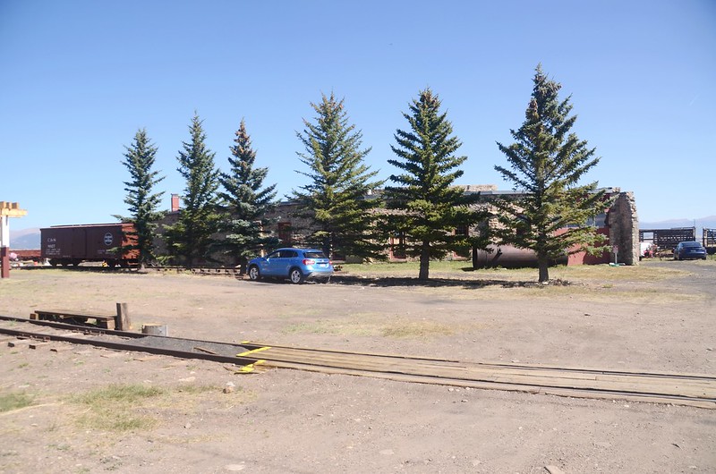
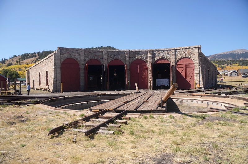
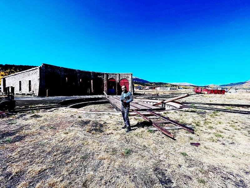
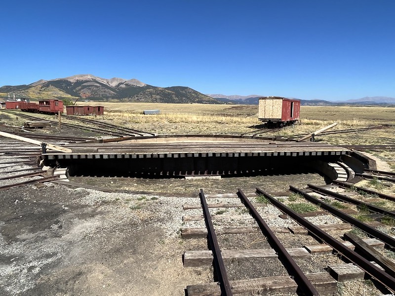
11:08 行約0.6哩/0.96公里抵達小鎮Como,剛進小鎮路右即是所謂的Roundhouse (圓房--圓形火車機車庫,座標N39.31598° W105.89093°,海拔9,795呎/2,986公尺。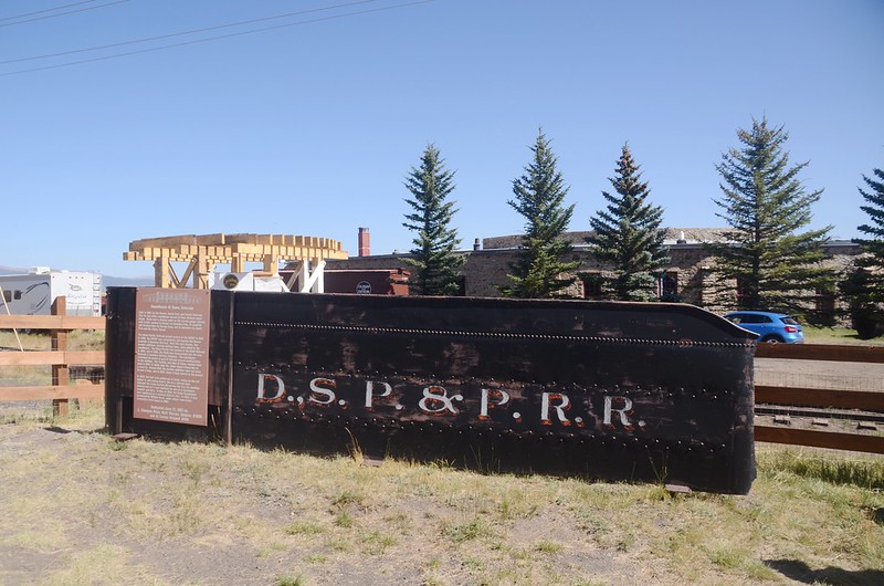
Como Railroad Roundhouse
Roundhouse(圓房)
圓形火車機車庫是鐵路使用的圓形或半圓形建築,用於維修和存放機車,通常圍繞或靠近轉盤;早期的蒸汽機車通常只能向前行駛,雖然很快就發明了蒸汽機車的倒車機制,蒸氣機車的控制仍然以向前行駛為主,因此設計為圍繞轉盤輻射的圓房用於鐵路機車和其他鐵道車輛可以在回程時掉頭,以及維修和存放這些機車。
Como Railroad Roundhouse
參觀Roundhouse後再到Como參觀一些老建築後續往Breckenridge西北行。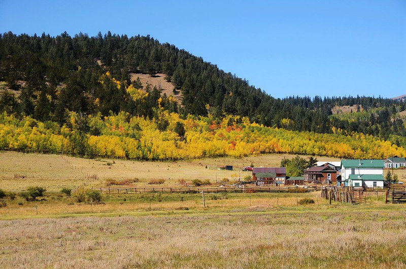
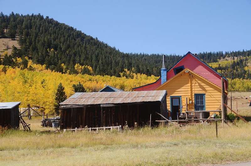

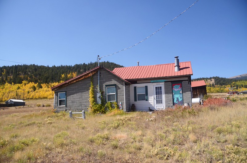
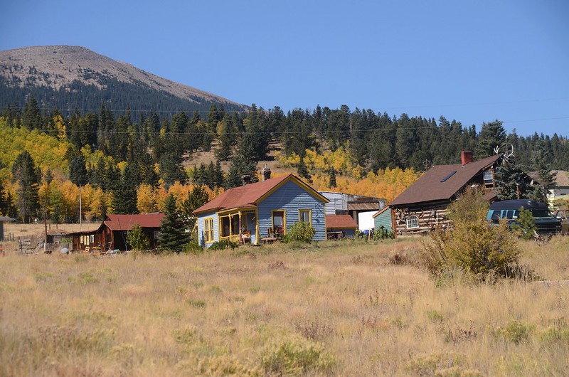
Town of Como
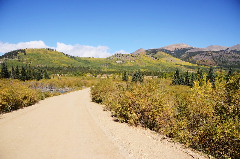
11:10 路面轉為石子路面通往Breckenridge的Boreas Pass,距US 285 岔路0.9哩/1.45公里;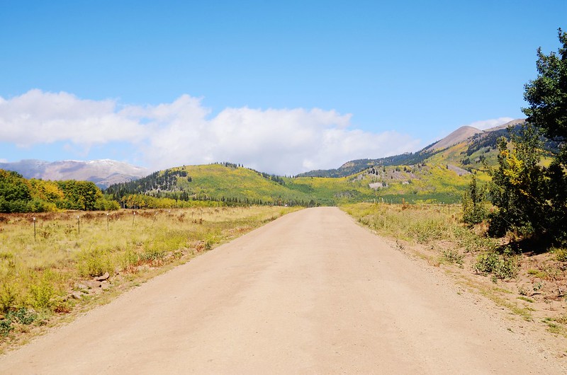
Heading out 0n County Road 33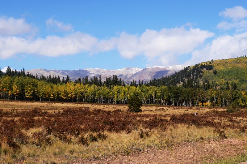
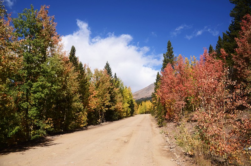
Boreas Pass Road
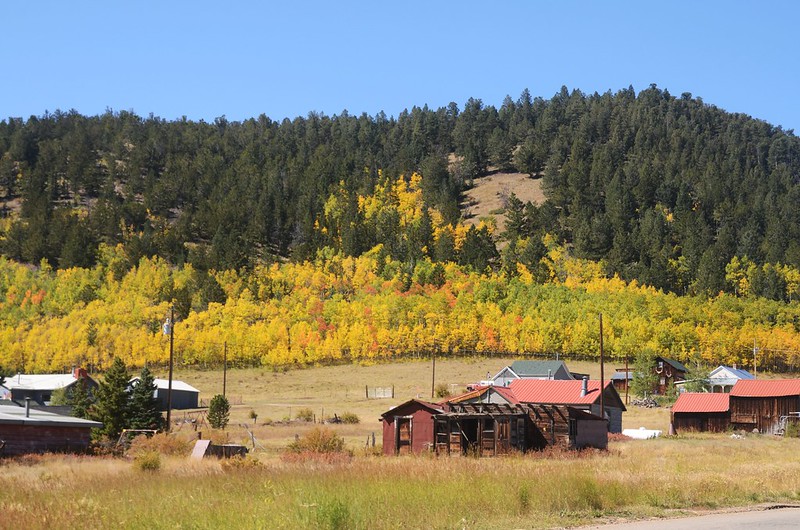
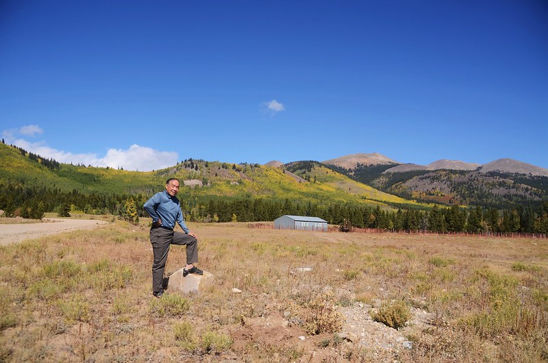
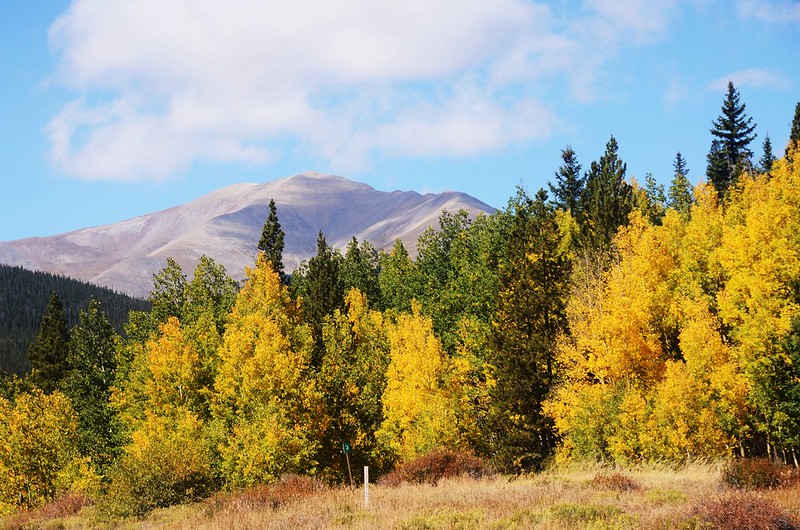
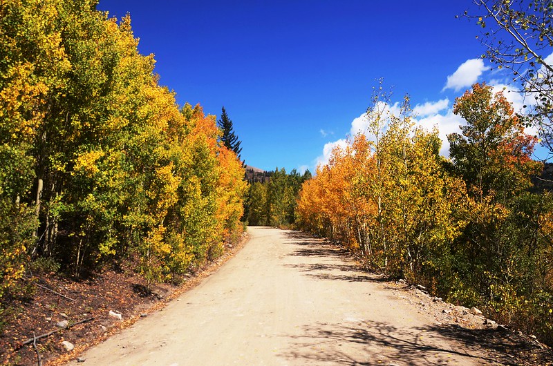
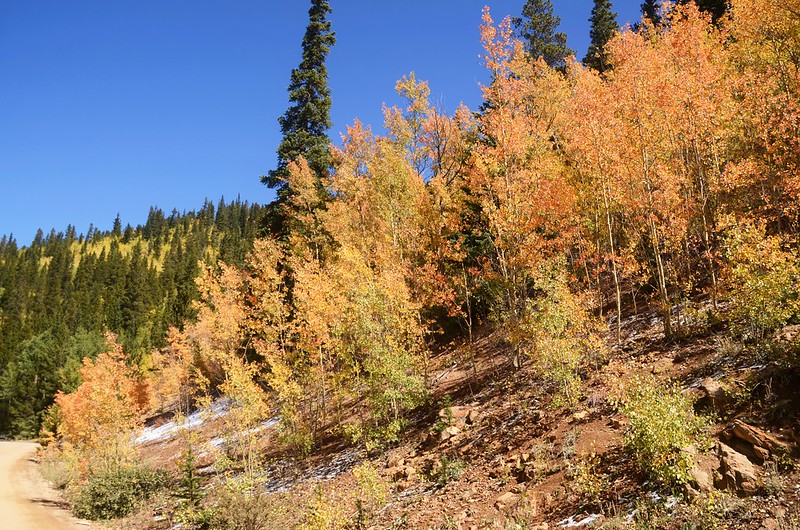
沿途白楊木(aspen)葉子已轉黃,滿山遍也金黃一片,煞是壯觀。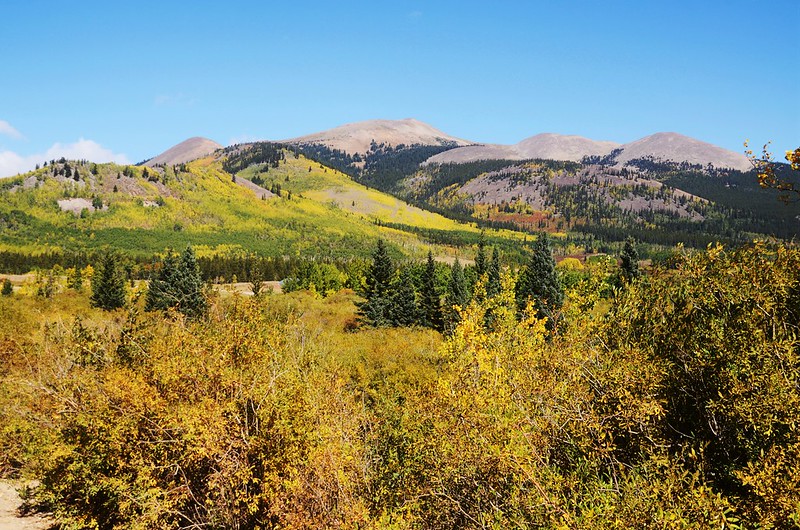

Taken from Boreas Pass Road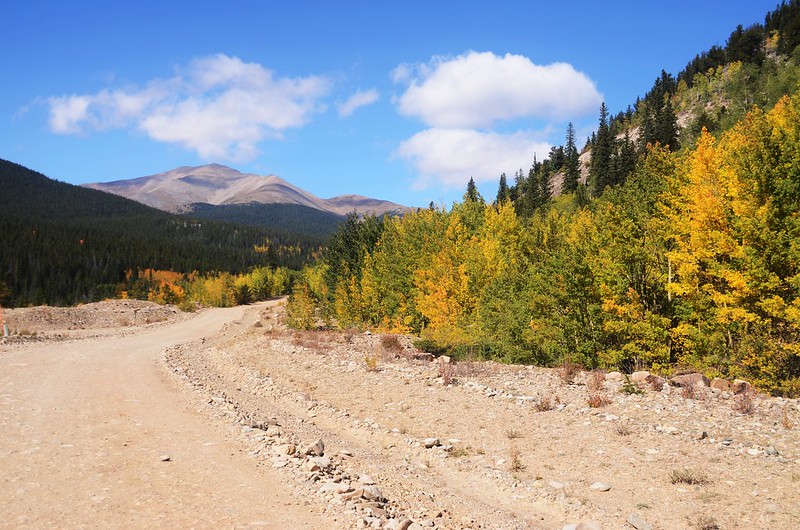
Looking west at Mount Sillverheels from Boreas Pass Road
Looking northwest at Mountains from Boreas Pass Road
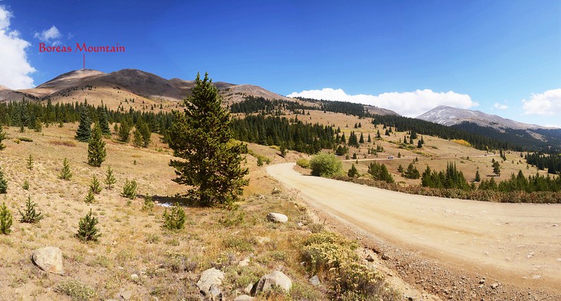
11:33 抵Boreas Pass & Forest Road 50岔路,座標N39.34632° W105.93091°,海拔10,104呎/3,080公尺,距US 285岔路3.9哩/6.28公里;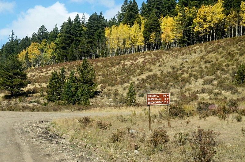
Boreas Pass & Forest Road 50 junction
取右急轉彎沿Boreas Pass Rd(CR 33)續行,行不遠路右有一面“Caution, Steep Narrow Road, Next 1 Mile”的告示牌,路面轉為狹窄微陡爬升。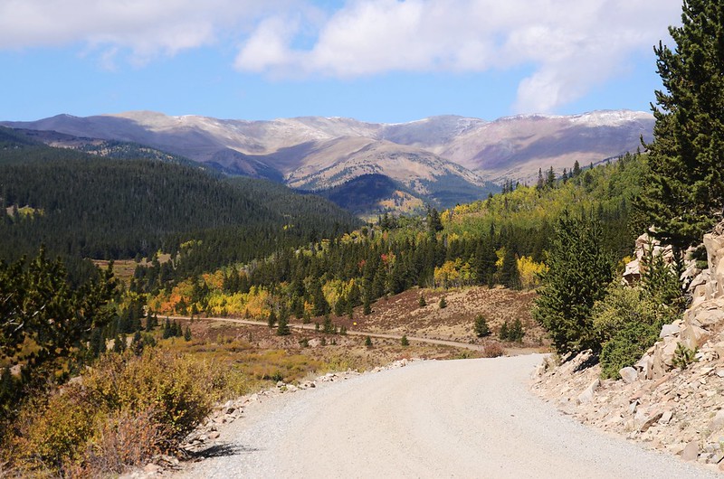
Boreas Pass Road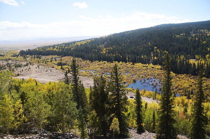
Gorgeous views into Park County

Boreas Pass Road
12:04 抵達路左一處往Rocky Point 的登山步道,座標N39.35970° W105.93516°,海拔10,614呎/3,235公尺,距US 285岔路6.7哩/10.78公里;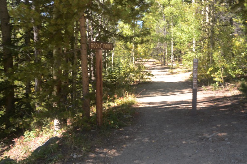
Rocky Point Trailhead
登山口停車後沿步道西行約一百多公尺抵一處展望點,座標N39.36022° W105.93684°,海拔10,628呎/3,239公尺;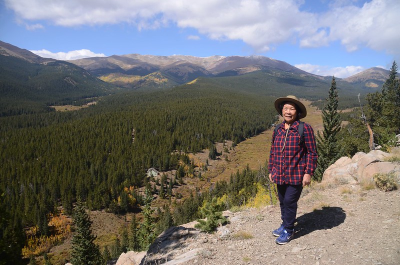
Rocky Point
此處有一小截早期窄軌鐵路的鐵軌;
Rocky Point Trail Narrow gauge Railroad ruins
在展望點俯瞰North Tarryall Creek河谷及西邊幾座高山後回到停車處續行。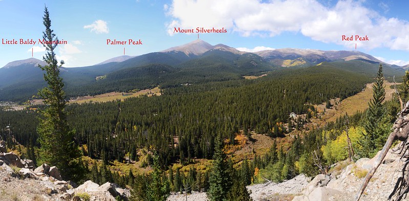
View to west from Rocky Point
12:18 由Rocky Point Trailhead沿Boreas Pass Rd(CR 33)續往Breckenridge西北行。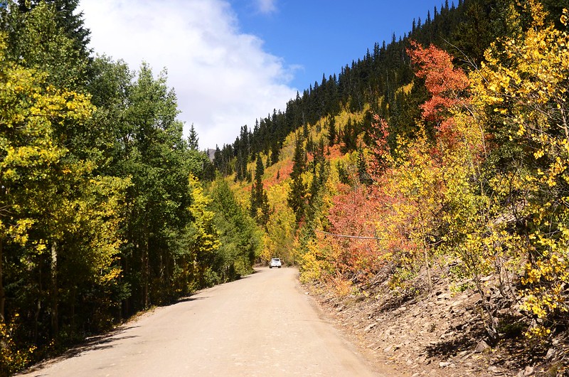
Boreas Pass Road
12:29 抵Boreas Pass Rd & North Tarryall Creek 岔路,座標N39.36785° W105.93955°,海拔10,724呎/3,269公尺,距US 285岔路7.6哩/12.23公里;左岔下往North Tarryall Creek不取,取右沿Boreas Pass Rd續行。
Taken from Boreas Pass Road

Boreas Pass Road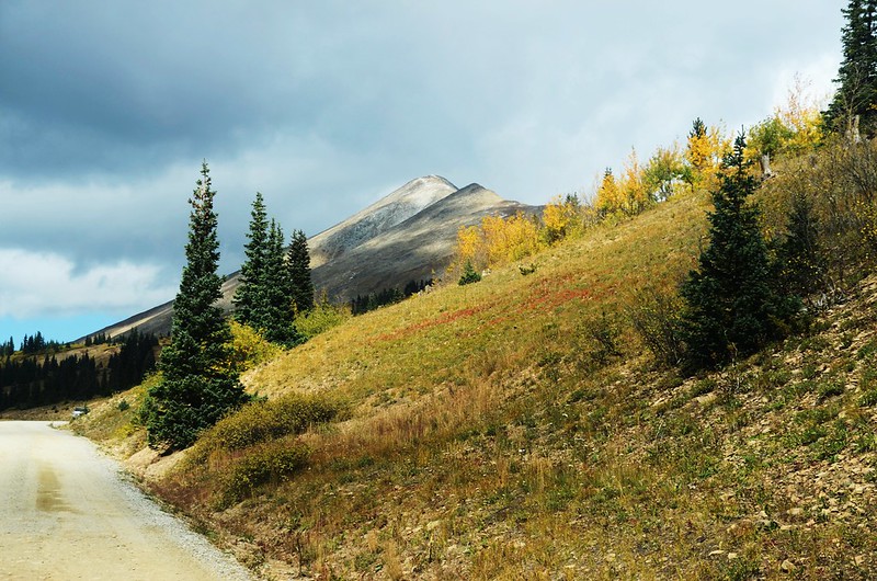
Boreas Pass Road
13:10 抵達Boreas Pass summit,此處也是大西洋水系與太平洋水系的大陸分水嶺(Continental Divide),座標N39.41031° W105.96850°,海拔11,482呎/3,500公尺,距US 285岔路11.6哩/18.67公里。
Boreas Pass summit, Continental Divide
Boreas Pass Section House
Boreas Pass Section House
在Boreas Pass summit有幾棟木造建築稱之為Boreas Pass Section House, Boreas Pass Section House建於 1882 年,當年這些建築物是為了提供鐵路人員及其家人居住,他們負責照顧丹佛南部公園和太平洋窄軌鐵路(Denver South Park & Pacific narrow gauge railway)的一部分,該鐵路從丹佛穿過 Boreas Pass 到 Leadville;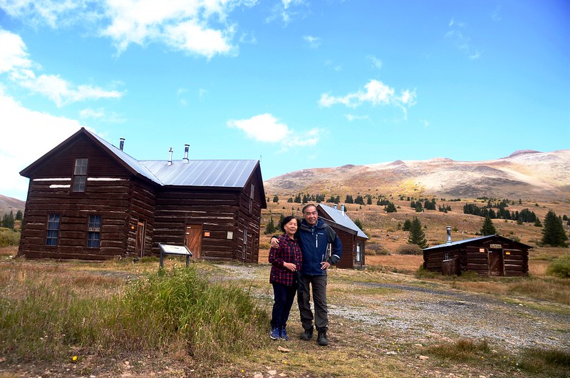

Boreas Pass Section House
在 Section House 旁邊是 Ken's Cabin,也被稱為歷史悠久的 Wagon Cabin,建於 1860 年代,當時 Boreas Pass Road 只是橫跨大陸分水嶺的馬車小徑。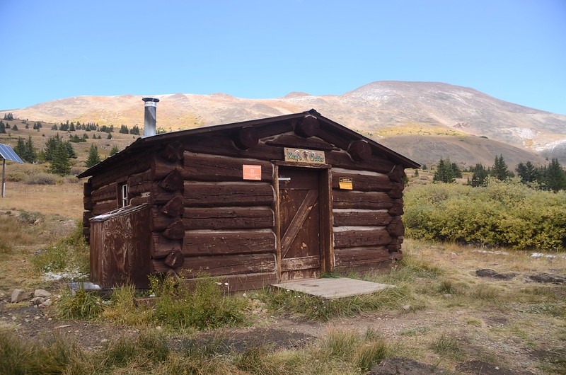
Ken's Cabin
這些被列入國家史蹟名錄的歷史建築在 1992-97 年間在U.S. Forest Service(美國林務局)、Park County(帕克縣)、Texas A&M University(德克薩斯農工大學)、Colorado Department of Transportation(科羅拉多州交通部)和Harris Construction(哈里斯建築公司)的資助和援助下進行了修復工程, Summit Huts Association 完成了對 Section House 和 Ken's Cabin 的升級,並獲得了特殊使用許可證,可以將這些建築出租用作冬季滑雪小屋。
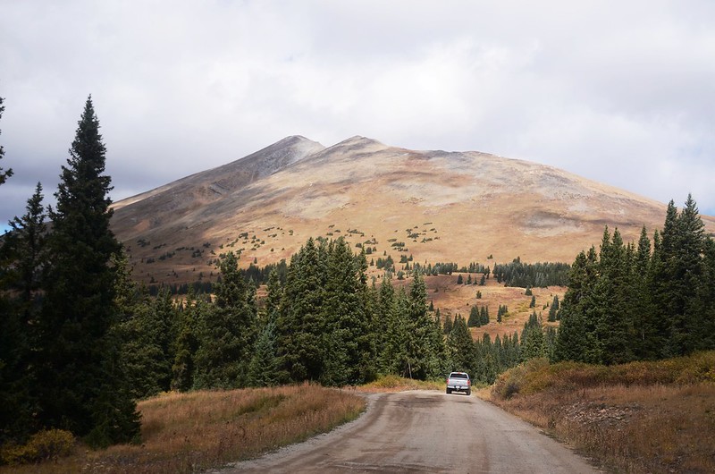
13:36 續往Breckenridge西北行,由此道路開始下坡。

View to northwest at Tenmile Range from Boreas Pass summit
Boreas Pass Road

View to northwest at Tenmile Range from near Boreas Pass summit
14:12 抵達Bakers Tank,座標N39.44363° W105.99716°,海拔10,879呎/3,316公尺,距US 285岔路15哩/24.14公里;
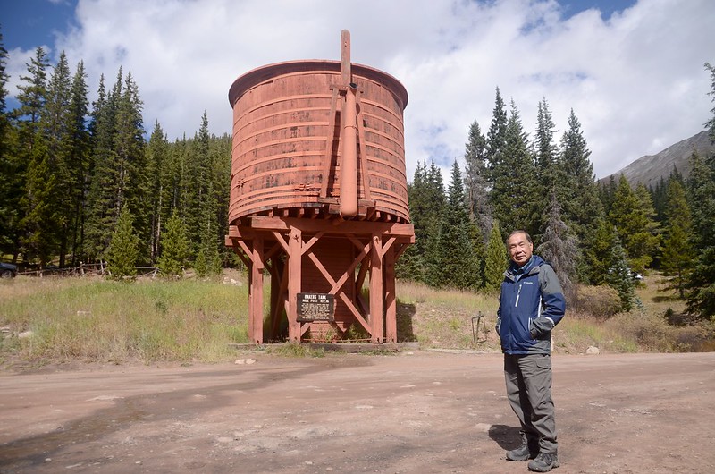
Baker Tank (restored in 1958)
Bakers Tank
這是一個經過修復的鐵路水箱,1884年至1937年間,The Denver, South Park and Pacific narrow gauge R. R. (後來的Later the Colorado and Southern科羅拉多和南方線)的機車使用該水箱為穿過這條線的蒸汽機車的鍋爐加水。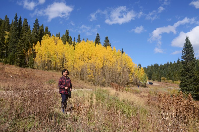
Taken from Boreas Pass Road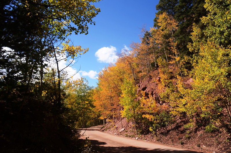

Boreas Pass Road
14:55 抵一處Rock Cut展望點,座標N39.45965° W106.02574°,海拔10,431呎/3,179公尺,距US 285岔路17.7哩/28.49公里;此點展望極佳,俯瞰滑雪度假勝地Breckenridge,西望Tenmile Range多座高山。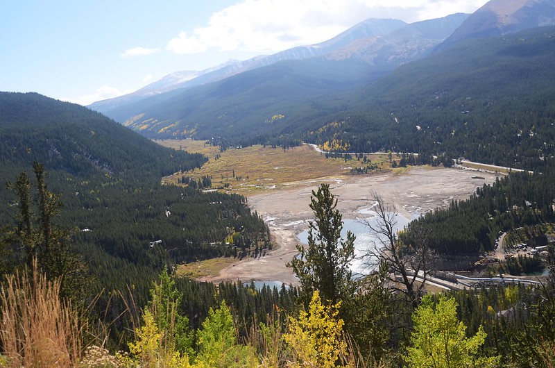
Looking down Blue valley from Rock Cut Viewpoint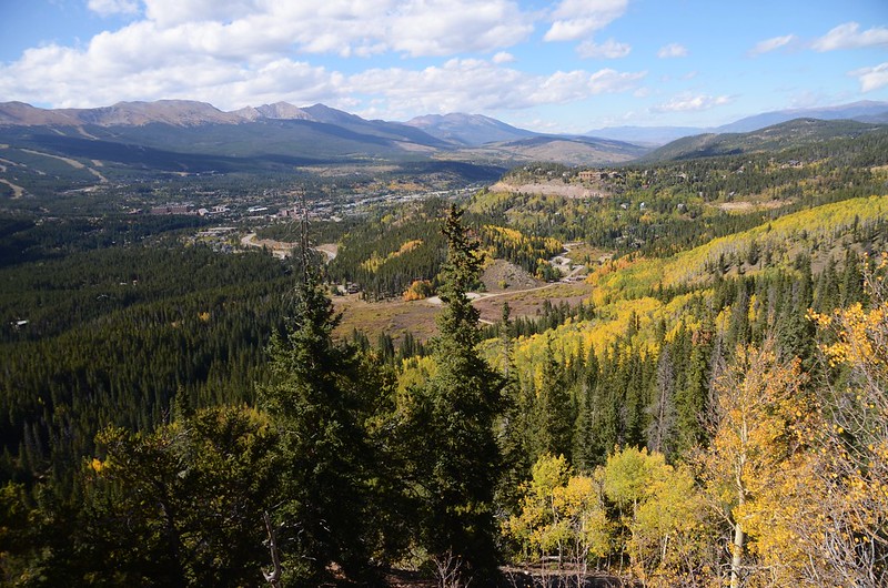

Looking down at Breckenridge from Rock Cut Viewpoint
View to northwest at Tenmile Range from Rock Cut Viewpoint
15:05 抵一處鐵柵門處,此柵門可能是Boreas Pass Road雪祭封閉時使用;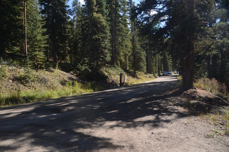
Boreas Pass Road
過鐵柵門隨即遇一左岔路--County Rd 530,座標N39.46255° W106.02166°,海拔10,383呎/3,165公尺,距US 285岔路18.1哩/29.13公里;左岔County Rd 530不取,取右續行下山。
15:07 抵路右Bakers Tank Trailhead,座標N39.46272° W106.02099°,海拔10,376呎/3,163公尺;登山口有一處不小的停車場,Bakers Tank Trail可抵Bakers Tank處,單程約2.55哩/4.1公里。
過了Bakers Tank Trailhead後路面即轉為鋪設路面,沿鋪設路面一路下抵Breckenridge的Main Stree,然後右轉往Frisco接I-70 Hwy回丹佛。
Boreas Pass Road
Alltrails:Boreas Pass Road (2021.09.20)
沒有留言:
張貼留言