Blue Lake
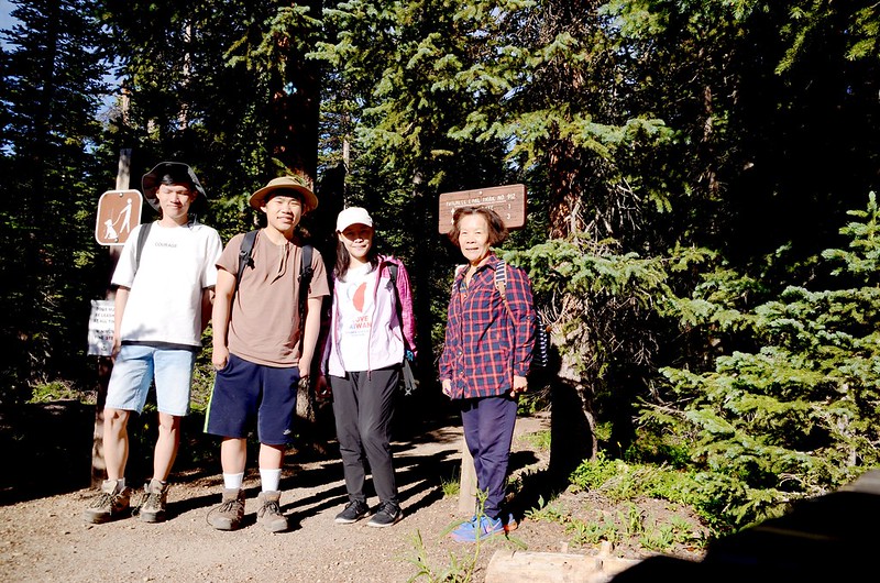
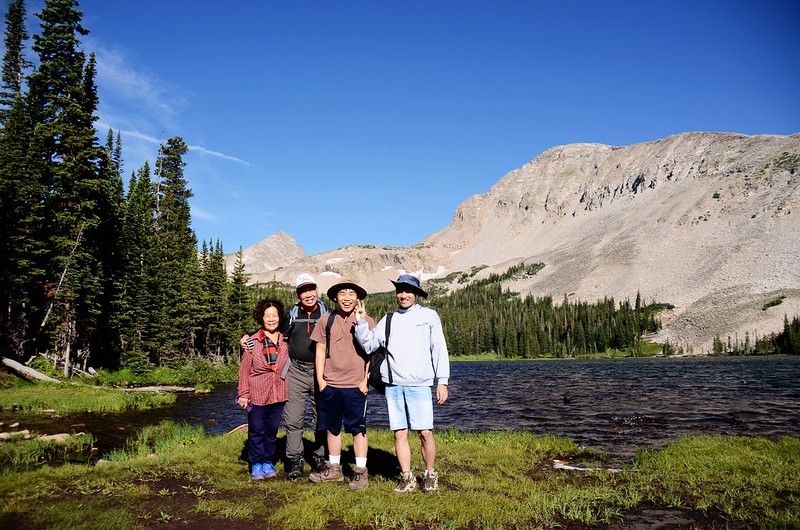
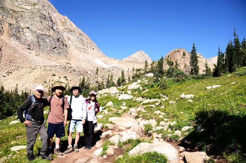
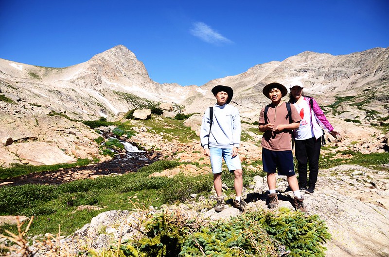
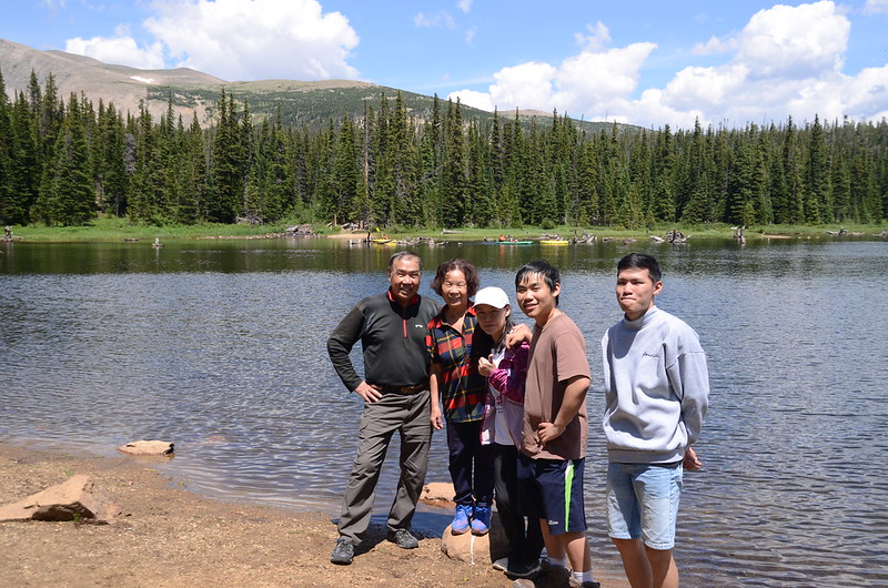
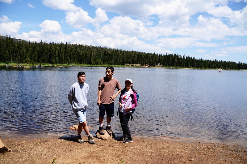
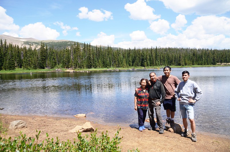
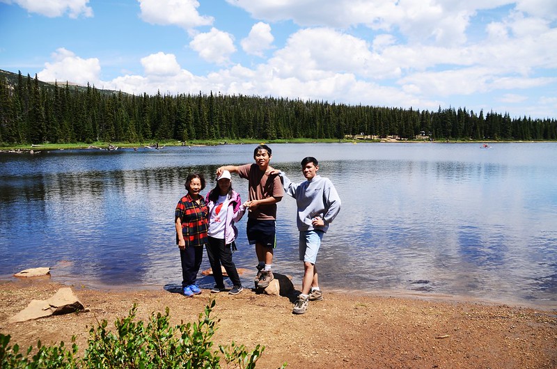
小女兒昨天由台來美相聚,今天帶她和翔翔、貝貝去爬山調時差!
攀登湖泊:
Mitchell Lake:海拔10,614呎/3,235公尺
Blue Lake:海拔11,348呎/3,459公尺
登山口:Mitchell Lake Trailhead,海拔10,500呎/3,200公尺
登山里程:上下山全程合計5.47哩/8.8公里
總爬升高度:1,273呎/388公尺
登山時間:4小時03分鐘
-----------------------------------------------------------------------------
行車資訊:
CO 72號公路(Peak To Peak)北行,經過小鎮Ward後路右就可看到一面大指示牌指向西邊標明“Brainard Lake”,順著指示牌左轉沿Brainard Lake Road行約2.6哩/4.2公里抵達收費站,驗明預約許可證後進入Recreation Area續行(我們今天申請的是Mitchell Lake Trailhead),再行約2.0哩/3.2公里抵達Brainard Lake,再行1.12哩/1.8公里抵達Mitchell Lake Trailhead停車場,座標N40° 04' 59.5" W105° 34' 52.8",海拔10,121呎/3,085公尺。
步程簡述:
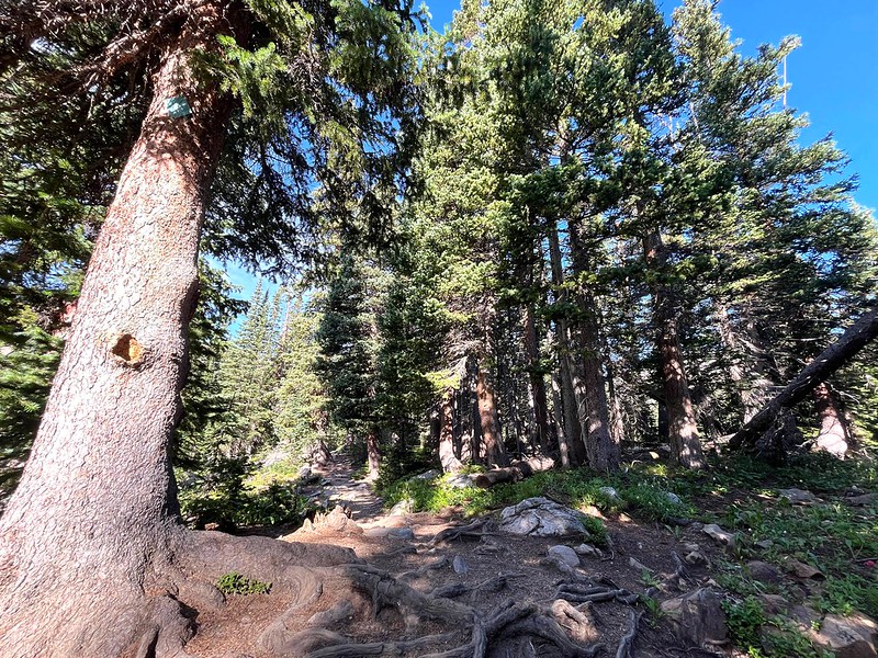
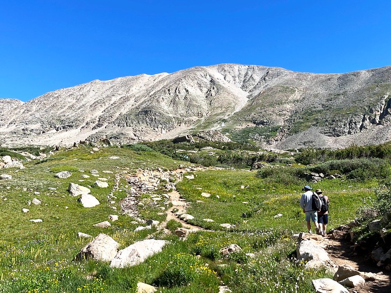
08:15 由Mitchell Lake Trail登山口起登,座標N40° 04' 59.9" W105° 34' 54.3"°,海拔10,213呎/3,113公尺;

Mitchell Lake Trailhead
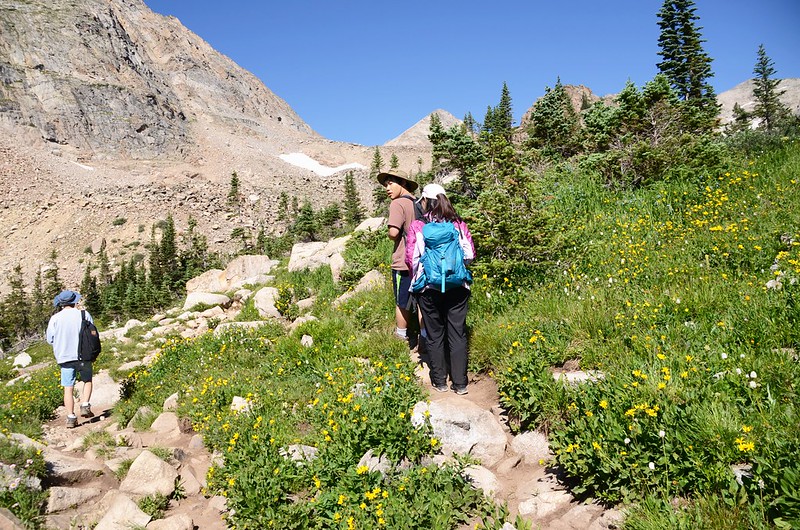
步道口標示:Mitchell Lake 1哩;Blue Lake 3哩;登山步道在雲杉、冷杉林間穿行,行來舒爽。
Blue Lake Hike (by Yi Chieh)
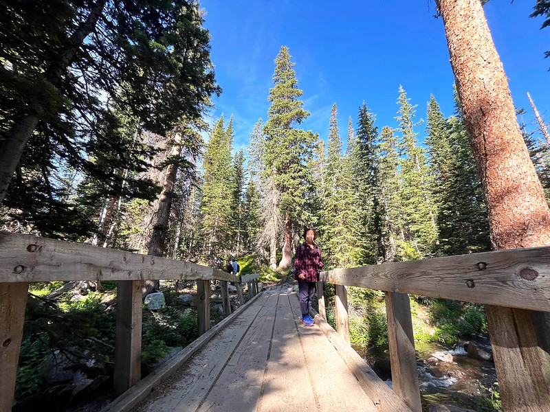
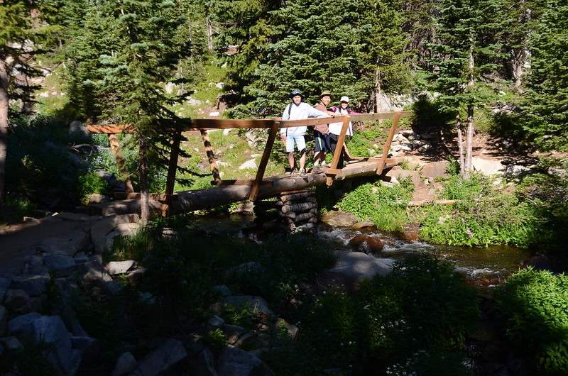
08:00 經過一座橫跨在Mitchell Creek上的木橋,座標N40° 05' 08.5" W105° 35' 18.9",海拔10,433呎/3,180公尺,距登山口0.43哩/0.7公里;
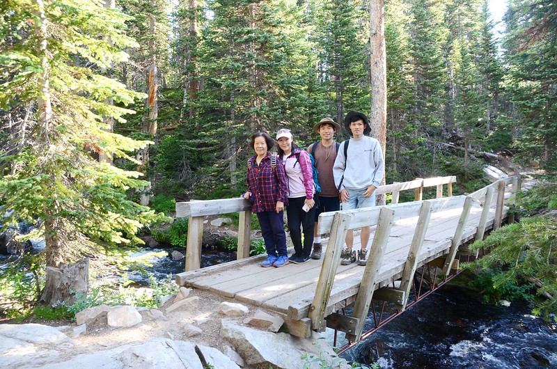
Mitchell Creek crossing by log bridge
橋下流水潺潺,點綴河邊繽紛野花,頓覺暑氣全消。
過了Mitchell Creek 隨即進入Indian Peaks Wilderness 範圍,步道仍在山林間穿行。
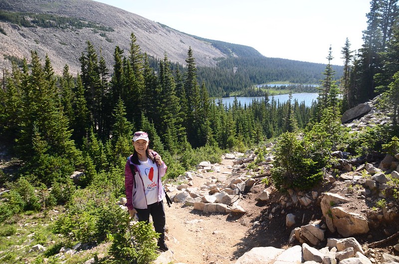
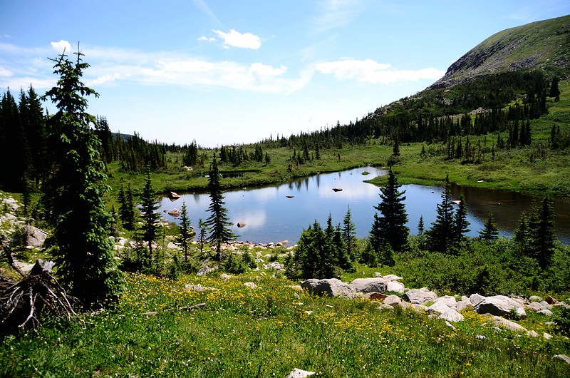
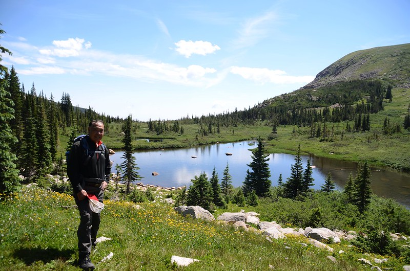
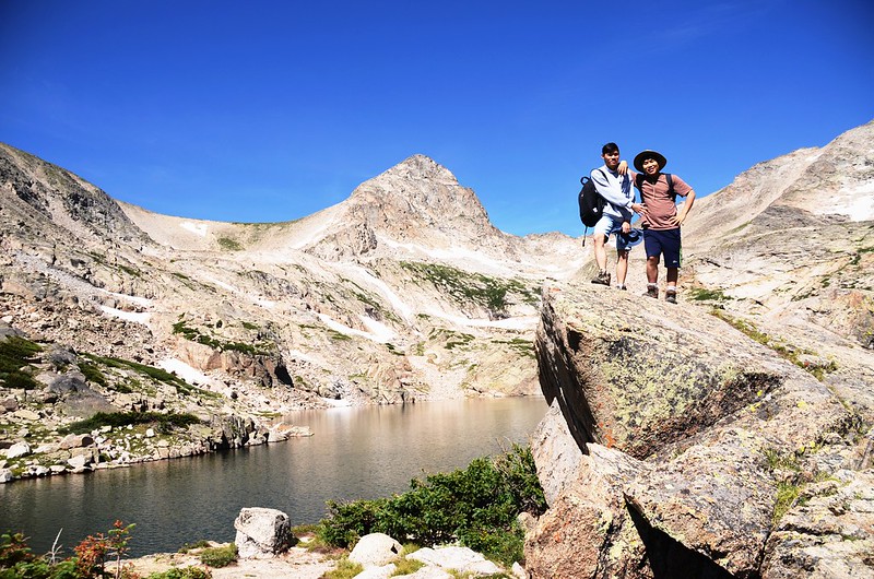
08:45 來到Mitchell Lake岔路,座標N40.08658° W105.59443°,海拔10,604呎/3,232公尺,距登山口0.87哩/1.4公里;左岔直行往Blue Lake,右岔往Mitchell Lake湖邊;先取右到Mitchell Lake湖邊賞景拍照。

Mitchell Lake
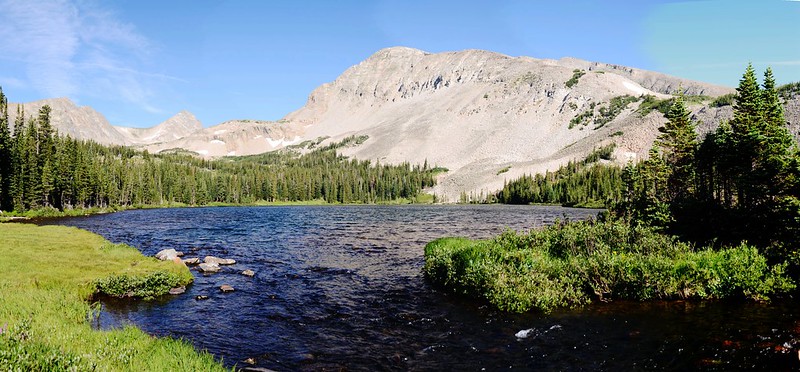
Mitchell Lake海拔10,614呎/3,235公尺, 湖的西北邊是科羅拉多的一座13ers--Mount Audubon,海拔13,221呎/4,030公尺,此山我曾三度登頂,在湖邊停留10分鐘拍完照後回到步道岔路續往Blue Lake前行。
09:04 抵達Mitchell Lake的進水口小溪,座標N40° 05' 10.0" W105° 35' 51.5",海拔10,712呎/3,265公尺,距登山口1.18哩/1.9公里;
Mitchell Lake inlet crossing by log bridge
經過進水口小溪上的木橋後來到一處亂石區;由亂石區底下穿過後步道開始朝西陡升。
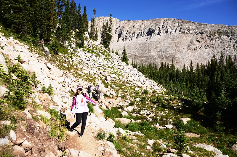
Blue Lake Trail (rocky area)
Beaver pond in the valley along Blue Lake Trail
Blue Lake Hike (by Yi Chieh)
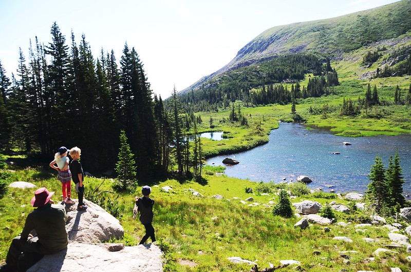
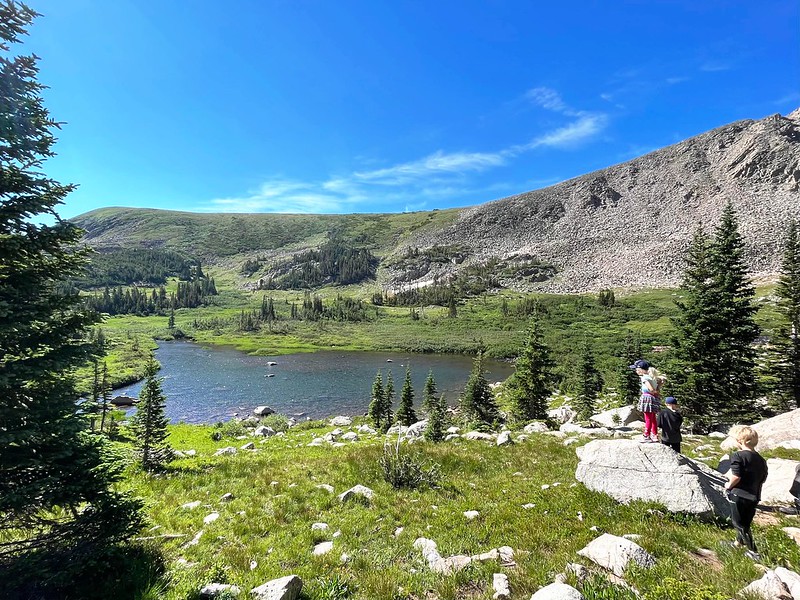
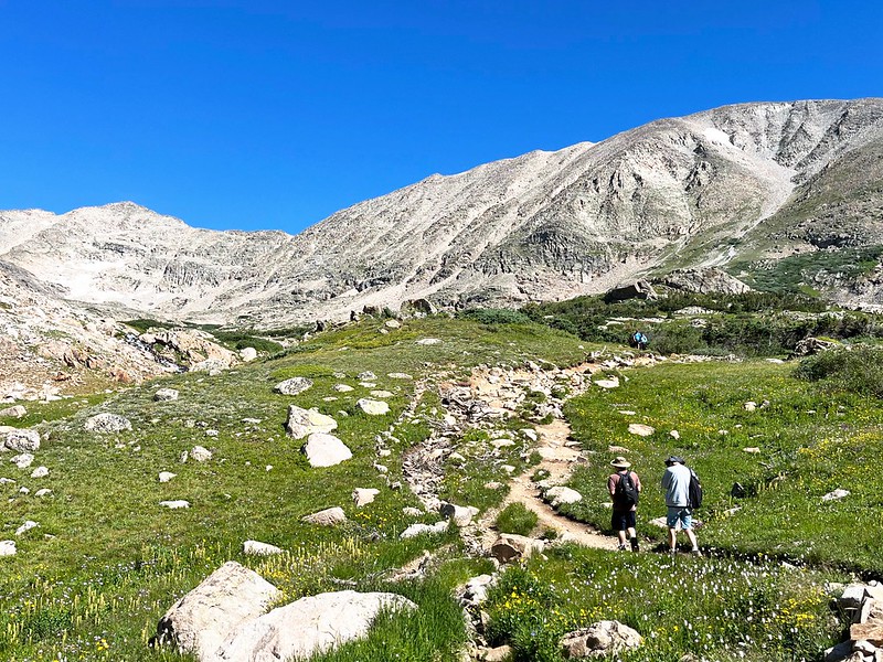
09:13 陡升步道頂端地形轉為平緩地形,座標N40° 05' 12.8" W105° 35' 59.6",海拔10,827呎/3,300公尺,距登山口1.37哩/2.2公里,在高點回頭俯瞰Mitchell Lake;
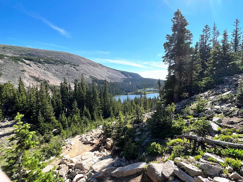
Looking back at Mitchell Lake from Blue Lake Trail
Blue Lake Hike (by Yi Chieh)
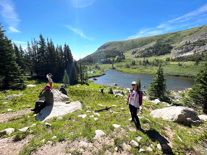
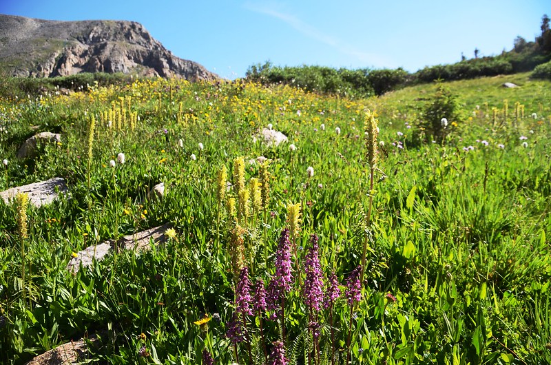
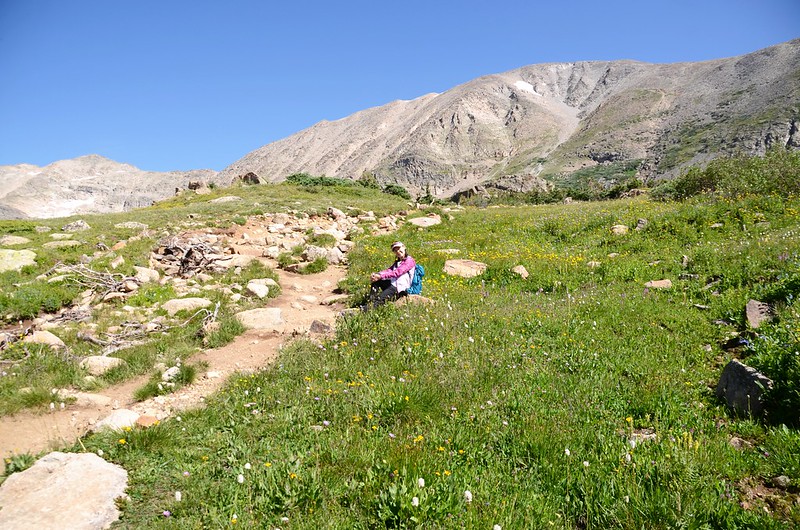
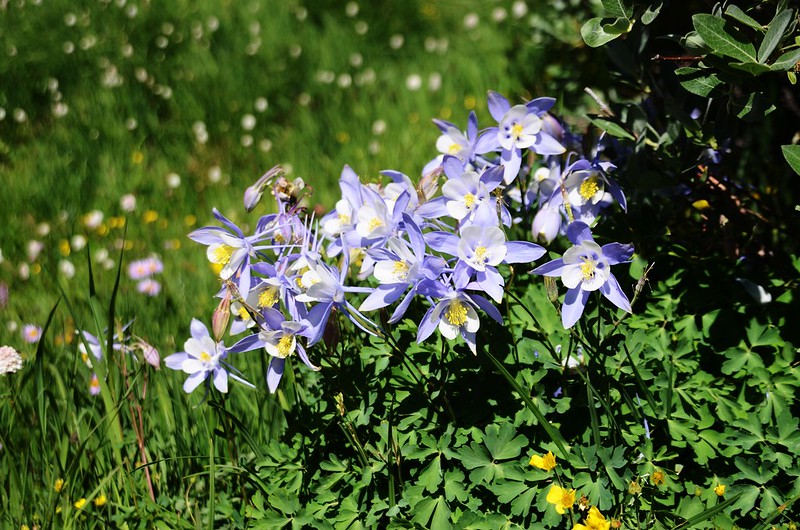
在此小休後再行,步道緩平西行,兩旁陸續出現沼澤、小湖泊,沼澤野花盛開。
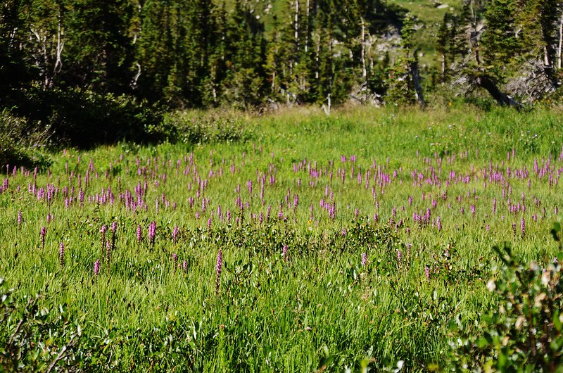

Elephant Head flower
09:20 步道又開始陡升,座標N40° 05' 13.1" W105° 36' 08.7",海拔10,846呎/3,306公尺,距登山口1.55哩/2.5公里。
09:22 再度抵達地形轉為平緩山徑,此處已進入山谷上游,座標N40° 05' 12.1" W105° 36' 12.9",海拔10,909呎/3,325公尺,距登山口1.62哩/2.6公里;

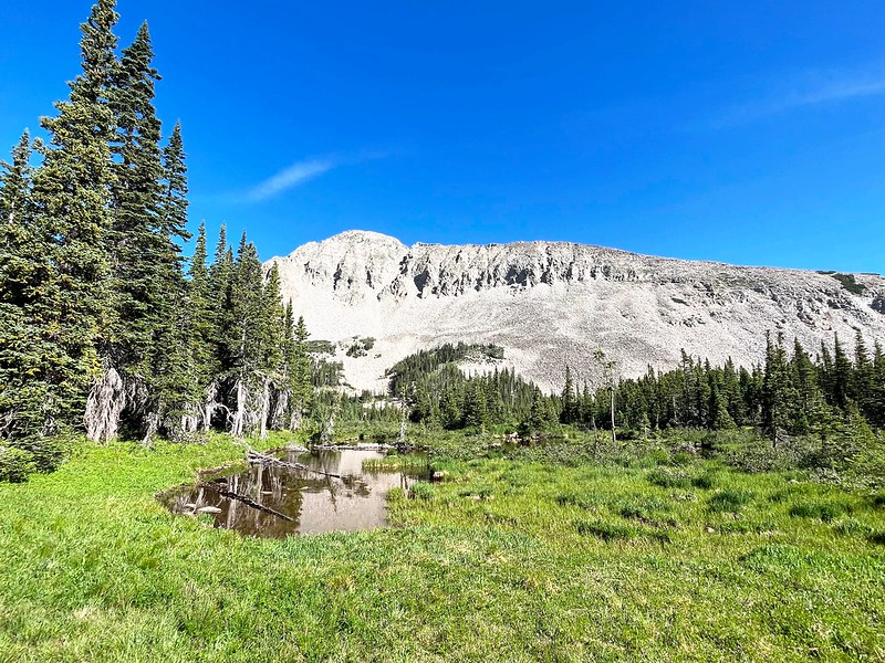
Beaver pond in the valley along Blue Lake Trail
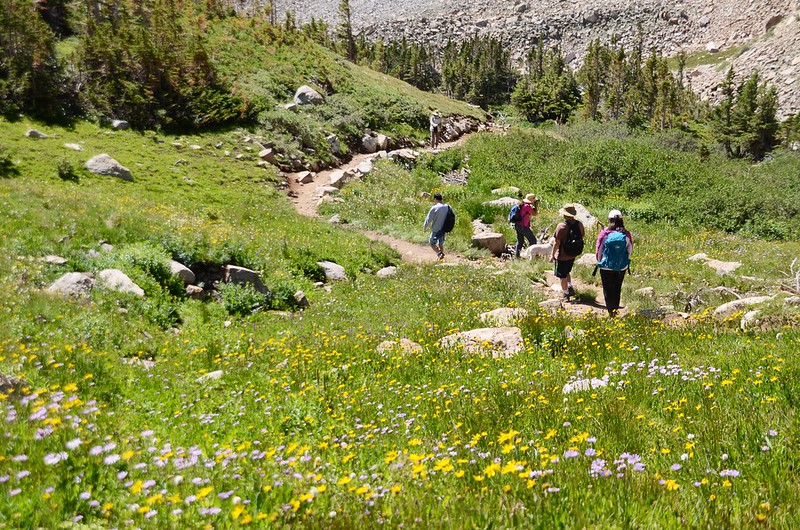
路徑旁除了沼澤區、小湖邊野花盛開外,山徑慢慢轉為多岩石地形,步道就在岩石間小徑緩坡爬升。
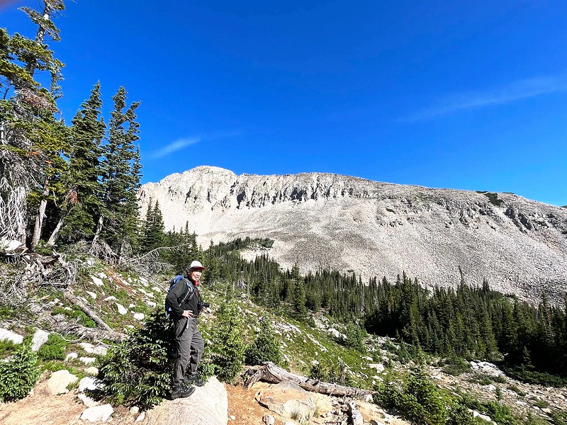
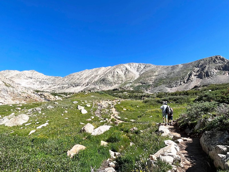
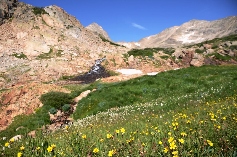
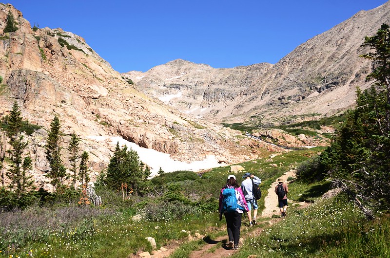
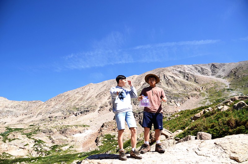
09:51 出森林線,座標N40° 05' 04.6" W105° 36' 42.8",海拔11,099呎/3,383公尺,距登山口2.24哩/3.6公里;
Beaver pond in the valley along Blue Lake Trail, Taken from just above the treeline (11,138')
山徑又轉為有點陡的陡坡朝Blue Lake爬升。
Taken from just above the treeline (11,138')
Wildflowers blooming along Blue Lake Trail

Blue Lake Hike (by Yi Chieh)
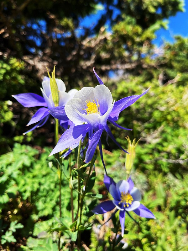
Columbine flower
10:09 步道左側不遠處是Blue Lake出水口,形成一座小流瀑。
Taken from Blue Lake below
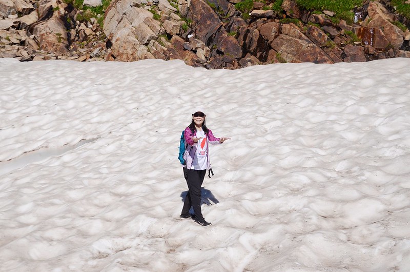
Snowfield near the outlet of Blue Lake
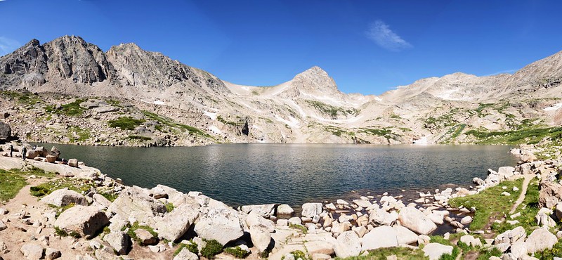
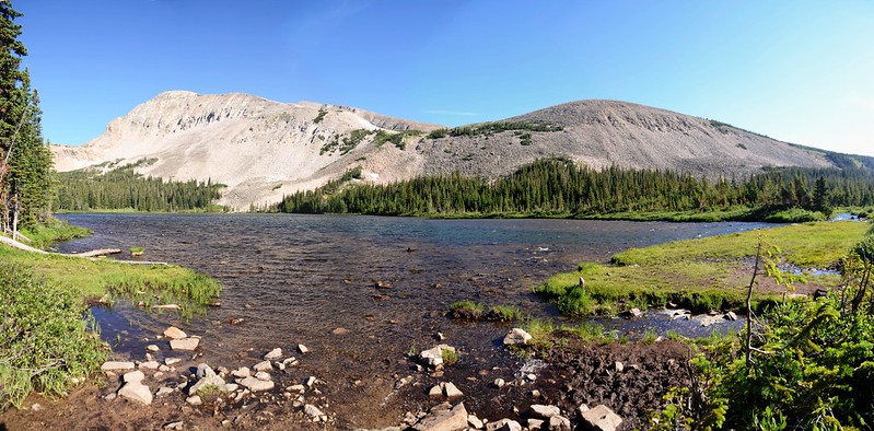
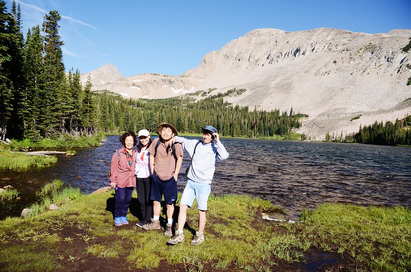
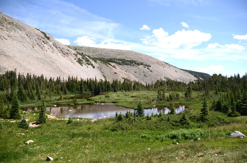
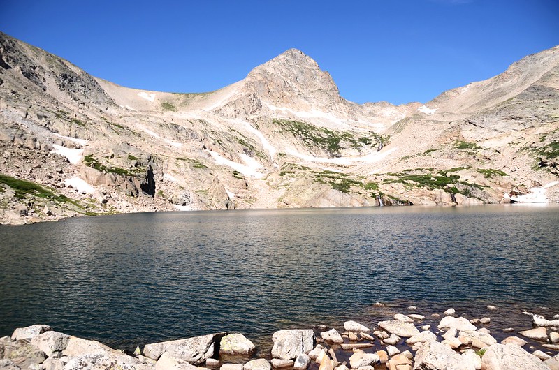
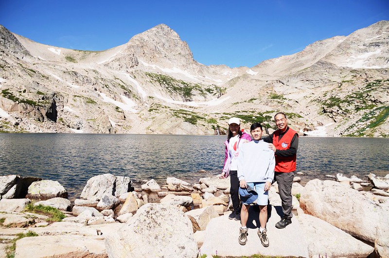
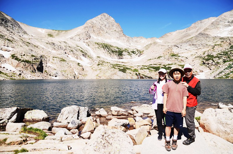
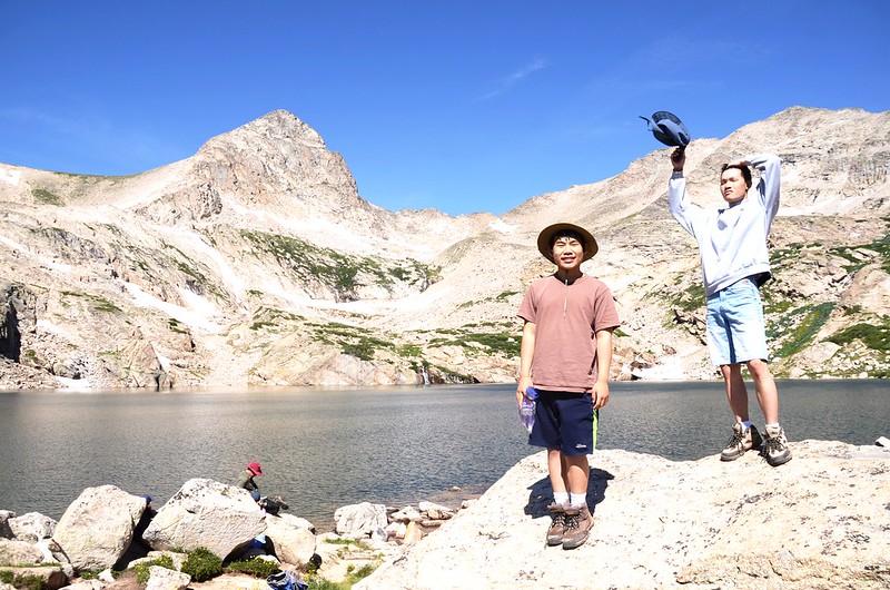
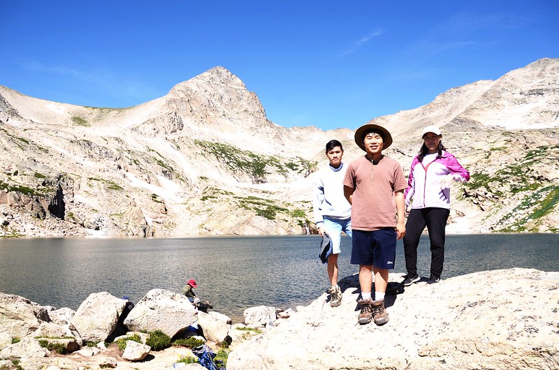
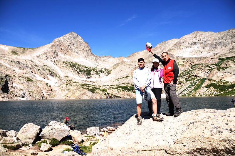
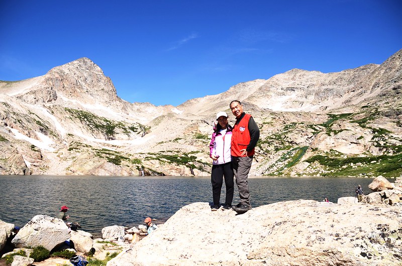
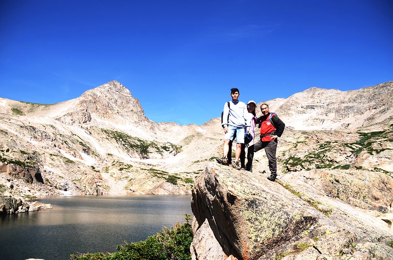
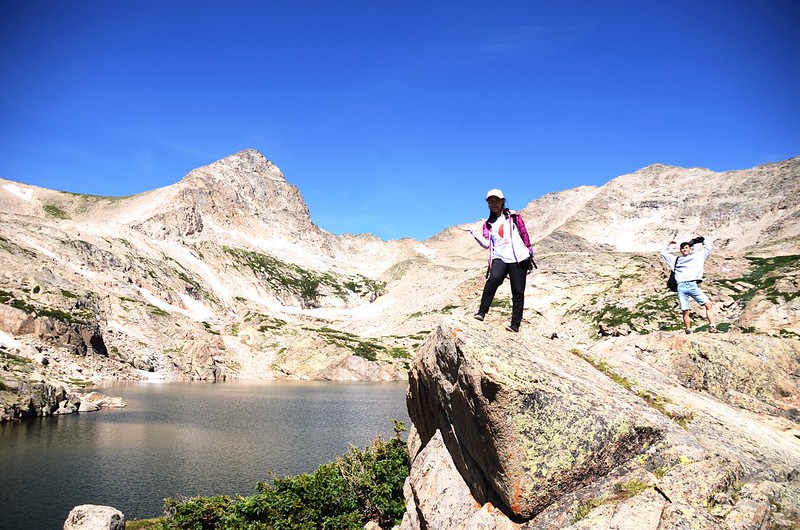
10:13 抵達Blue Lake,座標N40° 05' 19.2" W105° 37' 04.4",海拔海拔11,348呎/3,459公尺,距登山口2.73哩/4.4公里;
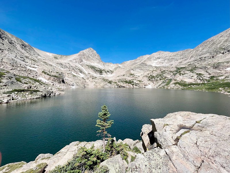
Blue Lake
尖塔狀的Mount Toll(海拔12,979呎/3,956公尺)矗立在湖的西岸,北岸是海拔13,221呎/4,030公尺的Mount Audubon,南岸則是海拔12,943 呎/3,945公尺的Pawnee Peak ,這美麗的高山湖泊就寧靜的躺在這群山的懷抱裡,我們在湖邊休息、用餐後隨即下山。


Blue Lake
10:50 循原路下山。
12:14 返抵登山口,整裝後開車下山,途中經Brainard Lake 時下車拍拍照後開車返家。
Brainard Lake
Alltrails:Blue Lake via Mitchell Lake Trail (2022.07.27)
沒有留言:
張貼留言