攀登山岳:James Peak
山岳高度:海拔13,294呎(4, 052公尺)
登山口:Saint Mary's lake trailhead
登山口高度:10,300呎(3, 139公尺)
爬升高度:約3,000呎(914公尺)
---------------------------------------------------------------------------------------------------
St. Mary's Glacier hike
景點:St. Mary's Glacier (聖瑪莉冰河)
冰河高度:底部海拔10,696 呎 / 3,260 公尺
頂端海拔11,200 呎 / 3,414 公尺
落差 約500呎 / 152公尺
冰河長度:約0.5哩 / 800公尺
登山口:Saint Mary's lake trailhead
登山口高度:10,300呎(3, 139公尺)
-------------------------------------------------------------------------------------------------------
上週六Tony開團要走四座14ers-- Decalibron (Mount Democrat、 Mount Cameron、Mount Lincoln和 Mount Bross),我雖然兩度登此群山,最近一次是2011.06.25的二登Decalibron (Democrat、Cameron、Lincoln、Bross),但還是想跟他再走一趟,沒想到當天早晨五點在Golden集合後因人數不足,Tony臨時決定和同是CMC的另一領隊Marty帶領的登13ers—James Peak併團,這也好,James Peak去年登Rogers Pass Lake時(獨登 Rogers Pass Lake and Heart Lake) 即見到此山壯麗的山容,沒想到一錯陽差,今天竟能非預期的攀登此山。
在Golden分配共乘車輛後沿I-70州際公路西行,過Idaho Springs(Exit 240) 不久於Exit 238下高速公路後沿Fall River Road (County Road 275) 北行,中途經過Alice小鎮後抵登山口停車場,I-70至停車場約9哩;該停車場一大一小皆在公路左側,每車停車費5元美金,夏天假日有時車位一位難求,大部分的遊客是為著St. Mary's Glacier和St. Mary's Lake而來,這個景點距登山口僅0.75哩,爬升約400呎(122公尺)。
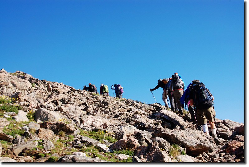
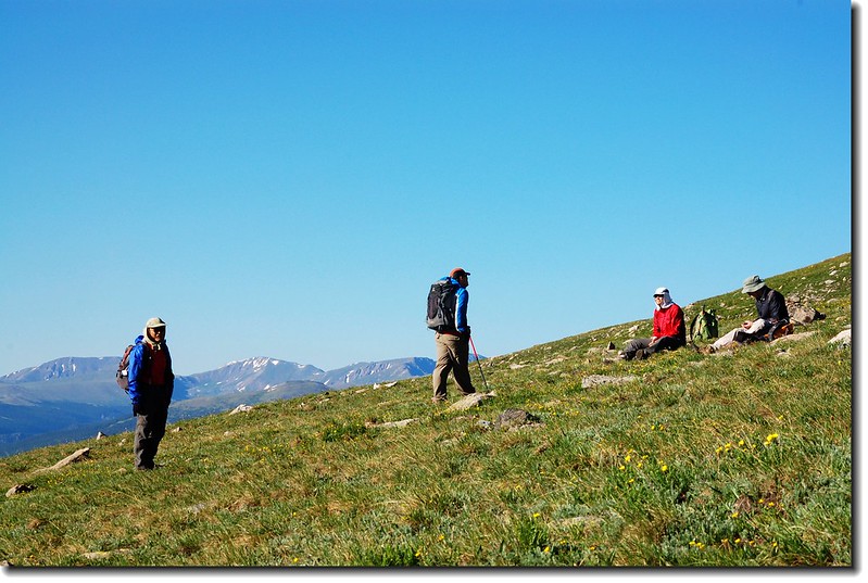
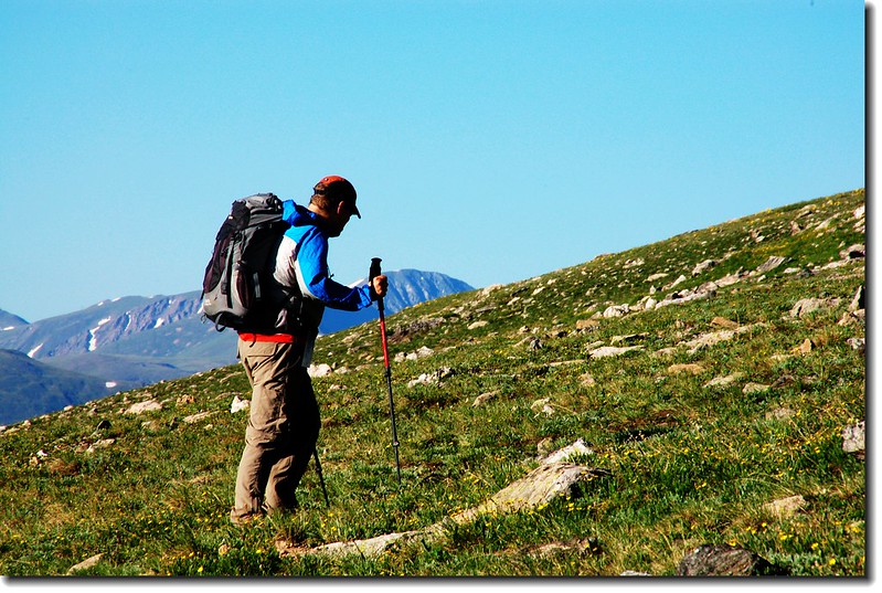
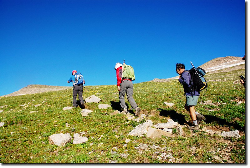
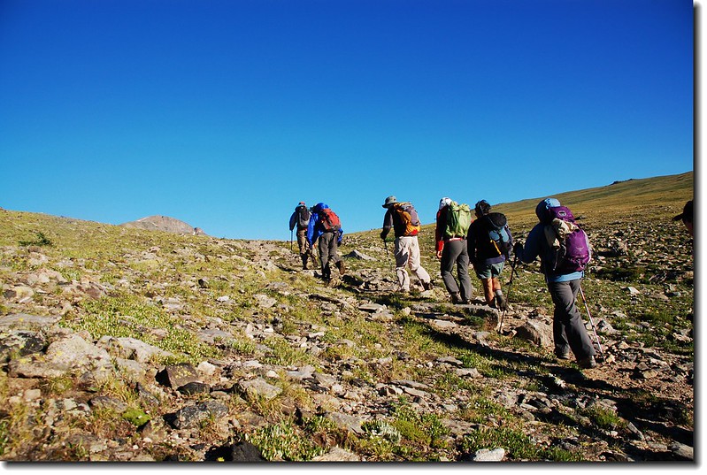
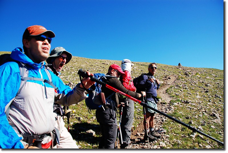
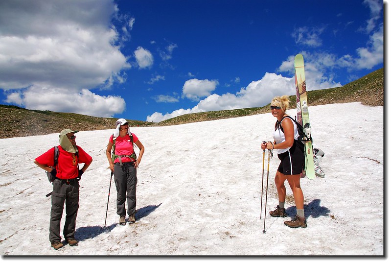
此行由Tony帶領我和Susan兩人,併上由Marty帶領的七人小組合計十人抵達登山口後稍作整裝隨即出發。
---------------------------------------------------------------------------------------------------------------
步程簡述:
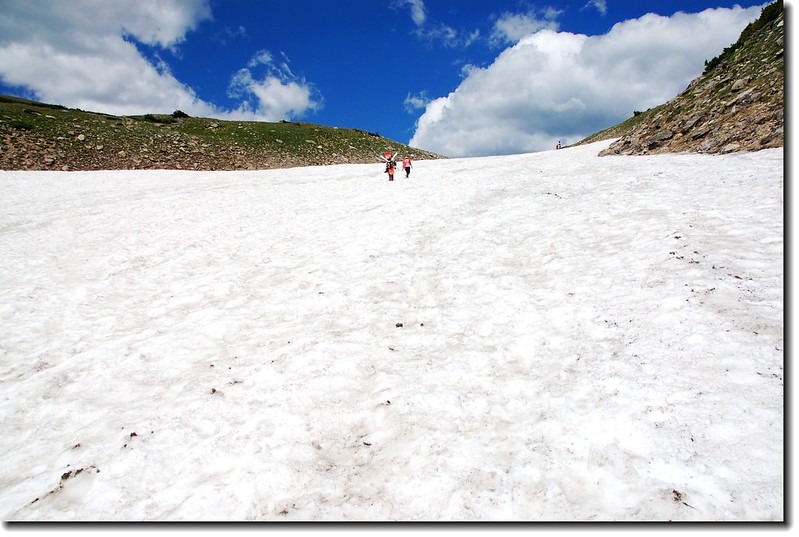
06:35 停車場出發(海拔10,300呎),登山口告示牌標示距冰河(Glacier)底部3/4哩;一路沿亂石集聚的還算寬大步道上山,步道雖寬但亂石堆積走來不輕鬆。
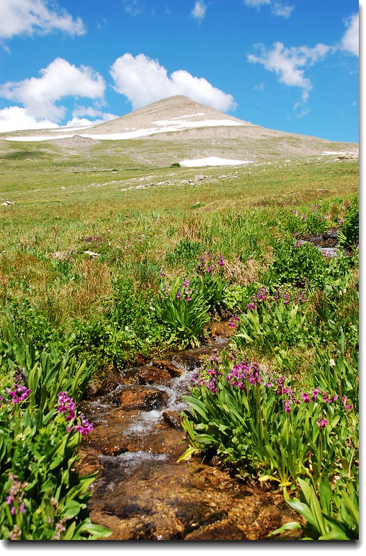
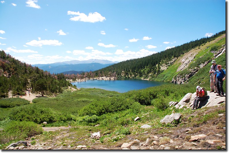
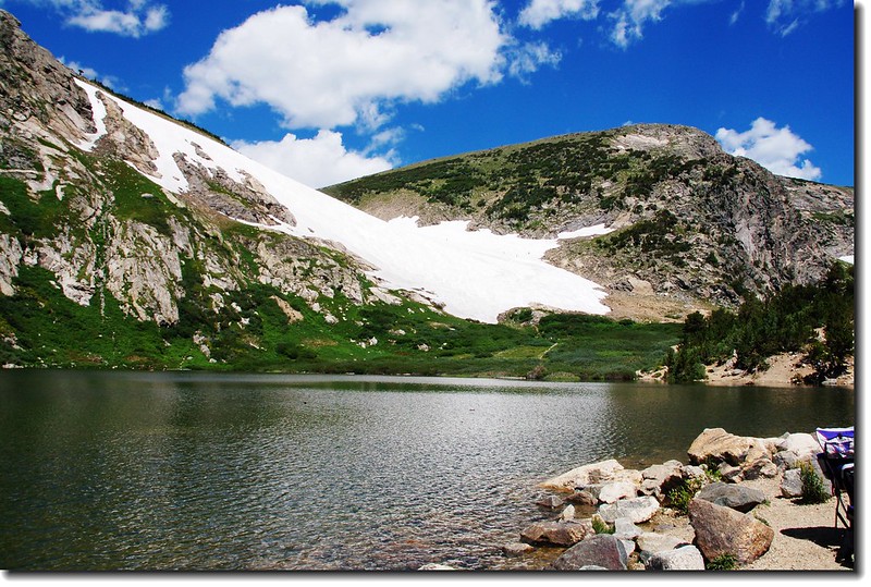
06:53到達冰河(Glacier)底部小湖--St. Mary's Lake (海拔10,696 呎 / 3,260 公尺),時間尚早未見一位遊客。
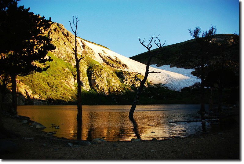
St. Mary's Lake
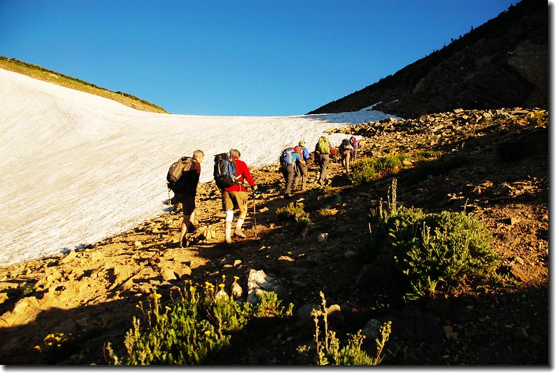
07:00 由St. Mary's Lake東岸出水口的小鐵橋繞過後,來到北岸的St. Mary's Glacier底部;與其說是冰河(Glacier)不如說是雪原(Snowfield)來得恰當,因為他並不是真的冰河,之所以取名冰河可能是為吸引觀光客吧!
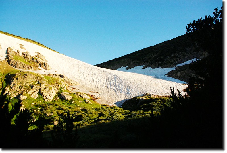
St. Mary's glacier
Mt. Evans seen from St. Mary's Glacier
07:05 循冰河上山,早上的冰河因夜晚的低溫冰面蠻堅硬的,但也容易滑倒,小心行走、步步為營。


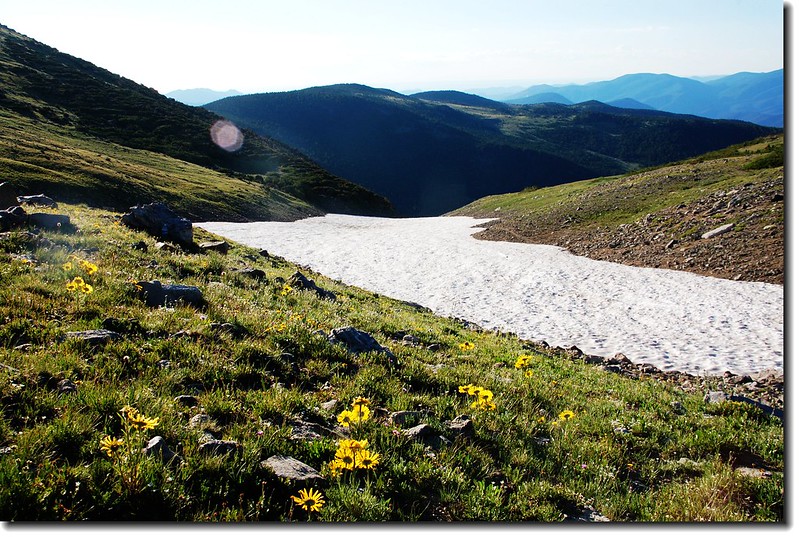
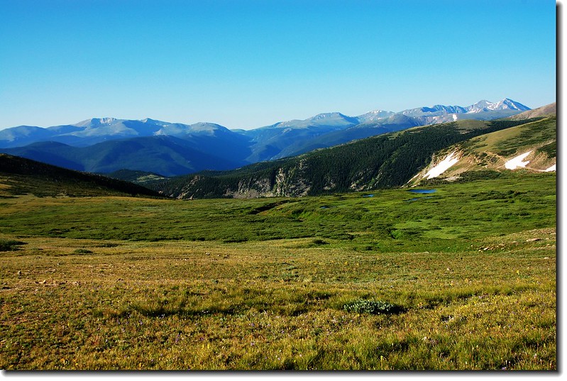
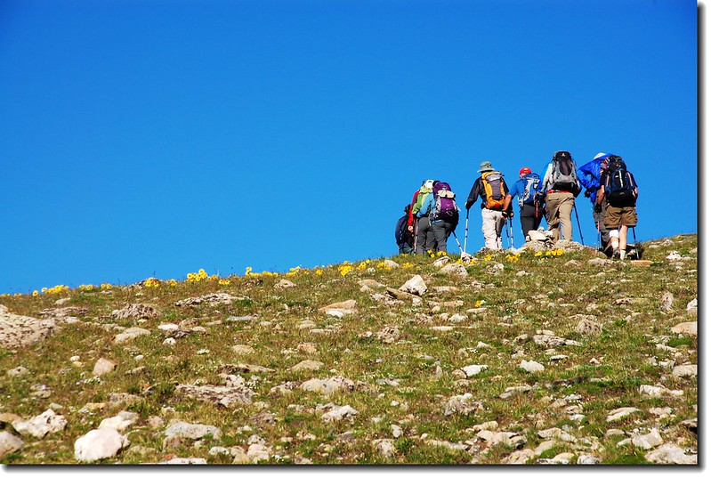
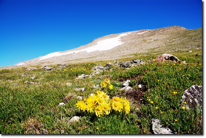
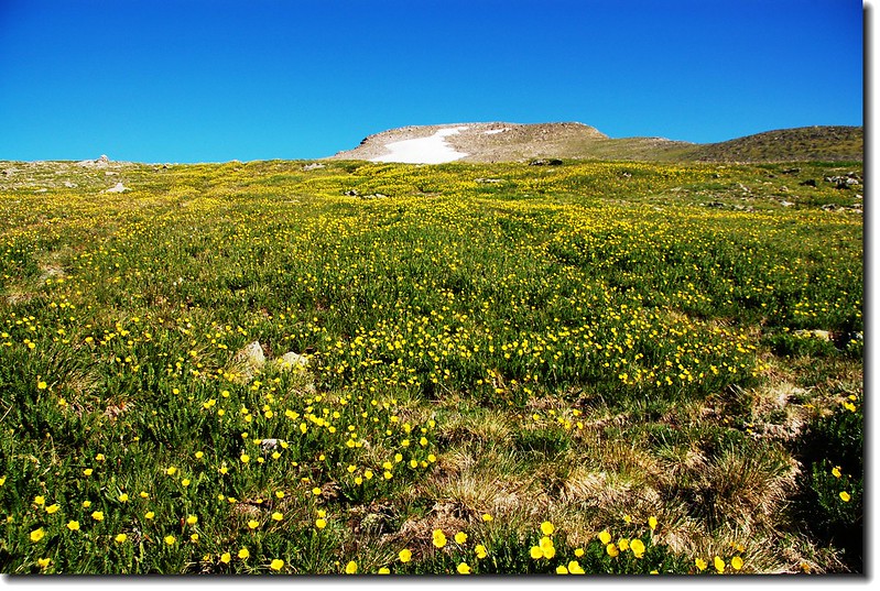
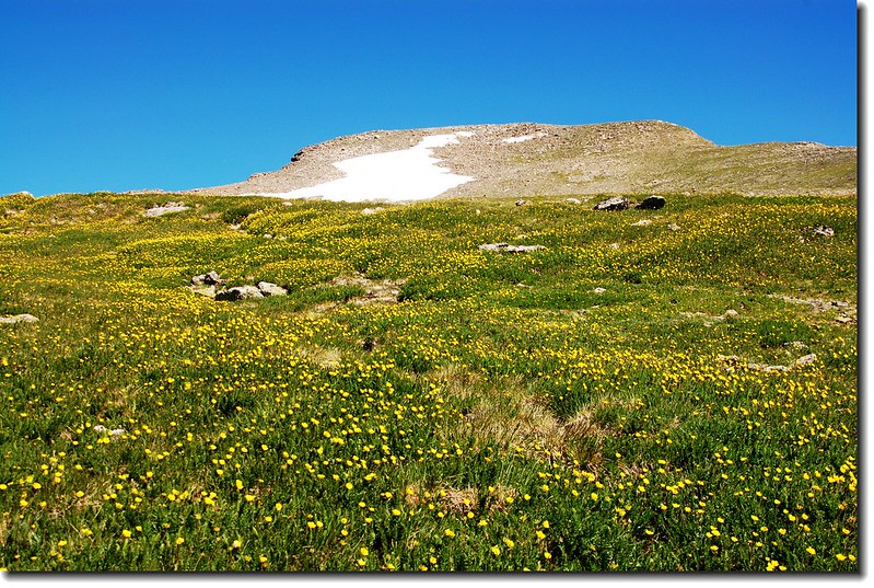
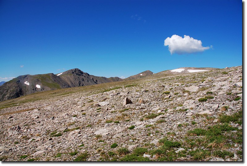
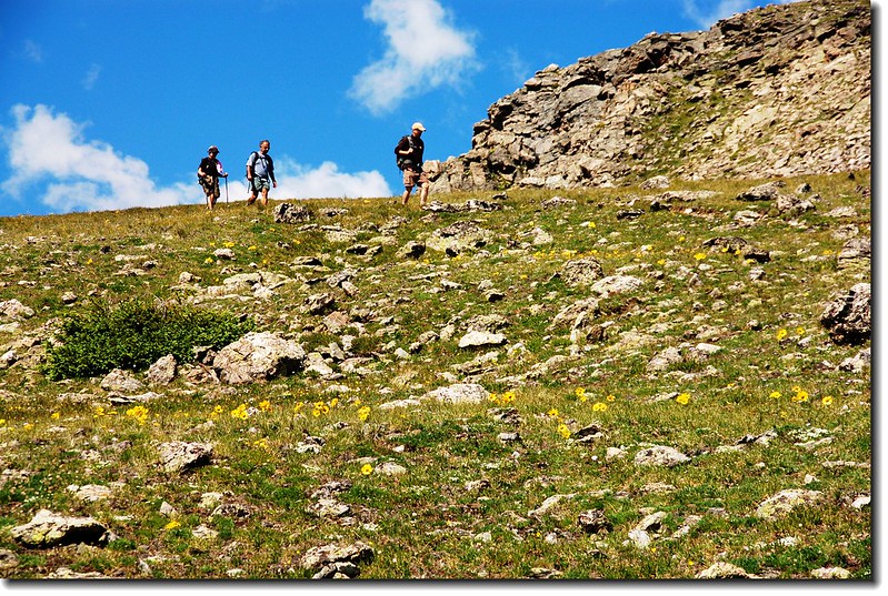
07:35 抵達冰河頂端(11,200 呎/ 3,414 公尺),這條冰河大約有七、八百公尺吧!爬升高度約150公尺左右;上到冰河頂端是一望無際的苔原,好壯觀哦!
View to East from the top of St. Mary's glacier
The broad tundra above St. Mary's glacier
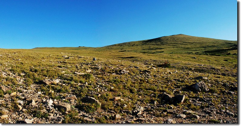
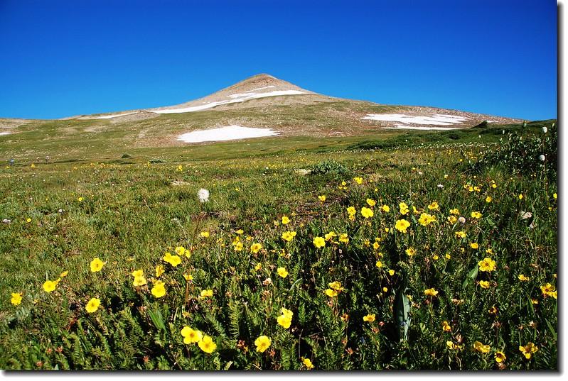
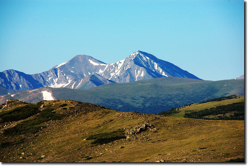
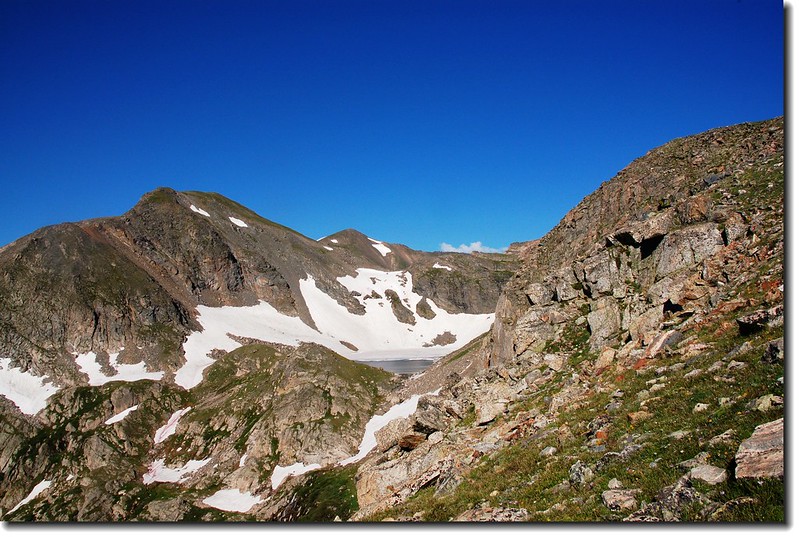
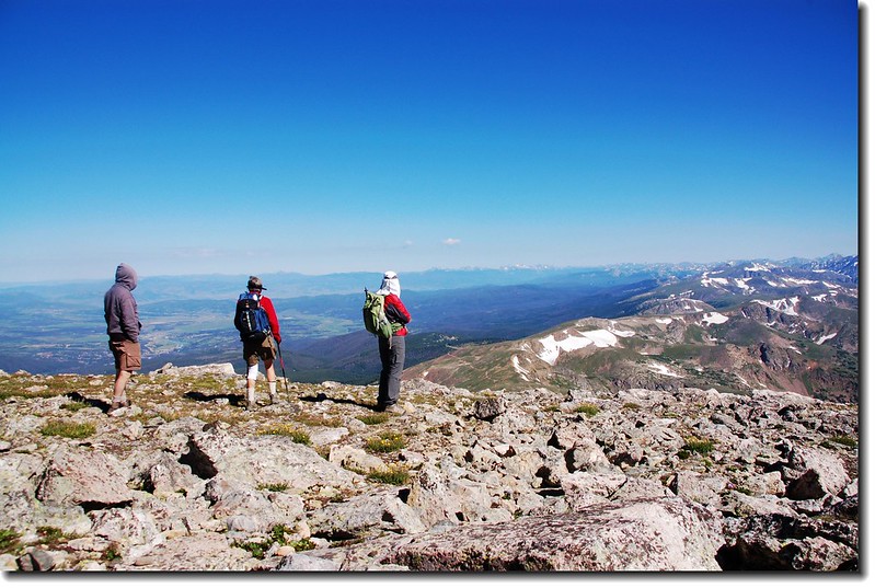
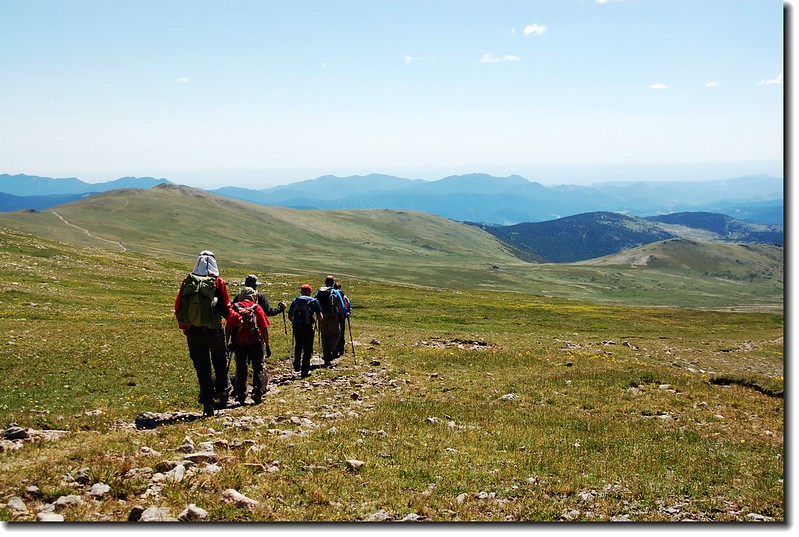
這裡是James Peak的東面山坡,走在苔原上往西一看,兩塊大山頭矗立在遠處;左邊雙駝峰似的是另兩座13 ers--Parry Peak(13,391 ft.)和Mt. Bancroft(13,250 ft.),右邊即是今天的目的地James Peak;我們就在這寬廣的苔原上朝James Peak西進。

Parry Peak、Mt. Bancroft & James Peak from the East slope
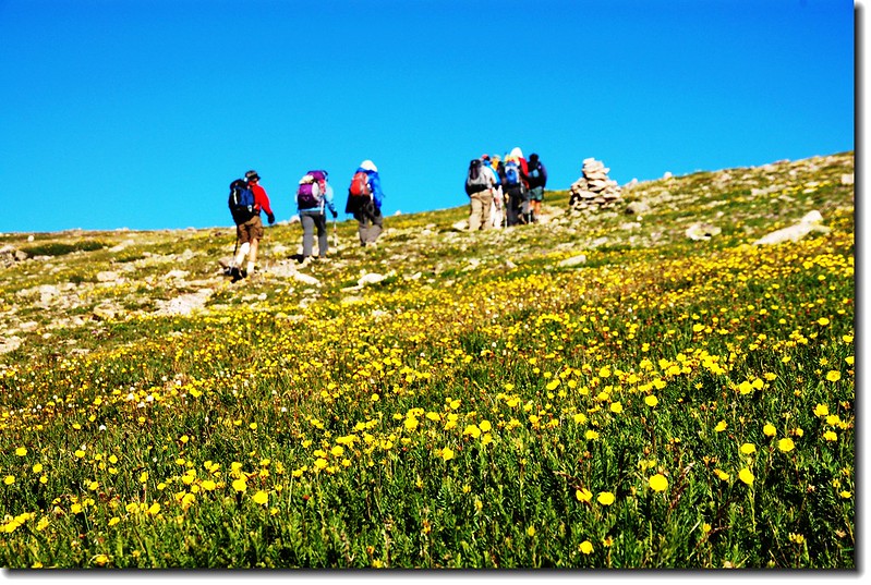
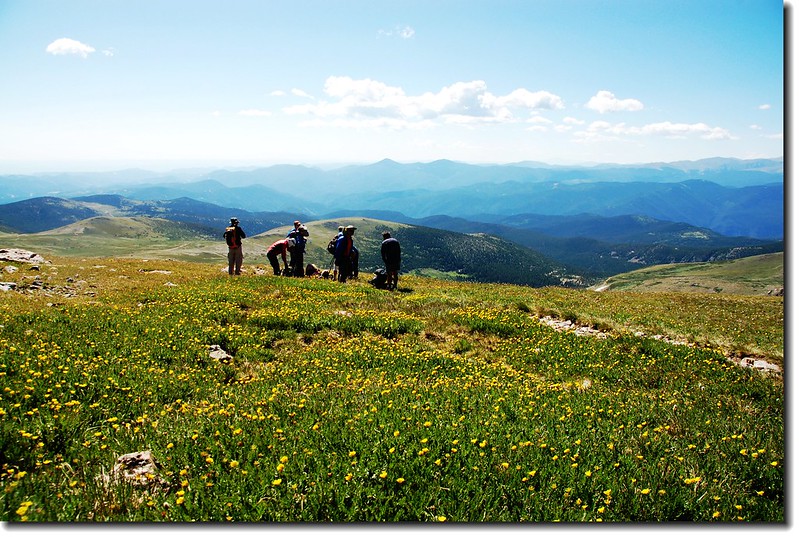
08:00 穿過一條ATV(All-terrain vehicle)車道,來到一處沼澤地,沼澤地野花盛開、美不勝收;

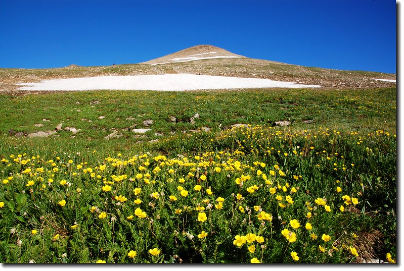
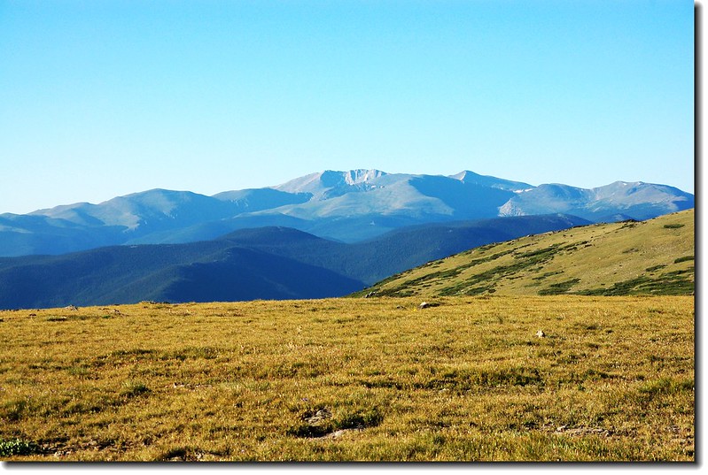
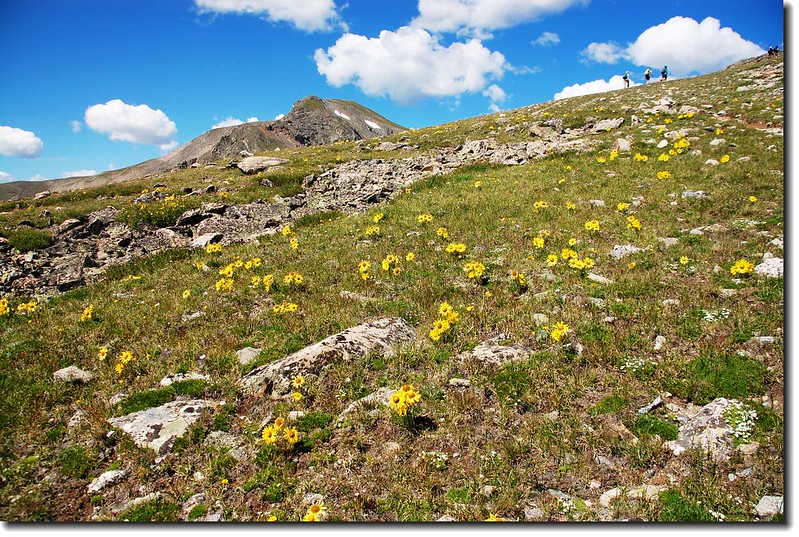
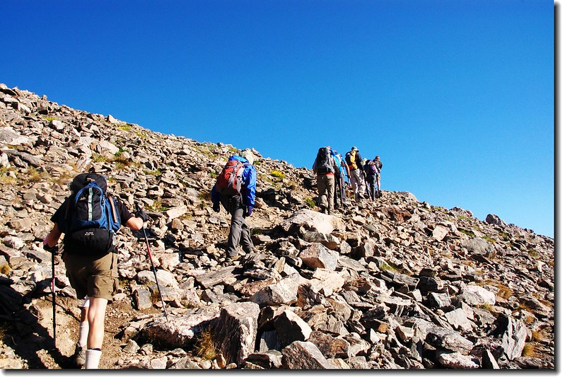
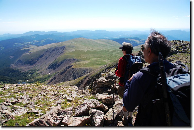
涉過沼澤地後步道坡度變陡(海拔約12, 000呎 / 3,658公尺),一路在James Peak的東面山坡“之”字形挺進,沿途南眺Mount Evans、Mount Bierstadt、Grays Peak和Torreys Peak等幾座14ers。
Grays(L) and Torries(R) seen from the slopes of James Peak
14ers--Mount Evans(後左) & Mount Bierstadt(後右) from James' slope
Mount Evans to Torreys Peak crest line from James' slope

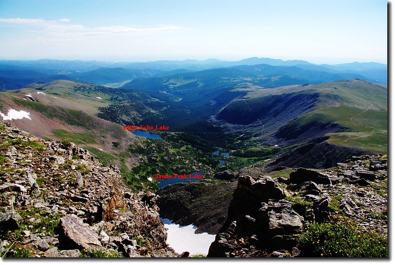
Looking down on James lake from James' slope
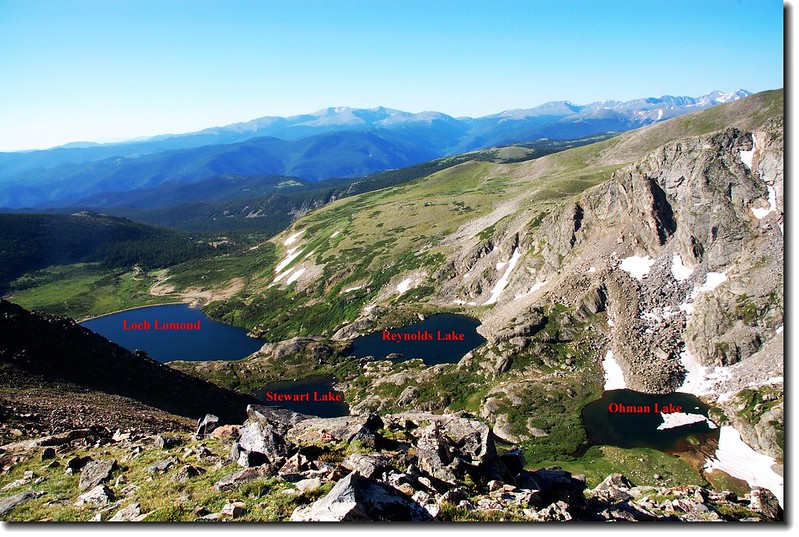
Looking down on lakes that are between James & Bancroft
Ice Lake
Parry Peak、Mt. Bancroft as seen from James' east slope
09:40 登頂James Peak,海拔13,294呎(4, 052公尺),這裡地處落磯山脈大陸分水嶺,西邊是Winter Park滑雪勝地,北望Indian Peaks和落磯山脈連稜,南邊最近的兩個山頭即是同是13ers的Parry Peak和Mt. Bancroft。
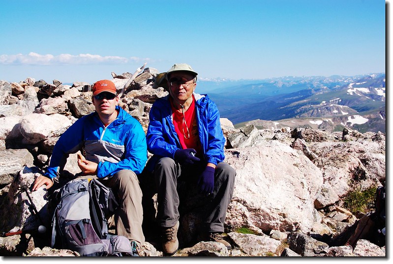
Tony & Marty on the summit of James Peak
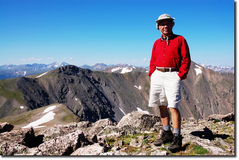
Me on the summit of James Peak
View to Northwest from James' summit
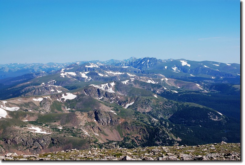
View to North from James' summit
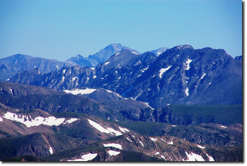
View to North from James' summit, Longs Peak is in the distance
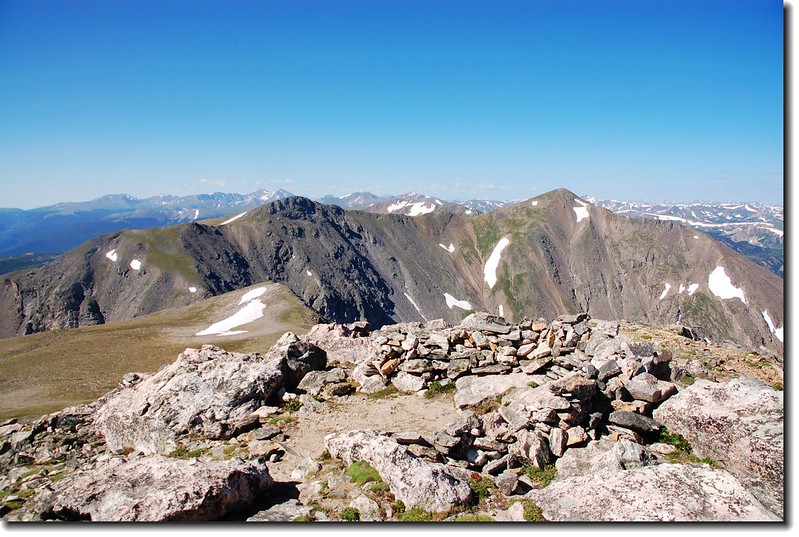
Parry Peak、Mt. Bancroft from James' summit
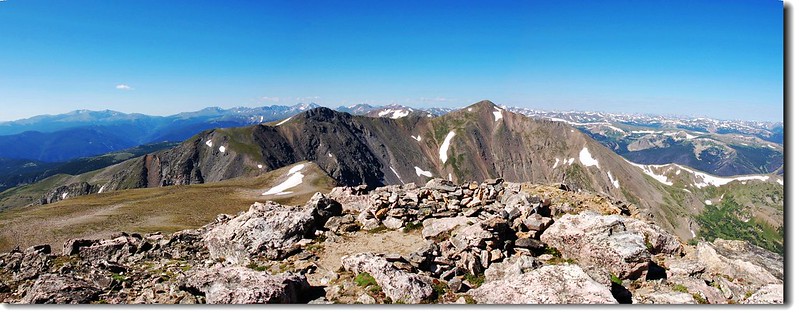
View to South from James' summit
10:10 下山。

11:25 抵ATV車道,數部ATV緩緩經過。
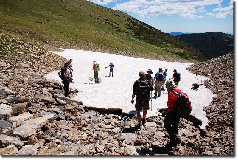
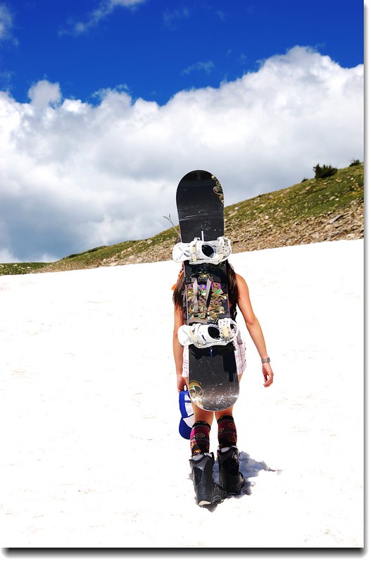
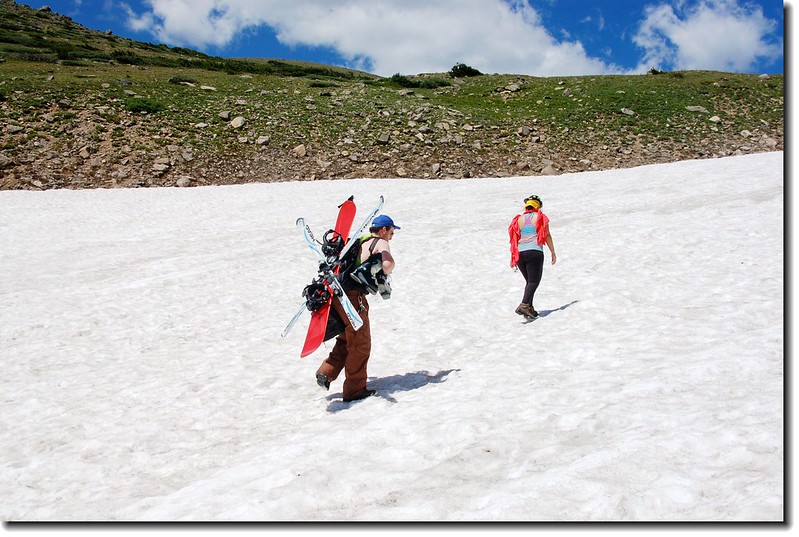
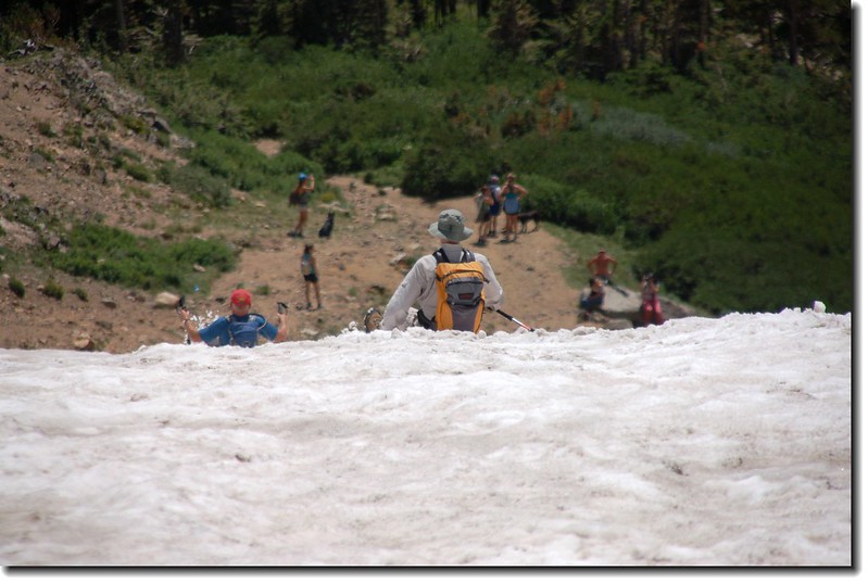
11:45抵達冰河頂端,此時登山客、遊客、滑雪客(不誇張,夏季八月天滑雪)佈滿冰河上;
The top of St. Mary's glacier
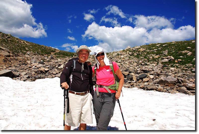
Susan & Me on the top of St. Mary's glacier
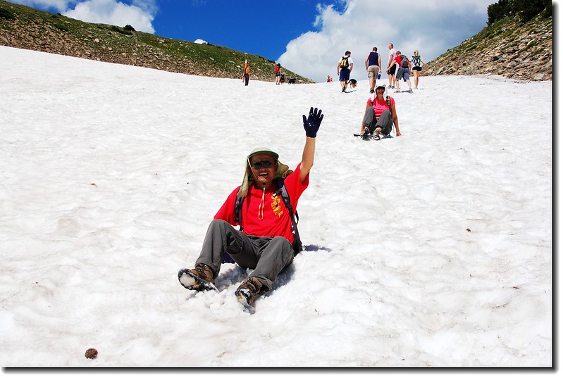
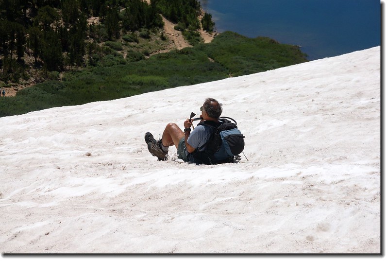
我們在緩坡段步行一段後來到坡度較陡路段,大夥兒二話不說,屁股往雪地一坐一路嚕到冰河底部,一百多公尺吧!

St. Mary's Lake, Mount Evans is in the distance
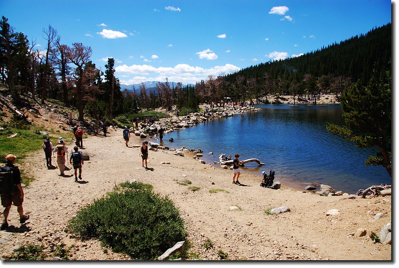
St. Mary's Lake
St. Mary's Lake
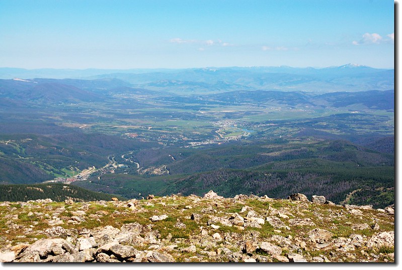
12:30 回到停車場,稍作整裝後下山,途經Idaho Springs時到一家“Two Brothers Deli”餐廳吃點東西、喝點飲料後回家。
沒有留言:
張貼留言