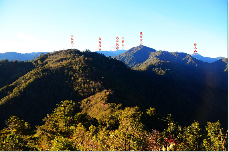
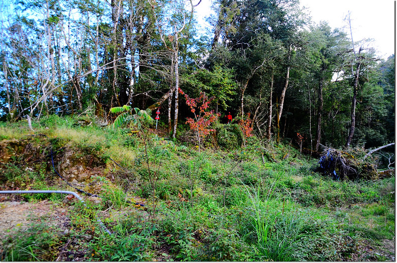
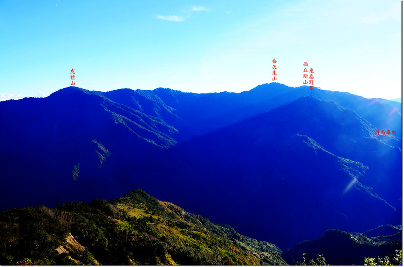
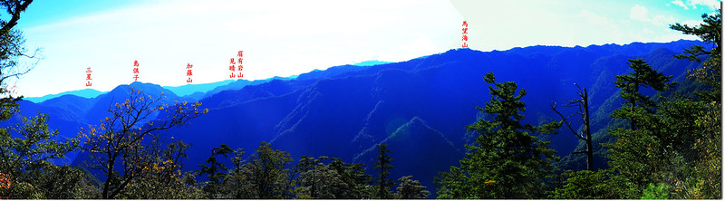
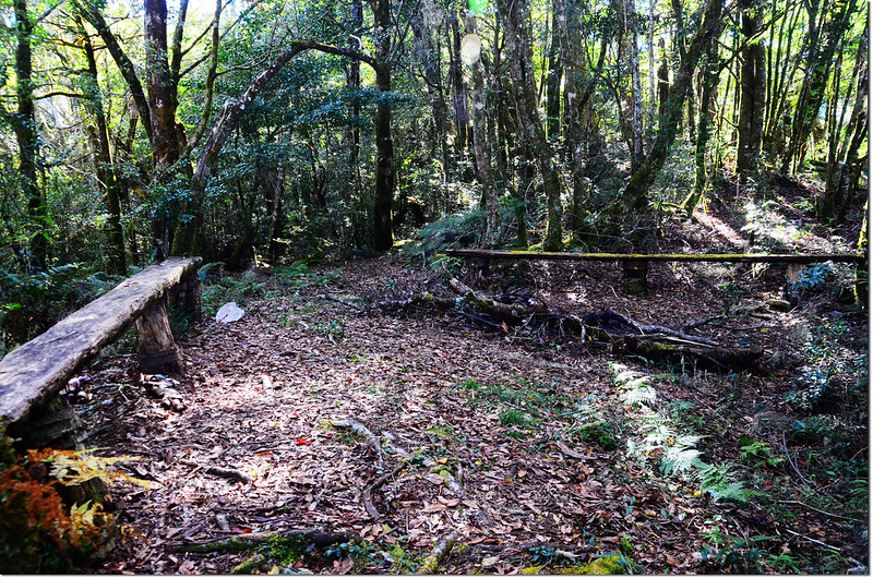
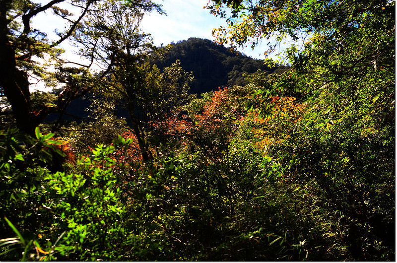
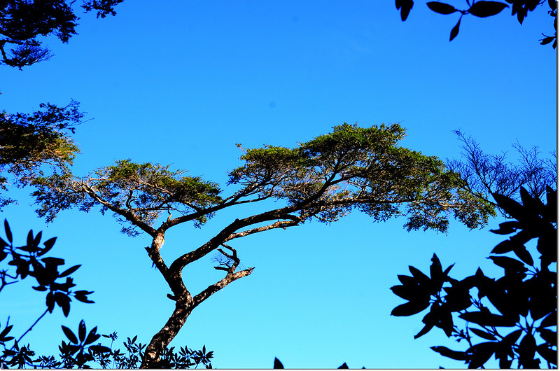
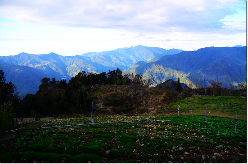
鎮子堡山南眺大霸尖山、西納基~基那吉山連稜
今天小蔡規劃攀爬泰崗部落及鎮西堡上方的鎮子堡山縱走基那吉山,採取由泰崗產業道路終點的鎮子堡登山口起登,原路來回;一大早由左晚住宿的司馬庫斯出發,計畫攀登鎮子堡山、西納基山和基那吉山。
攀登山頭:
鎮子堡山:位於新竹縣尖石鄉,標高2092公尺,山頂立有一顆編號6244號的三等三角點,座標278511 2720235。
西納基山:位於新竹縣尖石鄉,標高2178公尺,山頂無基石,座標278537 2719292。
木名地山:又稱基那吉山,位於新竹縣尖石鄉,標高2575公尺,山頂立有一顆編號1538號的二等三角點,座標276995 2716220。
登山里程:來回12.8公里
總爬升高度:1076公尺
登山時間:8小時52分(含午餐休息52分)
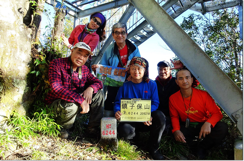
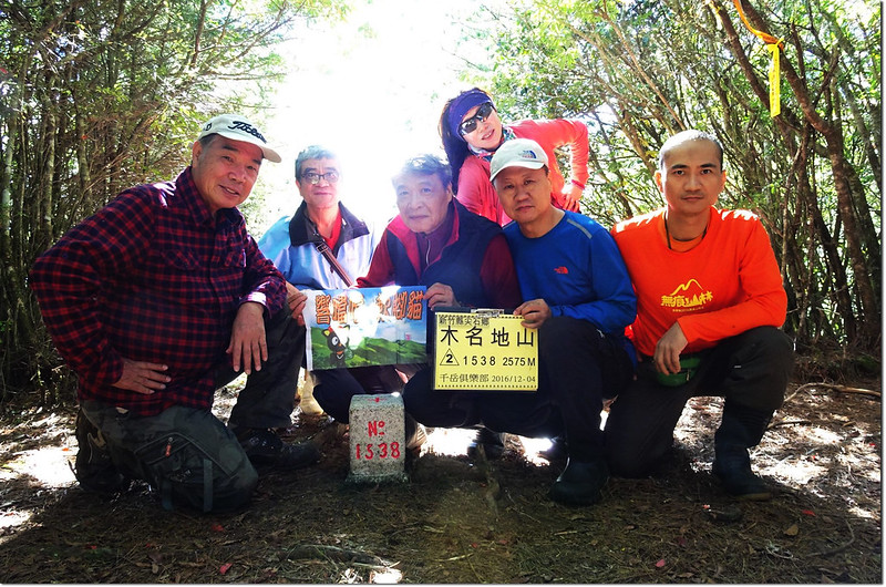
同行山友:謝明學、高緣泉、蔡正沂、李飛刀、吳柔芝
--------------------------------------------------------------------------------------------------------
行車資訊:
由司馬庫斯沿產業道路回行往尖石,行約16.4公里來到泰崗部落遇竹60鄉道後取左行進入泰崗部落,竹60鄉道行約650公尺遇岔路,左岔續行竹60鄉道往鎮西堡不取,取右直行走“錦路至養老聯絡道路”,行1.3公里後遇岔路,岔路口指示牌標明右岔往“錦路、司那吉步道”不取,取左轉上行,產道續行2.1公里後岔路取左行,600公尺後岔路再取左急轉續行,產道續行約1.8公里到茶園上端水泥路終止轉彎處有一較大空間,高底盤車或性能佳的一般房車可開至此(278750 2720660,海拔1935公尺),四傳車可再續行350公尺直抵產道終點鎮子堡登山口(278667 2720499,海拔1991公尺)。
鎮子堡登山口北眺李棟山
鎮子堡山登山口北眺
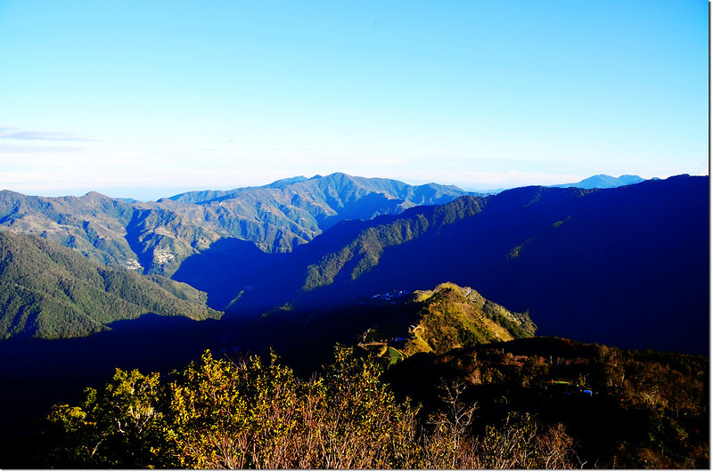
鎮子堡登山口有一平坦空地,可停放幾部四傳車,旁有兩座大圓形鐵皮蓄水槽,東北邊有極佳的展望,鎮子堡山就矗立在南邊直線距離不到300公尺處,山頂的鋼骨觀景台看得一清二楚。
鎮子堡登山口南望鎮子堡
步程簡述:
06:55 由登山口出發;
鎮子堡登山口
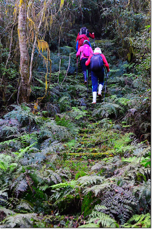
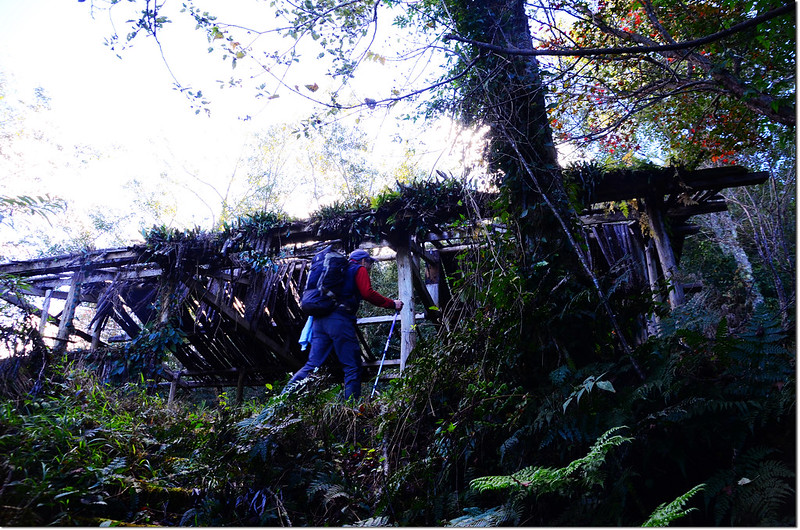
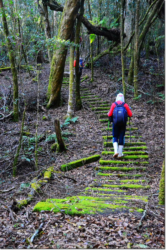
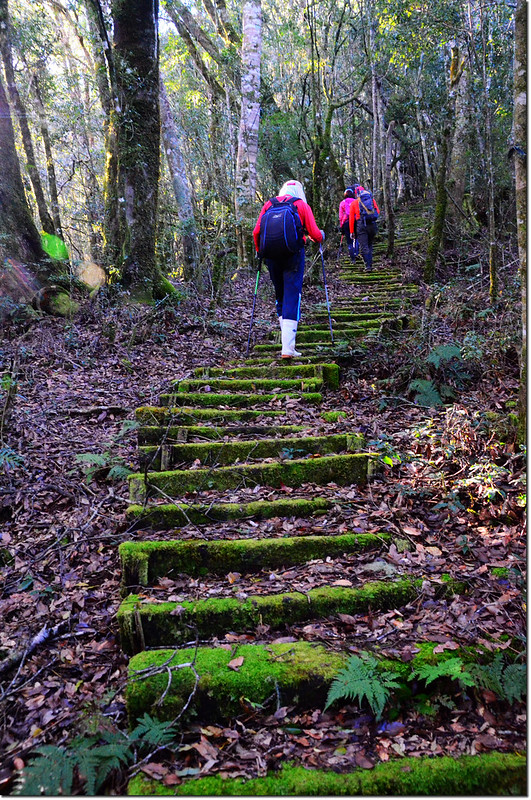
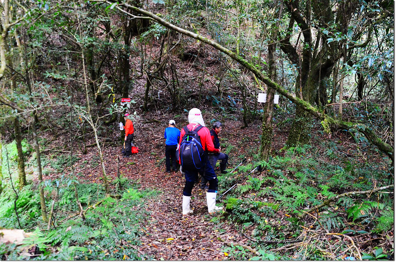
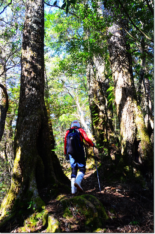
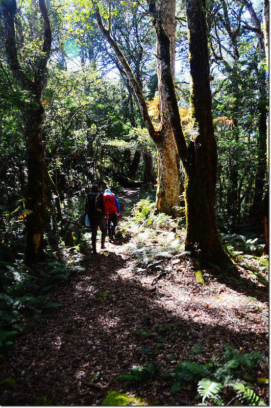
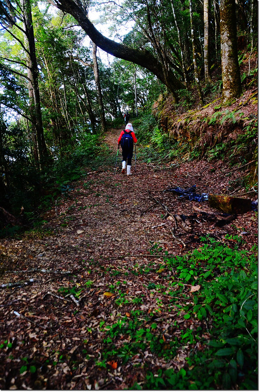
先往南鑽入林間小徑沿水管行一段路後開始沿長滿青苔的枕木階梯陡上,走在長滿青苔的枕木階梯上蠻詩意的,但大部分坡度很陡,還是爬得氣喘吁吁。
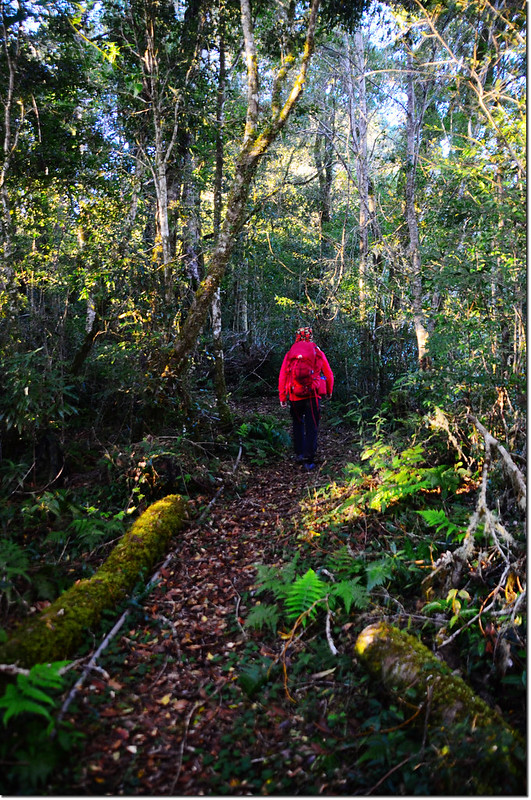
鎮子堡登山步道
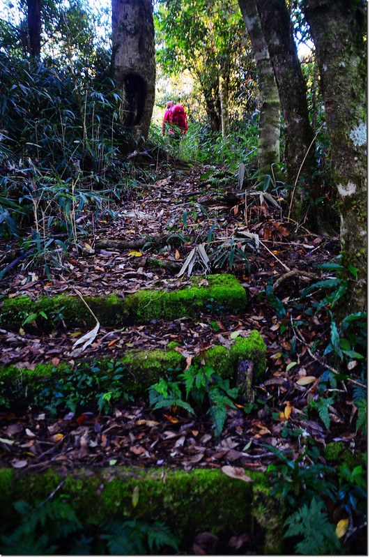
鎮子堡枕木登山步道
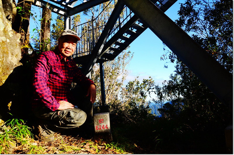
07:15 登頂鎮子堡山。
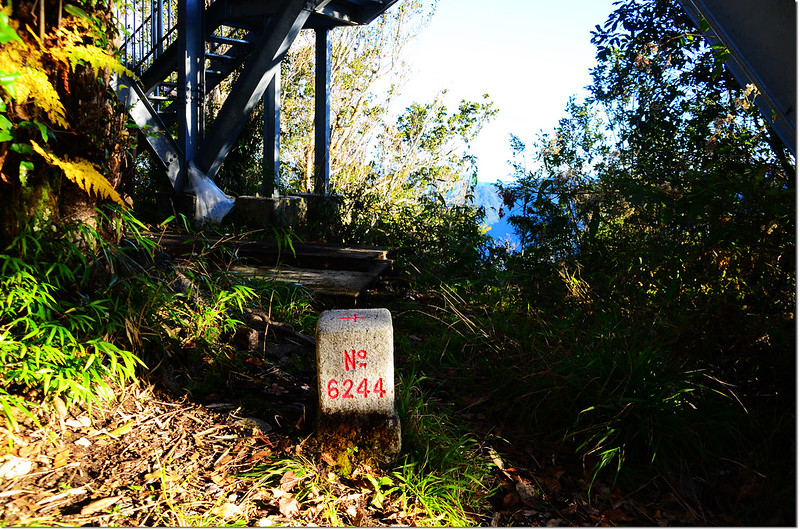
鎮子堡山三等三角點(# 6244 Elev. 2092 m)
鎮子堡山山頂
鎮子堡山位於新竹縣尖石鄉,標高2092公尺,山頂立有一顆編號6244號的三等三角點;基點旁蓋有一座三層鋼骨結構的觀景台,登上觀景台有極佳的展望。
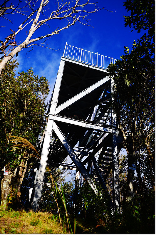
鎮子堡山山頂觀景台
鎮子堡山西眺
鎮子堡山東北眺
鎮子堡山北邊展望
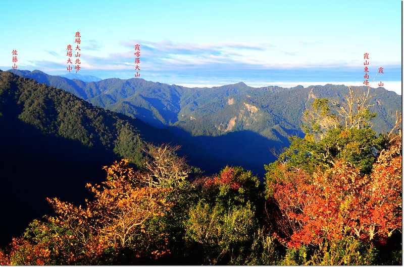
鎮子堡山南眺大壩尖山
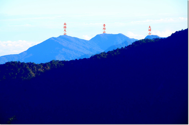
鎮子堡山東北眺南插天山、魯培山、夫婦山
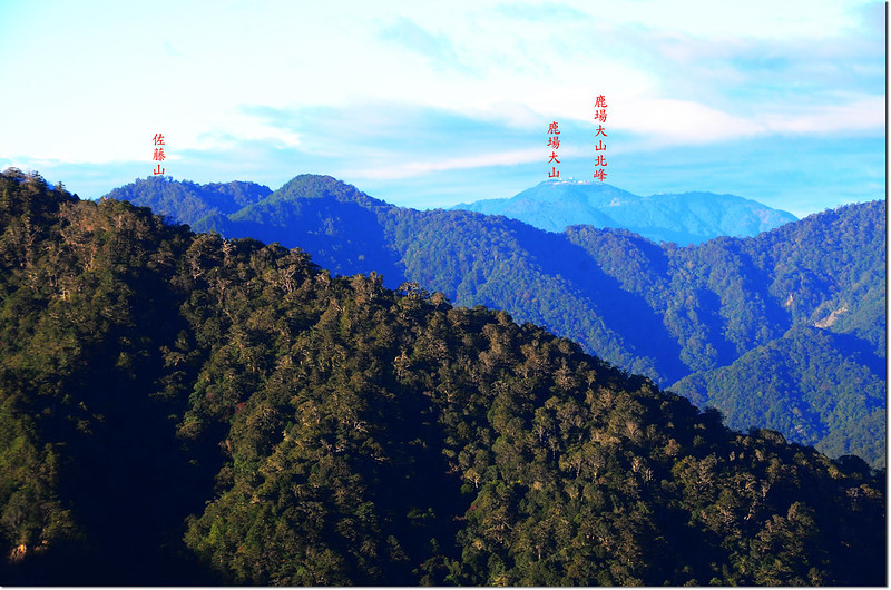
鎮子堡山西南眺佐藤山、鹿場大山
鎮子堡山山頂俯瞰山景
07:45 離開鎮子堡山續往西納基山;取南下枕木階梯續行,坡度蠻陡的,下午回來時有得爬了。
07:52 路左一條岔路由山腰匯入(278474 2720012),不知通往何處?
07:55 下抵鎮子堡南鞍(278461 2719876,海拔2016公尺),此為鎮子堡與西納基山間最低鞍,過此低鞍再緩升約100公尺路經芒草段後路徑開始沿枕木階梯陡升。
西納基山步道
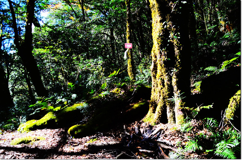
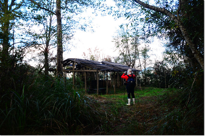
08:04 抵達竹屋涼亭(278468 2719664,海拔2075公尺);
西納基山竹屋涼亭
竹蓋的大涼亭內有原木椅凳可供休息,旁有一間獨立的小竹屋,應是洗手間,但已荒廢。
竹屋涼亭左右兩側均為林道,右測林道是西納基山的腰繞路(回程走的路線),左側則不知通往何處;小休喘口氣後由涼亭後朝南循枕木階梯往西納基山續行陡上。
西納基山步道
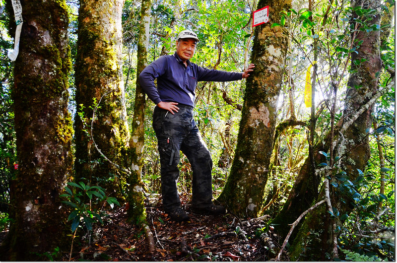
08:23 上抵西納基山,山頂是一平台休息區,有兩條L型長椅子可休息,最高點則再往左上十幾公尺處。
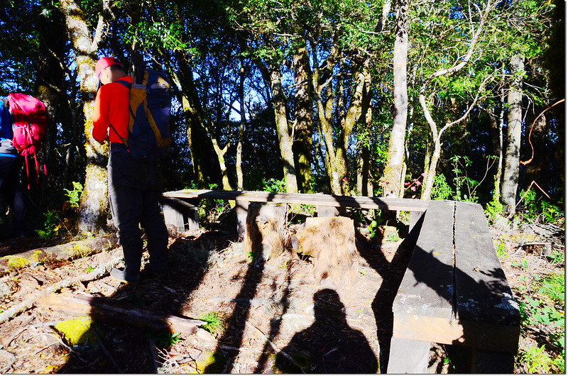
西納基山山頂休息平台
西納基山海拔2178公尺,山頂並無基石,山友在最高點的大樹幹上訂有山名、高度作為高點標示,該處立有“1500 M”里程木樁,座標為278537 2719292,左續前行往觀霸步道;
西納基山山頂
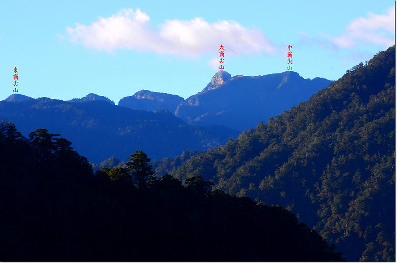
山頂南眺可見基那吉山及遠方的大霸尖山。
西納基山山頂基那吉山、大霸尖山
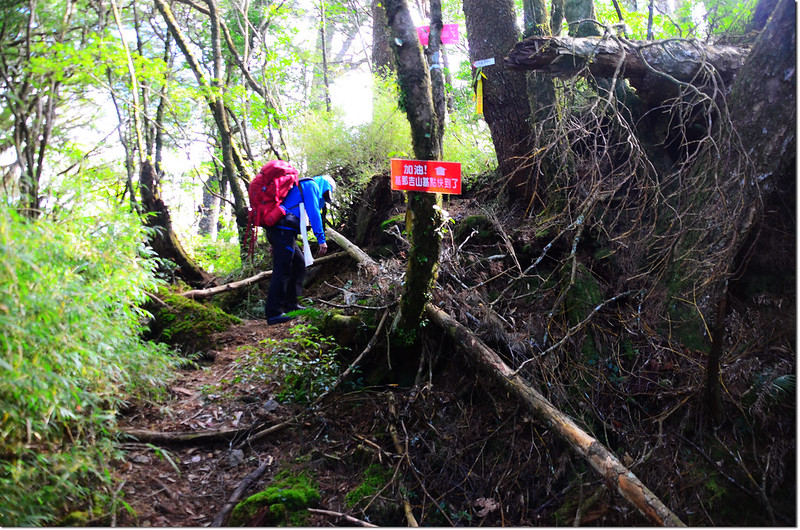
08:42 離開西納基山續往基那吉山西南行,步道口樹幹上訂有“基那吉山、鎮西堡產道登山口、鎮西堡部落”紅底白字指示牌。
08:44 經過一處左側崩壁瘦稜,小心應無危險性;
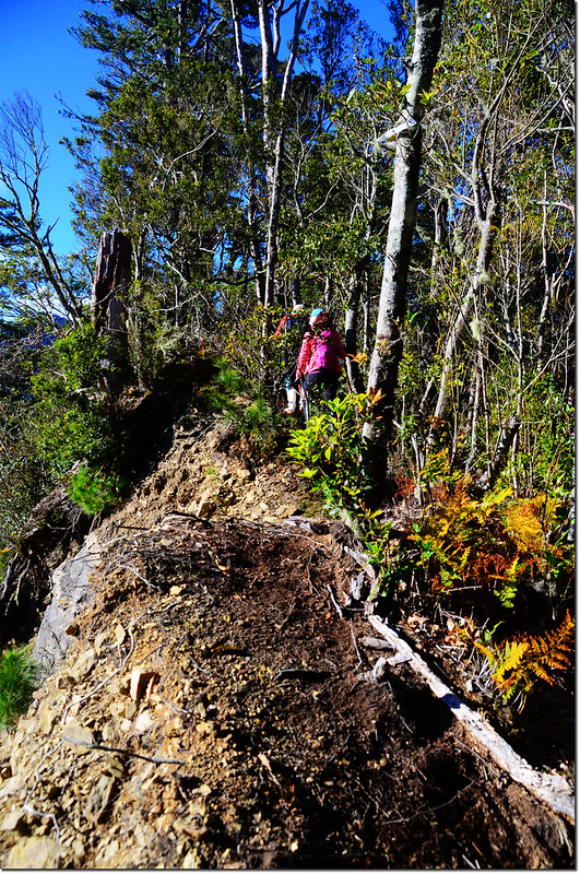
西納基山崩壁瘦稜
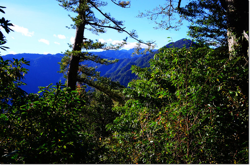
崩壁瘦稜處展望極佳,過崩壁後一路陡下。
西納基山南稜東邊展望
09:04 遇右岔路(278278 2718887,海拔2068公尺),樹幹指示牌標示右岔往西那吉古道(腰繞線),亦即可下切西納基山腰繞路,取直行續往基那吉山。
09:16 下抵西納基山腰繞路的岔路(278134 2718657,海拔2023公尺),右邊一條明顯林道來會,這是腰繞路可經由西納基山西側山腰回到竹屋涼亭,回程時會走此腰繞路就不必再陡登西納基山了;
西納基山腰繞路岔路
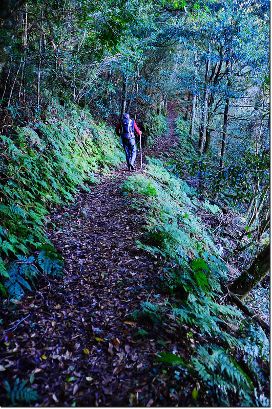
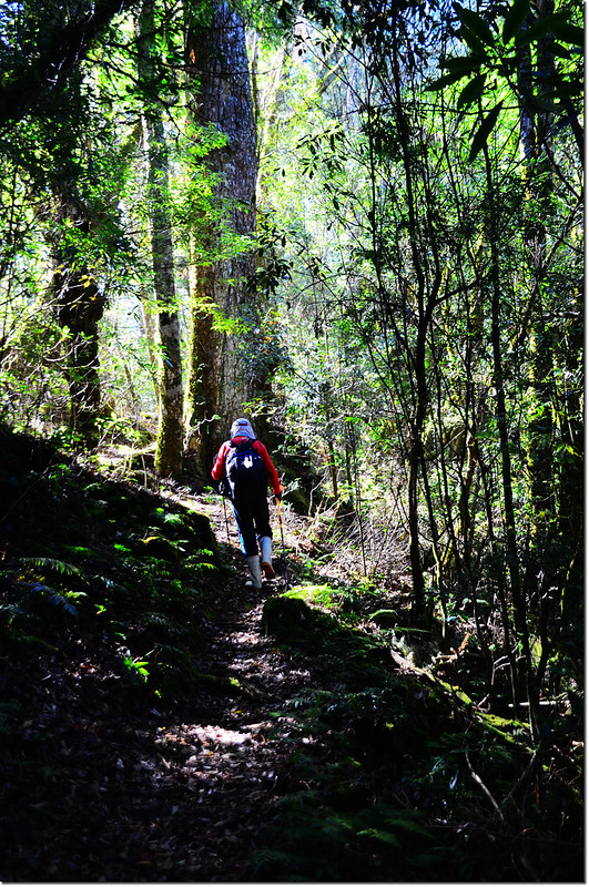
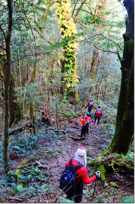
取左直行續往基那吉山,此後山徑變寬了,走起來非常舒服。
基那吉山古道
09:21 由一棵大倒木下通過,猶如穿越樹隧道。
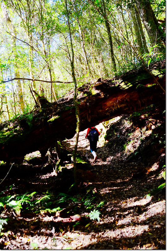
大倒木
09:22 路左有一岔路往“鎮西堡產道登山口、鎮西堡部落”,續直行。
猴板凳
基那吉山古道
09:50 倒木旁一處雨布獵寮。
10:25 長椅休息區(277315 2717661,海拔2210公尺);
長椅休息區
小休後續行。
基那吉山登山步道和巨木
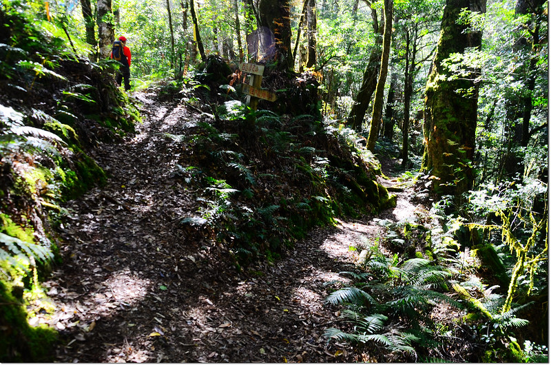
10:40 遇岔路(277283 2717437,海拔2212公尺),岔路口有“往泰崗、往基那吉山”木製指示牌,左下往鎮西堡,是從鎮西堡上來的傳統路線,前行上山往基那吉山,取直行,路旁陸續出現大巨木。
基那吉山登山步道和巨木
10:46棧木階梯。
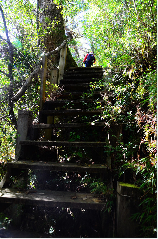
基那吉山木棧階梯
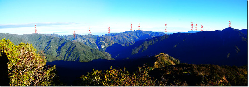
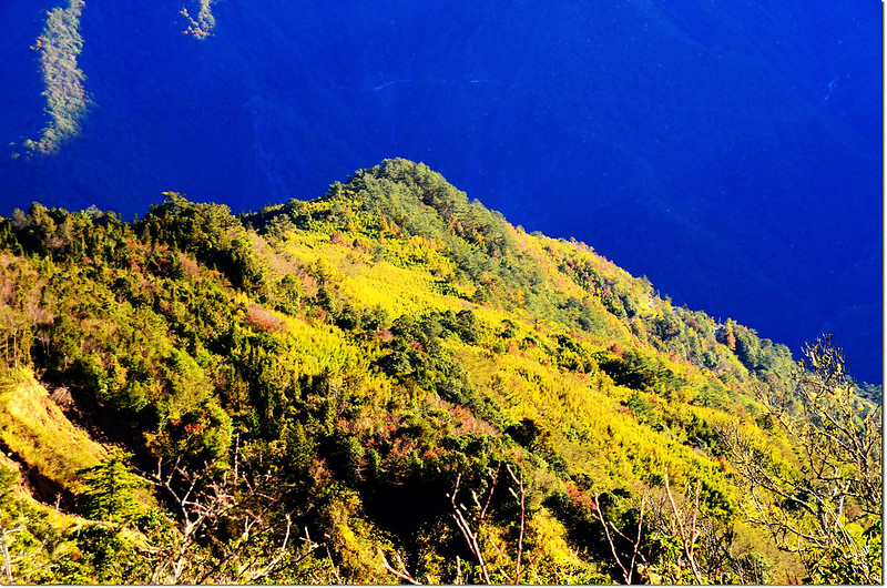
10:49 登上2255高點,在此可南望基那吉山的前山頭。
2255高點南望基那吉山前山頭
10:50 抵達一緩平鞍部,路右幾座腐朽長滿青苔的圓凳,過此鞍部路徑又開始緩升。
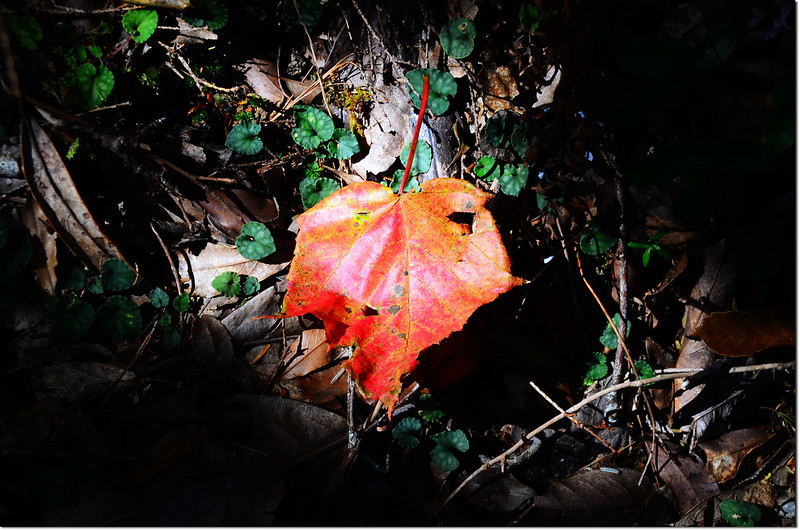
落葉
11:07 養老山、基那吉山岔路(276966 2716872,海拔2364公尺),右岔往養老山;
養老山、基那吉山岔路
休息後取左岔往基那吉山。
由養老山、基那吉山岔路取左岔行約30公尺即抵達大霸、基那吉山岔路,岔路口木製指示牌標示右岔直行往毒龍潭、大霸、南馬洋山,為大霸北稜的夢幻路線;左岔上行往基那吉山;
大霸、基那吉山岔路
取左上,先沿稜走一段緩平的山徑。
基那吉山登山步道平緩路段
11:20 出現矮箭竹。
基那吉山登山步道箭竹路段
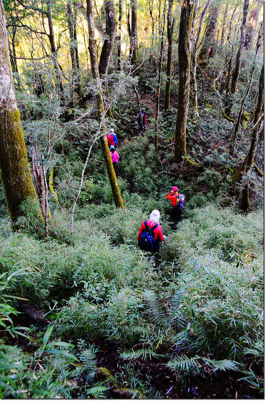
11:28 大量箭竹林,此後一路在箭竹海中陡登,其實了這些箭竹當助力爬起來也輕鬆許多。
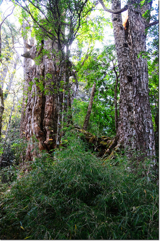
11:45 上到基那吉山前山頭,海拔2505公尺,有幾棵巨大檜木;
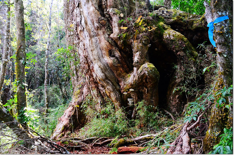
基那吉山登山步道和巨木
過巨木後坡度稍緩,一路循稜緩上至基那吉山頂。
11:57 山頂稜線岔路,右轉往基那吉山山頂,左岔小路是往毒龍潭的舊路;取右行。
基那吉山稜線岔路
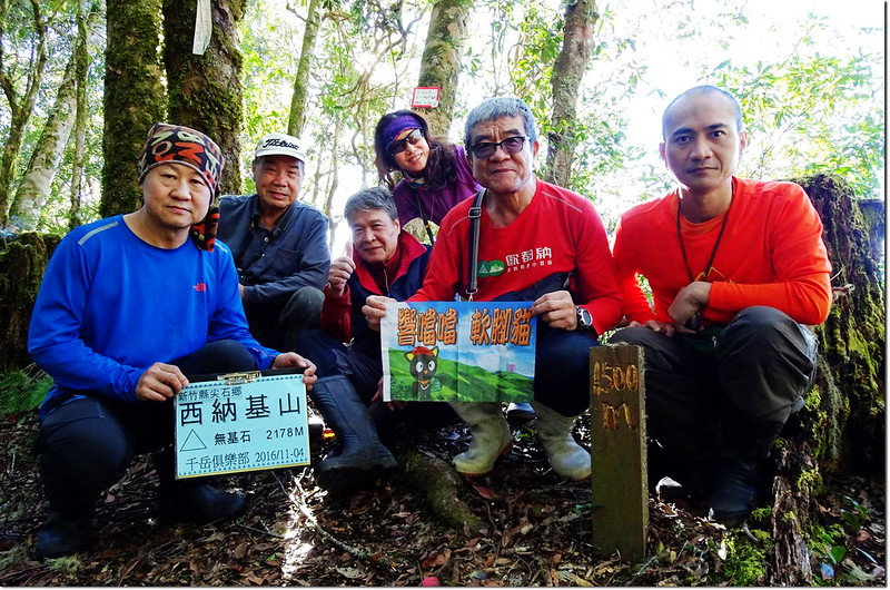
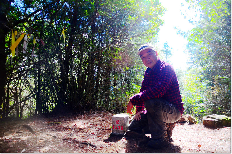
12:00 登頂基那吉山。
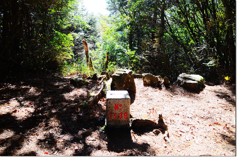
基那吉山二等三角點(# 1538 Elev. 2575 m)
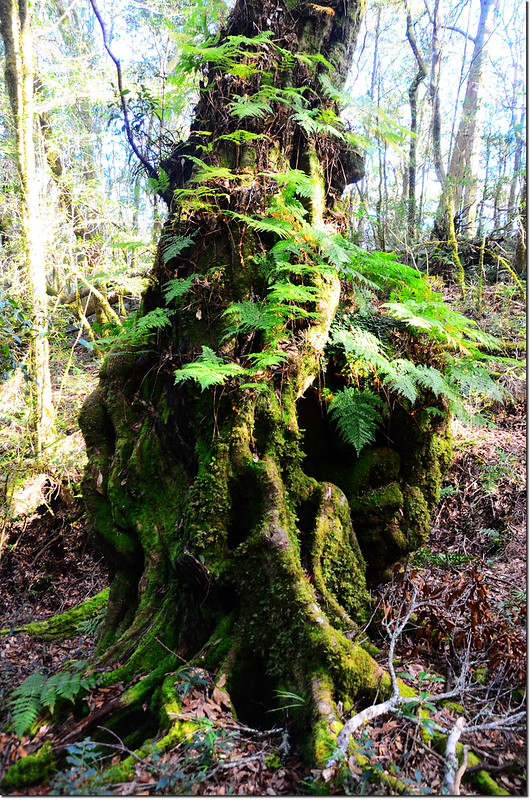
基那吉山(木名地山)標高2575公尺,山頂立有一顆編號1538號的二等三角點,山頂右有指標牌通往“布奴加里山、鎮西堡產道終點登山口、鎮西堡教會”,或接上大霸北稜,通往南馬洋山、大霸尖山;左下可循往毒龍潭路徑,出鎮西堡神木群。
基那吉山山頂
山頂沒什麼展望,在此休息午餐。
12:50 下山。
13:25 下抵往毒龍潭、大霸、南馬洋山岔路,取右下山。
鐵杉
13:46 返抵10:40鎮西堡岔路,容易走錯路,應取左岔小下坡再爬升上坡路,勿取右岔路條較多的往鎮西堡下坡路。
基那吉山登山步道和巨木
基那吉山登山步道
14:34 抵達西納基山腰繞路岔路,小休後取左腰繞路往竹屋涼亭,此條腰繞古道寬敞好走,風景秀麗。
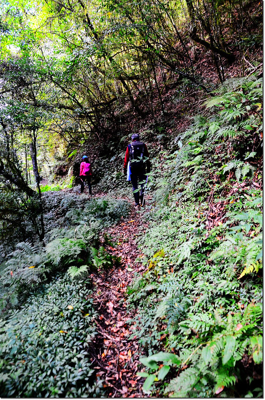
西納基山腰繞路古道
14:53 路右一條小岔路入林上切可接到西納基山半山腰早上09:04經過的的岔路,取左直行。
15:14 接到竹屋涼亭,循早上上來的路徑下山。
西納基山竹屋涼亭
15:20 下抵鎮子堡與西納基山間最低鞍,開始最後一段陡升鎮子堡山的枕木階梯路段。
15:34 重返鎮子堡山,繼續下山。
15:46 返抵登山口,完登鎮子堡~基那吉山原路來回縱走,全程將近9個小時;在登山口整裝後小蔡載我和高兄到竹北搭高鐵返高,結束兩天有點累但圓滿的登山行程。
鎮子堡登山口北眺李棟山
航跡檔:鎮子堡山、西納基山、基那吉山縱走(2016.12.04).gpx
沒有留言:
張貼留言