Royal Arch
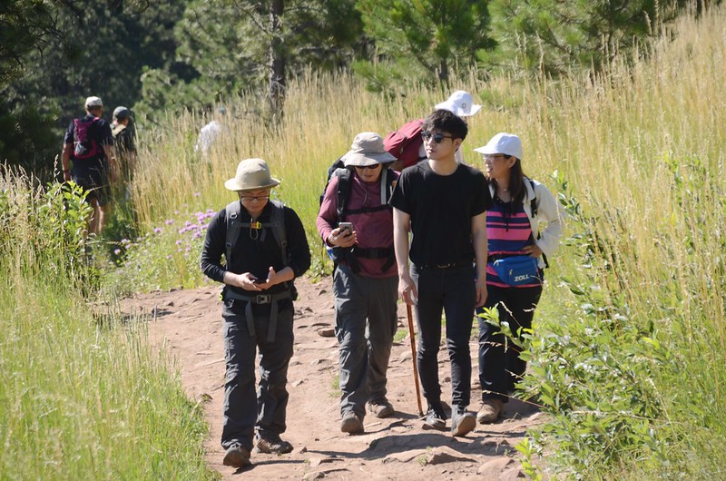
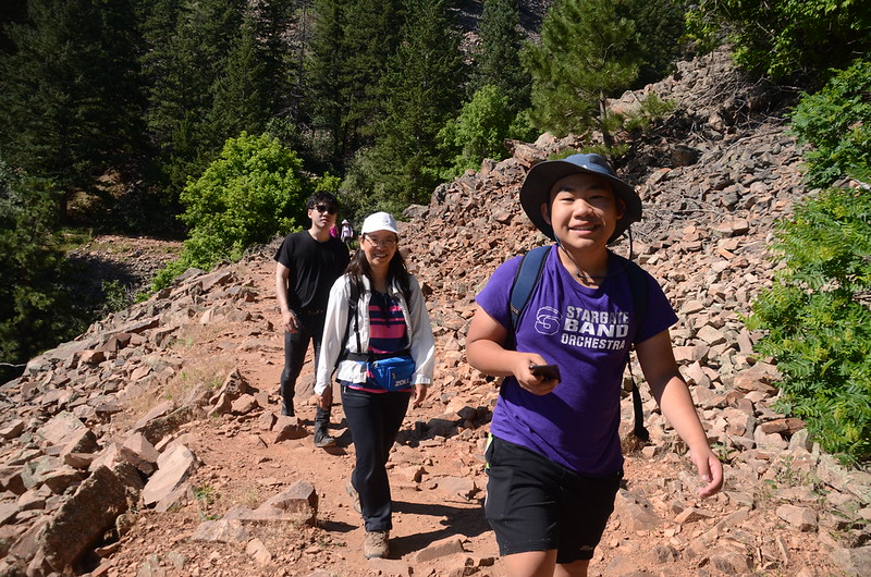
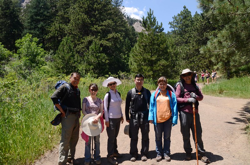
今天和登山隊前去Boulder攀登Royal Arch,登山隊今天分兩組攀登,一組由NCAR (National Center for Atmospheric Research, 國家大氣研究中心)起登,路程較長,總爬升高度也較高;另一組則由Chautauqua Park起登,我和女兒及豆豆、貝貝參加從NCAR起登這一組,早上八點半左右抵達NCAR停車場與其他山友會合。
-------------------------------------------------------------------------------------------------------
Royal Arch:海拔6,960呎/2,121公尺
登山口:NCAR Trailhead (6,095呎/1,858公尺)
登山里程:約5.6哩/8.96公里
總爬升高度:約1,500呎/457公尺
登山時間:5小時20分鐘
-------------------------------------------------------------------------------------------------------
行車資訊:
由丹佛開車沿US-36 往西北行,行至S Boulder Rd出口下交流道,朝Table Mesa Dr前進,0.2 哩後左轉進入S Boulder Rd (Table Mesa Dr 號誌),再行0.2哩後轉為Table Mesa Dr續行,2.2哩後接著走NCAR Rd上山,行約1.0哩抵達NCAR停車場。

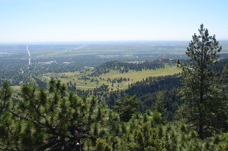
Looking Northwest at Flatirons from NCAR
Looking Northwest at Flatirons from NCAR
步程簡介:
08:50 從位在NCAR西北角的NCAR Trailhead出發,海拔6,095呎/1,858公尺;


NCAR Trailhead
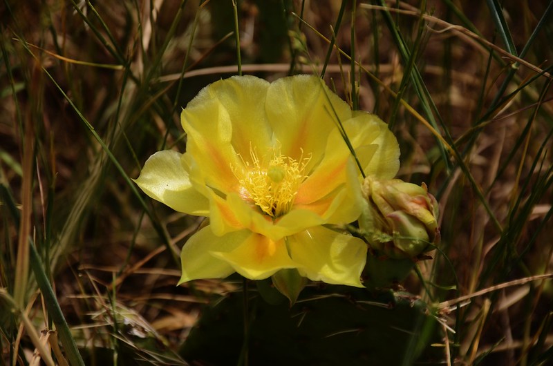
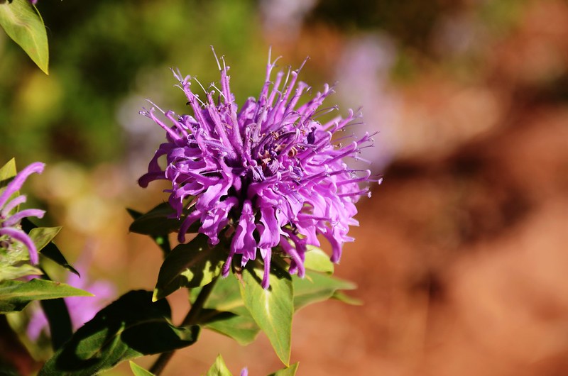
Yellow Cactus Flower
一路沿著NCAR Trail西南行,下到NCAR西邊最低鞍後隨即續往西”之”字形上坡。

NCAR Trail
NCAR Trailhead
Yellow Cactus Flower
一路沿著NCAR Trail西南行,下到NCAR西邊最低鞍後隨即續往西”之”字形上坡。
NCAR Trail
09:12 上抵稜線高點,有一座大型NCAR Water Tank,海拔6,265呎/1,910公尺,距登山口約0.5哩,由左側繞過後開始下坡腰繞。

NCAR Water Tank
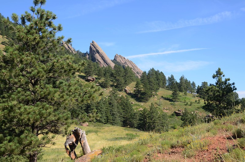
Looking Northwest at Flatirons from NCAR Trail

Looking Southwest at Bear Peak from NCAR Trail
NCAR Water Tank
Looking Northwest at Flatirons from NCAR Trail
Looking Southwest at Bear Peak from NCAR Trail
09:20 抵達NCAR Trailhead與 Mesa Trail岔路,海拔6,216呎/1,895公尺,距登山口約0.7哩;

NCAR Trail & Mesa Trail junction
取右岔沿Mesa Trail北行,沿途野花盛開。

Mesa Trail

Horsemint flowers

Mexican Hat flower


Mesa Trail
NCAR Trail & Mesa Trail junction
取右岔沿Mesa Trail北行,沿途野花盛開。
Mesa Trail
Horsemint flowers
Mexican Hat flower
Mesa Trail
09:50 抵達Mesa Trail和Woods Quarry Trail 岔路,海拔約6,240呎/1,902公尺,此處距NCAR Trailhead與 Mesa Trail岔路約 0.8 哩,距登山口約1.5哩。
正確路線應繼續沿Mesa Trail北行至Chautauqua Park後接上Royal Arch Trail,再循Royal Arch Trail登上Royal Arch,但此岔路正位在Royal Arch之前的Sentinel Pass稜尾,且左岔路Woods Quarry Trail看似寬敞好走,或可直攻Sentinel Pass,大夥兒商量後嘗試循此路走走看。

Mesa Trail & Woods Quarry Trail junction
Mesa Trail & Woods Quarry Trail junction
10:10 抵達一處平台展望點,地圖上標示是Woods Quarry Scenic Overlook,海拔 6,400 呎/1,951公尺,此處距NCAR Trailhead與 Mesa Trail岔路約 1.0 哩,距登山口約1.7哩;發現前已無路,退後數十公尺後取上坡岔路循稜線上行,之後一路沿稜線上行,幾無路跡,全憑著方位判斷自循路線上攀;

Off trail on the Sentinel Pass East ridge

Looking at Flatirons from Sentinel Pass East ridge
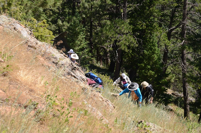
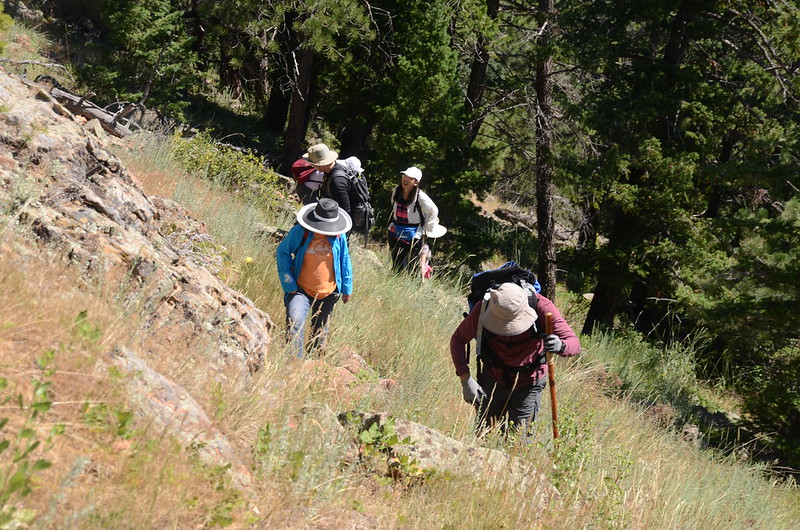

Off trail on the Sentinel Pass East ridge
Taken from off trail on the Sentinel Pass East ridge
待快抵Sentinel Pass鞍部時巨岩阻路,右切入山腰山林間腰繞。


Off trail on the Sentinel Pass East ridge
Off trail on the Sentinel Pass East ridge
Looking at Flatirons from Sentinel Pass East ridge
Off trail on the Sentinel Pass East ridge
Taken from off trail on the Sentinel Pass East ridge
待快抵Sentinel Pass鞍部時巨岩阻路,右切入山腰山林間腰繞。
Off trail on the Sentinel Pass East ridge
11:00 接回Royal Arch Trail,此點已快接近Sentinel Pass鞍部,之後沿著Royal Arch Trail上行。
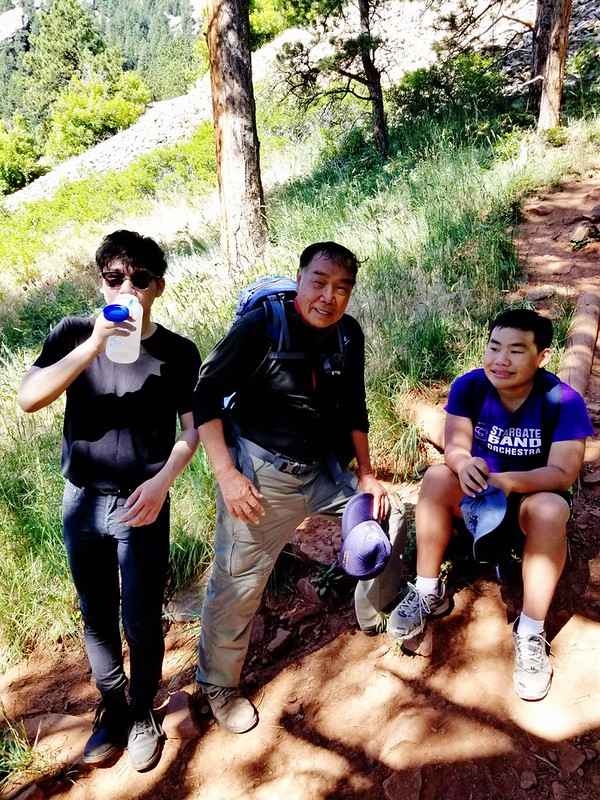
11:04 抵達Sentinel Pass鞍部,海拔6,808 呎/2,075公尺,在此遇到台誕博士、品菁女士等帶領的另一組人馬正要下山,他們從Chautauqua Park開始起登;
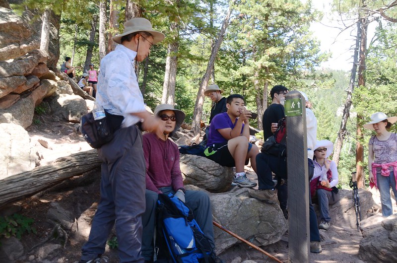
Sentinel Pass
在此小休後續行。
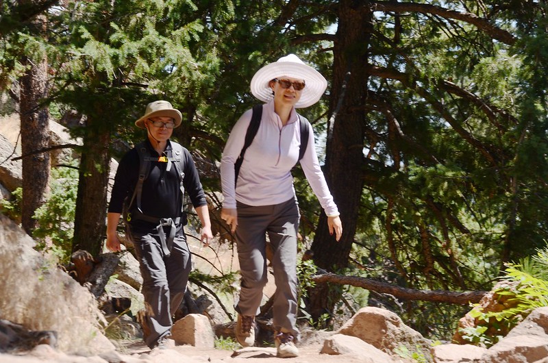
Royal Arch Trail
Sentinel Pass
在此小休後續行。
Royal Arch Trail
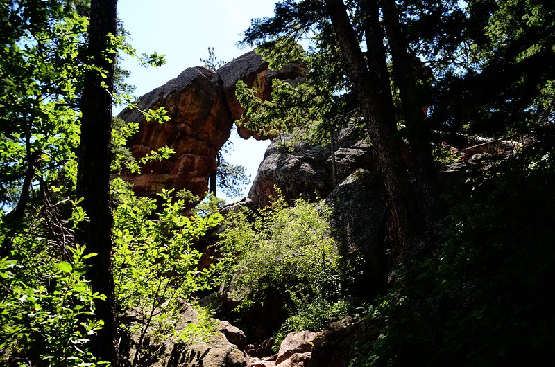
11:30 抵達Royal Arch,海拔6,960呎/2,121公尺,此點已來過多次,以前都是由Chautauqua Park沿Royal Arch Trail上來,輕鬆多了,此次由NCAR起登比較辛苦;


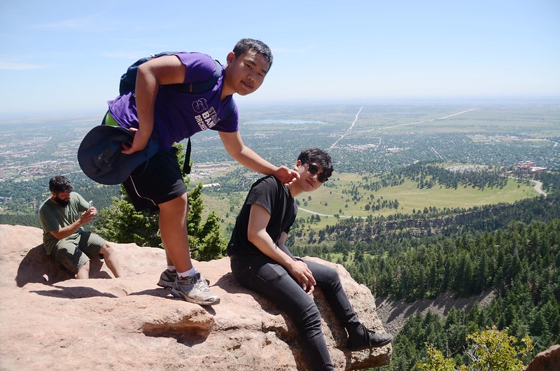

Royal Arch
在拱門下拍照休息後下山,下山時預計沿Royal Arch Trail下到Chautauqua Park後再轉Mesa Trail回NCAR。

Looking down at NCAR from Royal Arch
Royal Arch
在拱門下拍照休息後下山,下山時預計沿Royal Arch Trail下到Chautauqua Park後再轉Mesa Trail回NCAR。
Looking down at NCAR from Royal Arch
11:50 下山。
12:20 回到Sentinel Pass鞍部小休後續沿Royal Arch Trail下山。

Me & Matthew、Jacob on the Sentinel Pass
Me & Matthew、Jacob on the Sentinel Pass
13:05 回到Chautauqua Park的Royal Arch Trailhead。
Royal Arch Trailhead
Royal Arch Trailhead
13:10 下抵Mesa Trail 和 Royal Arch Trail的岔路口,此處海拔6,000呎/1,829公尺,為考慮部分山友的體力,我請幾位山友在Chautauqua Park休息等候,我和阿財沿Mesa Trail回NCAR開車回到Chautauqua Park載他們。
14:10 返抵NCAR取車後回到Chautauqua Park載山友返家,結束今天的登山行程!
沒有留言:
張貼留言