搜尋此網誌

2017/08/04

登Crater Lakes賞花行(2017.08.01)

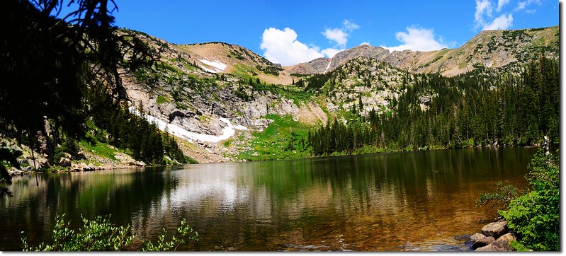
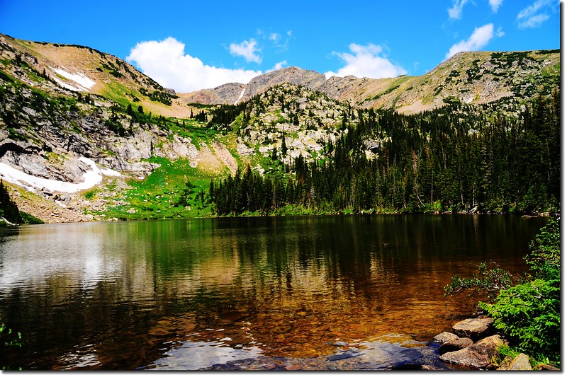
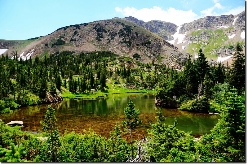
South Crater Lake 3
South Crater Lake 


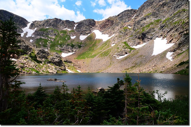
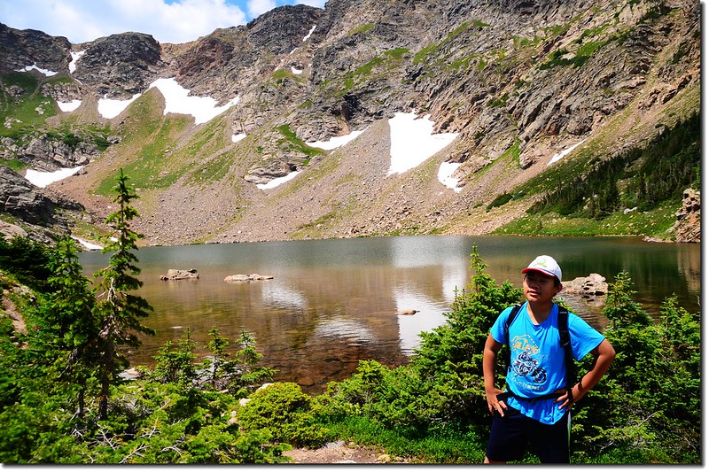
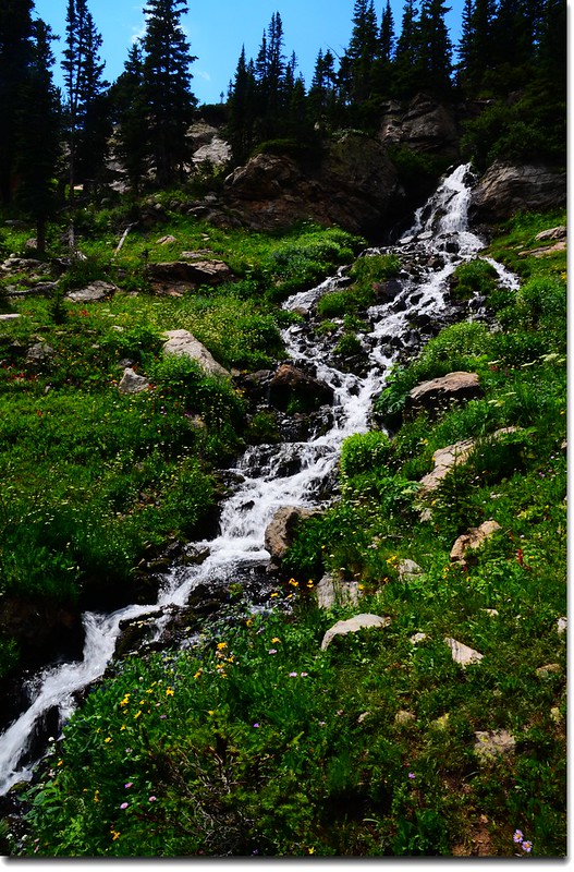
Crater Lakes位在James Peak Wilderness範圍內,是一處五個高山湖構成的登山景點,登山口在Rollinsville西邊約7.5哩處屬於Union Pacific Railroad火車隧道東入口(Moffat Tunnel)East Portal TrailheadCrater Lakes五個湖的分佈可分為上、中、下三層,最下層一個湖位在中層南、北兩湖出水口下方,因為較偏遠,且路徑陡峭較少人前往;中層有兩個湖,因分處南、北兩方位,故稱為南湖(South Crater Lake)跟北湖(North Crater Lake),這兩湖是一般遊客必到的地方,而一般所稱的Crater Lakes大概就是指這兒,北湖四周的森林空地是非常理想的露營營地;最上層距中層雖只約0.5哩,但因爬昇甚高、路徑陡峭,所以也較少人攀登,最上層也有兩個湖略呈東西向排列,登上此地不但居高臨下,而且沿途有盛開野花依偎著小瀑流水,景色極為迷人。

該湖區我已登臨多次,且五個湖均已造訪過;小孫子貝貝也跟我爬過中間的南、北兩湖,前天祖孫倆又去登此湖區,這次又多走了Upper Crater Lakes的東、西兩湖,下湖則因怕時間太晚且路跡較不清楚而沒下去造訪。

---------------------------------------------------------------------------------------------------------
攀登湖泊:
Middle Crater Lakes—
       North Crater Lake(10,600
/3,231公尺)
       South Crater Lake(10,575
/3,223公尺)
Upper Crater Lakes—
       East Lake (11,050
/3,368公尺)
       West Lake (11,100
/3,383公尺)
登山口East Portal Trailhead(海拔約9,220/2,810公尺)
登山里程:來回約7.5(12公里)
爬升高度:約1,950(594公尺)
登山時間6小時20

---------------------------------------------------------------------------------------------------------
行車資訊:
BoulderBoulder Canyon Road(CO 119)西行,16哩後抵Nederland小鎮,接Peak To Peak 景觀公路(CO 119, CO 72)南下,行4.8哩抵Rollinsville,右轉E. Portal road (Rollins Pass) 西行,約7.5哩後行車終點(Moffat Tunnel)即為登山口,此處是Union Pacific Railroad火車隧道的東入口。

步程簡述:
09:50
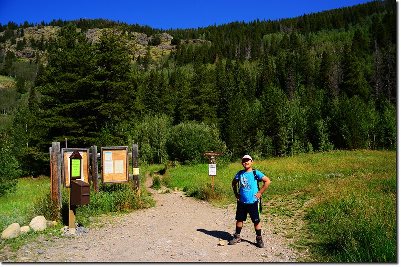
East Portal Trailhead(海拔約9,220)South Boulder Creek Trail的指示牌沿步道前進;
East Portal Trailhead
Moffat Tunnel - East Portal


先經一小段狹小步道後進入寬敞的舊車道沿著South Boulderreek西進,沿途夾雜著雲杉、冷杉、白楊木和草原。
10:00
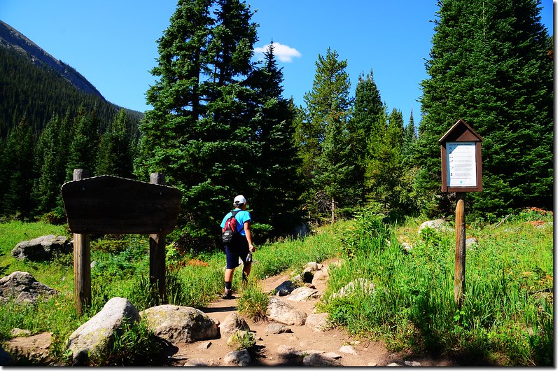
經過James Peak Wilderness 界碑(木牌告示)(距登山口約0.25 )
Entering James Peak Wilderness area


10:30 抵達Arapaho Lakes Forest Lakes Trail 岔路(距登山口約1.25 哩,海拔約9,555),右往Arapaho Lakes
Forest Lakes,左往South Boulder Creek TRCrater Lakes TR,取左直行。
Forest Lakes & South Boulder Creek Trail fork


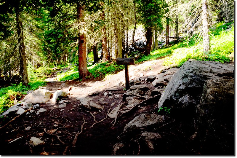
10:57 抵達Crater Lakes Trail 岔路(距登山口約1.95 哩,海拔約9,930),左往South Boulder Creek TRRogers Pass,右往Crater Lakes,取右在森林中盤升;
Crater Lakes & South Boulder Creek Trail fork


此後步道轉為較陡峭,偶有大岩石、難走地形,如此路段大約有0.7哩,直到稜線平緩地形。
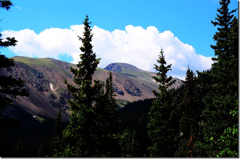
James Peak from Crater Lakes Trail
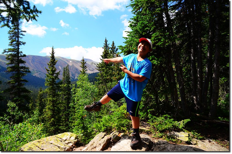
Taken from a James Peak viewpoint


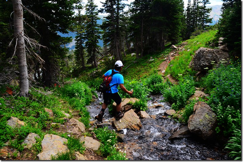
11:47 抵達Crater Lakes南湖出水口(距登山口約2.85 哩,海拔約10,543)
South Crater Lake outlet


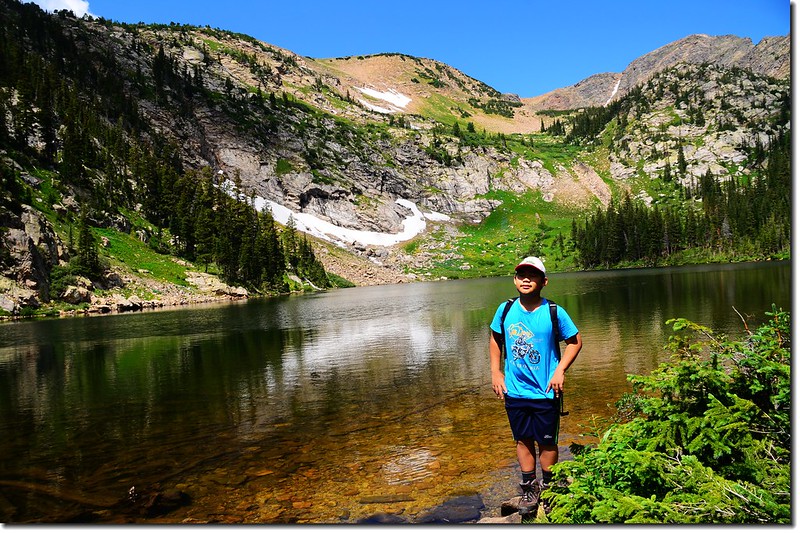
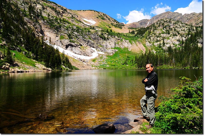
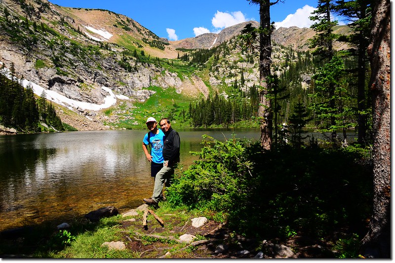
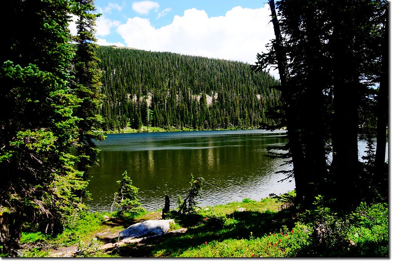
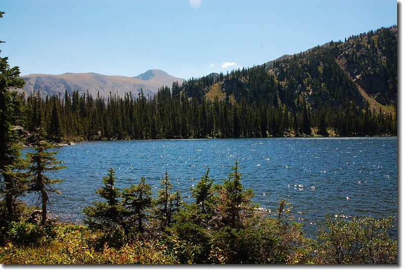
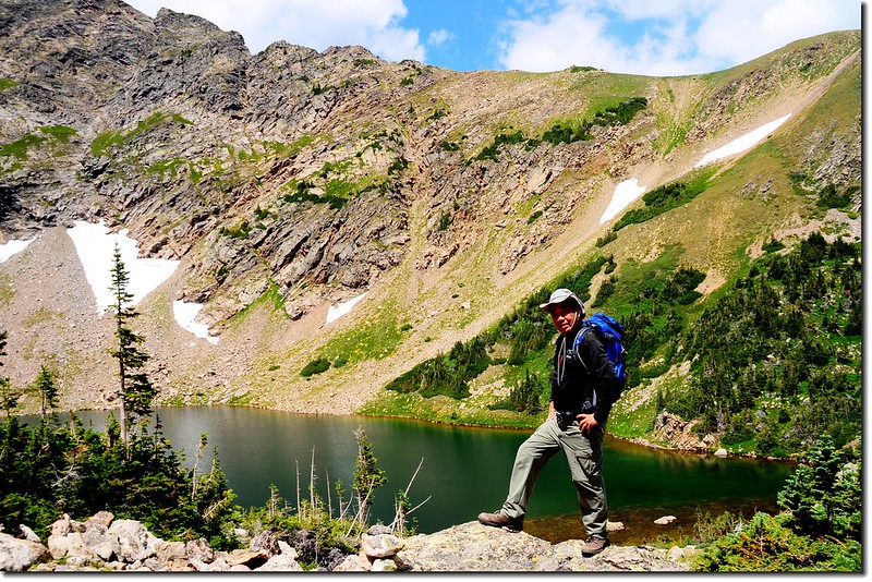
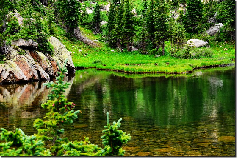
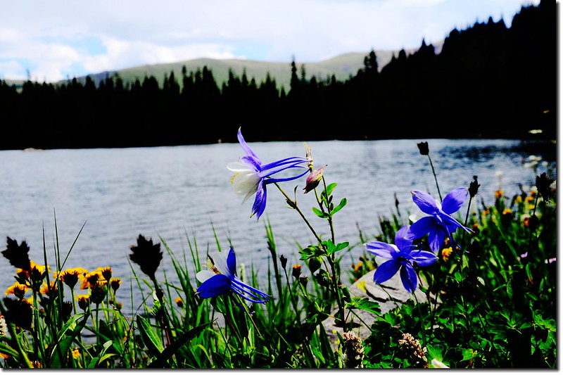
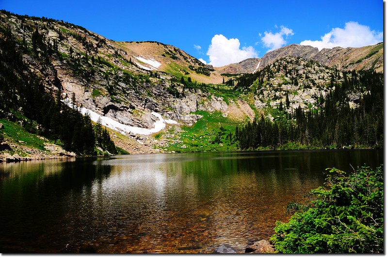
11:52  抵達South Crater Lake (距登山口約3.00 哩,海拔約10,575)
South Crater Lake 2
South Crater Lake 4
South Crater Lake 
Taken from South Crater Lake 1
Taken from South Crater Lake 5
Taken from South Crater Lake 2
Taken from South Crater Lake 


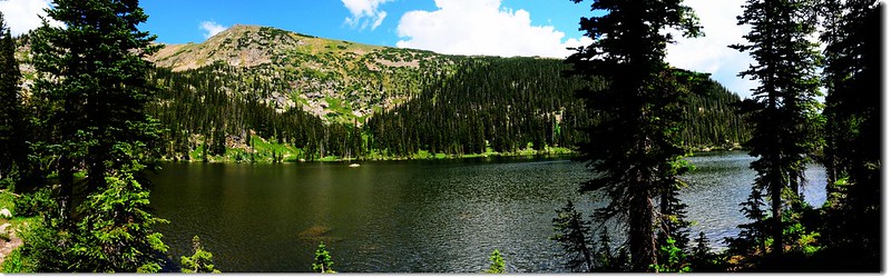
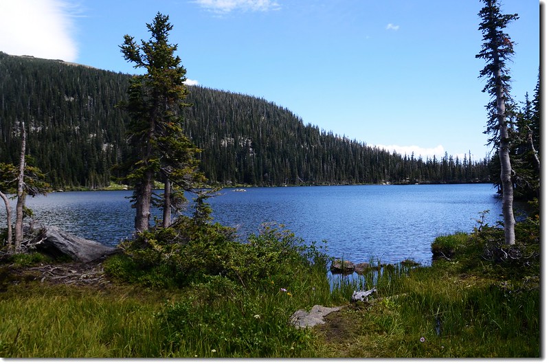
12:10 South Crater Lake 北岸越過一小段步道即抵達North Crater Lake (距登山口約3.05 哩,海拔約10,600)North Crater Lake是此處最大的一座湖,四周有多處營地,在此午餐。
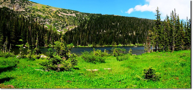
North Crater Lake 2
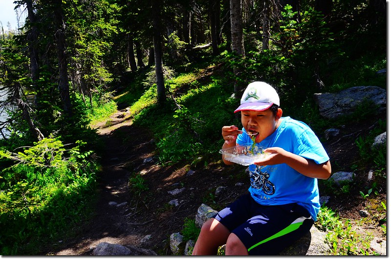
North Crater Lake 1
North Crater Lake 3
North Crater Lake 5
Middle Crater Lake(north) 9
North Crater Lake 
Eating by North Crater Lake


12:40 前往Upper Crater Lake;在South Crater LakeNorth Crater Lake中間稜線的西北方有一座海拔約11,130呎的山崙高地,由North Crater LakeUpper Crater Lake有兩條路徑,一條是在11,130呎山崙高地的右側(),先沿North Crater Lake西北岸走到遇小溪處左上切,路徑在小溪邊上登,有點陡峭難行;另一條則是在11,130呎山崙高地的左側(),由山崙左側碎石坡朝上往鞍部陡升。前兩次登Upper Crater Lake都是走北側路線,今天嘗試走南側路線。
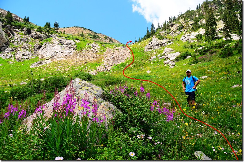
Blooming wildflowers along the trail (1)-1
Lead to Upper Crater Lakes


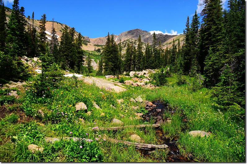
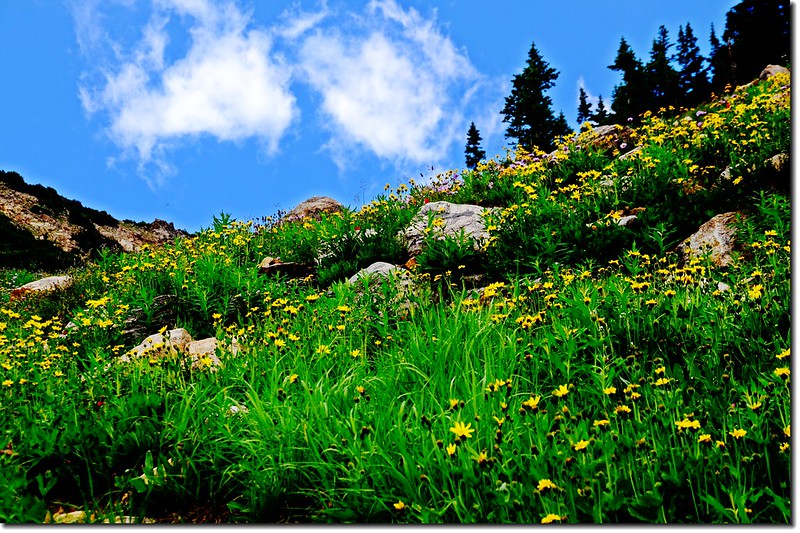
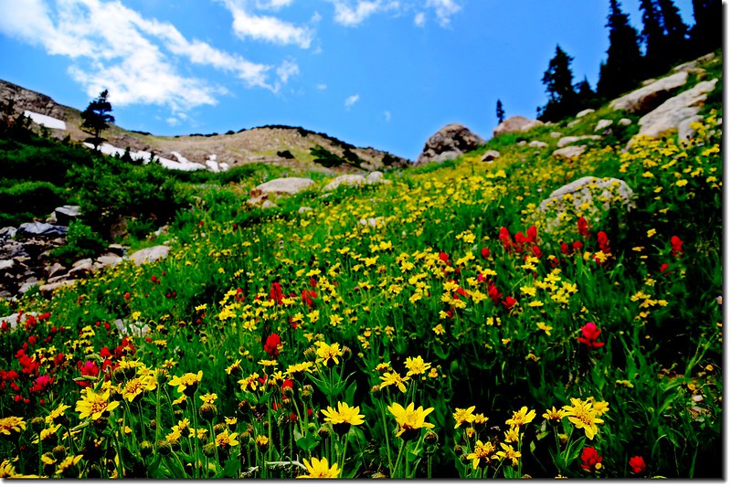
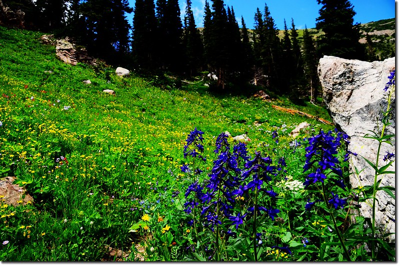
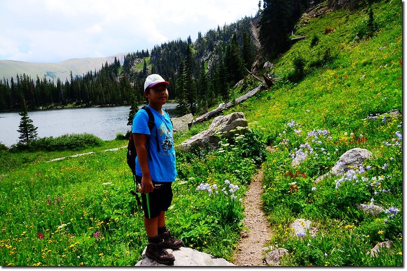
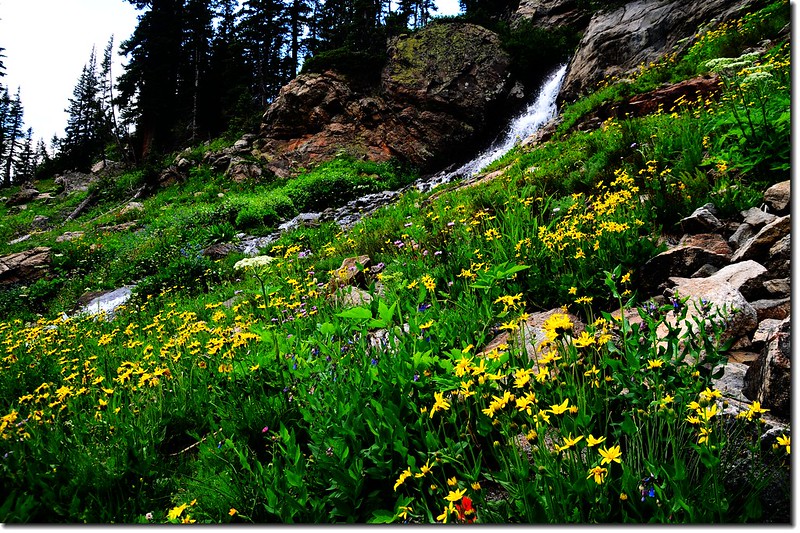
南側路線很陡,但野花很多且正在盛開,美極了!
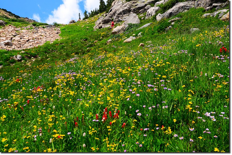
Blooming wildflowers along the trail (2)
Blooming wildflowers along the trail (3)
Blooming wildflowers along the trail (4)
Blooming wildflowers along the trail 


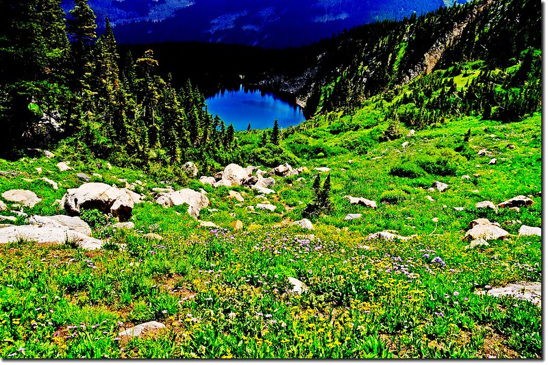
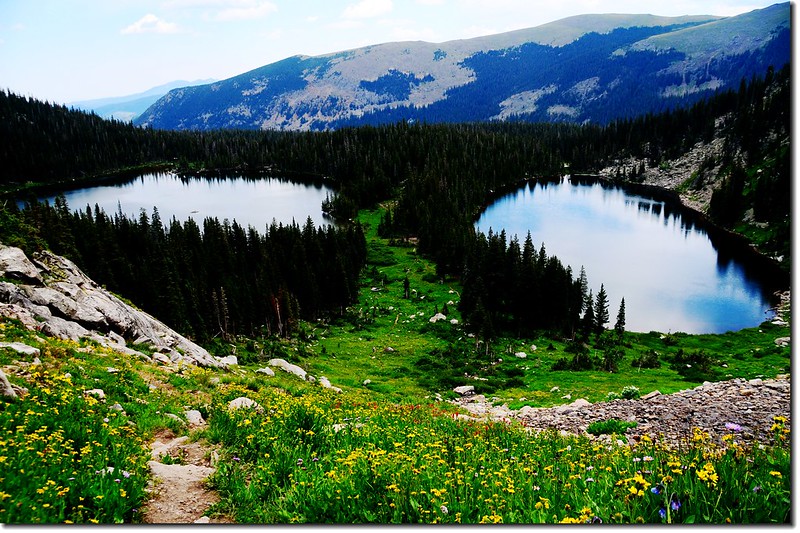
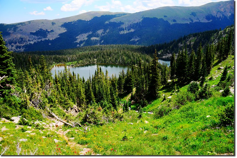
步道越往上升視野越好,俯瞰North Crater LakeSouth Crater Lake平躺在森林環抱中。

Blooming wildflowers along the trail (5)-1
Looking down Crater Lakes from high point
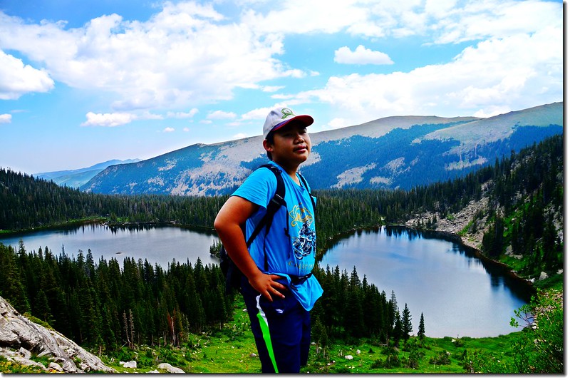
Taken from Crater Lakes Trail high point 2
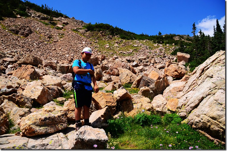
Taken from Crater Lakes Trail high point 1
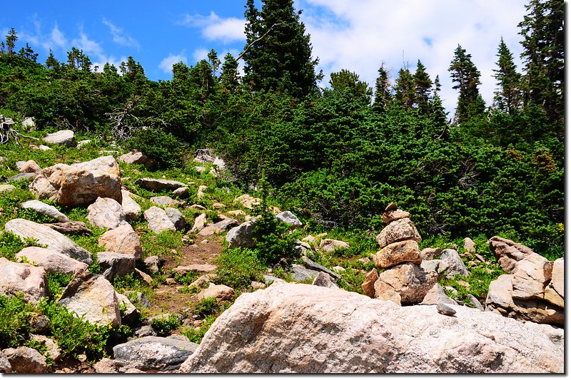
Taken from Crater Lakes Trail high point 
A talus field near the ridge 1
A talus field near the ridge 2
A talus field near the ridge 


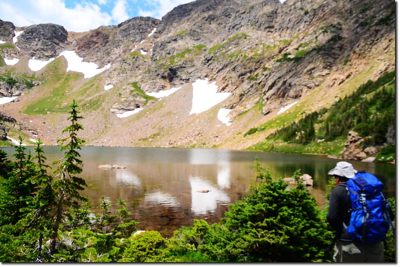
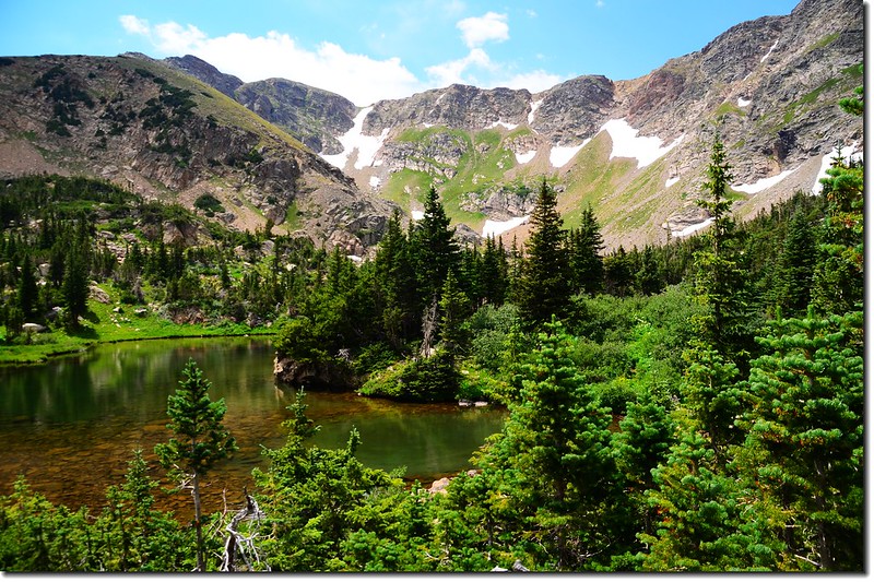
13:30 上抵11,130呎山崙高地的左側()鞍部,此處海拔約11,100呎,Upper Crater LakeWest Lake就平臥在北側約一百來多呎的山腳下。
Looking down at upper lake from the ridge 2
Looking down at upper lake from the ridge 3
Looking down at upper lake from the ridge 


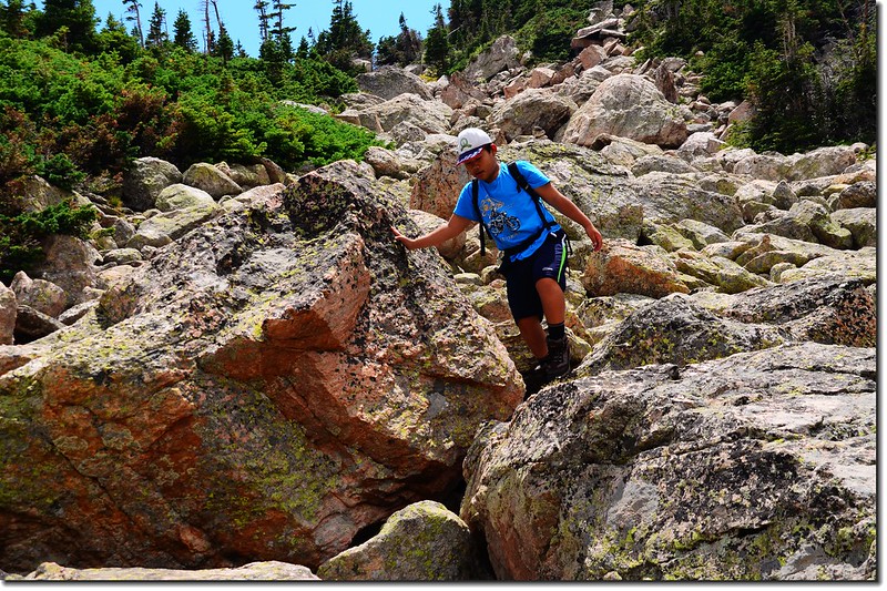
稜線鞍部要下到山腳下的West Lake是不算很陡的巨石坡,下切不算難,不用10分鐘即抵達湖岸;
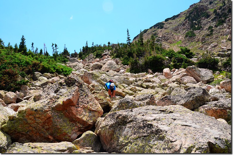
Hiking down the talus field 1
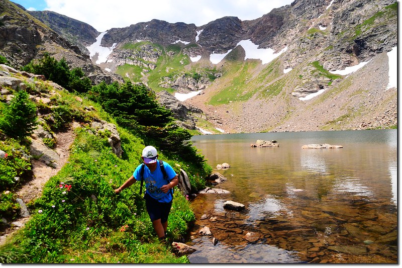
Hiking down the talus field 2
Hiking down the talus field 
Upper Crater Lakes (west) 1
Upper Crater Lakes (west) 3
Upper Crater Lakes (west) 5
Upper Crater Lakes (west) 4
Upper Crater Lakes (west) 2
Upper Crater Lakes (west) 


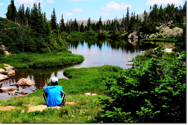
繞過湖岸下到稍低一點的East Lake,海拔約在11,000尺左右;
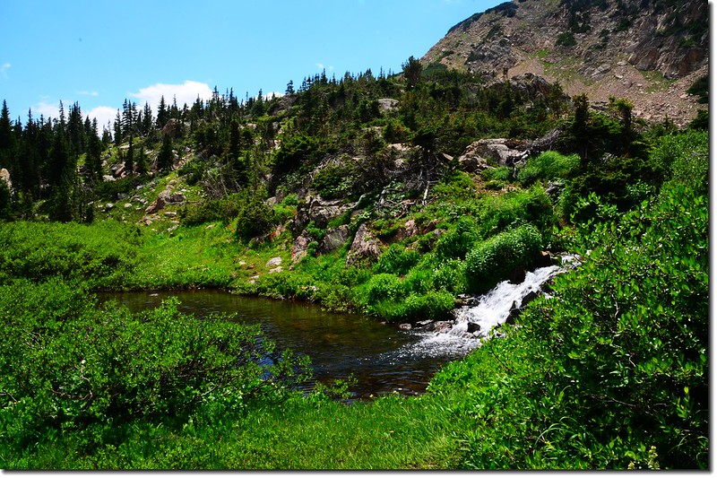
Cascade
Cascade at West Upper Crater Lake below


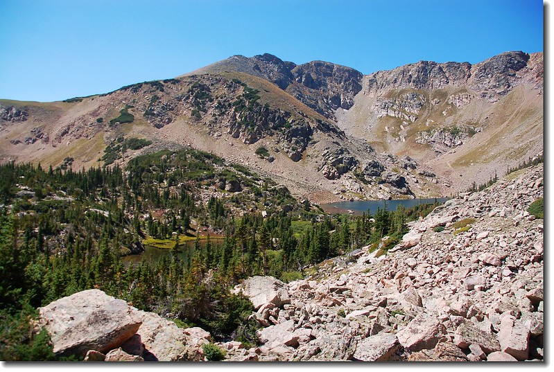
East LakeWest Lake小了許多,是一座小而美的小湖!
Upper Crater Lakes (east) 1
Upper Crater Lakes (east) 2
Upper Crater Lakes (east) 6
Upper Crater Lakes (east) 5
Upper Crater Lakes (east) 4
Upper Crater Lakes (east) 
Upper Crater Lakes
Upper Crater Lakes


14:00 下山,沿著East Lake東岸直接下切,回程走11,130呎山崙高地的北側路線下山。
Overlook middle Crater Lakes from upper lakes 1
Overlook middle Crater Lakes from upper lakes 
Blooming wildflowers along the trail (6)
Cascade along the trail
From upper lakes down to middle lakes


14:24 下抵North Crater Lake西北角湖岸,再沿North Crater Lake西北岸回到南、北兩湖間的森林稜線剛好走了一個環線(loop)O走。
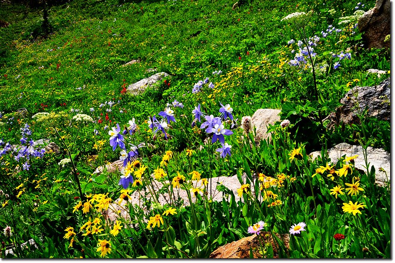
Blooming wildflowers along the trail (7)
Blooming wildflowers along the trail (8)
Blooming wildflowers along the trail 
North Crater Lake 4
North Crater Lake 5
North Crater Lake 


14:30 循原路下山,於16:10回到登山口,開車回家。


★ 行車路線圖


點此看放大圖

2017/08/03

登Boulder小鎮1st. & 2nd. Flatiron Trail(2017-07-31)

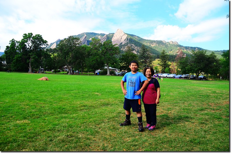
Chautauqua Park
Chautauqua Park


登山步道1st. & 2nd. Flatiron Trail


登山口Chautauqua Ranger Cottage(海拔5,710呎/ 1,740公尺)

步道頂端:海拔7,132呎(2,174公尺)

登山里程:來回約2.6哩(4.16公里)

爬升高度1,422呎(433公尺)

登山時間2小時40分鐘

------------------------------------------------------------------------------------------------------

步程簡述:
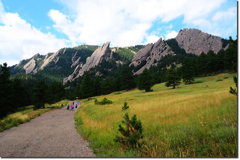
09:40 由Chautauqua Park的Ranger Cottage出發,沿Ranger Cottage西側的寬大土石道路Bluebell Road朝西南上行;
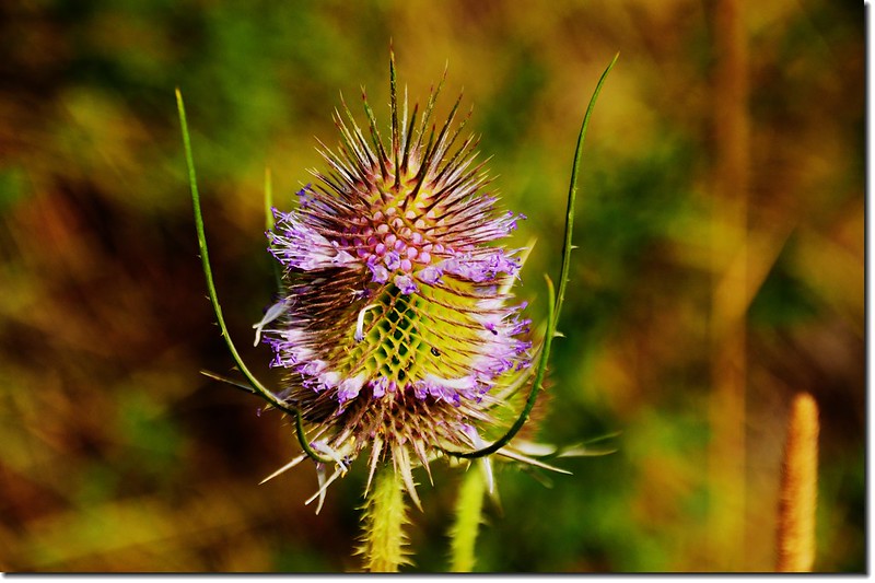
Wild Teasel 2
Wild Teasel 1
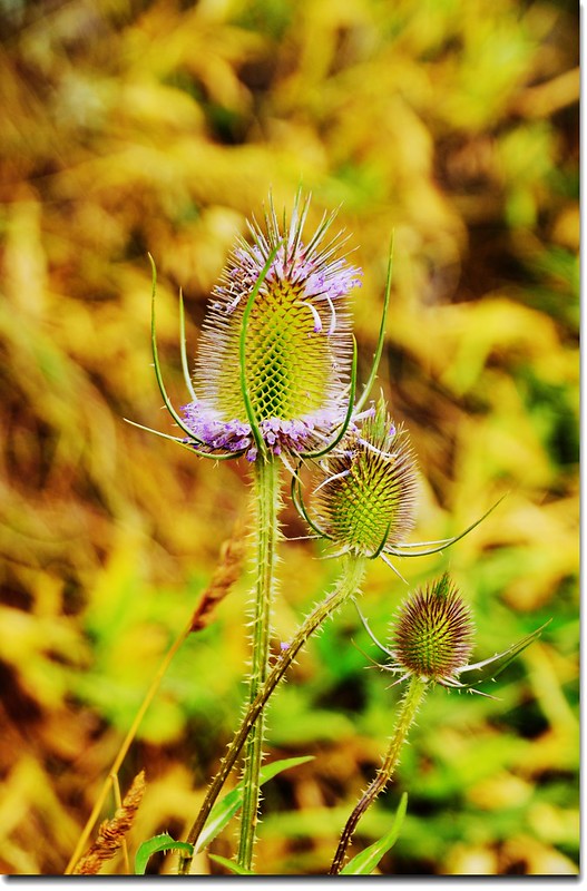
Wild Teasel 
Bluebell Road 1
Bluebell Road
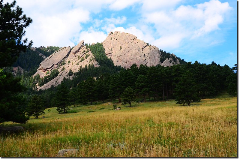
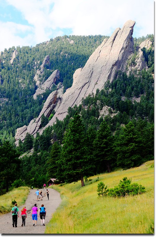
Flatirons from Bluebell Road 4
Flatirons from Bluebell Road 3
Flatirons from Bluebell Road
The 3rd Flatiron from Bluebell Road
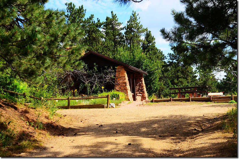
Bluebell shelter
Bluebell shelter


行約0.4哩遇Royal Arch Trail登山口;

Royal Arch Trailhead


取右上小徑往Flatirons Trail北上;

Flatirons Trail
Flatirons Trail


再行約0.1哩上到稜線松林中遇到Bluebell-Baird Trail,此稜線是第二座(2nd) Flatiron下方的稜線。


10:18 抵達Bluebell-Baird Trail,左右均為Bluebell-Baird Trail,直上為“To Flatirons Climbing Access”,取直行上山。
Bluebell-Baird Trail & Flatirons Climbing Access fork


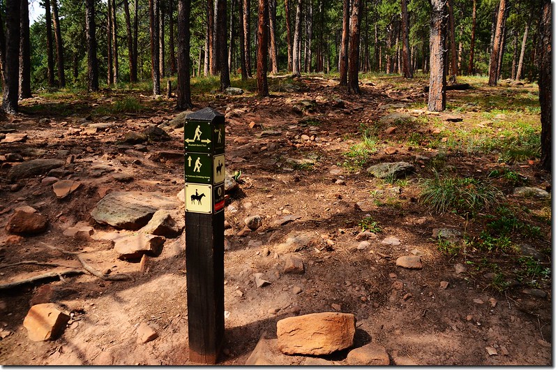
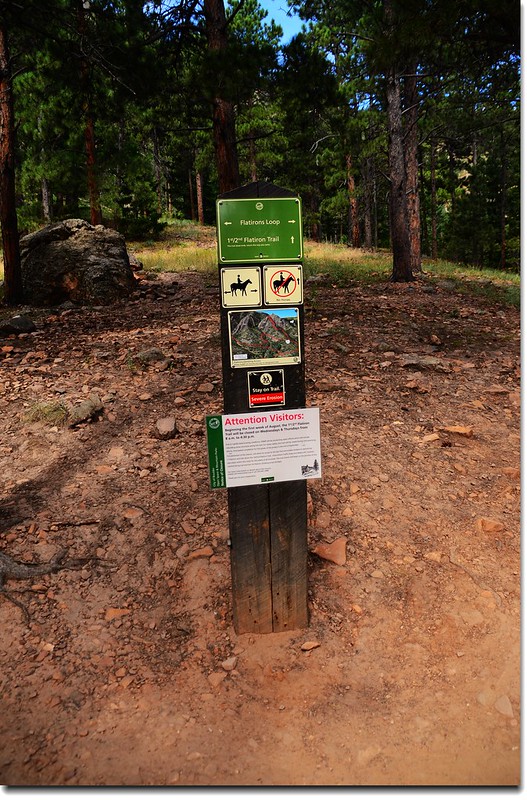
10:22 小徑再行約0.1哩抵達Flatirons Loop步道,左右均為Flatirons Loop步道,直上為1st /2nd Flatiron Trail;取直行上山。
Flatirons Loop & 1st、2nd Flatiron Trail fork


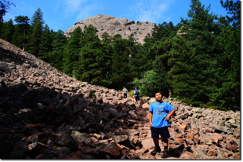
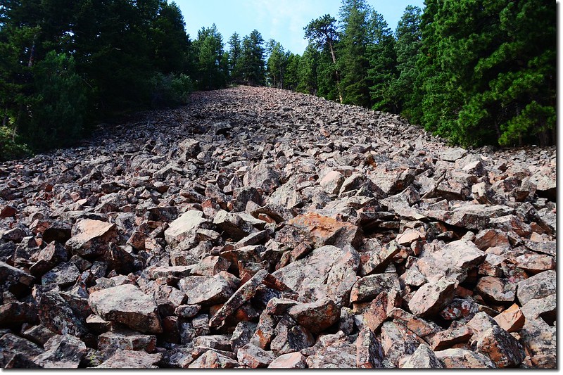
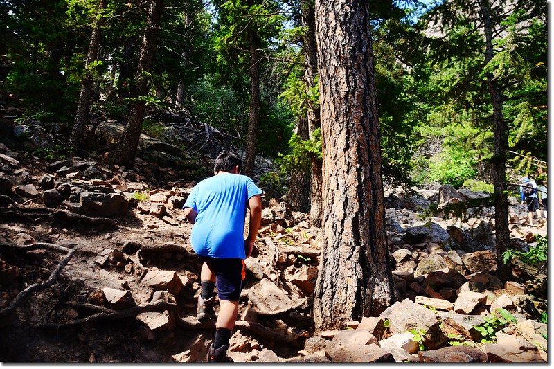
10:27 抵達一大片碎石坡,此大片碎石坡是第二座(2nd) Flatiron下方的西北面坡,步道開始在岩石坡間“之”字盤升。
The trail through a long talus field
A long talus field between 1st & 2nd Flatiron
1st & 2nd Flatiron Trail 1
1st & 2nd Flatiron Trail


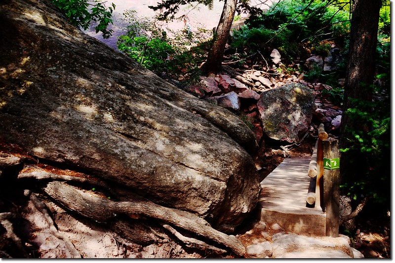
10:36 小徑右側一座木橋是要攀爬第一座(1st) Flatiron的攀岩路線,由Flatirons Loop步道岔路到此約0.2哩;
1st Flatiron climbing access spur
First Flatiron
First Flatiron from climbing access spur


取左小徑續上。

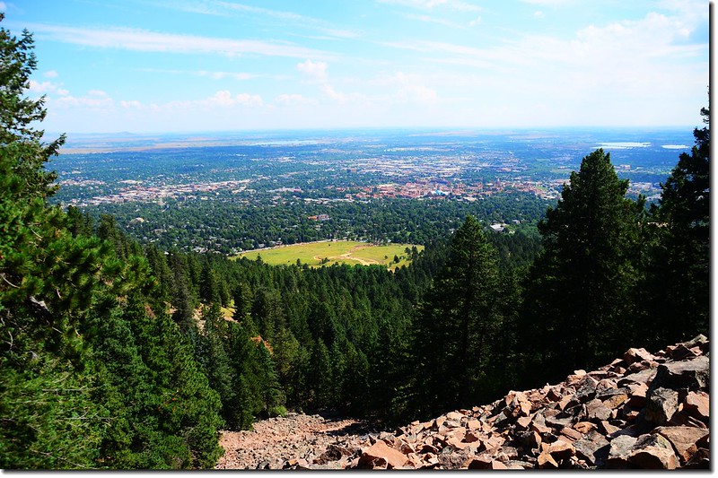
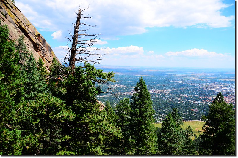
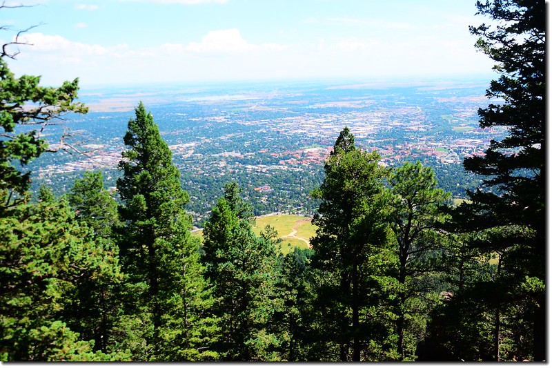
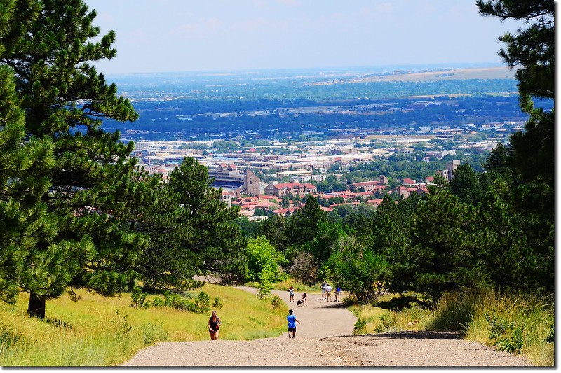
Overlooking Boulder downtown from the talus field 2
Overlooking Boulder downtown from the talus field 1
Overlooking Boulder downtown from the talus field
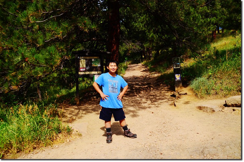
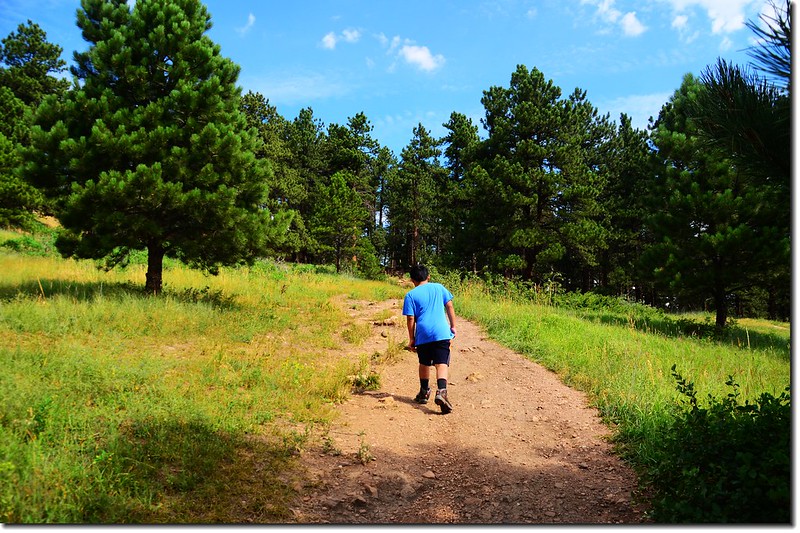
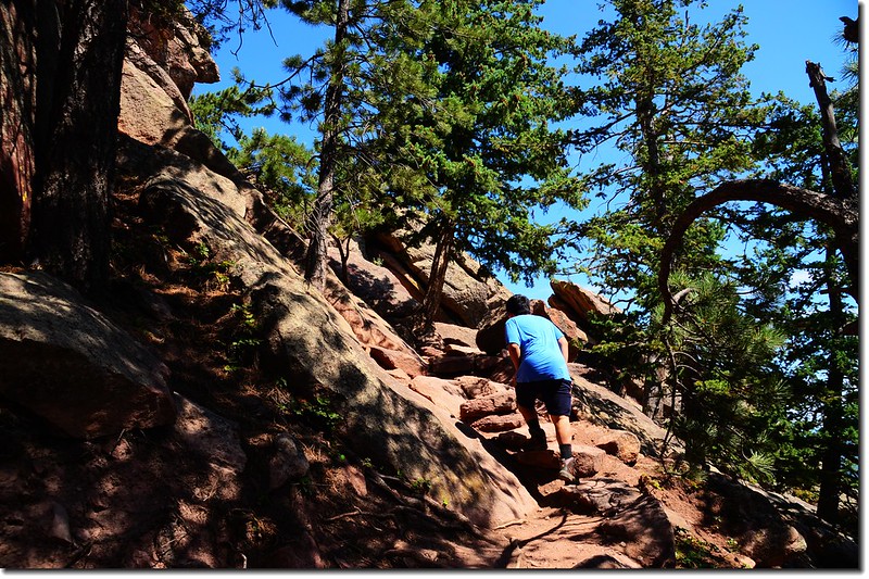
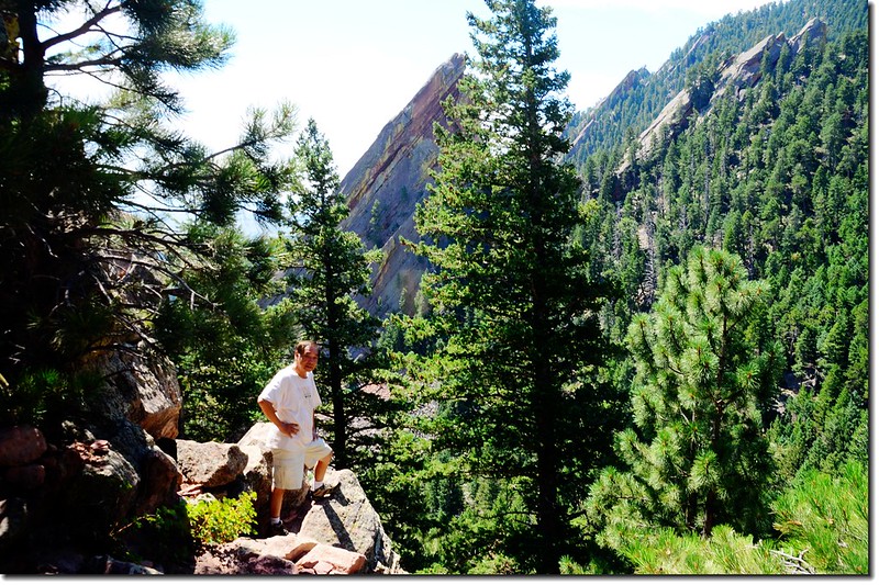
Jacob hike up through the talus field


10:45 上到將達抵岩石坡頂端時越嶺繞過稜線在另一坡面繼續盤升上山,此波面即是第二座(2nd) Flatiron下方的東南坡。
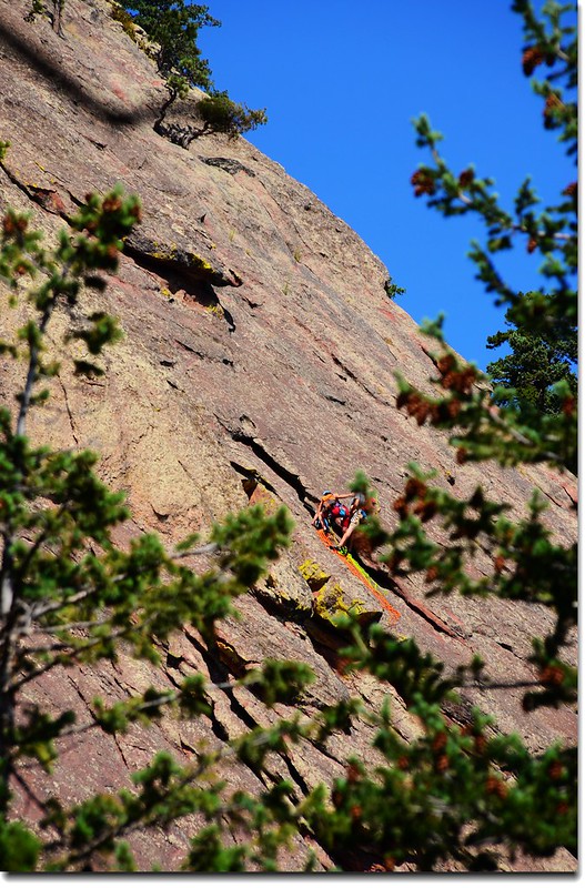
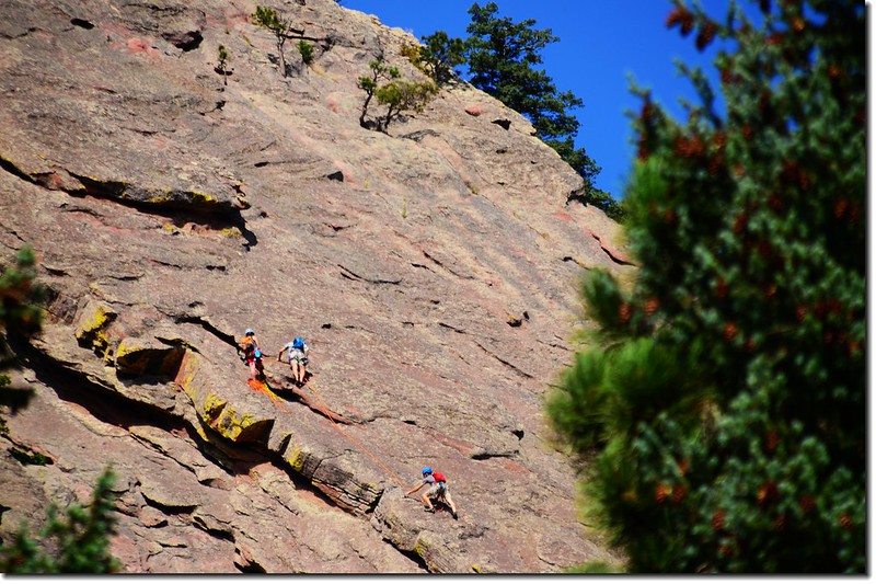
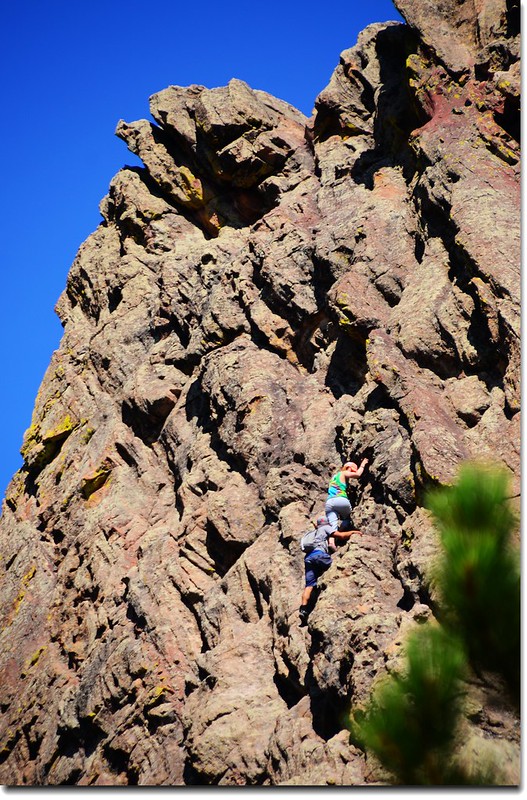
Rock Climbers on the First Flatiron 2
Rock Climbers on the First Flatiron 1
Rock Climbers on the First Flatiron 3
Rock Climbers on the First Flatiron 4
Rock Climbers on the First Flatiron
1st & 2nd Flatiron Trail 2
1st & 2nd Flatiron Trail


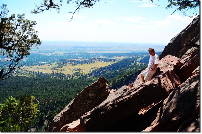
10:55 再越過稜線回到岩石坡(第二座Flatiron下方的西北面坡)這一坡面,越嶺處岩石上有極佳展望,可在此小休;
Taken from the 2nd Flatiron below 3
Taken from the 2nd Flatiron below 
Taken from the 2nd Flatiron below 1
Taken from the 2nd Flatiron below 2
Taken from the 2nd Flatiron below
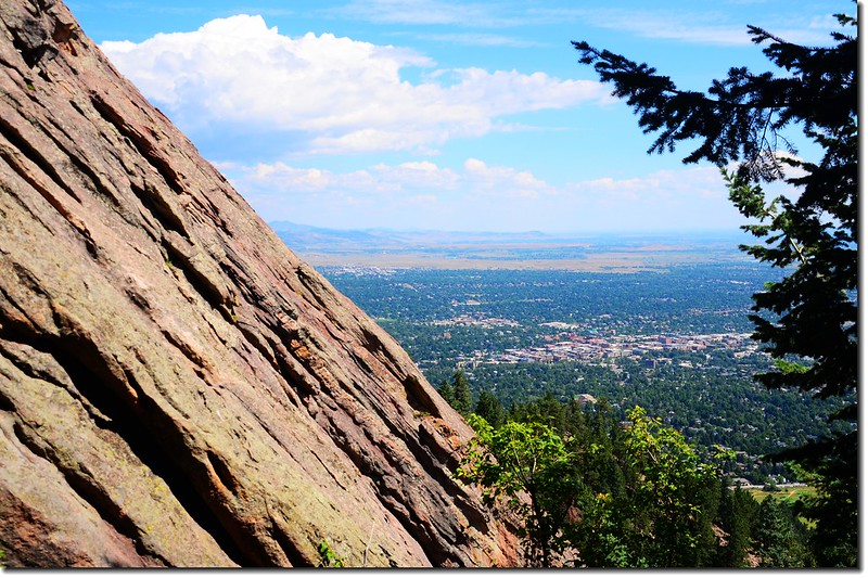
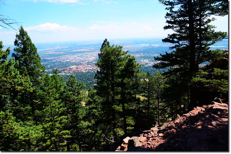
Overlooking Boulder downtown from the trail


休息後再一路在第二座Flatiron下方的西北面坡“之”字盤升。

The First Flatiron as seen from the 2nd Flatiron access trail 1
The First Flatiron as seen from the 2nd Flatiron access trail


11:15 登上最高點,最高點介於1st.Flatiron和2nd Flatiron的中間鞍部,從第一座(1st) Flatiron的攀岩路線木橋到登頂里程約0.5哩,從Chautauqua Park Ranger Station到登頂計約1.3哩。
The First Flatiron as seen from the 2nd Flatiron access trail 2
Rock Climbers on the First Flatiron 5
The First Flatiron as seen from the 2nd Flatiron access trail
The First Flatiron as seen from the 2nd Flatiron access trail 3
The First Flatiron as seen from the 2nd Flatiron access trail
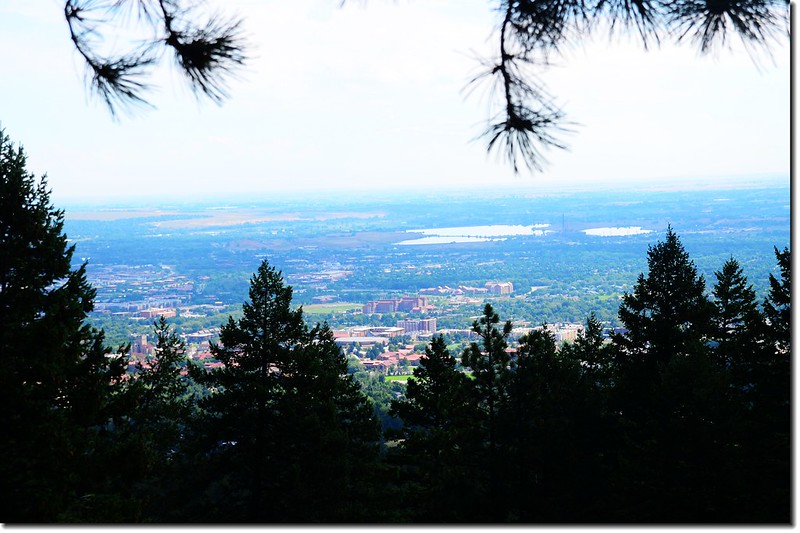
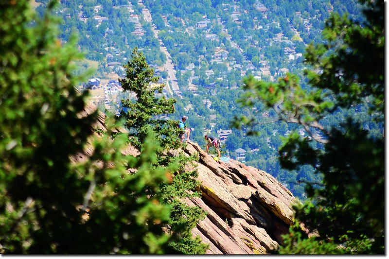
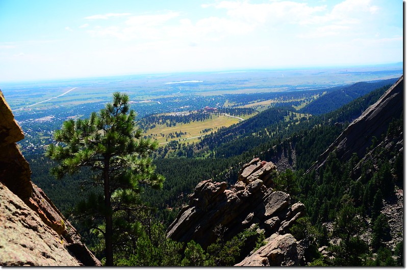
Looking down toward Boulder downtown from The notch between the first and second flatiron 4
Looking down toward Boulder downtown from The notch between the first and second flatiron 1
Looking down toward Boulder downtown from The notch between the first and second flatiron 5
Looking down toward Boulder downtown from The notch between the first and second flatiron
Taken from The notch between the first and second flatiron 1
Taken from The notch between the first and second flatiron 2
Taken from The notch between the first and second flatiron


小心攀上2nd Flatiron的岩石上有不錯的展望;
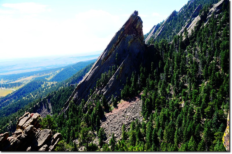
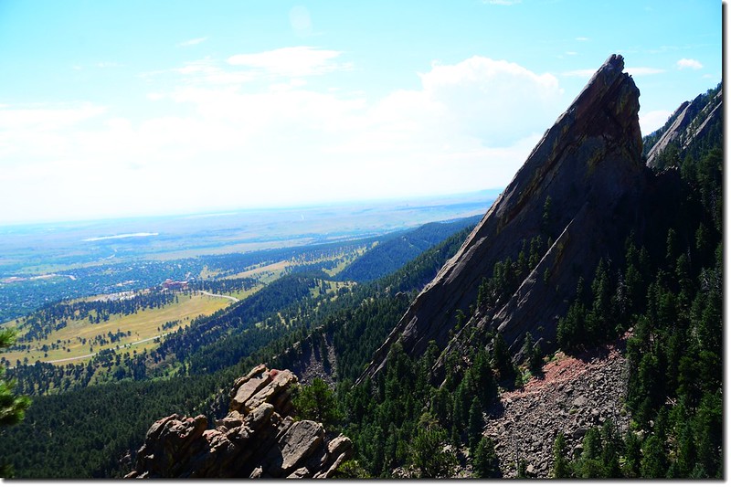
The Third Flatiron as seen from the top of the 1st & 2nd Flatiron Trail
Looking south at NCAR from the 2nd Flatiron
Looking south at NCAR & 3rd Flatiron from 2nd Flatiron
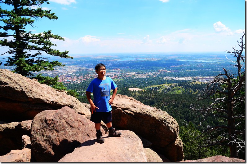
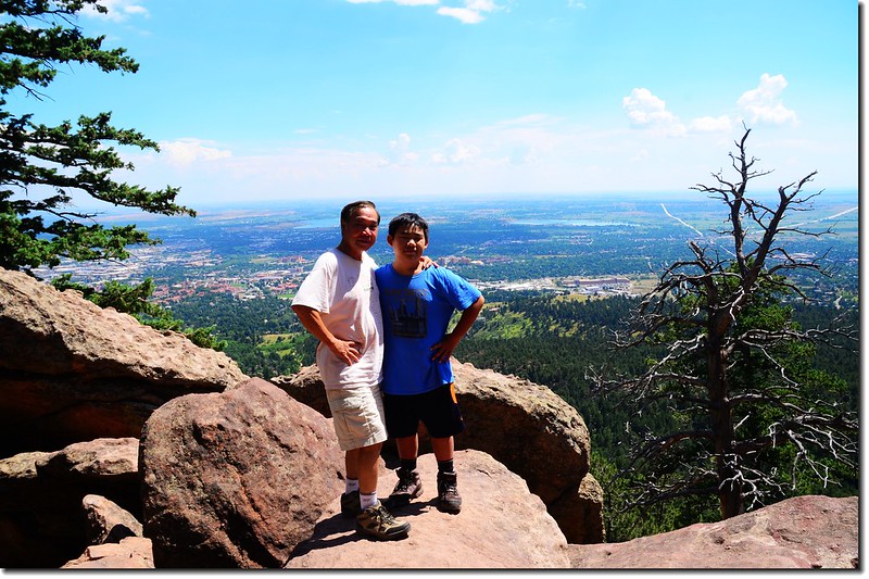
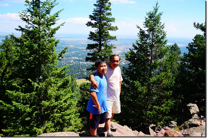
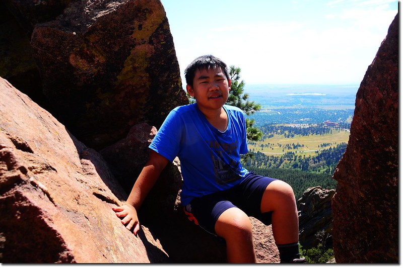
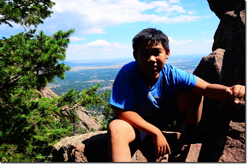
Jacob on the Second Flatiron 2
Jacob on the Second Flatiron 1
Jacob on the Second Flatiron


此路線第一次攀登已是十多年前的事了,在山頂小休後循原路下山。


12:20 回到Chautauqua Ranger Cottage,全程登山時間約2小時40分鐘。
Bluebell Road 2
Bluebell Road