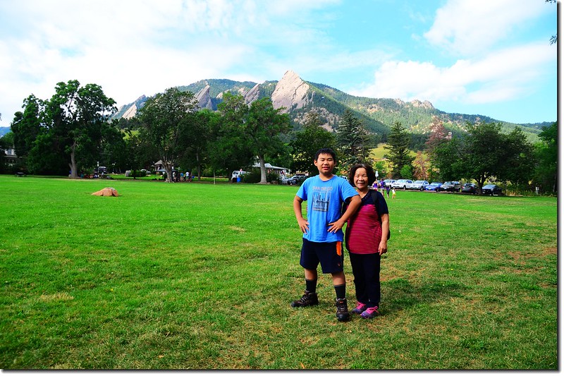
Chautauqua Park
登山步道:1st. & 2nd. Flatiron Trail
登山口:Chautauqua Ranger Cottage(海拔5,710呎/ 1,740公尺)
步道頂端:海拔7,132呎(2,174公尺)
登山里程:來回約2.6哩(4.16公里)
爬升高度:1,422呎(433公尺)
登山時間:2小時40分鐘
------------------------------------------------------------------------------------------------------
步程簡述:
09:40 由Chautauqua Park的Ranger Cottage出發,沿Ranger Cottage西側的寬大土石道路Bluebell Road朝西南上行;
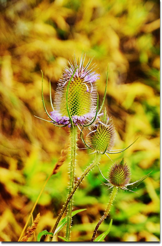
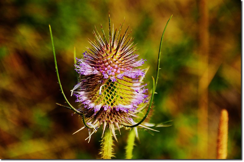
Wild Teasel

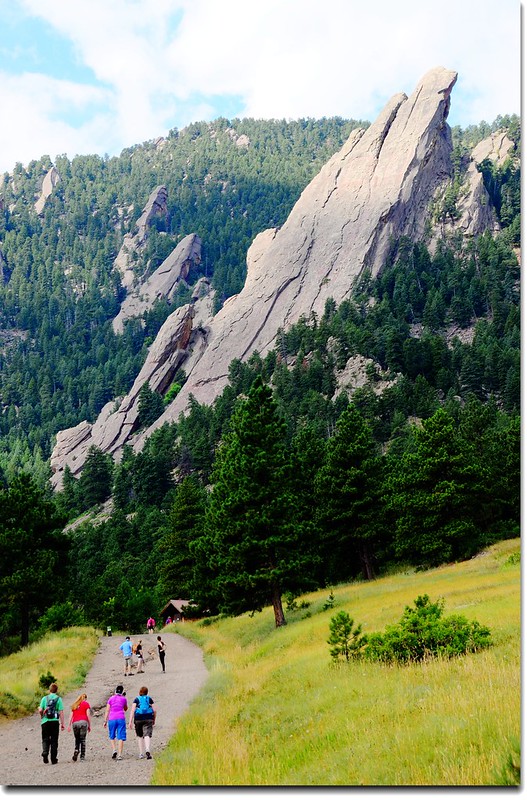
Bluebell Road
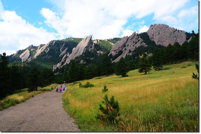
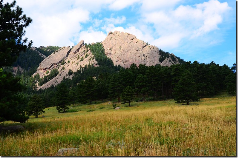
Flatirons from Bluebell Road
The 3rd Flatiron from Bluebell Road
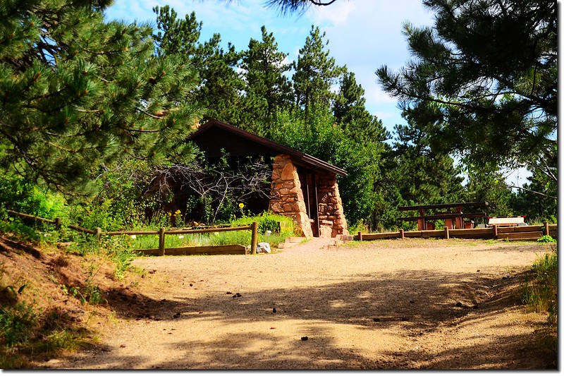
Bluebell shelter
行約0.4哩遇Royal Arch Trail登山口;
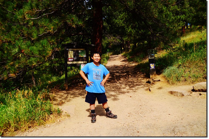
Royal Arch Trailhead
取右上小徑往Flatirons Trail北上;
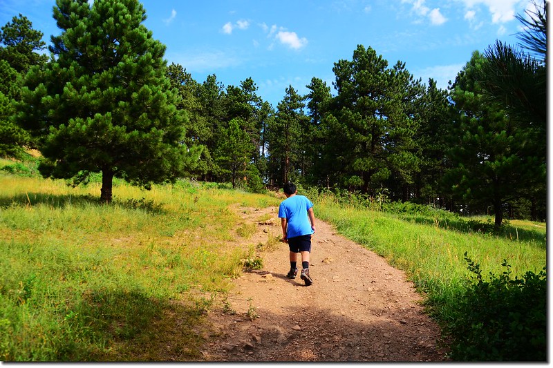
Flatirons Trail
再行約0.1哩上到稜線松林中遇到Bluebell-Baird Trail,此稜線是第二座(2nd) Flatiron下方的稜線。
10:18 抵達Bluebell-Baird Trail,左右均為Bluebell-Baird Trail,直上為“To Flatirons Climbing Access”,取直行上山。
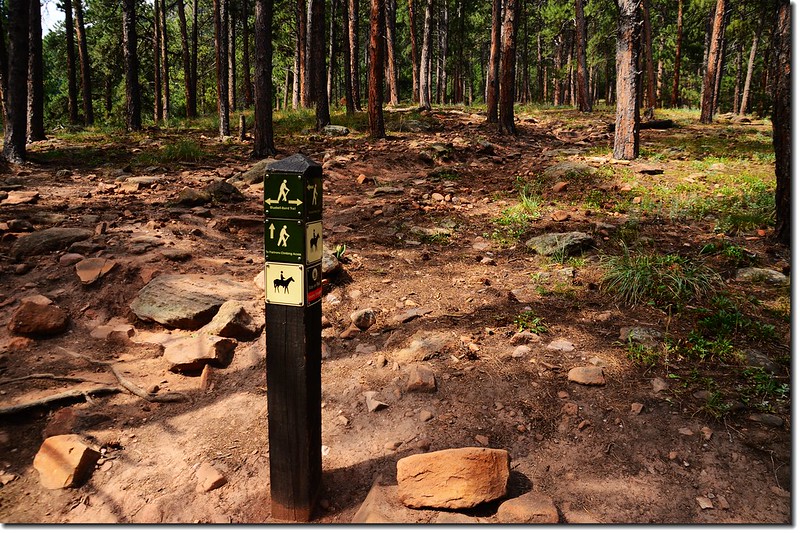
Bluebell-Baird Trail & Flatirons Climbing Access fork
10:22 小徑再行約0.1哩抵達Flatirons Loop步道,左右均為Flatirons Loop步道,直上為1st /2nd Flatiron Trail;取直行上山。
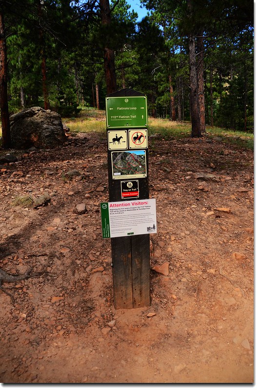
Flatirons Loop & 1st、2nd Flatiron Trail fork
10:27 抵達一大片碎石坡,此大片碎石坡是第二座(2nd) Flatiron下方的西北面坡,步道開始在岩石坡間“之”字盤升。
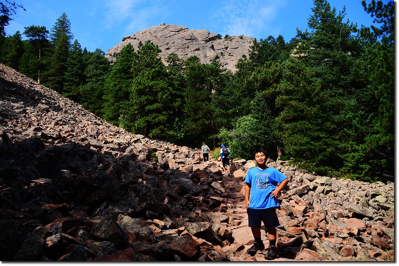
The trail through a long talus field
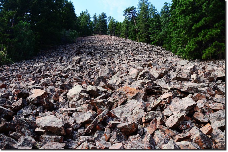
A long talus field between 1st & 2nd Flatiron
1st & 2nd Flatiron Trail
10:36 小徑右側一座木橋是要攀爬第一座(1st) Flatiron的攀岩路線,由Flatirons Loop步道岔路到此約0.2哩;
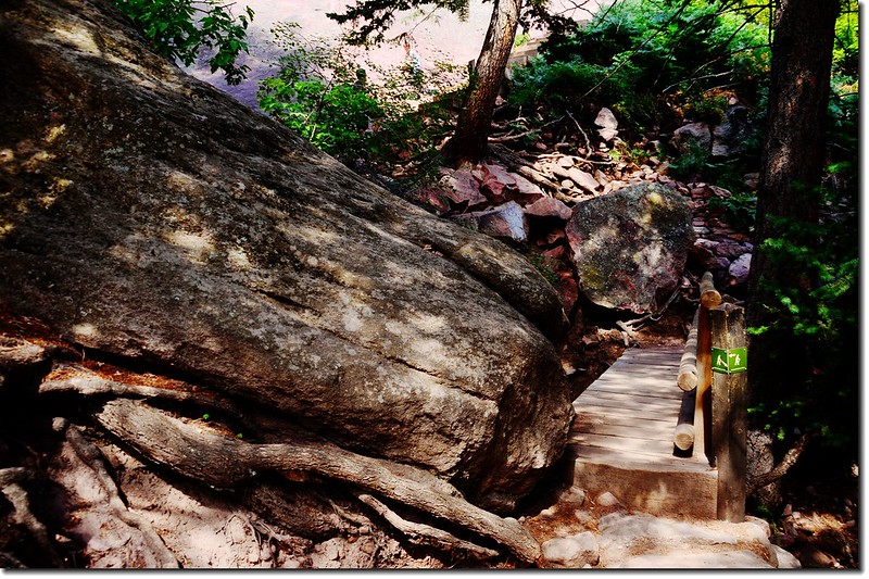
1st Flatiron climbing access spur

First Flatiron from climbing access spur
取左小徑續上。
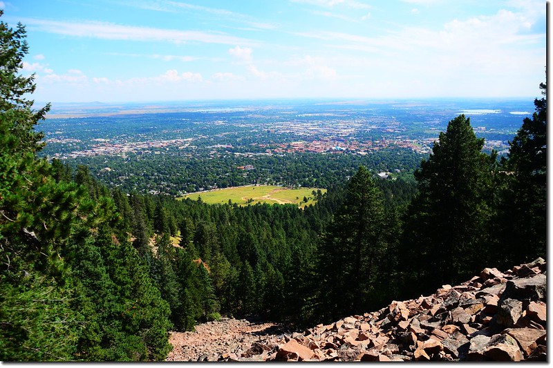
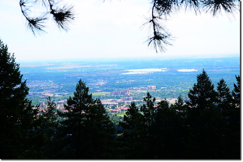
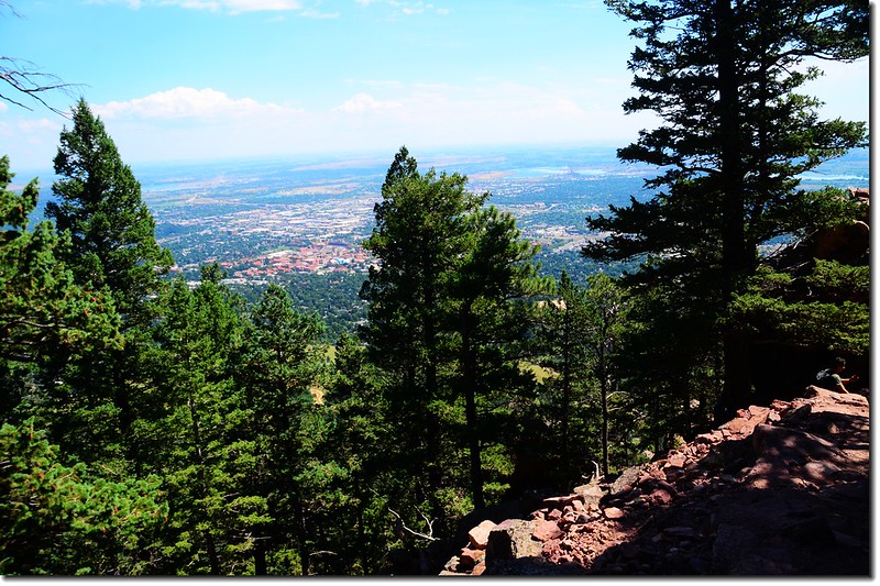
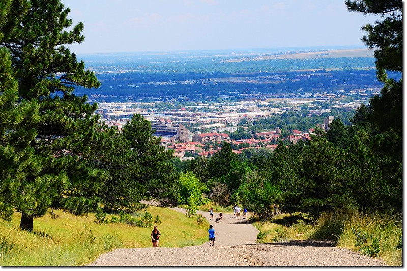
Overlooking Boulder downtown from the talus field

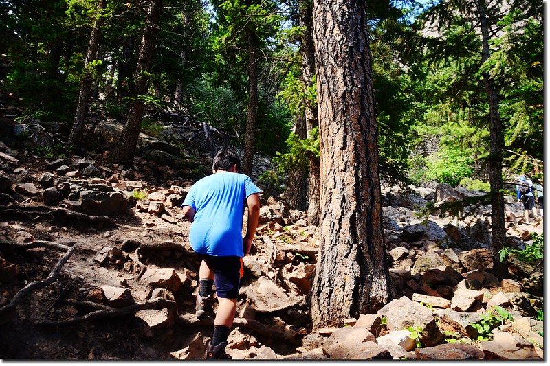
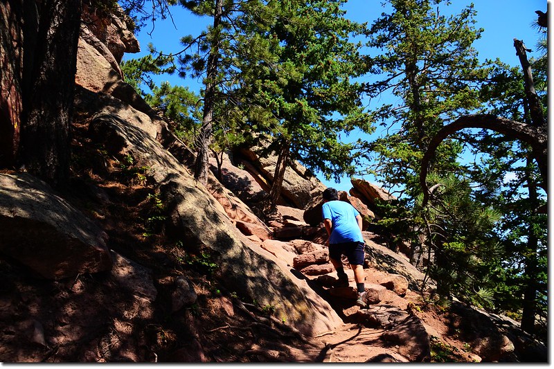
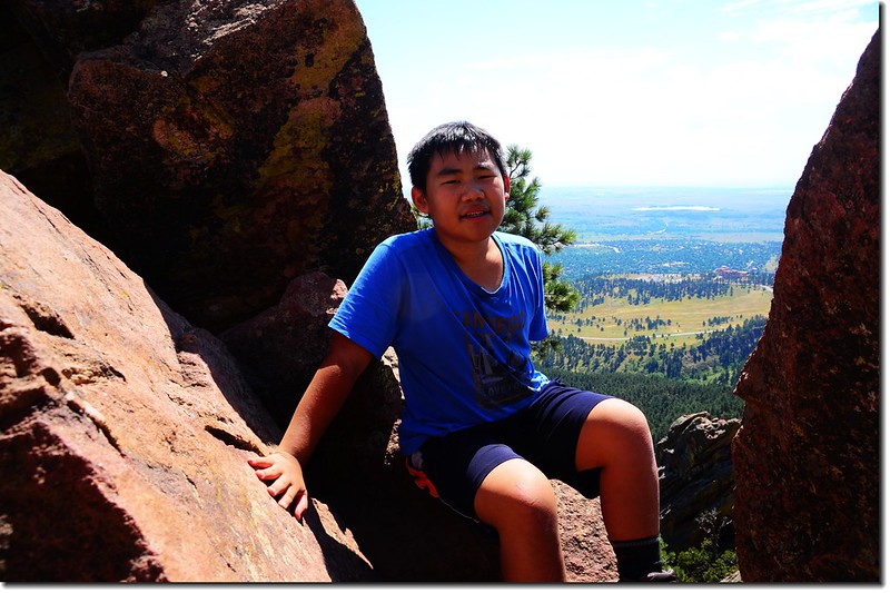
Jacob hike up through the talus field
10:45 上到將達抵岩石坡頂端時越嶺繞過稜線在另一坡面繼續盤升上山,此波面即是第二座(2nd) Flatiron下方的東南坡。
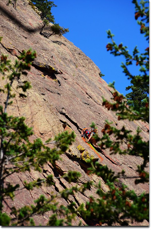
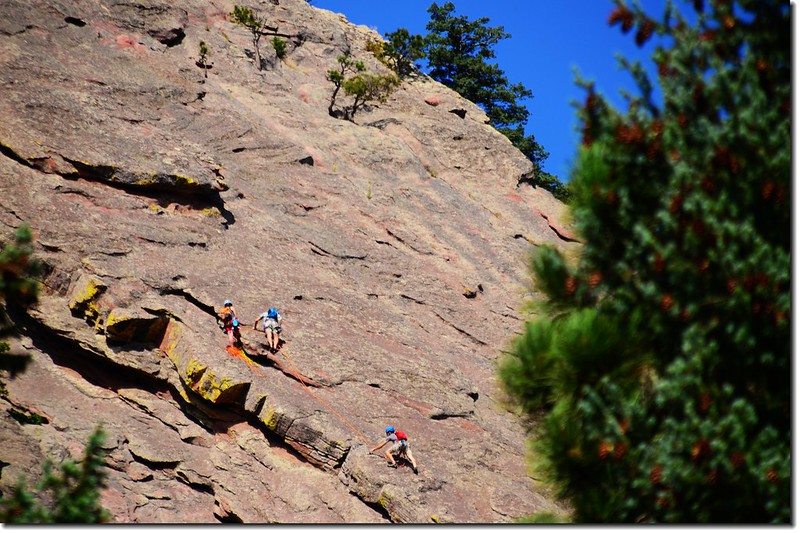

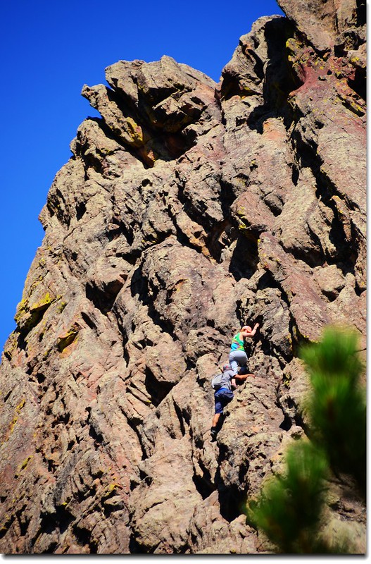
Rock Climbers on the First Flatiron
1st & 2nd Flatiron Trail
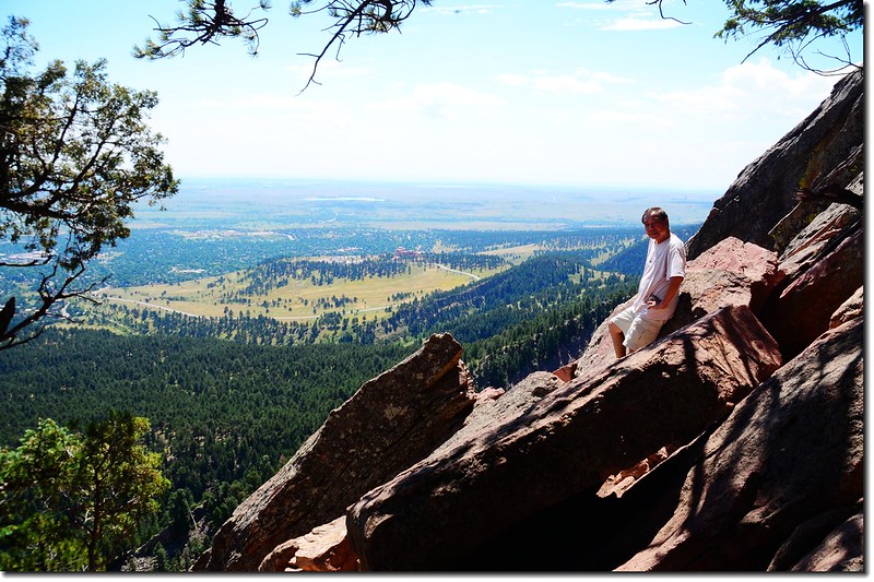
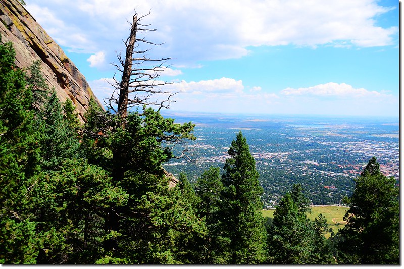
10:55 再越過稜線回到岩石坡(第二座Flatiron下方的西北面坡)這一坡面,越嶺處岩石上有極佳展望,可在此小休;
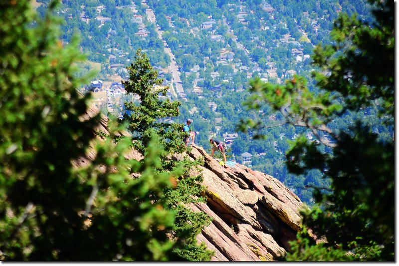
Taken from the 2nd Flatiron below
Taken from the 2nd Flatiron below
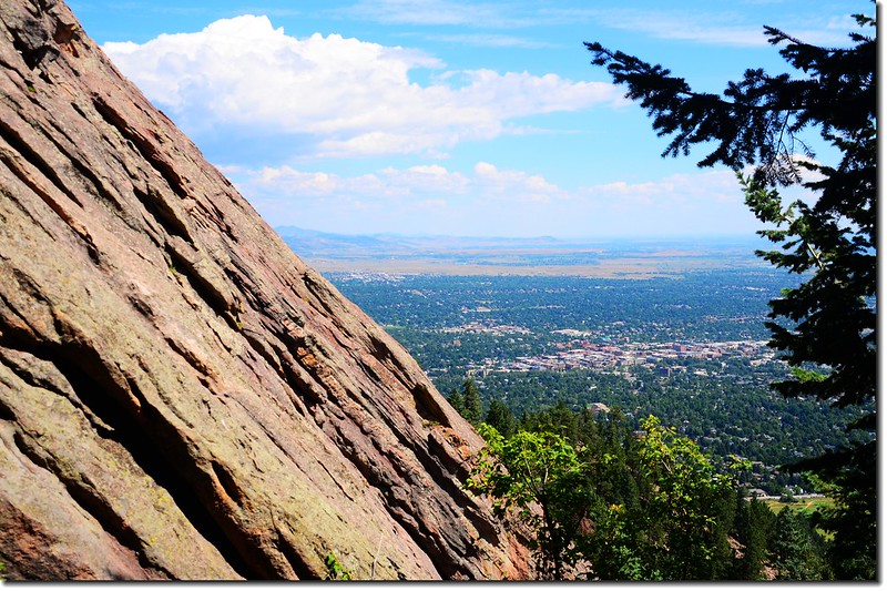
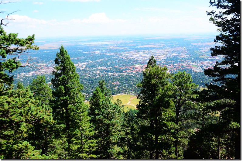
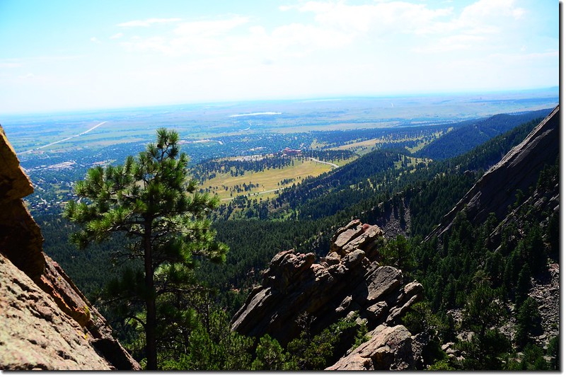
Overlooking Boulder downtown from the trail
休息後再一路在第二座Flatiron下方的西北面坡“之”字盤升。

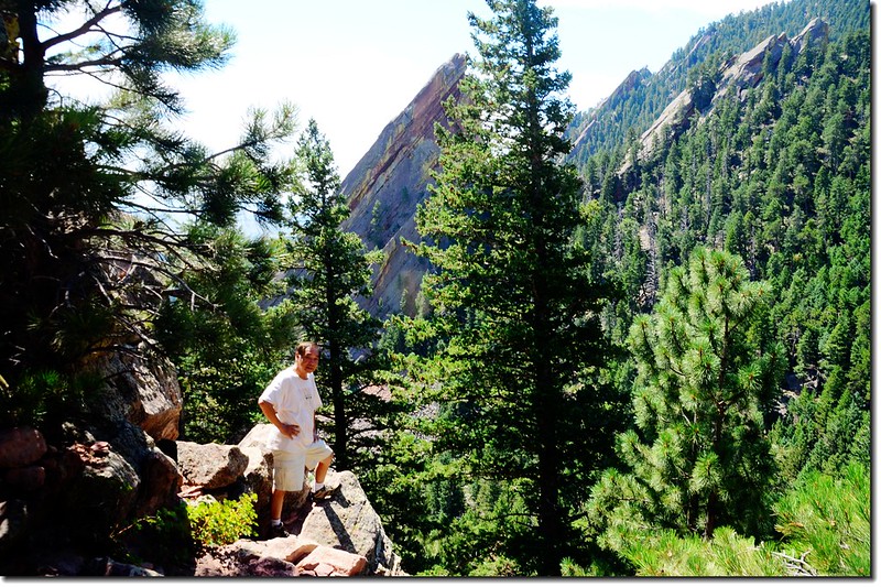
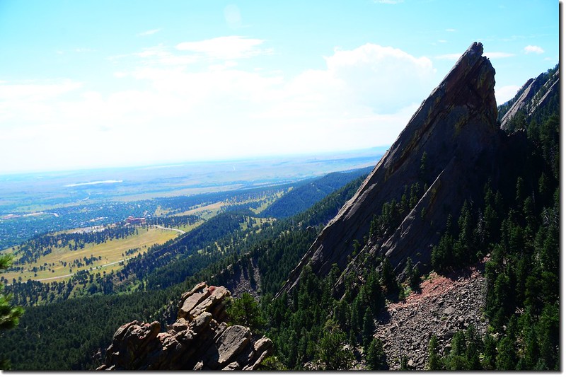
The First Flatiron as seen from the 2nd Flatiron access trail
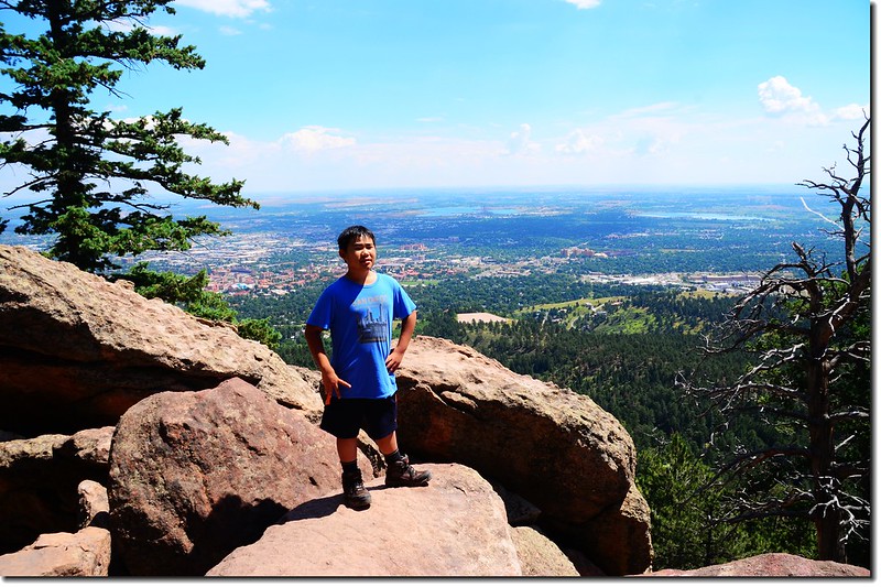
11:15 登上最高點,最高點介於1st.Flatiron和2nd Flatiron的中間鞍部,從第一座(1st) Flatiron的攀岩路線木橋到登頂里程約0.5哩,從Chautauqua Park Ranger Station到登頂計約1.3哩。

The First Flatiron as seen from the 2nd Flatiron access trail

The First Flatiron as seen from the 2nd Flatiron access trail
Looking down toward Boulder downtown from The notch between the first and second flatiron
Taken from The notch between the first and second flatiron
小心攀上2nd Flatiron的岩石上有不錯的展望;
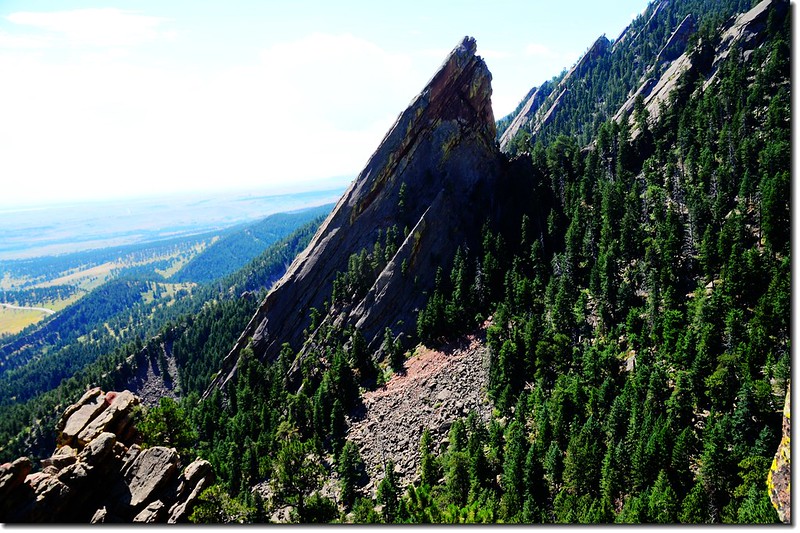
The Third Flatiron as seen from the top of the 1st & 2nd Flatiron Trail
Looking south at NCAR from the 2nd Flatiron
Looking south at NCAR & 3rd Flatiron from 2nd Flatiron
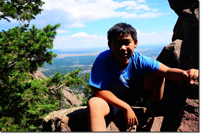
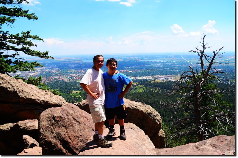
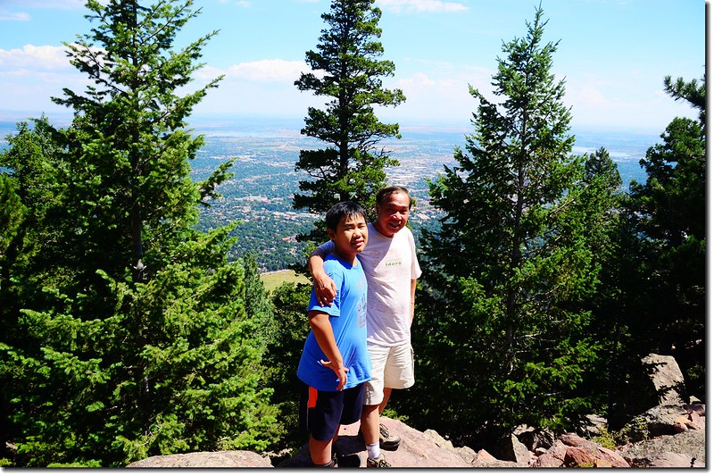
Jacob on the Second Flatiron
此路線第一次攀登已是十多年前的事了,在山頂小休後循原路下山。
12:20 回到Chautauqua Ranger Cottage,全程登山時間約2小時40分鐘。
Bluebell Road
沒有留言:
張貼留言