The Loch
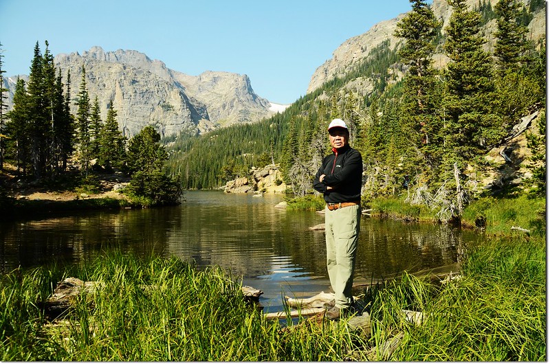
前天又進去落磯山國家公園Bear Lake附近攀登幾座高山湖,孫子們有事沒跟班,自己一個人就多走了一些路,共走了七座高山湖的一個小“O”型環走,這七座高山湖多年前都已走過,有的更是到過不下N次,但每次走總有每次不同的感受。
-------------------------------------------------------------------------------------------------------
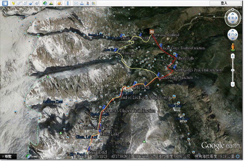
Hiking route
登山里程:約12.3哩(19.68公里)
總爬升高度:約2,200呎(670公尺)
登山時間:7.5小時(含休息午餐)
攀登湖泊:
Bear Lake~~海拔9,450呎(2,880公尺)
Nymph Lake~~海拔9,705呎(2,958公尺)
Dream Lake~~海拔9,912呎(3,021公尺)
Lake Haiyaha~~海拔10,221呎(3,115公尺)
The Loch~~海拔10,192呎(3,107公尺)
Lake of Glass~~海拔10,808呎(3,294公尺)
Sky Pond~~海拔10, 10,887呎(3,318公尺)
-------------------------------------------------------------------------------------------------------
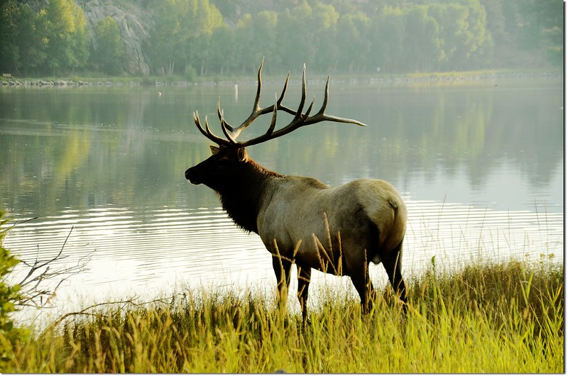
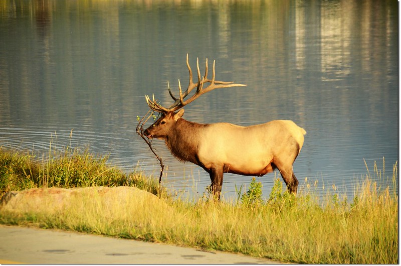
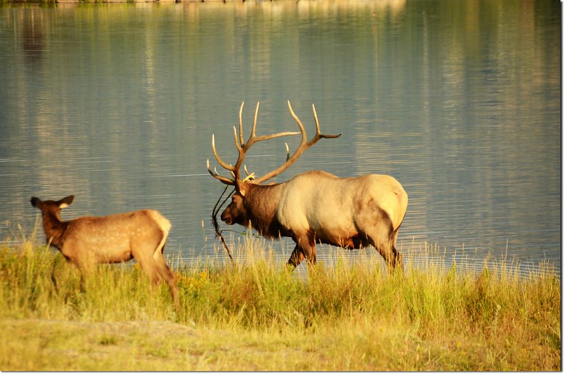
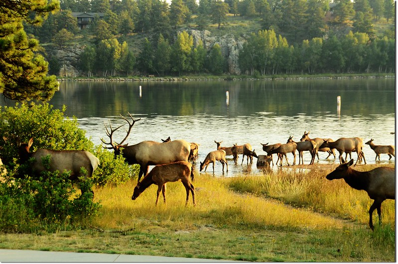
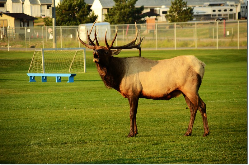
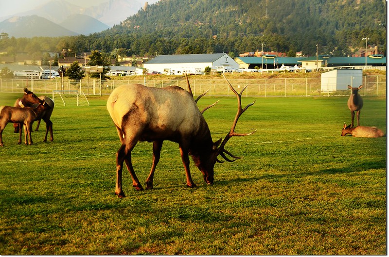
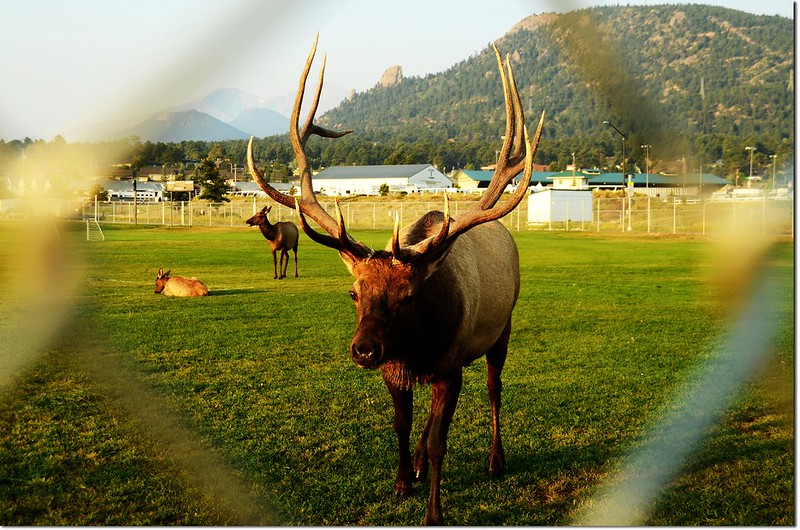
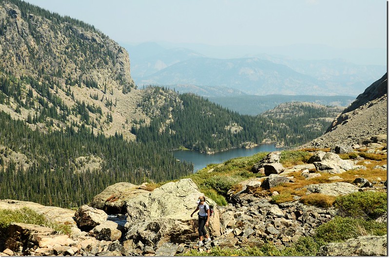
清晨五點多從女兒家中出發,07:15抵達Estes Park,在Lake Estes發現一大群麋鹿(Elk)停下來拍照花去不少時間。
八點半抵達Bear Lake停車場,我是最後第二個停車位,運氣超好,否則又要開到Park & Ride再搭Shuttle Bus進來,起碼要多花將近一小時的時間。
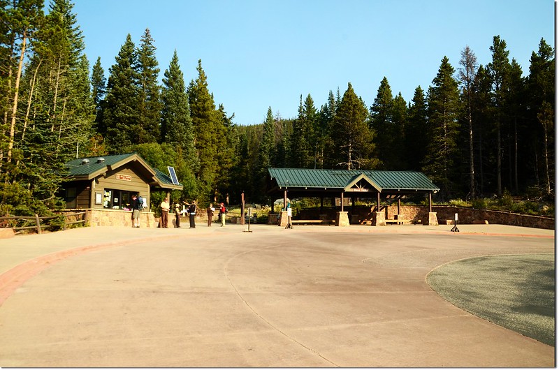
Bear Lake parking lot
08:35 從Bear Lake停車場出發,先到Bear Lake繞一下。
08:36 Bear Lake,來得稍晚,水面已起波紋,拍不出Hallett Peak的倒影;
Bear Lake
回到停車場西南角登山口,右上往Dream Lake不取,取左下往Alberta Falls。
08:48 抵達Glacier Gorge Trailhead岔路口,左下往Glacier Gorge Trailhead,取右上直行往Alberta Falls。
Glacier Gorge Junction
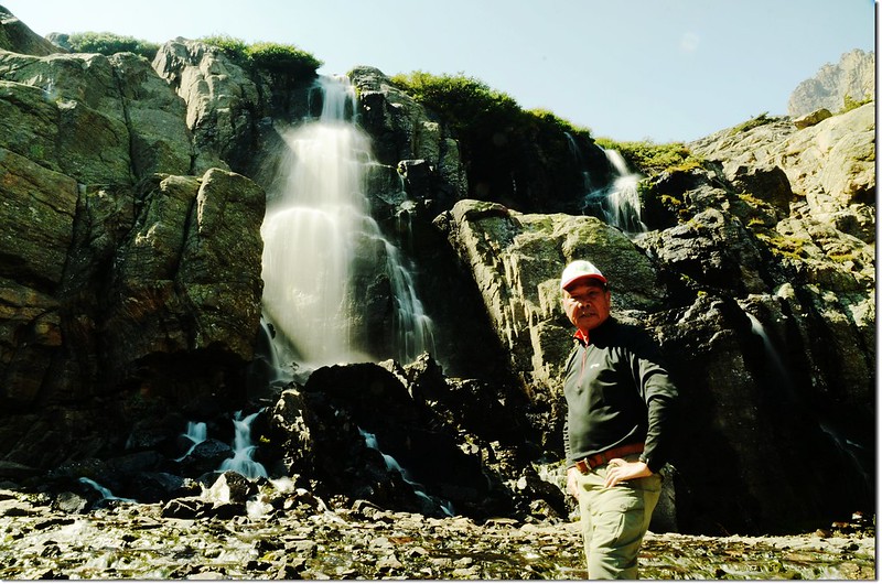
09:00 抵達Alberta Falls,海拔9,423呎(2,872公尺),距登山口1.3哩;
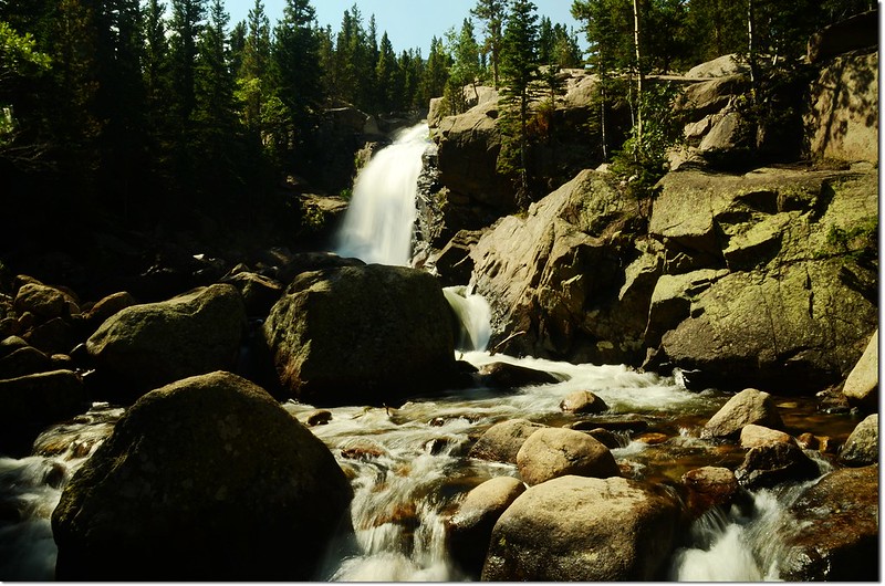
Alberta Falls
一個多禮拜前才和小孫子貝貝來過,不作停留,沿山徑續行。
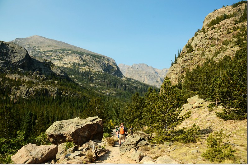
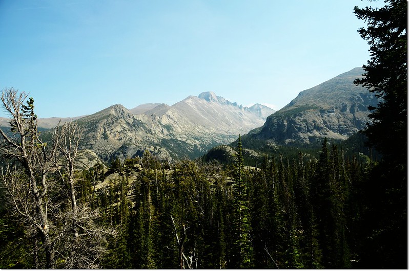
09:25 抵達North Longs Peak Trail junction,是一越稜點,海拔9,768呎(2,977公尺),距登山口2.1哩,左行是Boulder Brook Trail,可通往公園內第一高峰Longs Peak,取右續上,這附近因是越稜點,展望不錯。
North Longs Peak Trail junction
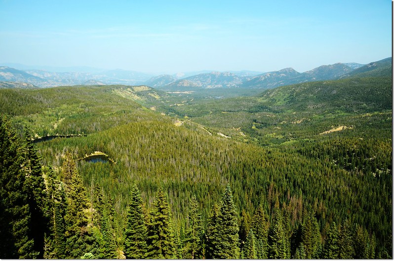
Glacier Gorge trail
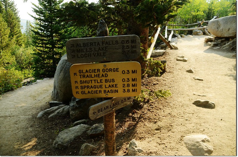
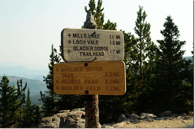
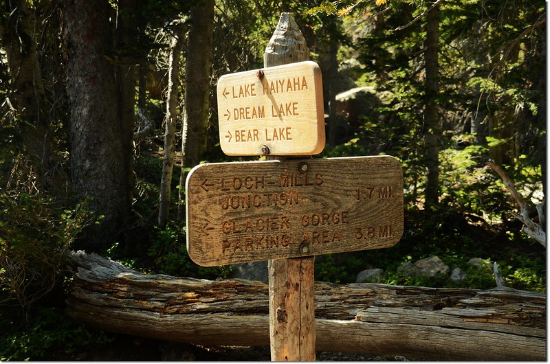
09:39 抵達Glacier Gorge Junction,是一三叉路,此處海拔9,804呎(2,988公尺),距登山口2.6哩,右往Lake Haiyaha,里程標示1.9哩,可續往Dream Lake下Bear Lake停車場,下山時若時間許可打算沿該線下山;中間直行是通往Loch Vale和Sky Pond的路徑;左往Mills Lake和Black Lake;
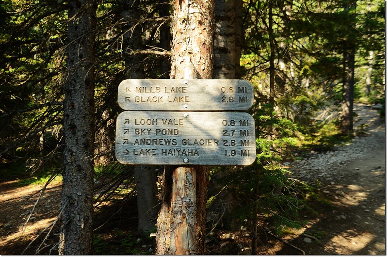
Glacier Gorge Junction
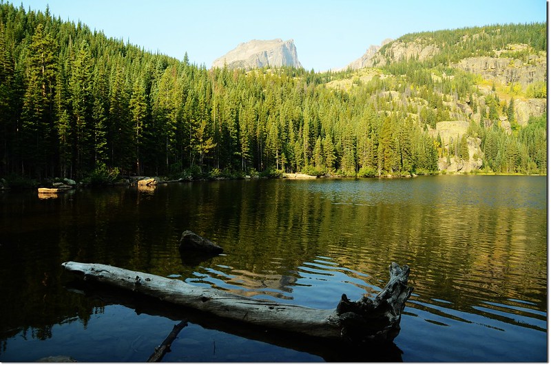
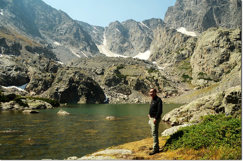
取中線直行往Loch Vale和Sky Pond,路徑沿著Icy Brook右岸緩升,不時聽到隆隆的流水聲。
09:59 步道來到“之”字形盤升路段,還好坡度不大;此處海拔9,985呎(3,043公尺),距登山口3.0哩,。
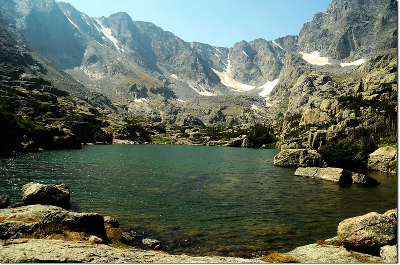
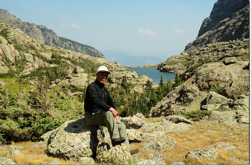
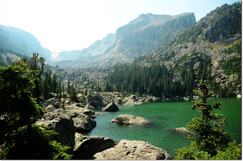
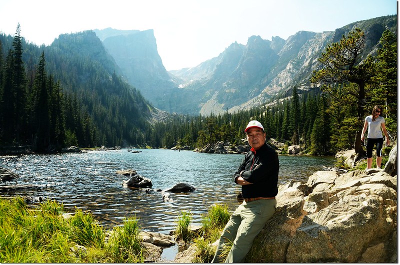
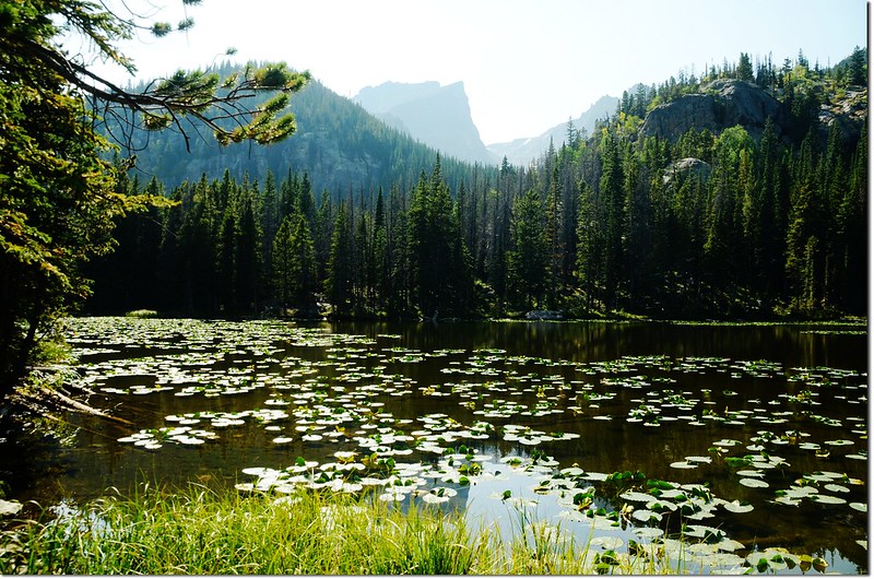
10:05 抵達The Loch(或稱Loch Vale),誠如其名The Loch是一座狹長的峽灣湖,岸邊岩石上好多釣客,海拔10,192呎(3,107公尺),距登山口3.4哩;

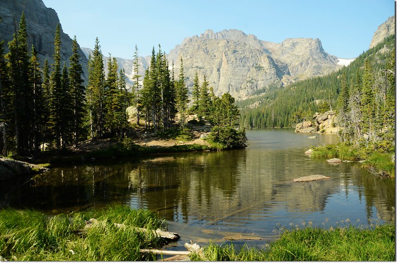
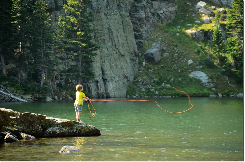
The Loch
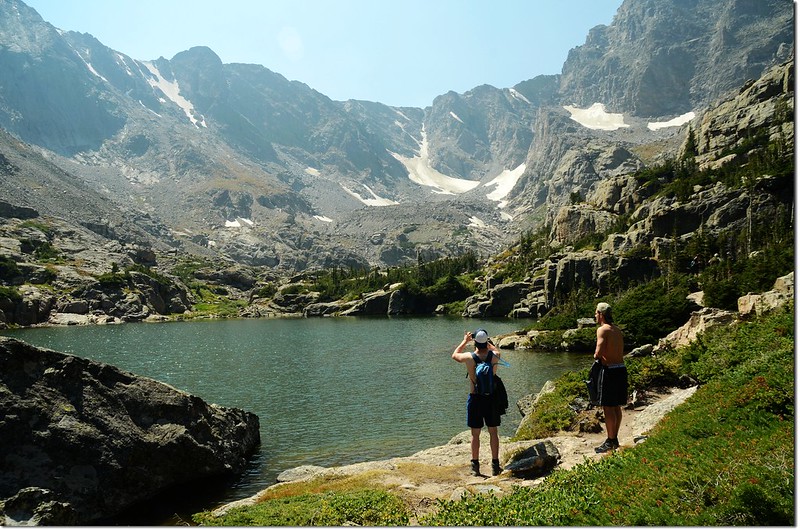
在The Loch東北岸小休後沿著湖的北岸往西南向續行,行約0.3哩後脫離The Loch進入濃密的松林往西南爬升。
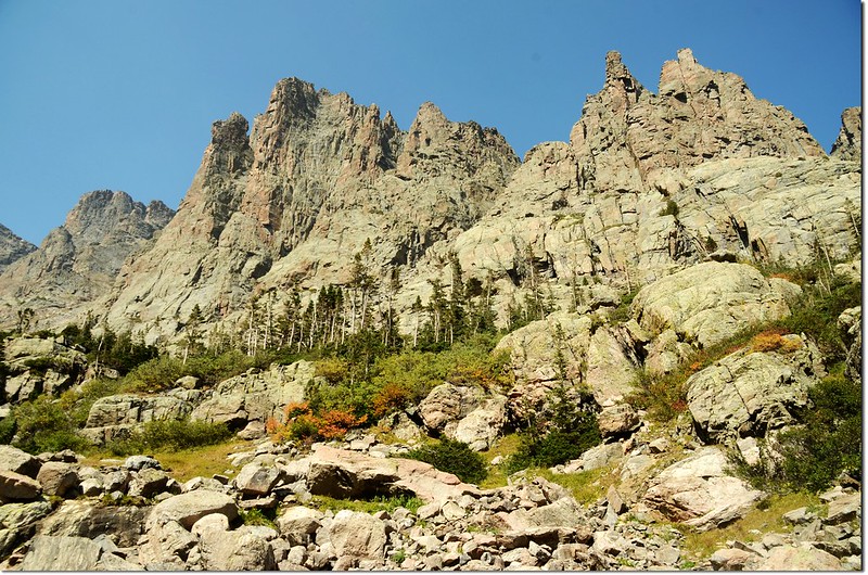
10:50 抵達Andrews Glacier Trail junction,海拔10,379呎(3,164公尺),距登山口4.3哩,右上不明顯路徑可通往Andrews Glacier,里程約一哩;取左續往Sky Pond。
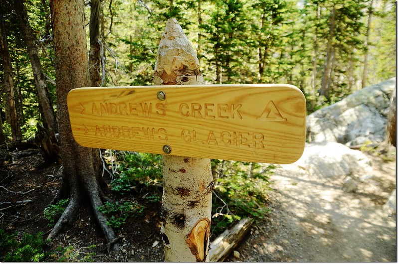
Andrews Glacier Trail junction
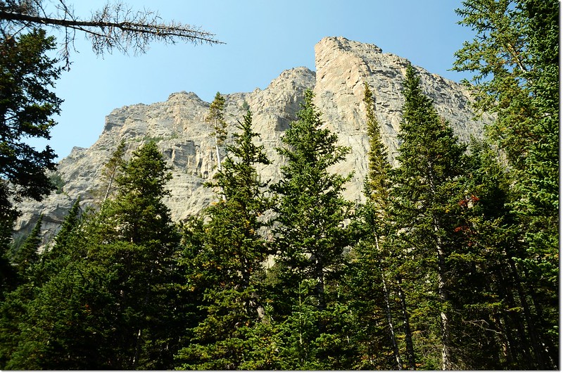
The Cathedral wall
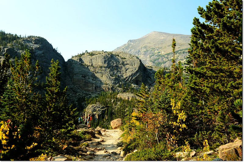
過Andrews Glacier Trail junction不久,經過一片大草原後山徑轉為較為陡峭的岩石小徑,開始往Timberline Falls爬升。

Timberline Falls tumbles out of Glass Lake
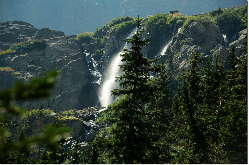
遠眺Timberline Falls
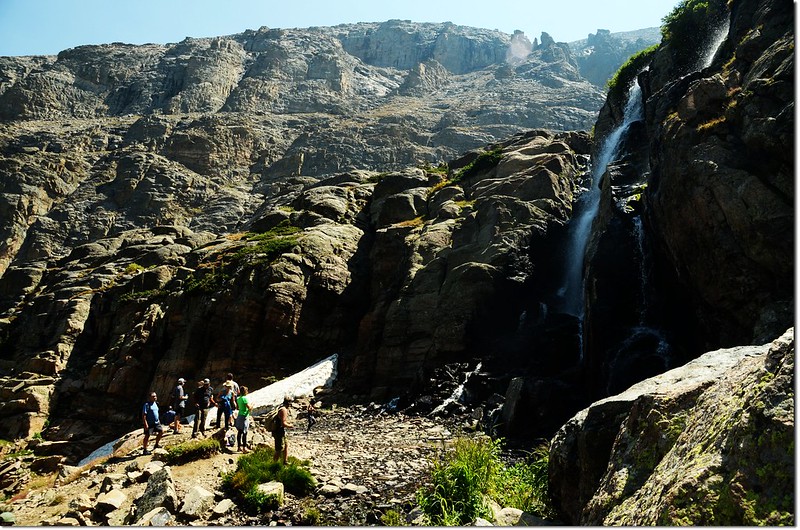
11:12 抵達Timberline Falls,海拔10,642呎(3,244公尺),距登山口4.7哩;Timberline Falls是Lake Of Glass出水口由岩壁傾瀉而下所形成,高低落差有100呎。
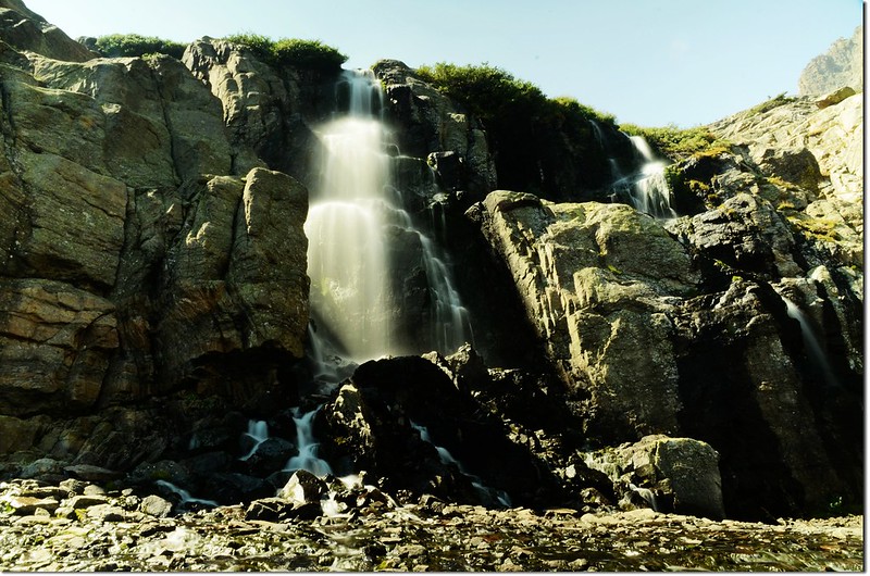
Timberline Falls just below Glass Lake
11:30 在瀑布下小休後離開Timberline Falls,由瀑布右側小攀岩上山,地形有點難,小心攀爬。
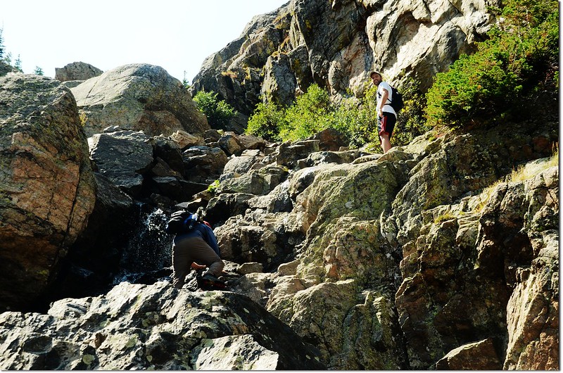
Scramble up this chute to the right of the falls to get to Lake of Glass
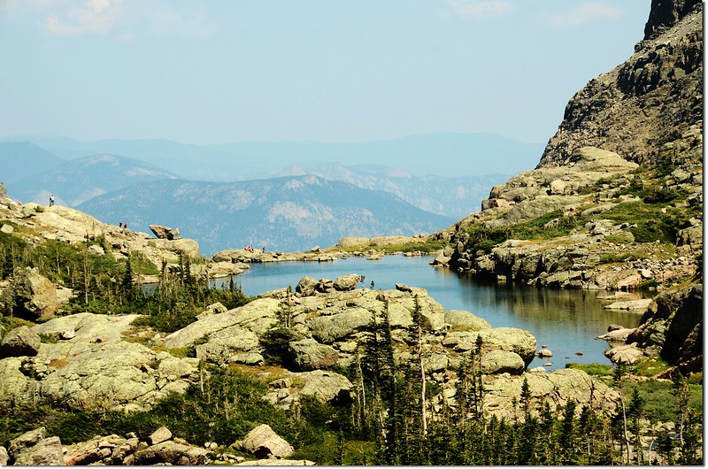
11:37 抵達Lake Of Glass,海拔10,808呎(3,294公尺),距登山口4.9哩;
Lake of Glass
Looking down at The Loch from Lake of Glass
由湖的右岸穿過不明小徑續往Sky Pond。
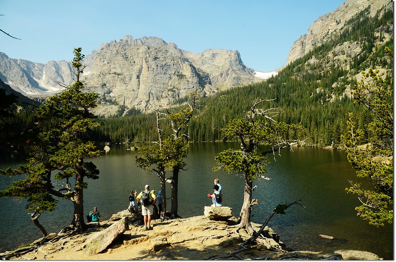
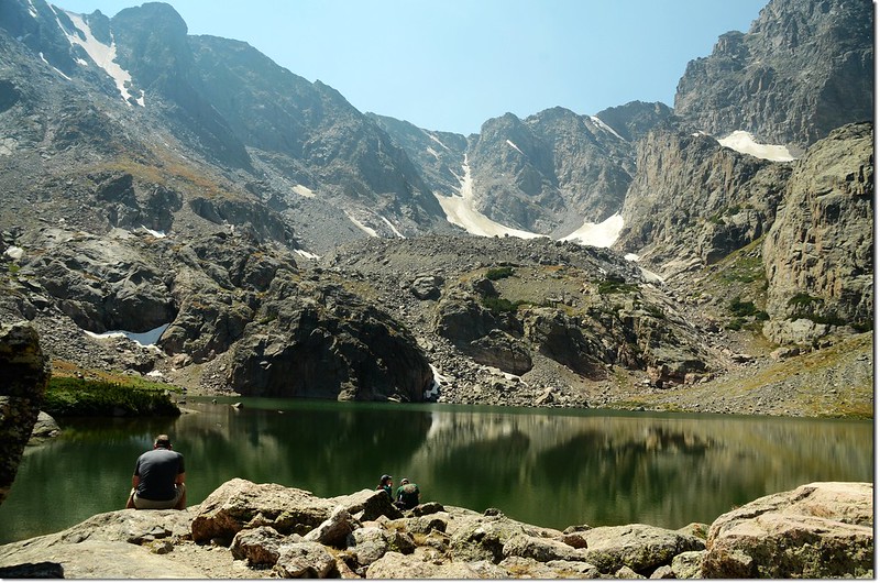
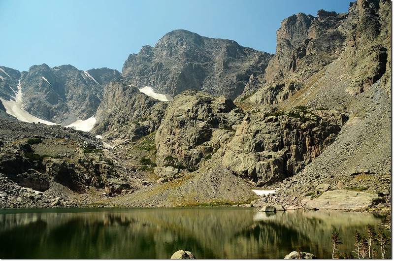
11:50 抵達Sky Pond,海拔10, 10,887呎(3,318公尺) ,距登山口5.3哩;
Sky Pond
Sky Pond and Taylor Peak
 該湖被Taylor Peak(左)及Petit Grepon(右)等崢嶸距沿環繞著,真是一座名符其實的天池;找個石頭坐坐一邊用中餐一邊欣賞美景。
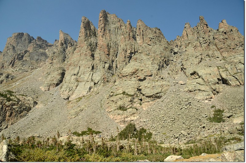
Southeast Face of Petit Grepon from Sky Pond
The Cathedral Spires are seen looking NW from Sky Pond
Looking down at Lake of Glass from Sky Pond
Looking down at Lake of Glass , taken from Sky Pond
12:35 循原路下山。
12:45 抵達Lake Of Glass。
12:57 返抵Timberline Falls,續下。
Timberline Falls
13:20 抵達The Loch西南岸,沿北岸續行下山。
The Loch西南岸往東北眺
13:55 返抵Glacier Gorge Junction,時間許可,取左側岔路往Lake Haiyaha,路牌標示距Lake Haiyaha 1.9哩。
14:09 路右一潭無名小潭。
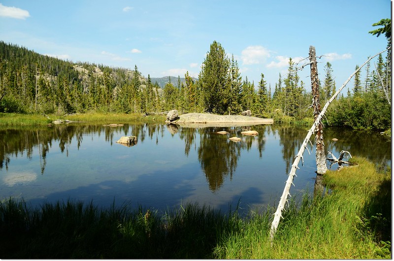
Unnamed lake
Overlooking Longs Peak from Lake Haiyaha trail
14:34 抵達Dream Lake岔路,右往Dream Lake;取左往Lake Haiyaha,距離還有0.2哩。
Dream Lake junction
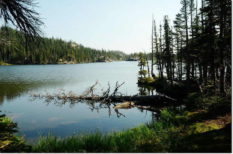
14:43 抵達Lake Haiyaha,此湖海拔10,221呎(3,115公尺);

A panoramic of Lake Haiyaha
所謂Haiyaha在印第安語意指“大石頭”,因為此湖湖岸是由無以數計的大巨石環繞而成,而大石上隙縫中又長出許多年代久遠的造型優美、樹幹扭曲的松樹,在湖岸之後湛藍的湖水襯托之下,真是如詩如畫。
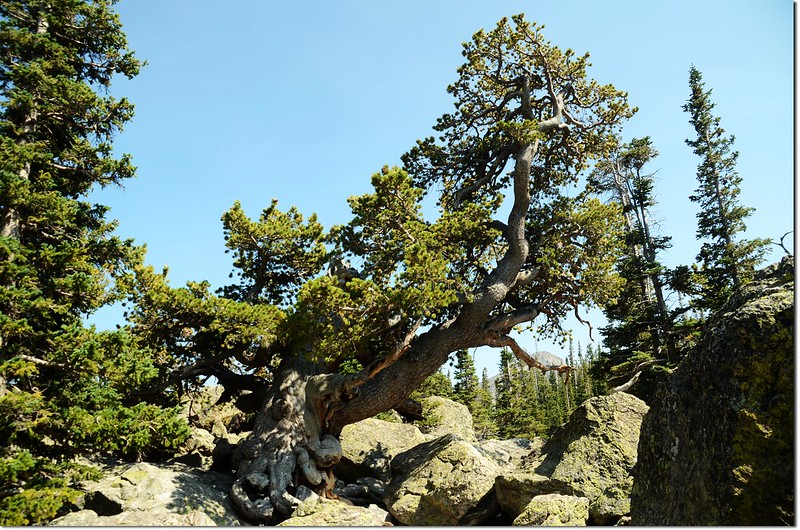
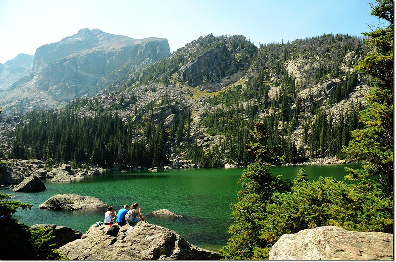
Lake Haiyaha
14:52 離開Lake Haiyah下山。
14:57 抵Bear Lake岔路,取左往Bear Lake。
Overlooking Longs Peak from Lake Haiyaha trail
Looking down at Nymph Lake & Bear Lake from Lake Haiyaha trail
15:20 抵達Bear Lake,此湖來的次數真不計其數,稍作停留隨即下山。

Dream Lake
Overlooking Longs Peak from Dream Lake trail
15:44 抵達Nymph Lake。
Nymph Lake
16:00 返抵Bear Lake停車場,完成一趟七座高山湖的小“O”型環走,總里程數約19.68公里,總爬升高度約670公尺,費時7.5小時(含休息午餐)。
-------------------------------------------------------------------------------------------------------
詳細里程分析(里程數以登山步道旁木製里程牌為依據,與網路資料或有出入):
上山:
Bear Lake Trailhead--→Bear Lake 0.1 mile
Bear Lake--→ Glacier Gorge Junction 0.6 mile (累計0.7 mile)
Glacier Gorge Junction --→Alberta Falls 0.6 mile (累計1.3 mile)
Alberta Falls --→North Longs Peak Trail junction 0.8 mile (累計2.1 mile)
North Longs Peak Trail junction --→Glacier Gorge Junction 0.5 mile (累計2.6 mile)
Glacier Gorge Junction --→ The Loch 0.8 mile (累計3.4 mile)
The Loch --→ Andrews Glacier Trail junction 0.9 mile (累計4.3 mile)
Andrews Glacier Trail junction --→ Timberline Falls 0.4 mile (累計4.7 mile)
Timberline Falls --→Lake of Glass 0.2 mile (累計4.9 mile)
Lake of Glass--→Sky Pond 0.4 mile (累計5.3 mile)
下山:
Sky Pond--→Glacier Gorge Junction 2.7 mile(累計8.0 mile)
Glacier Gorge Junction--→Lake Haiyaha 1.9 mile(累計9.9 mile)
Lake Haiyaha--→Dream Lake 1.3 mile(累計11.2 mile)
Dream Lake--→Nymph Lake 0.6 mile(累計11.8 mile)
Nymph Lake--→Dream Lake 0.5 mile(累計12.3 mile)
沒有留言:
張貼留言