
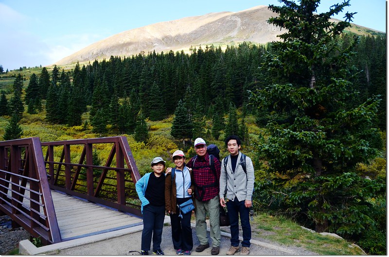
Grays Peak Trailhead
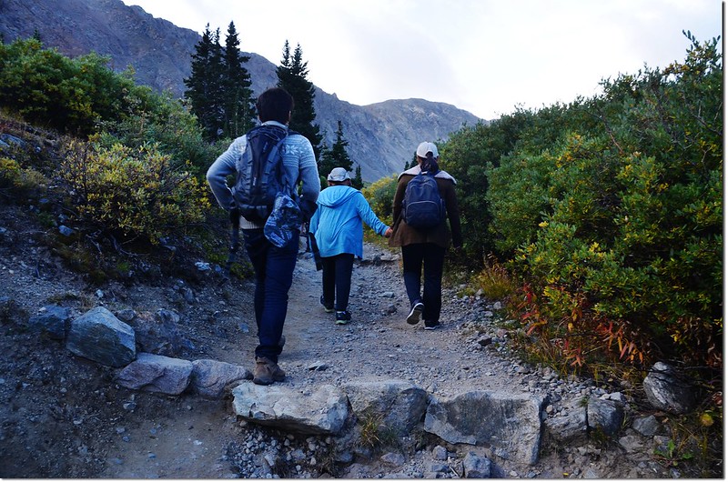
週一(7)是美國勞動節(Labor Day),帶著家人去爬Grays Peak旁邊的一座14ers~~Torreys Peak;Grays Peak女兒及兩個孫子皆已登頂過,今天主要是帶他們攀登Torreys Peak,所以我們是採Torreys Peak的南稜(South Slopes)路線,也就是從登山口走到Grays Peak的北面坡下時直切上Grays Peak與Torreys Peak之間的鞍部,然後直攻Torreys Peak,攻頂後循原路下山。
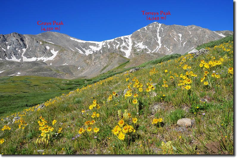
攀登山岳:Torreys Peak
山岳海拔:14,267呎(4,349公尺)
登山口:Grays Peak Trailhead(11,280呎 / 3,438公尺)
爬升高度:3,000呎(914公尺)
登山里程(來回):8.0哩(12.8公里)
登山時間:約8小時
-----------------------------------------------------------------------------------------------------------
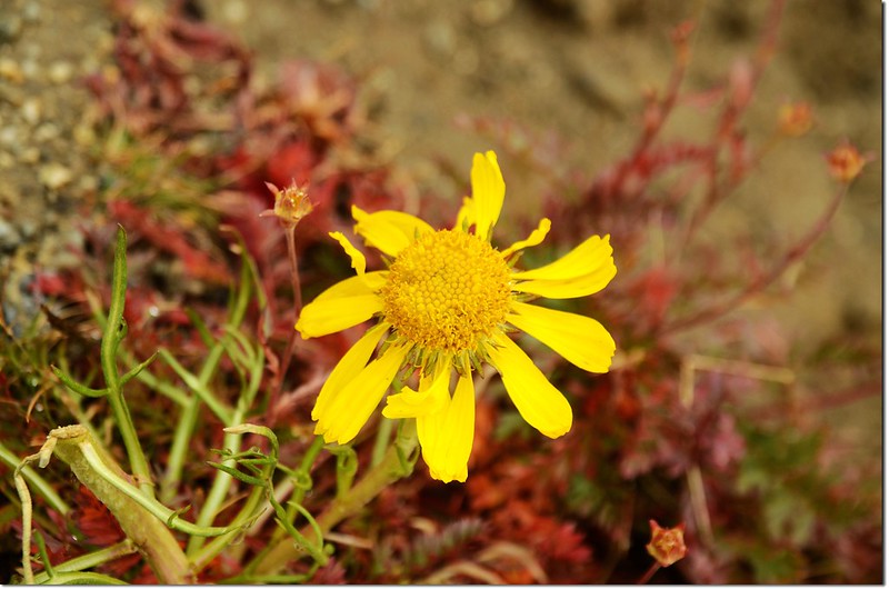
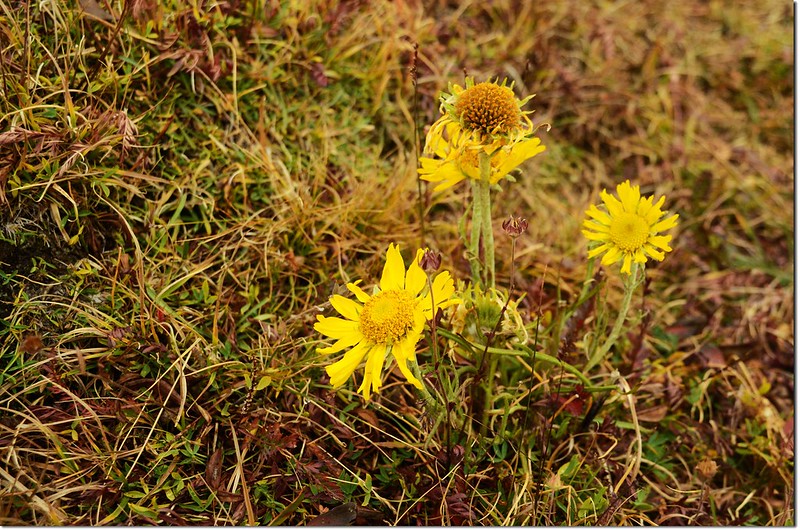
今天因為登山季節稍晚,已過野花盛開期,加上天候不佳,沒有良好展望;較佳展望之紀錄請參閱我之前的網誌:
(一) Grays Peak和Torreys Peak攀登記(攀登日期:2006.09.04)
(二) 三度攀登Grays Peak(2010.08.11)
(三) 攀登科州14ers--Torreys Peak(山岳篇)-2011.07.19
-----------------------------------------------------------------------------------------------------------
山岳簡介:
Grays Peak和Torreys Peak是科羅拉多州兩座海拔超過14,000呎的14ers,首登Grays Peak和Torreys Peak的是一位植物學家Charles C. Parry,他以他兩位很有名的同事、也是植物學者Asa Gray和John Torrey之名分別為這兩座山命名,而Asa Gray和John Torrey真正看到此兩峰卻是在11年後的1872年。
Torreys Peak海拔14,267呎(4,349公尺),在科羅拉多州的14ers中排名第十一,而在其南邊不到一哩處尚有一座高度排名第九、海拔14,270呎(4,350公尺)的Grays Peak,通常登山客都是兩山連爬,而最常走的登山路線是由Grays Peak Trailhead(11,280呎/ 3,438公尺)起登,由Grays Peak的東稜登上Grays Peak後,再沿Grays Peak的北稜下到Grays Peak與Torreys Peak之間的鞍部,然後由Torreys Peak的南稜登上Torreys Peak;登上Torreys Peak後循原路回到鞍部取捷徑下山,全程約8.5哩。
登Torreys Peak另一條路線是Torreys Peak - Kelso Ridge路線,由Torreys東北稜直接攻頂,難度較高,是一條挑戰路線,我曾兩度經由該路線登頂。
Grays Peak & Torreys Peak from the trail(舊照)
-----------------------------------------------------------------------------------------------------------
行車資訊:
從丹佛出發取道I-70州際道路往西行約50哩,由Exit 221 的Bakerville出交流道,再沿Stevens Gulch Road南行約3哩可抵登山口Grays Peak Trailhead(Stevens Gulch Trailhead),但這三哩的小路是有夠難走的,冬天封閉不准通行,春夏開放期間若非性能良好的四傳車不建議進去。
步程簡述:
我們抵達登山口時已近早上八點,時間稍晚,登山口附近已無停車空間,我們將車停在距登山口數百公尺遠的路旁,然後踢石子路到登山口。
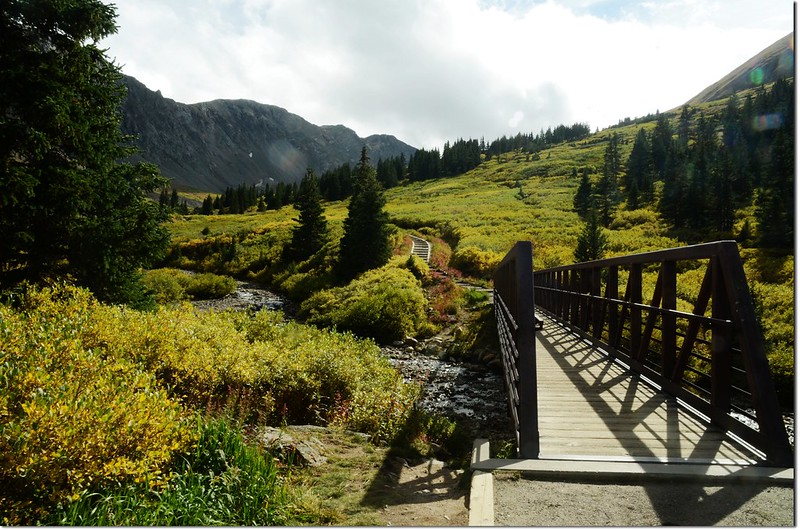
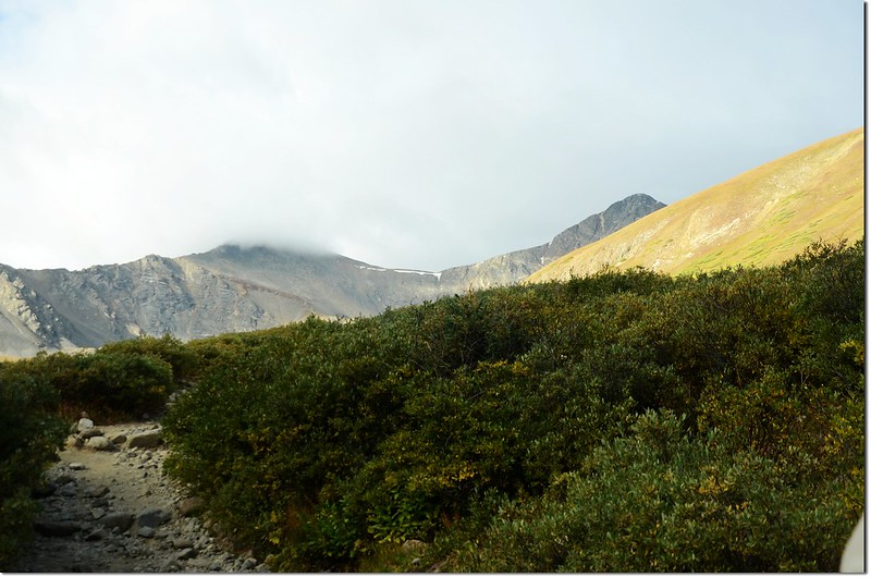
08:20 登山口出發,海拔11,280呎(3,438公尺),先過橫跨Stevens Gulch Creek的鐵橋後沿維護良好的寬敞步道緩升,右側是海拔13,164呎的Kelso Mountain,步道就在其山腳下盤旋上升。
Grays Peak Trailhead
The Grays Peak trail
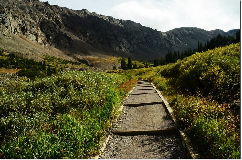
The Grays Peak trail is in great condition and easy to follow
Looking down at trailhead from Grays Peak trail
Kelso Mt. (13164 ft, 4012 m) as viewed from the Grays Peak Trail
Stevens Gulch
Grays (laft) and Torreys seen from 11,700' along the trail
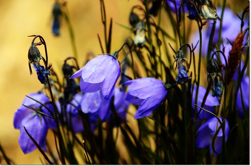
Mountain Harebell(Bluebell)
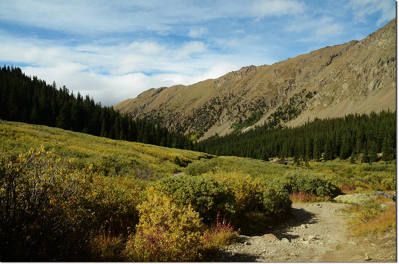
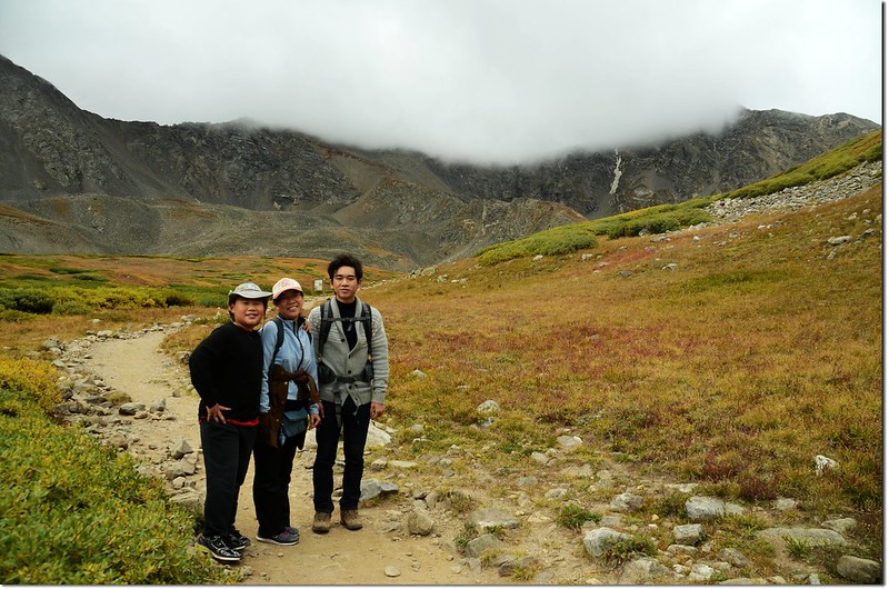
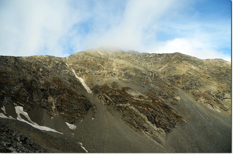
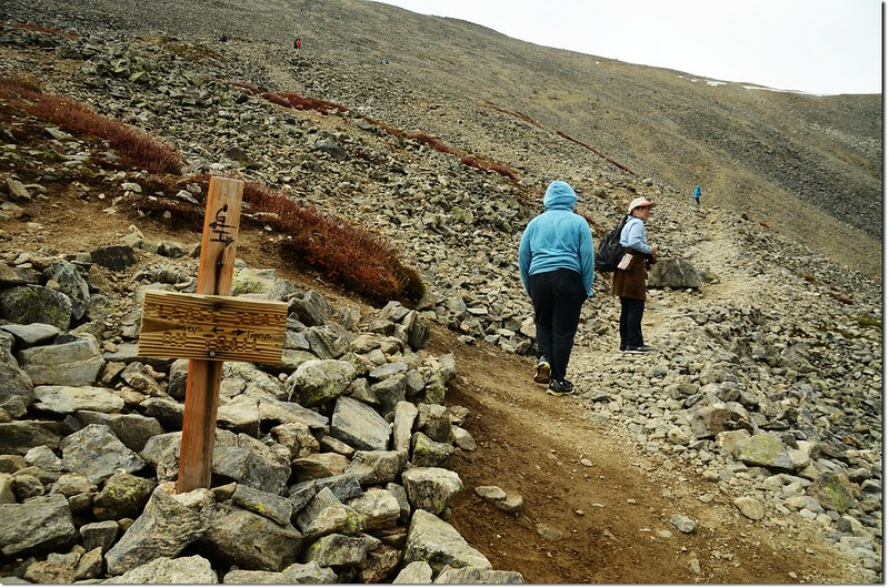
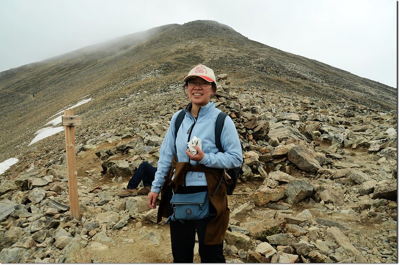
09:25 抵一登山資訊牌(Information sign)處,距登山口約1.5哩;哇!西望Grays Peak和Torreys Peak雙雙羞澀的躲藏在白雲深處,看來今天天氣不佳,建議下撤,小孫子貝貝很堅持,一定要登頂,三個拗不過他一個,繼續前進;之後步道變小,偶而要在亂石中跨越前進。
Taken at the trail from 1.5 miles into the hike
09:38 跨越Stevens Gulch Creek,已無溪水,輕易渡過。
Torreys Peak from Stevens Gulch Creek
10:05 抵傳統步道和Torreys Peak - Kelso Ridge路線分岔,此地海拔12,100呎,距登山口約1.75哩。右岔往Kelso Ridge直攻Torreys Peak;取左直上往Grays Peak傳統步道。
Old man of the mountain
過岔路不久一位華人追上我們,交談之後得知是來自山東旅居Aurora的王先生,他來丹佛已三年多,休閒活動也是喜愛Hiking,已爬過多座14ers;嗜好相同,又是同胞,談來格外親切,在這兒難得遇上幾位東方登山客,就這樣,王先生就一路亦步亦趨的關心著我們。
Torreys Peak from Grays Peak trail
Kelso Mountain from Grays Peak's slopes
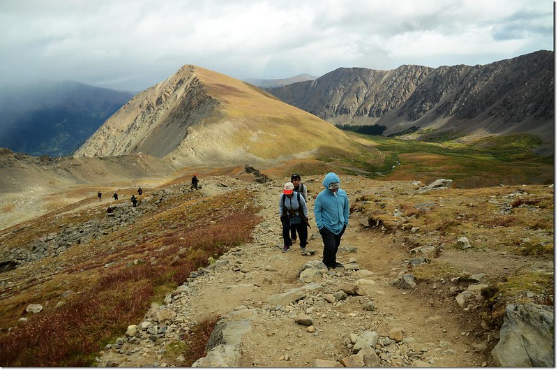
11:25 抵達Grays Peak與Torreys Peak岔路;左往Grays Peak東稜路線,右往Grays Peak與Torreys Peak之間鞍部直攻Torreys Peak,取右直攻Torreys Peak;
Grays & Torreys Peak trail junction
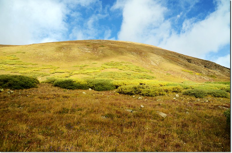
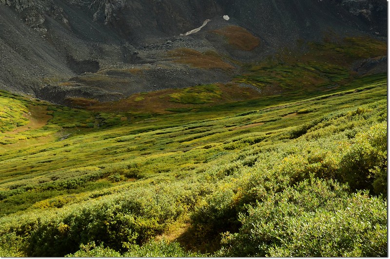
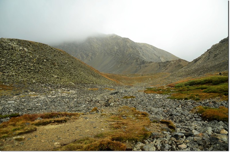
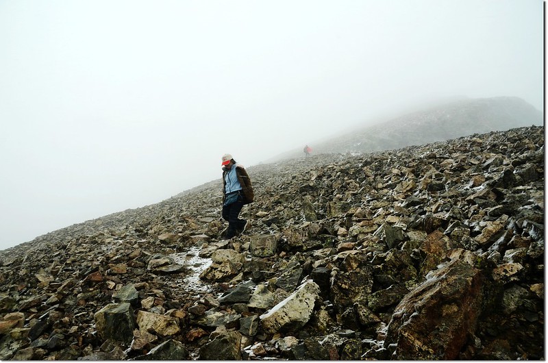
此後路徑更是分歧,亂石坡中很難找出哪條路徑較正確,其實也沒有所謂正不正確,抓準方向,找比較好走的路線就對了!
Looking back at the trail that we came from
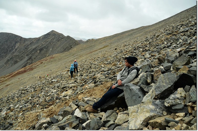
Grays Peak's north slopes
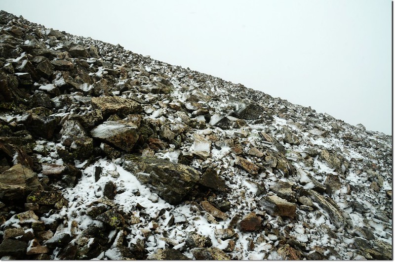
12:10 抵達鞍部下一處未融化的雪原,過了這雪原後就是鞍部了。
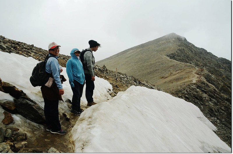
Unmelted snowfield near the saddle
12:15 抵達Grays Peak與Torreys Peak之間的鞍部,眼看貝貝和女兒有點疲憊的步伐實在心有不忍,但貝貝可是硬不服輸,撐到山頂應是沒問題的;
Near the Grays-Torreys saddle
此處海拔約13,700呎(4,176公尺),距登山口約3.5哩,離Torreys Peak山頂大約還有半哩路(800公尺)。
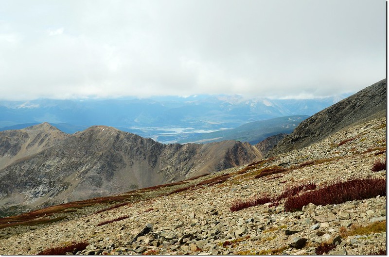
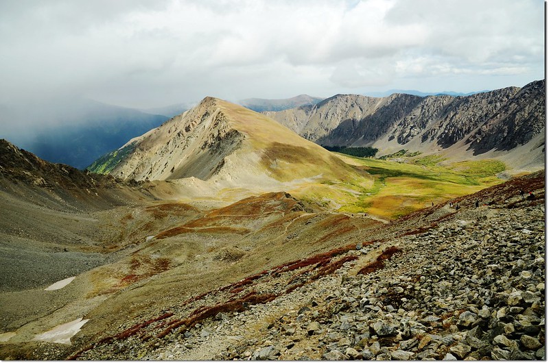
View to West from the saddle, Dillon Reservoir can be seen in the distance
由鞍部往南上攀約570呎( 174公尺)可登Grays Peak,往北攀登約567呎( 173公尺)可登Torreys Peak,兩條路線各約半哩路,我們取右北攀Torreys Peak,此時西眺Dillon方向和東眺Mount Evans方向已是烏雲密佈,昨晚看了氣象預報天氣是不錯的,但高地氣候誰也無法預料,還是早點登頂早點下山。
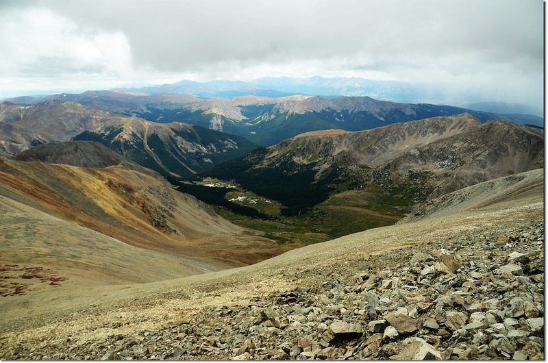
Looking down onto Chiuahauhau Gulch from Torreys
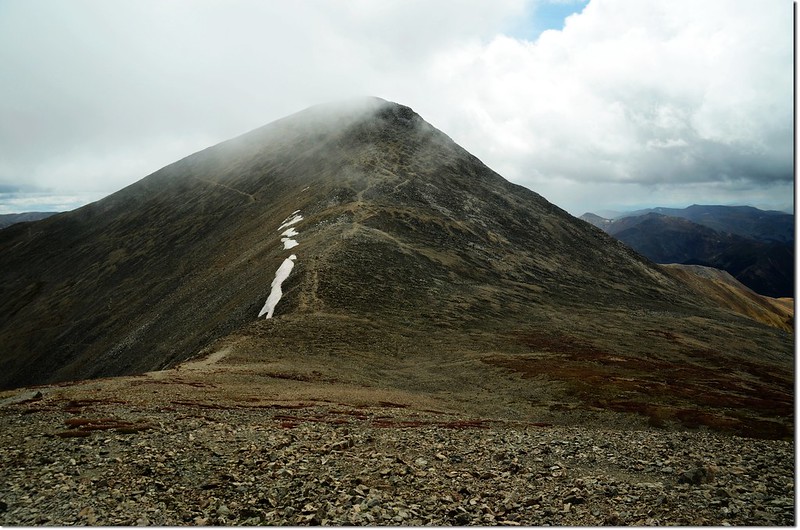
Grays Peak from Torreys Peak south slope
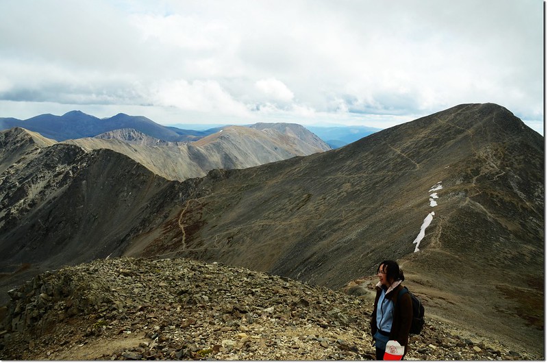
View to East from Torreys peak
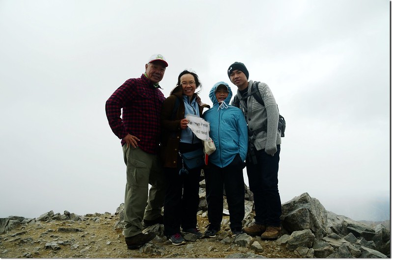
13:05 拖著疲憊的步伐,貝貝登頂了,這是女兒及貝貝的第五座14ers;Torreys Peak海拔14,267呎(4,349公尺),在科羅拉多州正式列名的53座14ers中排名第十一,隸屬於Front Range,算是距離丹佛蠻近的一座高山。
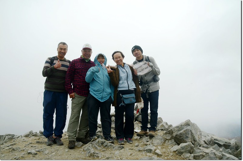
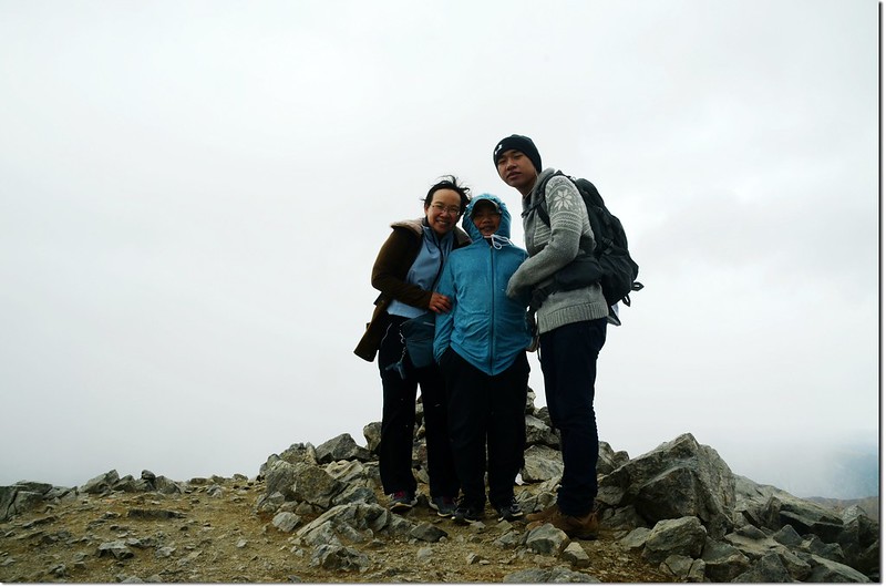
The summit of Torreys Peak (與山友王先生合影)
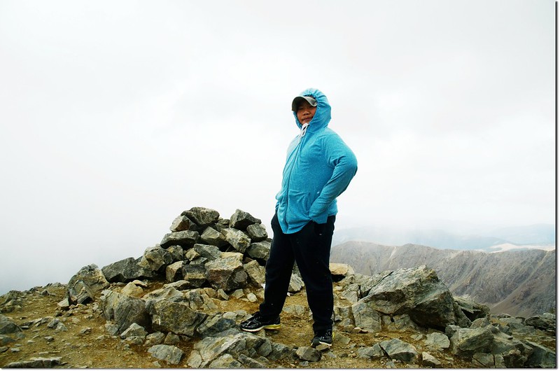
The summit of Torreys Peak
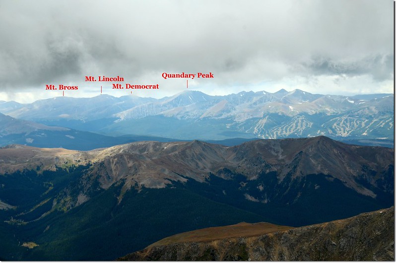
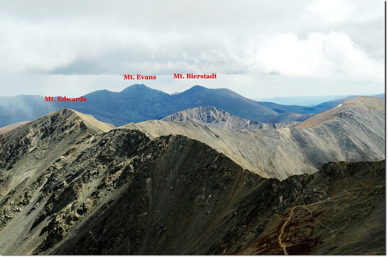
Quandary Peak seen from Torreys' summit(M),Lincoln group is in the left(四座皆為14ers)
看著四週烏雲密佈,和王先生及家人拍照後匆忙下山;
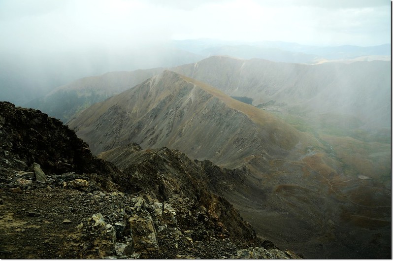
Far away mountians are starting to storm
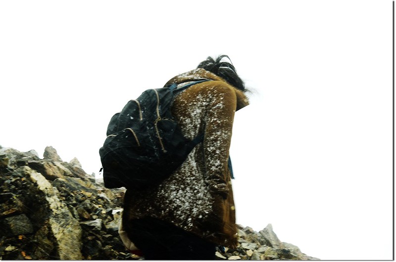
但還是來不及,從山頂下撤不到百公尺冰雹、風雪隨即呼嘯而來,空曠的迎風坡無處可逃,更是前進不得,在山頂就叫大孫子豆豆先行下山,此時已不見他蹤影,只剩我和女兒、貝貝及王先生殿後,我們就忤在原地背對著冰雹、風雪認憑襲打,沒帶雨具、厚外套,真怕女兒及貝貝凍傷;此時一位老美拉著一對年幼子女跑下山,他們差十公尺登頂還是放棄了,那一對子女被他們爸爸(應該是)拉著跑,那種淒厲的哭喊聲聽了真是於心不忍。
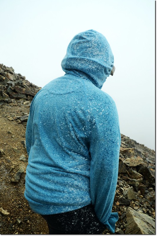
The jacket is full of snow
過了約十來分鐘看樣子風雪並沒有稍歇的樣子,只好趁風勢小一點時小心下撤;
The slope is full of snow
費了半小時好不容易由鞍部切回Grays Peak北坡背風面情況才稍為好轉;
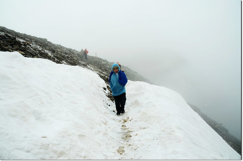
Throught the snowfield
找一處大石頭避風處讓貝貝填一下肚子再下山。
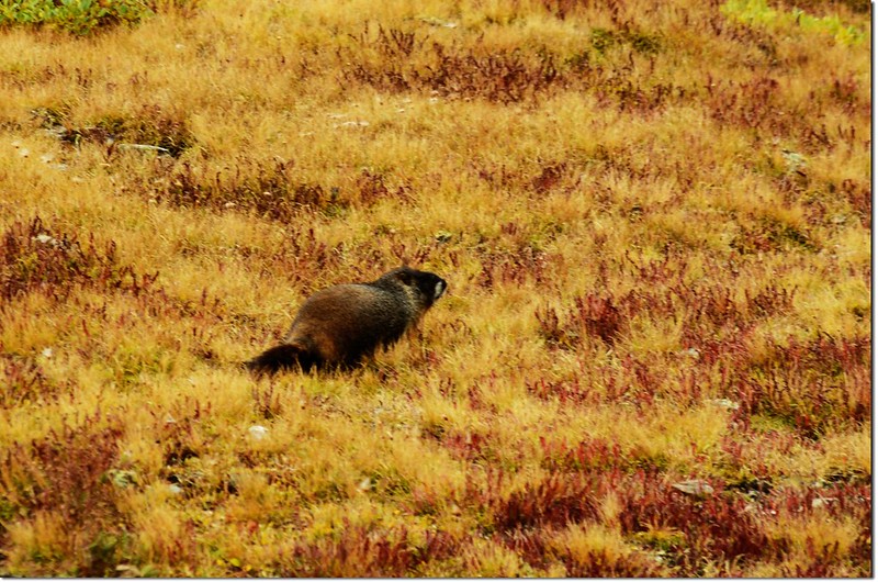
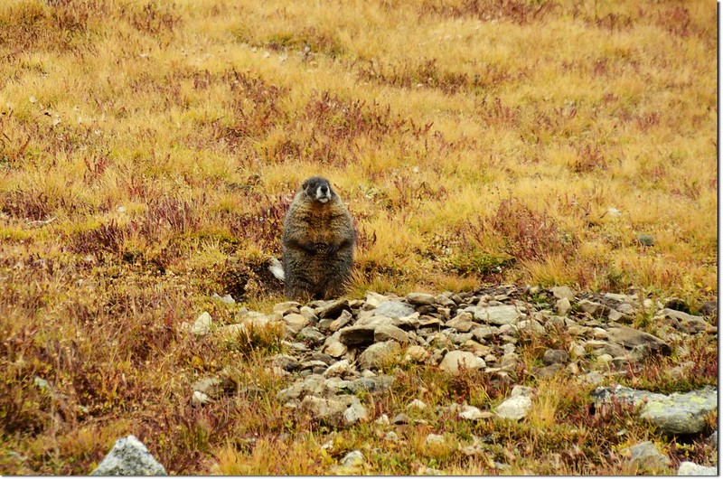
好大一隻 Marmot
我們於下午四點半左右下抵登山口,彷彿劫後餘生般的喜悅,此山上山我們走了4小時45分,下山則走了3小時20分鐘,算是驚險的一次登山經歷吧!
Finally did it !
--------------------------------------------------------------------------------------------------------
行車路線圖(Thornton→Grays Peak Trailhead):
沒有留言:
張貼留言