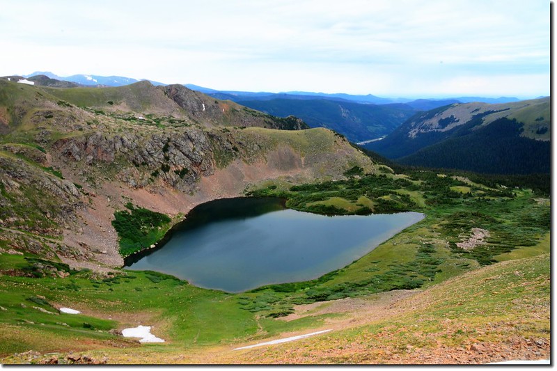
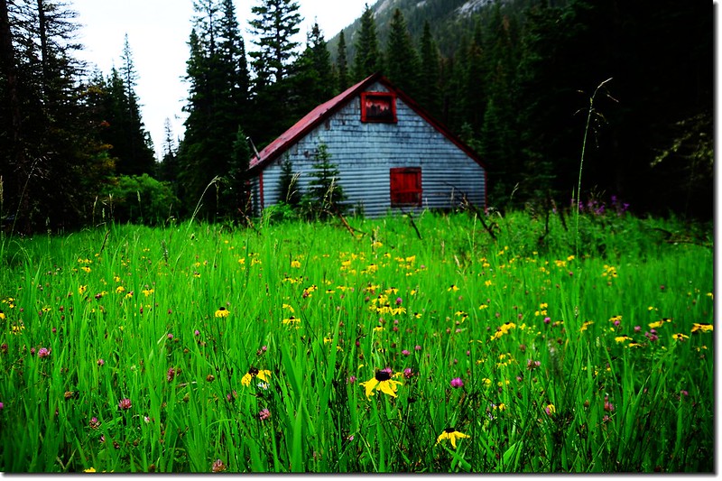
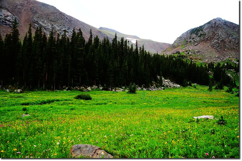
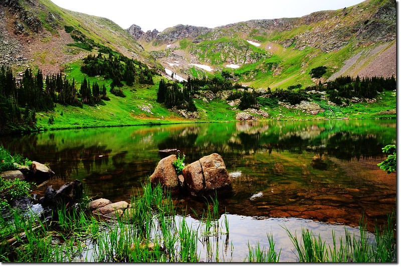
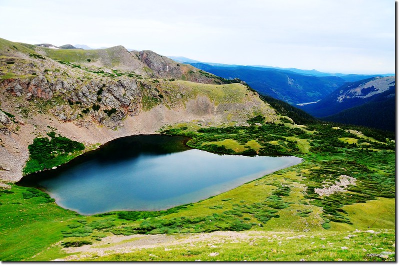
Heart Lake
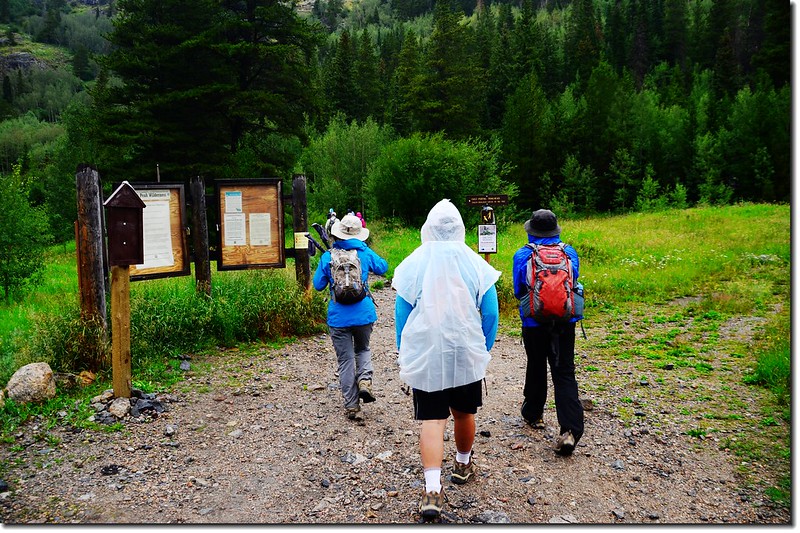
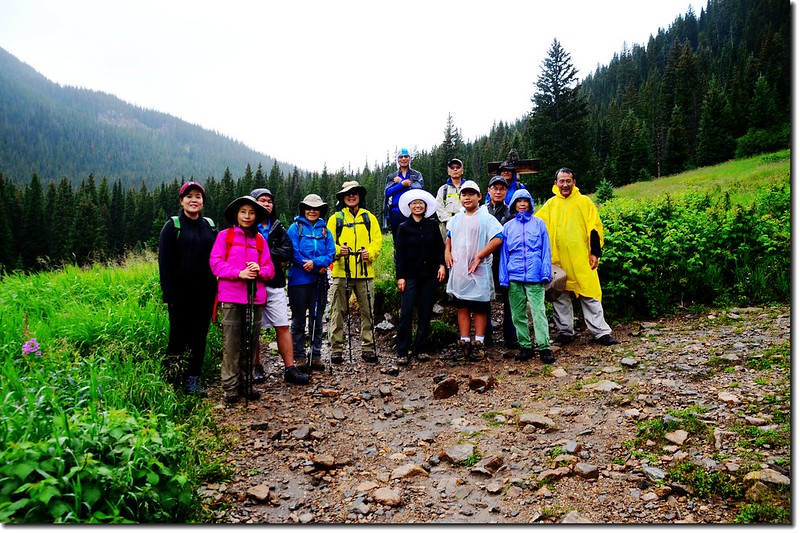
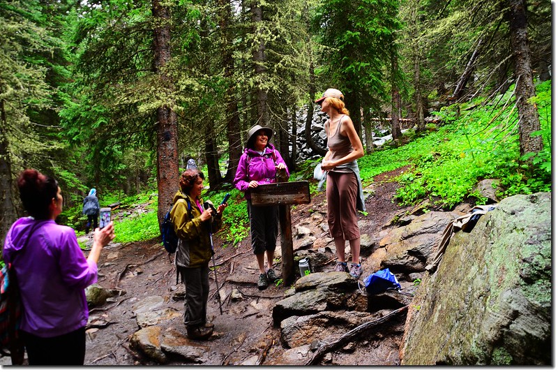
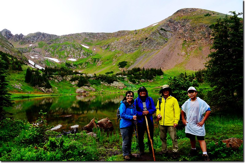
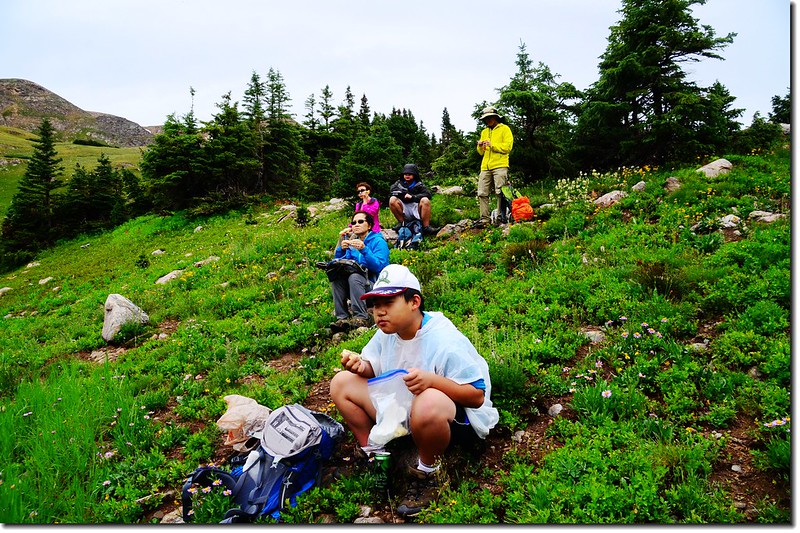
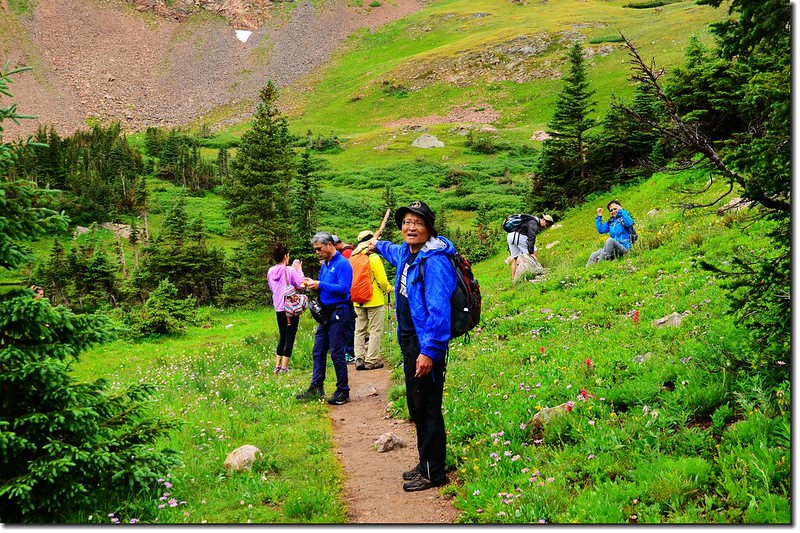
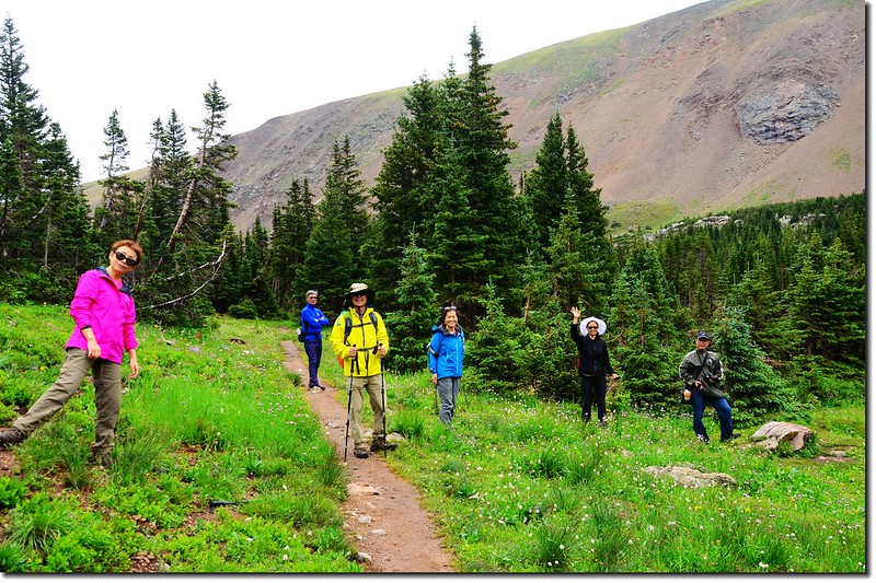
今天參加陳品菁女士、徐台誕先生號召的華人登山活動,攀登的是James Peak Wilderness範圍內的Rogers Pass Lake,雖然下著雨,氣象預報全天天候很不理想,但參加活動人員熱情不減,計有14人參加。
登上Rogers Pass Lake用完中餐後下撤,但我和貝貝因為自行開車,向領隊報備後我們繼續往上攀登到Heart Lake,然後再登上落磯山脈大陸分水嶺(Continental Divide)的Rogers Pass,這是我第三度登此高山湖,而第二度由此登上大陸分水嶺。
---------------------------------------------------------------------------------------------------------------
步道名稱:South Boulder Creek Trail(No.900)、Rogers Pass Trail
登山口:East Portal Trailhead(海拔約9,220呎)
登山里程:全程來回約10哩(16公里)
爬升高度:約2,700呎/823公尺
---------------------------------------------------------------------------------------------------------------
行車資訊:
從Boulder走Boulder Canyon Road(CO 119)西行,16哩後抵Nederland小鎮,接Peak To Peak景觀公路(CO 119, CO 72)南下,行4.8哩抵Rollinsville,右轉E. Portal road (Rollins Pass)西行,約7.5哩後行車終點(Moffat Tunnel)即為登山口,此處是Union Pacific Railroad火車隧道的東入口。
行程記錄:
09:35 從登山口East Portal Trailhead出發;
East Portal Trailhead
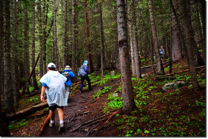
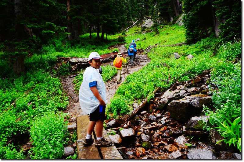
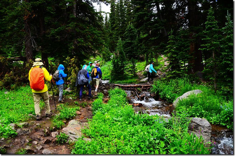
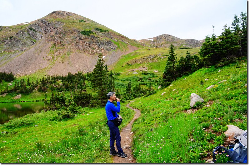
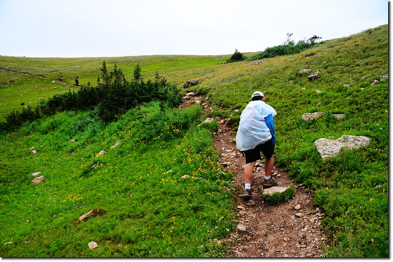
今天主要是沿South Boulder Creek Trail一路西南行,直到登上Rogers Pass Lake,領隊說看天候做好隨時下撤的準備。
09:40 路徑旁木牌標示距Rogers Pass為5哩。
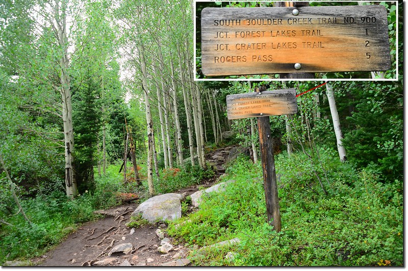
South Boulder Creek Trail
09:43告示牌標示進入James Peak Wilderness範圍。
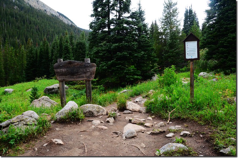
The sign of James Peak Wilderness
Wildflowers along the trail
10:05抵達大草原 Forest Lakes Trail 岔路(距登山口1.25 哩,海拔 9,555呎),右岔往Forest Lakes不取,取左直行。
Forest Lakes & Rogers Pass Lake junction
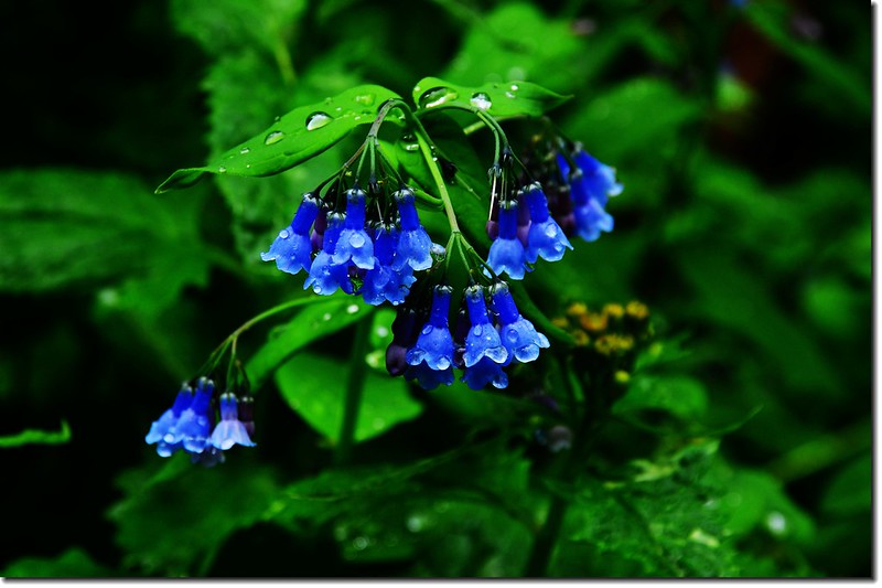
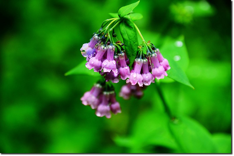
Tall chiming bells
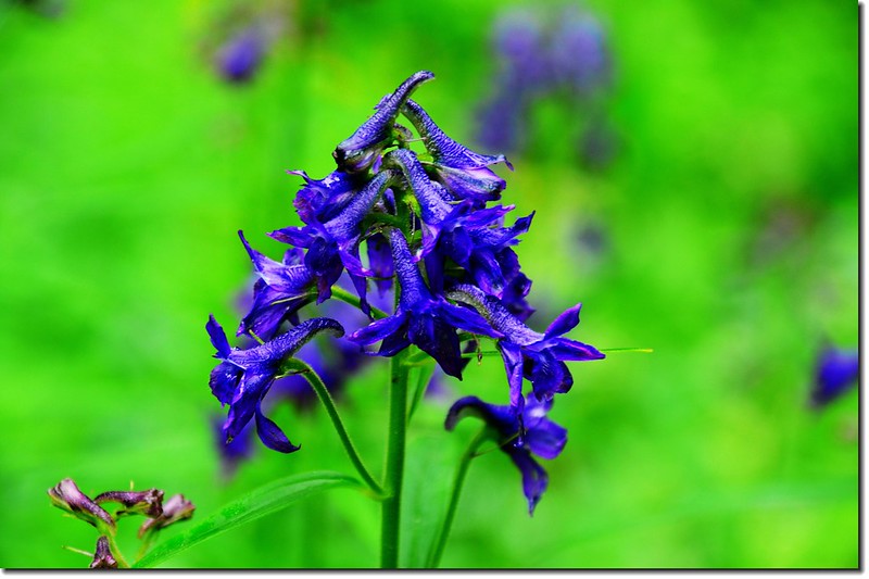
Subalpine larkspur
10:30 抵 Crater Lakes Trail 岔路(距登山口1.95 哩,海拔 9,930呎),,右岔往Crater Lakes 不取,取左上;
The fork to Crater Lakes(R) and Rogers Pass (L)
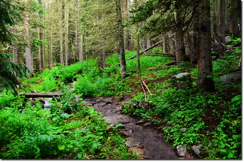
登山步道在杉林中緩升。
South Boulder Creek Trail
10:48抵一座橫跨小溪上有單面扶手之小橋(距登山口2.35哩,海拔10,090呎),在此之前約30公尺處先過一沒有扶手之兩根原木橋;Clayton Lake登山口在單面扶手橋頭前(未過橋)右岔上山,沒有標示,路徑極不明顯易錯過,直行過橋往Rogers Pass Lake和Heart Lake。
The fork to Clayton Lakes(R) and Roger's Pass (L)
11:05抵第二座橫跨小溪上有扶手之小橋(距登山口2.65 哩,海拔 10,260呎)。過小橋後約30公尺右側有兩棵大杉木,中間一條小徑,入口處有一大倒木橫著,此為直上Heart Lake的小徑,七年前登Heart Lake時下山係走此路下山;取左直行。
The shortcut to Heart Lake
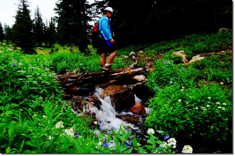
11:42 抵第三座橫跨小溪上無扶手之小橋(距登山口3.48哩,海拔 10,774呎),橋右有小瀑布;過小橋後步道坡度有點陡,還算好走。
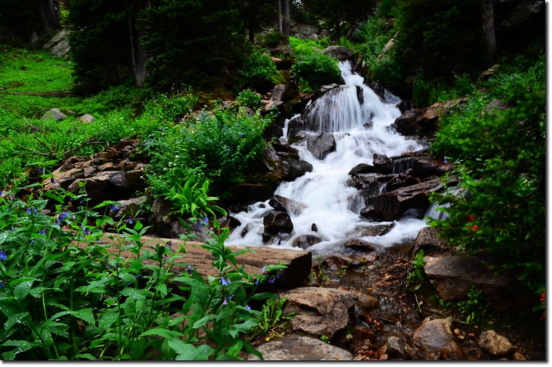
Crossing the creek on a wooden bridge
Jacob crossing the creek on a wooden bridge
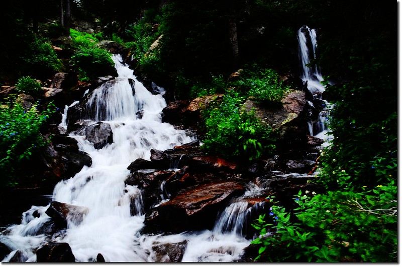
Cascade along the trail
11:55 抵一立有“Camping prohibited within 100 feet of water”木牌處;
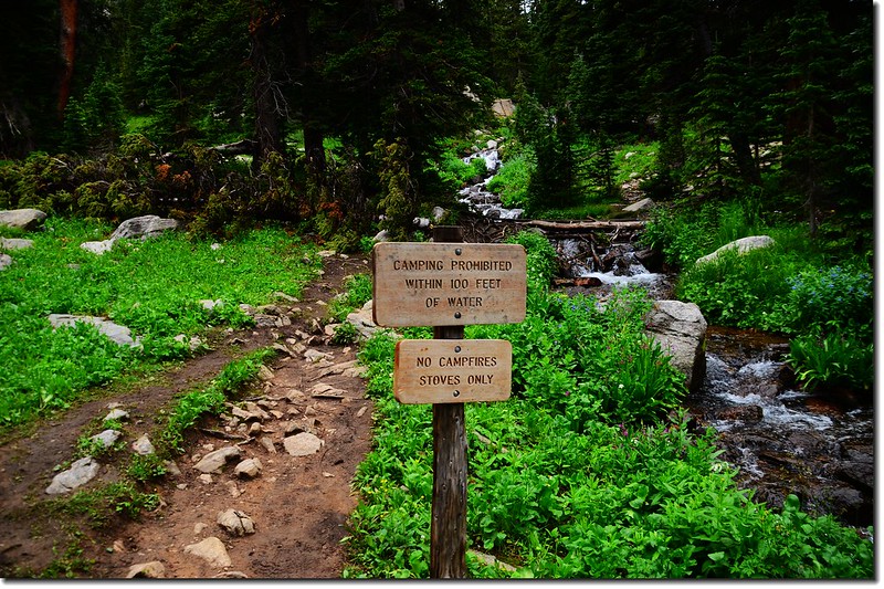
The makeshift bridge cross the creek
前行數步跨過小溪(距登山口3.68哩,海拔 10,995呎),,溪上以簡單四、五根樹幹橫跨其上,過小溪後續沿小溪右岸往上行。
Cross creek on makeshift bridge
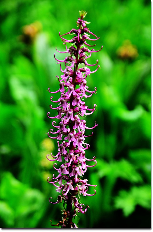
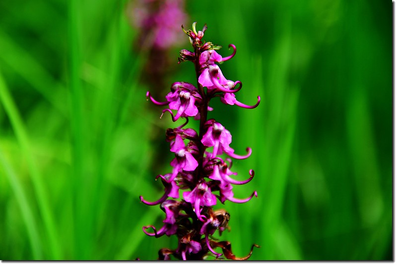
Elephant Head Flower
James Peak & Haystack Mountain from South Boulder Creek Trail
James Peak from Rogers Pass Lake
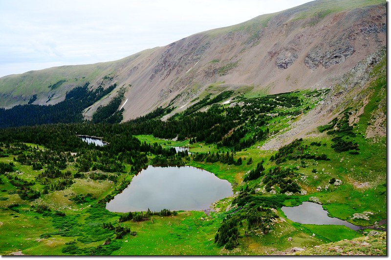
12:10 抵達Rogers Pass Lake(距登山口4.05哩,海拔 11,090呎),在湖的東岸有一些隱密的營地,更可展望Haystack Mountain (11,780呎)、Rogers Pass (11,860呎)和 James Peak (13,294呎)。環湖一周後在湖邊用餐。
Rogers Pass Lake
Taken from Rogers Pass Lake
Taken from Rogers Pass Lake
Taken from Rogers Pass Lake
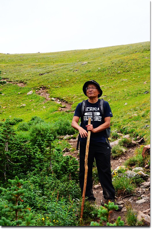
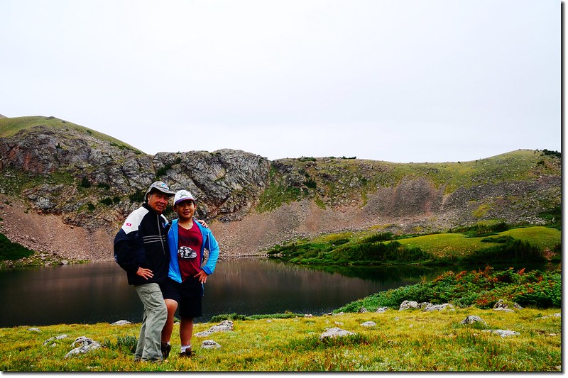
12:40 用完餐後山友們下山,貝貝想繼續上Heart Lake和Rogers Pass,我和貝貝因為自行開車,向領隊報備後我們繼續往上攀登到Heart Lake,然後再登上落磯山脈大陸分水嶺(Continental Divide)的Rogers Pass。
Taken from Rogers Pass Lake
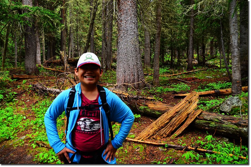
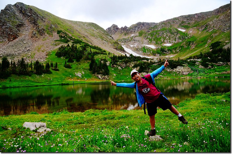
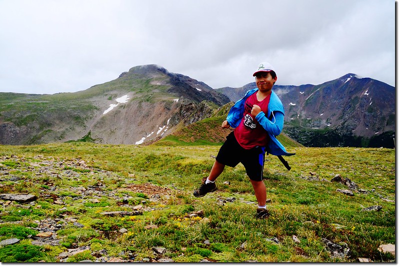
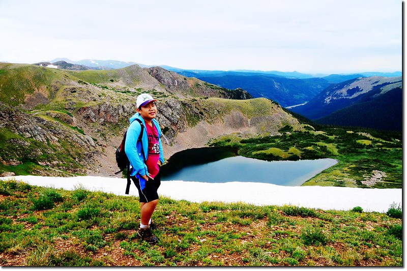
Jacob on his way up to Heart Lake
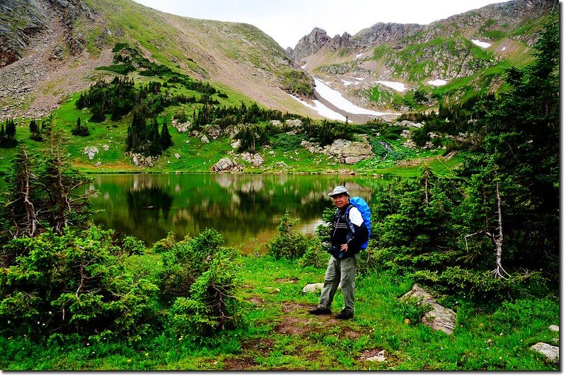
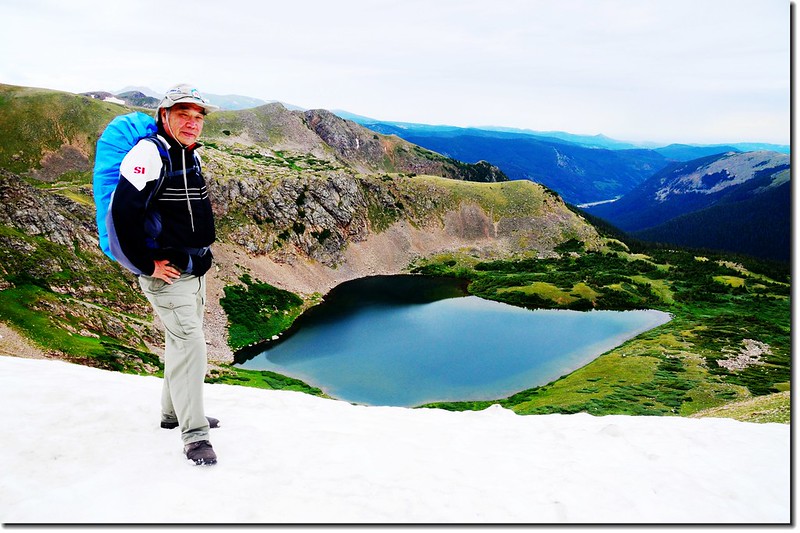
Tony on his way down to Rogers Pass Lake
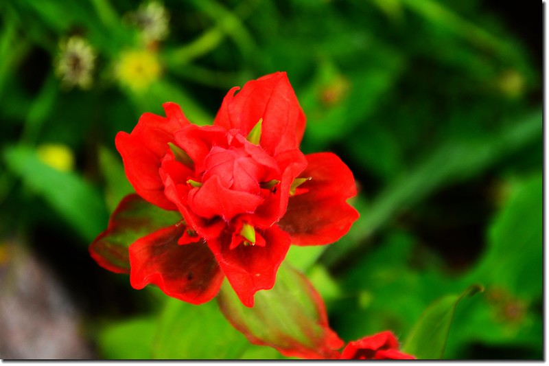
Paintbrush flower
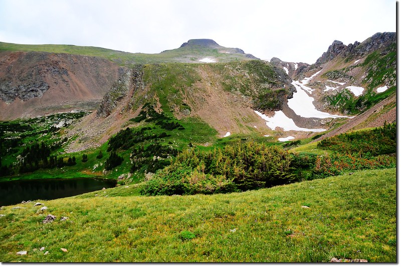
12:54 登上Rogers Pass Lake北岸稜線Heart Lake 和 South Boulder Creek Trail 岔路 (距登山口4.35哩,海拔 11,347呎),向北俯瞰Heart Lake,往南回望Rogers Pass Lake。
Looking down at Rogers Pass Lake from a ridge above Heart Lake
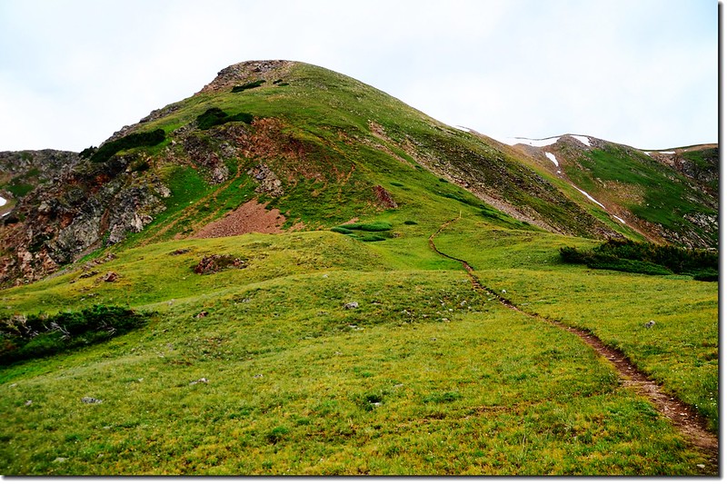
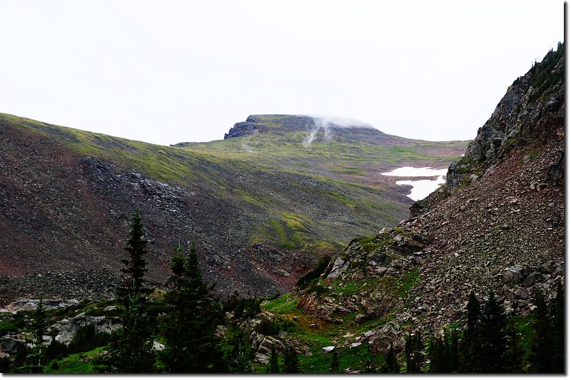
The Rogers Pass Trail wraps up the Heart Lake basin and headwall to the Continental Divide
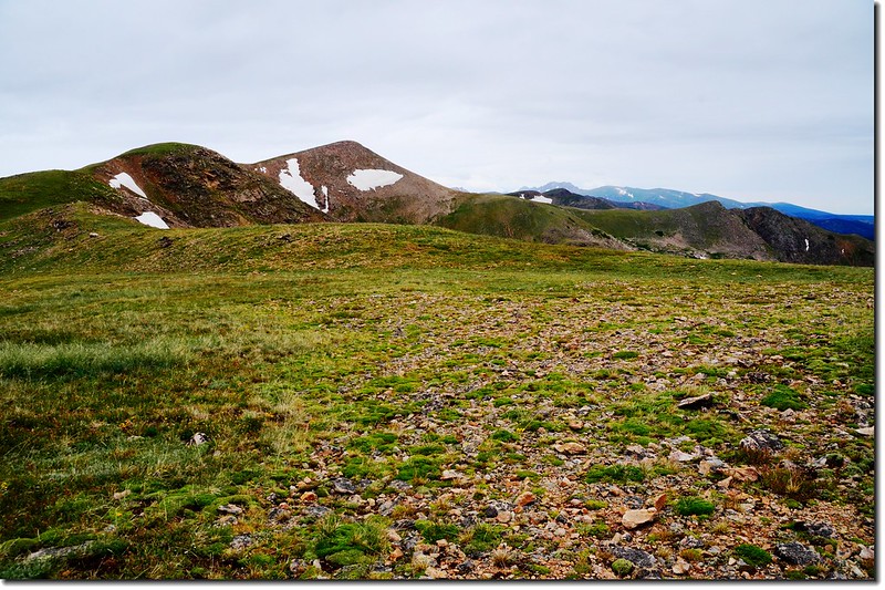
James Peak from Rogers Pass Trail
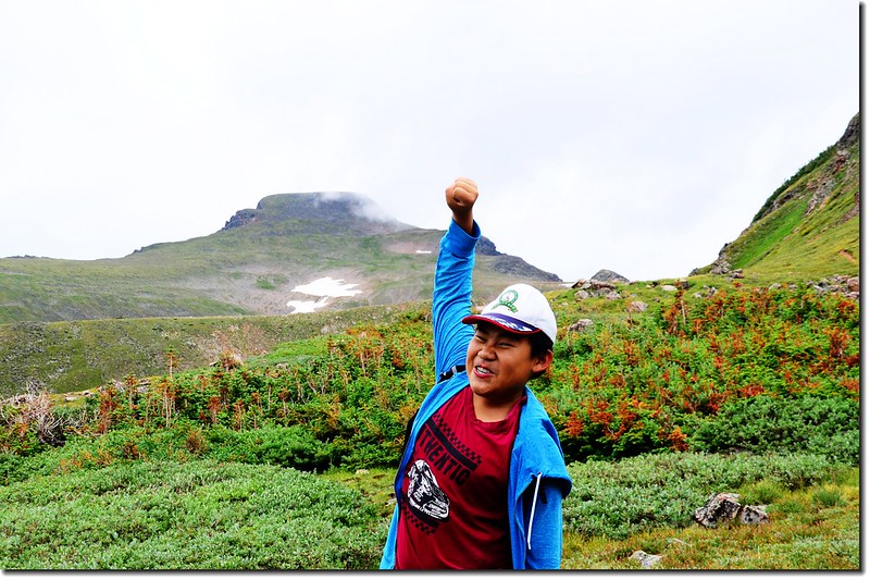
下去Heart Lake繞一圈後再接回South Boulder Creek Trail,貝貝堅持要登上大陸分水嶺(Continental Divide) Rogers Pass;
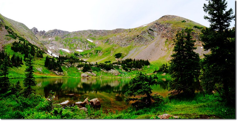
James Peak from Heart Lake
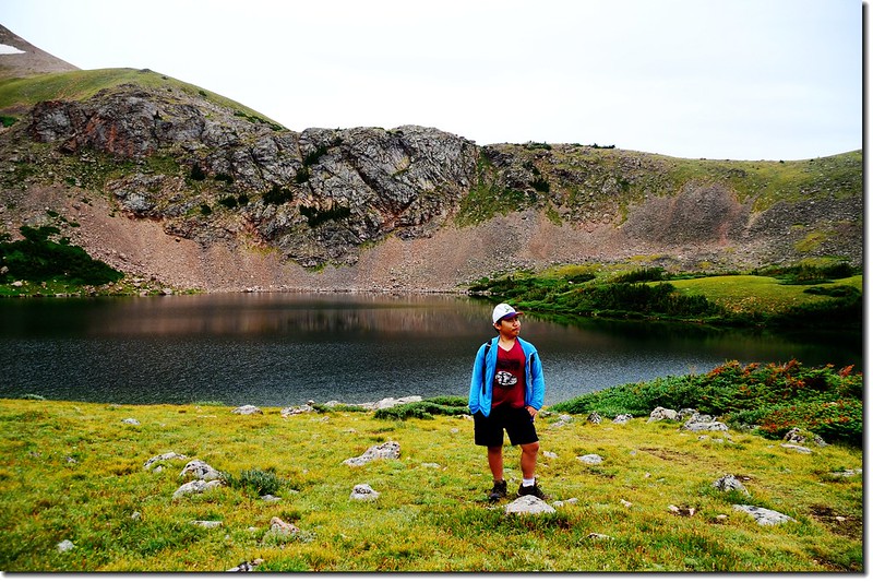
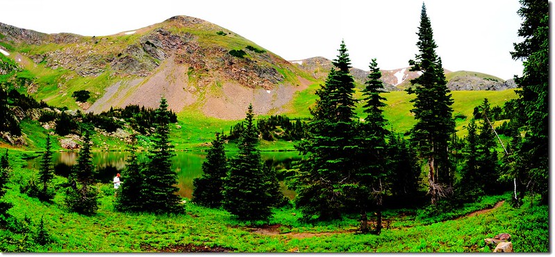
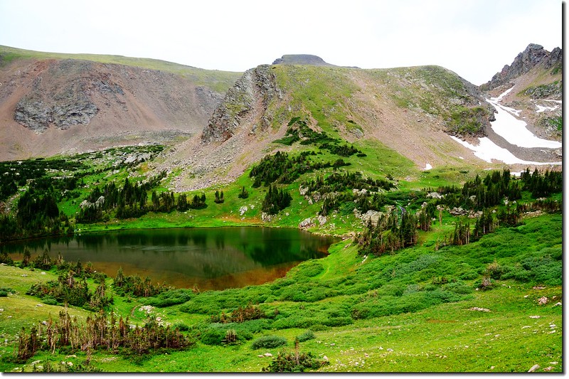
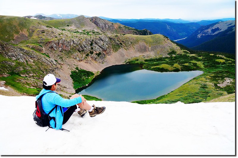
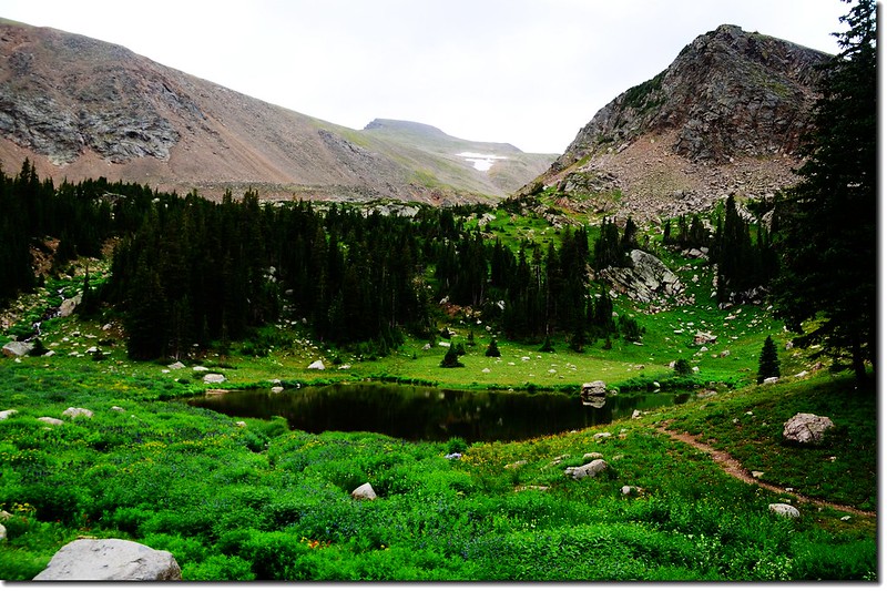
Heart Lake, James Peak Wilderness
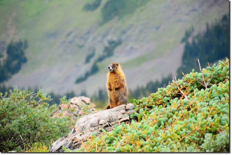
Marmot
從Heart Lake登上大陸分水嶺約有半哩路,但須爬升約五百多呎,算是蠻陡的,登山小徑一路“之”字形往上盤升。
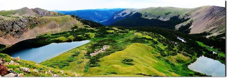
View of Heart Lake (left) and Rogers Pass Lake (right) from the Rogers Pass Trail
Looking down at Rogers Pass Lake from the Rogers Pass Trail
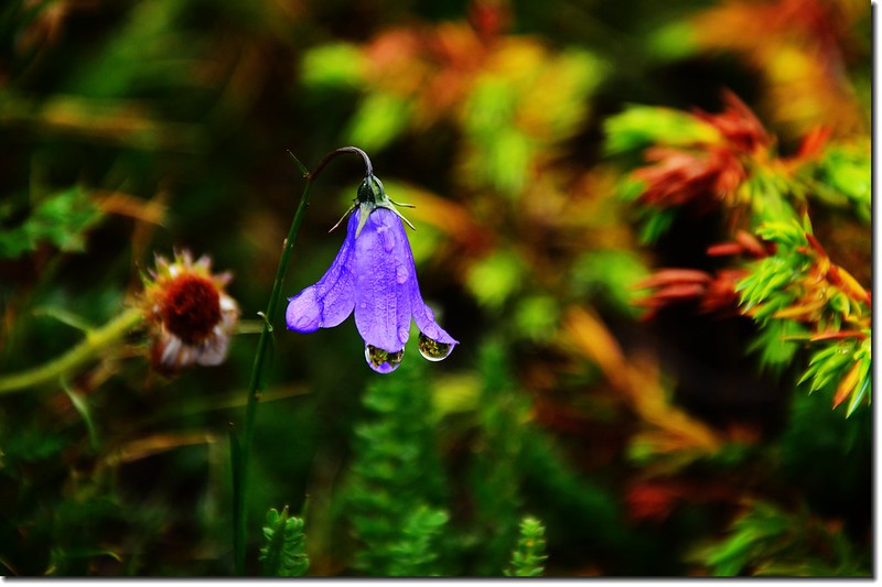
Mountain Harebell
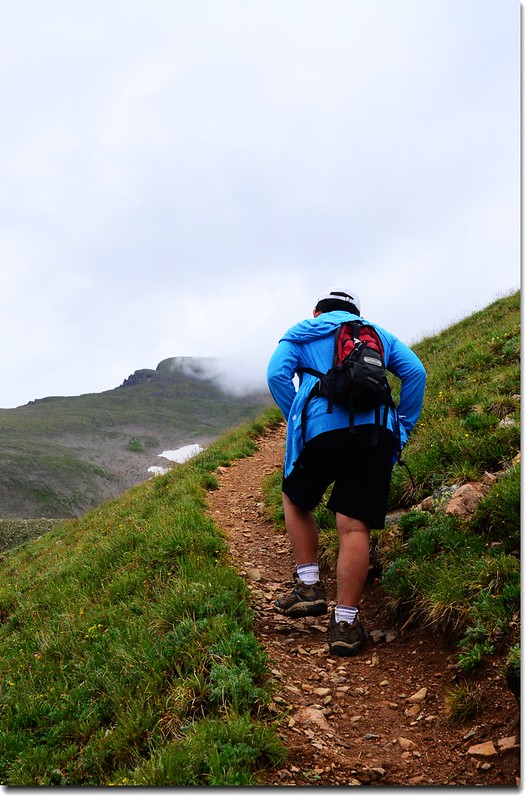
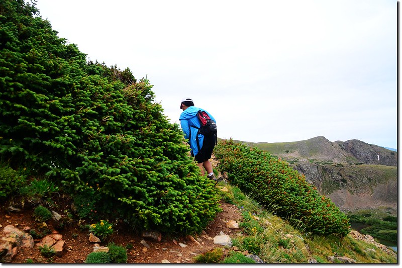
Jacob on his way up to Rogers Pass
Looking down at Heart Lake from the Rogers Pass Trail
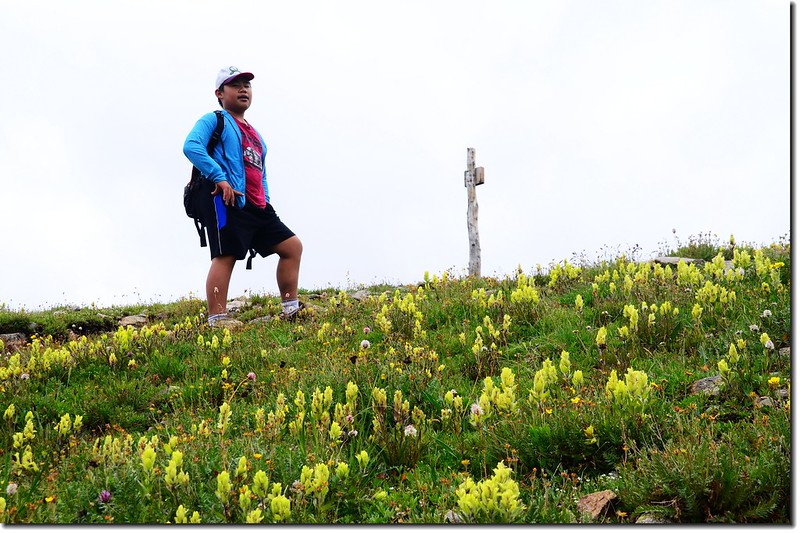
Jacob on the top of Rogers Pass
13:50 登上大陸分水嶺(Continental Divide),此處海拔約11,900呎/3,627公尺,距登山口約5.0哩。
站在大陸分水嶺稜線上南眺海拔13,294呎(4,052公尺)的James Peak,此山在三年前曾帶貝貝由St. Mary’s Glacier攀登過,他常常以此自豪;
Looking South from Continental Divide at James Peak
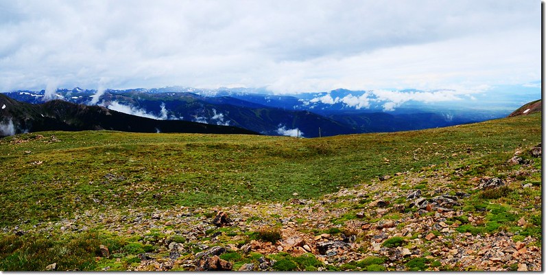
北望落磯山脈分水嶺連稜;
Looking North from Continental Divide at Rocky Mountains
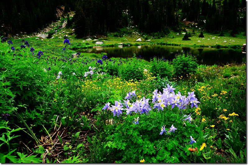
東邊俯瞰雪原底下的Heart Lake,所謂Heart Lake就是看起來就像一個“心”形的湖,在湖邊看不太出來,登上制高點後就看得清楚了,但貝貝說他看起來倒比較像嬰兒胸前的圍兜~bib,應該叫Bib Lake,好有創意的聯想!
Looking down at Heart Lake from the Continental Divide
Looking West from Continental Divide at James Peak
在分水嶺上待一陣子後循原路下山。
14:20 下抵Heart Lake。
14:35 下抵Rogers Pass Lake。
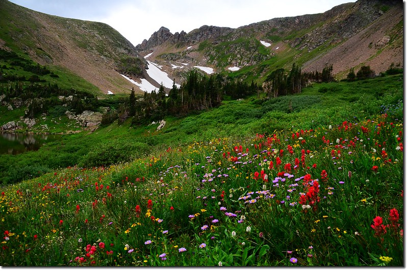
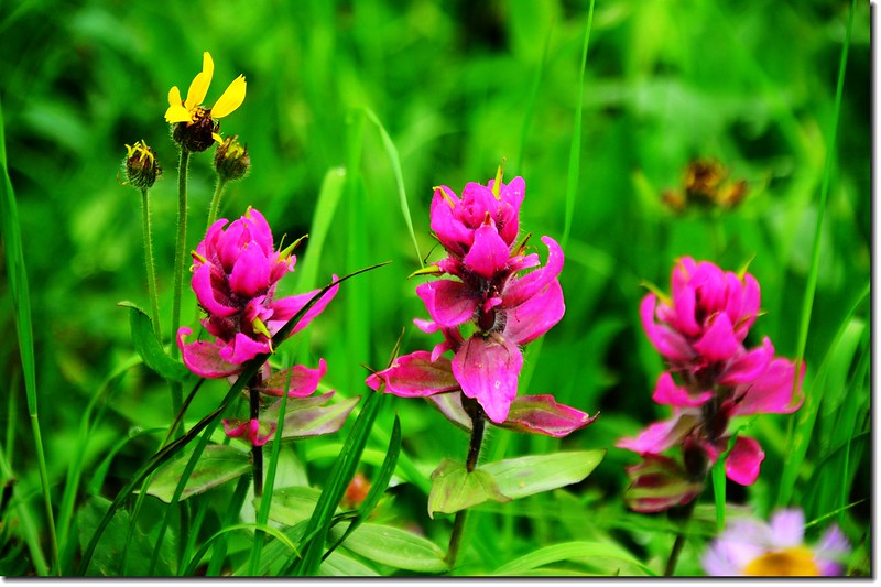
Wildflowers along the trail
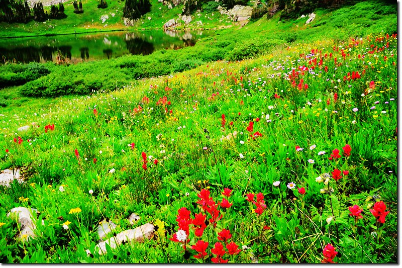
14:44 抵Rogers Pass Lake左下方一無名小湖,湖邊野花盛開,James Peak矗立在後方,在此方向看James Peak山形特別美;
The unnamed lake below Rogers Pass Lake
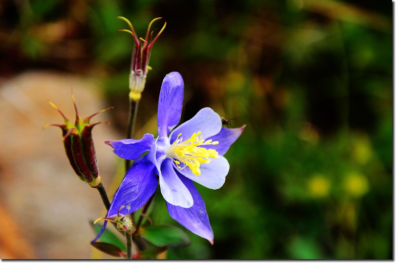
Blue Columbine
The unnamed lake is surround by wildflowers
在步道左邊另有一座較大無名湖,湖邊石頭居多。
Wildflowers along the trail
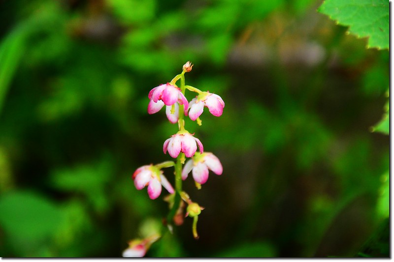
鹿蹄草(美洲稱之為Pyrola)
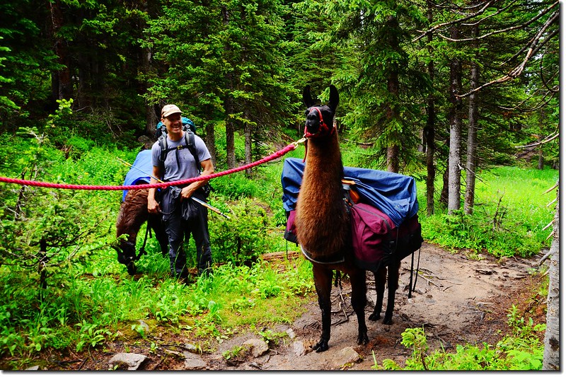
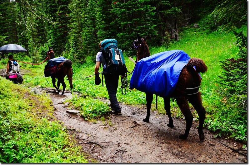
llama on the trail
17:25 返抵登山口,整裝後開車回家。
★ 行車路線圖
★ →點此看放大圖