Mount Neva(L) and Lake Dorothy
今天帶貝貝參加徐台誕先生和陳品菁女士號召的華僑登山隊去攀登Indian Peaks Wilderness Area最高湖泊Lake Dorothy,該湖泊三年前曾帶豆豆和貝貝去攀登過,登山口在Eldora的Fourth of July Trailhead,我和陳領隊約好九點在登山口會合。
Fourth of July Trailhead已去過不計其數,大多數是去攀登Diamond Lake,而今天要走的Arapaho Pass Trail我也走過兩三次,所以路況已非常熟悉。
-----------------------------------------------------------------------------------------------------
攀登湖泊:Lake Dorothy(海拔12,061呎/3,672公尺)
登山口:Fourth of July Trailhead(海拔10,172呎/3,100公尺)
爬升高度:約2,000呎/610公尺
登山里程:7.3哩/11.68公里
登山時間:5小時30分
-----------------------------------------------------------------------------------------------------
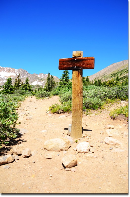
Fourth of July Trailhead
西元1872年7月4日一位C.C. Alvord者發現在Middle Boulder Creek的北支流地區蘊藏有銀礦,因而在此成立名為“Fourth of July”的礦場,營運幾年後由於礦場是建立在Middle Boulder Creek的北支流上方河邊,為了處理滲水及排水而增加採礦成本,因之拖垮了礦場利潤,終在1880年關廠;二十年後,新的一批合夥人試圖從礦區改採銅礦,但後來還是沒有成功,時至今日礦區僅遺留幾具生鏽的機具和廢墟供人憑弔。
現在的Arapaho Pass Trail就是當年“Fourth of July Mine”的通道,登山口因此以“Fourth of July”來命名。
行車指南:
由小城Boulder沿CO 119公路西行往Nederland,到Nederland之後轉往南沿CO 119(CO 72,Peak To Peak )走0.5哩右轉,沿County Road 130往小鎮Eldora,過Eldora後再走約5哩的石子路,路盡頭即為Fourth of July Trailhead,備有停車場及廁所。
實際步程:
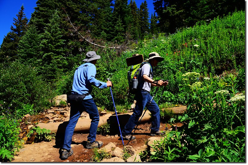
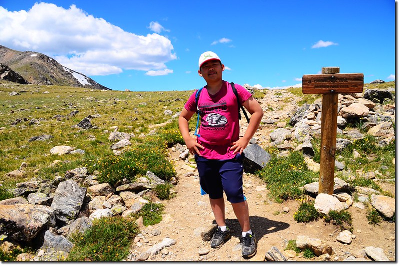
09:55 登山口出發,海拔10,172呎(3,100公尺)。
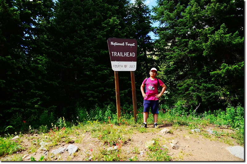
Fourth of July Trailhead
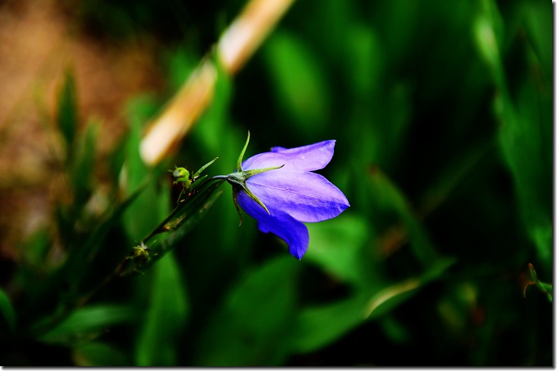
Mountain Harebell
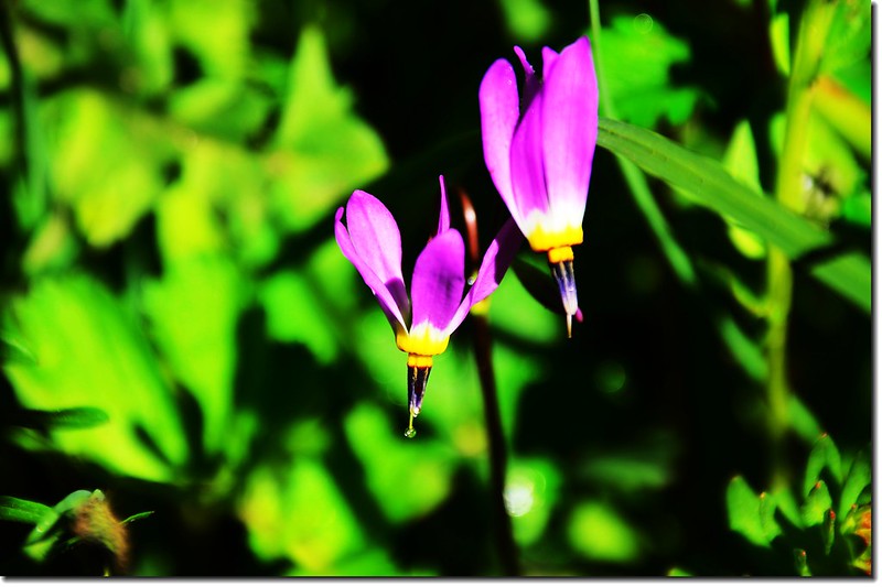
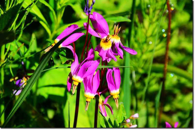 Shooting Star flower
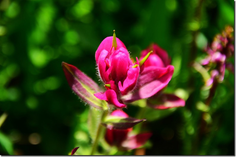
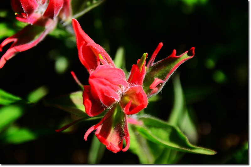
Indian paintbrush flower

Mountain view from Arapahoe Pass Trail
10:28 經過小溪形成的小瀑,正值融雪期水量不小!

Jacob crossing a waterfall stream on the Arapaho Pass trail
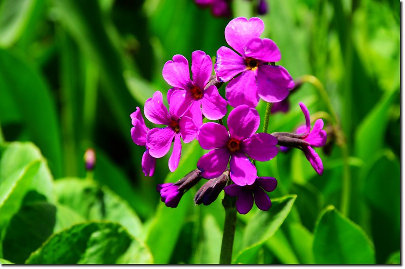
Parry primrose

Monkshood flower
10:35 抵達Diamond Lake Trail岔路,海拔約10,750呎(3,277公尺),距登山口1.15哩;
Diamond Lake & Arapahoe Pass Trail junction
左往Diamond Lake Trail不取,右彎續走Arapaho Pass Trail。
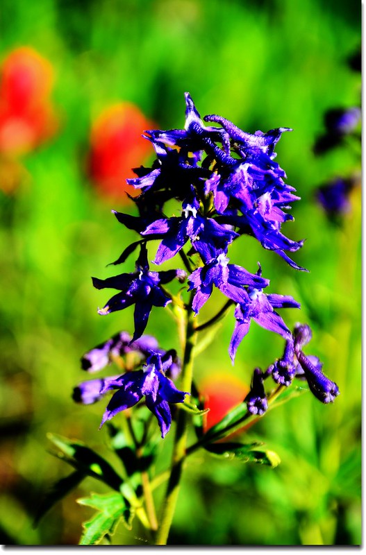
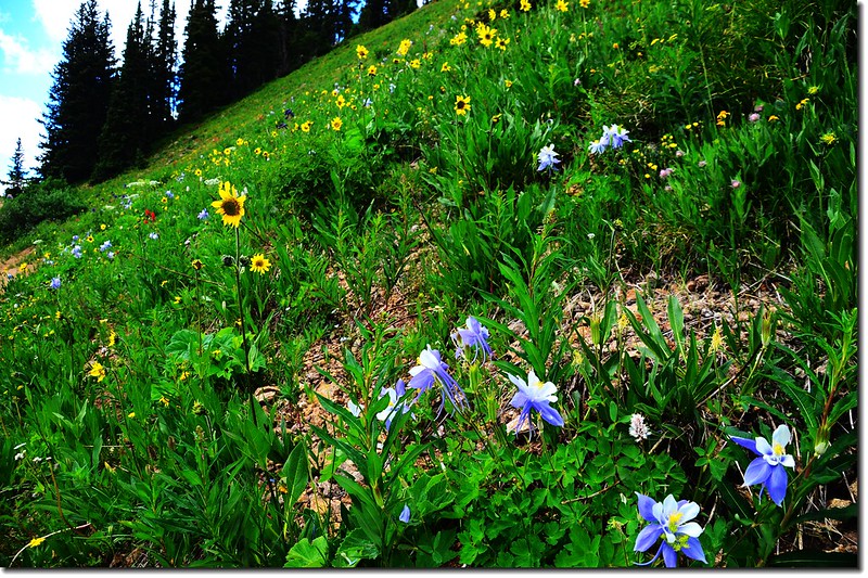
Subalpine larkspur
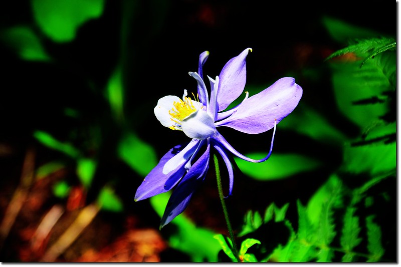

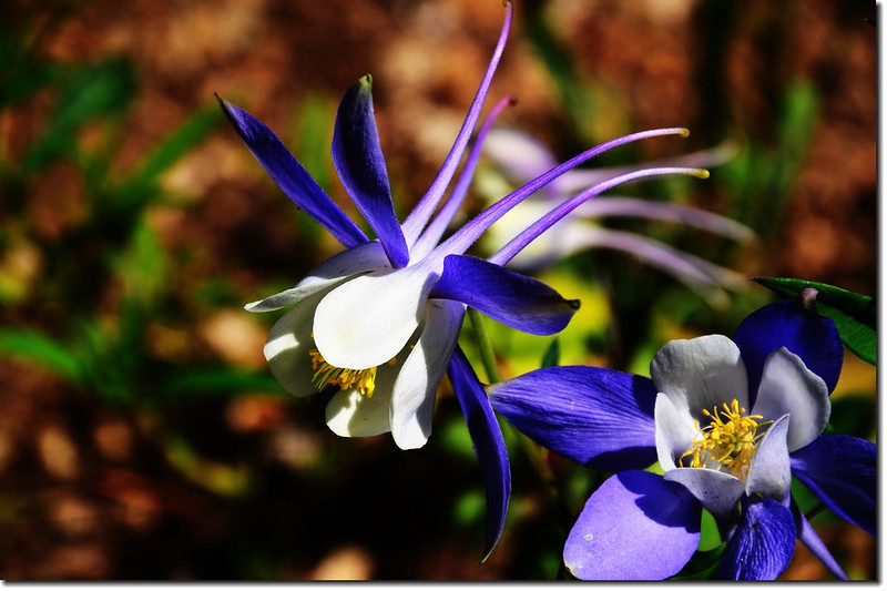
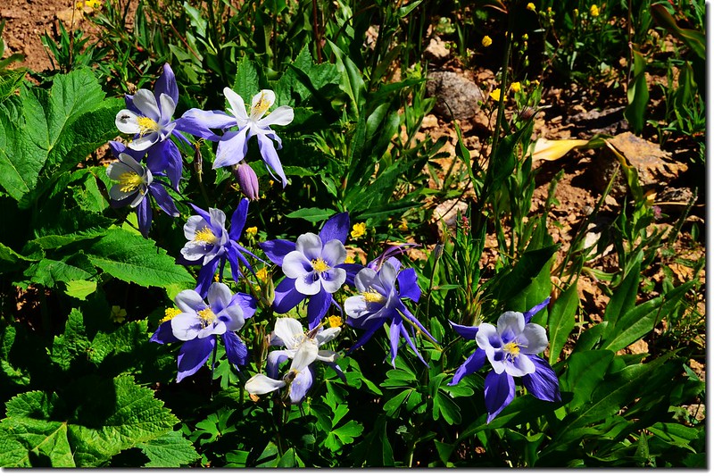
Blue Columbine
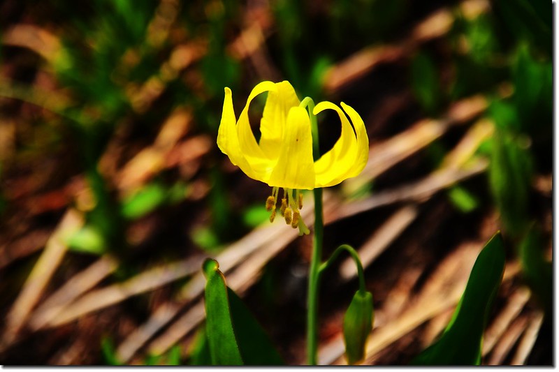
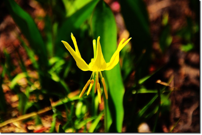
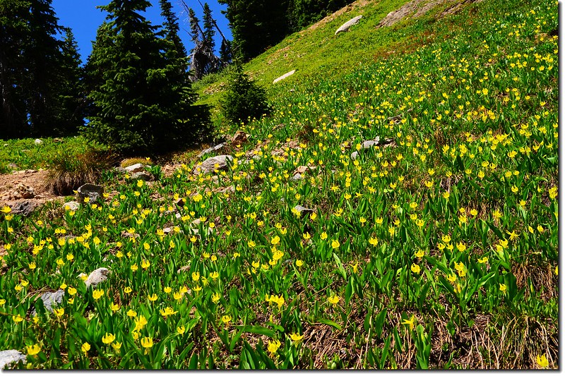
Glacier Lily
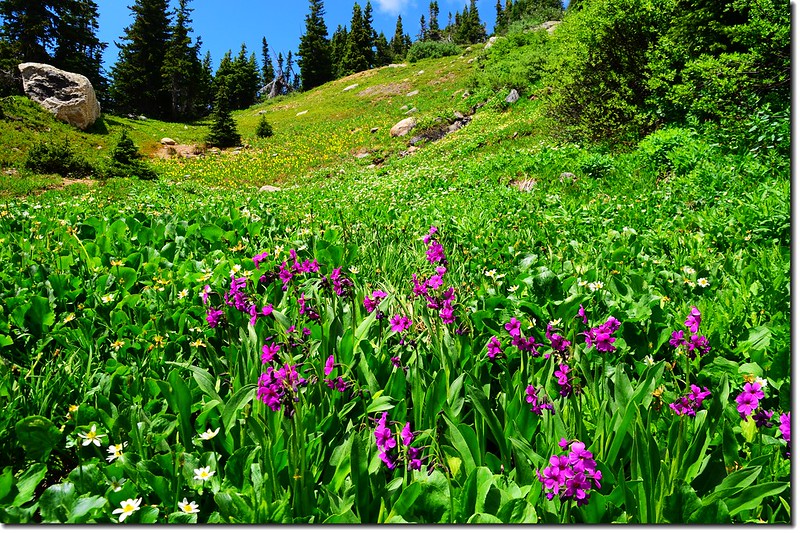
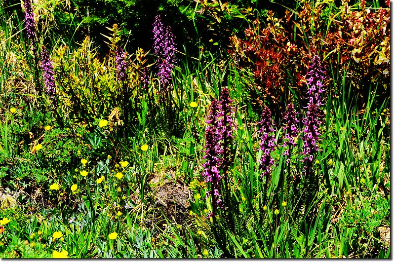
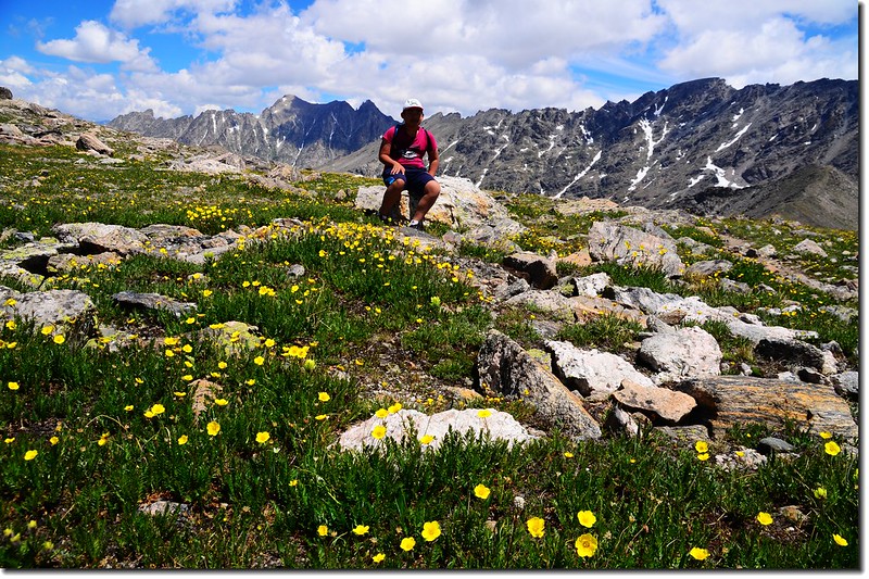
高山野花盛開,沿途野花綻放,美不勝收。
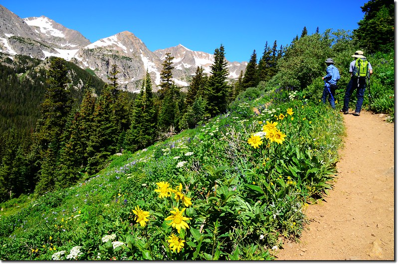
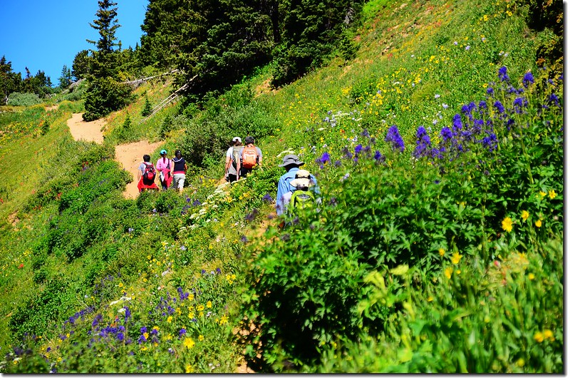
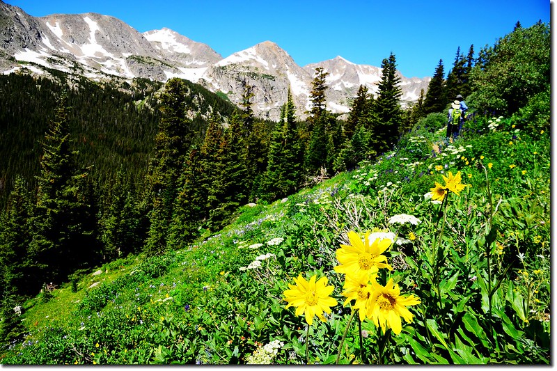
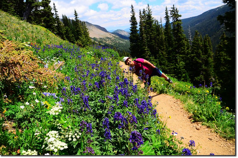
Wildflowers along the Arapaho Pass trail
Mountain view from Arapahoe Pass Trail
10:57 步道平緩稜線,海拔約11,100 呎(3,383公尺),距登山口約1.5 哩;
Damp、open areas near the Arapaho Glacier Trail split

Elephant Head Flower
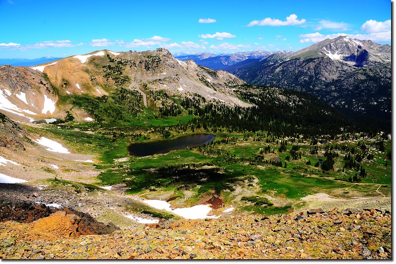
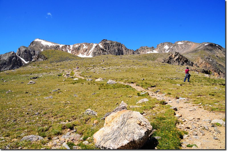
此後步道趨於平緩且有開闊、極佳視野的展望。
11:09 抵達Arapaho Glacier Trail岔路,海拔11,200呎(3,414公尺),距登山口約2.05哩;
Arapaho Pass Trail and junction with trail leading to Arapaho Glacier Overlook
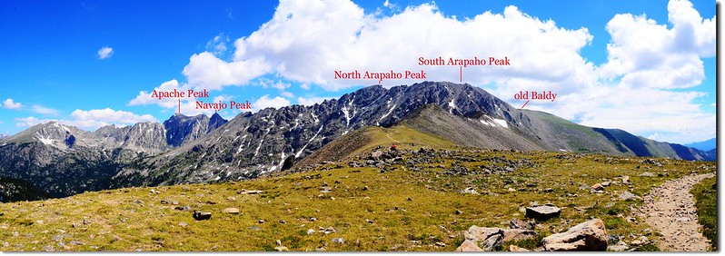
右轉為Arapaho Glacier Trail往South & North Arapaho Peak,取直行續往Arapaho Pass Trail,前行不遠右側有一處“Fourth of July Mine”礦場遺址(海拔11,250呎),該礦場在1870年代是以開採銀礦為主,現在僅留下一兩具大機具供人憑弔;

The abandoned Fourth of July Mine
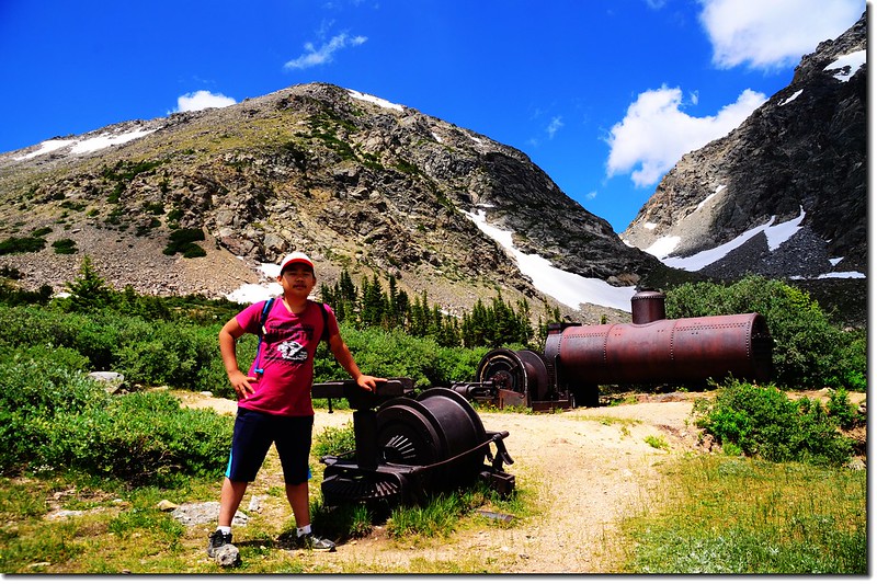
Fourth of July Mine Site
參觀後再切回Arapaho Pass Trail。
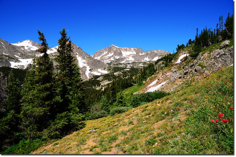
離開礦場遺址後不久步道進入石子路路段,雖然是亂石,但步道整理得平整寬闊,坡度是緩坡上升。
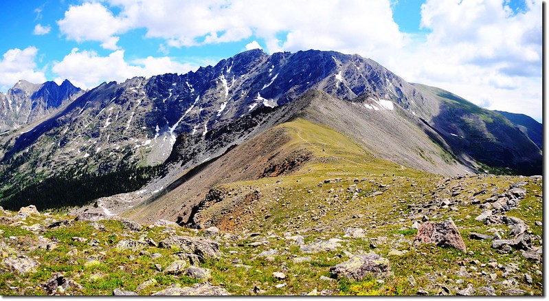
Mountain view from Arapahoe Pass Trail

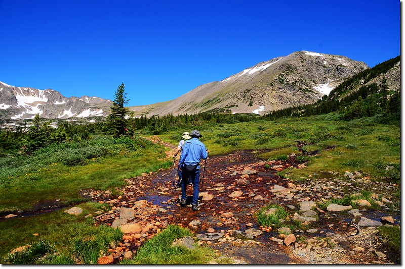
The upper valley is crossed by snow fed streams and tarns
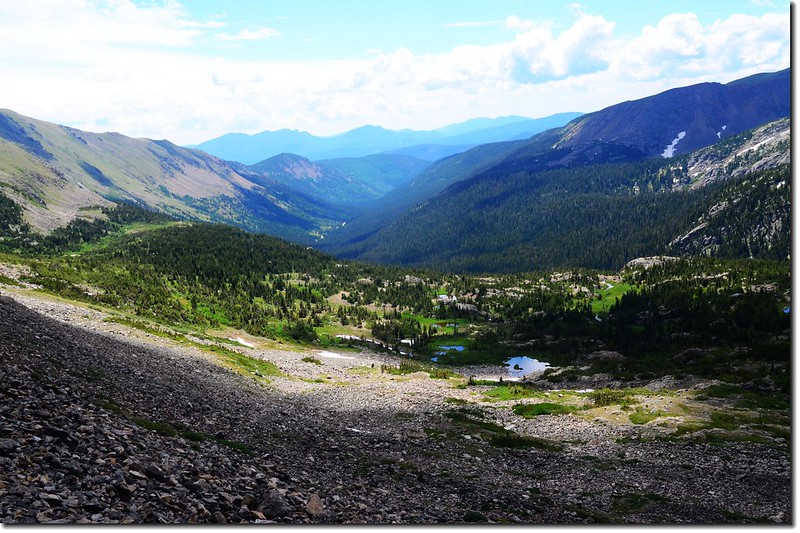
Looking down the valley that we came from
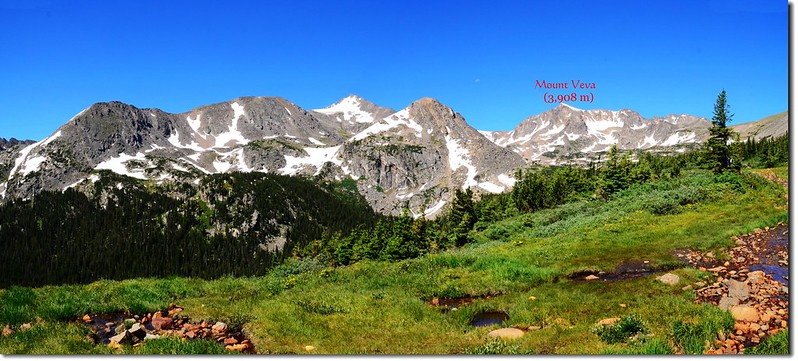
Mount Neva from Arapahoe Pass trail
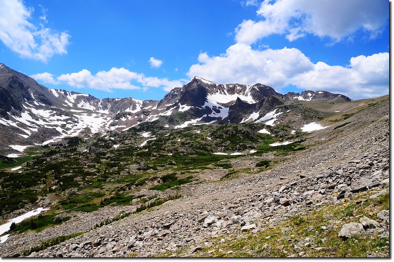
11:50抵達Caribou Pass Trail與Arapaho Pass Trail 岔路,海拔11,906呎/3,629公尺,距登山口約3.2 哩,此處是一鞍部,也是大陸分水嶺(Continental Divide);
Taken from Arapahoe Pass summit
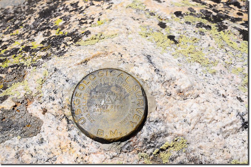

Benchmark at the Saddle
右往Arapaho Pass Trail,直行Caribou Pass Trail,取直行一段路後即轉為西行朝Lake Dorothy前進,Lake Dorothy位在Mount Neva及其向北延伸稜線山腳下,鞍部的西邊山腳下是Caribou Lake。
Satanta Peak and Caribou Lake from Arapaho Pass

Taken from Arapahoe Pass above Caribou Lake
Taken from Arapahoe Pass
Indian Peaks from Arapaho Pass
Indian Peaks from Arapaho Pass
Mount Neva from Arapaho Pass
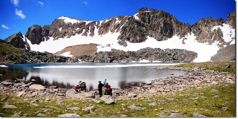
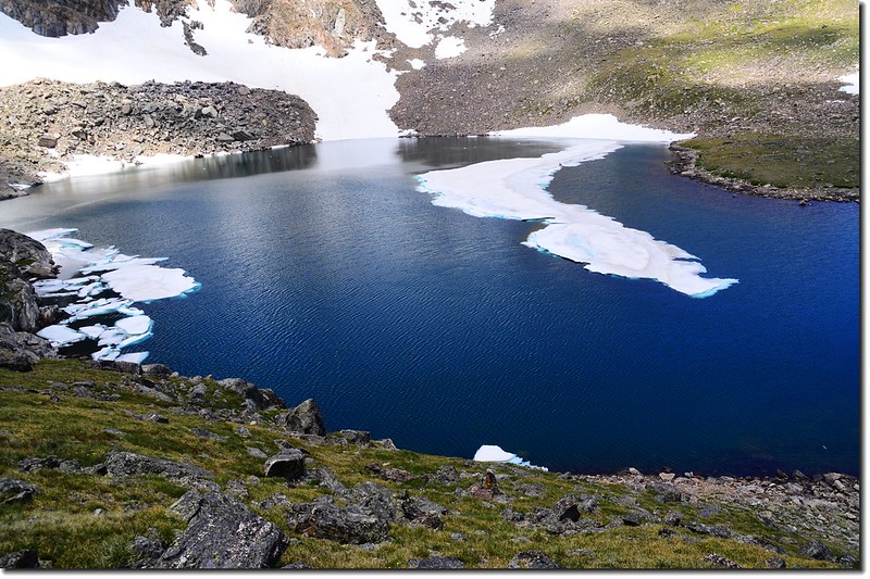
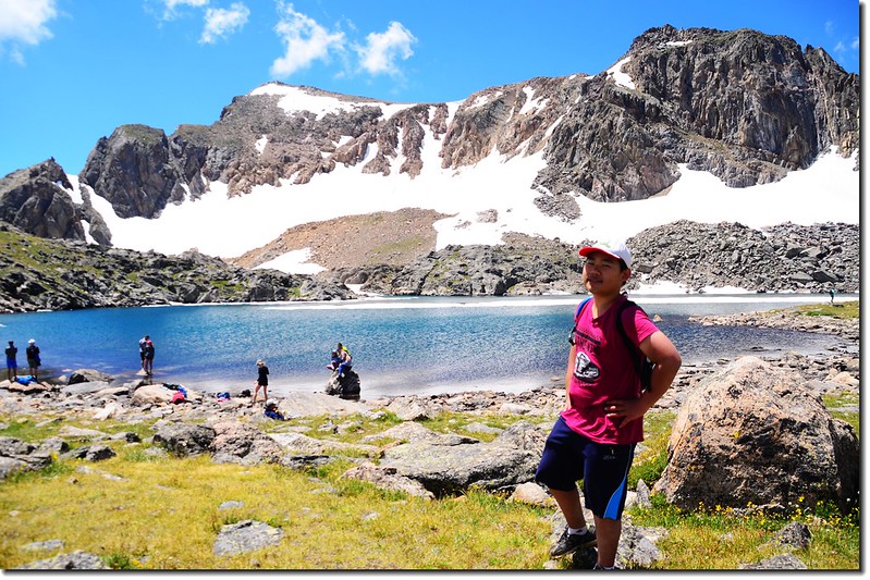
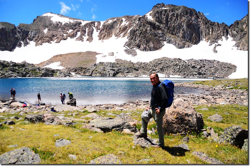
12:05抵達Lake Dorothy,海拔12,061呎/3,672公尺,距登山口約3.65 哩,此湖是Indian Peaks Wilderness範圍內有命名的湖泊中海拔最高的湖泊,正好位在離大陸分水嶺(Continental Divide)不遠的Mount Neva山腳下的凹谷裡,如同一般高山湖般,湖水冰冷湛藍,湖中的鱒魚(Trout)是釣客的最愛。

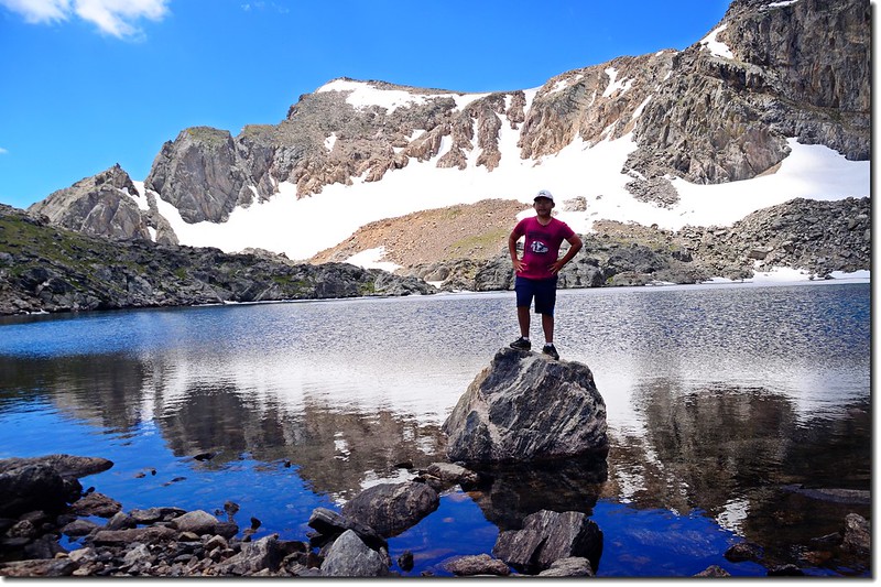
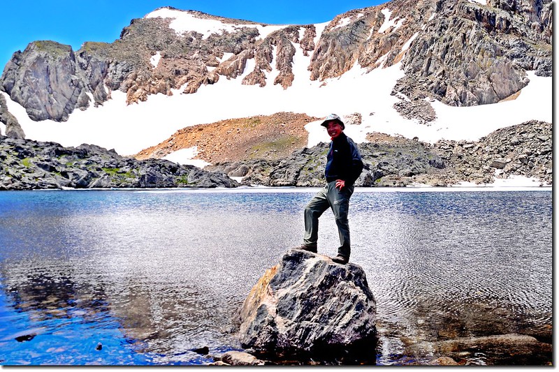

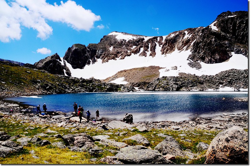
Lake Dorothy
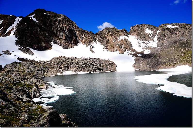
The Lake Dorothy cirque is capped by Mount Neva (12,814')
12:45 循原路下山。
Lake Dorothy
15:25 返抵登山口,計費時5小時30分。
★ 行車路線圖(Boulder→Fourth of July Trailhead):
★ 登山路線圖:
★ 點此看放大圖
沒有留言:
張貼留言