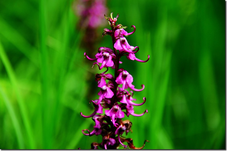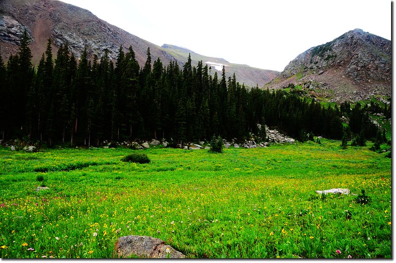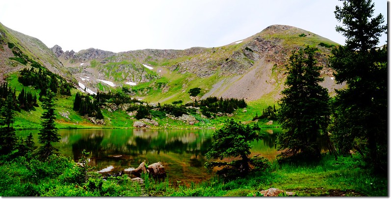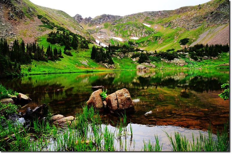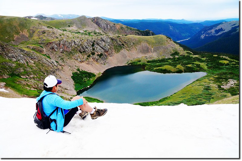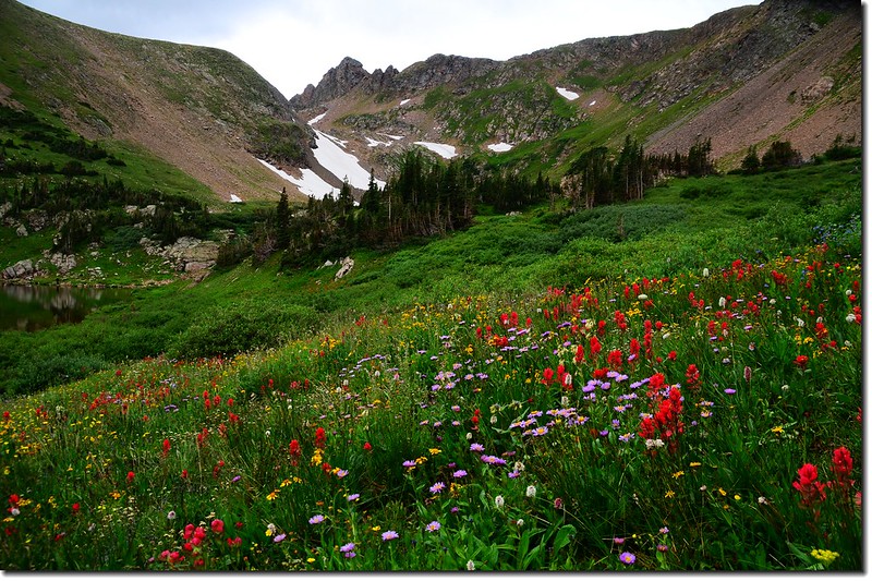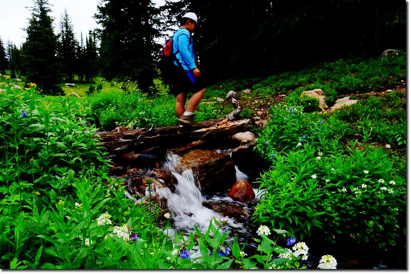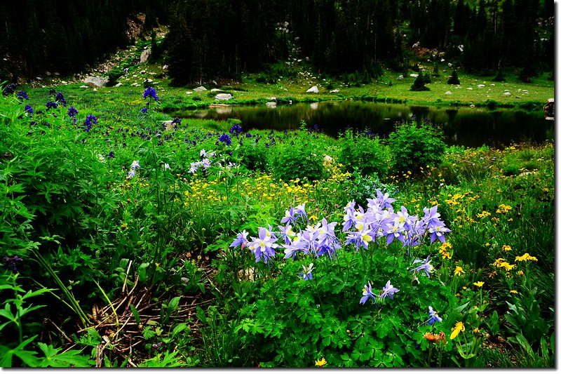
![Looking down at Heart Lake from the Continental Divide 1](https://farm5.staticflickr.com/4298/36257796156_22d49f6fff_c.jpg)
Heart Lake
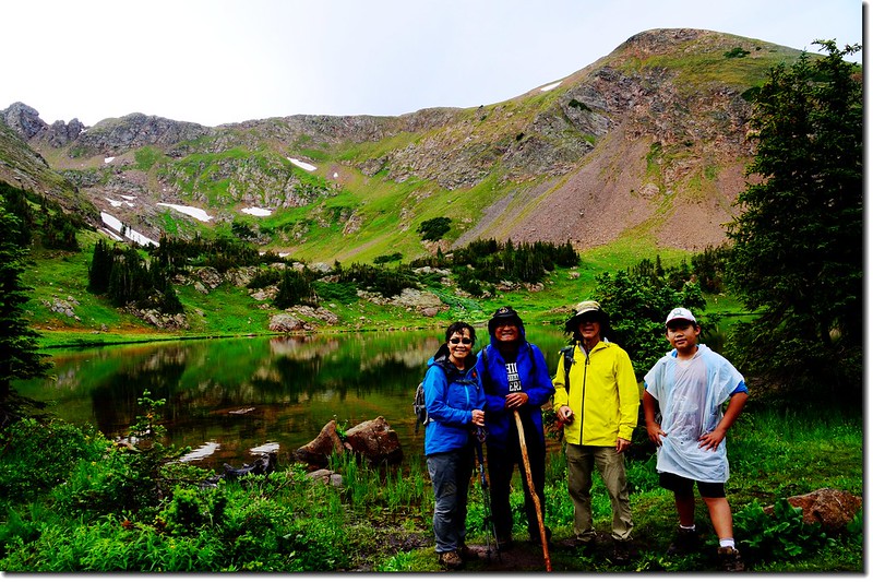
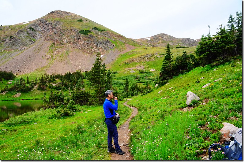
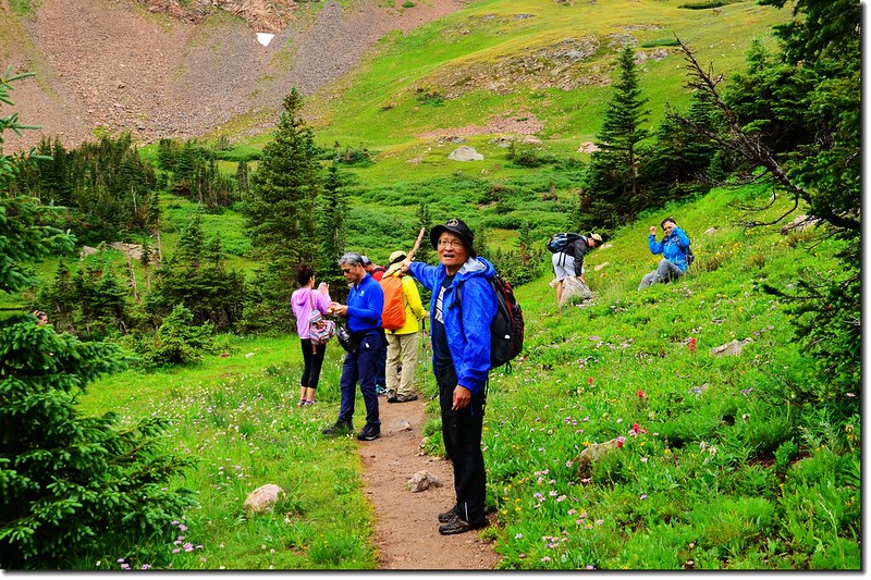
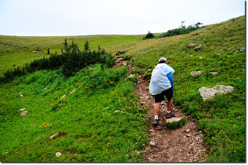
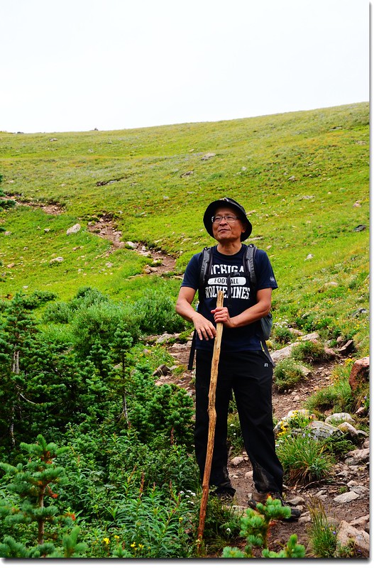
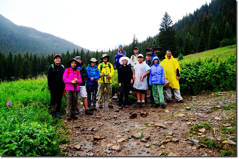
今天參加陳品菁女士、徐台誕先生號召的華人登山活動,攀登的是James Peak Wilderness範圍內的Rogers Pass Lake,雖然下著雨,氣象預報全天天候很不理想,但參加活動人員熱情不減,計有14人參加。
登上Rogers Pass Lake用完中餐後下撤,但我和貝貝因為自行開車,向領隊報備後我們繼續往上攀登到Heart Lake,然後再登上落磯山脈大陸分水嶺(Continental Divide)的Rogers Pass,這是我第三度登此高山湖,而第二度由此登上大陸分水嶺。
---------------------------------------------------------------------------------------------------------------
步道名稱:South Boulder Creek Trail(No.900)、Rogers Pass Trail
登山口:East Portal Trailhead(海拔約9,220呎)
登山里程:全程來回約10哩(16公里)
爬升高度:約2,700呎/823公尺
---------------------------------------------------------------------------------------------------------------
行車資訊:
從Boulder走Boulder Canyon Road(CO 119)西行,16哩後抵Nederland小鎮,接Peak To Peak景觀公路(CO 119, CO 72)南下,行4.8哩抵Rollinsville,右轉E. Portal road (Rollins Pass)西行,約7.5哩後行車終點(Moffat Tunnel)即為登山口,此處是Union Pacific Railroad火車隧道的東入口。
行程記錄:
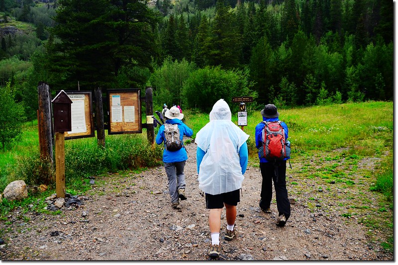
09:35 從登山口East Portal Trailhead出發;
![East Portal Trailhead 1](https://farm5.staticflickr.com/4305/35483139783_88cb7c0040_c.jpg)
East Portal Trailhead
今天主要是沿South Boulder Creek Trail一路西南行,直到登上Rogers Pass Lake,領隊說看天候做好隨時下撤的準備。
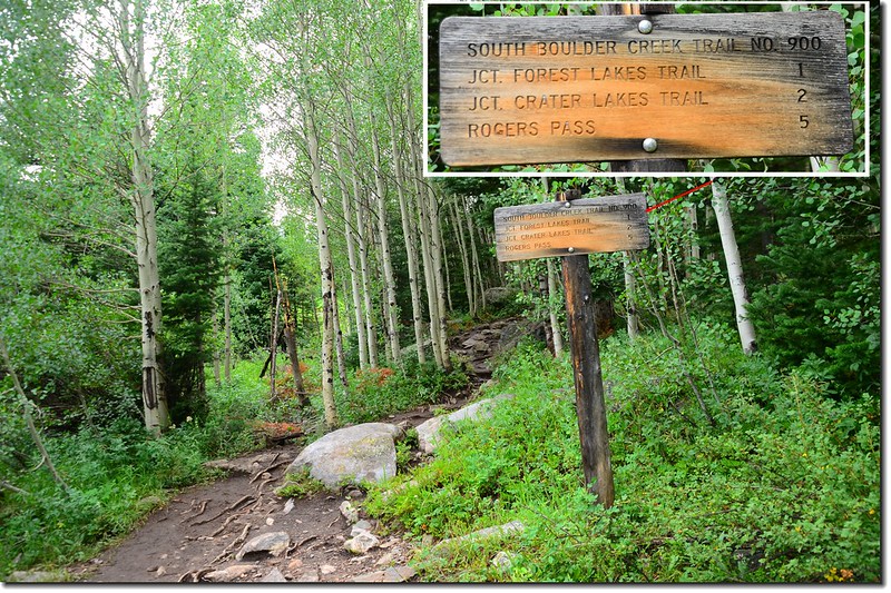
09:40 路徑旁木牌標示距Rogers Pass為5哩。
![South Boulder Creek Trail (23)](https://farm5.staticflickr.com/4324/35453567964_cb11206086_c.jpg)
South Boulder Creek Trail
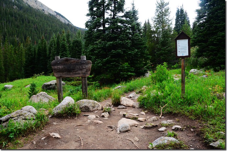
09:43告示牌標示進入James Peak Wilderness範圍。
![The sign of James Peak Wilderness 1](https://farm5.staticflickr.com/4291/36120502002_99f364e982_c.jpg)
The sign of James Peak Wilderness
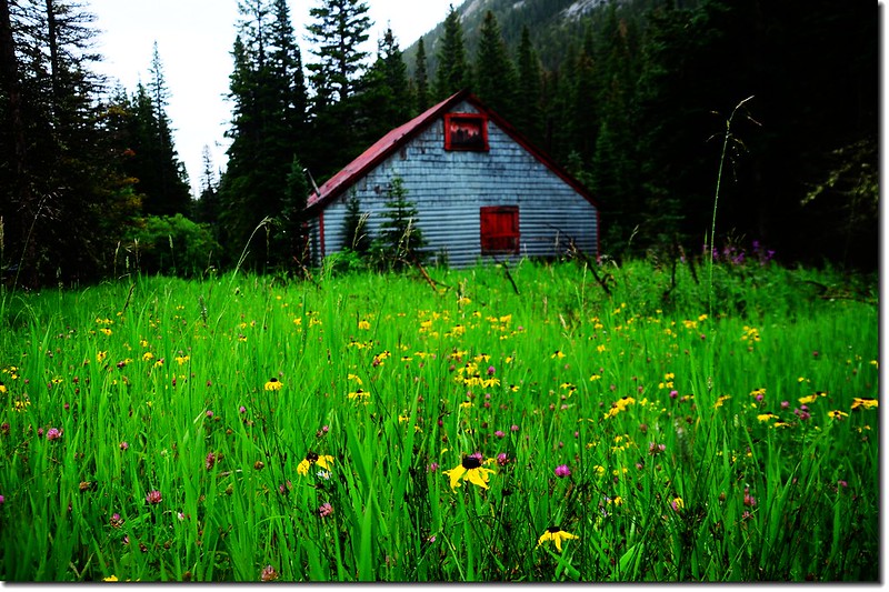
![Wildflowers along the trail (2)](https://farm5.staticflickr.com/4322/36154138951_776a577c9a_c.jpg)
Wildflowers along the trail
10:05抵達大草原 Forest Lakes Trail 岔路(距登山口1.25 哩,海拔 9,555呎),右岔往Forest Lakes不取,取左直行。
![Forest Lakes & Rogers Pass Lake junction](https://farm5.staticflickr.com/4314/36247518756_5178511b95_c.jpg)
Forest Lakes & Rogers Pass Lake junction
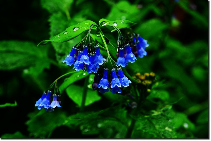
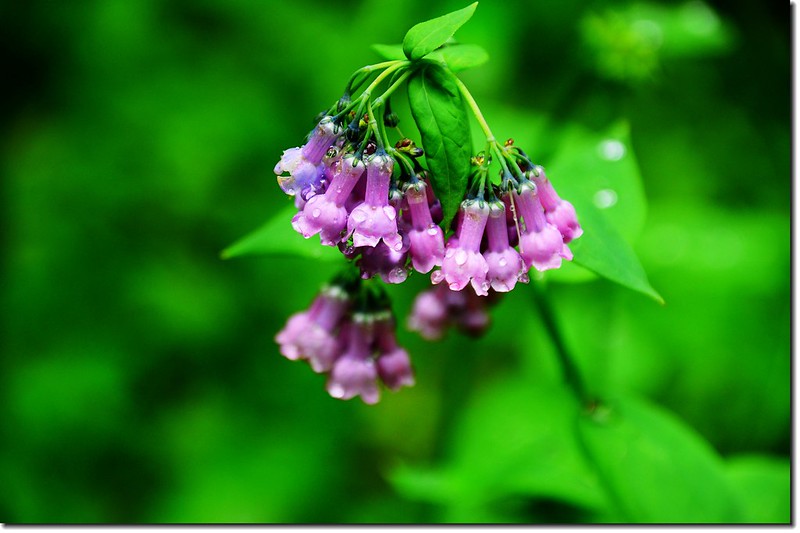
![Tall chiming bells (2)](https://farm5.staticflickr.com/4293/35893388350_77fc1f3b69_c.jpg)
![Tall chiming bells (3)](https://farm5.staticflickr.com/4302/36120539672_44d42aca50_c.jpg)
Tall chiming bells
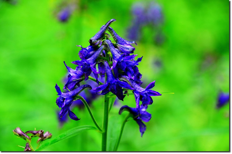
![Subalpine larkspur (1)](https://farm5.staticflickr.com/4300/36286510205_03b5ef0333_c.jpg)
Subalpine larkspur
10:30 抵 Crater Lakes Trail 岔路(距登山口1.95 哩,海拔 9,930呎),,右岔往Crater Lakes 不取,取左上;
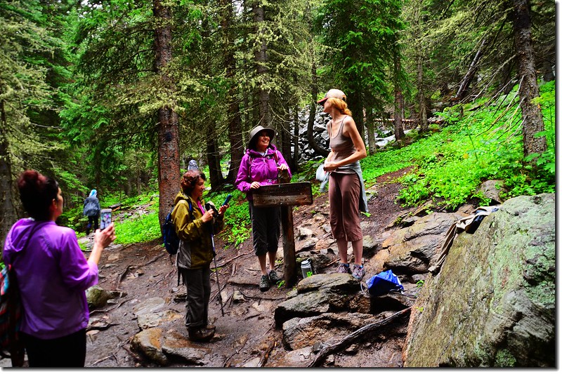
![The fork to Crater Lakes(R) and Rogers Pass (L) 1](https://farm5.staticflickr.com/4301/36120530352_521cbebce2_c.jpg)
The fork to Crater Lakes(R) and Rogers Pass (L)
登山步道在杉林中緩升。
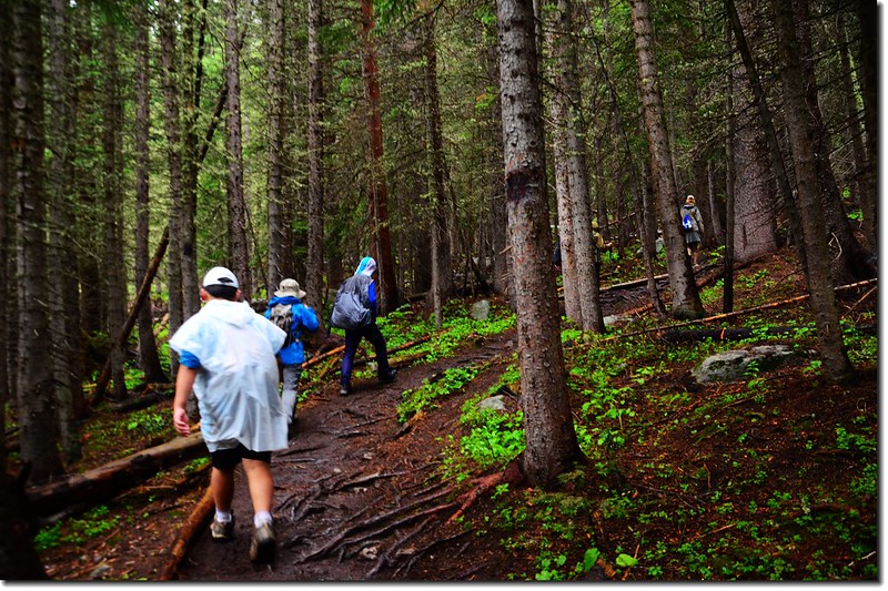
![South Boulder Creek Trail (3)](https://farm5.staticflickr.com/4295/35453574644_e60ba08579_c.jpg)
South Boulder Creek Trail
10:48抵一座橫跨小溪上有單面扶手之小橋(距登山口2.35哩,海拔10,090呎),在此之前約30公尺處先過一沒有扶手之兩根原木橋;Clayton Lake登山口在單面扶手橋頭前(未過橋)右岔上山,沒有標示,路徑極不明顯易錯過,直行過橋往Rogers Pass Lake和Heart Lake。
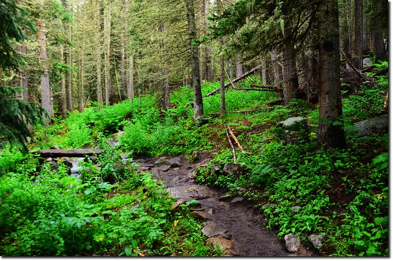
![The fork to Clayton Lakes(R) and Roger's Pass (L)](https://farm5.staticflickr.com/4328/36120536192_912c046682_c.jpg)
The fork to Clayton Lakes(R) and Roger's Pass (L)
11:05抵第二座橫跨小溪上有扶手之小橋(距登山口2.65 哩,海拔 10,260呎)。過小橋後約30公尺右側有兩棵大杉木,中間一條小徑,入口處有一大倒木橫著,此為直上Heart Lake的小徑,七年前登Heart Lake時下山係走此路下山;取左直行。
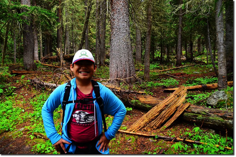
![The shortcut to Heart Lake 1](https://farm5.staticflickr.com/4326/36286452205_8c66bc240c_c.jpg)
The shortcut to Heart Lake
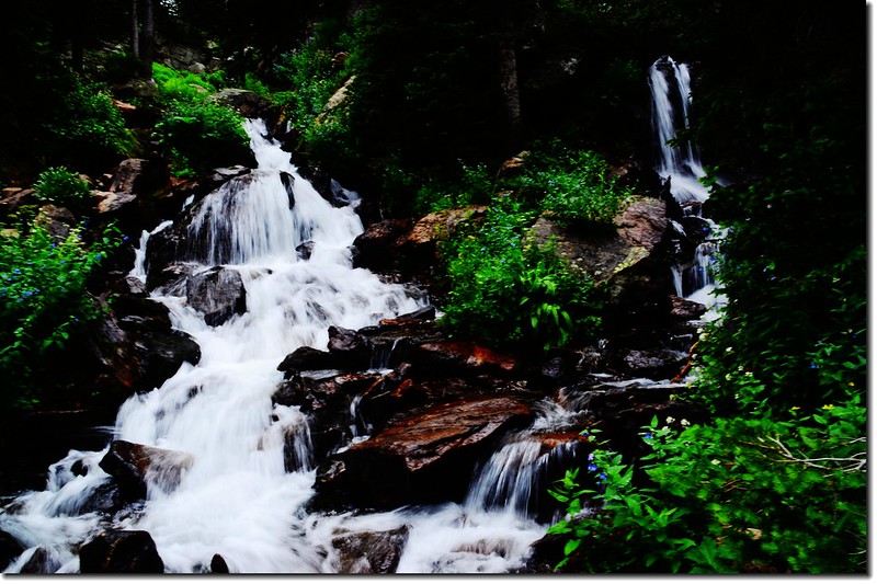
11:42 抵第三座橫跨小溪上無扶手之小橋(距登山口3.48哩,海拔 10,774呎),橋右有小瀑布;過小橋後步道坡度有點陡,還算好走。
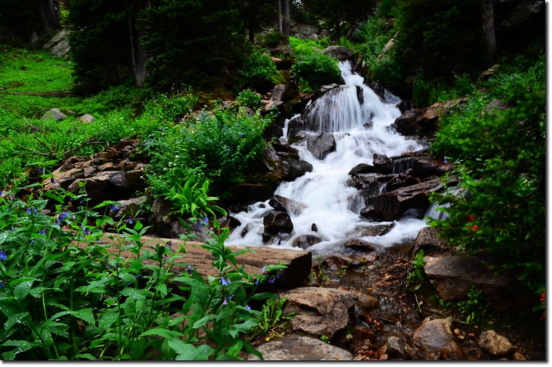
![Crossing the creek on a wooden bridge 1](https://farm5.staticflickr.com/4304/36287885205_b82cd68a01_c.jpg)
Crossing the creek on a wooden bridge
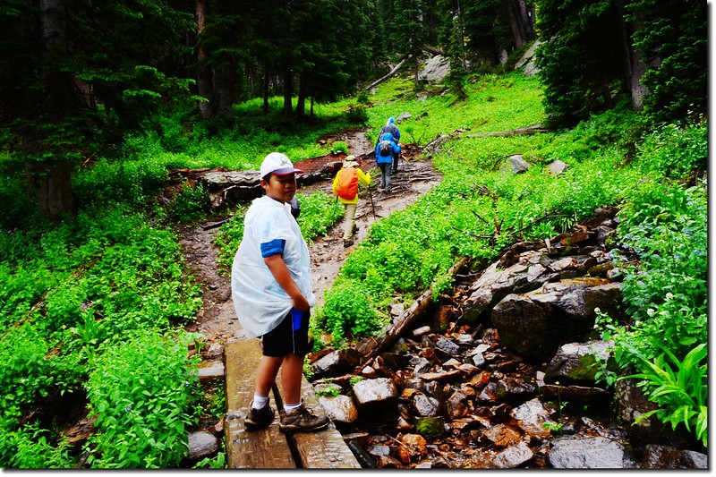
![Jacob crossing the creek on a wooden bridge 1](https://farm5.staticflickr.com/4312/36287843215_923a7af8a6_c.jpg)
Jacob crossing the creek on a wooden bridge
![Cascade along the trail 2](https://farm5.staticflickr.com/4295/36287894535_5aa2cbb941_c.jpg)
Cascade along the trail
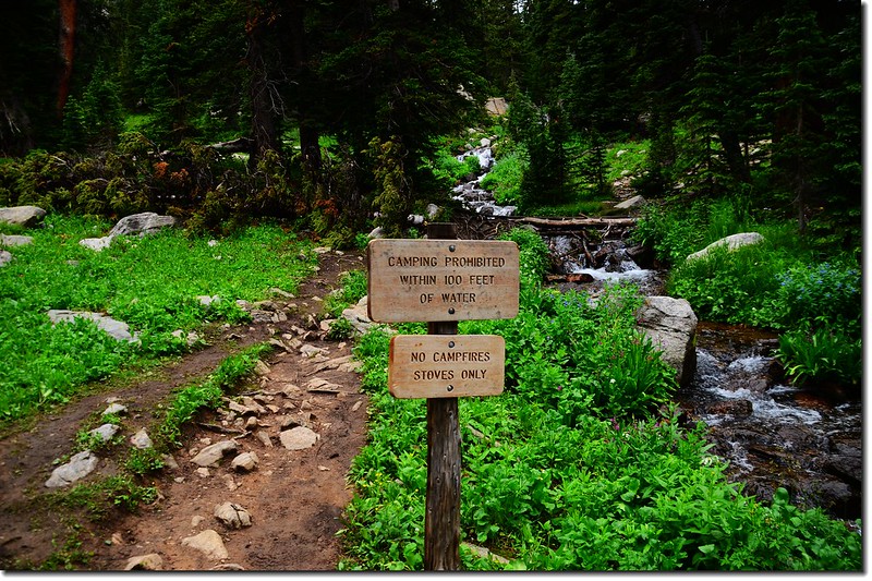
11:55 抵一立有“Camping prohibited within 100 feet of water”木牌處;
![The makeshift bridge cross the creek 2](https://farm5.staticflickr.com/4304/36120524952_59fef17845_c.jpg)
The makeshift bridge cross the creek
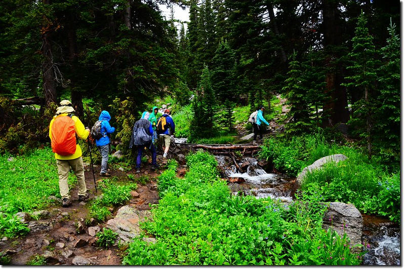
前行數步跨過小溪(距登山口3.68哩,海拔 10,995呎),,溪上以簡單四、五根樹幹橫跨其上,過小溪後續沿小溪右岸往上行。
![Cross creek on makeshift bridge](https://farm5.staticflickr.com/4320/35454755224_2eb6e3d774_c.jpg)
Cross creek on makeshift bridge
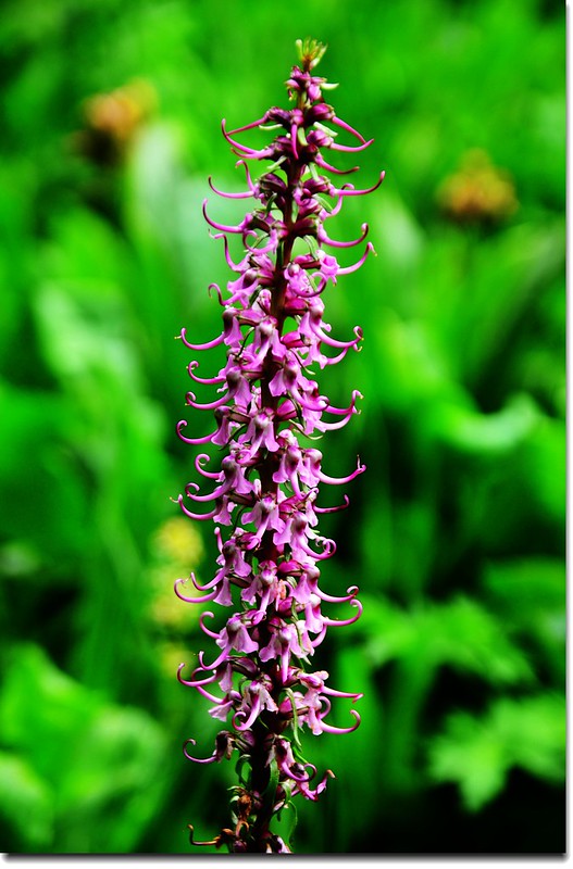
![Elephant Head Flower 1](https://farm5.staticflickr.com/4298/36247525256_fb942fa1e8_c.jpg)
![Elephant Head Flower 2](https://farm5.staticflickr.com/4304/36121837182_4ff5474fd1_c.jpg)
Elephant Head Flower
![James Peak & Haystack Mountain from South Boulder Creek Trail 1](https://farm5.staticflickr.com/4322/35894859640_fc35c5d424_c.jpg)
James Peak & Haystack Mountain from South Boulder Creek Trail
![James Peak from Rogers Pass Lake 2](https://farm5.staticflickr.com/4322/35894849250_7c92f67673_c.jpg)
James Peak from Rogers Pass Lake
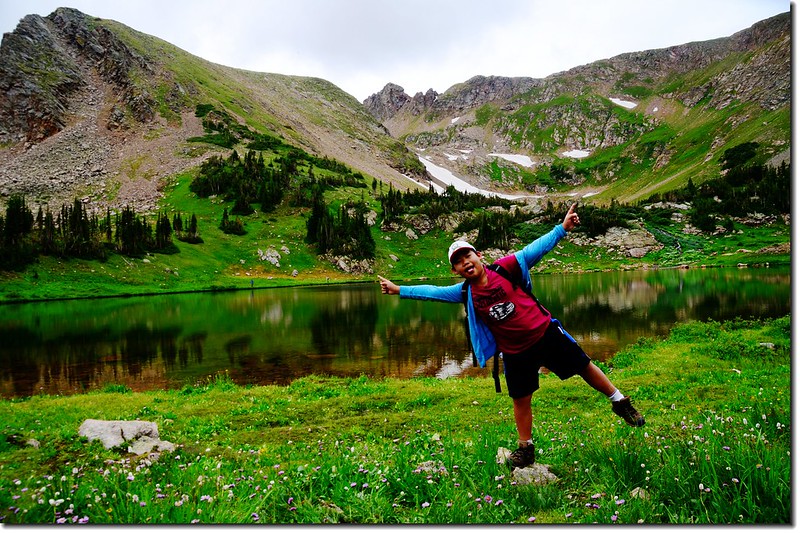
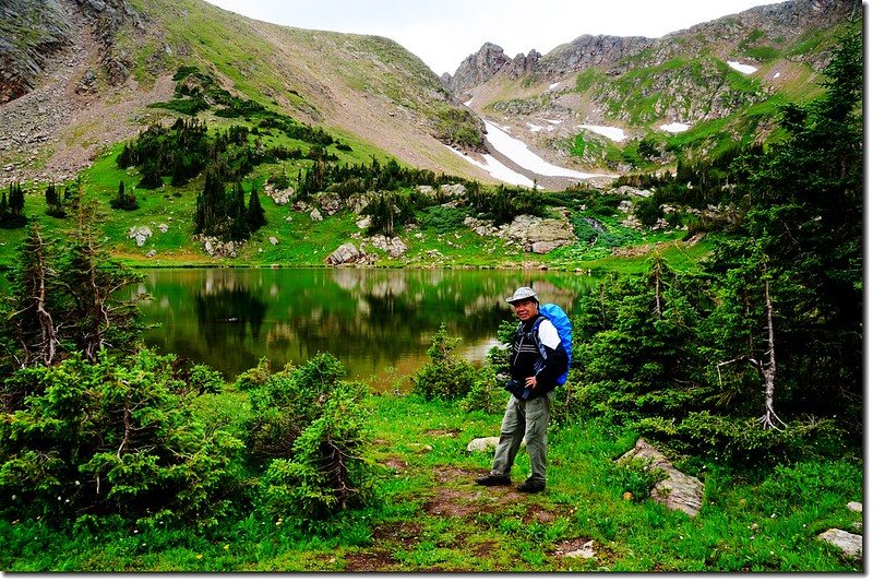
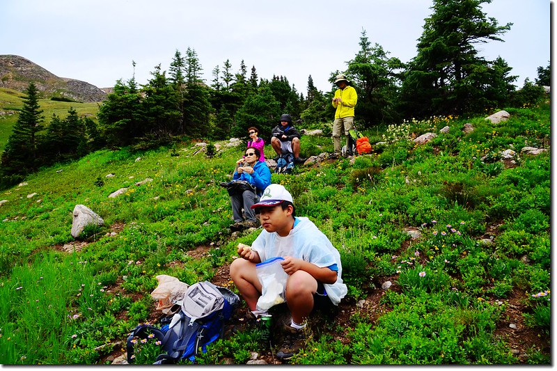
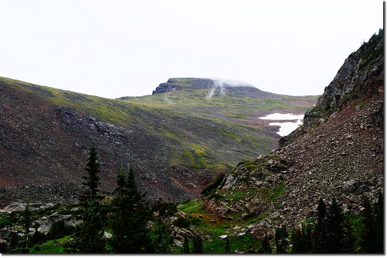
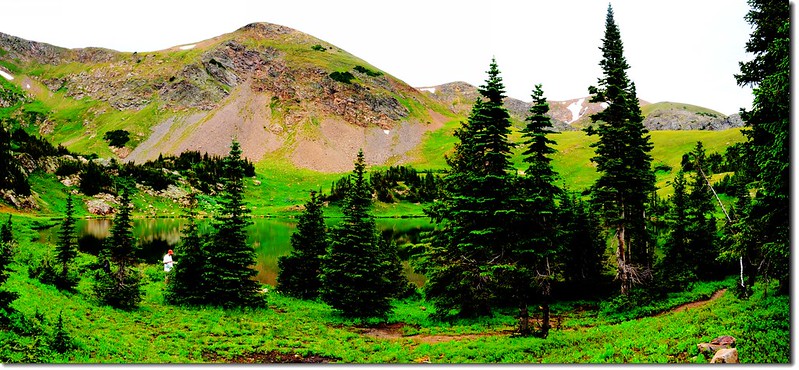
12:10 抵達Rogers Pass Lake(距登山口4.05哩,海拔 11,090呎),在湖的東岸有一些隱密的營地,更可展望Haystack Mountain (11,780呎)、Rogers Pass (11,860呎)和 James Peak (13,294呎)。環湖一周後在湖邊用餐。
![Rogers Pass Lake (3)](https://farm5.staticflickr.com/4313/35453588294_af4fb8d679_c.jpg)
![Rogers Pass Lake (1)](https://farm5.staticflickr.com/4291/36120599962_738af03c17_c.jpg)
![Rogers Pass Lake (14)](https://farm5.staticflickr.com/4313/35453582984_0471b435a0_c.jpg)
Rogers Pass Lake
![Taken from Rogers Pass Lake (5)](https://farm5.staticflickr.com/4306/36286506235_3050318a2e_c.jpg)
![Taken from Rogers Pass Lake (24)](https://farm5.staticflickr.com/4317/36120551532_87a5e66100_c.jpg)
![Taken from Rogers Pass Lake (22)](https://farm5.staticflickr.com/4328/36120560502_25317f3190_c.jpg)
Taken from Rogers Pass Lake
![Taken from Rogers Pass Lake (10)](https://farm5.staticflickr.com/4302/36246180916_3e295fae77_c.jpg)
![Taken from Rogers Pass Lake (11)](https://farm5.staticflickr.com/4323/35481929003_a1c00c1fd4_c.jpg)
Taken from Rogers Pass Lake
![Taken from Rogers Pass Lake (9)](https://farm5.staticflickr.com/4318/35481946993_1b03c58d29_c.jpg)
Taken from Rogers Pass Lake
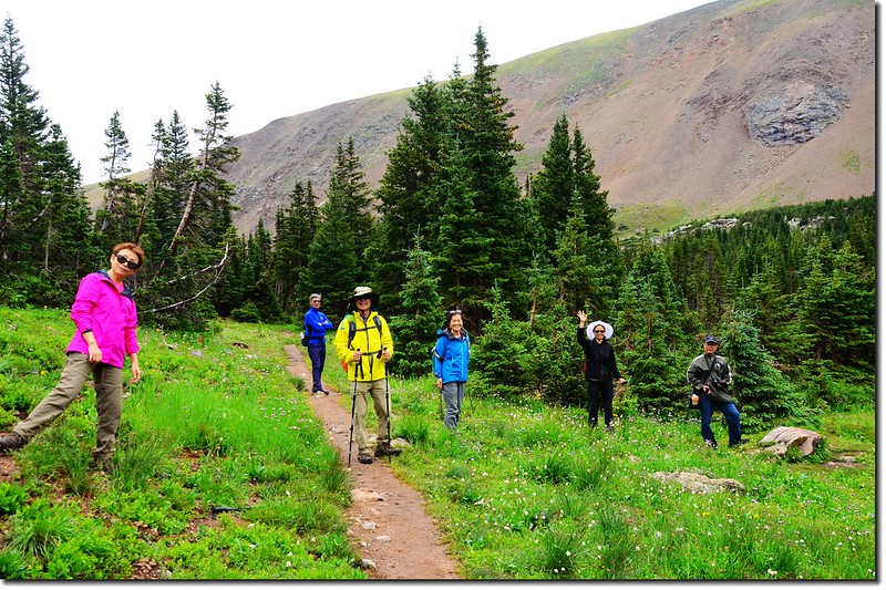
12:40 用完餐後山友們下山,貝貝想繼續上Heart Lake和Rogers Pass,我和貝貝因為自行開車,向領隊報備後我們繼續往上攀登到Heart Lake,然後再登上落磯山脈大陸分水嶺(Continental Divide)的Rogers Pass。
![Taken from Rogers Pass Lake (14)](https://farm5.staticflickr.com/4321/35893402350_719f04f68e_c.jpg)
Taken from Rogers Pass Lake
![Jacob on his way up to Heart Lake 1](https://farm5.staticflickr.com/4302/36155323381_bb2e470d6c_c.jpg)
Jacob on his way up to Heart Lake
![Tony on his way down to Rogers Pass Lake](https://farm5.staticflickr.com/4316/35481808243_2c2d14d24d_c.jpg)
Tony on his way down to Rogers Pass Lake
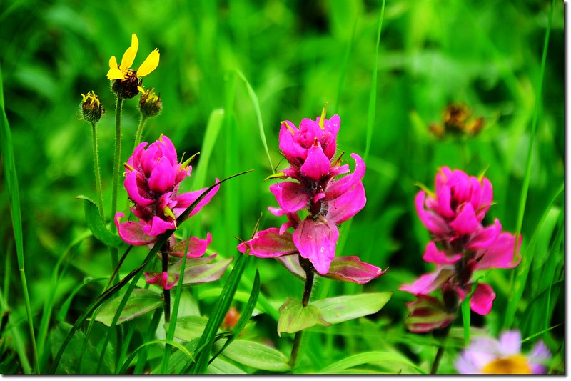
![Paintbrush flower (2)](https://farm5.staticflickr.com/4307/36121766872_69571a36b7_c.jpg)
![Paintbrush flower (3)](https://farm5.staticflickr.com/4311/36155215971_117be19a78_c.jpg)
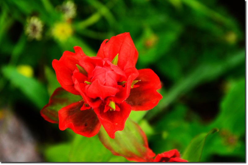
Paintbrush flower
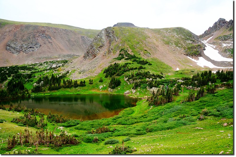
12:54 登上Rogers Pass Lake北岸稜線Heart Lake 和 South Boulder Creek Trail 岔路 (距登山口4.35哩,海拔 11,347呎),向北俯瞰Heart Lake,往南回望Rogers Pass Lake。
![Looking down at Rogers Pass Lake from a ridge above Heart Lake (3)](https://farm5.staticflickr.com/4294/36247432556_6f8f70f9d7_c.jpg)
Looking down at Rogers Pass Lake from a ridge above Heart Lake
![The Rogers Pass Trail wraps up the Heart Lake basin and headwall to the Continental Divide](https://farm5.staticflickr.com/4330/36120519932_c76fd9cf9e_c.jpg)
The Rogers Pass Trail wraps up the Heart Lake basin and headwall to the Continental Divide
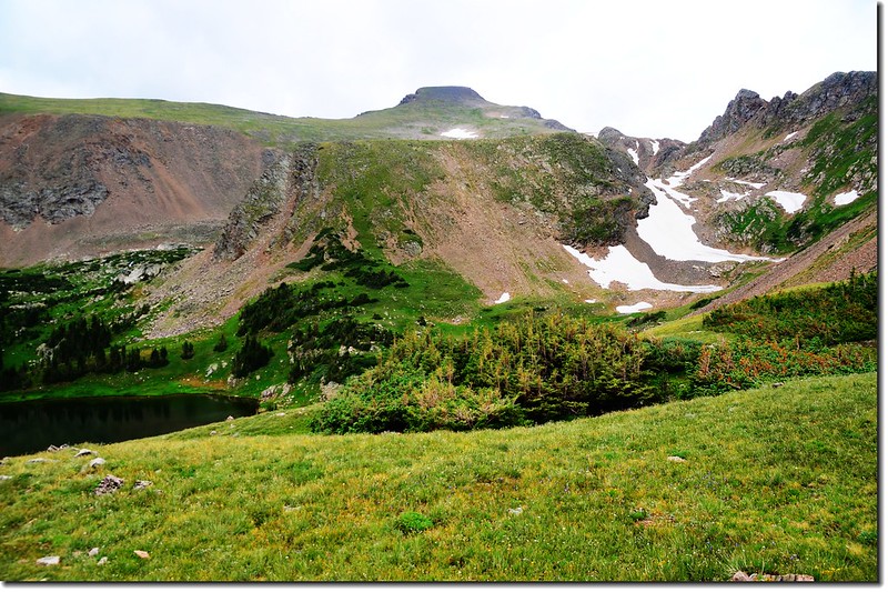
![James Peak from Rogers Pass Trail 2](https://farm5.staticflickr.com/4321/35454688144_b8ce3042b9_c.jpg)
James Peak from Rogers Pass Trail
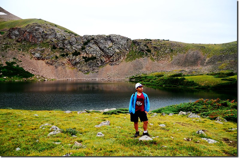
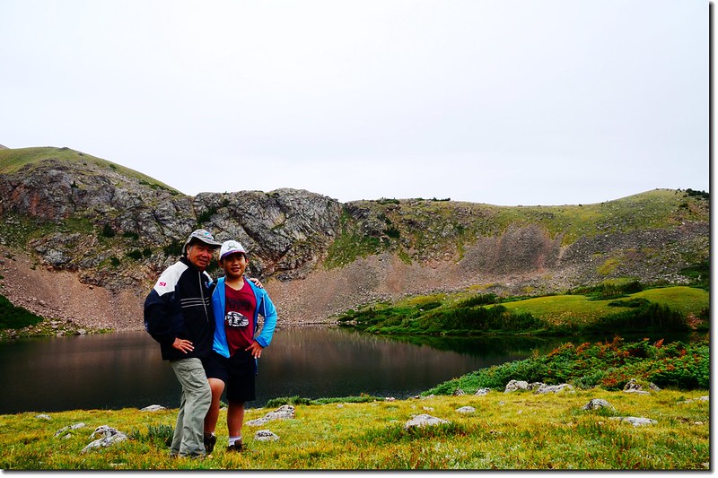
下去Heart Lake繞一圈後再接回South Boulder Creek Trail,貝貝堅持要登上大陸分水嶺(Continental Divide) Rogers Pass;
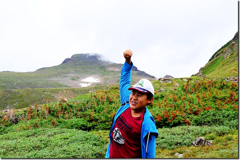
![James Peak from Heart Lake (10)](https://farm5.staticflickr.com/4321/35454696924_bfe9e4862e_c.jpg)
James Peak from Heart Lake
![Heart Lake, James Peak Wilderness (2)](https://farm5.staticflickr.com/4316/36121832802_6c78e2b300_c.jpg)
![Heart Lake, James Peak Wilderness (4)](https://farm5.staticflickr.com/4323/36155334371_52c684894d_c.jpg)
Heart Lake, James Peak Wilderness
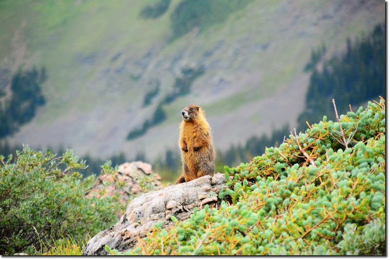
![Marmot (3)](https://farm5.staticflickr.com/4317/36287687395_95ba4b220b_c.jpg)
Marmot
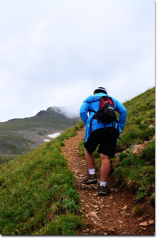
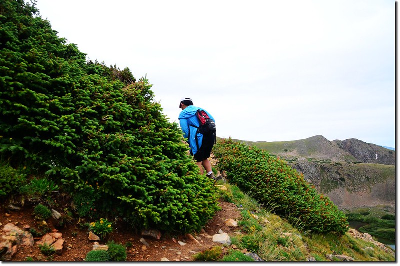
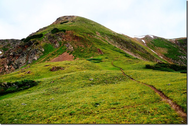
從Heart Lake登上大陸分水嶺約有半哩路,但須爬升約五百多呎,算是蠻陡的,登山小徑一路“之”字形往上盤升。
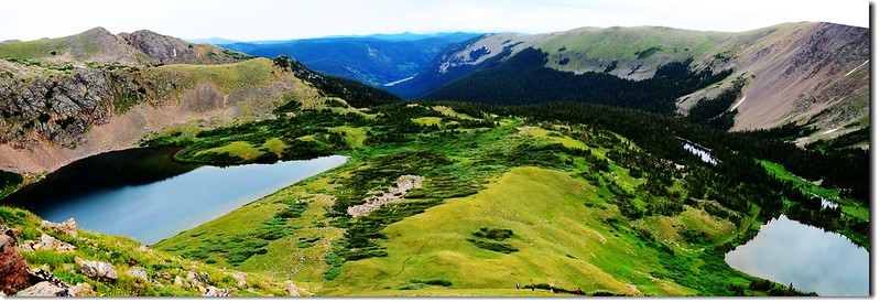
![View of Heart Lake (left) and Rogers Pass Lake (right) from the Rogers Pass Trail](https://farm5.staticflickr.com/4325/36120462082_5722d917c1_c.jpg)
View of Heart Lake (left) and Rogers Pass Lake (right) from the Rogers Pass Trail
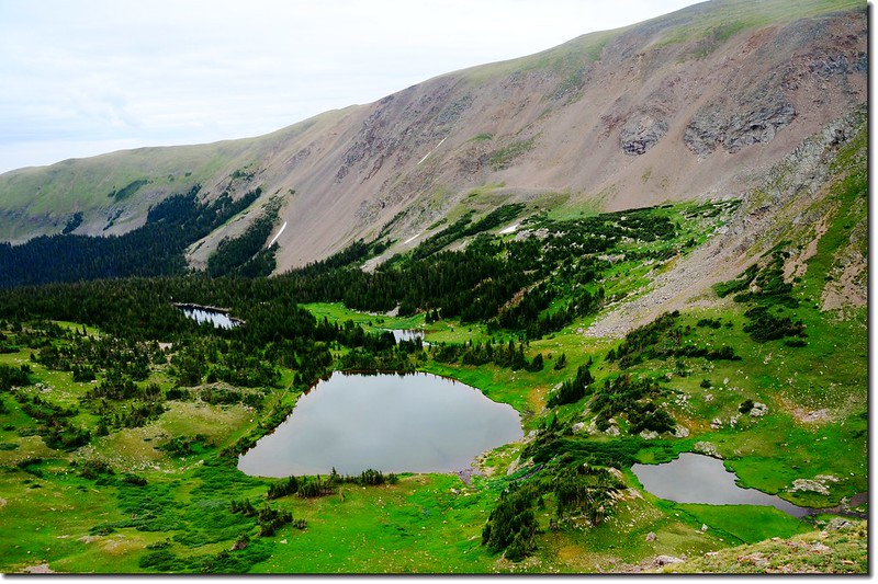
![Looking down at Rogers Pass Lake from the Rogers Pass Trail 1](https://farm5.staticflickr.com/4299/36287722825_445461ae69_c.jpg)
Looking down at Rogers Pass Lake from the Rogers Pass Trail
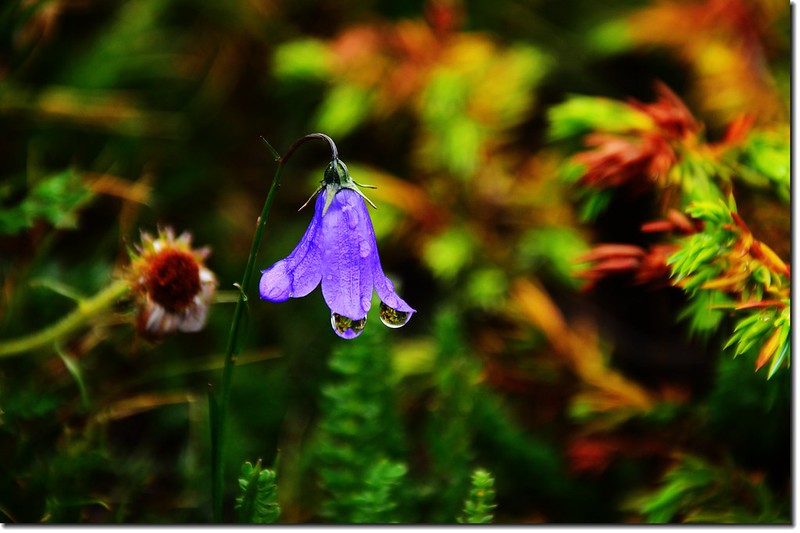
![Mountain Harebell 3](https://farm5.staticflickr.com/4317/36287681325_7ff657c3fe_c.jpg)
Mountain Harebell
![Jacob on his way up to Rogers Pass 1](https://farm5.staticflickr.com/4306/36121821952_8af5fe1686_c.jpg)
![Jacob on his way up to Rogers Pass](https://farm5.staticflickr.com/4304/36155313291_782a1dd140_c.jpg)
Jacob on his way up to Rogers Pass
![Looking down at Heart Lake from the Rogers Pass Trail 1](https://farm5.staticflickr.com/4296/36287746125_309ed4951c_c.jpg)
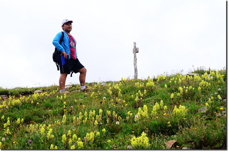
Looking down at Heart Lake from the Rogers Pass Trail
![Jacob on the top of Rogers Pass](https://farm5.staticflickr.com/4291/36247489336_f5836533f4_c.jpg)
Jacob on the top of Rogers Pass
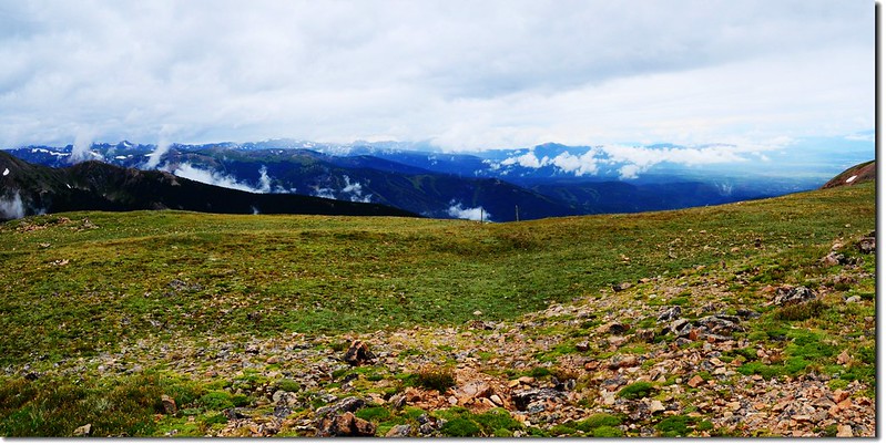
13:50 登上大陸分水嶺(Continental Divide),此處海拔約11,900呎/3,627公尺,距登山口約5.0哩。
站在大陸分水嶺稜線上南眺海拔13,294呎(4,052公尺)的James Peak,此山在三年前曾帶貝貝由St. Mary’s Glacier攀登過,他常常以此自豪;
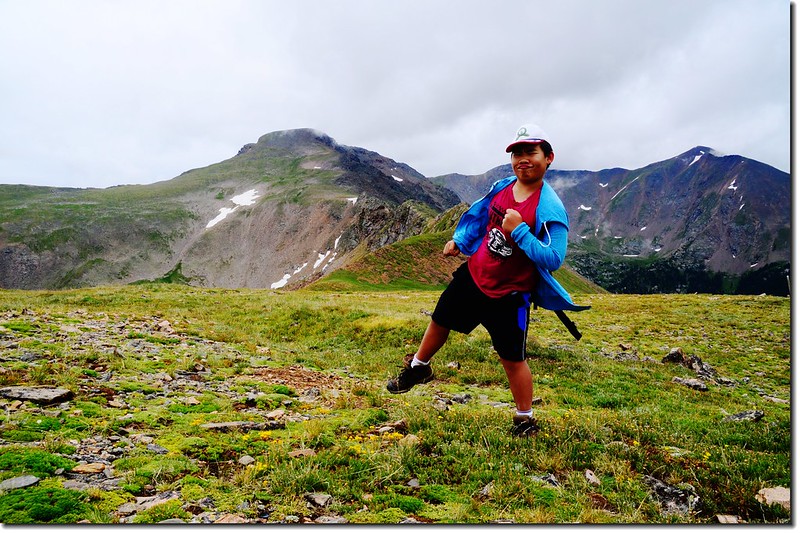
![Looking South from Continental Divide at James Peak (5)](https://farm5.staticflickr.com/4321/36287703395_99a2e0f30b_c.jpg)
Looking South from Continental Divide at James Peak
北望落磯山脈分水嶺連稜;
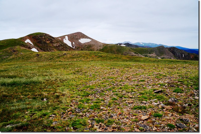
![Looking North from Continental Divide at Rocky Mountains](https://farm5.staticflickr.com/4322/36121777272_6f73928f91_c.jpg)
Looking North from Continental Divide at Rocky Mountains
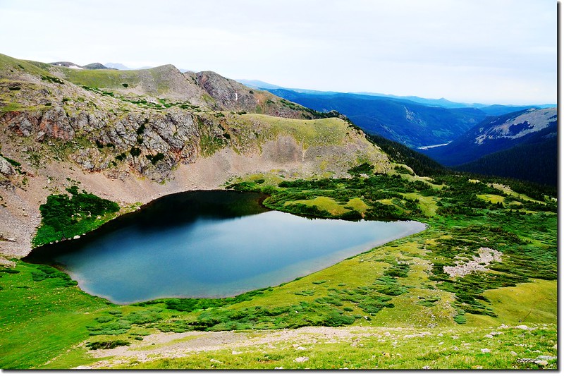
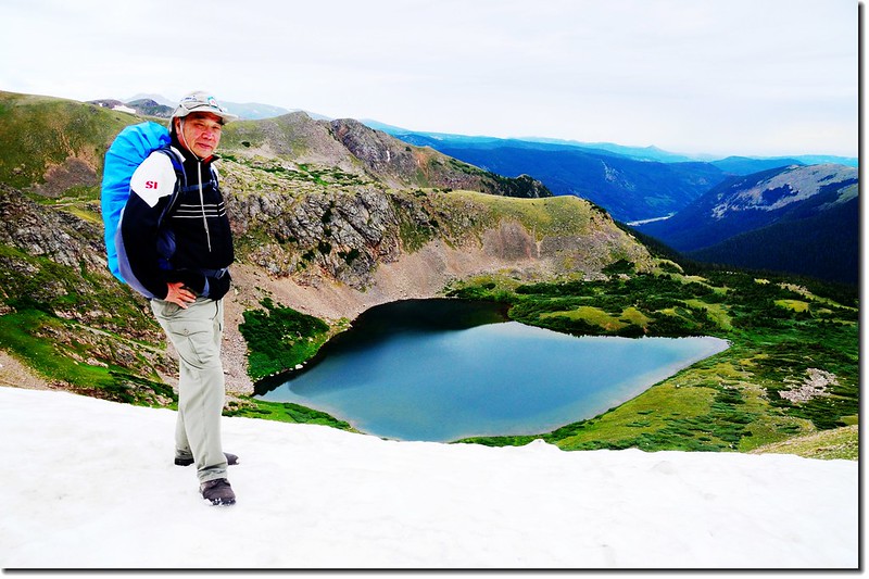
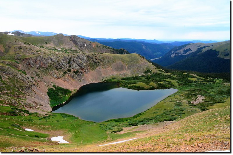
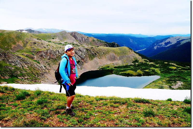
東邊俯瞰雪原底下的Heart Lake,所謂Heart Lake就是看起來就像一個“心”形的湖,在湖邊看不太出來,登上制高點後就看得清楚了,但貝貝說他看起來倒比較像嬰兒胸前的圍兜~bib,應該叫Bib Lake,好有創意的聯想!
![Looking down at Heart Lake from the Continental Divide (1)](https://farm5.staticflickr.com/4318/36247461236_9c0ed59a8a_c.jpg)
![Looking down at Heart Lake from the Continental Divide (7)](https://farm5.staticflickr.com/4326/36155261821_d0ef4abe74_c.jpg)
![Looking down at Heart Lake from the Continental Divide (5)](https://farm5.staticflickr.com/4310/36247452036_905673cd0c_c.jpg)
Looking down at Heart Lake from the Continental Divide
![Looking West from Continental Divide at James Peak](https://farm5.staticflickr.com/4327/36121770692_f9b907aee6_c.jpg)
Looking West from Continental Divide at James Peak
在分水嶺上待一陣子後循原路下山。
14:20 下抵Heart Lake。
14:35 下抵Rogers Pass Lake。
![Wildflowers along the trail (6)](https://farm5.staticflickr.com/4305/35481796883_7669a716c3_c.jpg)
![Wildflowers along the trail (10)](https://farm5.staticflickr.com/4306/36154132281_638bc08421_c.jpg)
Wildflowers along the trail
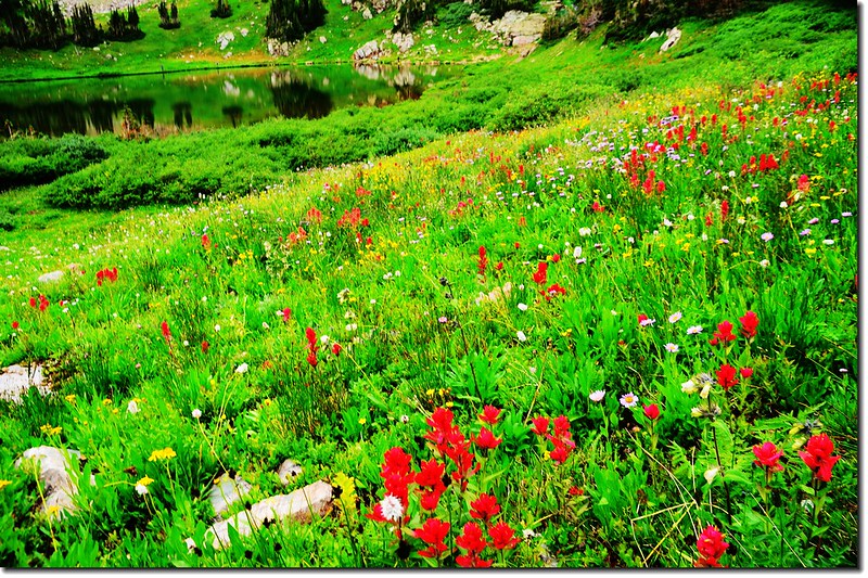
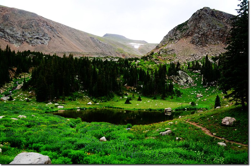
14:44 抵Rogers Pass Lake左下方一無名小湖,湖邊野花盛開,James Peak矗立在後方,在此方向看James Peak山形特別美;
![The unnamed lake below Rogers Pass Lake](https://farm5.staticflickr.com/4323/36246126636_12fae87135_c.jpg)
The unnamed lake below Rogers Pass Lake
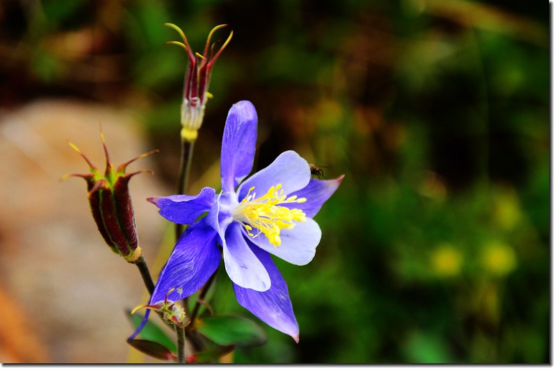
![Blue Columbine (1)](https://farm5.staticflickr.com/4301/35454765254_5efd7af8f3_c.jpg)
Blue Columbine
![The unnamed lake is surround by wildflowers (12)](https://farm5.staticflickr.com/4301/35893338520_4cdfd5f60c_c.jpg)
![The unnamed lake is surround by wildflowers (8)](https://farm5.staticflickr.com/4319/35481843033_96e1e55de9_c.jpg)
The unnamed lake is surround by wildflowers
在步道左邊另有一座較大無名湖,湖邊石頭居多。
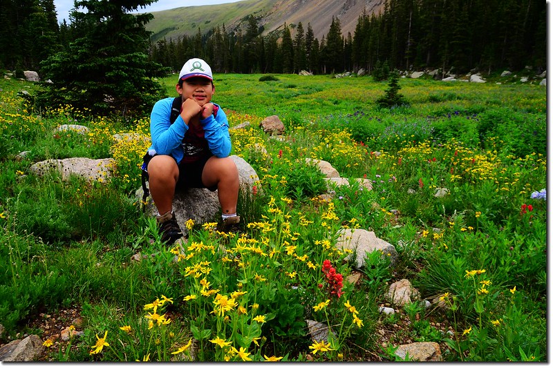
![Wildflowers along the trail (17)](https://farm5.staticflickr.com/4313/36154126711_d5f3a39da3_c.jpg)
Wildflowers along the trail
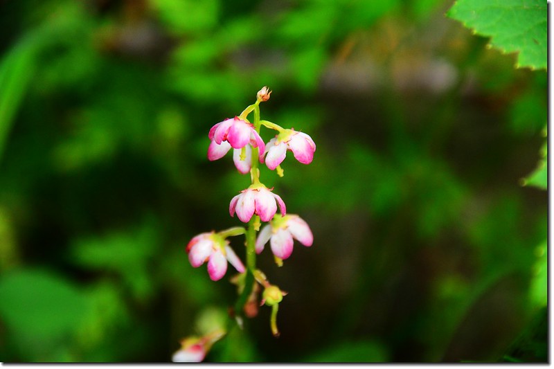
![鹿蹄草(美洲稱之為Pyrola)](https://farm5.staticflickr.com/4329/35481761103_f63b22ed8c_c.jpg)
鹿蹄草(美洲稱之為Pyrola)
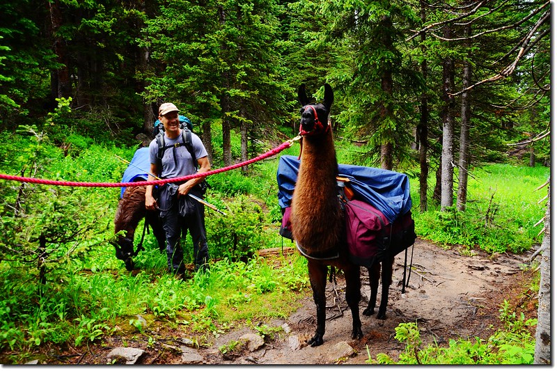
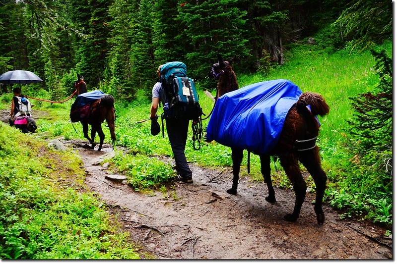
![llama (2)](https://farm5.staticflickr.com/4303/35894836430_bc5aa17c19_c.jpg)
![llama (4)](https://farm5.staticflickr.com/4324/36155276701_a94a50cc17_c.jpg)
llama on the trail
17:25 返抵登山口,整裝後開車回家。
★ 行車路線圖
★ →點此看放大圖
沒有留言:
張貼留言