Taken from the top of “The Chutes”near 10,120', Bard Peak(L) & Engelmann Peak(R) are in the distance
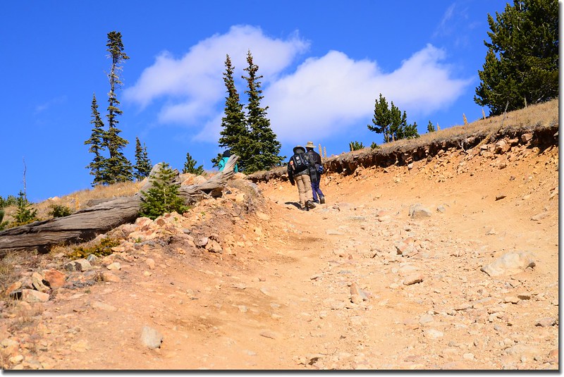
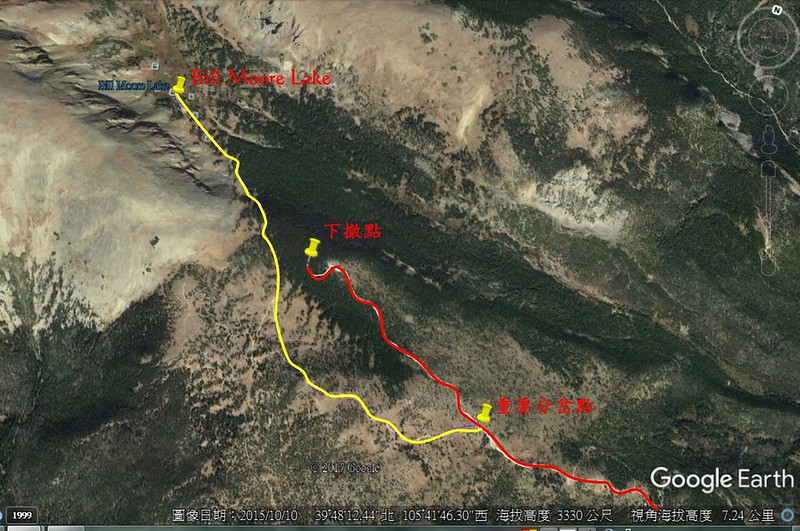
前天和華人登山隊前往Empire小鎮爬Bill Moore Lake Trail,此次未充分準備資料,在步道最後一個岔路口(39°47'35''N105°41'15''W)轉錯方向,最後在11,410’森林中道路盡頭下撤(39°47'51''N105°41'59''W),下山後檢視地圖距Bill Moore Lake還有0.72哩(1.16公里);今天走的這一條Trail看來都是越野吉普車和ATV的天下,比較少登山客來登山健行,部分路段陡峭、石礫鬆散,下山時很容易滑倒,到此路線登山必須特別小心。
-------------------------------------------------------------------------------------------------
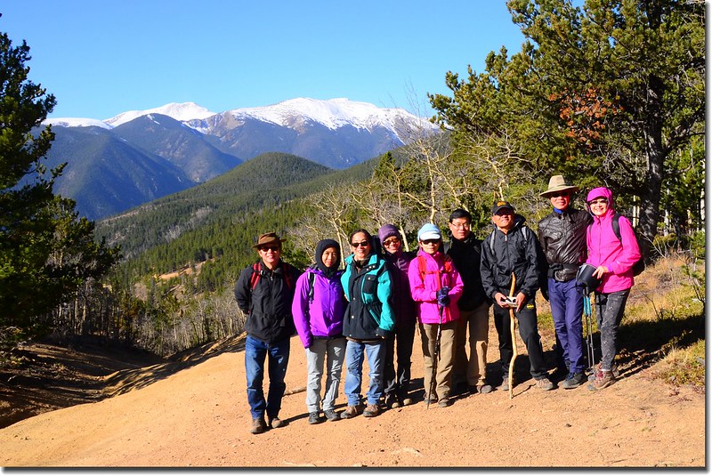
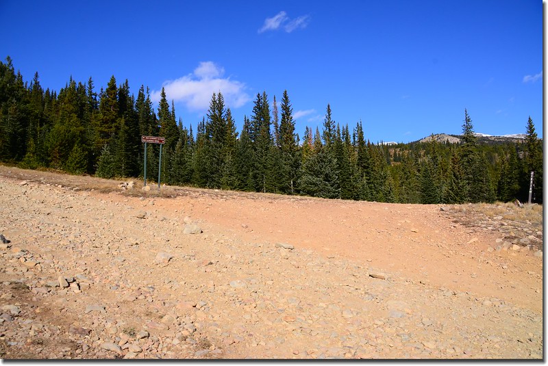
停車處:County Road 251與253岔路口大空地(39°46'21''N105°41'02''W),海拔9,182呎(2,799公尺)
下撤點:11,410’道路終點(39°47'51''N105°41'59''W),海拔11,410呎(3,478公尺)
登山里程:來回約8.0哩(12.8公里)
總爬升高度:約2,400呎(732公尺)
登山時間:約5小時
-------------------------------------------------------------------------------------------------
行車資訊:
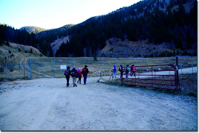
由Golden沿CO-470 E匯入I-70州際公路西行,行約27.7哩後在Exit 232出口下交流道沿U.S. 40 E朝Empire / Granby前進,行約2.0哩進入Empire街區,在剛過道路左側一棟二層建物“Town Hall”,建物一樓為“Hard Rock Cafe”後右轉Main St上山,山路行約1.0哩停車於County Road 251與253岔路口大空地 (39°46'21''N105°41'02''W),此處海拔約9,182呎(2,799公尺)。
步程簡述:
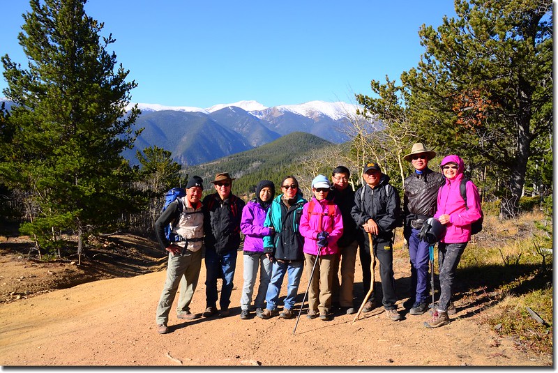
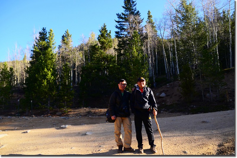
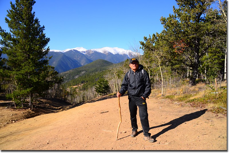
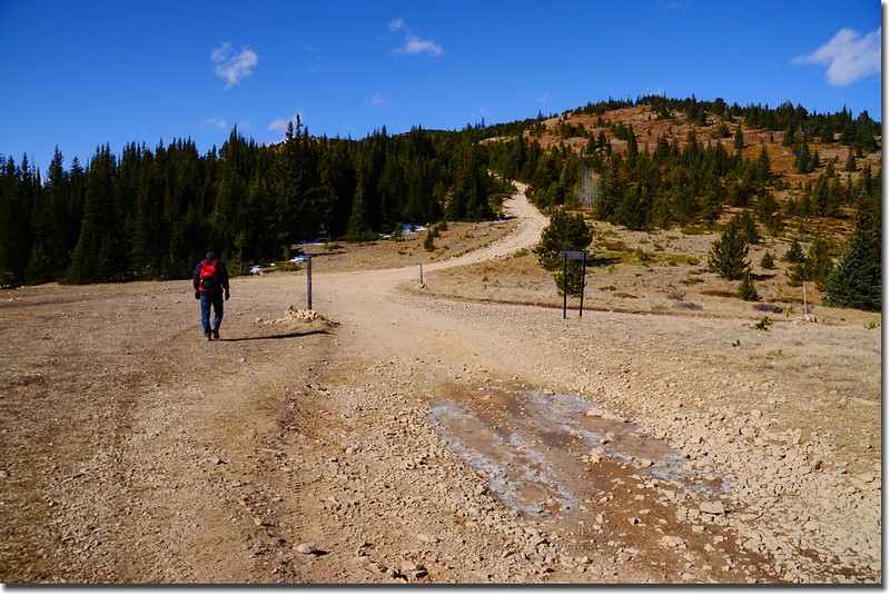
08:40 由停車處朝東方沿County Road 251前行,這是一條越野車車道,前段四傳車還可行駛,停車處海拔9,182呎(2,799公尺)。
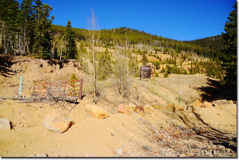
Bill Moore Lake Trail parking lot

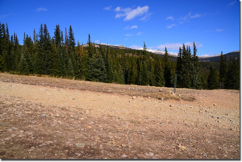
Looking South at Guanella Pass from Bill Moore Lake Trail parking lot
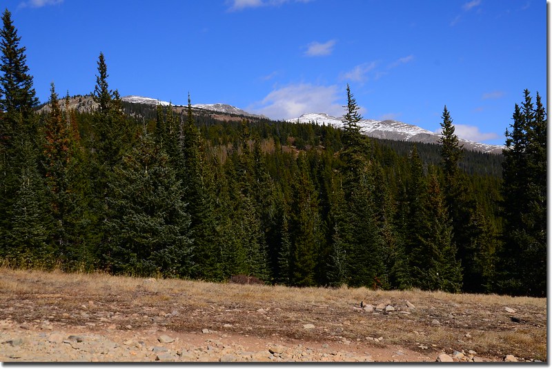
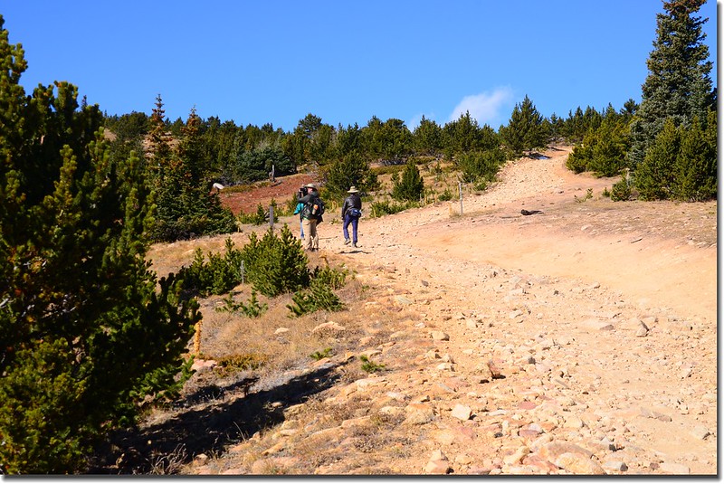
Bill Moore Lake Trail, Empire, Colorado
09:10 看見一處礦場遺址,類似遺址有幾處。
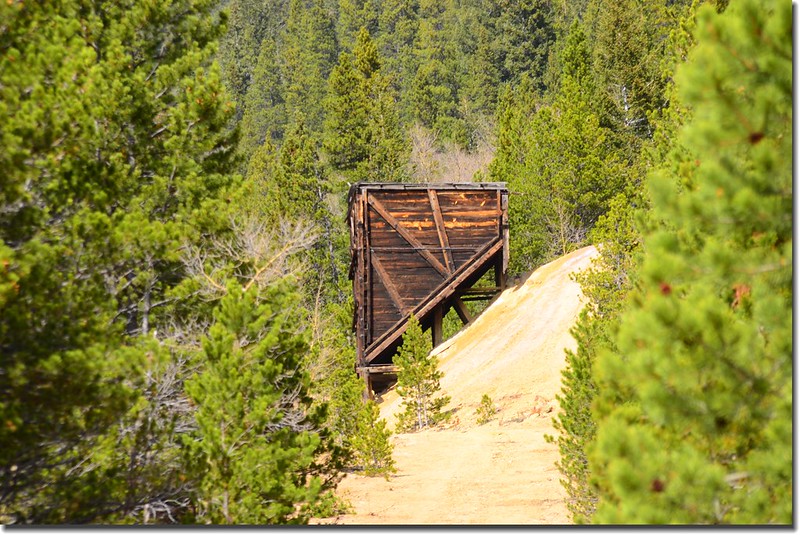
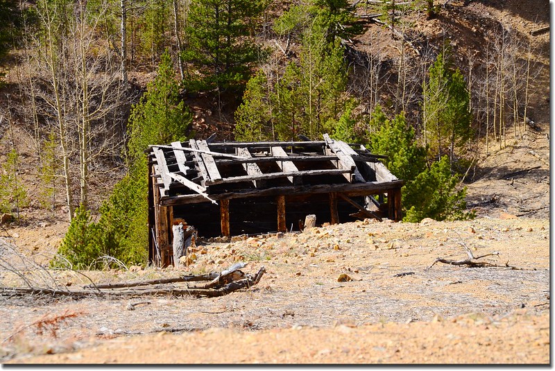

Old mining ruins along the trail
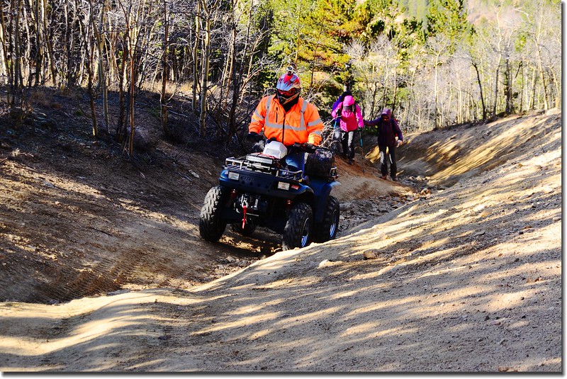
09:14 後面三部ATV上來超越我們,這種道路ATV最適合啦!

ATV on the trail
09:23 抵達Conqueror Mine遺址(39°47'01''N105°40'52''W),海拔9,815呎(2,992公尺),距停車處約1.2哩;位在一處道路急右彎處的左側,該礦場是一處金礦礦場,鼎盛期是在19世紀中葉到末期,當年由於該礦暢建立了今日的Empire小鎮。
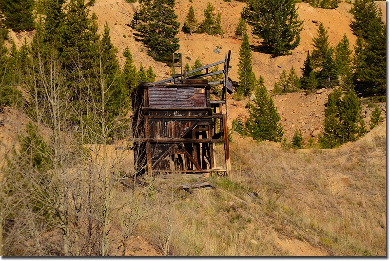
Conqueror Mine
Looking South at Guanella Pass from Bill Moore Lake Trail near 9,840'
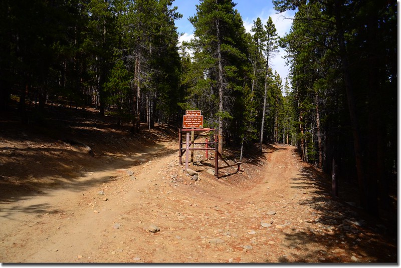
09:35 過了Conqueror Mine遺址不久抵一岔路(39°46'51''N105°40'42''W),右岔是主要道路,左岔是ATV玩家所謂的The Chutes,海拔9,850呎(3,002公尺),距停車處約1.4哩;我們取左岔直上。

Bill Moore Lake Trail (The Chutes) fork
此段The Chutes幾乎是一溝槽似小道,僅適合ATV行駛,越野吉普車也無法上來;道路狹小陡峭,成溝槽狀,大小石塊阻路難行。
ATV on the trail
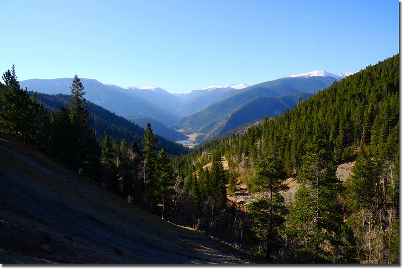
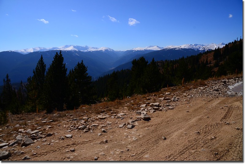
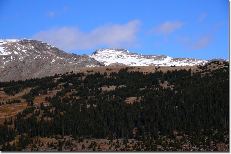
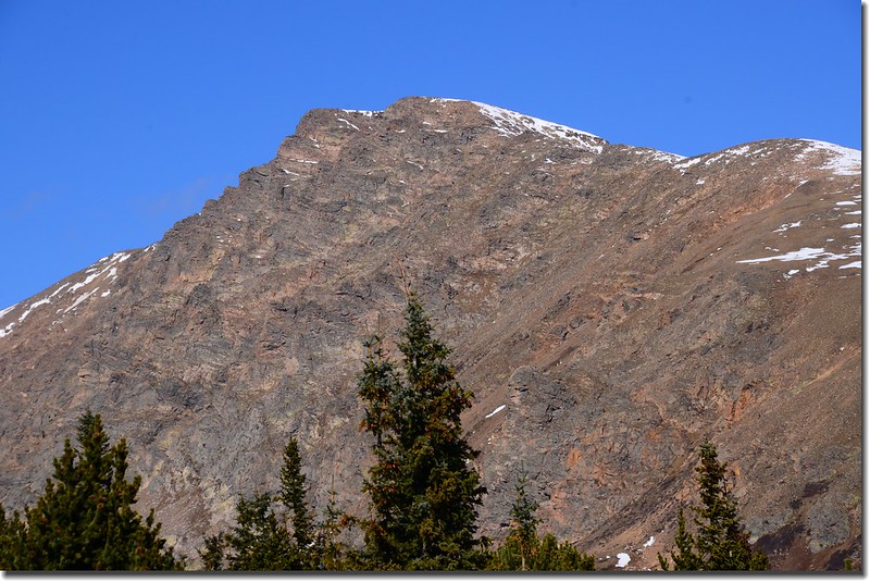
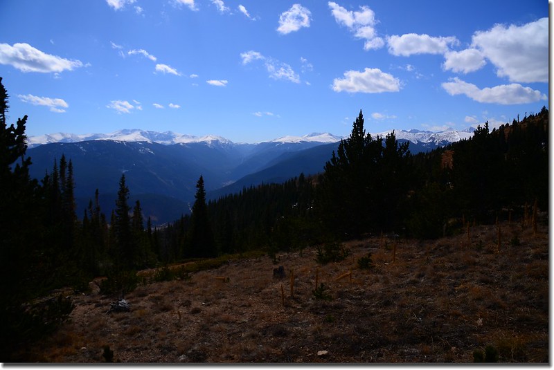
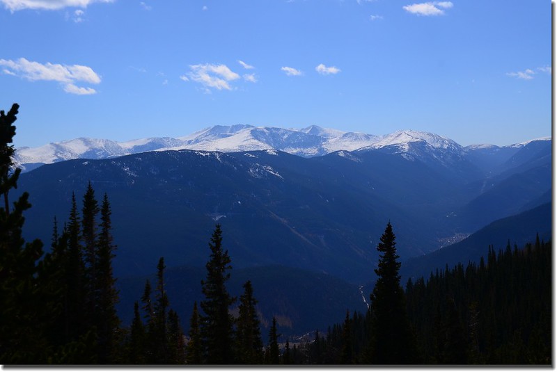
09:47 抵達The Chutes最高點(39°46'55''N105°40'35''W),海拔10,120呎(3,085公尺),距停車處約1.6哩;遠眺西南方Bard Peak等山頭覆蓋厚厚的白雪。

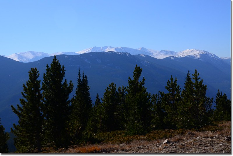
Looking Southwest at mountains from the top of “The Chutes”
Taken from the top of “The Chutes”near 10,120', Bard Peak(L) & Engelmann Peak(R) are in the distance
The Chutes最高點再行百尺左右即遇右岔是剛才主要道路來接,續直行。
09:55 遇一岔路取左行(39°46'59''N105°40'34''W)。
09:57 抵達Bill Moore Lake 和Miller Creek Trailhead (39°47'07''N105°40'36''W),左岔是往Bill Moore Lake (Forest road 183.1) ,右岔往Miller Creek (Forest road 171.2);此處海拔10,170呎(3,100公尺),距停車處約1.9哩;取左行往Bill Moore Lake。
Bill Moore Lake Trail and Miller Creek Trail fork
10:02抵一岔路,右直行往Mill Cr Loop,左岔往Bill Moore Lake,取左行。
10:38 抵一“T”字路(39°47'33''N105°40'38''W),左往Bill Moore Lake,右往Mill CR. Loop,取左上;此處海拔10,570呎(3,228公尺) ,距停車處約2.6哩;
10:40 右側一岔路Forest road 183.1A Bypass (39°47'33''N105°40'41''W),海拔10,600呎(3,231公尺) ,距停車處約2.65哩;
Forest road 183.1A Bypass fork
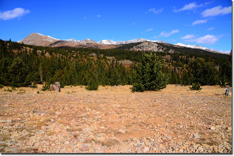
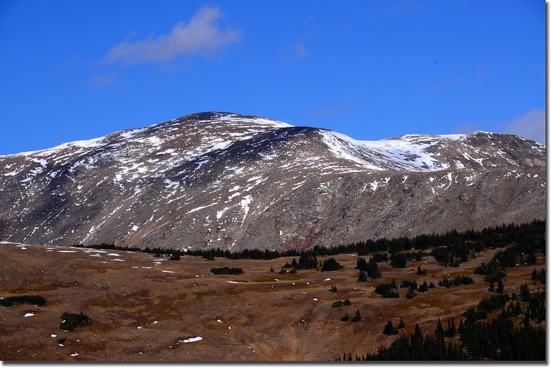
此處展望佳,南眺Mount Evans、Mount Bierstadt等高山,西北遙望James Peak等稜線;右岔路較易行,我們取左直行,左直行為主線較陡峭,且地面是鬆散的小石塊,非常難爬,但距離較短風景也較美。
Looking North at James Peak from the trail near 10,600'
Looking South at Mount Evans & Bierstadt from the trail near 10,600'
10:57 抵達一大空曠地,右側Forest road 183.1A Bypass又匯入主線Forest road 183.1 (39°47'32''N105°40'54''W),此處海拔10,780呎(3,286公尺) ,距停車處約2.8哩;
Forest road 183.1A Bypass fork near 10,780'
Looking North at James Peak et al. from the trail near 10,780'
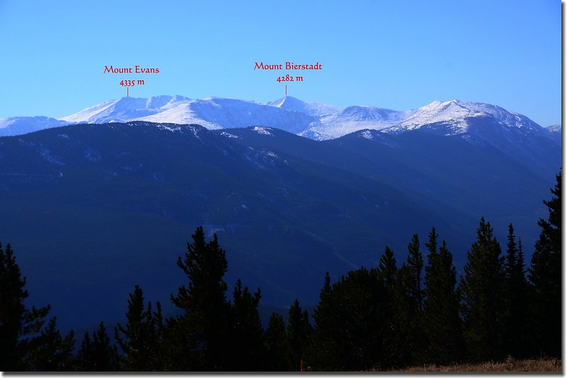
Looking South at Mount Evans & Bierstadt from Bill Moore Lake Trail near 10,780'
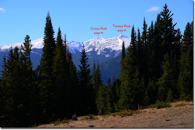
Looking South at Grays & Torrays Peak from Bill Moore Lake Trail
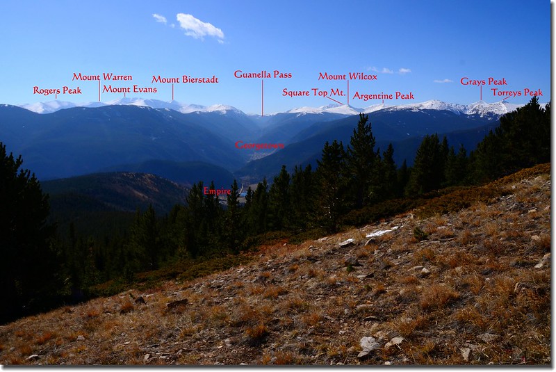
Looking South at Guanella Pass & Mount Evans et al. from Bill Moore Lake Trail near 10,780'
過此空地道路又開始爬升,路況依然陡峭、石塊鬆滑難行。

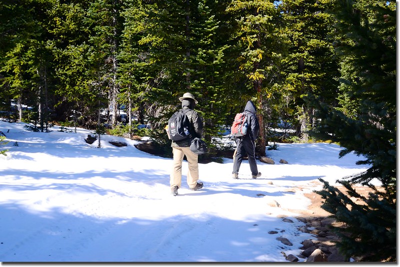
Bill Moore Lake Trail, Empire, Colorado

Looking Southeast at Squaw Mountain et al. from Bill Moore Lake Trail
11:14 抵達一岔路(39°47'35''N105°41'15''W),左微下坡為Route 183.1,右上坡為Route 183.1C,正確道路是左岔Route 183.1,我們誤走右岔Route 183.1C;此處海拔11,100呎(3,383公尺),距停車處約3.2哩。
Route 183.1 & Route 183.1C fork
Looking South at Guanella Pass & Mount Evans et al. from Route 183.1 & 183.1C fork(11,100')
Looking Northwest at James Peak et al from Bill Moore Lake Trail near 11,185'
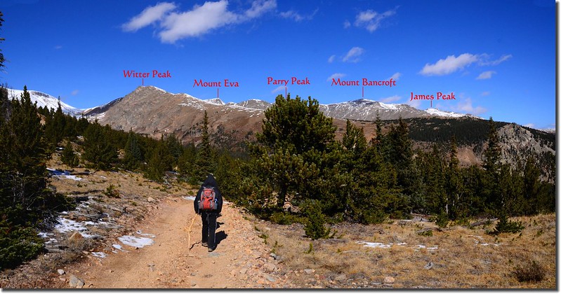
Looking Northwest at James Peak et al from Bill Moore Lake Trail near 11,185'
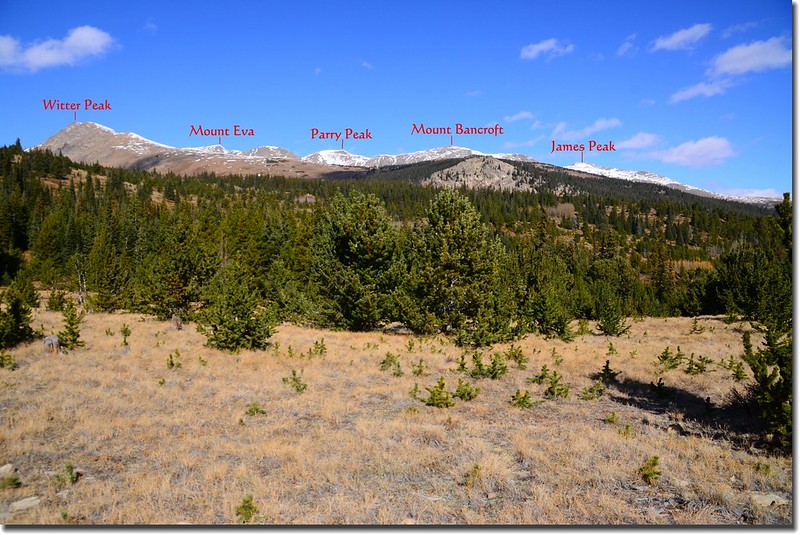
Looking Northwest at James Peak from Bill Moore Lake Trail near 11,185'
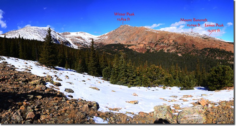
Looking Northwest at Mount Bancroft from Bill Moore Lake Trail near 11,185'
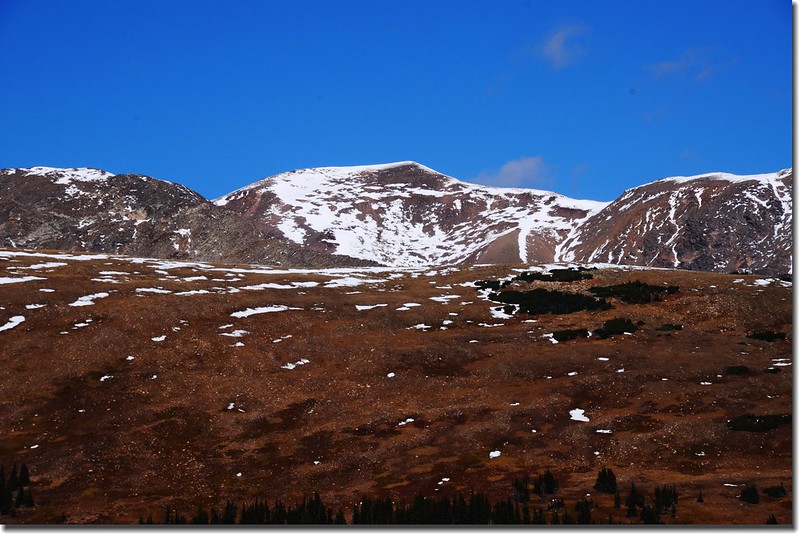
Looking Northwest at Parry Peak from Bill Moore Lake Trail near 11,185'
Looking Northwest at Mount Eva from Bill Moore Lake Trail near 11,185'
Looking Northwest at Witter Peak from Bill Moore Lake Trail near 11,185'
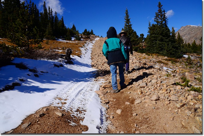
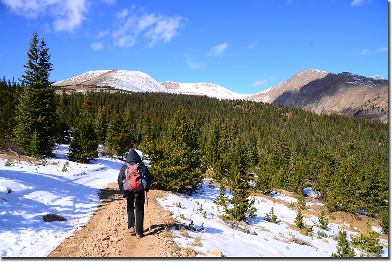
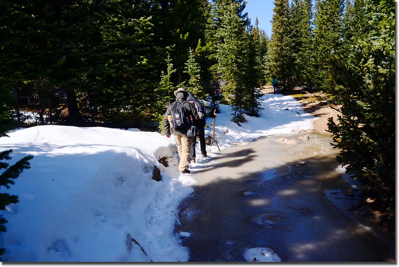
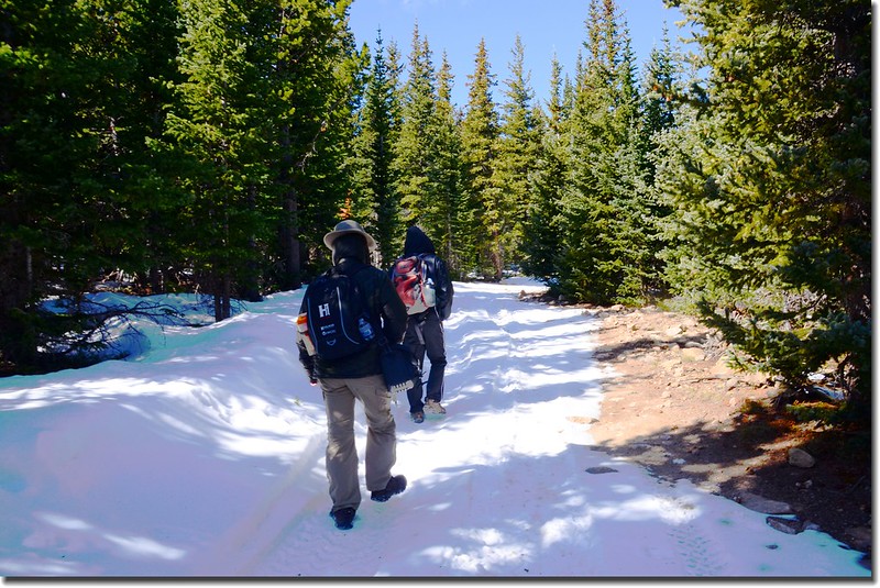
Bill Moore Lake Trail, Empire, Colorado
Looking South at Mount Evans, Torreys Peak et al.from the trail near 11,252'
Looking South at Mount Evans(L) & Bierstadt(R) from the trail near 11,252'
Looking South at Grays Peak.(L) & Torreys Peak(R) from the trail near 11,252'
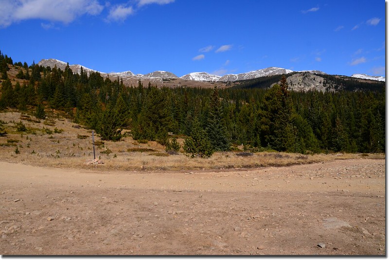
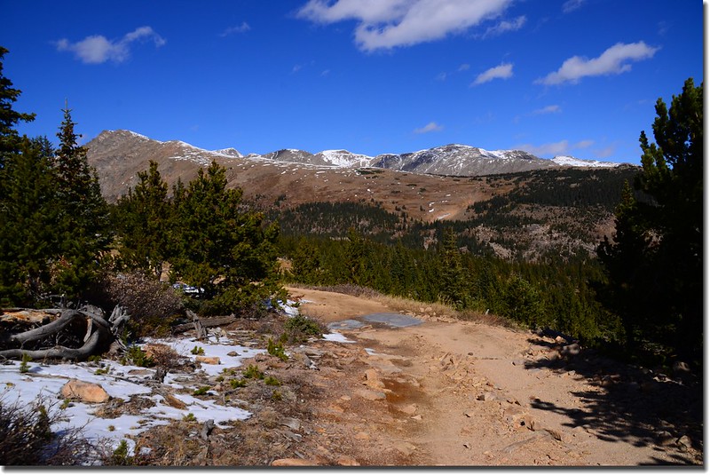
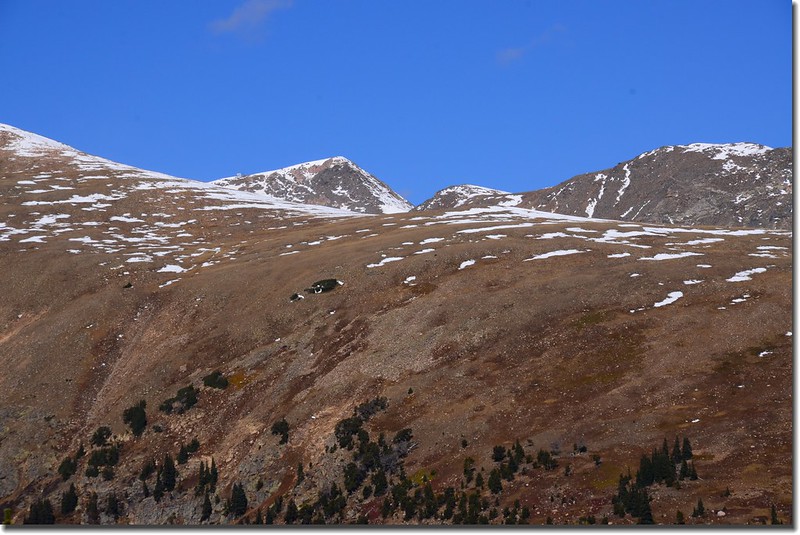
11:45 抵道路制高點(39°47'52''N105°41'54''W),海拔約11,400呎(3,475公尺),距停車處約3.9哩;此處已接近Mount Eva~James Peak稜線,幾個山頭近在咫尺,研判Bill Moore Lake就在正前方西北山谷中,沿著積雪的車道續往林中前進。
Looking Northwest at mountains from Bill Moore Lake Trail near 11,400'
Looking Northwest at James Peak et al. from Bill Moore Lake Trail near 11,400'
Looking Northwest at James Peak et al from Bill Moore Lake Trail near 11,400'
11:50 抵達道路盡頭(39°47'51''N105°41'59''W),此處海拔11,410呎(3,478公尺),距停車處約4.0哩;森林中積雪甚厚,已找不到有路徑的痕跡,研判是走錯路了,徐領隊下令撤退。
11:58 回到道路制高點(39°47'52''N105°41'54''W)拍照後循原路下山。
Taken from Bill Moore Lake Trail near 11,400' (10)
Looking South at Guanella Pass & Mount Evans et al. from Bill Moore Lake Trail
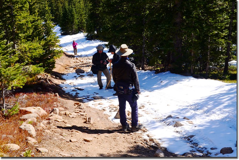
Bill Moore Lake Trail, Empire, Colorado
13:50 回到停車處共乘下山。
沒有留言:
張貼留言