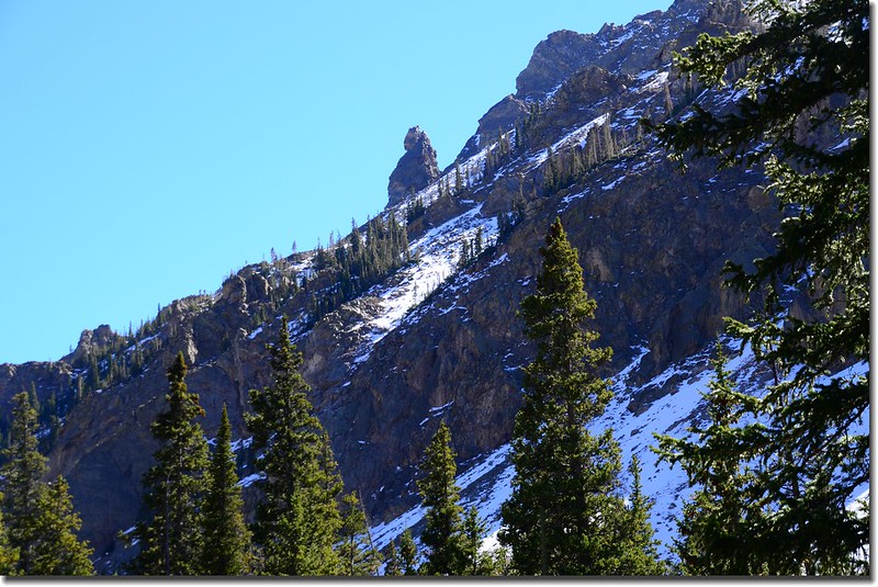
The rocky slope near South Willow Falls
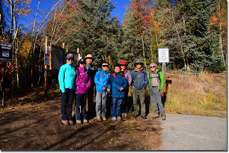
今天和華人登山隊前往Silverthorne走South Willowbrook Trail前往South Willow Falls,然後又沿著Gore Range Trail往上走了近一哩路才下撤,我們是從Willowbrook Trailhead起登,今天共走了約8.0哩;這是一條不錯的健行步道,尤其是從登山口到瀑布這一段路路況極佳,距離不長(單程3.2哩),爬升高度步高(約1,100呎/335公尺),是一條老少咸宜適合家庭親子一同健行的步道!
-------------------------------------------------------------------------------------------------------
攀登地點:South Willow Falls (海拔10,020呎/3,054公尺)
登山口:Willowbrook Trailhead (海拔8,970呎/2,734公尺)
登山里程:South Willow Falls來回約6.4哩,附加Gore Range Trail來回約1.6哩,合計約8.0哩
總爬升高度:約1,500呎(457公尺)
登山時間:約5小時12分
-------------------------------------------------------------------------------------------------------
行車資訊:
由Golden走CO-470 E下交流道後走I-70 W西行,行約54.3哩後於Exit 205出口 (CO-9 N出口)下交流道,朝US-6 E/Silverthorne/Dillon前進,行0.3 哩後於CO-9 N/Blue River Pkwy向右轉沿CO-9 N續行,再行1.9哩左轉Willowbrook Rd,一路沿著Willowbrook Rd穿過社區西行,行約1.1哩後抵達道路左側的Willowbrook Trailhead停車場。
步程簡述:
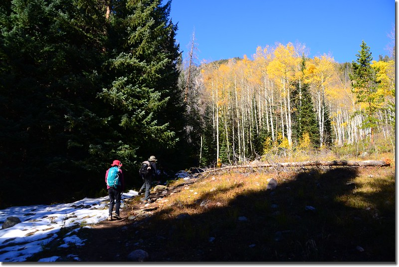
09:10 登山口出發,海拔約8,970呎(2,734公尺)。
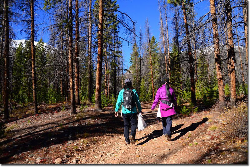
Taken from Willowbrook Trailhead
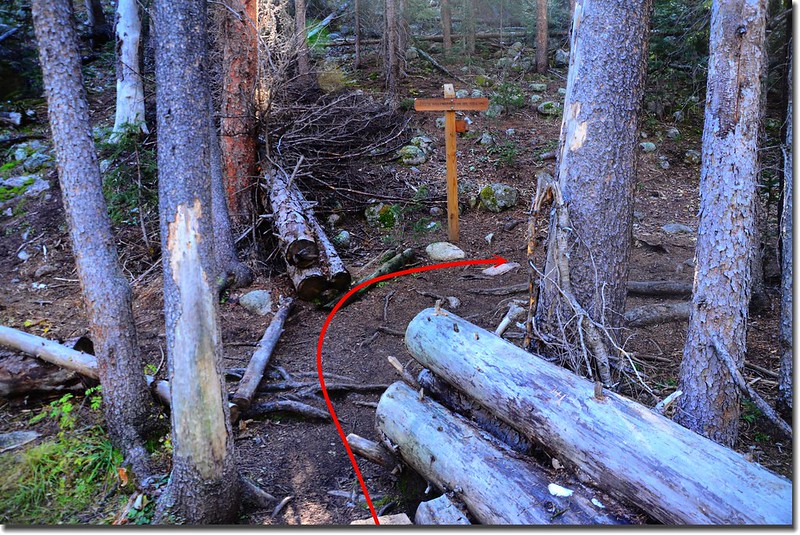
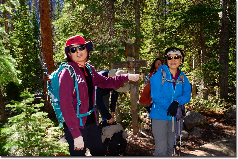
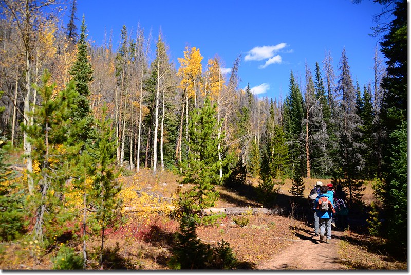
09:14 行約幾十公尺遇岔路,右岔為Ditches Trail,左直行為South Willowbrook Trail,取左直行。
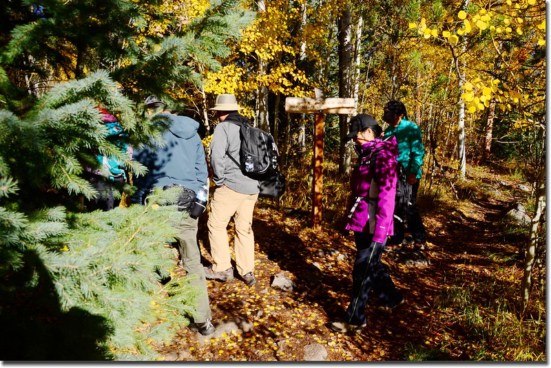
South Willowbrook Trail & Ditches Trail fork
09:15 行約一百多公尺經由兩根原木小橋跨過小溪溝。
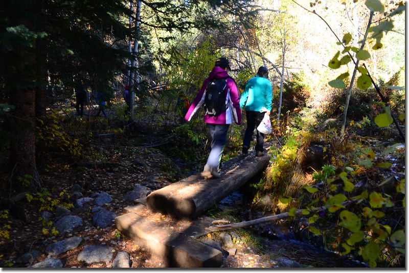
Crossing log bridge at the creek
09:16 小徑旁立有一面“Willow Creek Open Space”鐵牌,提醒登山客此處是Willow Creek Open Space範圍。

Willow Creek Open Space sign
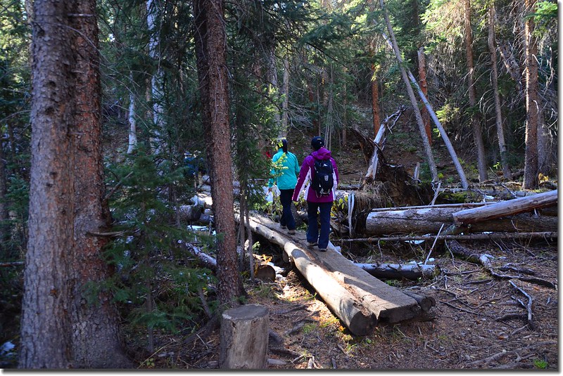
09:17 連續兩座原木橋跨過小溪溝。
09:18 再經一座原木橋跨過小溪溝,前面經過的小溪流都是North Willow Creek和Middle Willow Creek的支流;當經過這些多支流的低漥地區後登山步道在罹患蟲害的稀疏松林間緩坡上升。
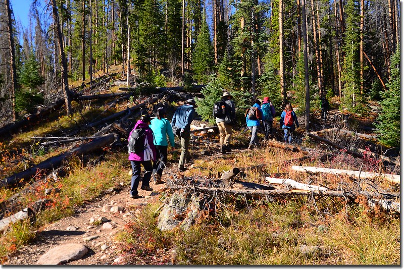
South Willowbrook Trail, Silverthorne
09:19 步道經過左側一大巨石後右彎進入稜線上緩升,此時左下方傳來South Willow Creek隆隆流水聲。
Aspen along the trail
09:25稜線小徑左側又有一面“Willow Creek Open Space”鐵牌,意指脫離Willow Creek Open Space,過幾歩路小徑右側立有一面“Eagles Nest Wilderness”木製界牌步道進入Eagles Nest Wilderness範圍;
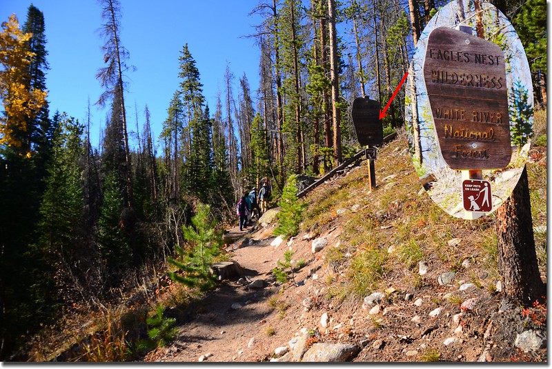
Eagles Nest Wilderness boundary
之後步道沿著山坡左側腰繞一小段後緩降到小河邊沿著河邊上行,左側是South Willow Creek。
09:29 兩三根原木長橋跨過South Willow Creek,此處海拔約9,210呎(2,807公尺),距登山口約0.6哩;過橋後木製指示牌標示右往South Willowbrook Trail,隨即右轉沿著South Willow Creek左岸上行。
Crossing log bridge at South Willow Creek
South Willowbrook Trail, Silverthorne
09:34 路右透空處出現Buffalo Mountain積雪山頭。
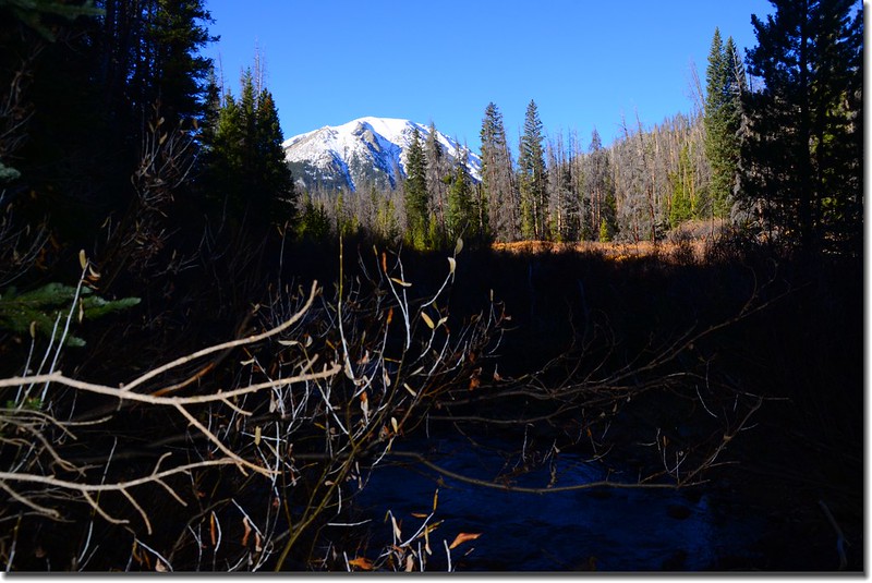
Buffalo Mountain from South Willowbrook Trail
09:35 步道來到平坦的松林間前進,諾大的松林近半遭受到Mountain pine beetle的蟲害而枯死。
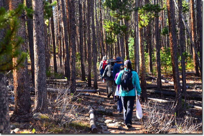
South Willowbrook Trail, Silverthorne
09:49 步道接上Mesa Cortina Trail,此處海拔約9,422呎(2,872公尺),距登山口約1.1哩;岔路左邊下山通往Mesa Cortina Trailhead,右邊上山接Gore Range Trail,取右行,步道仍在平坦的松林間前進。

Willowbrook Trail & Mesa Cortina Trail fork
10:00 三根原木橋跨過South Willow Creek,步道續沿South Willow Creek右(西)岸上行;
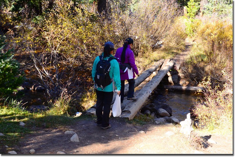
Crossing log bridge at South Willow Creek
再行數十公尺步道接上Gore Range Trail,此處海拔約9,428呎(2,874公尺),距登山口約1.6哩;右岔Gore Range Trail不取,取左沿Gore Range Trail直行。

Mesa Cortina Trail & Gore Range Trail fork
Gore Range Trail, Silverthorne
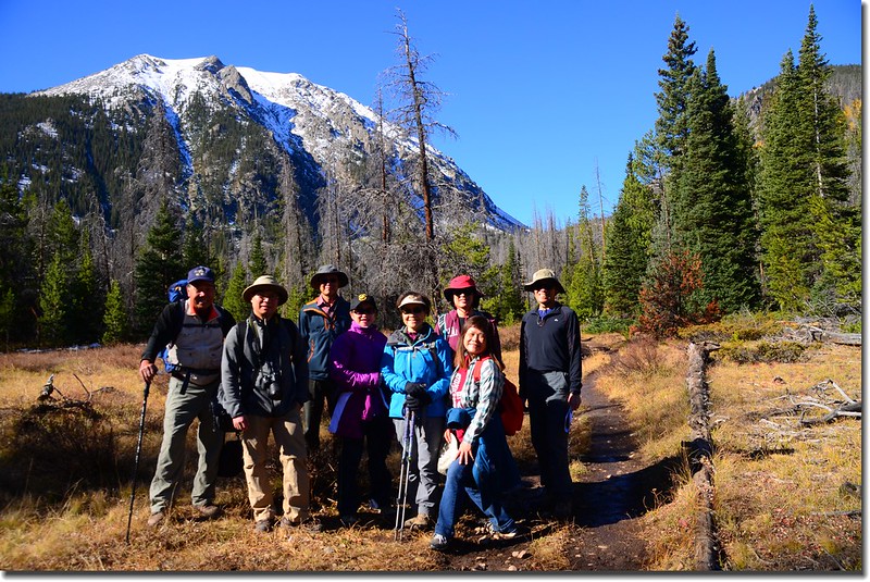
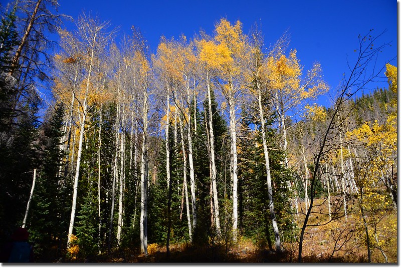
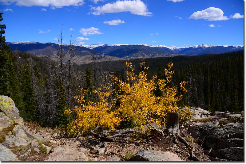
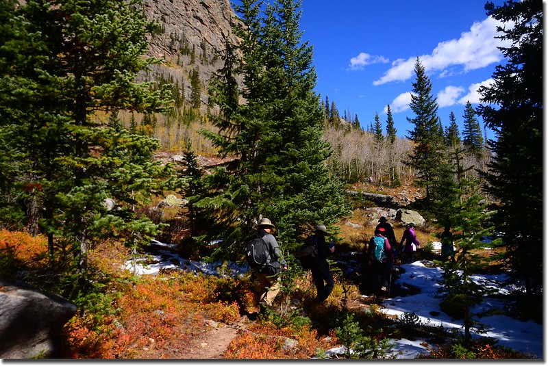
10:15 出松林來到一片大草原,此處海拔約9,540呎(2,908公尺),距登山口約2.4哩;碩大的Buffalo Mountain山頭覆蓋著靄靄白雪矗立在正前方,右側山頭則是由Red Peak拉出來的東稜,山坡上是一大片白楊木(Aspen),葉子已掉光,僅留下幾撮未掉光象徵秋末初冬的景緻。
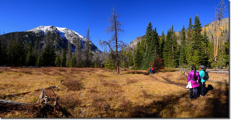
Buffalo Mountain (L) and Red Peak East Ridge (R) taken from the meadow

View of Buffalo Mountain up close from the meadow along Gore Range Trail
Taken from the meadow along Gore Range Trail
Aspen groves cover the east ridge of Red Peak
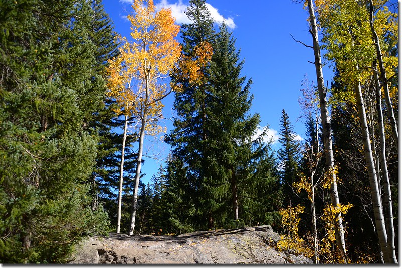
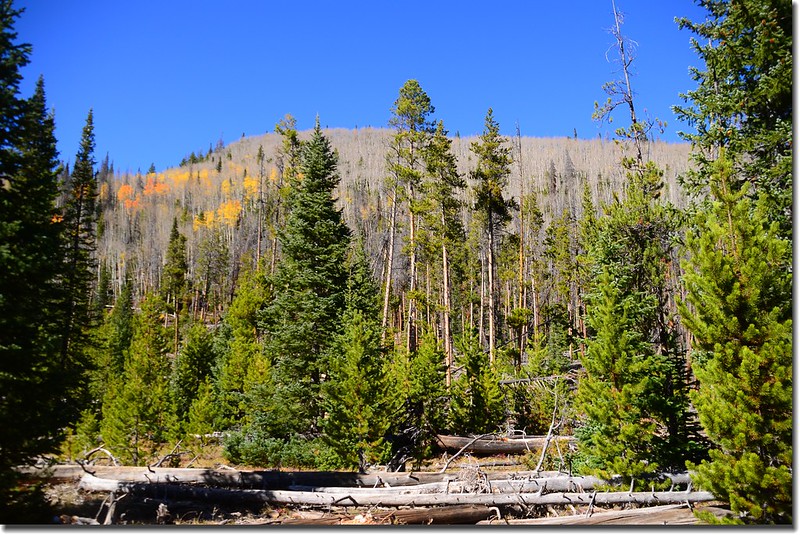
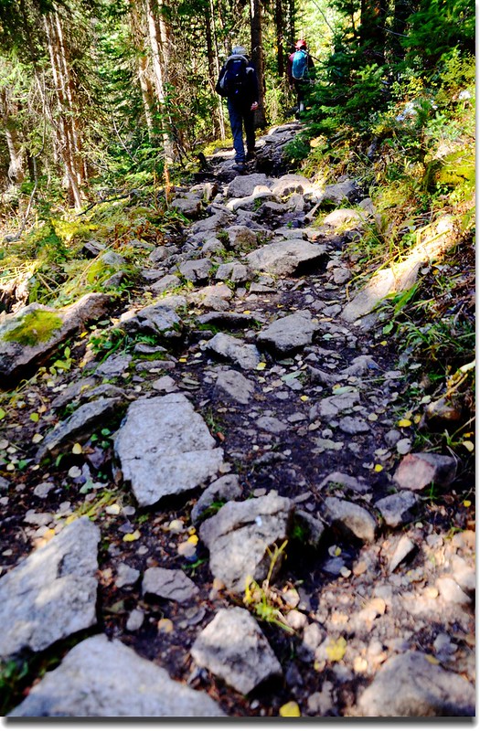
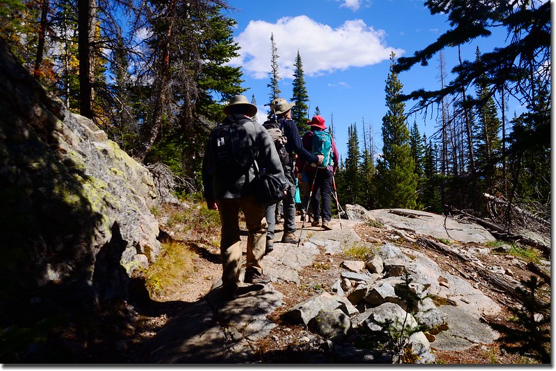
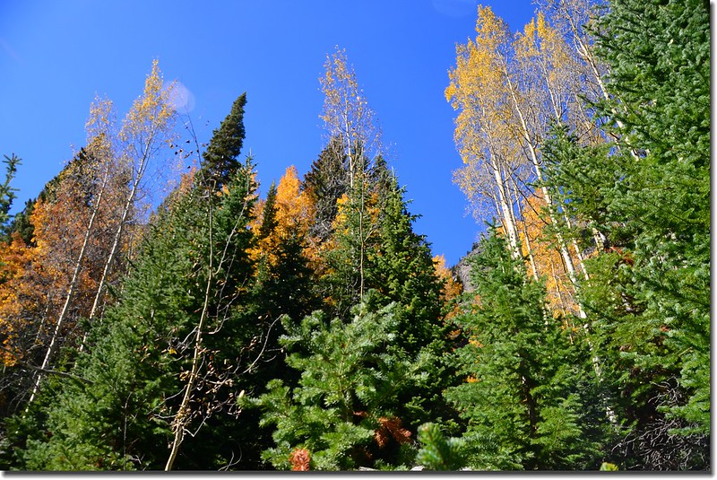
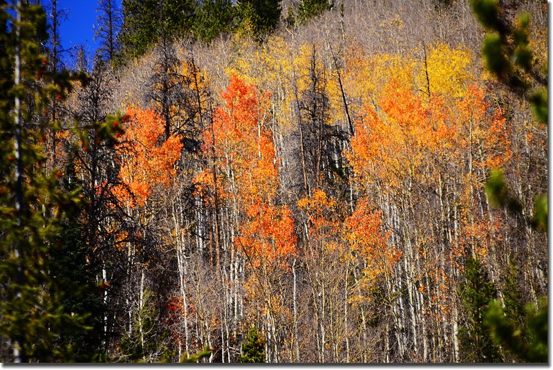
10:30經過幾處大小草原後步道又進入森林中緩升,隨著步道高度的爬升路徑變得狹小切多岩石,已不如草原之前的平坦好走;森林內小徑鋪著厚厚的一層白楊木落葉,陸續出現一堆一堆的殘雪,但還不至於對行進造成影響。
Gore Range Trail, Silverthorne
Just before dying, aspen leaves reach the height of color
Gore Range Trail, Silverthorne
Falling aspen leaves carpet the interior of the forest
10:35 抵達South Willow/Buffalo Cabin Connect Trail岔路,海拔9,640呎(2,938公尺),距登山口2.7哩;左岔通往South Willow/Buffalo CabinTrailhead,取右Gore Range Trail直行。
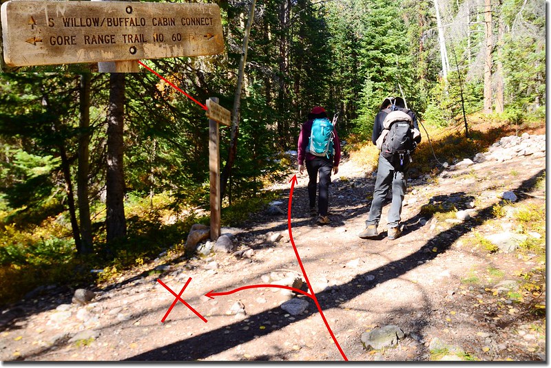
Buffalo CabinTrail & Gore Range Trail fork
10:46 途經路左一塊大巨石,紀錄記載此處距South Willow Falls剩下0.2哩。
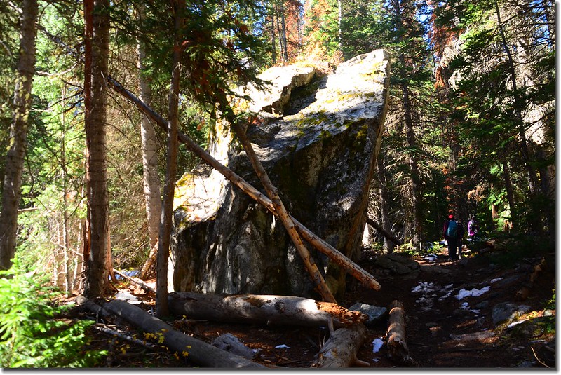
A massive 20' high block of granite along the trail
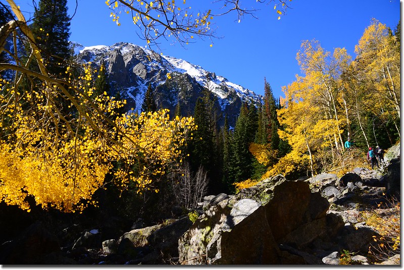
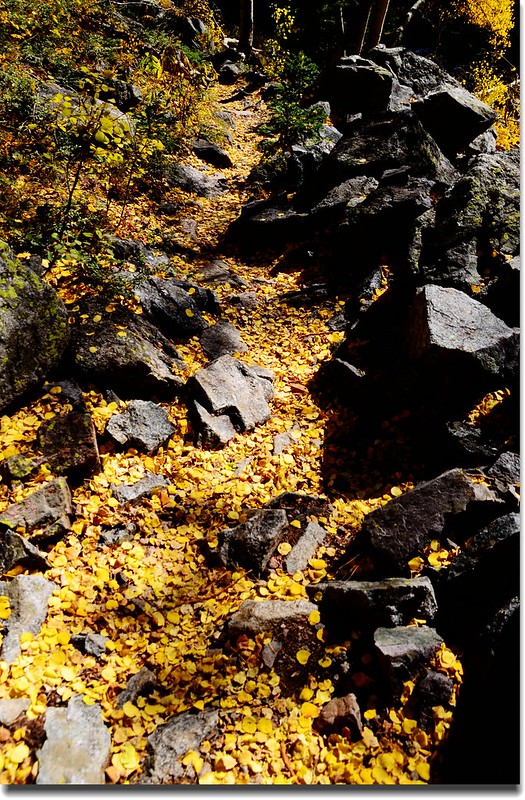
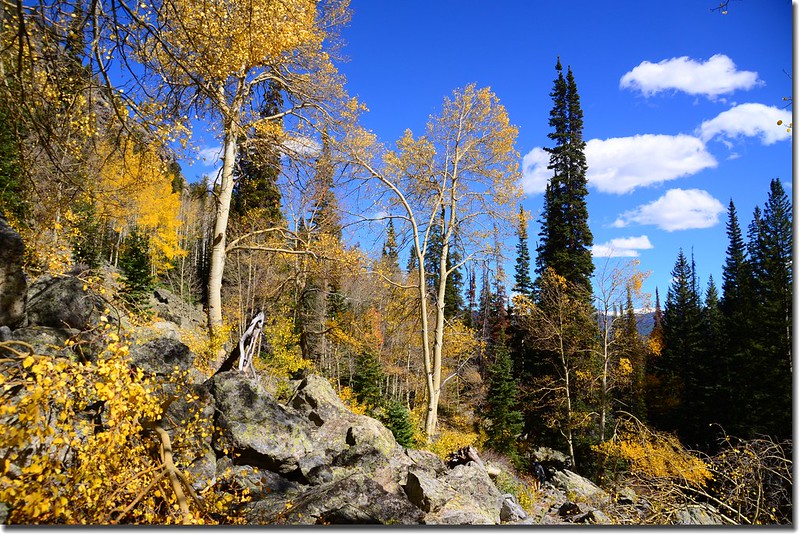
10:48 上抵一處石瀑區,幾棵金黃葉子的白楊木在靄靄白雪的Buffalo Mountain陪襯下益顯艷麗,在此消磨不少時間。
The trail heads rocky slope through stands of beautiful aspen trees

Aspen golden leaves
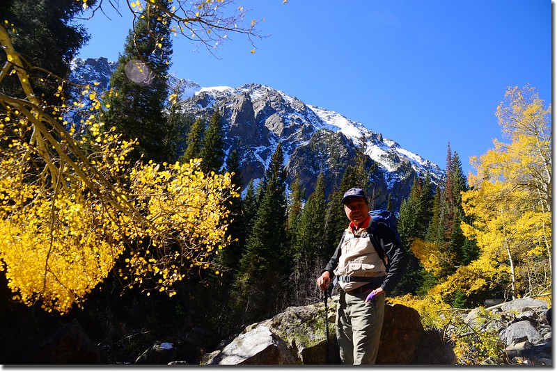
Taken from the rocky slope near South Willow Falls
11:00 途經路左一塊巨岩展望點。
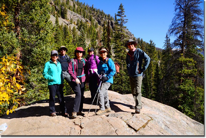
Taken from a rock viewpoint near South Willow Falls
11:02 抵達South Willow Falls岔路,此處海拔約10,035呎(3,059公尺),距登山口3.15哩;右續行為Gore Range Trail,取左下往South Willow Falls。
South Willow Falls Trail split
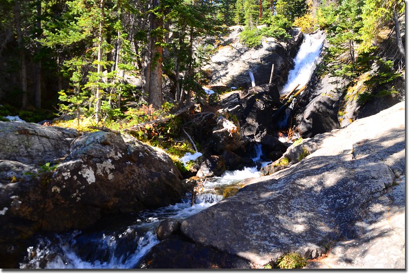
11:06 抵達South Willow Falls,此處海拔約10,020呎(3,054公尺),距登山口3.2哩。
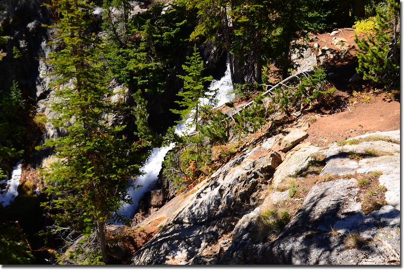
South Willow Falls可分上下兩層,上層是一條長瀑注入一潭小潭,下層則是一條Cascade;我們在上層岩石邊休息用餐。
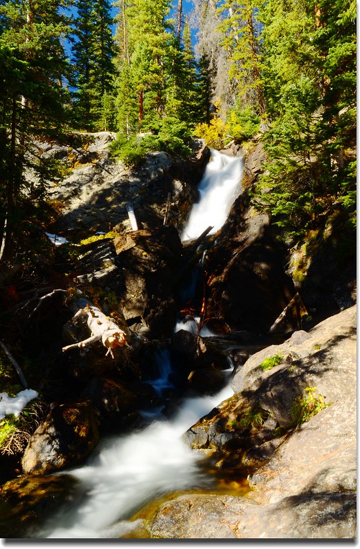
South Willow Falls
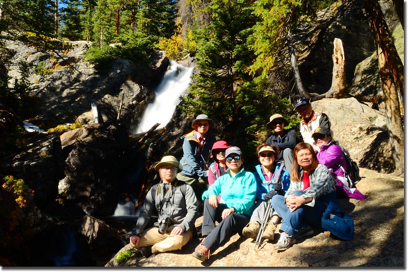
Taken from South Willow Falls
Looking east onto Grays, Torreys from South Willow Fall
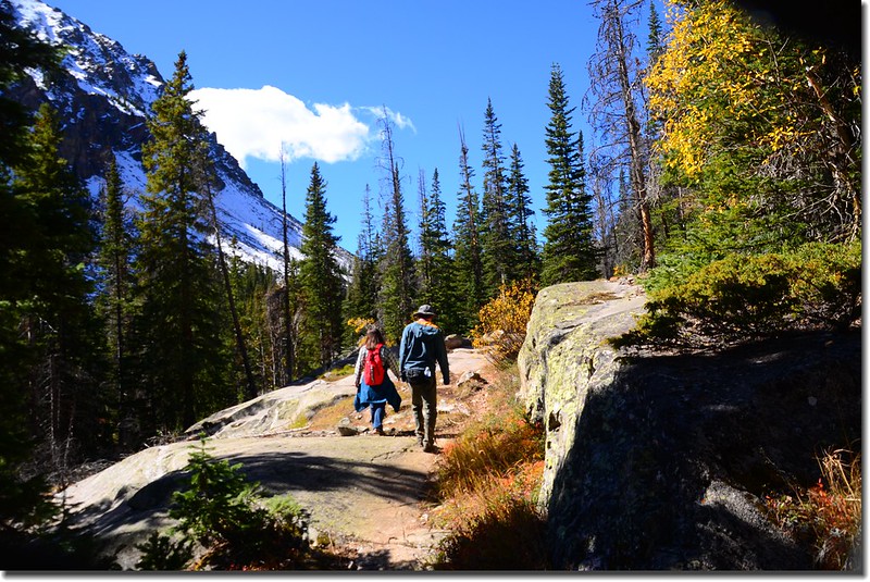
11:40 陳領隊計畫續往Gore Range Trail前行一段路,所以離開瀑布回到岔路口左轉續沿Gore Range Trail上登。

Gore Range Trail, Silverthorne
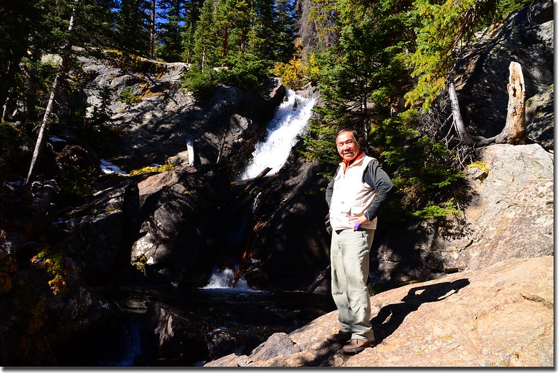
11:50 上抵South Willow Falls最頂端;
South Willow Falls from it's top
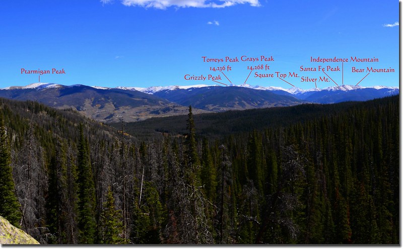
Looking east onto Grays, Torreys, Grizzly Peak et al.from the top of South Willow Fall
參觀後續沿步道上行,在海拔10,200呎以後步道旁積雪蠻多的,步道也顯得有點泥濘。

Gore Range Trail, Silverthorne
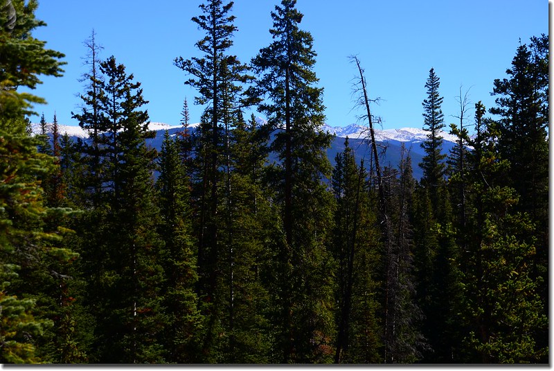
12:22 當抵達到海拔約10,300呎(3,139公尺),距登山口約3.9哩處時已稍微能從樹縫間空隙瞥見Red Peak白色積雪山頭,而左側龐大山頭正是Buffalo Mountain,怕下山太晚領隊下令撤退。
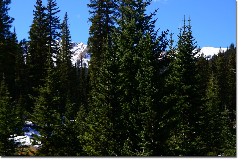
Looking at Red Peak through the trees
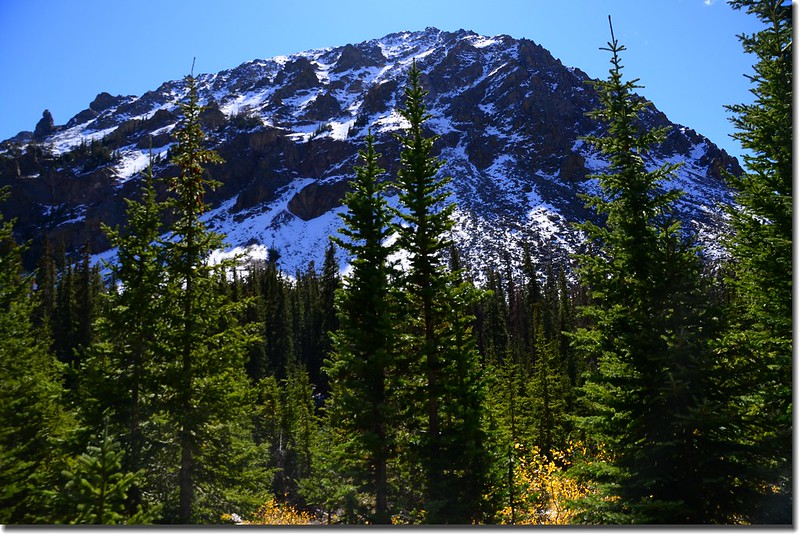
Buffalo Mountain from Gore Range Trail
Buffalo Mountain slope from Gore Range Trail
Gore Range Trail, Silverthorne

Aspen along the trail
14:22 回到登山口,整裝後原車共程回家。
沒有留言:
張貼留言