Looking Northwest down to Hells Hole from the summit of Gray Wolf Mountain
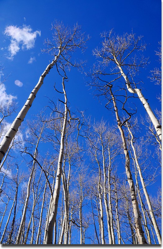
Hell's Hole Trail我在三年前曾單獨走過,今年來美時在六月初首度和台誕先生與品菁女士領軍的一群華人登山隊再次攀登,但該次走到山頂稜線時因積雪太厚找不到路跡而下撤,昨天再度隨同該登山隊前往攀登,雖然雪厚積雪也蠻多的,但總算順利走完全程;該步道全長約4.1哩,爬升高度約2000呎(610公尺)左右,算是一條蠻平易近人的登山步道,步道前段一哩左右是白楊木(Aspen)林,中段兩哩多則在松林間穿行,後段不到一哩路則是漫遊在Gray Wolf Mountain山腳下的河谷中,步道終點是一大片草原及柳樹叢(Willow grove),終點附近西側山坡有一片Bristlecone pines,東側河谷則有一稱為Hells Hole tarn的河中小湖,看地圖真正的Hells Hole應該是介於Gray Wolf Mountain與12,988峰間的山谷,但因該處無步道抵達,所以一般登山客都只抵達步道終點處的大草原。
--------------------------------------------------------------------------------------------------------
登山步道:Hell’s Hole Trail
登山口:Hell’s Hole Trailhead(海拔9,700呎/2,957公尺)
步道終點:Hell’s Hole tarn(海拔11,572呎/3,527公尺)
總爬升高度:約2,000呎/610公尺
登山里程:8.3哩/13.28公里
登山時間:4小時50分
--------------------------------------------------------------------------------------------------------
行車資訊:
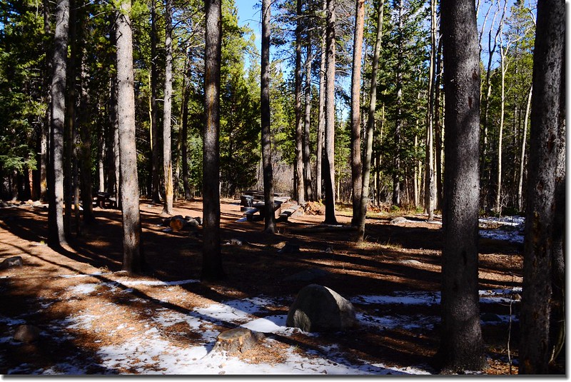
由JEFFCO Courthouse Parking lot開車上I-70州際公路西行,約20.3哩後在Idaho Springs由Exit 240出口左轉西南行即為Mount Evans Scenic Byway(CO 103)公路,沿CO 103公路行約6.5哩後在一急左轉彎處右岔改走West Chicago Creek Road,此路為有點顛簸之土石路,約3哩後抵達West Chicago Creek Campground旁的行車終點停車場,此為Hell’s Hole Trailhead停車場。
步程簡述:
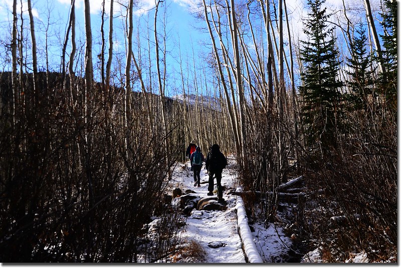
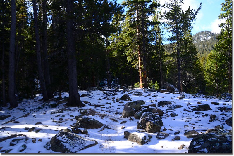
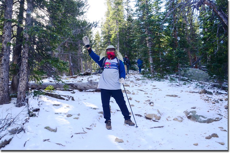
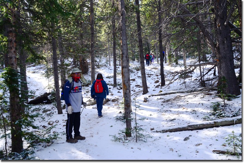
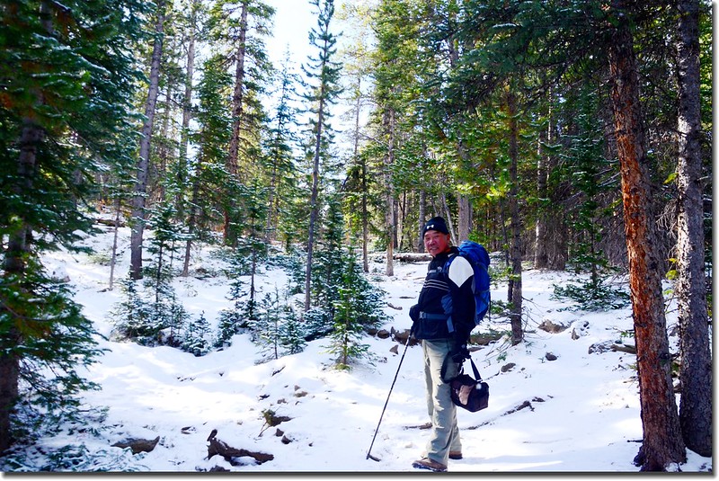
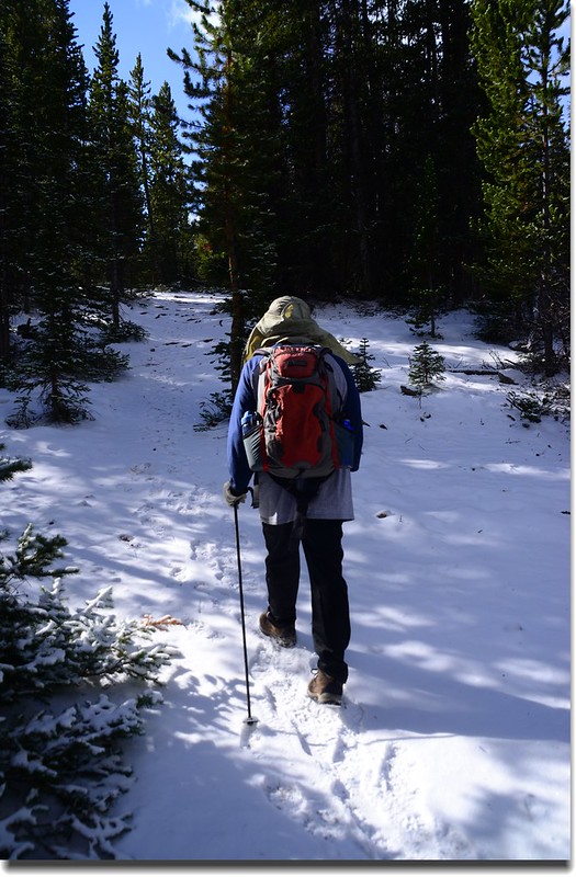
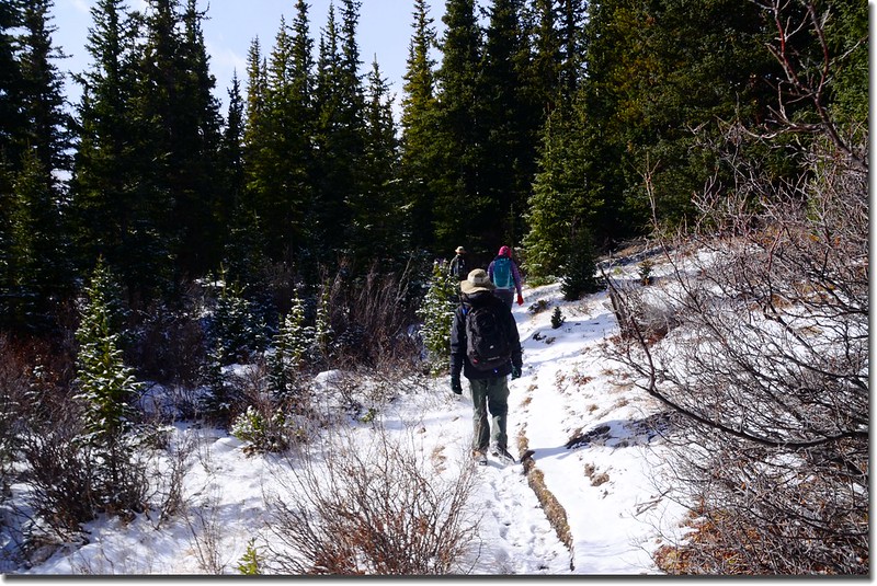
08:50 登山口出發,天空飄著細雪,地面上也是雪白一片,但望山上積雪不要太厚,否則又無法走完全程了;一開始是經過松林夾雜著白楊木的平緩地形。
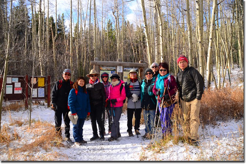
Hells Hole Trailhead
Hells Hole Trail, Colorado
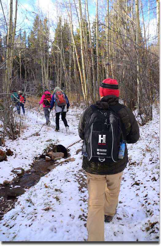
08:52 經過野餐區後步道開始在松林間爬升,左側是West Chicago Creek,登山步道上薄薄一層乾粉狀積雪走來蠻舒服的,此步道一路沿West Chicago Creek右側上行約一哩路直到稜線。
Picnic area near trailhead

Hells Hole Trail, Colorado
Aspen along the trail
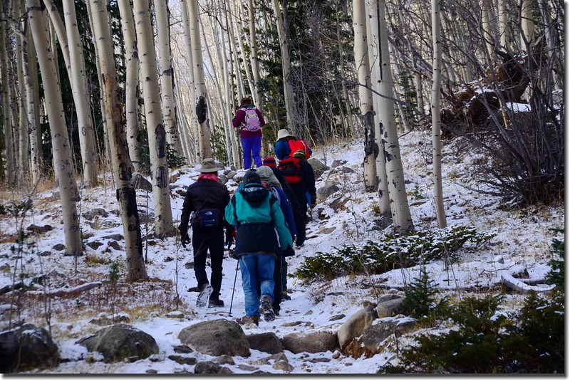
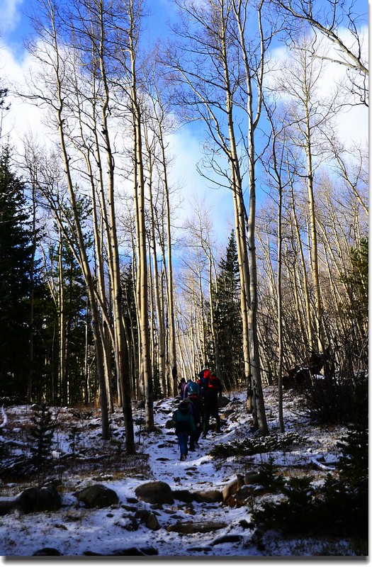
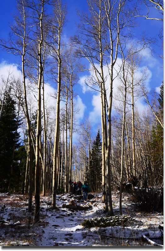
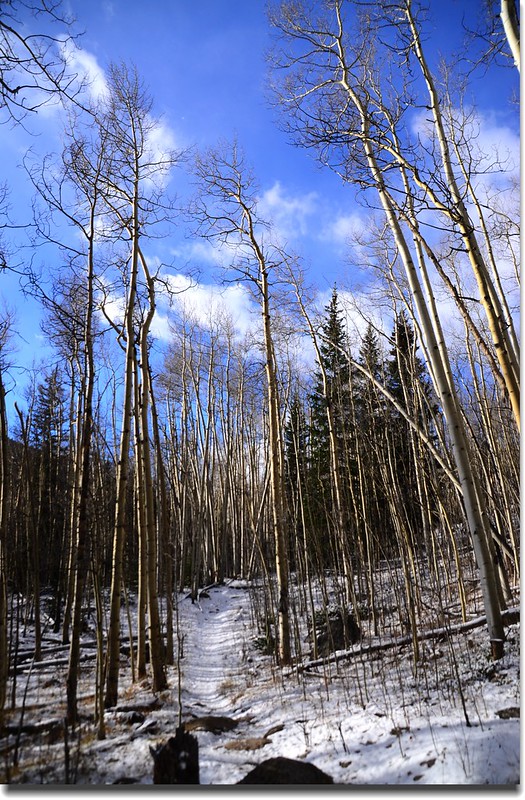
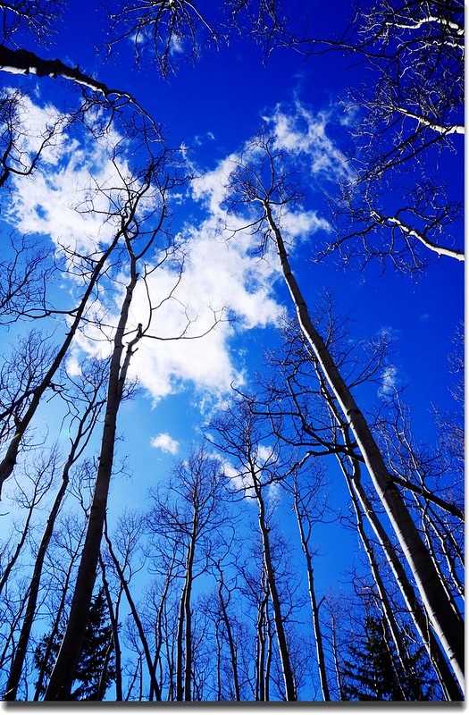
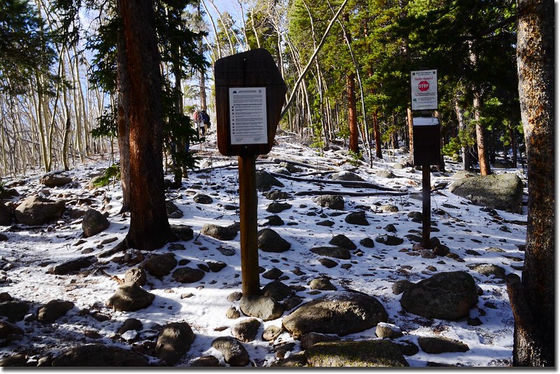
09:03 抵達一登山客進入Mount Evans Wilderness領域登記處(自助式),開始進入白楊木(Aspen)林區,此處亦是一處九月賞白楊木景點,白楊木葉子已全掉光,光禿禿的枝幹別是一種另類的蕭條感。
Aspen along the trail
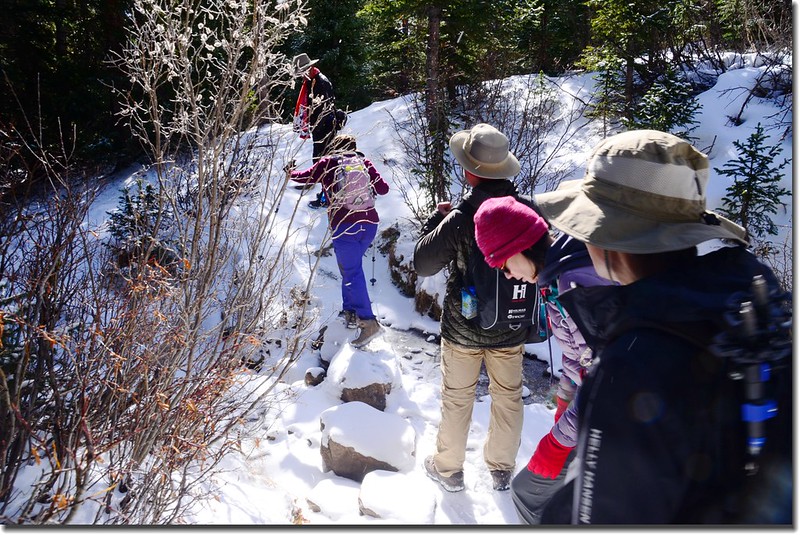
09:06 經一小溪流,上頭架兩根原木藉以渡過小溪流,小溪水量小,亦可跨溪而過。
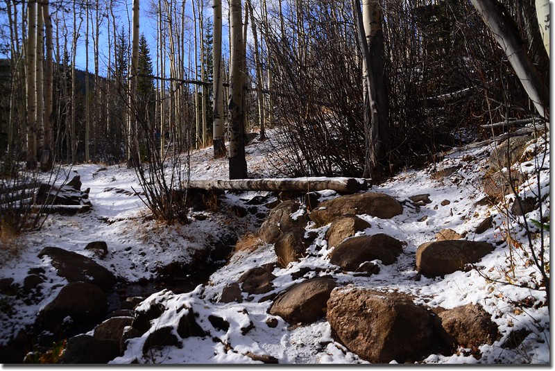
Crossing log bridge at the creek
Hells Hole Trail, Colorado
09:10 又經過一條水量較大的小溪,兩根大原木為橋,此處海拔約9,940呎(3,030公尺),距登山口約0.45哩,步道開始變陡。
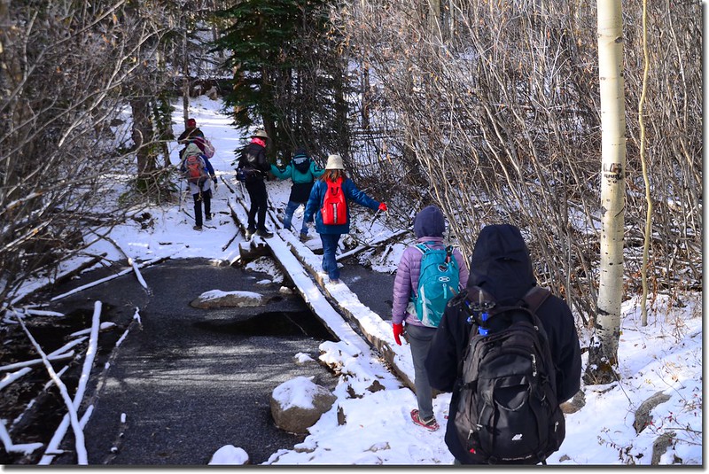
Crossing log bridge at the creek
09:22 上到一小支稜右轉循稜而上,此處海拔約10,000呎(3,048公尺),下山時此處易走錯不知左下切而沿稜線續下,宜加注意。
09:24 由稜線稍左下切進入山腰大片白楊木林“之”字上行,此處海拔約10,100呎(3,078公尺)。
Aspen along the trail
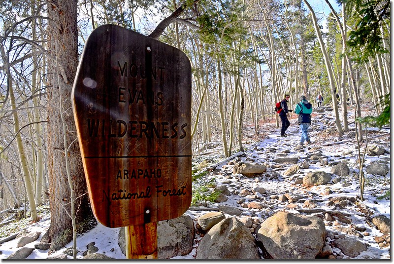
09:34 經過 “Mount Evans Wilderness”界牌,開始進入Mount Evans Wilderness範圍,此處海拔約10,250呎(3,124公尺),距登山口約0.95哩,已脫離白楊木林範圍進入松林區。
Mount Evans Wilderness boundary
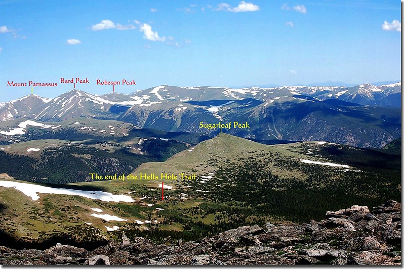
09:44 上抵稜線,林間透空處可西眺海拔 12,513 呎(3,814公尺)的Sugarloft Peak那金字塔狀山頂,此處海拔約10,472呎(3,192公尺),距登山口約1.4哩。
Hells Hole Trail, Colorado
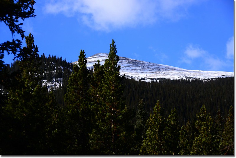
Sugarloaf Peak as seen from Hells Hole trail
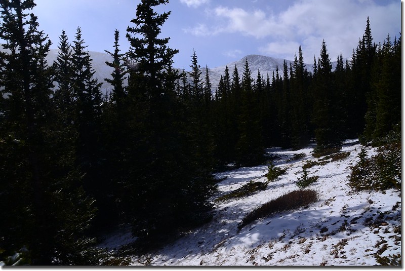
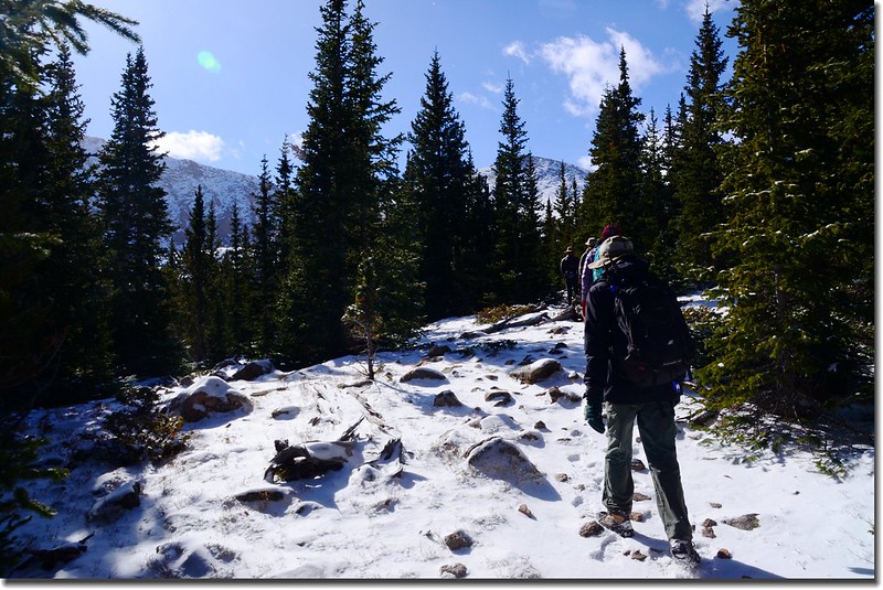
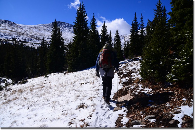
登山步道在此左轉沿稜線一路南行,坡度不大,時而穿行在松林間,時而暴露在空曠處,路徑積雪也隨著高度的增加而越來越厚,所幸沒厚到將路徑掩沒到無法辨識的地步。
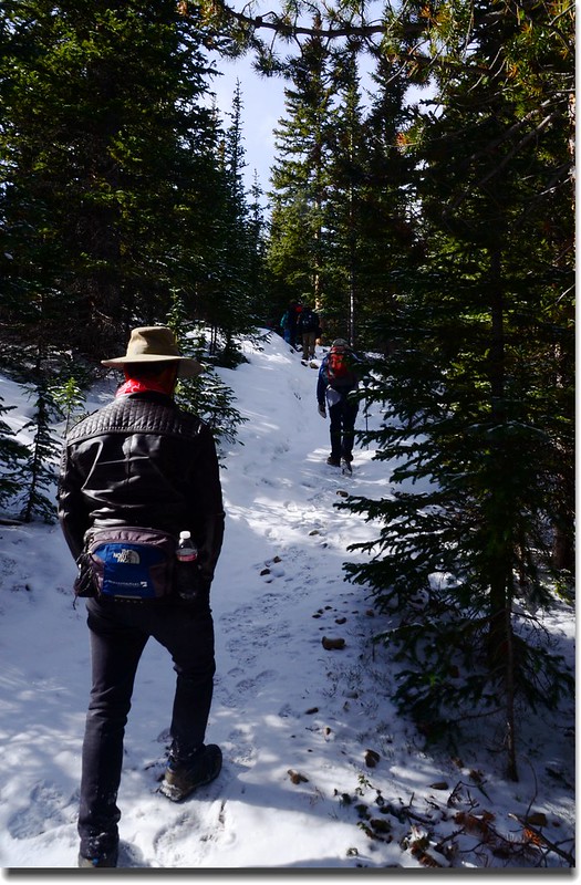
Hells Hole Trail, Colorado
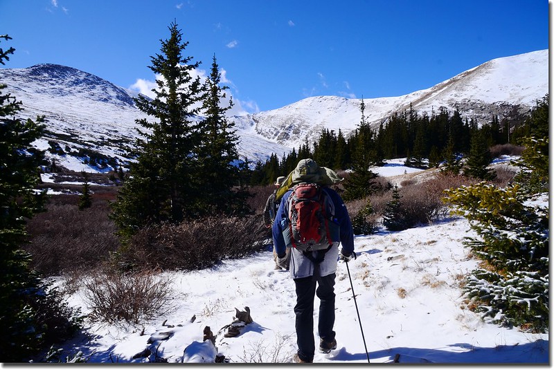
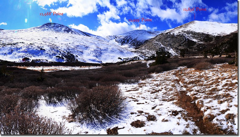
10:33 抵一稜線開闊處,海拔約11,211呎(3,417公尺),距登山口約2.8哩,此處往南眺可清楚看到海拔 13,609呎(4,148公尺)的Gray Wolf Mountain;
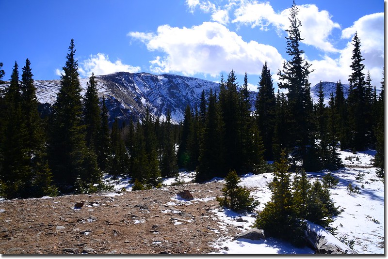
Looking South at Gray Wolf Mountain from Hells Hole Trail
Hells Hole Trail, Colorado
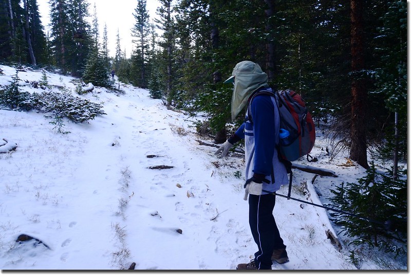
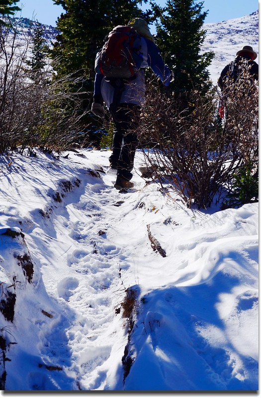
之後步道轉微緩下坡,今年六月初登此步道到此因積雪太厚找不到路跡而下撤。
Hells Hole Trail, Colorado
10:48 步道經一墊腳石跨過一處小溪溝,此處海拔約11,245呎(3,427公尺),距登山口約3.15哩。
Hells Hole Trail, Colorado
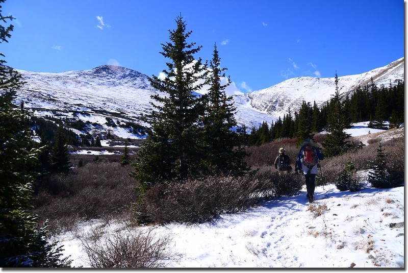
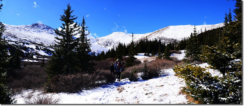
10:55 左側樹縫已可清楚看見Gray Wolf Mountain東北稜稜線,應該已接近West Chicago Creek河谷。
Hells Hole Trail, Colorado
Hells Hole Trail near West Chicago Creek valley
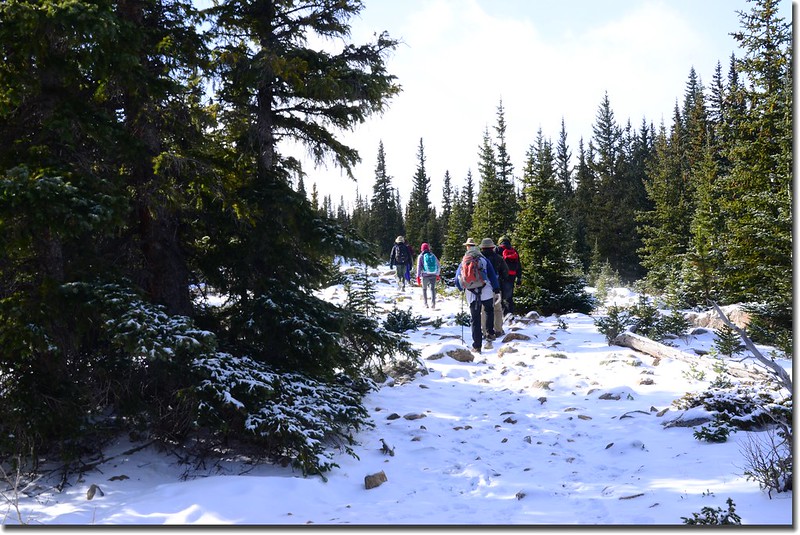
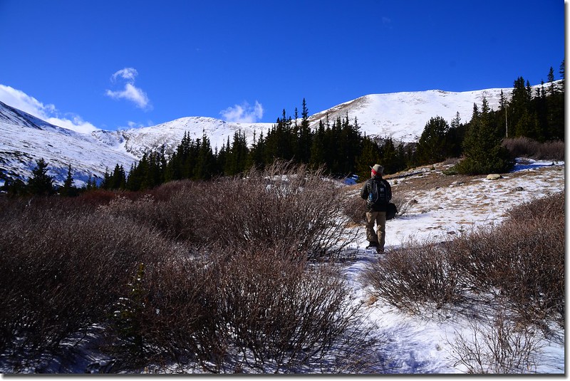
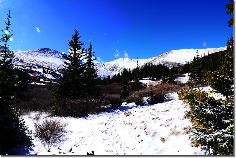
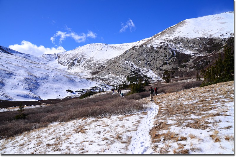
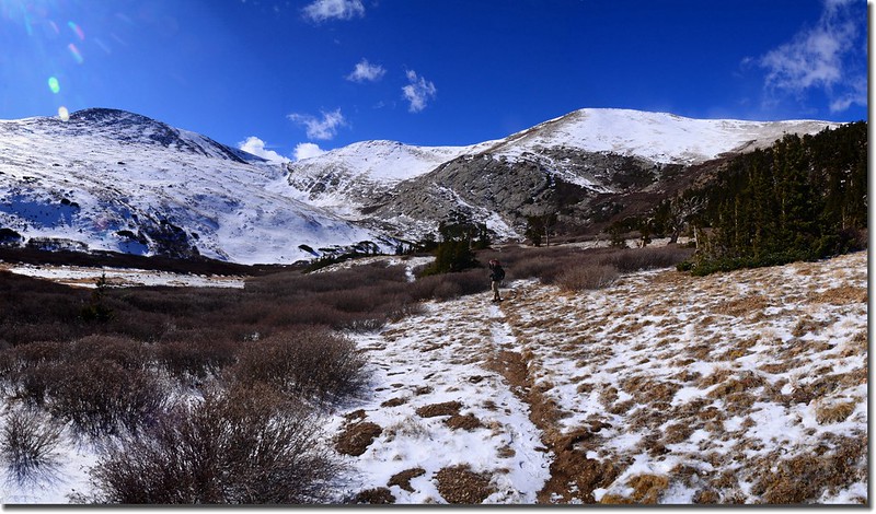
11:20 步道抵達Gray Wolf Mountain西邊12,988峰下West Chicago Creek河谷,此處海拔約11,421呎(3,481公尺),距登山口約3.7哩;
West Chicago Creek valley
河谷是寬平的大片Willow樹叢,步道繼續在Willow樹叢西側邊緣南行。
Looking South at the mountains from West Chicago Creek valley
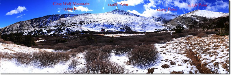
Looking South at the mountains from West Chicago Creek valley
Looking Southeast at Gray Wolf Mountain from West Chicago Creek valley
Hells Hole Trail, Colorado
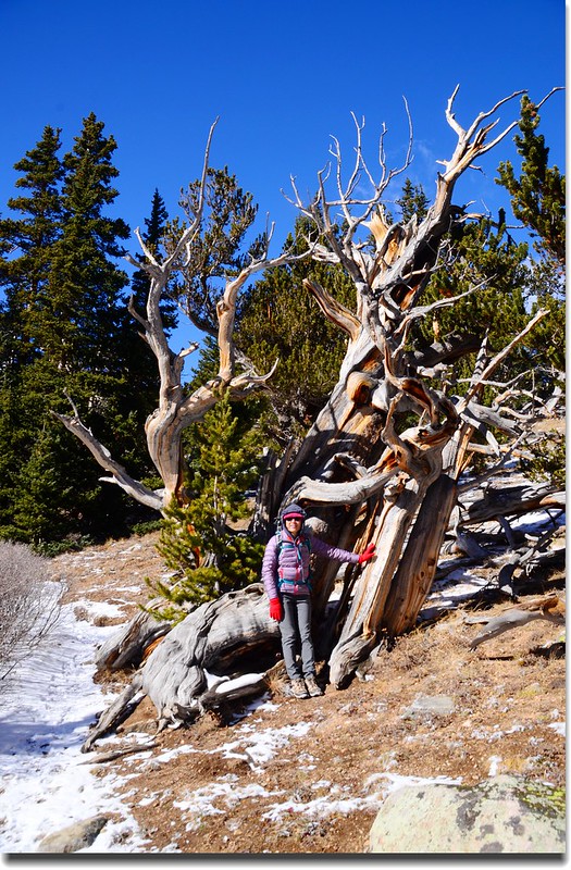
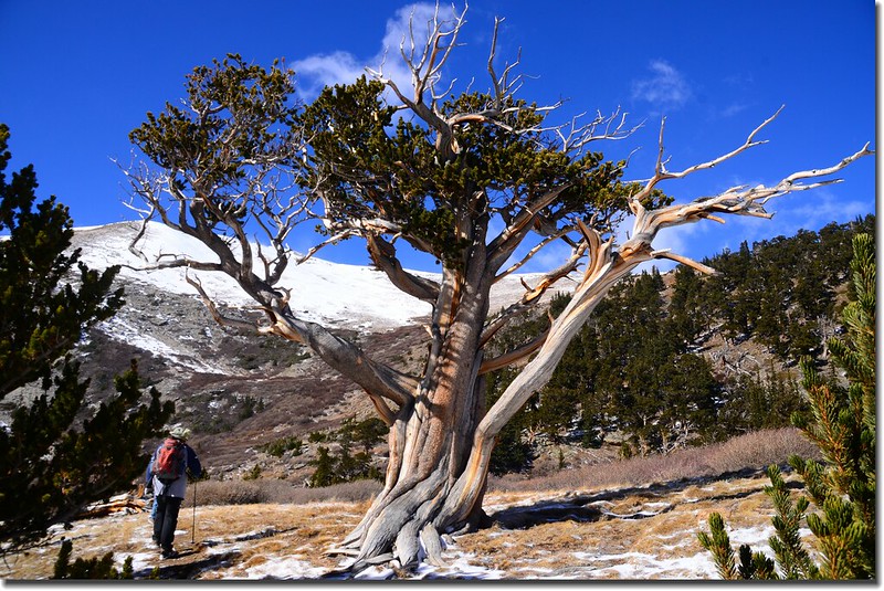
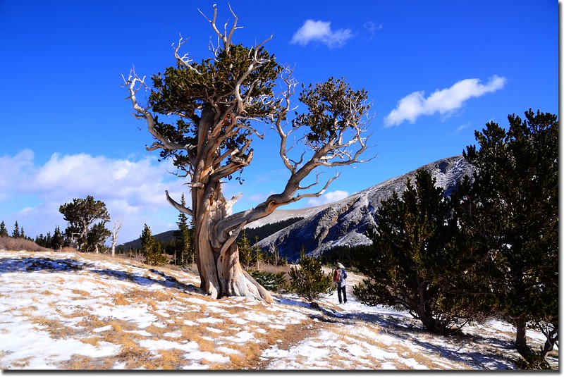
11:27 步道右側出現Bristlecone pine;
Bristlecone pine
這些生長在美國西南部的松樹叫作Bristlecone pines,其果有針刺,出現在Mount Evans Wilderness範圍內的Bristlecone pine樹齡介於1500 ~ 2500年之間;而三年前到我到內華達州(Nevada)大盆地國家公園(Great Basin National Park)所見的Bristlecone pines樹齡更高達5000年以上。
這些樹受絞刑而死!?----事實是高山松樹為因應強風而本能的扭曲以增加抗風力。

Bristlecone pine
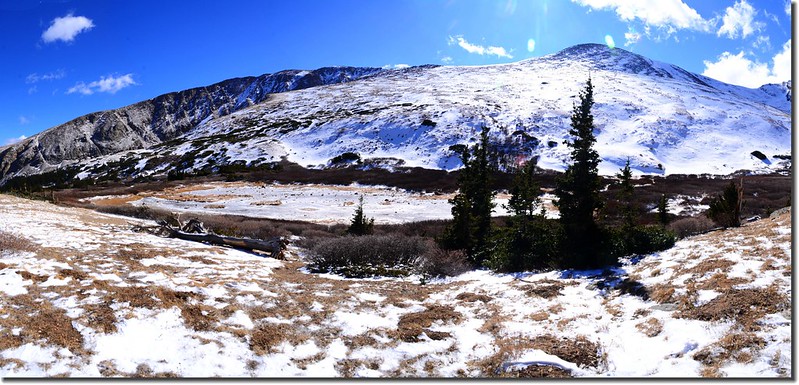
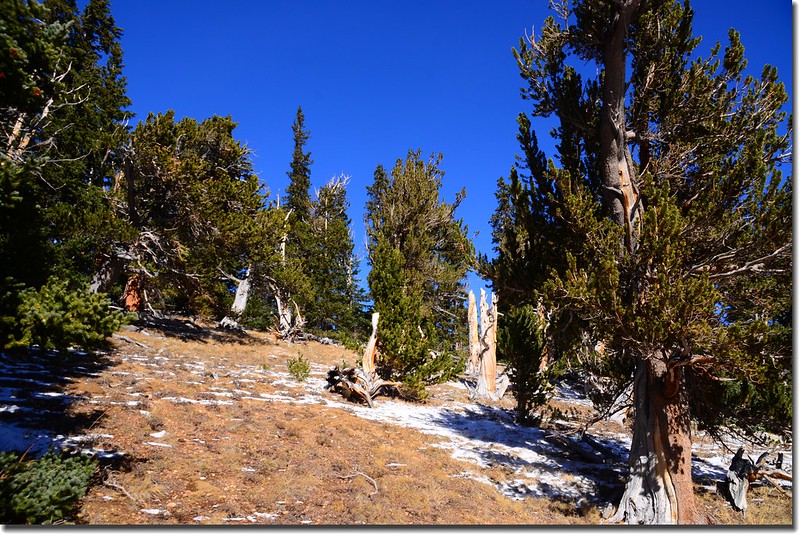
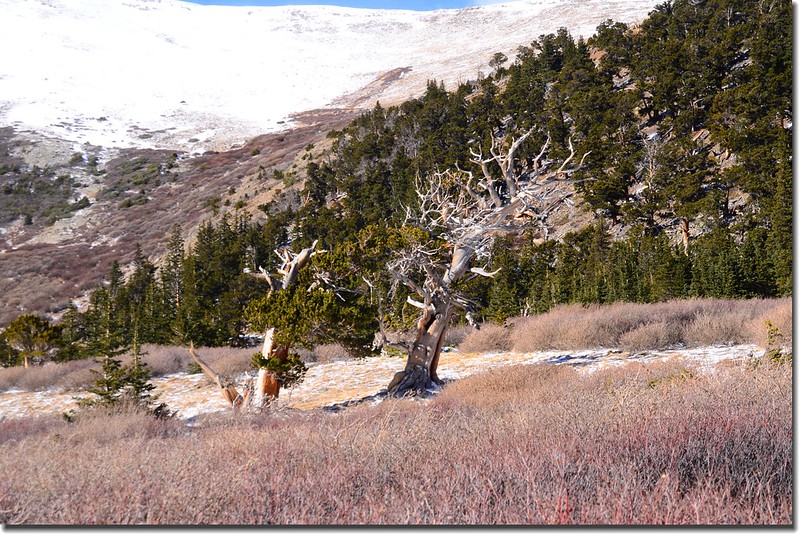
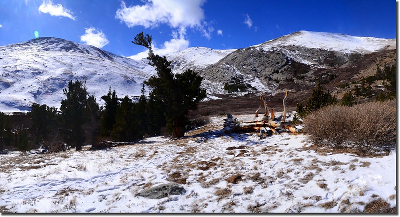
11:33 抵達Hells Hole Tarn,雖然名為“Tarn”(山中小湖),但原本已近乾涸的河床就看不出小湖的模樣,如今覆蓋一層積雪更瞧不出小湖的樣子!路右幾棵Bristlecone pine造型特殊;此處海拔約11,520呎(3,511公尺),距登山口約4.0哩。
Looking South at the mountains from West Chicago Creek valley
Bristlecone pine
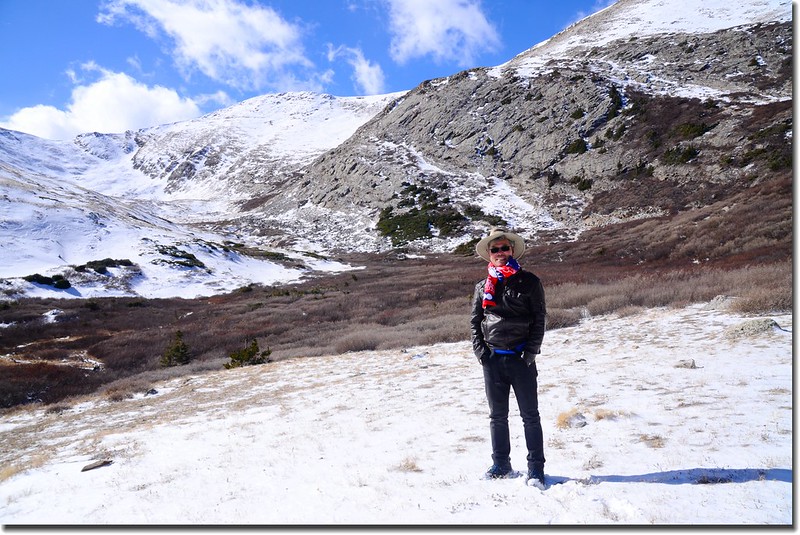
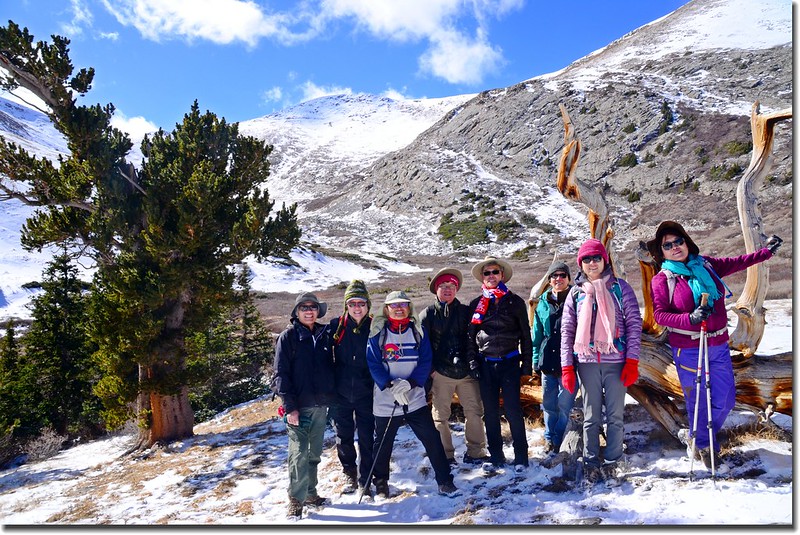
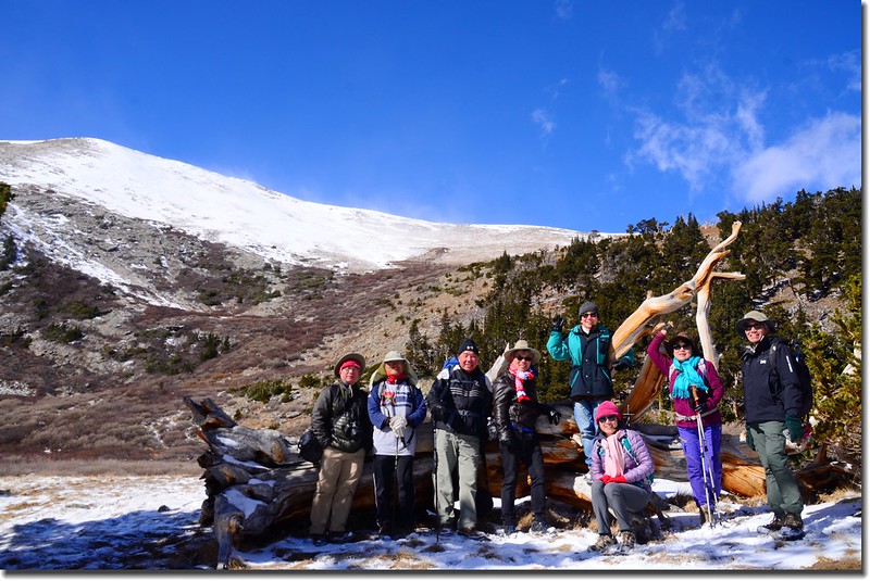
11:37 抵一片開闊地,登山步道終點,距登山口約4.1哩;再往前則是大片Willow樹叢阻路,在此拍照小休後因風大下撤。
Taken from the end of Hells Hole Trail
12:20 上抵稜線開闊處,開始沿稜線朝北偏東下行。
12:56 脫離稜線右下切入林下山。
13:05 下抵“Mount Evans Wilderness”界牌,續行下山。
13:19 抵大原木橋小溪,※遇登山口還有0.45哩。
13:40 回到登山口,全程含休息計費時4小時50分。
沒有留言:
張貼留言