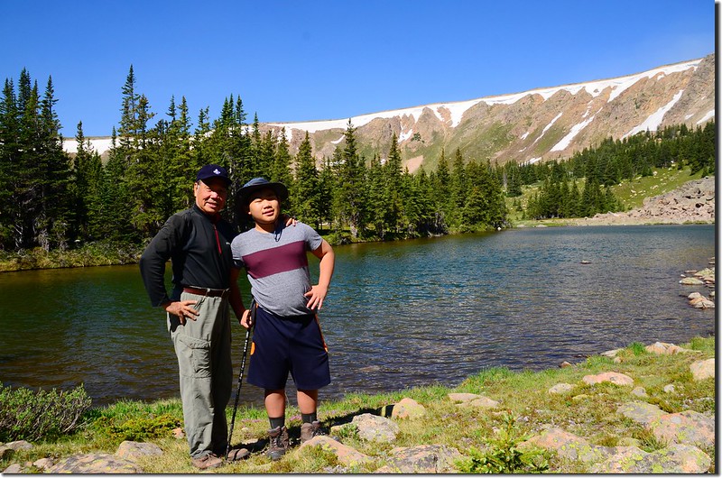
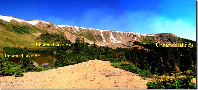
日前看到山友Tony去登一座我沒去過的高山湖,向他請教在何處後便帶著小孫子貝貝一同去攀登,該高山湖位在US 40公路往Winter Park途中公路最高點Berthoud Pass西北方的山上,有一條Berthoud Pass Ditch road可抵達湖的下方,查資料後發現該稜線下有三座湖,上方一座湖面積較大,左下方另有兩座較小的湖僅是一岸之隔相連在一起;該三座湖地圖上均無名字,Tony說是Current Lake,因該處一條小溪就是Current Creek。
~~~~~~~~~~~~~~~~~~~~~~~~~~~~~~~~~~~~~~~~~~~~~~~~~~~~~~~
攀登湖泊:
Current Creek源頭無名湖#1:海拔11,550呎(3,520公尺)
Current Creek源頭無名湖#2 & #3:海拔11,650呎(3,551公尺)
登山里程:來回約4.5哩(7.2公里)
總爬升高度:約600呎(183公尺)
登山時間:4小時17分
~~~~~~~~~~~~~~~~~~~~~~~~~~~~~~~~~~~~~~~~~~~~~~~~~~~~~~~
行車資訊:
由Thornton開車經I-25轉I-76、I-70西行,行至I-70里程232哩時由Exit-232下交流道,然後右轉沿U.S. 40 西行,行約14.5哩抵達道路最高點大陸分水嶺Berthoud Pass;
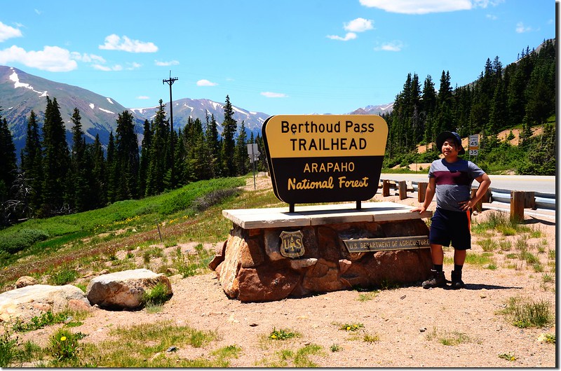
Berthoud Pass Trailhead
過Berthoud Pass後道路開始下坡,隨即在道路左側有一土石地面停車空間,此為登山口停車場,距Berthoud Pass約0.1哩。

Parking lot of Berthoud Pass Ditch trail
Berthoud Pass Trailhead
過Berthoud Pass後道路開始下坡,隨即在道路左側有一土石地面停車空間,此為登山口停車場,距Berthoud Pass約0.1哩。
Parking lot of Berthoud Pass Ditch trail
步程簡述:
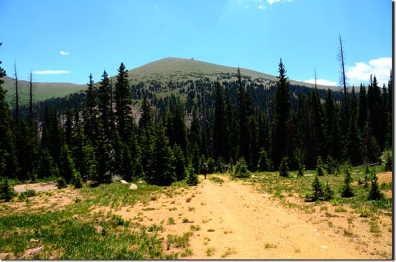
由停車處沿U.S. 40往北下坡續行約0.2哩/300公尺後道路右彎處在左側有一矮鐵柵門擋住之土石岔路即為Berthoud Pass Ditch road,此處海拔約11,200呎(3,414公尺),該鐵柵門僅管制車輛進入,登山客仍可由旁邊繞過進入。

Berthoud Pass Ditch trailhead
Berthoud Pass Ditch trailhead
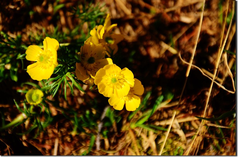
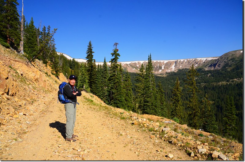
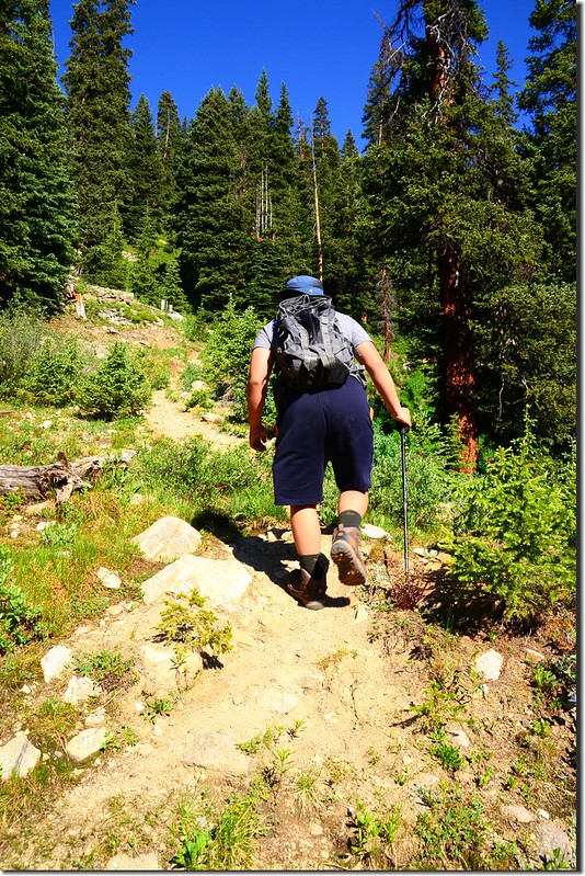
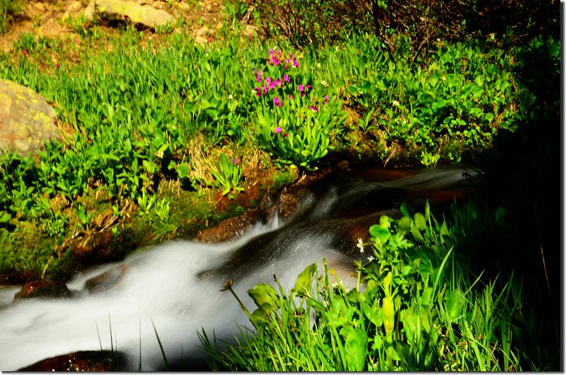
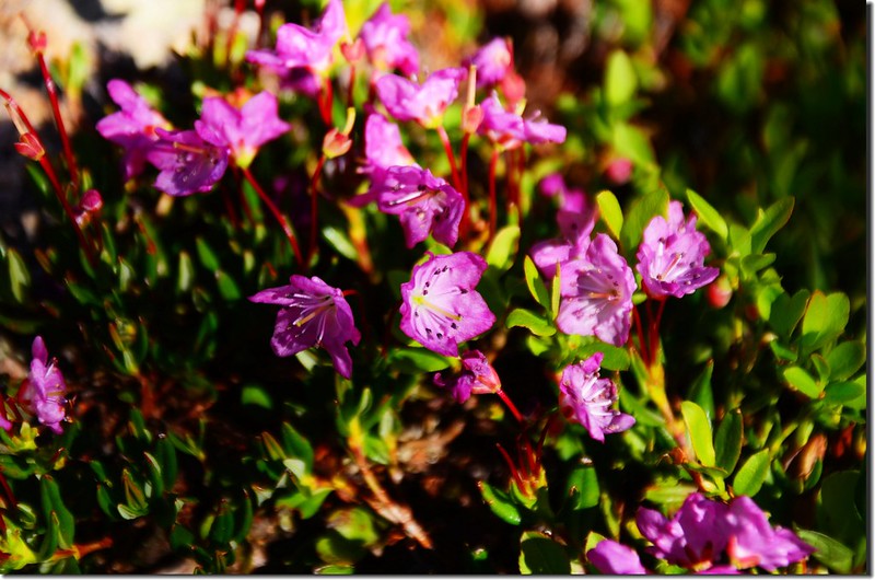
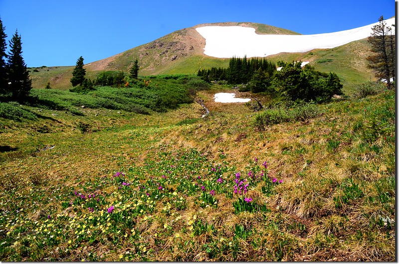
08:23 繞過鐵柵門後沿還算寬大的Berthoud Pass Ditch road北行,沿途野花盛開;
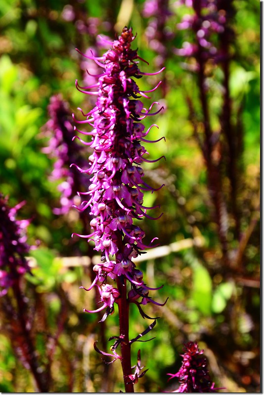
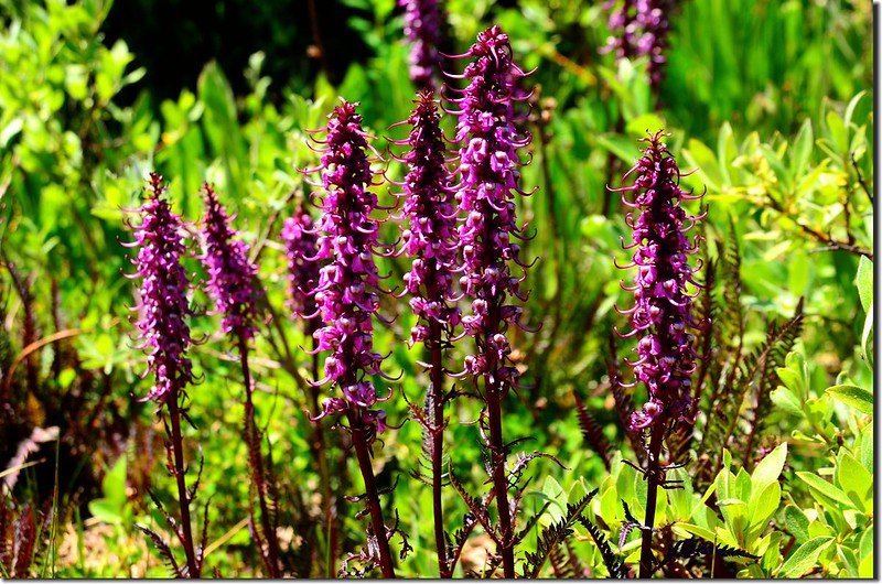
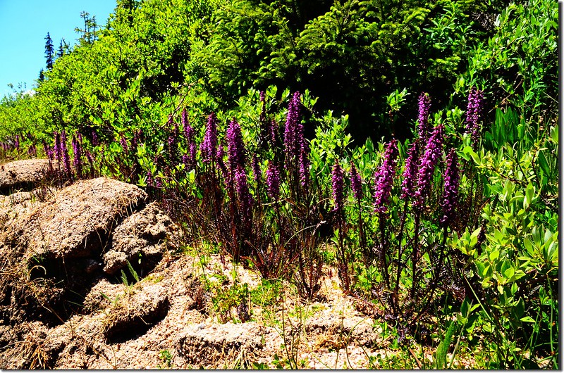
Elephant Head flower
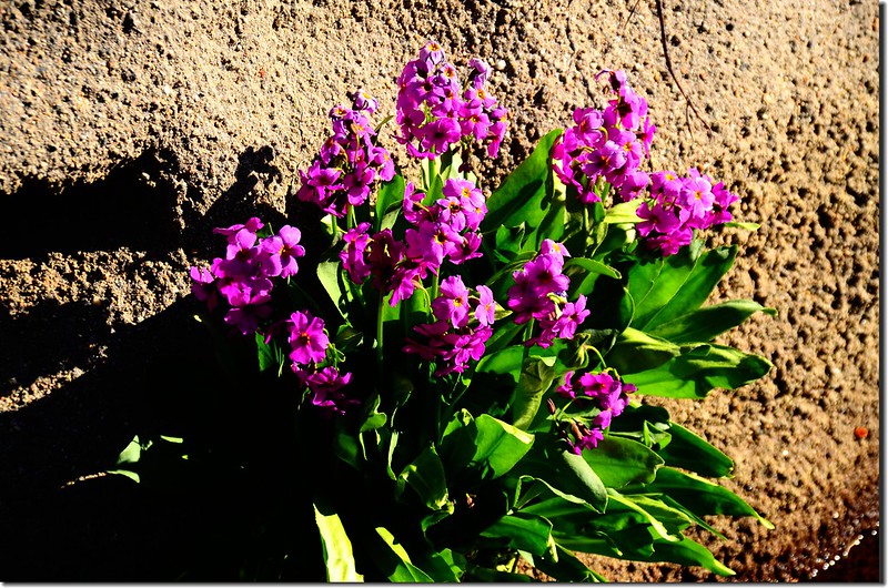
Parry Primrose
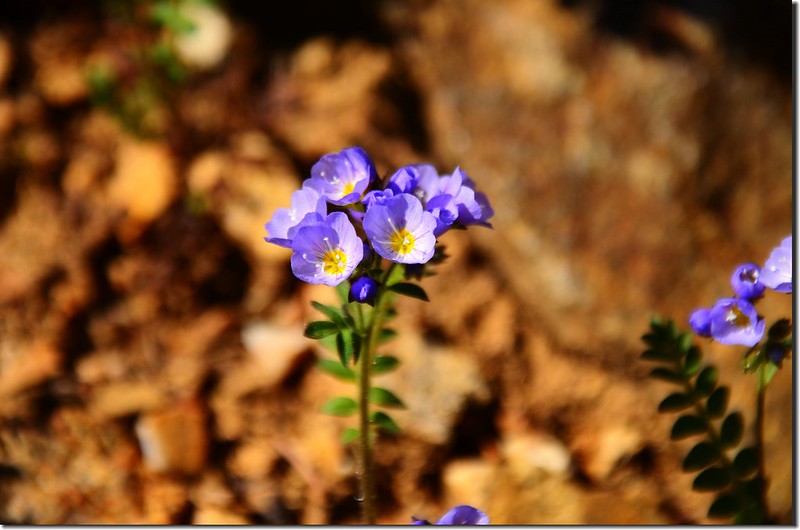
Jacob's Ladder
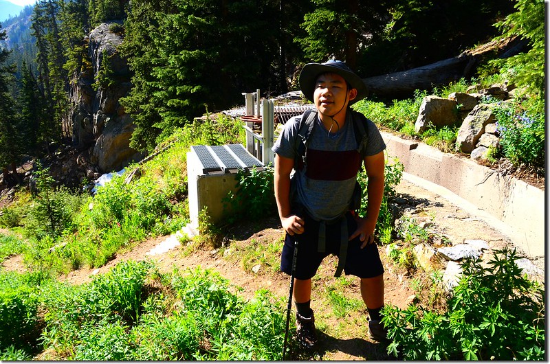
行約0.1哩跨過Berthoud Pass Ditch後路右一處高台有一間小屋及一些應該是氣象或雨量觀測之設施。
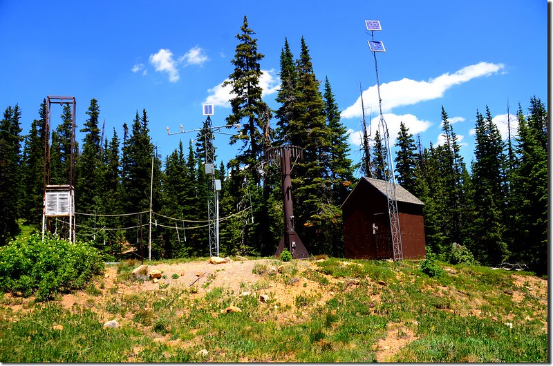
Observational meteorological facility
Colorado Mines Peak from Berthoud Pass Ditch Road
Elephant Head flower
Parry Primrose
Jacob's Ladder
行約0.1哩跨過Berthoud Pass Ditch後路右一處高台有一間小屋及一些應該是氣象或雨量觀測之設施。
Observational meteorological facility
Colorado Mines Peak from Berthoud Pass Ditch Road
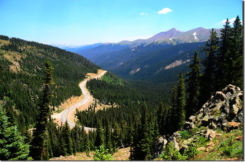
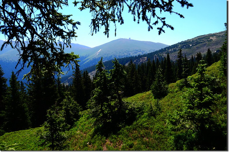
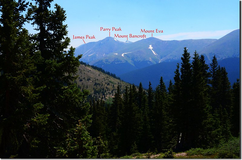
08:34 來到一處道路左彎處,左彎處是一處展望點,可俯瞰U.S. 40公路及東北方James Peak Wilderness area的Mount Eva、Parry Peak等高山,此處距US 40公路登山口約0.3哩,繞過展望點後道路左轉循等高線朝西前進。
The viewpoint at Berthoud Pass Ditch trail
Looking down at US 40 from Berthoud Pass Ditch trail
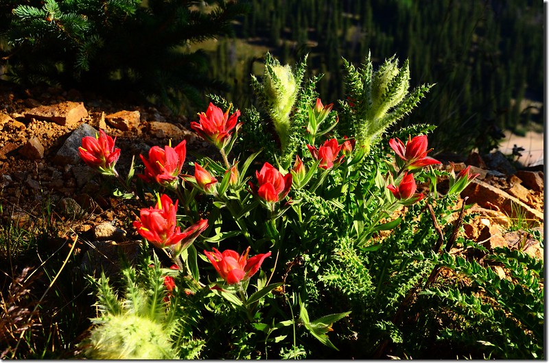
Painbrush flowers & Elk Thistle
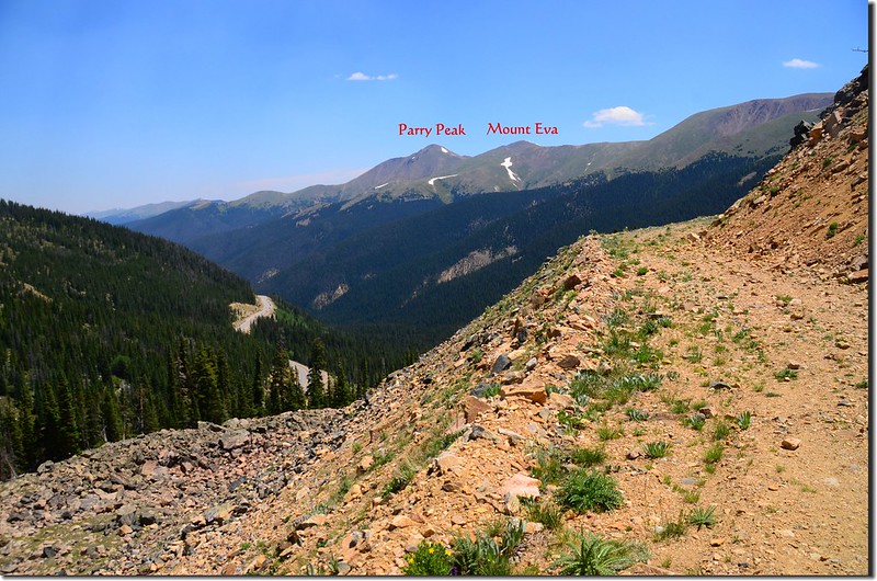
Looking east at James Peak Wilderness from Berthoud Pass Ditch trail
Jacob's Ladder
Globeflower
Elk Thistle
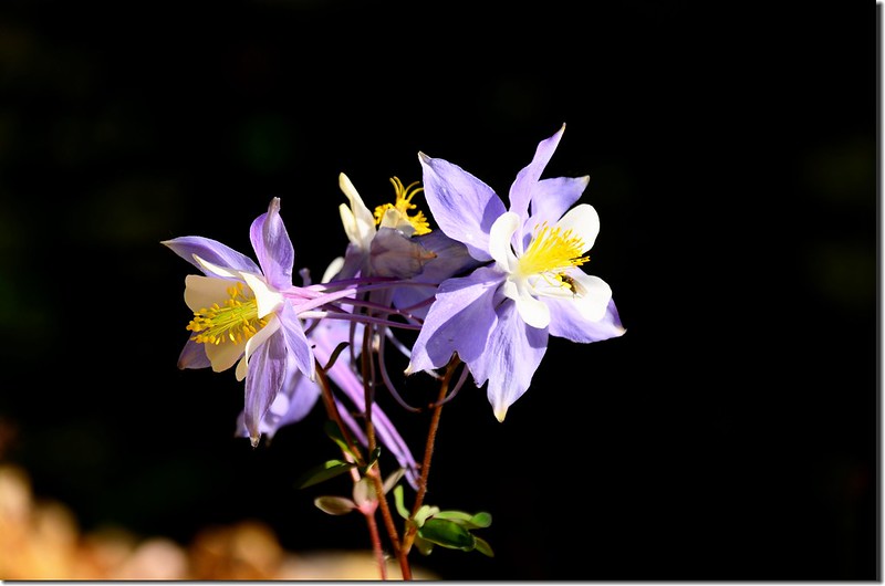
Blue Columbine
Berthoud Pass Ditch Road
The viewpoint at Berthoud Pass Ditch trail
Looking down at US 40 from Berthoud Pass Ditch trail
Painbrush flowers & Elk Thistle
Looking east at James Peak Wilderness from Berthoud Pass Ditch trail
Jacob's Ladder
Globeflower
Elk Thistle
Blue Columbine
Berthoud Pass Ditch Road
09:03 道路下一小段坡後路面變窄,此處距US 40公路登山口約1.0哩,接著是路面鬆散的小段上坡;
Berthoud Pass Ditch Road
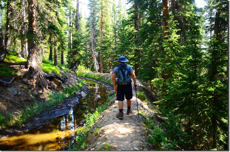
上抵Berthoud Pass Ditch後隨即沿著Berthoud Pass Ditch右岸沿等高線前行。
Berthoud Pass Ditch Road
Berthoud Pass Ditch Road
Berthoud Pass Ditch Road
上抵Berthoud Pass Ditch後隨即沿著Berthoud Pass Ditch右岸沿等高線前行。
Berthoud Pass Ditch Road
Berthoud Pass Ditch Road
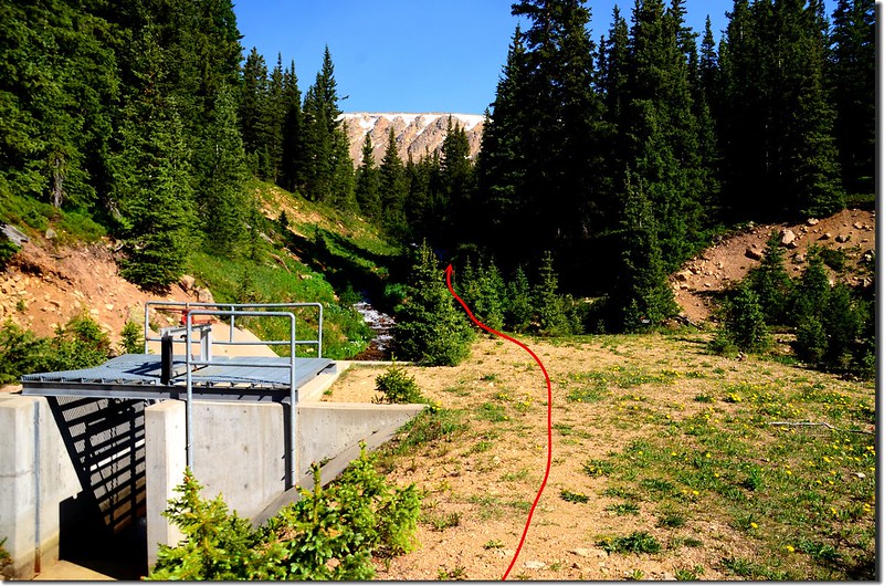
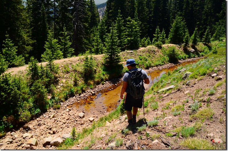
09:15 抵達Current Creek,此處海拔約11,300呎(3,444公尺),距US 40公路登山口約1.2哩;
Berthoud Pass Ditch Road & Current Creek junction
Berthoud Pass Ditch右彎往東北續上,我們取左岔沿著Current Creek右岸不很明顯的小徑往上爬。
Current Creek
Bog(Swamp)Laurel
Berthoud Pass Ditch Road & Current Creek junction
Berthoud Pass Ditch右彎往東北續上,我們取左岔沿著Current Creek右岸不很明顯的小徑往上爬。
Current Creek
Bog(Swamp)Laurel
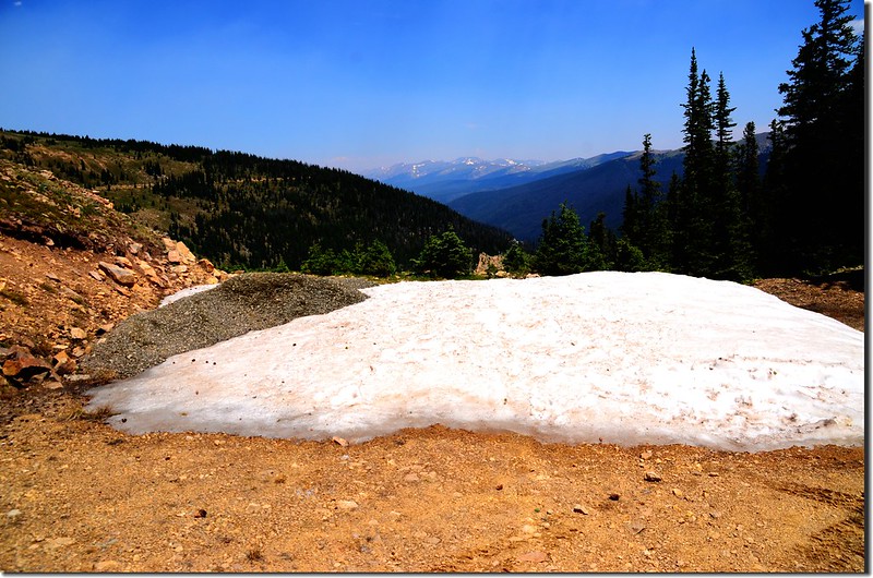
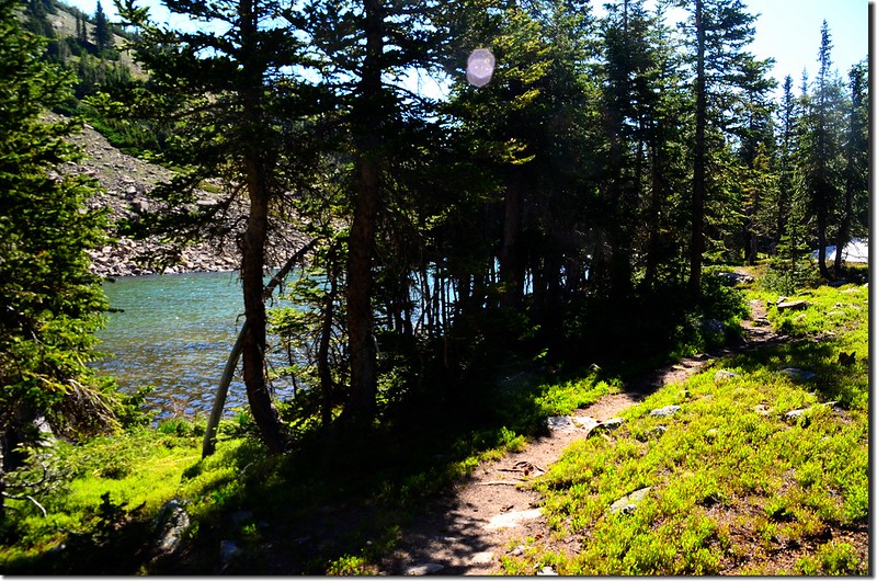
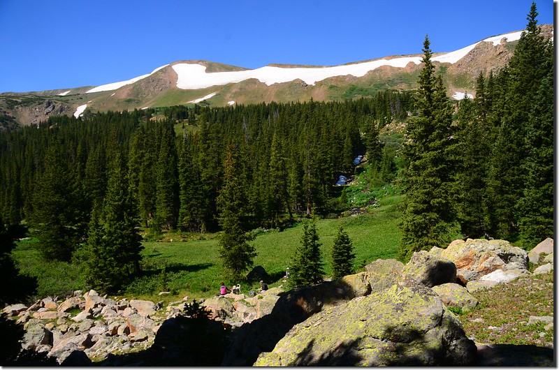
09:30 抵達一處岩石區,Current Creek在此左彎,此小溪的上游是由西南方的小湖流下;我們順著小石頭堆(cairn)穿過岩石區由北端陡上;
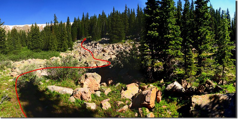
The boulderfield is under the lake
小徑穿過濃密的杉木林上到稜線平坦地後右繞,由沼澤地邊緣通過。

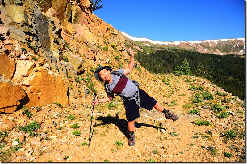
Jacob on his way up to #1 unnamed lake
The wetlands near the lake
The boulderfield is under the lake
小徑穿過濃密的杉木林上到稜線平坦地後右繞,由沼澤地邊緣通過。
Jacob on his way up to #1 unnamed lake
The wetlands near the lake
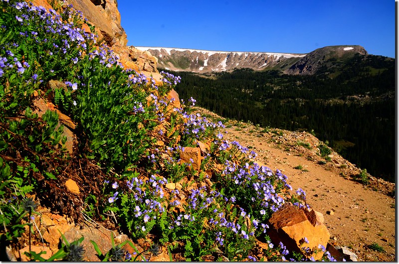
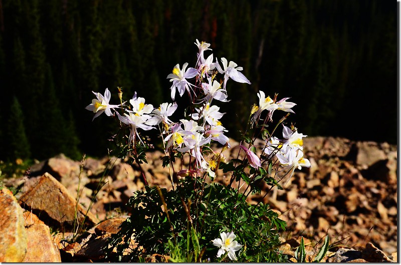
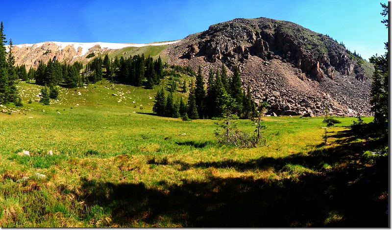
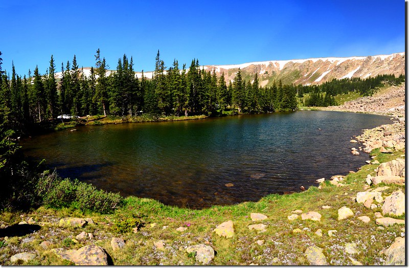
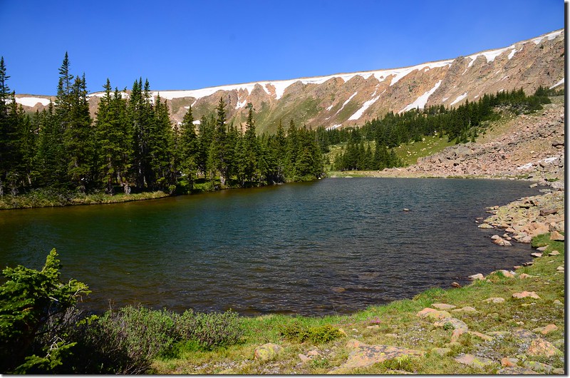
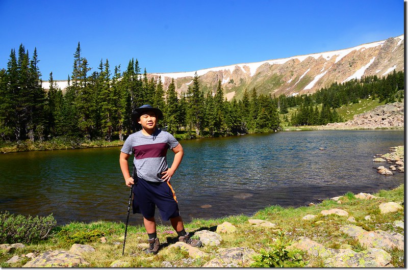
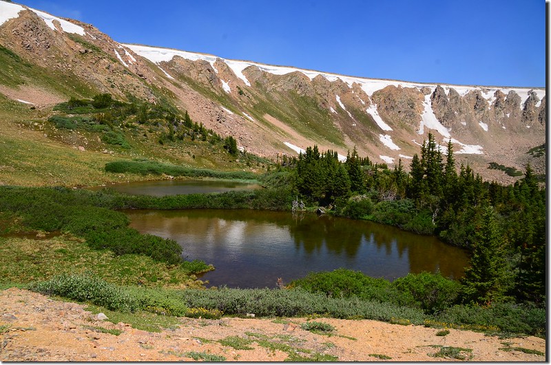
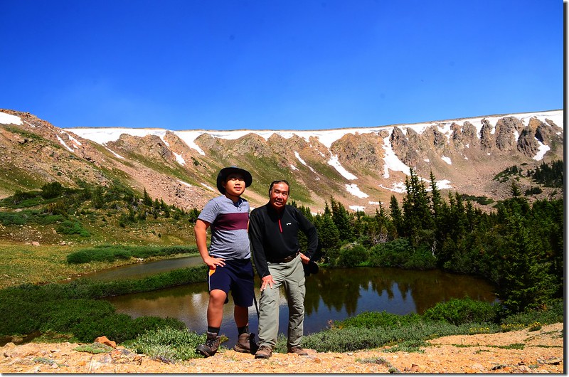
09:45 抵達山頭下的一座無名湖,此處海拔約11,550呎(3,520公尺),湖不是很大,北岸是岩石堆,南岸則是矮杉木林;
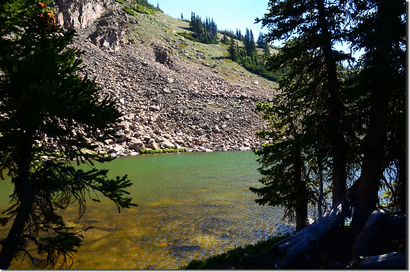
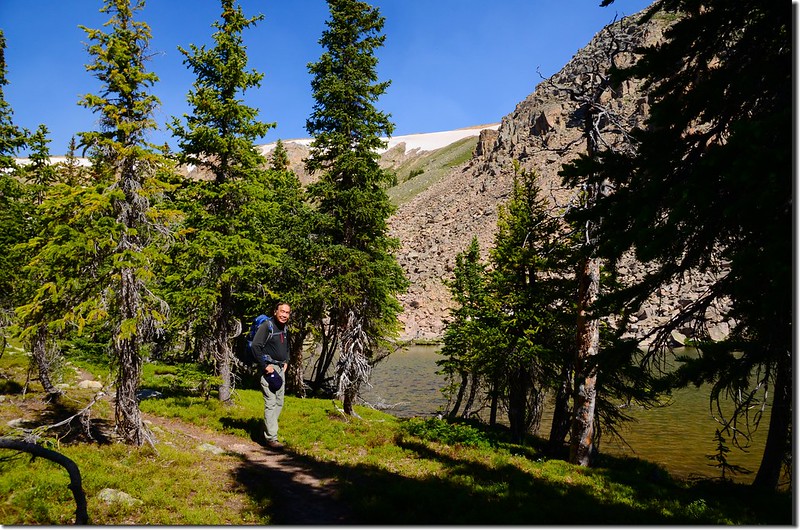
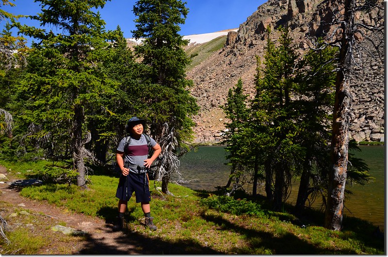
The unnamed lake #1 at the upper reaches of Current Creek
我們繞到東岸休息拍照。
The unnamed lake #1 at the upper reaches of Current Creek
The unnamed lake #1 at the upper reaches of Current Creek
The unnamed lake #1 at the upper reaches of Current Creek
我們繞到東岸休息拍照。
The unnamed lake #1 at the upper reaches of Current Creek
The unnamed lake #1 at the upper reaches of Current Creek
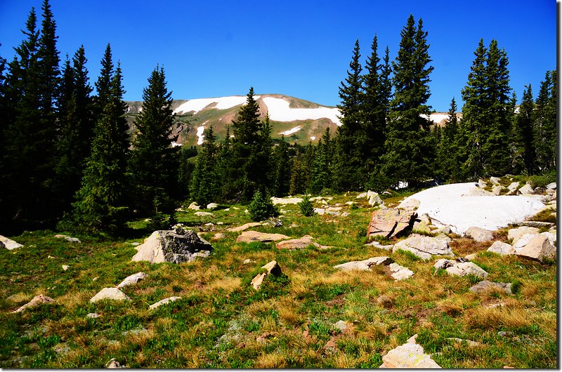
10:10 下山,在此湖的西南方直線距離約2000呎(610公尺)的山腳下另有兩座小湖,Current Creek的源頭即是那兩座相連在一起的小湖,我們決定前往一探,觀察地形後決定先循原路下到岩石區後再決定攀登路線。
10:25 下抵岩石區;
The boulderfield is under the lake
觀察地形後決定越過岩石區然後沿著Current Creek溪邊上山;
Current Creek
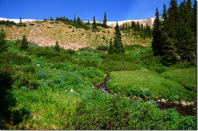
溪邊行約500呎(152公尺)取左切,沿著一條凹谷南行上山。
Looking east at Colorado Mines Peak from unnamed lake #2
Wildfloowers along the trail
The boulderfield is under the lake
觀察地形後決定越過岩石區然後沿著Current Creek溪邊上山;
Current Creek
溪邊行約500呎(152公尺)取左切,沿著一條凹谷南行上山。
Looking east at Colorado Mines Peak from unnamed lake #2
Wildfloowers along the trail
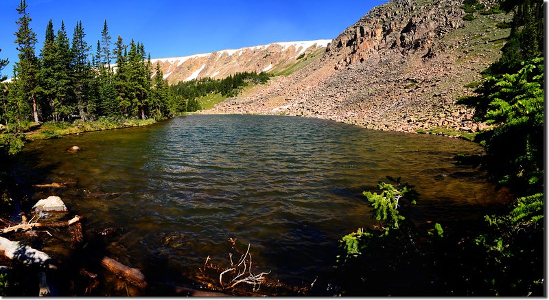
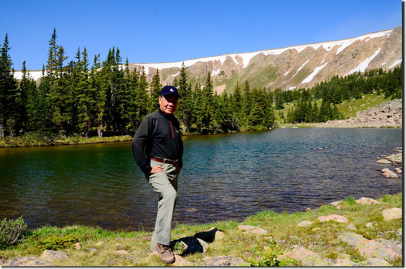
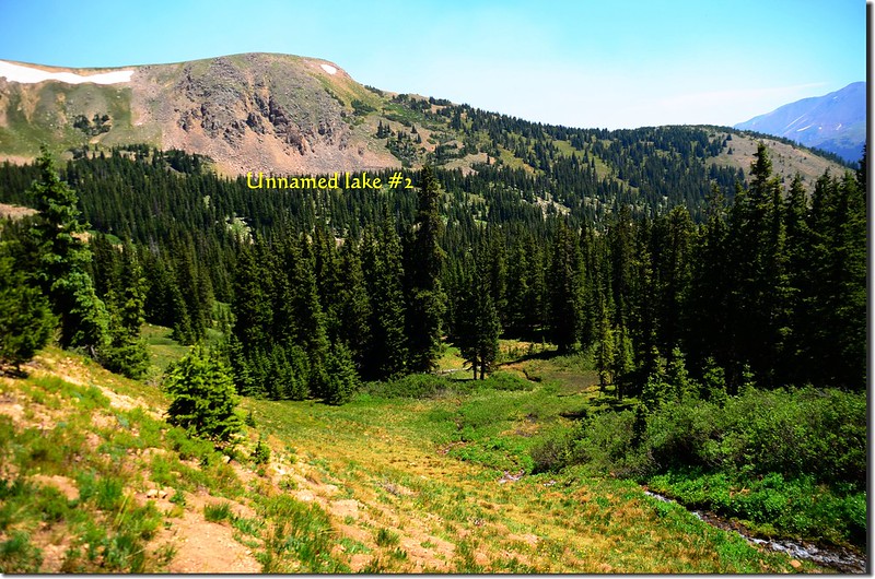
10:52 抵達Current Creek源頭兩座無名小湖,兩小湖僅是一岸之隔;
The unnamed lake that is the source of Current Creek
此處海拔約11,650呎(3,551公尺),我們在岸邊休息用餐。
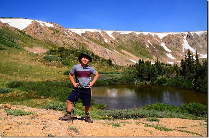
The unnamed lake that is the source of Current Creek
Looking north from the unnamed lake #2
Looking east at James Peak Wilderness from the #2 unnamed lake
The unnamed lake that is the source of Current Creek
此處海拔約11,650呎(3,551公尺),我們在岸邊休息用餐。
The unnamed lake that is the source of Current Creek
Looking north from the unnamed lake #2
Looking east at James Peak Wilderness from the #2 unnamed lake
11:35 下山,下山時不走原路,而是抓準Current Creek和Berthoud Pass Ditch交叉點的方向往東下切,林間坡度不大好走。
11:50 下抵Current Creek和Berthoud Pass Ditch交叉點取右轉沿Berthoud Pass Ditch左岸循上山時原路下山。
Jacob want to cross Berthoud Pass Ditch
Jacob want to cross Berthoud Pass Ditch
12:28 回到US 40公路登山口,再沿US 40回到停車處後開車返家。
沒有留言:
張貼留言