Shelf Lake
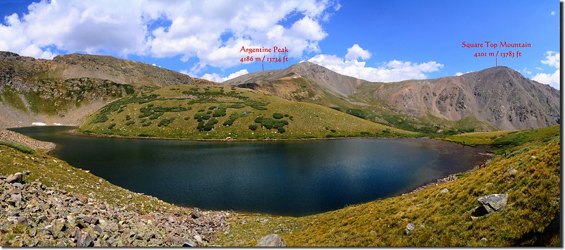
丹佛地區華人登山隊相約於上週六(4)前去攀登Guanella Pass附近高山湖泊Shelf Lake,Shelf Lake位在Argentine Peak (13,734 ft/4,186 m)西南稜約2.1哩另一座高山Decatur Mountain (12,890 ft / 3,929 m)的東面山腳下,也就是介於Decatur Mountain和Square Top Mountain (13,783 ft/4,201 m)之間的Smelter Gulch頂端,此湖之所以名為Shelf Lake可能是因其位在Decatur Mountain山腳下,而湖的位置正是山谷盡頭一突出的高處岩架上,所以以其所處位置地形命名之,湖的位置大約在Guanella Pass西邊四哩處。
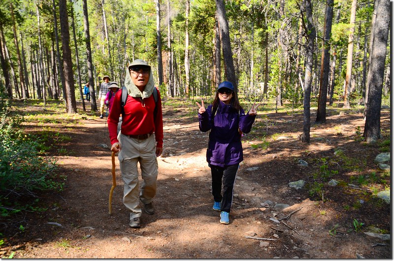
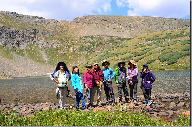
當天參加人員有11人,除了住Aurora的徐先生自行開車前往外,我們從Golden分乘兩部高底盤四傳車前往登山口。
~~~~~~~~~~~~~~~~~~~~~~~~~~~~~~~~~~~~~~~~~~~~~~~~~~~~~~~~~~~
攀登湖泊:Shelf Lake(海拔12,010呎/3,661公尺)
登山口:Shelf Lake Trailhead(海拔10,080呎/3,072公尺)
登山里程:來回約7.5哩(12公里)
總爬升高度:約2,076呎(633公尺)
登山時間:5小時28分
~~~~~~~~~~~~~~~~~~~~~~~~~~~~~~~~~~~~~~~~~~~~~~~~~~~~~~~~~~~
行車資訊:
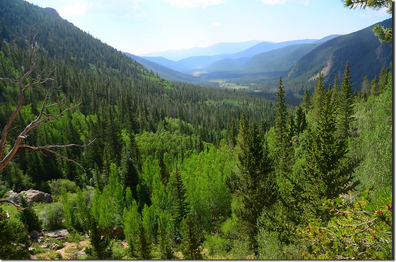
由Golden沿CO-470南下,在Exit 5A下交流道轉US-285朝Fairplay西南行,行約39.4哩於小鎮Grant右轉Guanella Pass Rd西北行,再行約6.8哩遇左岔路“Duck Creek/Fsr-119”取左行,行約0.2哩路右為Duck Creek Picnic Area,過此之後道路為難走之土石路面,非高底盤四傳車勿輕易進入,Duck Creek/Fsr-119行不久轉為Co Rd 1038續行,計行約3.0哩抵路右Shelf Lake Trailhead停車場停車。
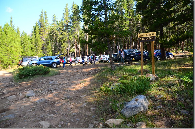
Shelf Lake Trailhead Parking lot
Shelf Lake Trailhead Parking lot
步程簡述:
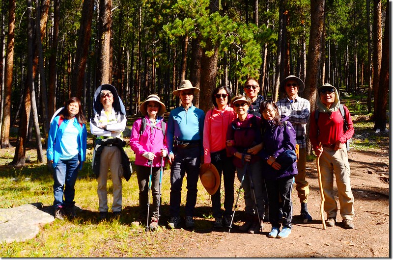
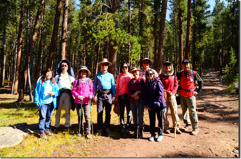
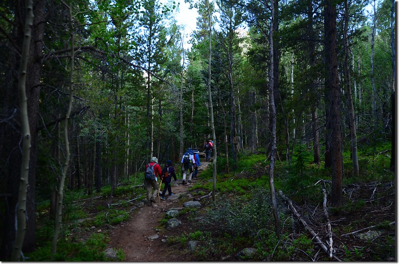
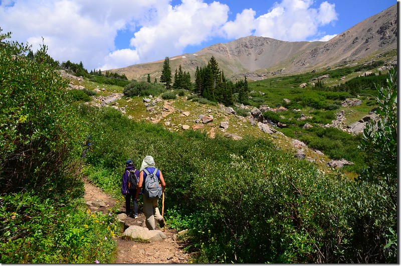
09:40 登山口出發,海拔約10,080呎/3,072公尺。
Taken from Shelf Lake Trailhead
Shelf Lake Trail
Taken from Shelf Lake Trailhead
Shelf Lake Trail
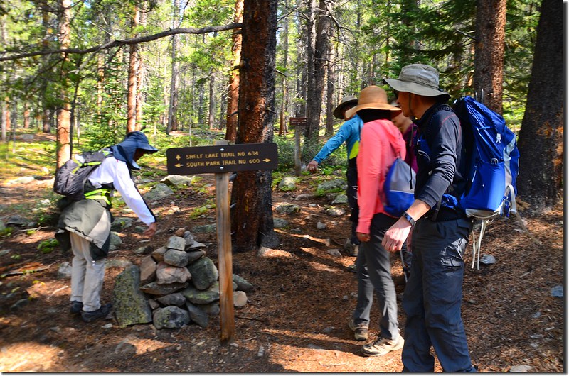
09:46 行不遠即抵達Shelf Lake Trail和South Park Trail的岔路,取左岔Shelf Lake Trail朝西北行。
Shelf Lake Trail & South Park Trail junction
Shelf Lake Trail & South Park Trail junction
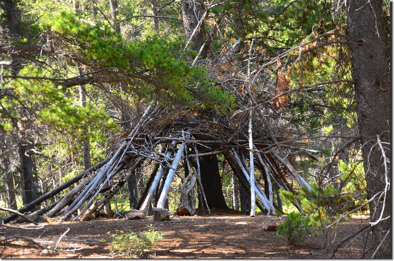
09:52 步道左側松林中有一座以松樹枯木架成類似印地安圓錐形帳蓬(Tepee)的建物,可能是可做為臨時避難處。
Amazing shelters along the trail
Amazing shelters along the trail
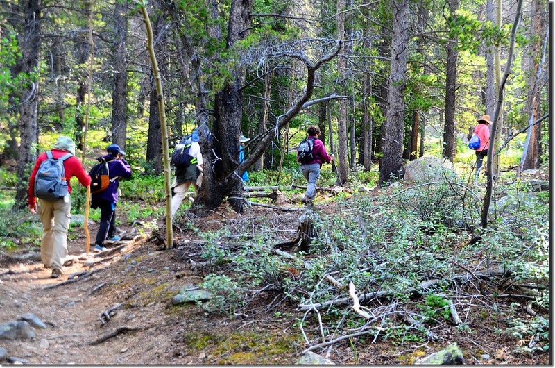
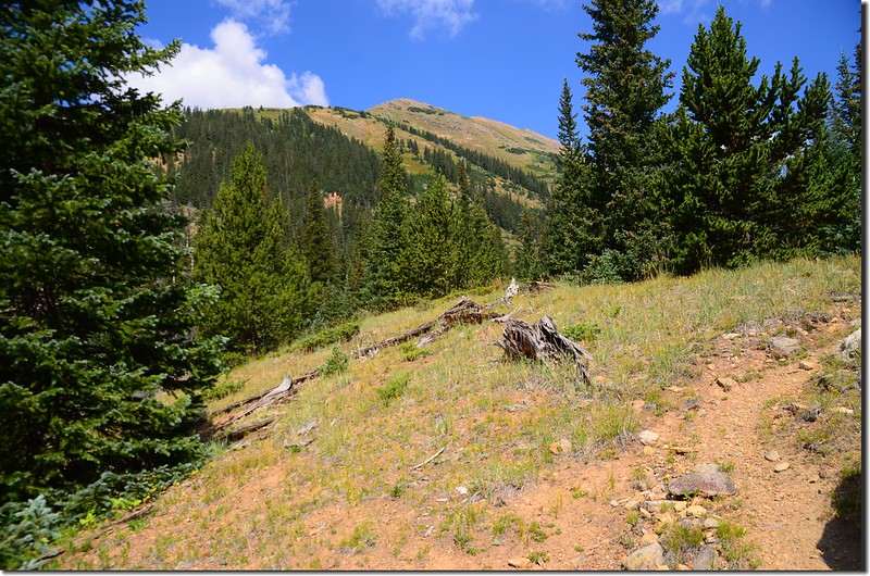
10:00 步道開始“之”字形盤升,此處海拔約10,222呎/3,116公尺,距登山口約0.6哩。
Shelf Lake Trail
Shelf Lake Trail
10:05 步道旁出現較多的白楊木(aspen)。
Shelf Lake Trail
Shelf Lake Trail
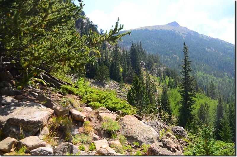
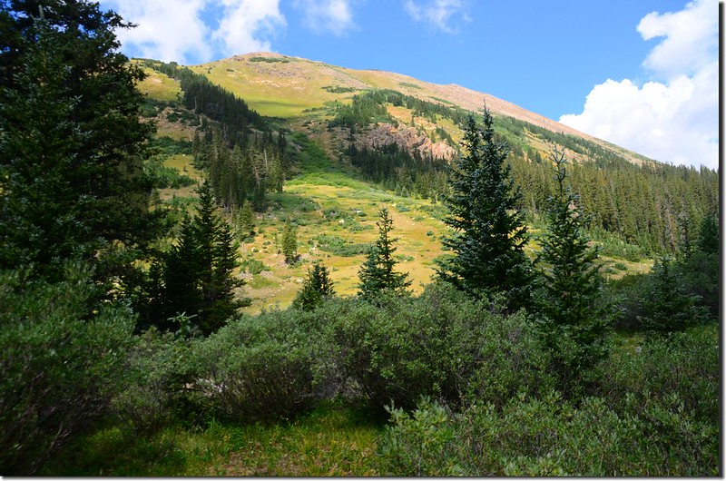
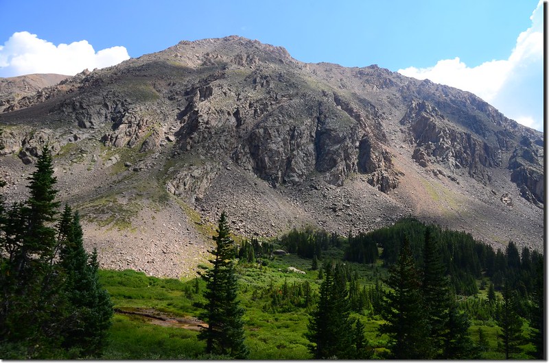
10:16 抵一處空曠地,看見Square Top Mountain南稜一座小山頭,此處海拔約10,555呎/3,217公尺,距登山口約1.1哩。
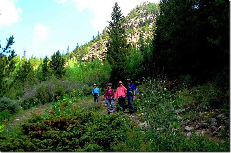
Shelf Lake Trail
Mountain view from Shelf Lake Trail
Shelf Lake Trail
Mountain view from Shelf Lake Trail
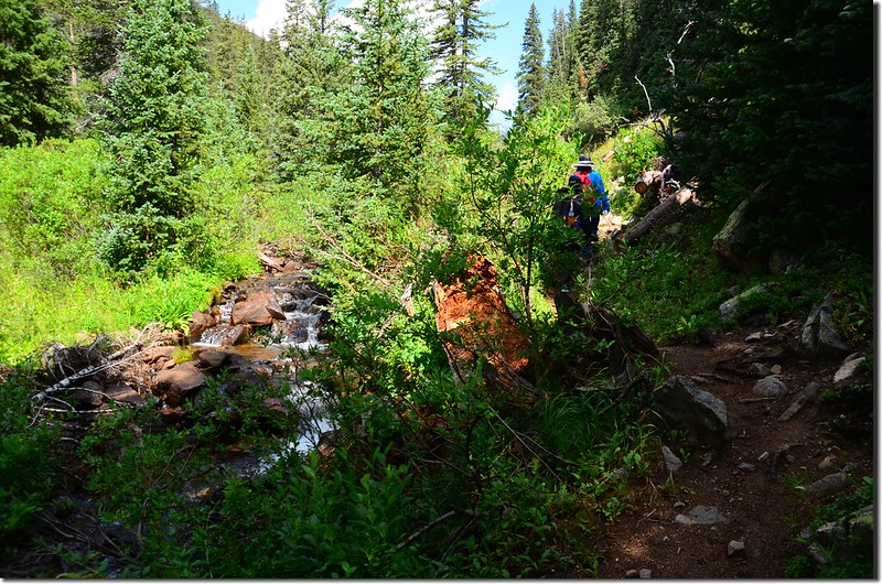
10:19 過第一條小溪,此處海拔約10,593呎/3,229公尺,距登山口約1.2哩。
Crossing the creek
Crossing the creek
10:21 過第二條小溪,此處距第一條小溪約200呎。
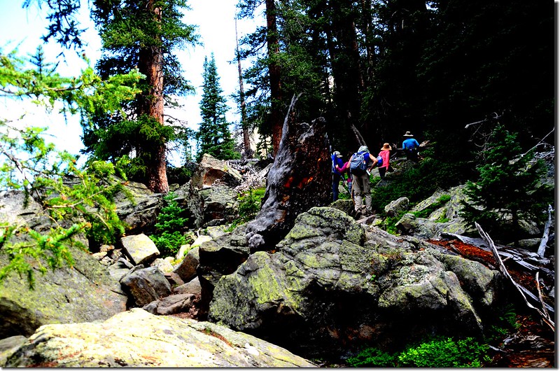
10:24 抵達一處岩石陡坡,陡坡小石礫有點鬆散,下山時宜加小心避免滑倒;
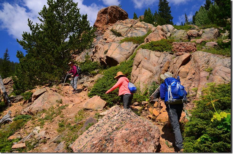
Shelf Lake Trail
上到陡坡中途回望東南方剛才進來的Kirby Gulch,此處海拔約10,700呎/3,261公尺,距登山口約1.3哩。
Looking down at Kirby Ggulch from the trail
Shelf Lake Trail
上到陡坡中途回望東南方剛才進來的Kirby Gulch,此處海拔約10,700呎/3,261公尺,距登山口約1.3哩。
Looking down at Kirby Ggulch from the trail
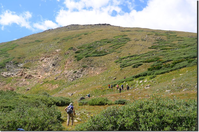
10:35 上到陡坡頂端後步道又趨緩,沿著Square Top Mountain南稜下山谷西北行。
10:39 在一岩石坡面東望Square Top Mountain南稜,一形似乳形峰的山頭很突出;此處海拔約10,852呎/3,308公尺,距登山口約1.4哩。
Shelf Lake Trail
Shelf Lake Trail
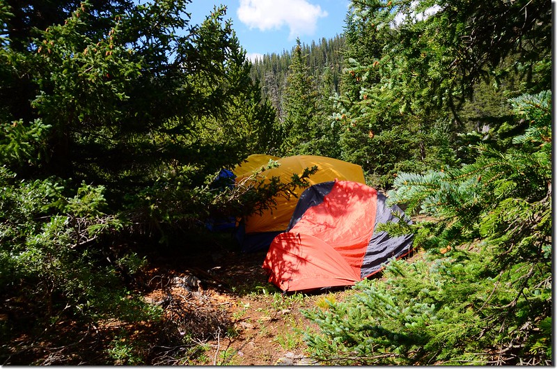
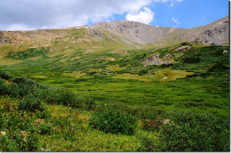
10:44 登山一寬闊平台,西北遙望 Decatur Mountain西南稜山頭,此處海拔約10,894呎/3,320公尺,距登山口約1.5哩;
Looking west at Decatur Mountain's southwest ridge from Shelf Lake Trail
之後進入松林間穿梭,不時見到露營營帳。
Looking west at Decatur Mountain's southwest ridge from Shelf Lake Trail
之後進入松林間穿梭,不時見到露營營帳。
10:47 步道左側一大片大岩塊坡,海拔約11,045呎/3,367公尺,距登山口約1.7哩;由大岩塊坡右側上攀。
Boulder field along Shelf Lake Trail
Looking west at Decatur Mountain's southwest ridge from Shelf Lake Trail
Boulder field along Shelf Lake Trail
Looking west at Decatur Mountain's southwest ridge from Shelf Lake Trail
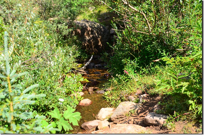
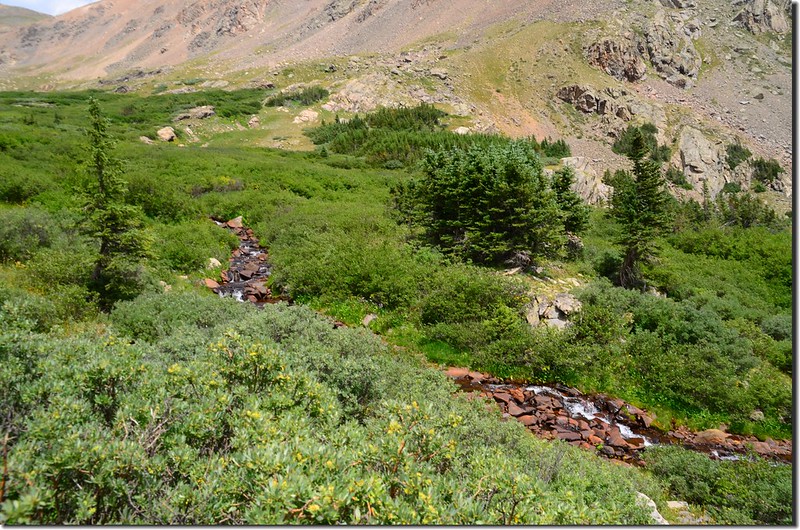
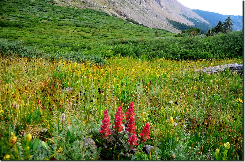
10:59 第三度過一小溪流續行。左側Smelter Gulch小溪傳來潺潺流水聲,小溪兩岸沼澤地野花盛開。
Shelf Lake Trail
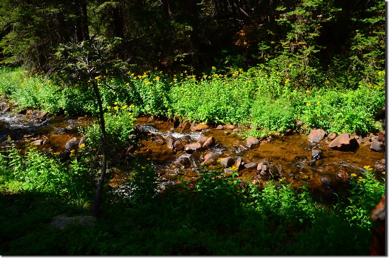
Wildfloowers are full blooming along the trail
Shelf Lake Trail
Wildfloowers are full blooming along the trail
11:12 第四度過小溪。
11:25 由幾根枯木及小溪上石頭橫跨過Shelf Lake出水口的小溪,海拔約11,324呎/3,452公尺,距登山口約2.6哩;
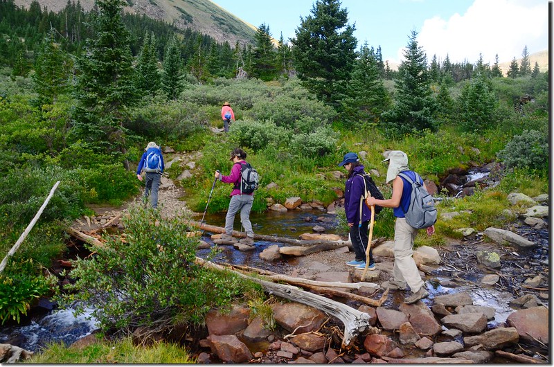
Crossing the Creek on a makeshift bridge & hopping on the rocks
Cascade on the Smelter Gulch creek
Crossing the Creek on a makeshift bridge & hopping on the rocks
Cascade on the Smelter Gulch creek
步道跨過Shelf Lake出水口的小溪後步道轉到Decatur Mountain西南稜的東北面山腳下朝西北緩升,此時步道兩旁是北美所謂的willow(柳樹)矮樹叢,此willow(柳樹)是moose最喜愛的食物,步道近期應是剛整理過,兩旁的willow有修剪過的痕跡,行沒多久即出了森林線。
Shelf Lake
Shelf Lake
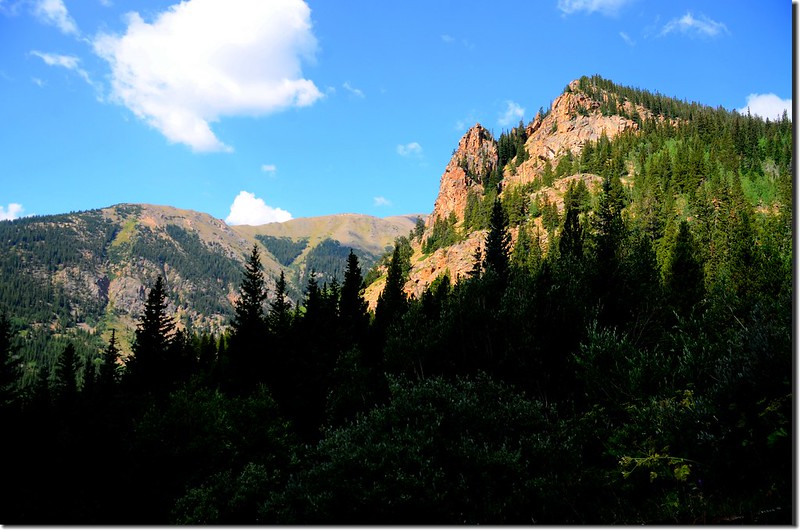
步道前(北)方錐形山頭是Argentine Peak南稜的13,500’山頭;
Looking north at point 13,500' from Shelf Lake trail
右側猙獰山頭則是海拔13,794呎的Square Top Mountain;
Looking east at Square Top Mountain from Shelf Lake trail
右側下方則是Smelter Gulch沼澤區。
Looking down at Smelter Gulch drainage from the trail
Looking north at point 13,500' from Shelf Lake trail
右側猙獰山頭則是海拔13,794呎的Square Top Mountain;
Looking east at Square Top Mountain from Shelf Lake trail
右側下方則是Smelter Gulch沼澤區。
Looking down at Smelter Gulch drainage from the trail
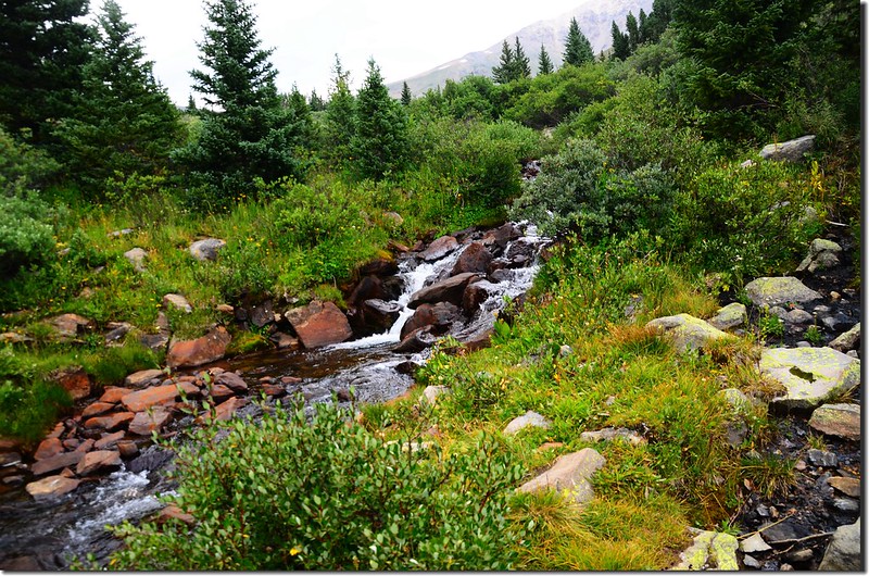
11:40 抵一處較陡的開闊岩石坡,右側Smelter Gulch小溪有一處小流瀑;
Shelf Lake
Looking down Smelter Gulch cascade from the trail near 11,480'
此處海拔約11,480呎/3,499公尺,距登山口約2.9哩,回頭俯瞰寬闊的Smelter Gulch沼澤區,沼澤區有幾處小塘散佈在willow(柳樹)矮樹叢間;
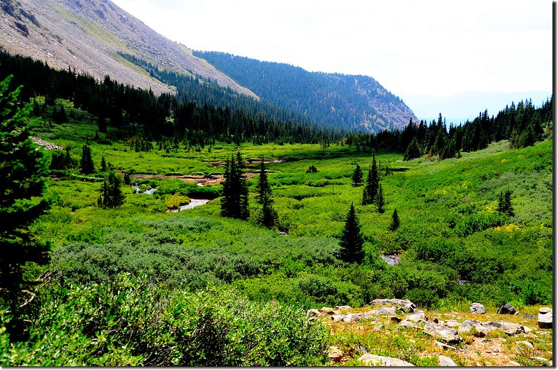
Looking back on Smelter Gulch drainage from the trail near 11,480'
Shelf Lake
Looking down Smelter Gulch cascade from the trail near 11,480'
此處海拔約11,480呎/3,499公尺,距登山口約2.9哩,回頭俯瞰寬闊的Smelter Gulch沼澤區,沼澤區有幾處小塘散佈在willow(柳樹)矮樹叢間;
Looking back on Smelter Gulch drainage from the trail near 11,480'
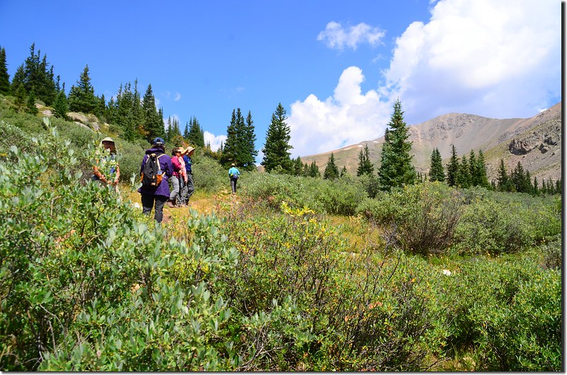
過了岩石坡高點後步道續在Decatur Mountain西南稜的東北面山腳下朝西北緩升,步道兩旁是較多的岩石坡,兩旁的野花也比前段多得多了。
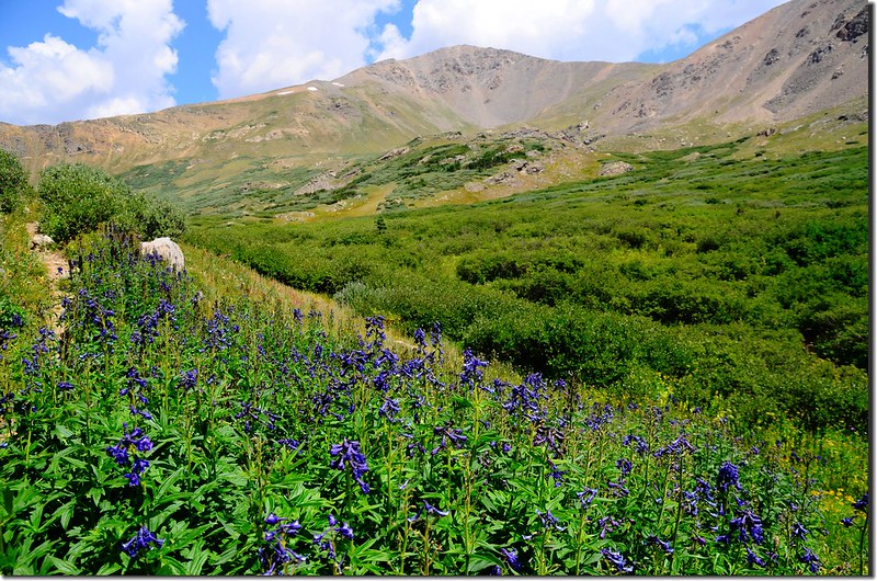
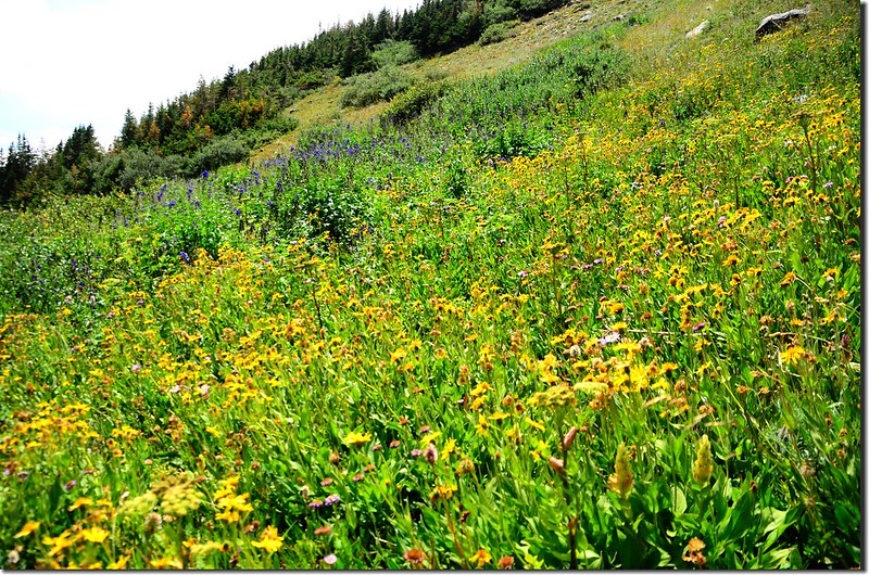
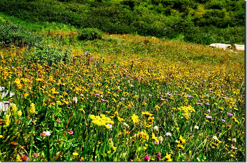
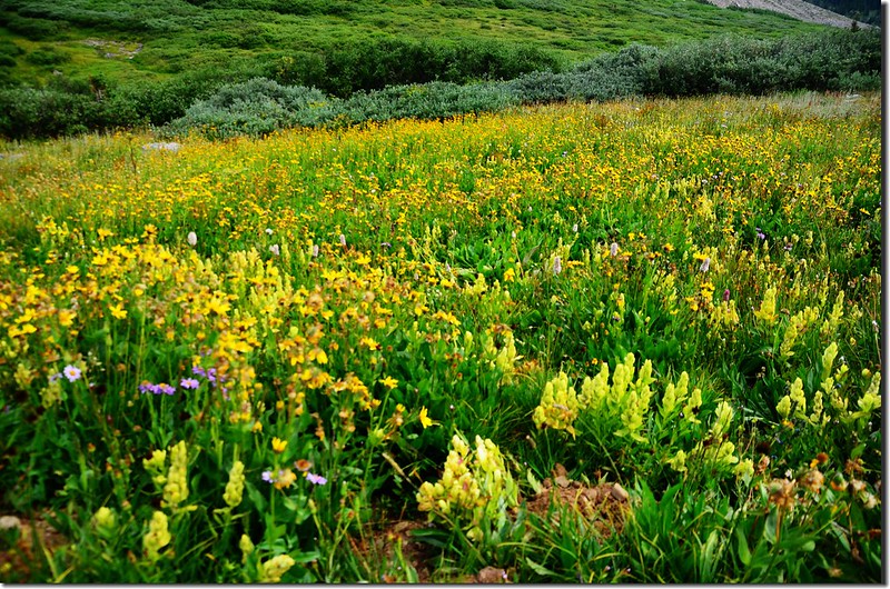
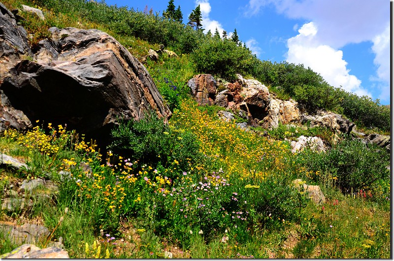
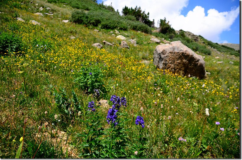
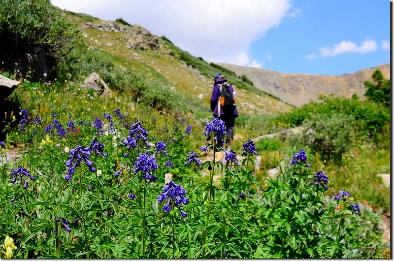
Wildfloowers are full blooming along the trail
Wildfloowers are full blooming along the trail
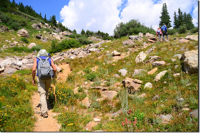
12:00 步道取左往上盤升,此處海拔約11,716呎/3,571公尺,距登山口約3.3哩,此段路是此步道最陡的一段路。
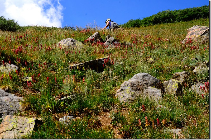
Shelf Lake Trail
Shelf Lake Trail
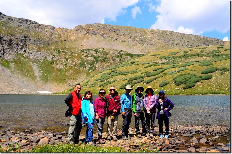
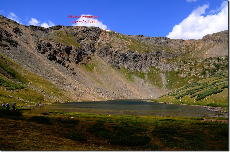
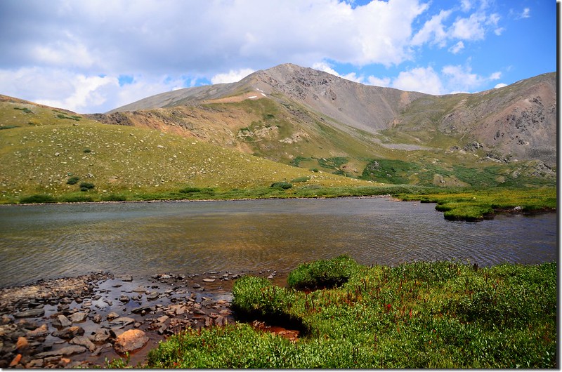
12:18 登上Shelf Lake東邊岩石堤岸,海拔12,010呎/3,661公尺,距登山口約3.6哩;
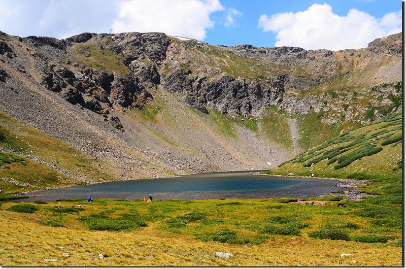
Shelf Lake, background is Decatur Mountain
Taken from Shelf Lake
此湖之所以名為Shelf Lake可能是因其位在海拔12,890呎的Decatur Mountain山腳下,而湖的位置正是山谷盡頭一突出的高處岩架上,所以以其所處位置地形命名之,在Rocky Mountain National Park裡也有一座Shelf Lake,地形完全相同!
Shelf Lake
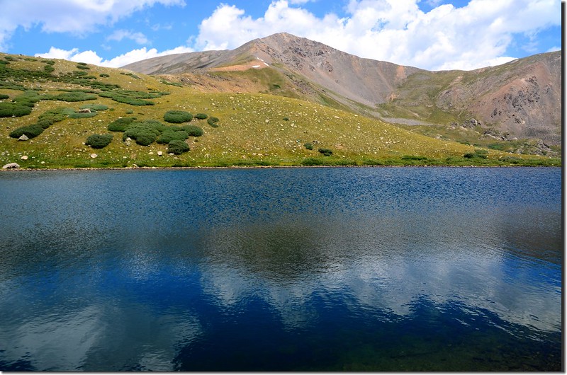
Shelf Lake, background are Argentine Peak & point 13,500’
Shelf Lake, background is Square Top Mountain
Shelf Lake, background is Decatur Mountain
Taken from Shelf Lake
此湖之所以名為Shelf Lake可能是因其位在海拔12,890呎的Decatur Mountain山腳下,而湖的位置正是山谷盡頭一突出的高處岩架上,所以以其所處位置地形命名之,在Rocky Mountain National Park裡也有一座Shelf Lake,地形完全相同!
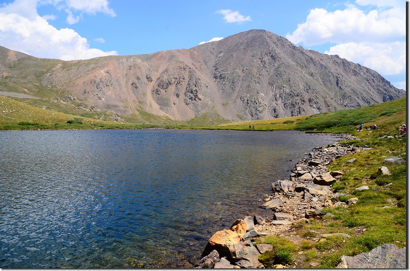
Shelf Lake
Shelf Lake, background are Argentine Peak & point 13,500’
Shelf Lake, background is Square Top Mountain
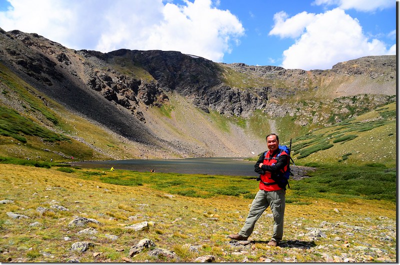
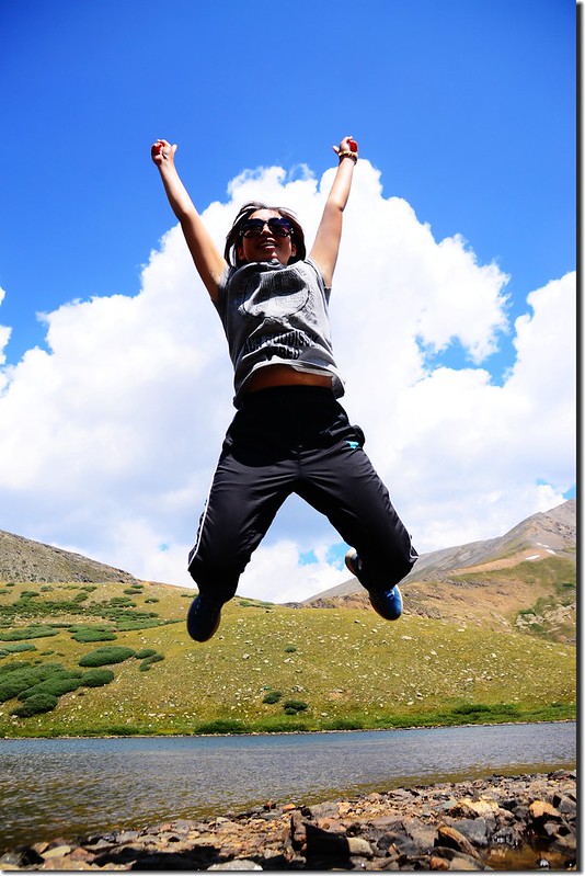
我們在湖邊休息、用中餐約50分鐘後才下山。
Shelf Lake
Shelf Lake
13:08 循原路下山。
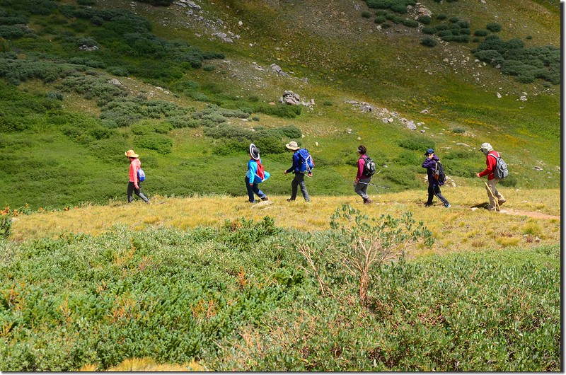
Down from Shelf Lake
Down from Shelf Lake
15:08 返回登山口,稍事整裝後開車返家。
沒有留言:
張貼留言