Broome Hut, Colorado
Current Lake位在US 40公路往Winter Park途中公路最高點Berthoud Pass西北方的山上,有一條Berthoud Pass Ditch Road可抵達湖的下方,地圖上該稜線下有三座湖,上方一座湖面積較大,左下方另有兩座較小的湖僅是一岸之隔相連在一起,這三座小湖地圖上均無名字,但因位在Current Creek的源頭,所以暫稱為Current Lake;通往該三小湖有兩個登山口,第一登山口位在US 40公路最高點Berthoud Pass (US 40哩程243 mile)再往北下行0.3哩的道路西側”Berthoud Pass Ditch Road”岔路口,約在US 40哩程242.7 mile處;第二登山口位在第一登山口再往北下行1.6哩的US 40哩程241.1 mile,此處是Current Creek Trail登山口。
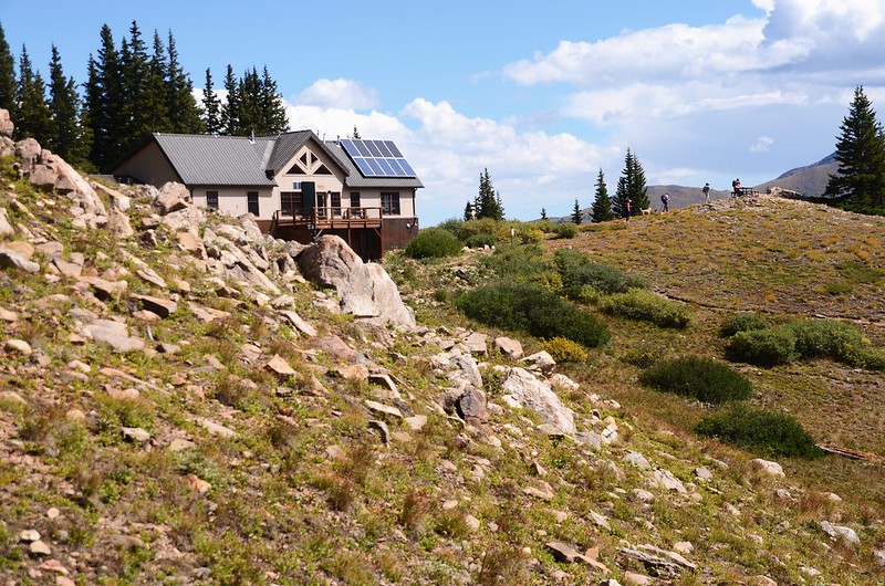
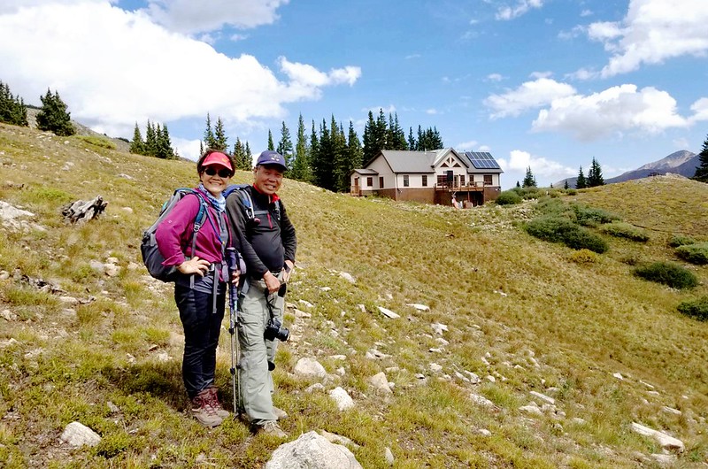
Broome Hut則是位於Berthoud Pass以西一英里半處的11,350英尺的陡峭山頂上,屬於Grand Huts Association所擁有和經營,原名為Second Creek Hut,是科羅拉多州最好的高海拔滑雪和徒步旅行地點之一,一年四季提供戶外活動者住宿之用,由於輕鬆的登山步道和極佳的滑雪設施為遊客提供絕佳的野外休閒娛樂機會。
通往Broome Hut的Second Creek Trailhead 距離Berthoud Pass有3哩(約在US 40哩程240 mile處),小屋本身距離登山口約1.0哩,爬升約800呎。
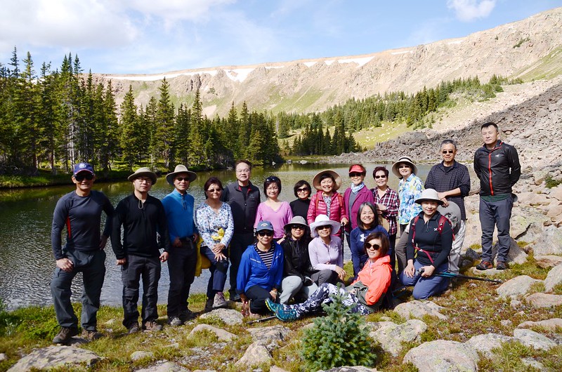
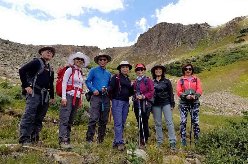
前幾天(9/8)華人登山隊前往該處登山,本來打算先由Current Creek Trailhead沿Current Creek Trail登Current Lake後再開車到Second Creek Trailhead沿Second Creek Trail登Broome Hut,後來我發現從Current Lake下方有一條Berthoud Pass Ditch可以直通Broome Hut,只是查不到該路線的登山紀錄,為了解該路線的路況特地在上週四(9/5)前往探勘發覺可行,所以此次登山我們是採取兩點連走的“O”形環走,一切順利。
---------------------------------------------------------------------------------------------------
Current Lake:海拔11,509呎/3,508公尺
Broome Hut:海拔11,371呎/3,466公尺
登山口:Current Creek Trailhead (海拔10,699呎/3,261公尺)
登山里程:7.33哩/11.8公里
總爬升高度:1,073呎/327公尺
登山時間:5小時13分
---------------------------------------------------------------------------------------------------
行車資訊:
由Golden開車沿I-70西行,行至I-70里程232哩時由Exit-232下交流道,然後右轉沿U.S. 40 西行,行約14.5哩抵達道路最高點大陸分水嶺 Berthoud Pass (US 40哩程243 mile);過Berthoud Pass後道路開始下坡,行約1.9哩在道路左側有一土石地面停車空間 (US 40哩程241.1 mile),此為Current Creek Trail登山口停車場。
步程簡述:
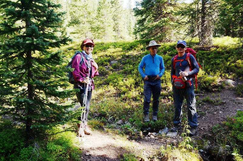
09:10 登山口起登,海拔10,696呎/3,260公尺,由Current Creek 的右岸明顯小徑穿過杉林上行。
Current Creek Trailhead
Current Creek Trail, Colorado
Current Creek Trailhead
Current Creek Trail, Colorado
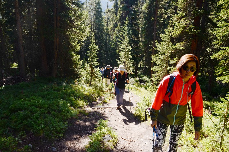
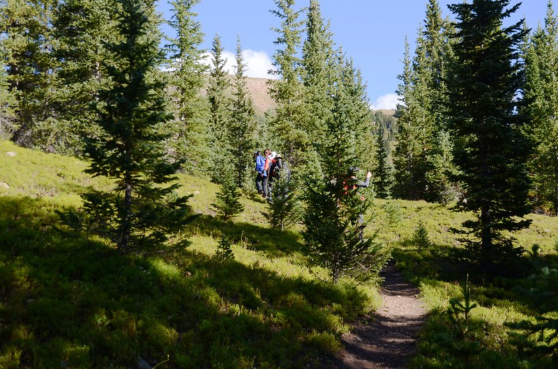
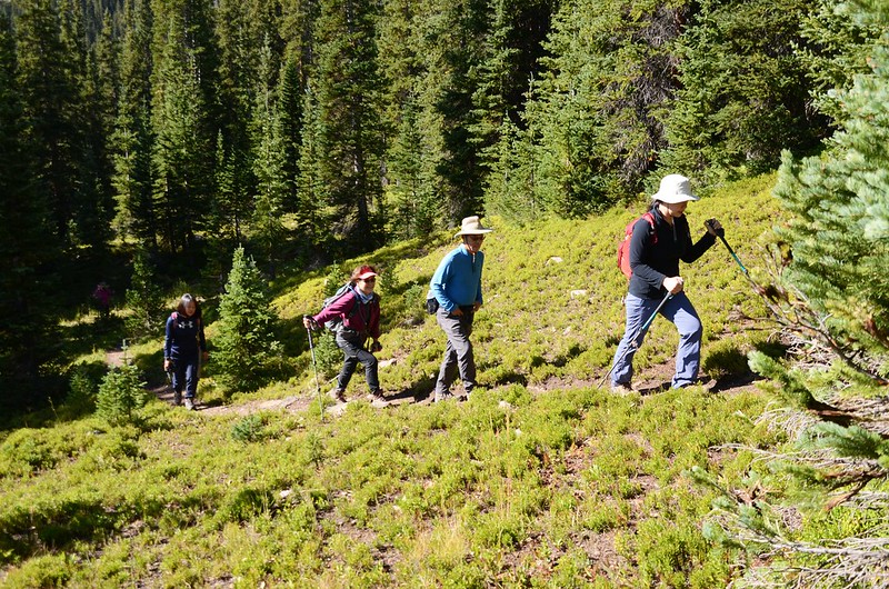
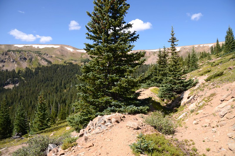
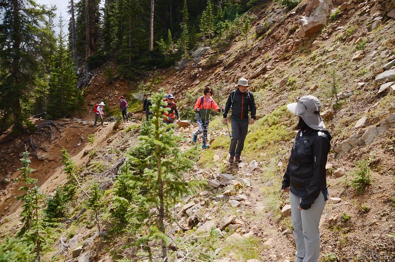
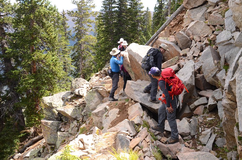
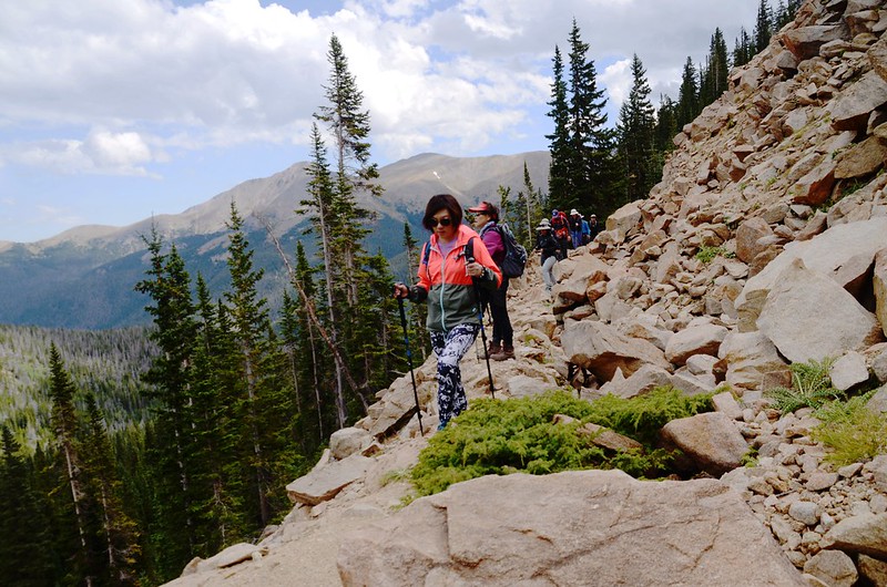
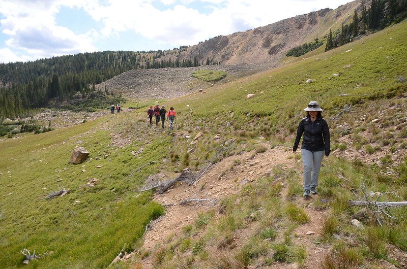
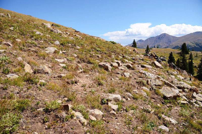
Current Creek Trail坡度不大,一路有不少小岔路,但只要記得沿著Current Creek右岸上行就對了,步道還算好走,而且一路幾乎穿行於森林之中,走來非常舒服。
Current Creek Trail, Colorado
Current Creek Trail, Colorado
09:23 跨過一條小溪澗後續上行。
09:39 遇岔路取左上行,海拔11,082呎/3,378公尺,距登山口約0.58哩/0.93公里。
Current Creek Trail, Colorado
Current Creek Trail, Colorado
Current Creek Trail, Colorado
Current Creek Trail, Colorado
09:58 接到Berthoud Pass Ditch ,海拔11,283呎/3,439公尺,距登山口約0.87哩/1.4公里;
Current Creek Trail & Berthoud Pass Ditch junction
此溝渠右往溝渠源頭first & second Creek、Broome Hut,左往Berthoud Pass;我們在此等候後面的山友到期後先取左行往Current Lake。
Current Creek Trail & Berthoud Pass Ditch junction
此溝渠右往溝渠源頭first & second Creek、Broome Hut,左往Berthoud Pass;我們在此等候後面的山友到期後先取左行往Current Lake。
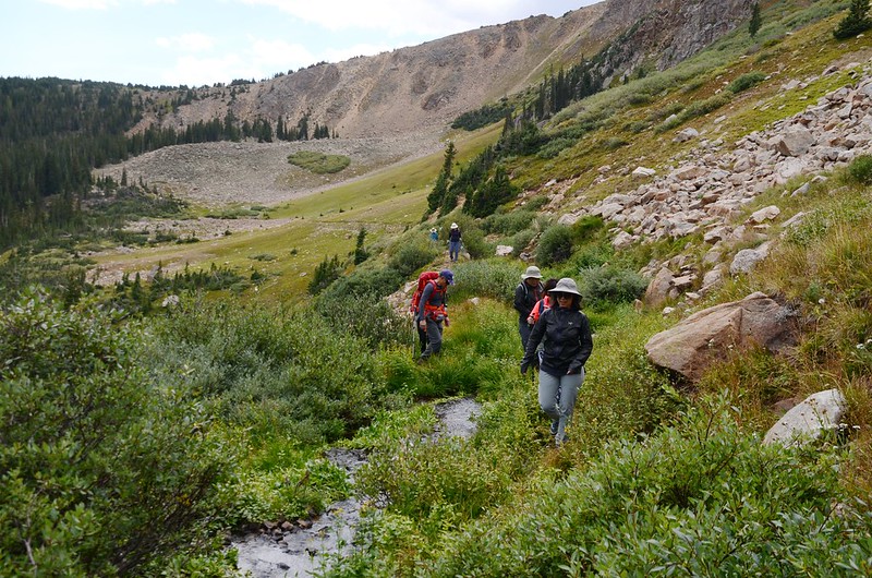
10:06 抵達Current Creek,此處海拔約11,296呎(3,443公尺),距登山口約0.9哩/1.5公里;此處為Current Lake上切點,Berthoud Pass Ditch左彎往南直抵Berthoud Pass,我們在此取右岔沿著Current Creek右岸不很明顯的小徑往上爬。

Current Lake Trail & Berthoud Pass Ditch junction
Current Lake Trail & Berthoud Pass Ditch junction
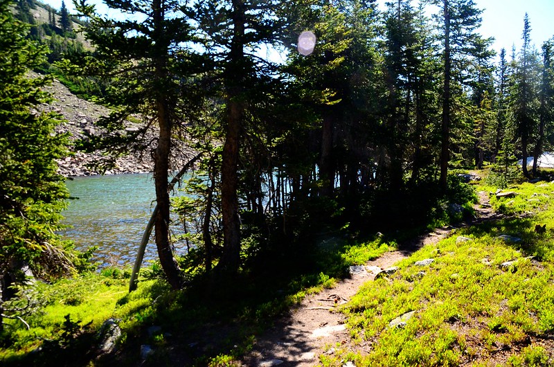
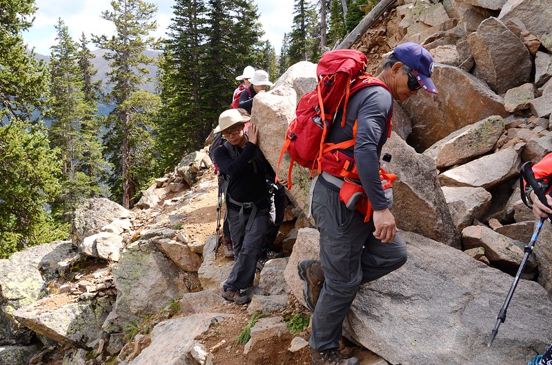
10:13 抵達一處岩石區,Current Creek在此左彎,此小溪的上游是由西南方的小湖流下,此處海拔約11,381呎(3,469公尺),距登山口約1.18哩/1.9公里;我們順著小石頭堆(cairn)穿過岩石區由北端陡上。


Current Creek Trail, Colorado
Current Creek Trail, Colorado
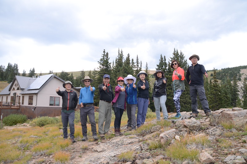
10:30 抵達山頭下的一座無名湖,暫以Current Lake稱之,此處海拔約11,509呎(3,508公尺),湖不是很大,北岸是岩石堆,南岸則是矮杉木林;我們沿著南岸繞到湖的東北角一處開闊地休息拍照。


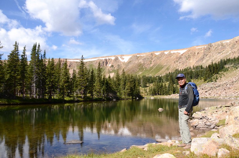

Current Lake, Colorado
Current Lake, Colorado
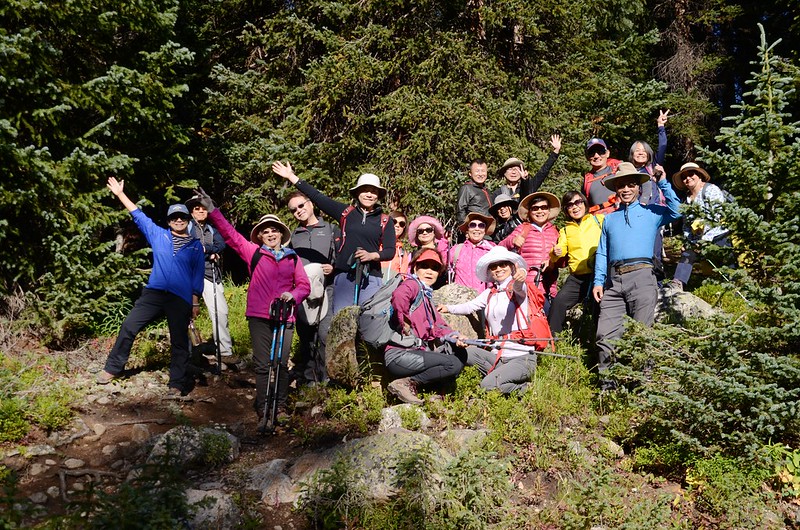
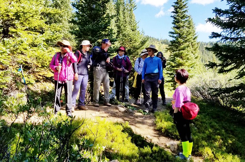
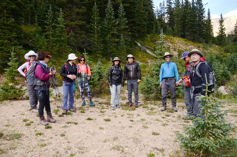
在湖邊小休後隊伍分成A、B兩隊,A隊續往Broome Hut,B隊則循原路下山;隊伍分好後我帶著A隊先循原路下山,B隊則留在湖邊休息,晚點再下山先行回家。
11:13 下抵Berthoud Pass Ditch取左行續往Broome Hut。
Current Lake Trail & Berthoud Pass Ditch junction
Current Lake Trail & Berthoud Pass Ditch junction
11:16 抵達右往登山口岔路,取左續沿Berthoud Pass Ditch直行往Broome Hut。
Berthoud Pass Ditch Trail, Colorado
Berthoud Pass Ditch Trail, Colorado
11:18 抵達右下方一處大亂石堆,海拔約11,312呎/3,448公尺,距登山口岔路約400呎/122公尺;沿著溝渠續行。
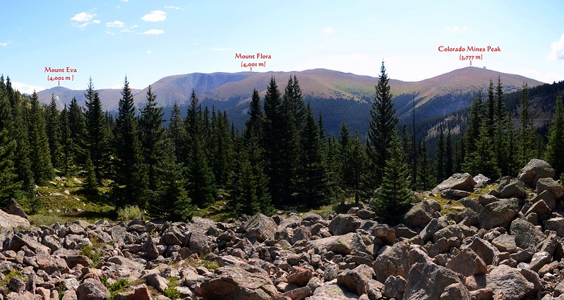
Looking east at mountains from Berthoud Pass Ditch
Looking east at mountains from Berthoud Pass Ditch
11:20 再抵達一處大亂石堆,右下方有一座小水塘,此處海拔約11,312呎/3,448公尺,距登山口岔路約689呎/210公尺;Berthoud Pass Ditch在此被切斷未修復,挑好路線穿過亂石堆接到對面的溝渠續行。
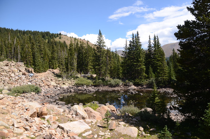
Unnamed pond along Berthoud Pass Ditch

Berthoud Pass Ditch Trail, Colorado
Unnamed pond along Berthoud Pass Ditch
Berthoud Pass Ditch Trail, Colorado
11:39 下方山坡出現一頭公駝鹿(moose),可惜距離太遠看得不是很清楚,這是我今年第二次看到駝鹿。
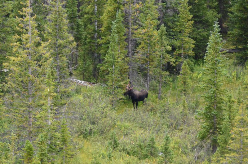
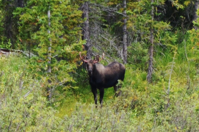
Moose
Berthoud Pass Ditch Trail, Colorado
Looking down US 40 & Berthoud Pass from Berthoud Pass Ditch Trail
Looking southwest at Continental Diveide from from Berthoud Pass Ditch Trail
Moose
Berthoud Pass Ditch Trail, Colorado
Looking down US 40 & Berthoud Pass from Berthoud Pass Ditch Trail
Looking southwest at Continental Diveide from from Berthoud Pass Ditch Trail
11:54 抵達稜線尾端,Berthoud Pass Ditch在此繞著稜尾轉向西北行,海拔約11,325呎/3,452公尺,此處距登山口岔路約1.06哩/1.7公里;
The trail travels through the edge of the ridge
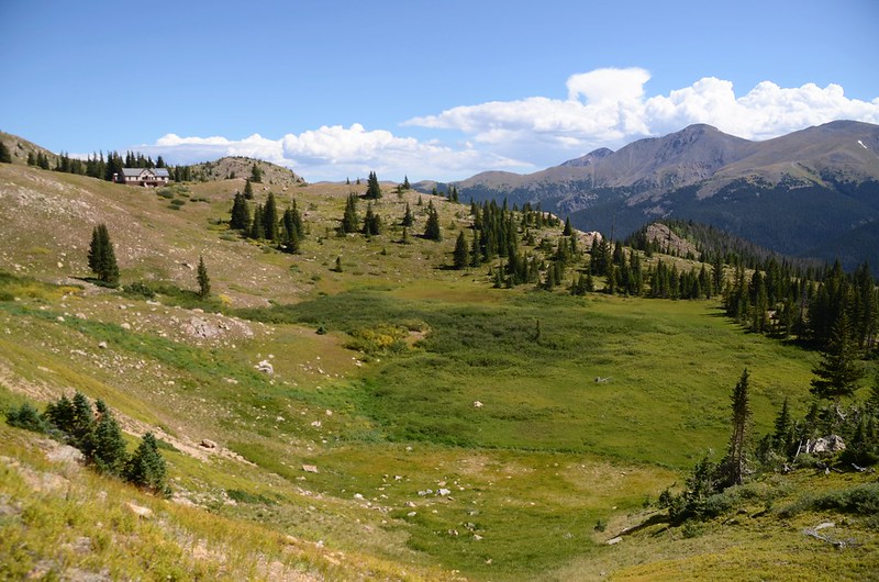
沿著溝渠往西北續行,此後行程一路從樹梢縫隙可遙見Broome Hut建物。

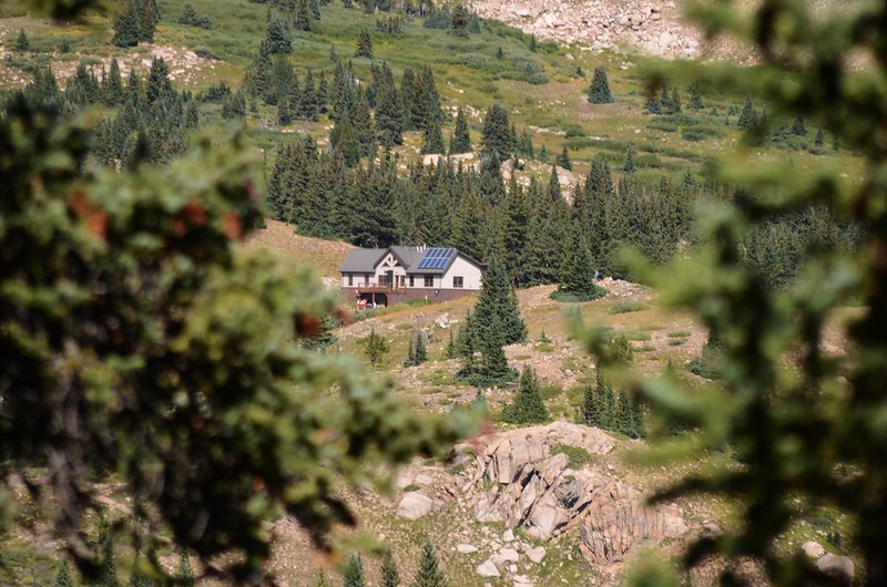
Overlook of Broome Hut from Berthoud Pass Ditch

Berthoud Pass Ditch Trail, Colorado
The trail travels through the edge of the ridge
沿著溝渠往西北續行,此後行程一路從樹梢縫隙可遙見Broome Hut建物。
Overlook of Broome Hut from Berthoud Pass Ditch
Berthoud Pass Ditch Trail, Colorado
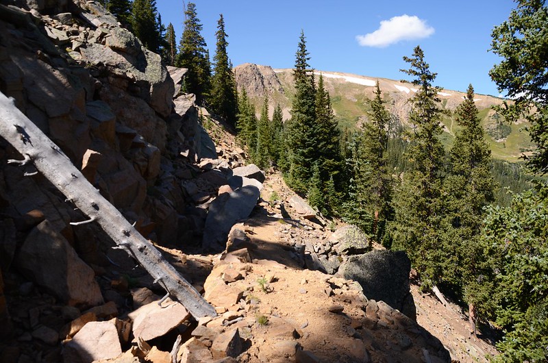
12:05 溝渠在此一處大坍方,從一處大落石旁小心攀過,右側是垂直坍方處有點危險性,此處海拔約11,335呎/3,455公尺,此處距登山口岔路約1.24哩/2.0公里;
Berthoud Pass Ditch Trail, Colorado
通過大石坍方處後沿著溝渠續行。
Berthoud Pass Ditch Trail, Colorado
Berthoud Pass Ditch Trail, Colorado
通過大石坍方處後沿著溝渠續行。
Berthoud Pass Ditch Trail, Colorado
12:18 遇一小支流,附近殘留溝渠積滿溪水,海拔約11,345呎/3,458公尺,此處距登山口岔路約1.55哩/2.5公里;

View to northeast from Berthoud Pass Ditch
View to northeast from Berthoud Pass Ditch
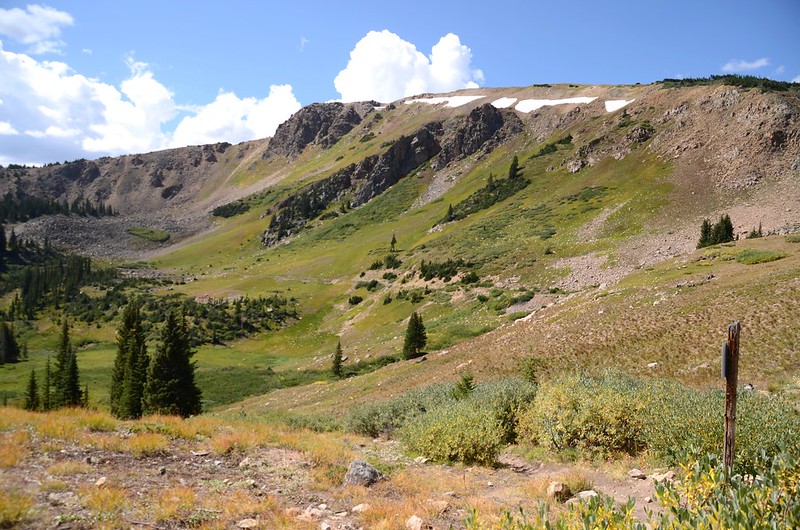
12:28 來到一處圈谷,海拔約11,345呎/3,458公尺,此處距登山口岔路約1.8哩/2.9公里。
Overlook of Broome Hut from Berthoud Pass Ditch
Berthoud Pass Ditch Trail, Colorado
Looking east at mountains from Berthoud Pass Ditch
Overlook of Broome Hut from Berthoud Pass Ditch
Berthoud Pass Ditch Trail, Colorado
Looking east at mountains from Berthoud Pass Ditch
12:40 溝渠終止,在此右切山坡,直取東北向往Broome Hut前行;此處海拔約11,348呎/3,459公尺,距登山口岔路約2.05哩/3.3公里。
Berthoud Pass Ditch Trail, Colorado
The trail travels through the rocky slope to Broome Hut
Berthoud Pass Ditch Trail, Colorado
The trail travels through the rocky slope to Broome Hut
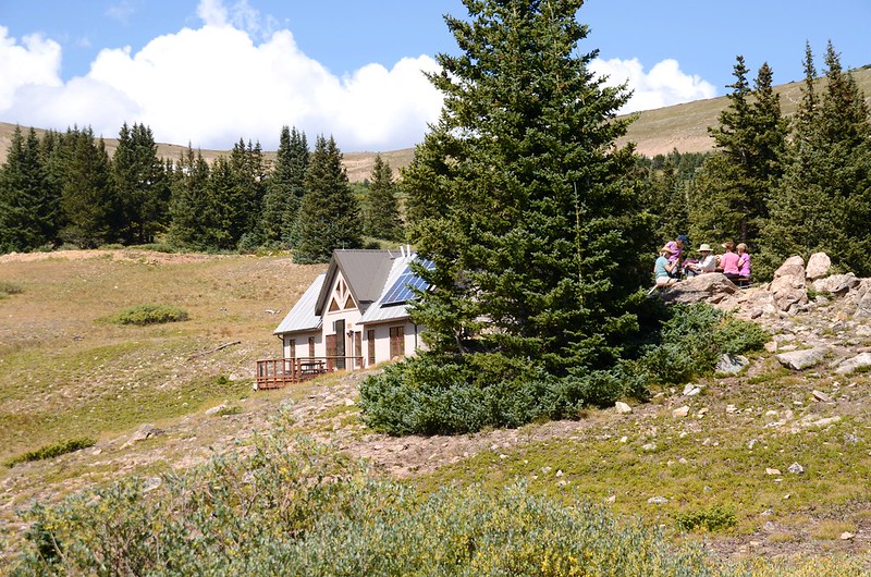
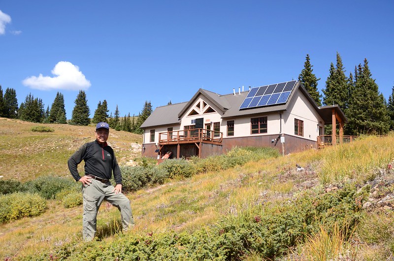
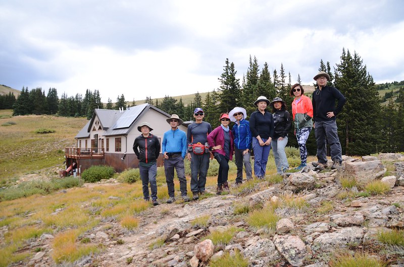
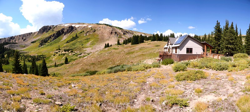
12:47 抵達Broome Hut,海拔約11,371呎/3,466公尺,此處距登山口岔路約2.24哩/3.6公里;


Broome Hut, Colorado
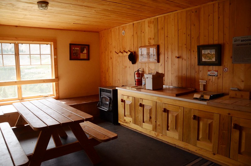
我們在此用餐、參觀山屋設施及賞景休息。
Mountain view from Broome Hut
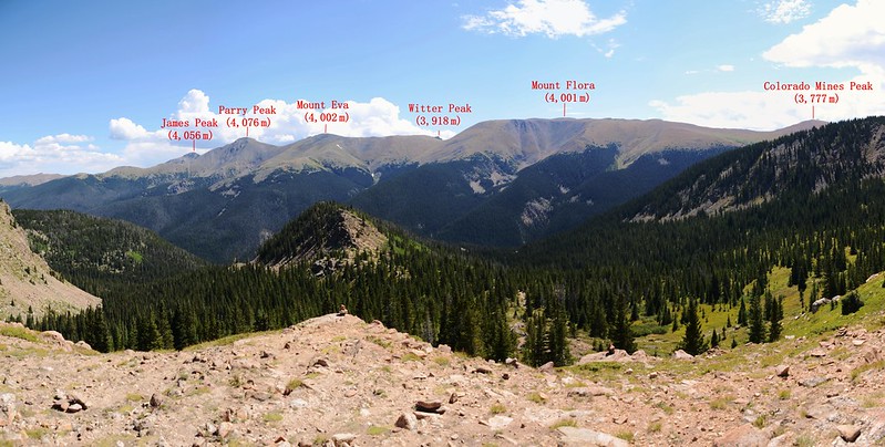
Looking east at mountains from Broome Hut
View to sourthwest from Broome Hut
Broome Hut, Colorado
我們在此用餐、參觀山屋設施及賞景休息。
Mountain view from Broome Hut
Looking east at mountains from Broome Hut
View to sourthwest from Broome Hut
13:08 我們決定除開車司機外其餘山友沿Second Creek Trail下山少走點路,而由我陪Tony和阿才循原路回到Current Creek Trail登山口開車到Second Creek Trailhead接應。
13:13 接回Berthoud Pass Ditch,一路沿著Berthoud Pass Ditch下行。
14:00 返抵溝渠切斷處亂石堆,通過亂石堆後沿溝渠續行。
14:03 回到往登山口岔路,取左沿Current Creek Trail下行。
14:22 回到登山口後開車前往Second Creek Trailhead接應其他山友返回Golden結束今天的登山行程。

Second Creek Trailhead
Second Creek Trailhead
沒有留言:
張貼留言