
Sandbeach Lake, RMNP, Colorado
上週六登山隊前往Rocky Mountain National Park的Wild Basin區內攀登Sandbeach Lake,該湖我在2006年曾攀登過,當年前往攀登時是在五月中,積雪未融,此次前往跟上次有著截然不同的景觀。

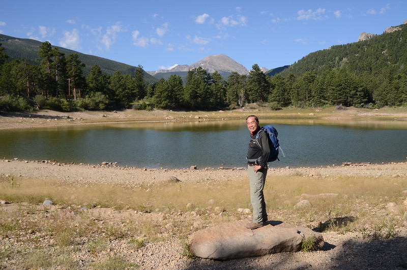
Sandbeach lake (taken on 2006.05.17)
Sandbeach Lake的登山口位在Wild Basin入口收費亭的對面,該登山口停車位有限,總計約二十個車位左右,所以停車不易,但其實如果你常進出Wild Basin就會發現過了收費站後再行一百多公尺會抵達Copeland Lake,在Copeland Lake湖邊道路左側有蠻大的停車空間,一般登山客很少往那兒去停車,我們當天有一部車就是開到那兒停車;接著再往內行車約半哩路範圍內路旁有多處停車空地,所以停車應不是問題,只是要多走一些路就是了!

Copeland Lake
Copeland Lake
-------------------------------------------------------------------------------------------------------
攀登湖泊:Sandbeach Lake,海拔10,311呎/3,143公尺
登山口:Sandbeach Lake Trailhead,海拔8,334呎/2,540公尺
登山里程:來回約9.4哩/15.04公里
總爬升高度:約2,113呎/644公尺
登山時間:約6小時20分
-------------------------------------------------------------------------------------------------------
行車資訊:
開車至Lyons後左轉沿CO-7 W西南行,行約20.7 哩後於County Rd 84向左轉往”Wild Basin”,行約0.4 哩於Co Hwy 115靠右行駛進Wild Basin Entrance Station,通過收費站後隨即右轉到停車場停車。
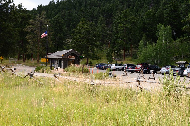
Wild Basin Entrance Station, RMNP
Wild Basin Entrance Station, RMNP
步程簡述:
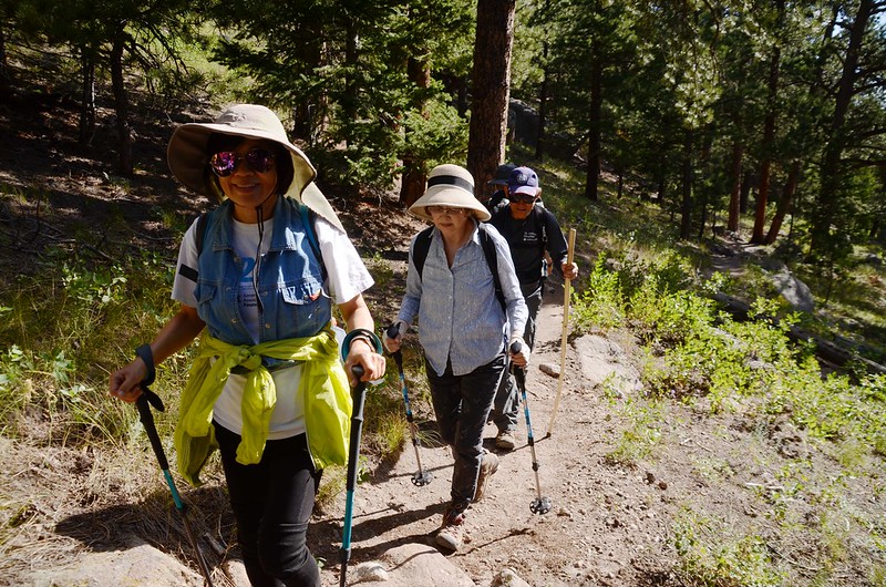
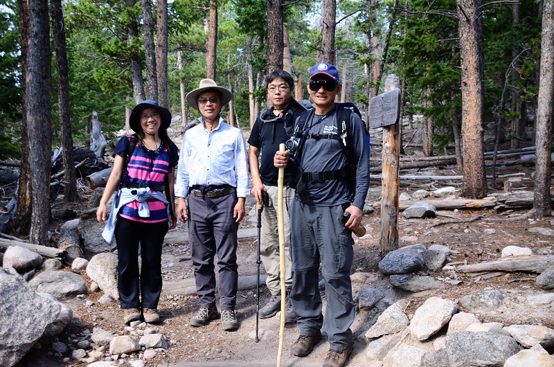
09:40 由Sandbeach Lake Trailhead出發,海拔8,334呎/2,540公尺;
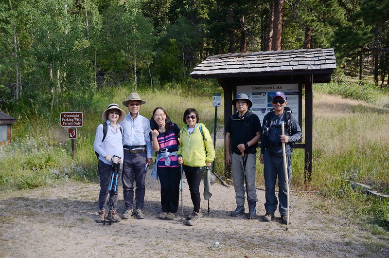
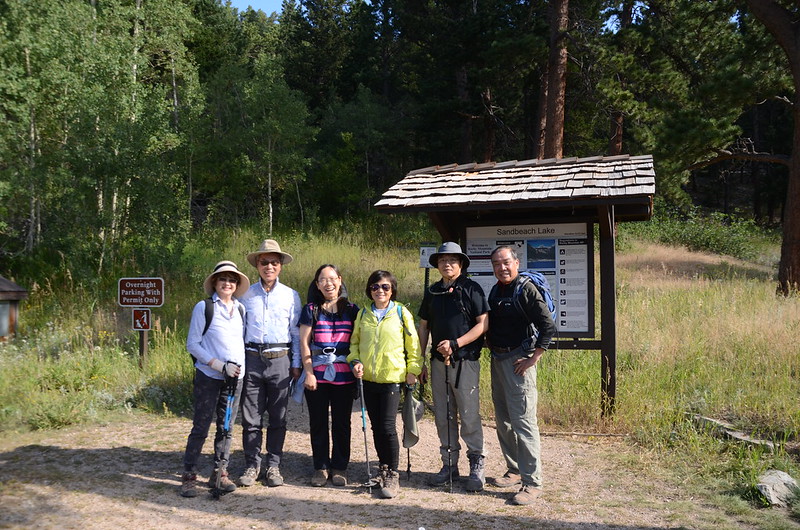
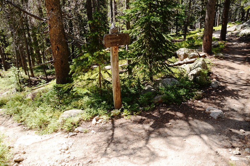
Sandbeach Lake Trailhead
行數十公尺遇岔路取右直行往Sandbeach Lake;
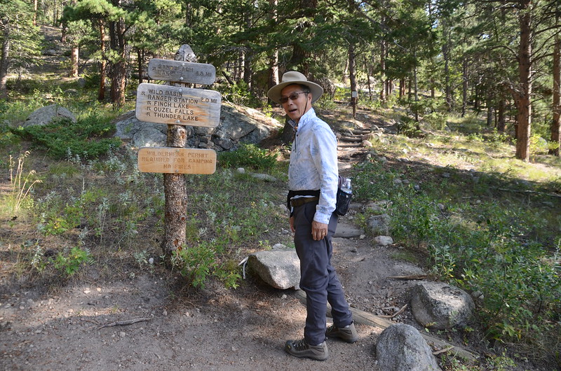
Sandbeach Lake Trail fork
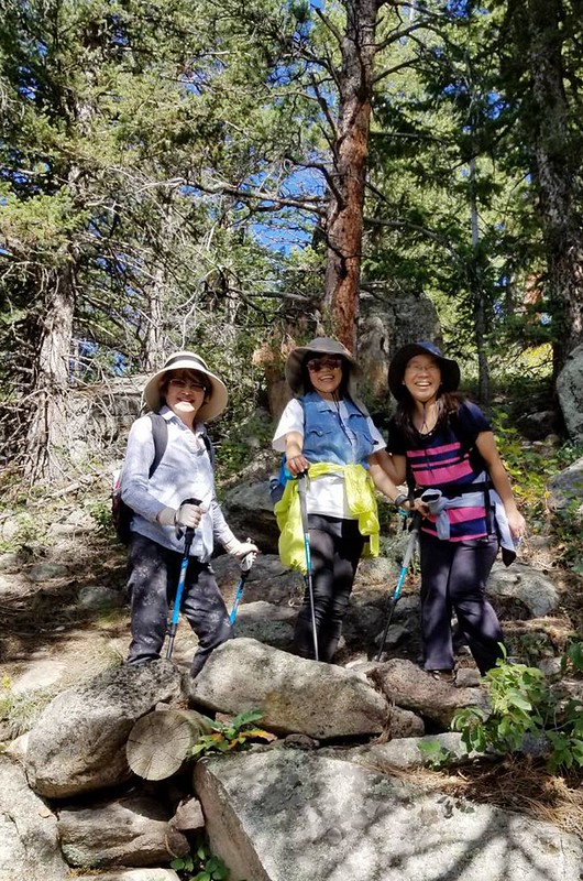
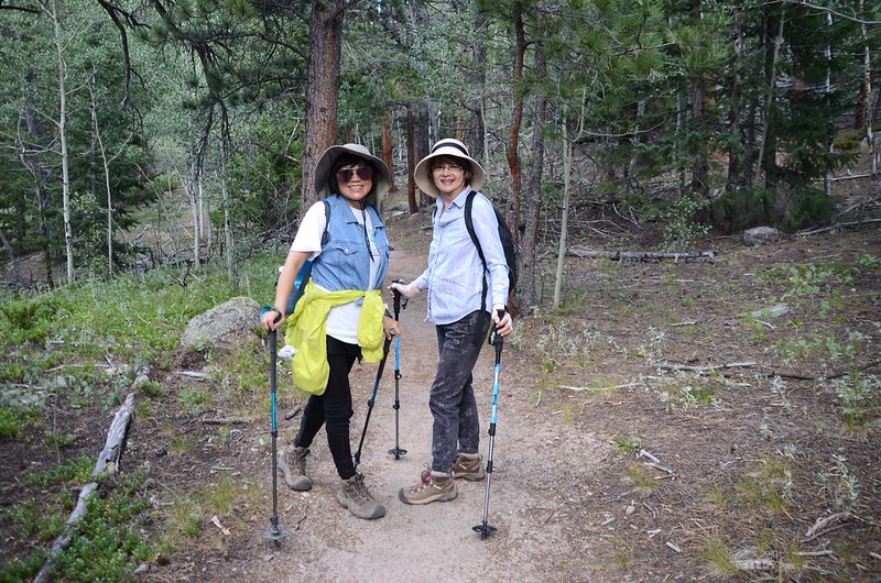
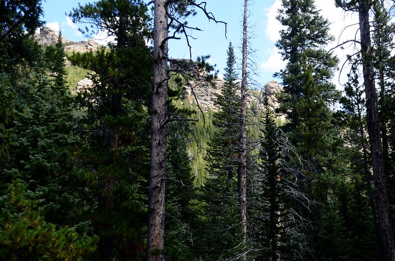
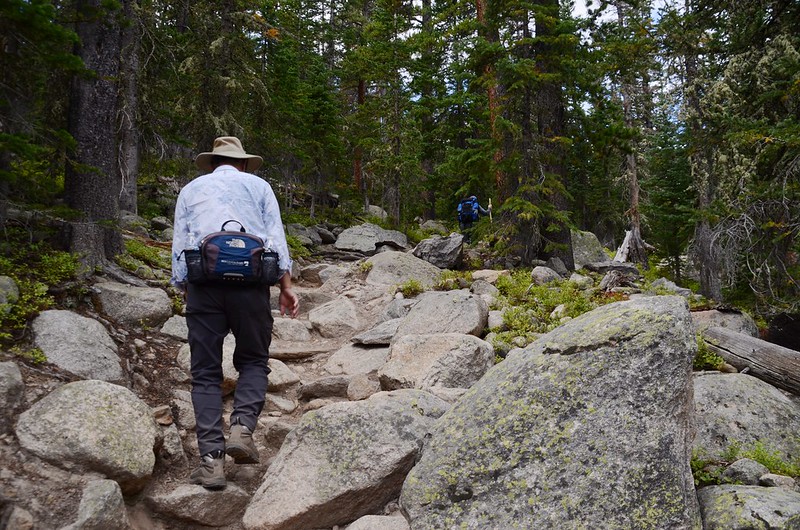
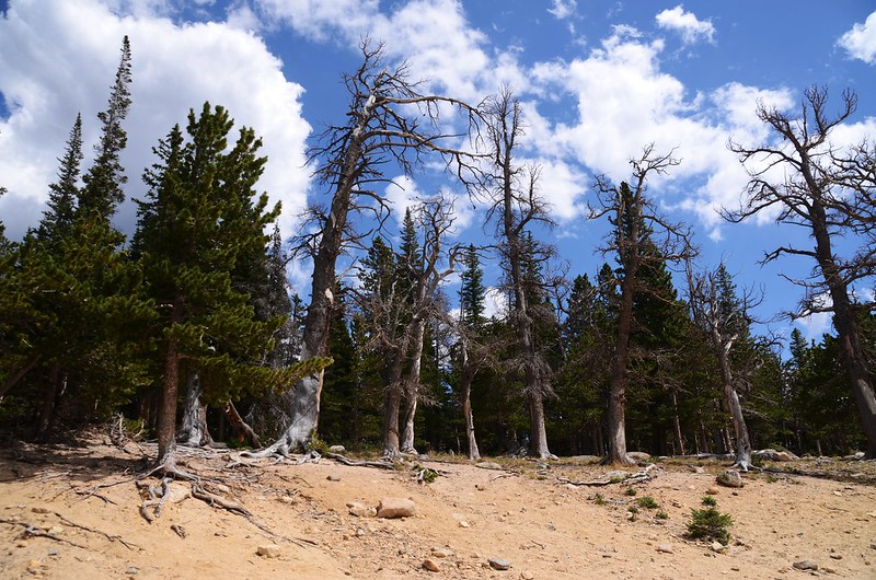
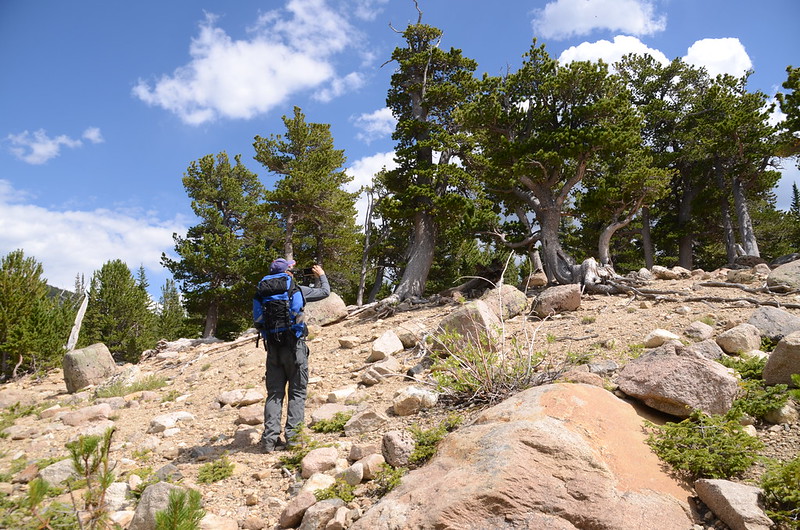
開始”之”字形小幅度爬升,行約半哩路後步道開始在山腰沿等高線西南行;

Sandbeach Lake Trail, RMNP, Colorado
Hiking to Sandbeach Lake, Colorado (taken by Tony)
Sandbeach Lake Trail, RMNP, Colorado
沿途向下俯瞰Saint Vrain Creek河谷,西眺Copeland Mountain。
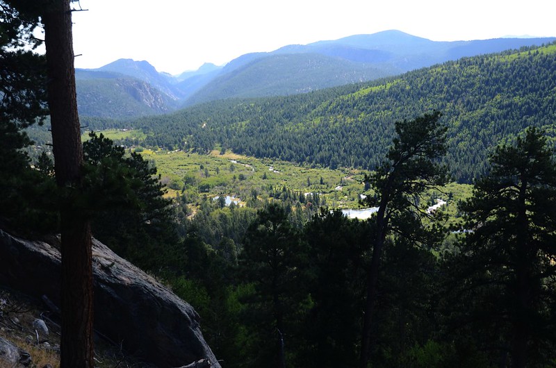
Looking down at North Saint Vrain Creek from Sandbeach Lake Trail

Copeland Mountain from Sandbeach Lake Trail
Sandbeach Lake Trailhead
行數十公尺遇岔路取右直行往Sandbeach Lake;
Sandbeach Lake Trail fork
開始”之”字形小幅度爬升,行約半哩路後步道開始在山腰沿等高線西南行;
Sandbeach Lake Trail, RMNP, Colorado
Hiking to Sandbeach Lake, Colorado (taken by Tony)
Sandbeach Lake Trail, RMNP, Colorado
沿途向下俯瞰Saint Vrain Creek河谷,西眺Copeland Mountain。
Looking down at North Saint Vrain Creek from Sandbeach Lake Trail
Copeland Mountain from Sandbeach Lake Trail
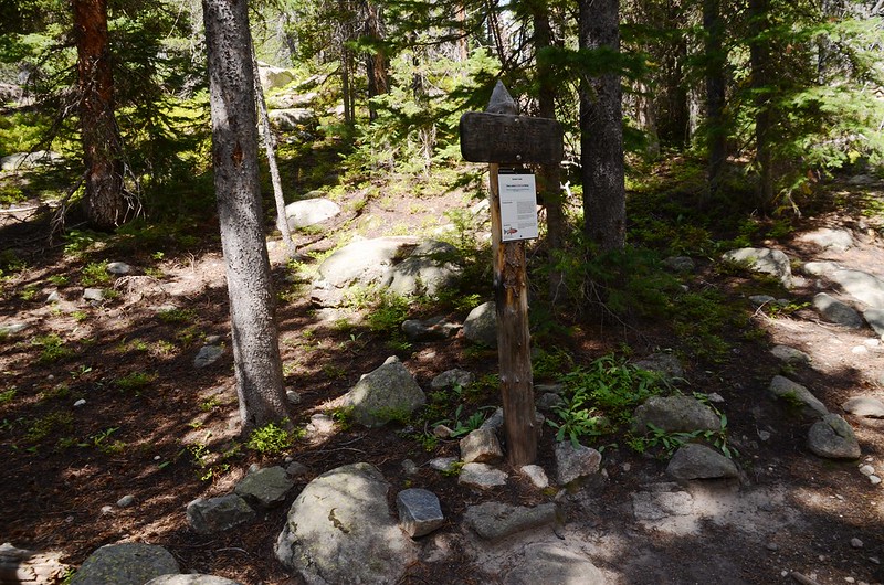
10:32 抵達Meeker Park 岔路,海拔9,005呎/2,745公尺,距登山口1.35哩;

Meeker Park junction, Sandbeach Lake Trail
右岔往Meeker Park,取左直行往Sandbeach Lake。

Sandbeach Lake Trail, RMNP, Colorado
Meeker Park junction, Sandbeach Lake Trail
右岔往Meeker Park,取左直行往Sandbeach Lake。
Sandbeach Lake Trail, RMNP, Colorado
10:51 抵達Hole in the wall 露營區岔路,海拔9,179呎/2,798公尺,距登山口1.85哩;我們取左進去營地參觀。
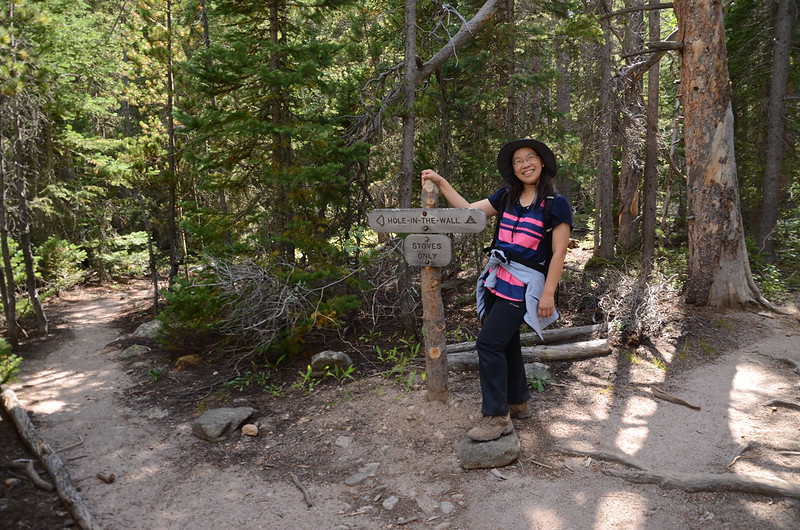
Hole in the wall campsite junction, Sandbeach Lake
Hole in the wall campsite junction, Sandbeach Lake
10:55 抵達Hole in the wall 營地;
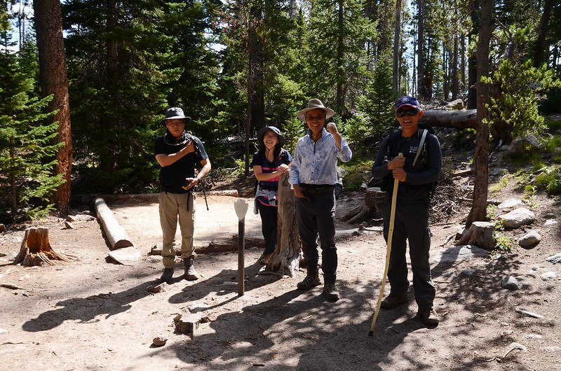
Hole in the wall campsite, Sandbeach Lake Trail
在營地北邊岩壁上有一座岩石拱門,不知Hole in the wall之名是否因該地標而來,未得而知!
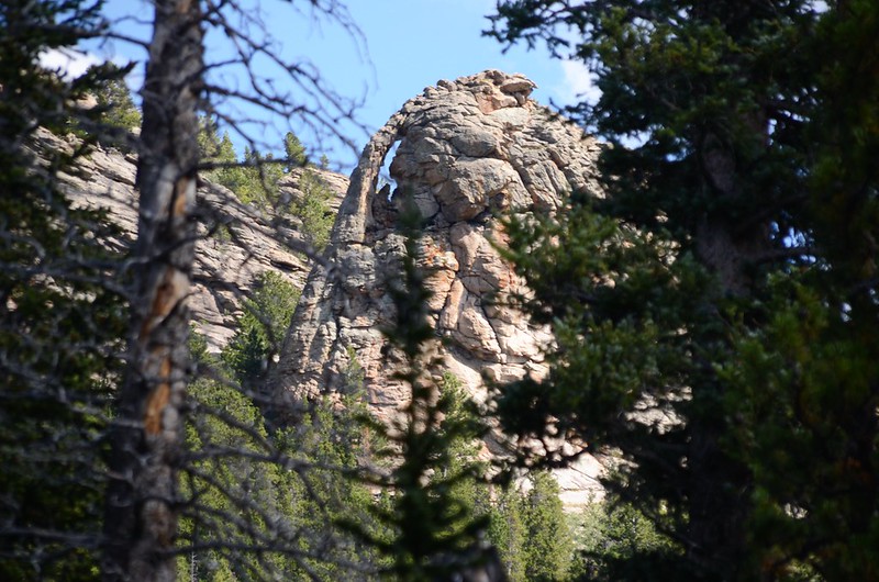
Hole in the wall ?
Hole in the wall campsite, Sandbeach Lake Trail
在營地北邊岩壁上有一座岩石拱門,不知Hole in the wall之名是否因該地標而來,未得而知!
Hole in the wall ?
11:00 回到Hole in the wall campsite岔路口,取左續往Sandbeach Lake西行。
11:05 抵達Campers Creek campsite岔路,海拔9,281呎/2,829公尺,距登山口2.05哩;取右直行。
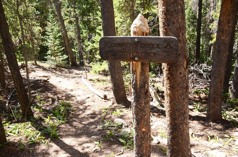
Campers Creek campsite junction, Sandbeach Lake Trail
Campers Creek campsite junction, Sandbeach Lake Trail
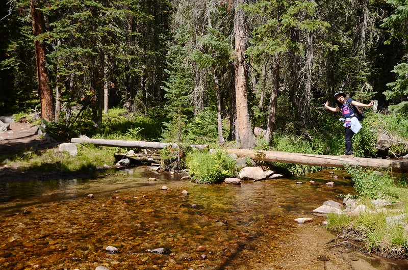
11:29 抵達Campers Creek,海拔9,596呎/2,925公尺,距登山口2.5哩;由橫跨小溪上的兩根大原木橋過溪後續行。
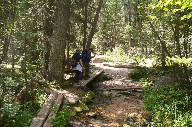
Campers Creek, Sandbeach Lake Trail
Campers Creek, Sandbeach Lake Trail
11:44 路左Beaver pond,海拔9,675呎/2,949公尺,距登山口2.9哩;枯水期無水。
11:47 抵達Beaver Mill campsite岔路,海拔9,671呎/2,948公尺,距登山口3.0哩;取右續行。
Beaver Mill campsite junction, Sandbeach Lake Trail
Beaver Mill campsite junction, Sandbeach Lake Trail
11:56 抵達Hunters Creek campsite岔路,海拔9,731呎/2,966公尺,距登山口3.25哩;仍取右直行。
Hunters Creek campsite junction, Sandbeach Lake Trail
Hunters Creek campsite junction, Sandbeach Lake Trail
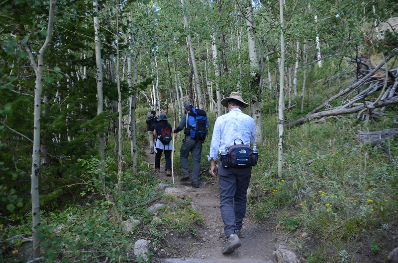
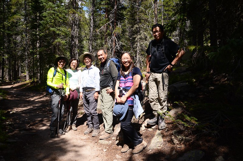
12:00 遇宇靈伉儷下山,他們因下午有事所以提早上山,閒聊一會兒後各自上下山。
Sandbeach Lake Trail, RMNP, Colorado
Sandbeach Lake Trail, RMNP, Colorado
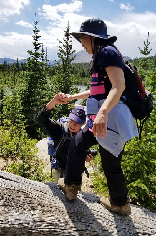
12:10 抵達Hunters Creek,海拔9,831呎/2,996公尺,距登山口3.5哩;由兩截大原木跨過小溪後續行,此後山徑逐漸變陡。
Hunters Creek, Sandbeach Lake Trail
Sandbeach Lake Trail, RMNP, Colorado
Hunters Creek, Sandbeach Lake Trail
Sandbeach Lake Trail, RMNP, Colorado
12:36 又遇一位女山友Winnie下山,她和宇靈山友都是提早上山的,打招呼後續行上山。

Sandbeach Lake Trail, RMNP, Colorado
當陡坡山徑趨於平緩時表示已接近湖邊,此時會經過一座栓馬的木架,馬匹僅能栓在此處不能到湖邊。
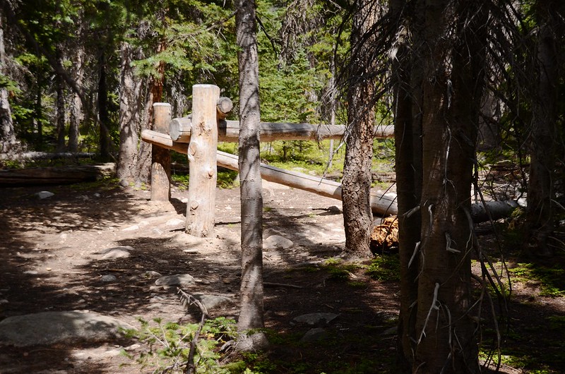
Horse hitching rack
Sandbeach Lake Trail, RMNP, Colorado
當陡坡山徑趨於平緩時表示已接近湖邊,此時會經過一座栓馬的木架,馬匹僅能栓在此處不能到湖邊。
Horse hitching rack
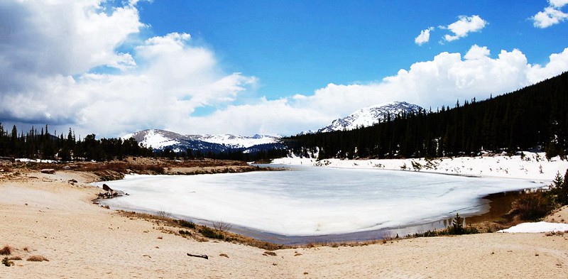
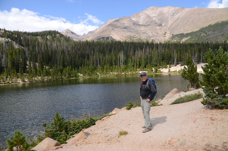
13:02 抵達Sandbeach Lake東北角湖岸,海拔10,311呎/3,143公尺,距登山口4.4哩。

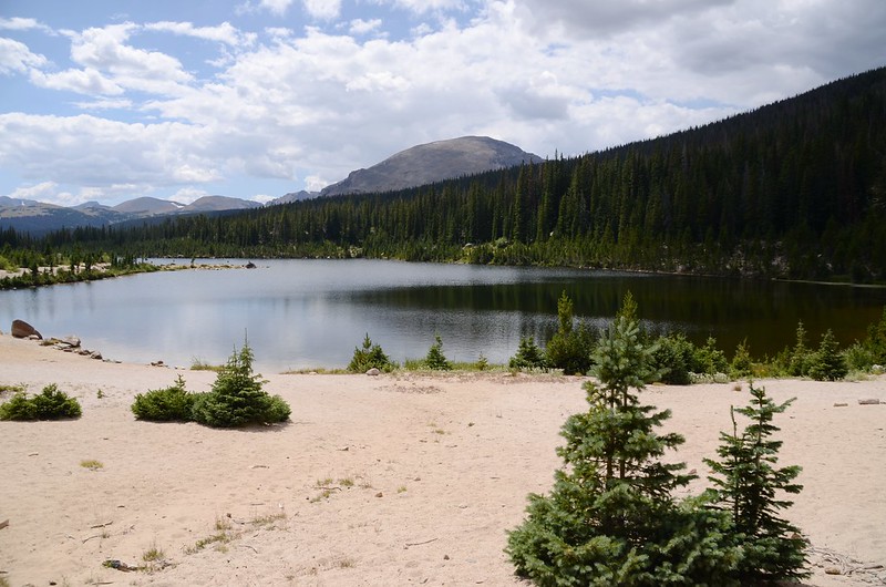
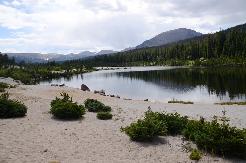
Sandbeach Lake, RMNP, Colorado
Sandbeach Lake, Colorado (taken by Tony)
Sandbeach Lake, RMNP, Colorado
Sandbeach Lake, RMNP, Colorado
Sandbeach Lake, Colorado (taken by Tony)
Sandbeach Lake, RMNP, Colorado
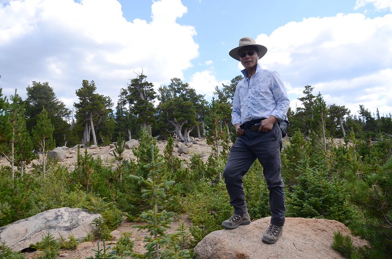
Sandbeach Lake東北角是一片沙灘,沙灘後面高起稜線有許多Bristlecone pine,這一片沙灘應該是此湖之命名由來;湖的東岸則是一片大小不一的亂石,十幾年前登此湖時還算好走,我曾走到南岸的出水口,但現在亂石之間長了許多比人還高的小杉木,穿行不易,所以放棄到出水口一遊。

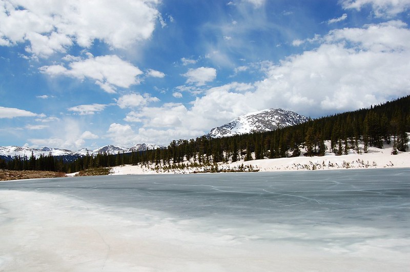
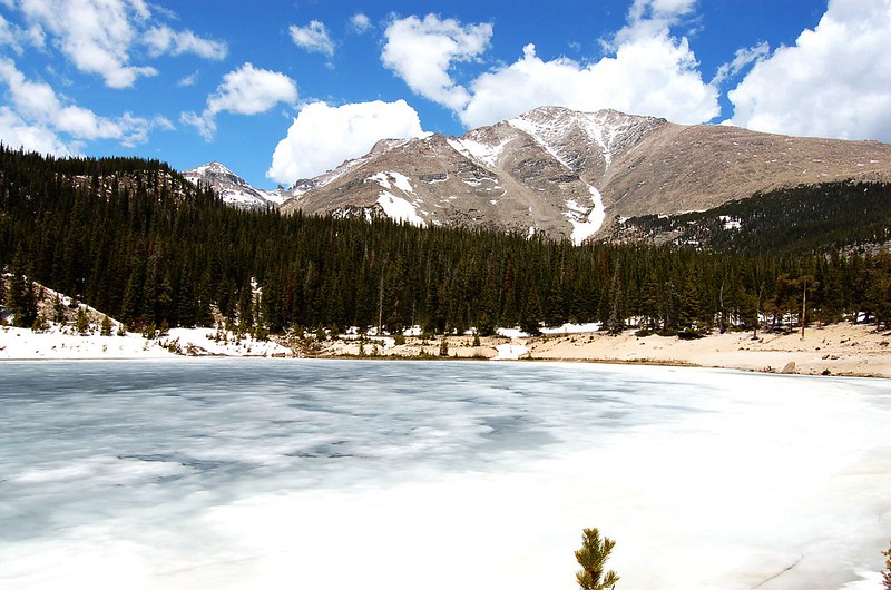
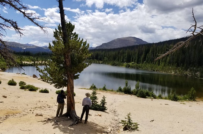
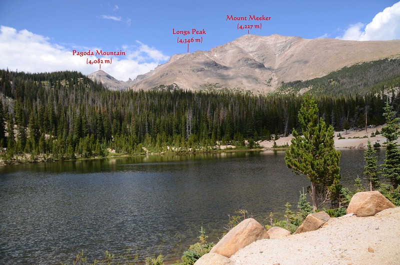
Taken from Sandbeach Lake, background are Pagoda(L)、Longs Peak(M) & Meeker Mt

Sandbeach Lake, RMNP, Colorado
Sandbeach Lake, Colorado (taken by Tony)
Sandbeach Lake, RMNP, Colorado
Taken from Sandbeach Lake, background are Pagoda(L)、Longs Peak(M) & Meeker Mt
Sandbeach Lake, RMNP, Colorado
Sandbeach Lake, Colorado (taken by Tony)
Sandbeach Lake, RMNP, Colorado
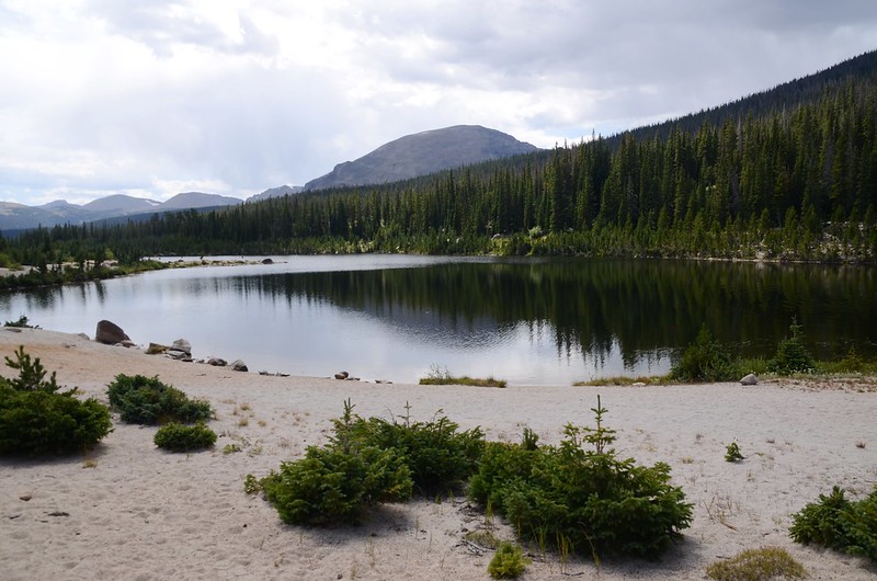
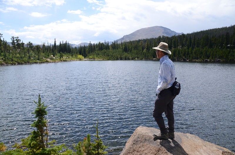
站在湖邊西北仰望Pagoda Mountain、Longs Peak和Mount Meeker幾座高山,西南則可遠眺Copeland Mountain、Paiute Peak、Mount Audubon和Saint Vrain Mountain等幾座Indian Peaks Wilderness的高山。

Looking northwest at Longs Peak et al. from Sandbeach Lake
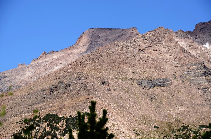
Looking northwest at Longs Peak from Sandbeach Lake

Looking southwest at Copeland Mt. et al. from Sandbeach Lake
Looking northwest at Longs Peak et al. from Sandbeach Lake
Looking northwest at Longs Peak from Sandbeach Lake
Looking southwest at Copeland Mt. et al. from Sandbeach Lake
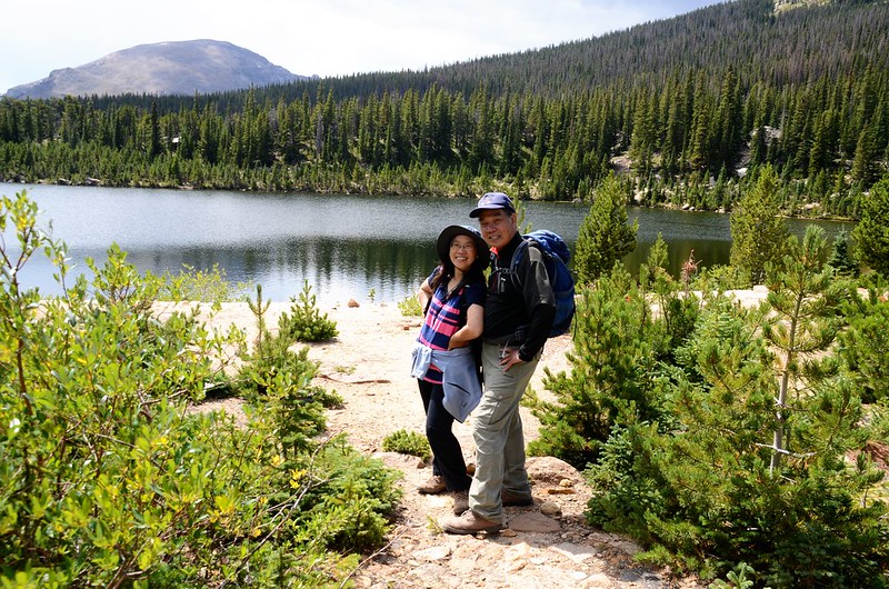
13:50 在湖邊休息用餐後下山。
14:16 經過Hunters Creek。
14:24 經過Hunters Creek campsite岔路取左下山。
14:31 經過Beaver Mill campsite岔路取左下山。
14:47 經過Campers Creek。
15:01 經過Campers Creek campsite岔路取左下山。
15:06 經過Hole in the wall campsite岔路取左下山。
15:20 經過Meeker Park岔路取左下山。
16:00 返抵山口,開車返家。
沒有留言:
張貼留言