
Mount Belford(14,197呎/4,327公尺)位在科羅拉多州第一高峰Mount Elbert南邊約12哩處,標準傳統路線Northwest Ridge的登山口是Missouri Gulch Trailhead(9,650呎/2,941公尺),攀登等級從Class 1到Class 2,大多數的登山客在爬完這座山後緊接著會順便攀登另一座14er-- Mount Oxford(14,153呎/4,314公尺),因為這兩座山相距僅約一哩半左右;當登頂Mount Belford後往東下降約700呎,沿稜線再爬升約650呎即登頂Mount Oxford,這兩座山連走是採原路來回方式,全程約11哩(17.6公里),爬升高度約5,900呎(1,798公尺);如果單獨走Mount Belford則全程僅7哩多,爬升高度約4,560呎(1,390公尺)。
Mount Belford 和Mount Oxford 都屬於Sawatch Range,Mount Belford是為紀念科羅拉多首位國會議員James B. Belford 而命名;而Mount Oxford 是由Colorado Mountain Club的Jerome Hart於1931年以Oxford大學命名,它是科羅拉多州5座14ers以知名大學命名的其中一座,其他4座分別為Mount Columbia、Mount Harvard、Mount Princeton和Mount Yale。
該兩座14er我在2007年 7月7日首度前往攀登,當年是當天單攻採取兩山連登方式,共費時9小時30分,日前山友邀約攀登該兩座14er,恰好兩位孫子有空乃偕同前往,但這次我們相約前一晚先夜宿登山口,隔天一大早出發以避免過午可能發生的thunderstorm。
行車資訊:
由丹佛女兒家中出發,先取道I-70州際公路西行,行約90哩後由Exit 195出口接CO-91公路南下,經觀光小鎮Leadville續沿US 24南下;US 24南行約20哩後遇Chaffee County 390 road右轉,再行約7.5哩左轉Missouri Gulch Trailhead登山口停車場,座標N38.99791° W106.37496°,海拔2940公尺,抵停車場時已是晚上九點左右,山友宇靈、Tony已在停車場等候,小聊後各自上車睡覺。
----------------------------------------------------------------------------------------------
攀登山岳:Mount Belford,海拔14,197呎/4,327公尺
登山里程:往返共計8.39哩/13.5公里
總爬升高度:4593呎/1400公尺
登山時間:含山頂等候隊友2小時20分合計12小時
山友和孫子門連登Mount Belford & Mount Oxford行程
攀登山岳:
Mount Belford,海拔14,197呎/4,327公尺
Mount Oxford,海拔14,153呎/4,314公尺
登山里程:往返共計11.37哩/18.3公里
總爬升高度:5984呎/1824公尺
登山時間:11小時
----------------------------------------------------------------------------------------------
步程簡述:
04:05 由停車場戴頭燈出發;

Missouri Gulch Trailhead
沿Missouri Gulch Trail南下,先經橫跨在Clear Creek上的小橋後進入森林朝東南爬升;

A bridge crossing Clear Creek
行約500公尺步道轉為一連串“之”字形的陡坡,但仍穿行於森林中。
抵達海拔約3,170公尺/10,400呎結束“之”字形路段,步道轉為沿著Missouri Gulch小溪西岸直線往南爬升。
05:21 抵達一處渡溪處,座標N38.98548° W106.37301°,海拔10,774呎/3,284公尺,距登山口約2.1公里;

A shift log bridge crossing Missouri Gulch stream
Missouri Gulch小溪上用十來根杉木橫跨兩岸,小心踩著杉木渡到小溪東岸,抵東岸後右上方是一大片雪崩後的低矮殘林,2007年登此山時尚未有此片殘林,可知此處雪崩應是近幾年才發生。

Avalanche zone
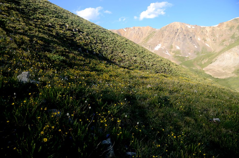
沿著雪崩殘林間步道上行,殘林間大片columbine野花盛開。
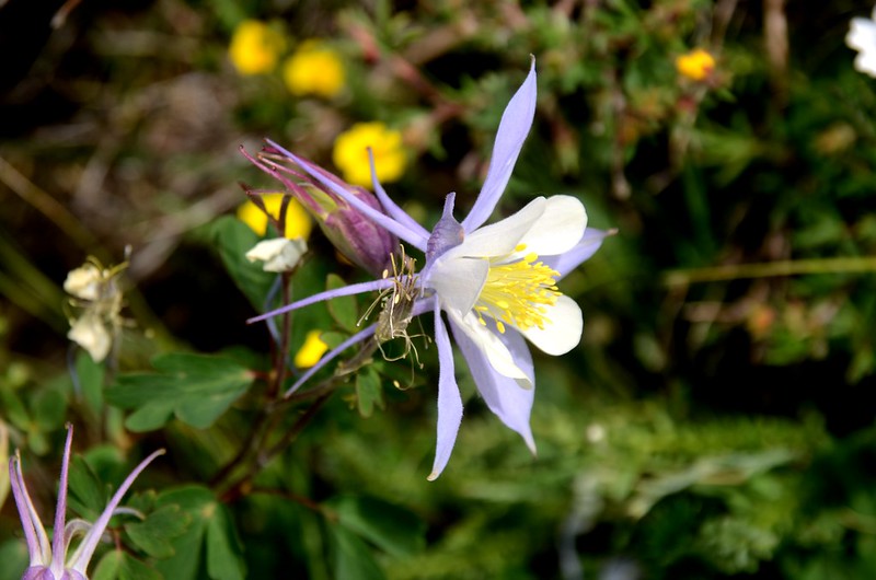
Columbine
05:43 上抵雪崩區頂端,隨即又進入林中上行。
Avalanche zone
05:50 抵達一原木建築遺址,座標N38.98152° W106.37391°,海拔11,234呎/3,424公尺,距登山口約2.8公里;
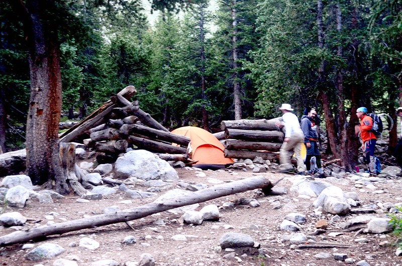
Old shack
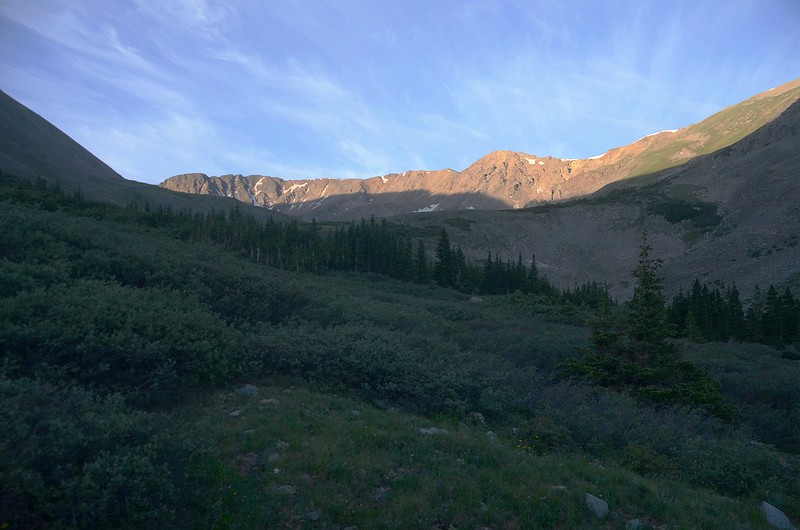
原木建築遺址內外有兩三頂山友在此露營的帳篷;再行約一分鐘出森林,步道趨平緩,此時Mount Belford出現在步道前方,而登頂的步道在此亦一目瞭然;

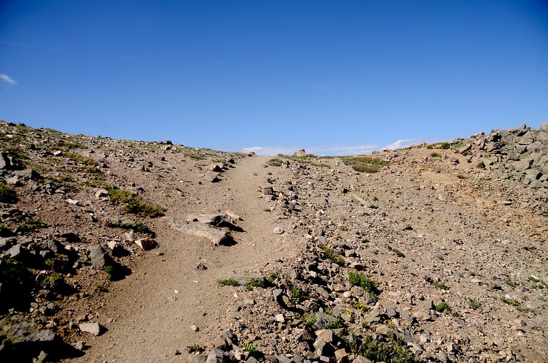
Just out of treeline,the terrain levels out and easy to hike
由於小孫子貝貝有輕微高山反應所以請山友宇靈、Tony和大孫子豆豆先行,我陪貝貝減緩步伐適應高度慢行,今天我本就計畫攀登一座14er--Mount Belford就好。

Just out of treeline,the terrain levels out and easy to hike
06:20 抵達Belford和Missouri岔路口,座標N38.97425° W106.37320°,海拔11,601呎/3,536公尺,距登山口約3.7公里;

Missouri Gulch Trail、Mount Belford Trail junction
岔路右往Elkhead Pass (Missouri Gulch) Trail 通往Missouri Mountain,取左岔往Mount Belford。
Looking south at Missouri Mountain from Missouri Gulch
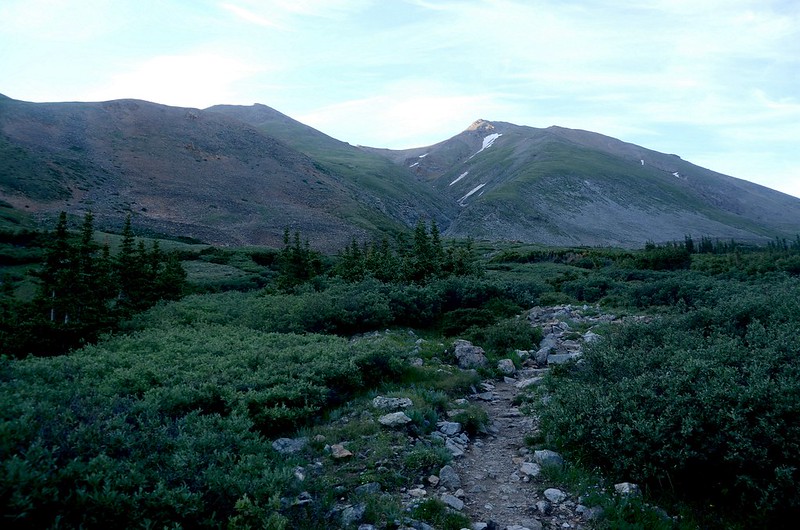
Looking south at Mount Belford from Missouri Gulch
06:43 步道朝東南直抵Belford西北稜山腳,越過一條小溪澗後準備攀登較為陡峭的步道,此地座標N38.97139° W106.37107°,海拔11,896呎/3,626公尺,距登山口約4.1公里。
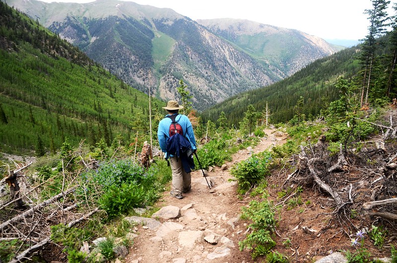
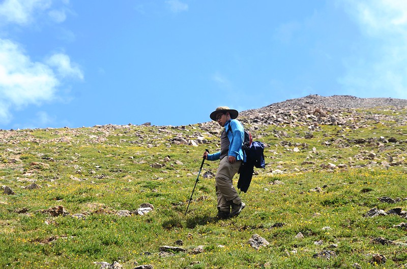
Mount Belford西北稜是一條陡峭的山徑,由山腳到山頂直線距離約1.5公里,卻要爬升約700公尺,山徑不但陡峭,部分路段礫石鬆散難走,是一條非常艱困的路程,此時貝貝已適應高度,他叫我慢慢爬,他想趕上他老哥續爬到Mount Oxford。
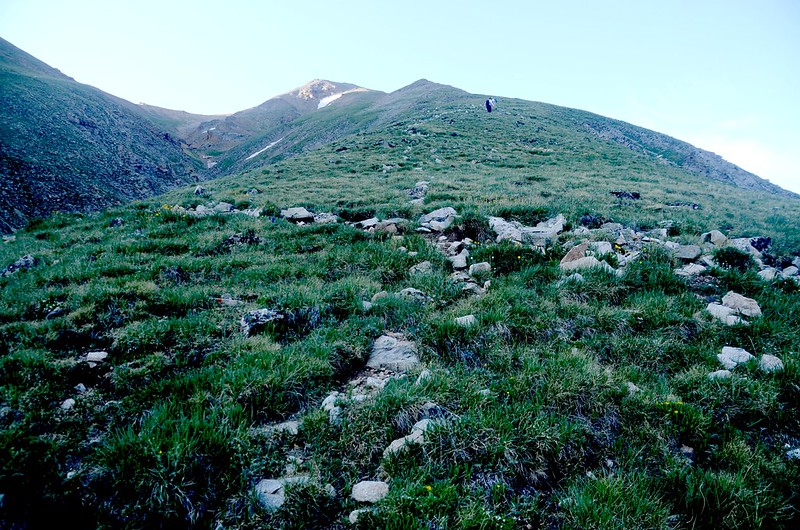
Starting up the ridge
登山步道先經一段陡坡後上抵稜線,此時仰望山徑已不見貝貝身影;

Mount Belford's northwest slope
Mount Belford's northwest slope
Looking down the Belford switchbacks and into the Missouri Gulch

Looking north at Mount of the Holy Cross from Mount Belford trail near 13,260'
此後步道大致沿著稜線一路攀升,偶而繞到右側山坡,隨即回到稜線。
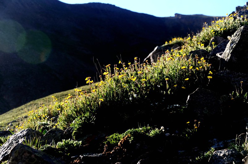
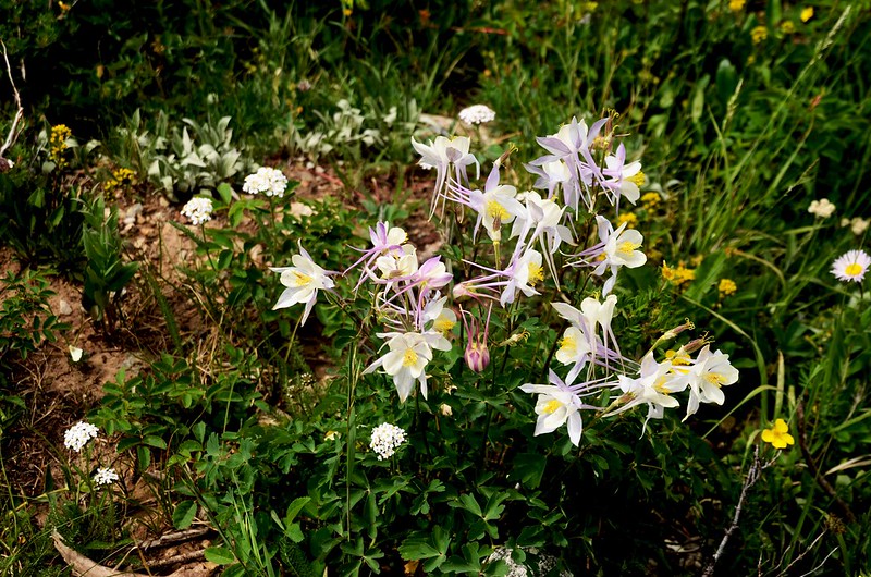
Wildflowers blooming along the trail
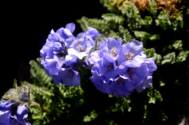
Sky pilot flower
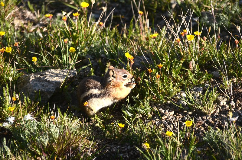
Pika

Mount Belford's northwest slope
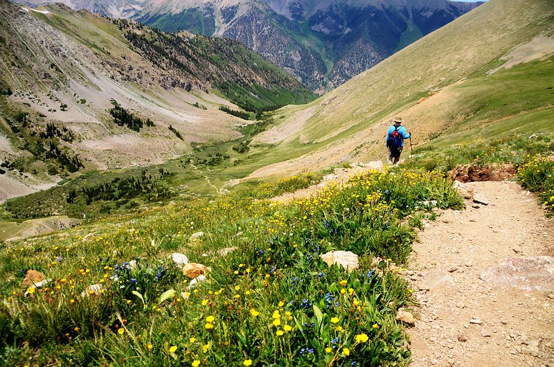
沿途右下俯瞰Missouri Gulch、Elkhead pass trail。

Looking down into Elkhead Pass from Belford's northwest slope
09:45 “之”字形爬升終止,座標N38.96245° W106.36475°,海拔13,793呎/4,204公尺;右轉朝西南向小鞍部爬升。
Near 13,800', approaching the flat spot on Belford's west side
09:51 爬升到Belford西坡一處地勢平坦的高點,座標N38.96130° W106.36522°,海拔13,865呎/4,226公尺;

Mountains views from the flat spot near 13,900 ft
此處展望群山,視線豁然開朗,自此步道再轉左朝東緩升。

False summit of Mount Belford
10:12 抵海拔14,100呎稜點,Belford的山頂已在不遠處。

False summit of Mount Belford
山頂很突出,黃褐色的岩石堆高高的隆起,像隻怪獸,也像顆樹瘤;

The summit knob of Mount Belford
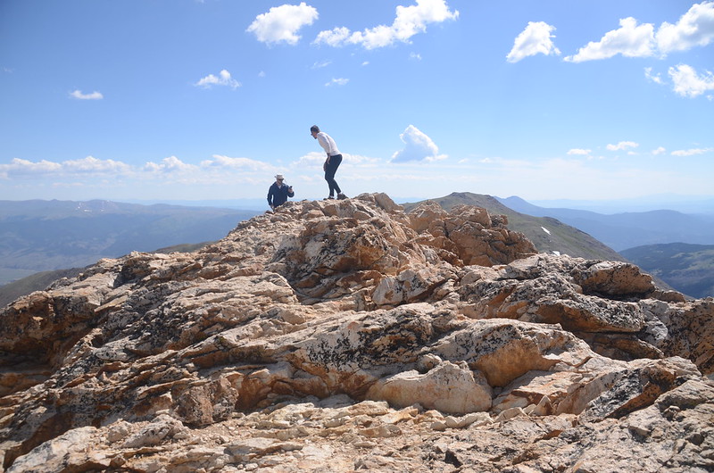
翹首仰望,山頂上似乎聚集幾位登山客。
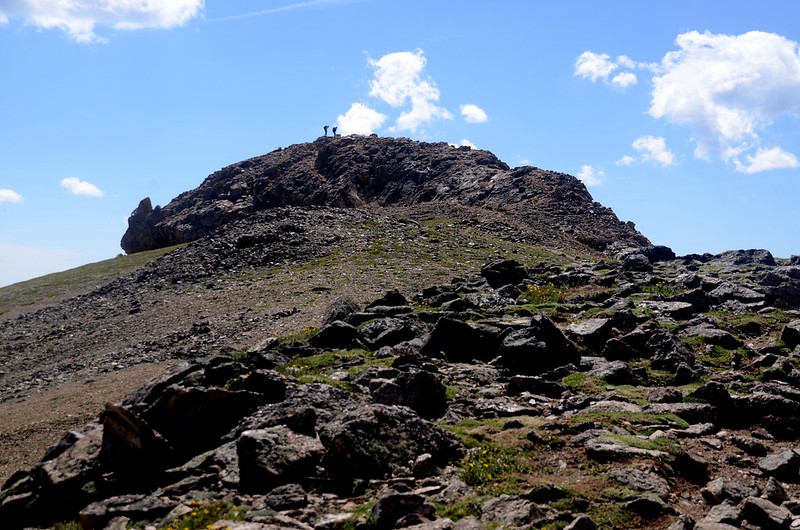
The summit knob of Mount Belford
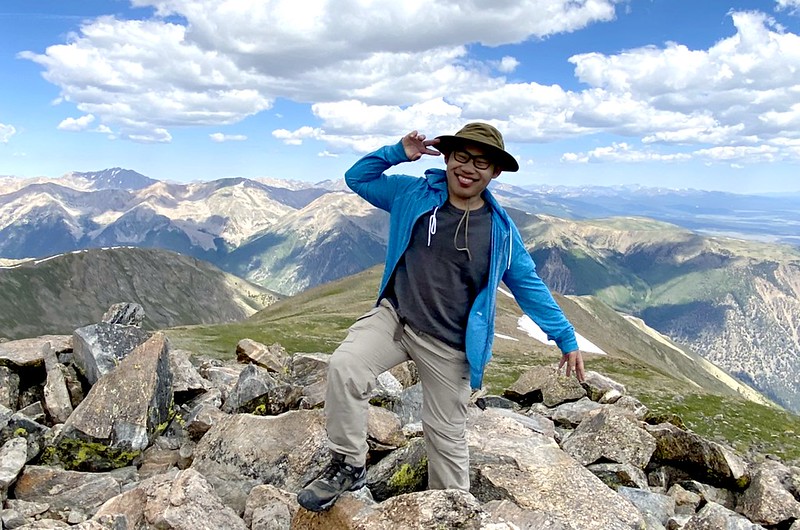
10:17 登頂Mount Belford(14,197呎/4,327公尺);山頂是一處崎嶇的、堅硬的黃褐色岩石堆,展望極佳。
The summit of Mount Belford

Benchmark on the summit of Mount Belford
山頂上不見山友及兩位孫子,他們應早已前往Mount Oxford,可能已登頂了;2007年登此山僅花3小時53分鐘,而今天卻走了6小時又10分鐘,而且走得虛咧咧,真是歲月不饒人哪!
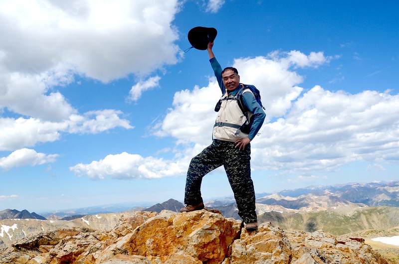
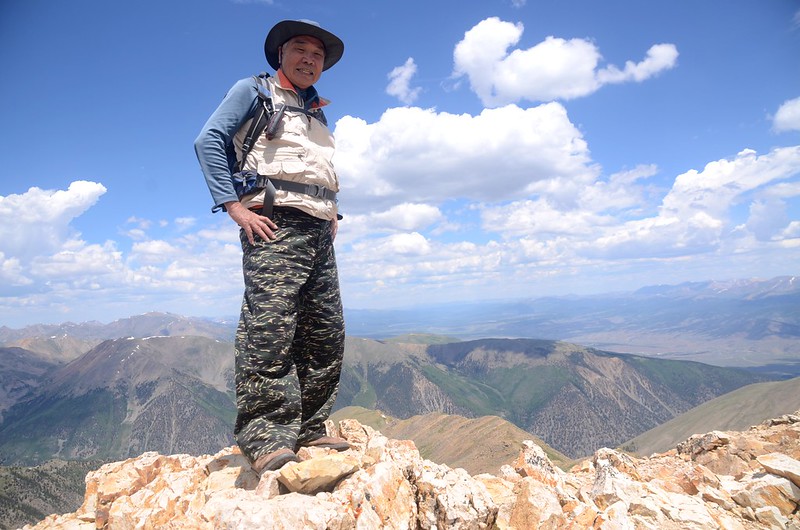
On the summit of Mount Belford
在山頂休息並環視群山,等候山友及孫子回來後再一起下山。
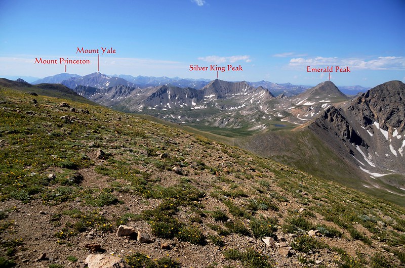
View to the north from the summit of Mount Belford
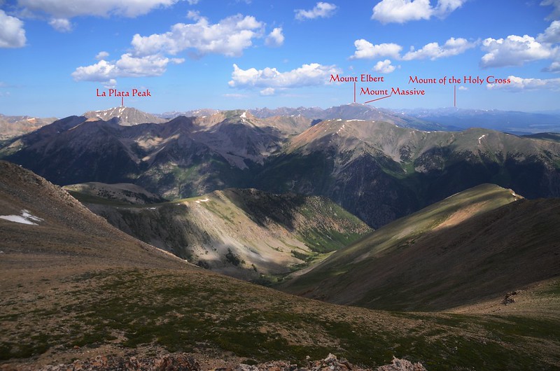
View to the northwest from the summit of Mount Belford
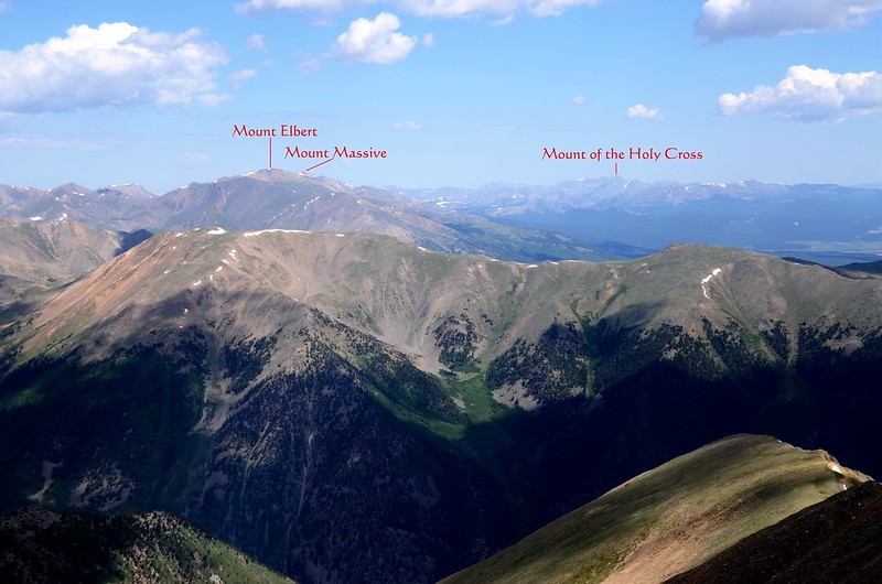
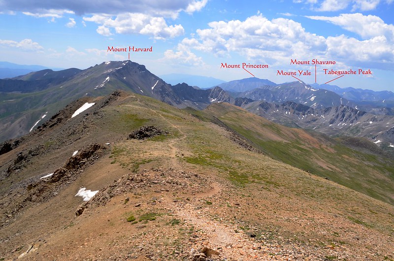
Looking southeast at Mount Harvard from Mount Belford's summit
View to the southeast from the summit of Mount Belford
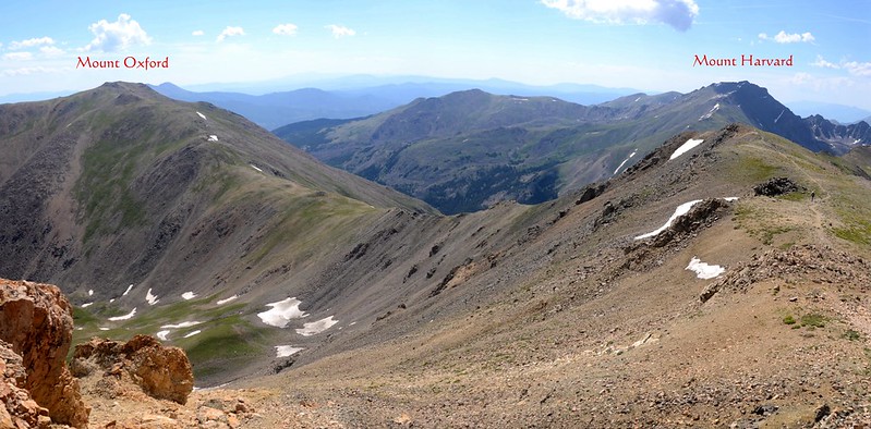
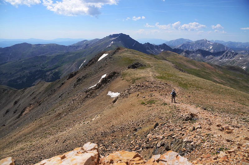
Looking southeast at the Oxford~Belford ridge from Mount Belford's summit

Looking west at Huron Peak from Mount Belford's summit
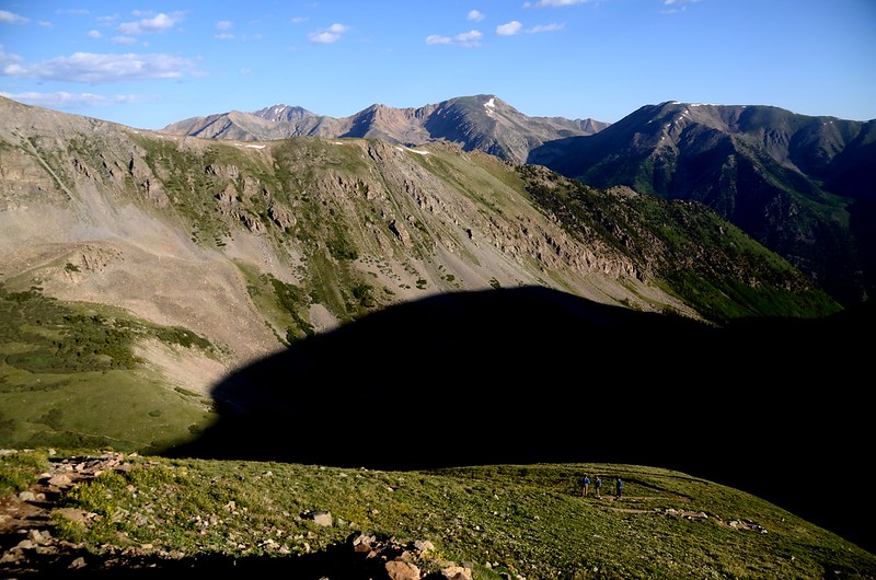
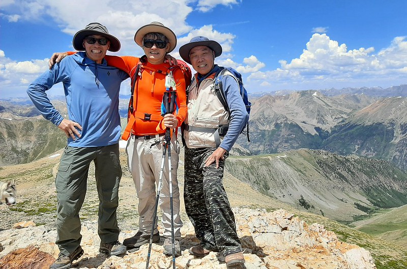
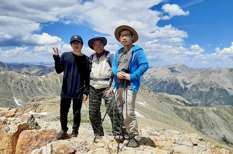
12:10 山友及孫子陸續回到Mount Belford,等他們稍事休息並拍照後下山。
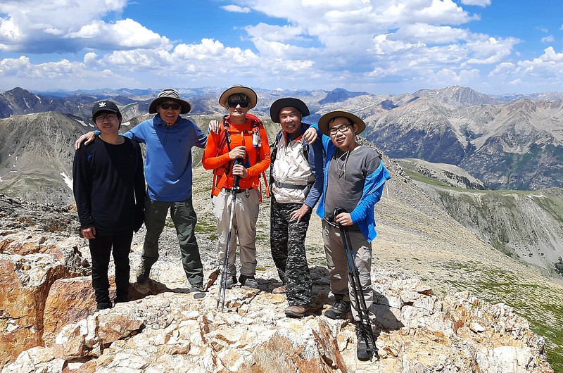

On the summit of Mount Belford
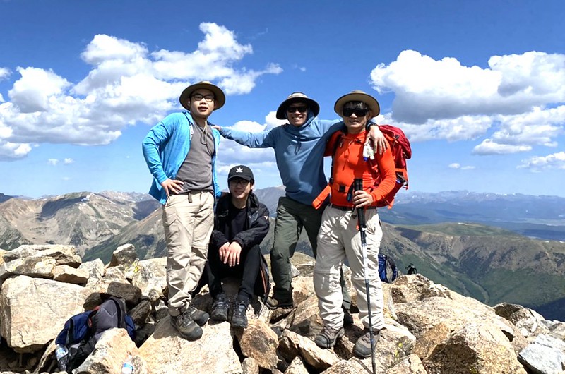
On the summit of Mount Oxford
12:35 啟程下山。
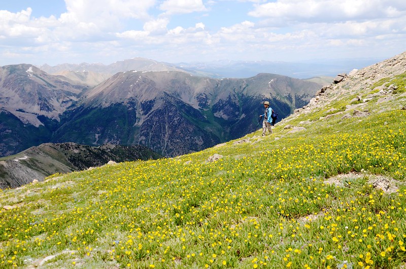
Wildflowers blooming along the trail
14:22 下抵Mount Belford西北稜山腳,過小溪後續行下山。
16:00 回到登山口整裝後由豆豆開車返家,結束一趟艱辛的登山行程。
此趟豆豆和貝貝各登了Mount Belford和Mount Oxford兩座14er,這也是豆豆第15、16座14er、貝貝的第9、10座14er。
Alltrails:Mount Belford & Mount Oxford Hiking Track (2021.07.09)
沒有留言:
張貼留言