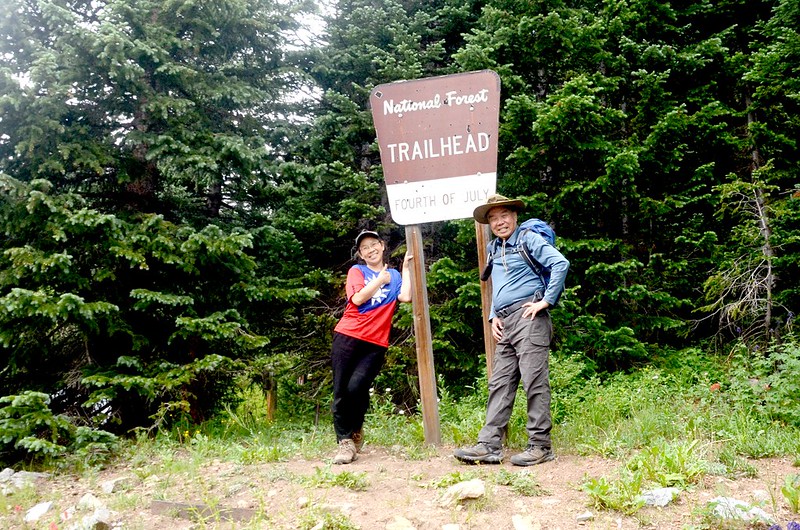
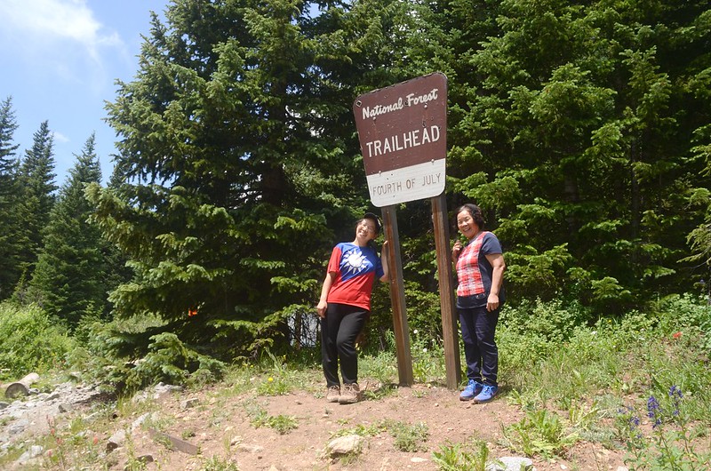
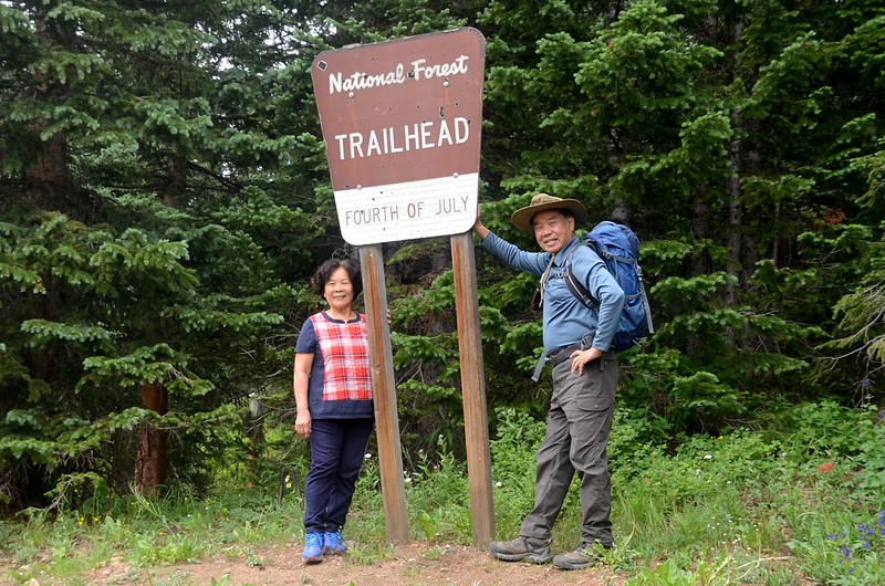
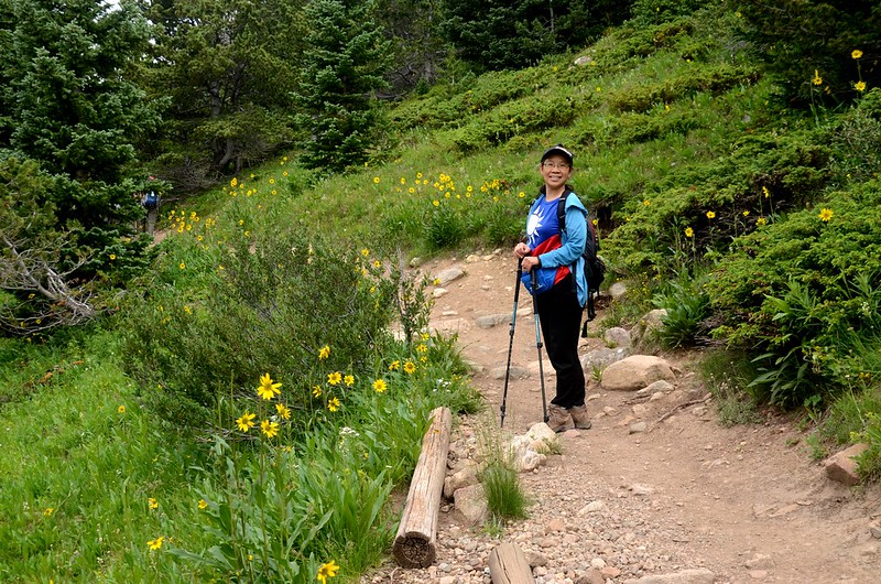
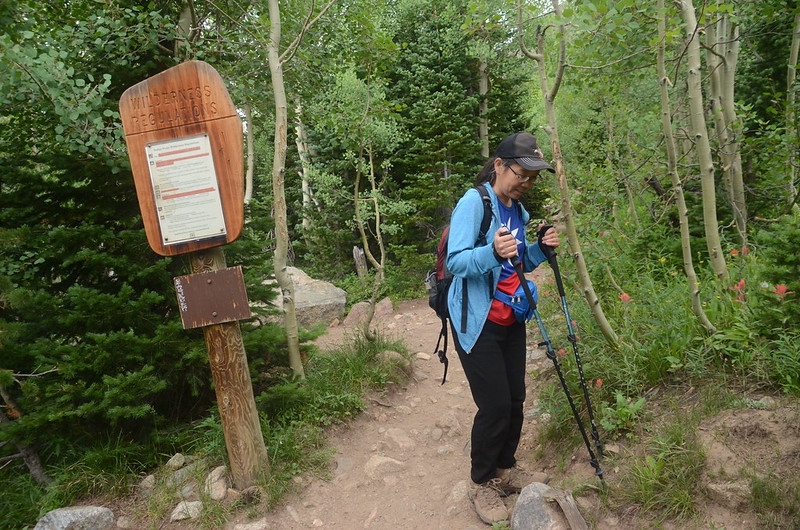
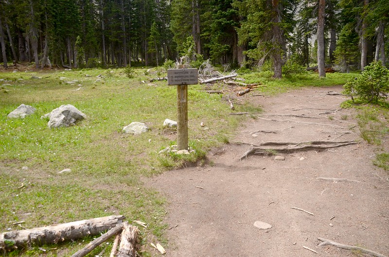
Fourth of July Trailhead
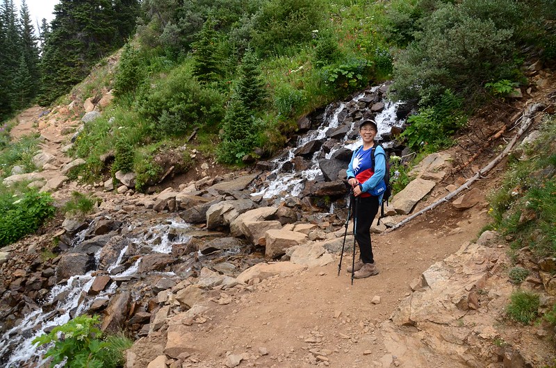
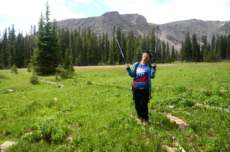
The Diamond Lake Trail位在Indian Peaks Wilderness範圍內,登山口是由Arapaho Pass Trail進入,Arapaho Pass Trail的登山口在靠近小鎮Nederland的Fourth of July Trailhead,該步道走過多次,今天帶老婆、女兒再度前往,老婆僅走半程,我和女兒走完全程。
-----------------------------------------------------------------------------
攀登湖泊:Diamond Lake,海拔10,958呎/3,340公尺
登山口:Fourth of July Trailhead,海拔9,974呎/3,040公尺
登山里程:往返5.72哩/9.2公里
總爬升高度:1,457呎/444公尺
登山時間:上下山費時4小時40分鐘
-----------------------------------------------------------------------------
行車資訊:
由Boulder開車沿CO 119 (Boulder Canyon Road)西南行往Nederland,車抵Nederland後左轉往南沿CO 119(CO 72,Peak To Peak )走0.5哩右轉,沿County Road 130往小鎮Eldora,過Eldora後再走約5哩多的石子路,路盡頭即為Fourth of July Trailhead,備有停車場,座標N39.99506° W105.63435°,海拔9,931呎/3,027公尺。
步程簡述:
08:30 登山口(Fourth of July Trailhead)出發;

Fourth of July Trailhead
此登山口是因Arapaho Pass Trail上頭有一舊礦場“Fourth of July Mine”因而命名。
Fourth of July Trailhead
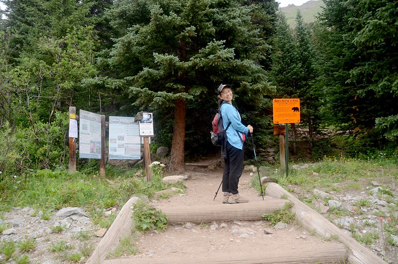
Diamond Lake Hike
08:53 通過Indian Peaks Wilderness Backcountry 告示牌,座標N39.99890° W105.63727°,海拔10,259呎/3,127公尺,距登山口0.4哩/650公尺;
Indian Peaks Wilderness Backcountry sign
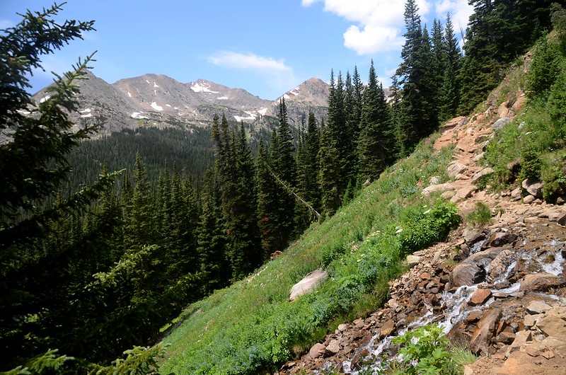
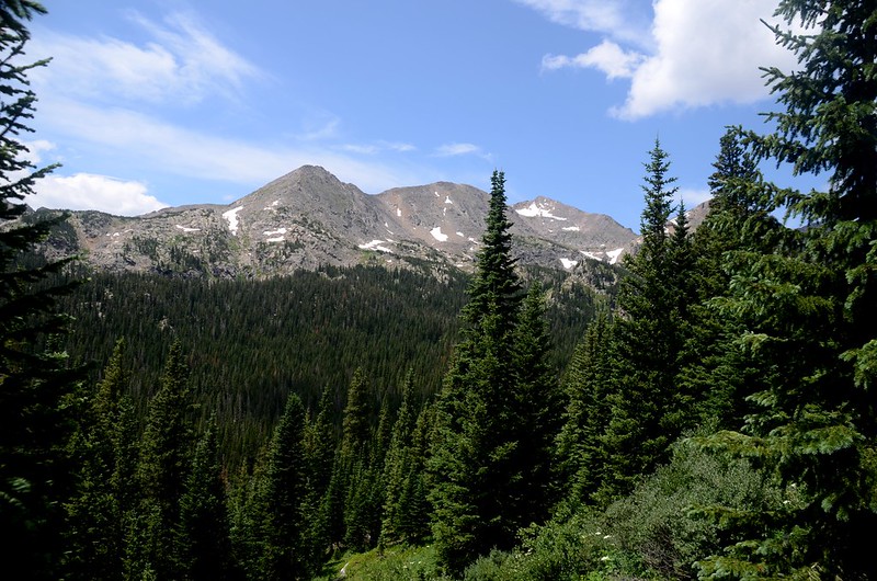
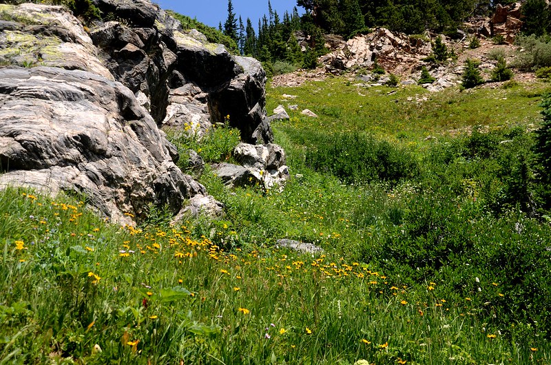
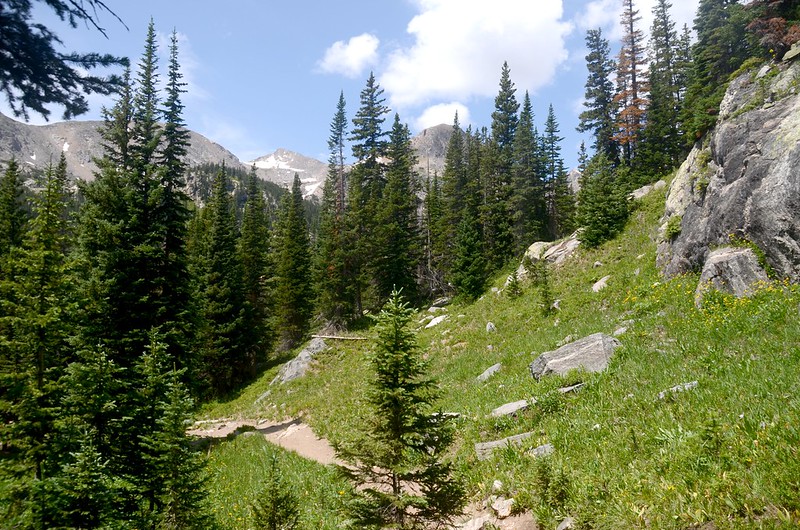
再行不久步道成“之”字形在杉林中盤升,穿出杉林後步道轉為平緩狹小,但視野寬闊可遠眺西南方向群山;
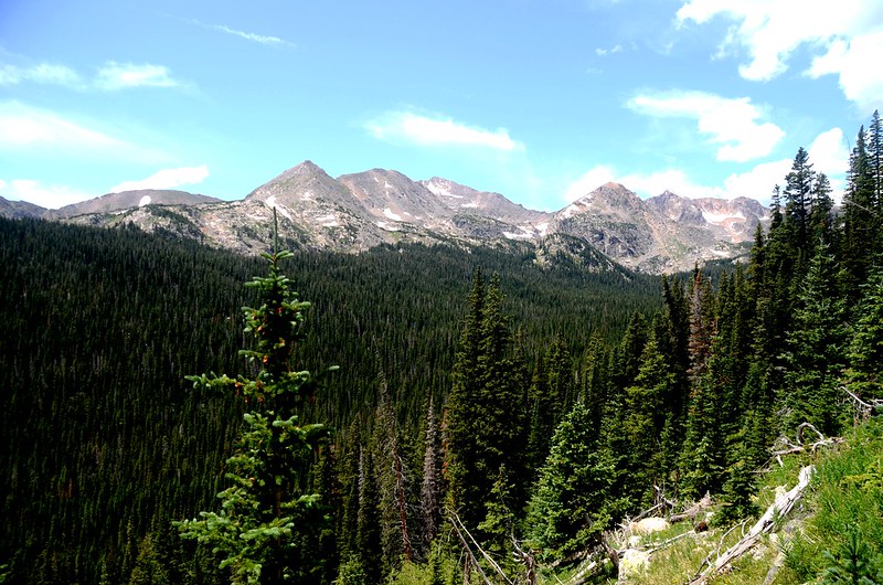
Mountain view from Arapahoe Pass Trail
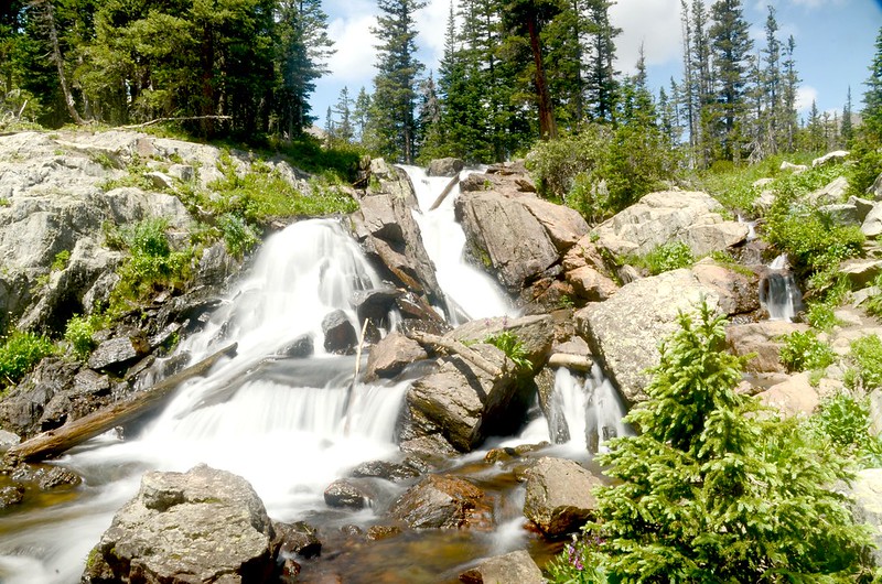
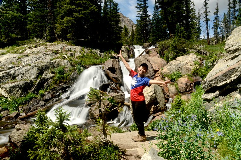
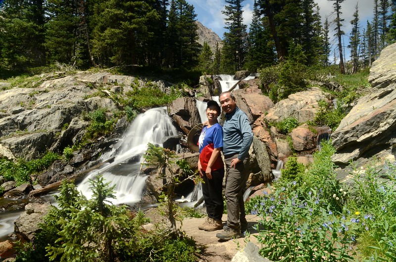
Diamond Lake出水口形成一串數百呎的垂瀑,懸掛在對面山谷上;
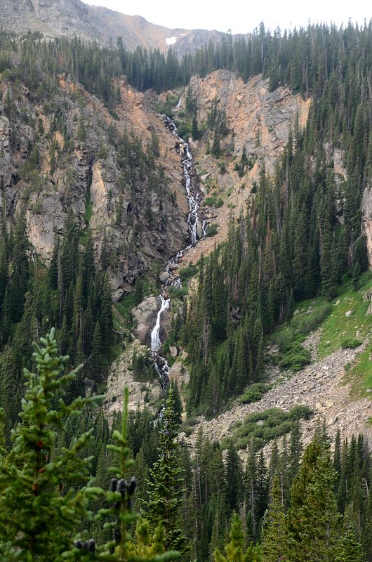
Overlooking a waterfall that Diamond Lake’s outlet
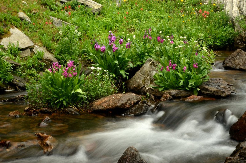
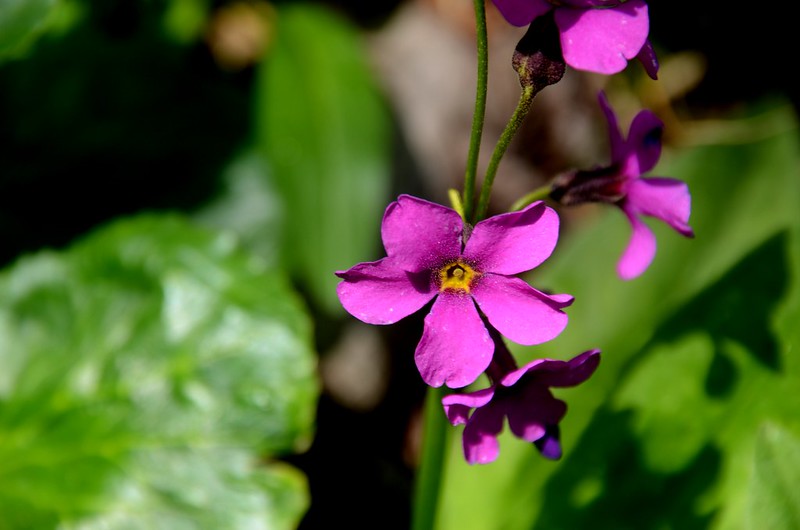
步道兩旁野花盛開。
Mountain death camas
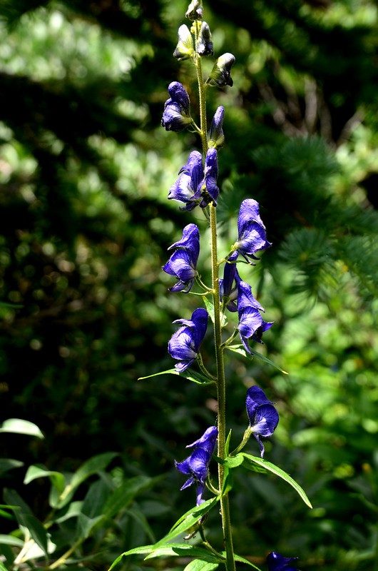

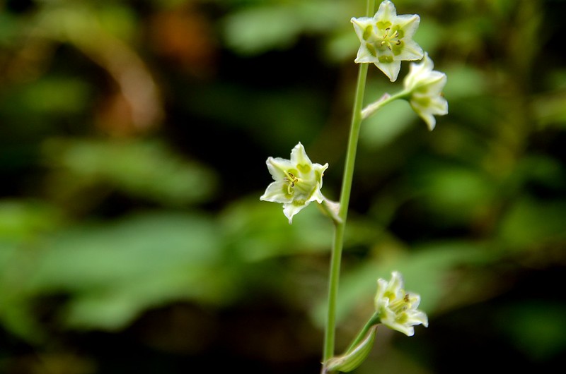
Monkshood flower
Indian Paintbrush flowers
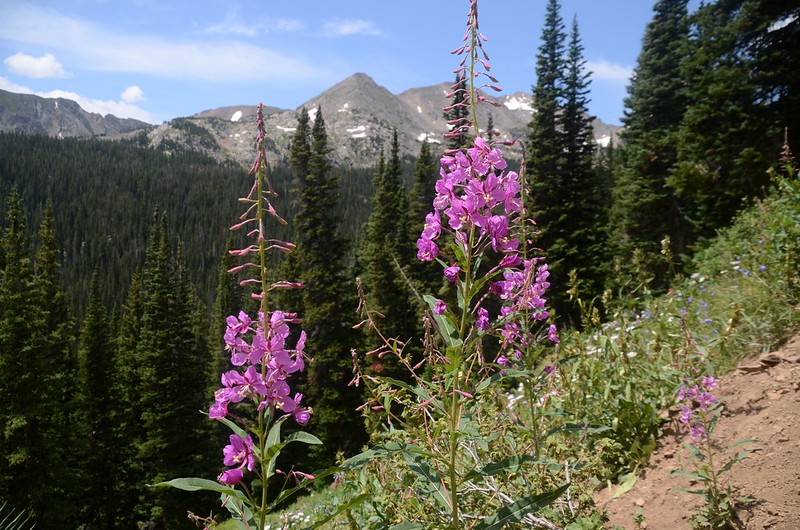
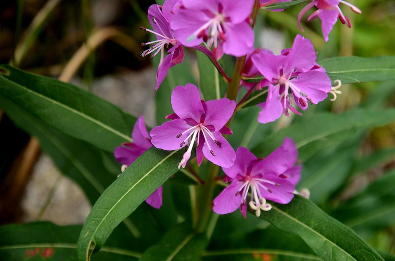
fireweed flower
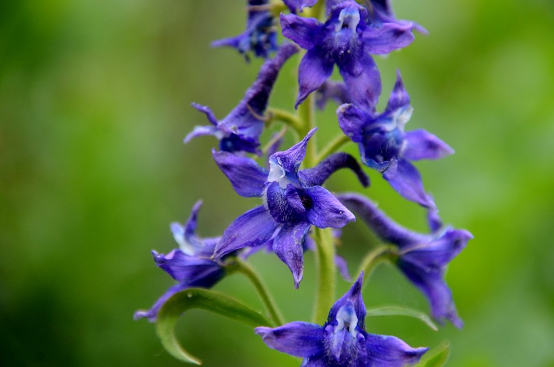
Early larkspur
09:16 經過一小溪澗,座標N40.00234° W105.64115°,海拔10,551呎/3,216公尺,距登山口0.87哩/1.4公里。

Waterfall stream on the Arapaho Pass trail
Mountain view from Arapahoe Pass Trail
11:23 過一處大溪澗,水量大、踩著墊腳石小心通過,座標N40.00325° W105.64373°,海拔10,617呎/3,236公尺,距登山口1.06哩/1.7公里。
Waterfall stream on the Arapaho Pass trail
Mountain view from Arapahoe Pass Trail
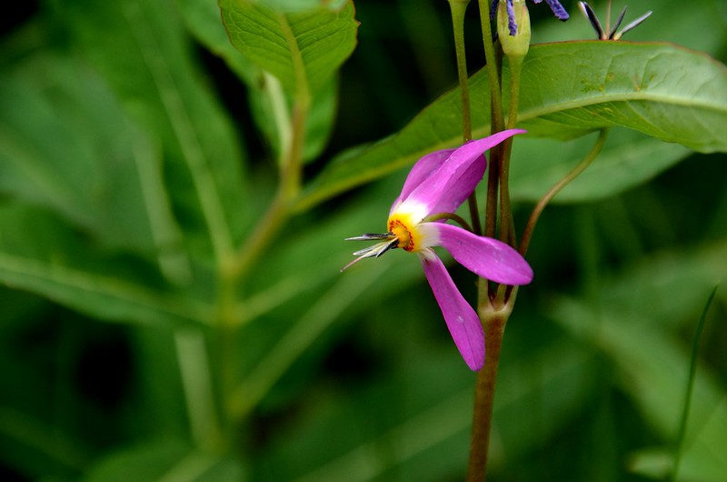
Shooting Star Flowers
09:37 抵達Arapaho Pass Trail與Diamond Lake Trail岔路,座標N40.00414° W105.64641°,海拔10,712呎/3,265公尺,距登山口1.24哩/2公里;

Diamond Lake & Arapahoe Pass Trail junction
右岔續行為Arapaho Pass Trail,取左岔Diamond Lake Trail下行。
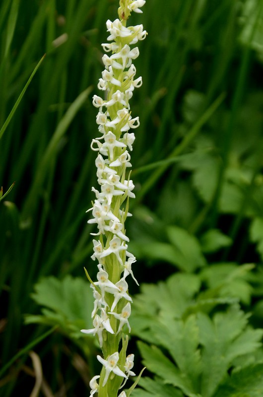
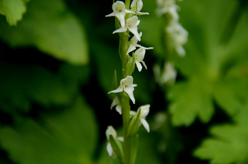
White Bog Orchid
Wildflowers blooming along the trail
Diamond Lake Hike
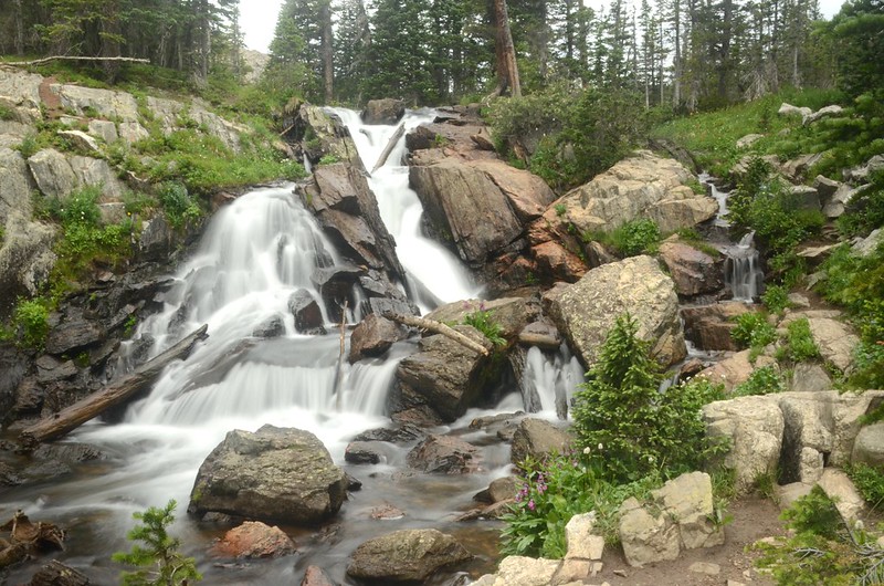
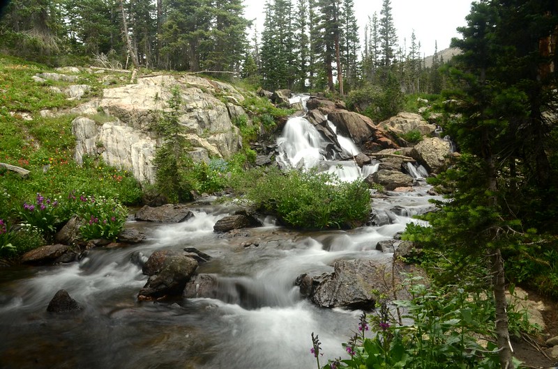
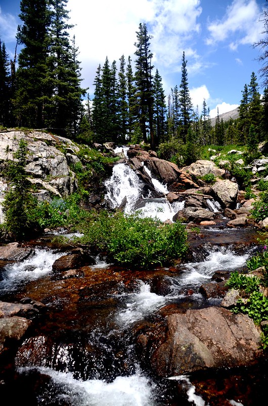
10:02 下抵North Fork Middle Boulder Creek,此處右上方有一處大流瀑,先往瀑布處休息賞瀑,座標N40.00341° W105.65413°,海拔約10,607呎/3,233公尺,距登山口1.86哩/3.0公里。
Perry Primrose
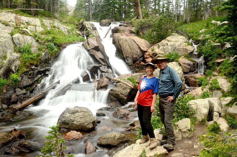
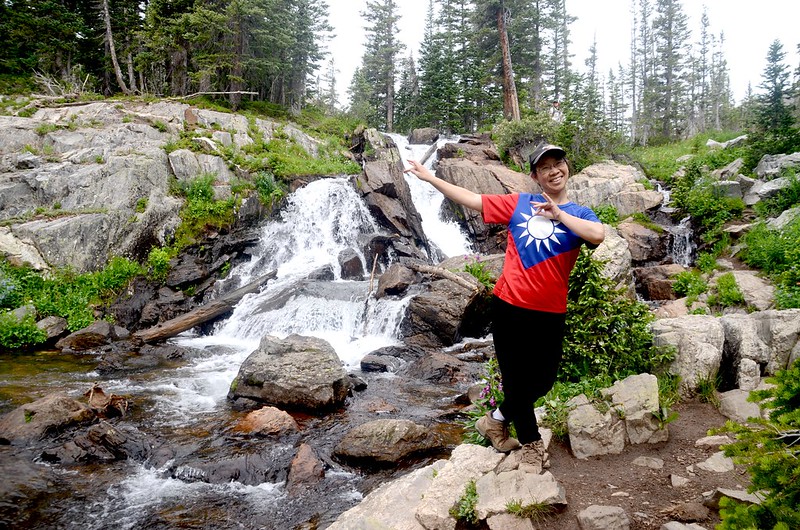
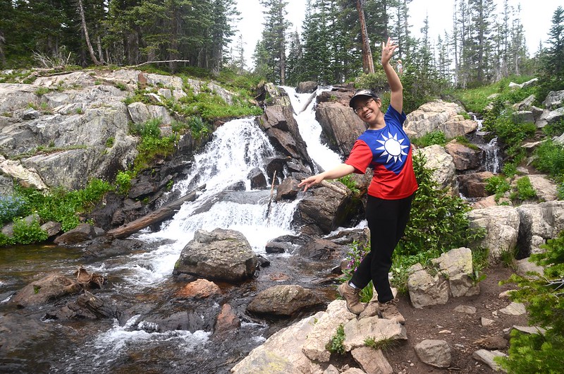
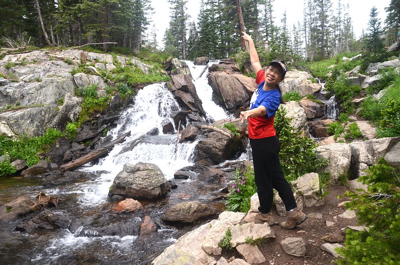

Waterfalls in the north fork of Middle Boulder Creek
10:24 續往Diamond Lake,先經過North Fork Middle Boulder Creek小河上架設的兩根大原木便橋後開始往東南緩坡爬升。
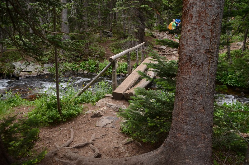
The log bridge across the North Fork Middle Boulder Creek
10:31 又過一架有原木便橋的小溪澗,座標N40.00181° W105.65239°,海拔10,581呎/3,225公尺,距登山口2.05哩/3.3公里;過此小溪澗後步道開始在森林中盤旋爬升。
10:59 抵達Diamond Lake前大草原,座標N39.99540° W105.64852°,海拔10,932呎/3,332公尺,距登山口2.73哩/4.4公里;
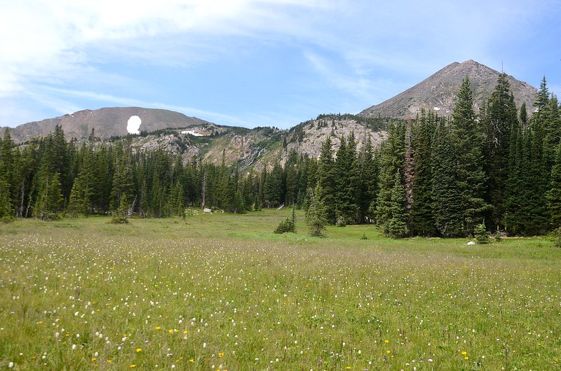
A large meadow Before Diamond Lake
大草原野花盛開。
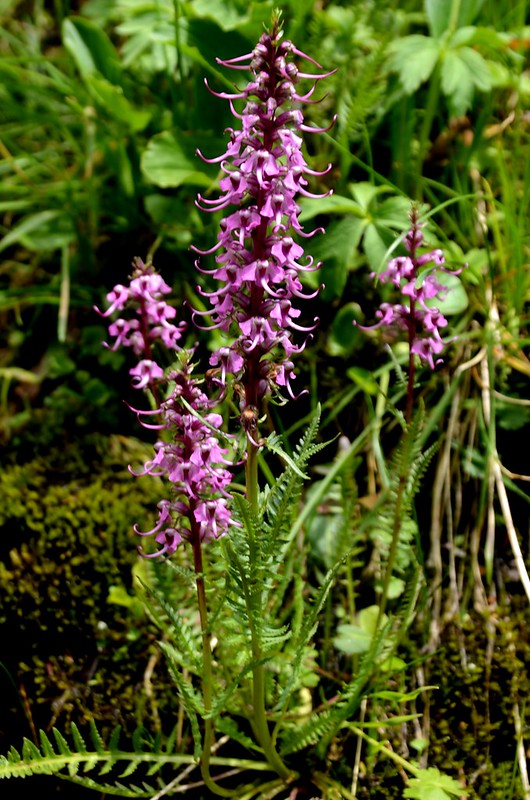
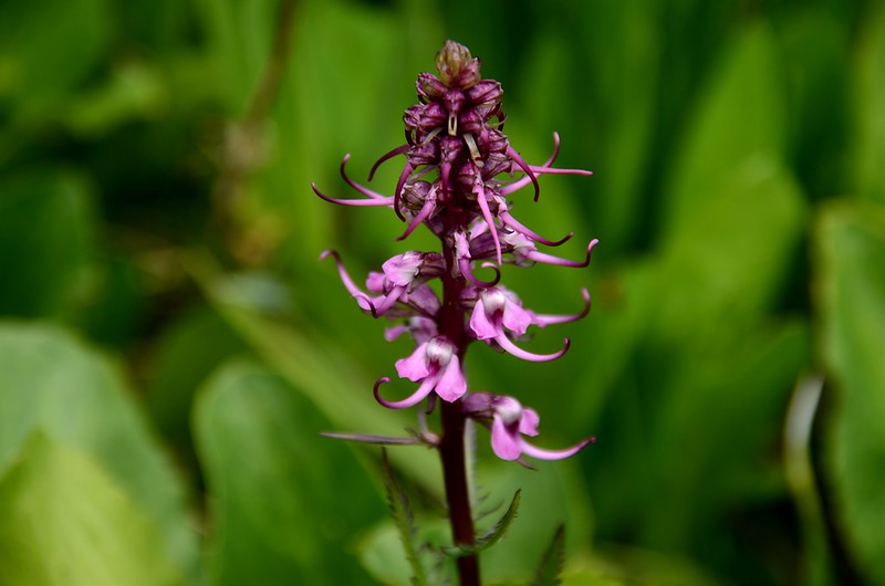
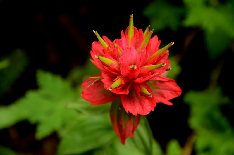
Elephant Head Flower
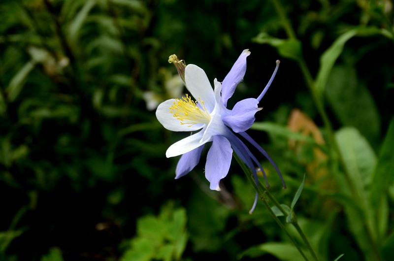
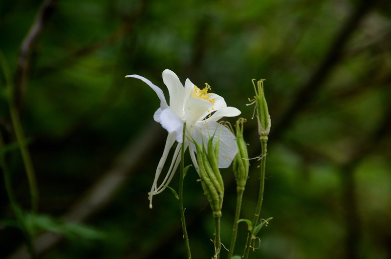
Blue Columbine
11:01 抵達Diamond Lake、Diamond Lake Trail、Devil’s Thumb Trail岔路,座標N39.99499° W105.64828°,海拔10,935呎/3,333公尺,距登山口2.77哩/4.45公里;
Devils Thumb Trail junction
左往Diamond Lake Trail、Devil’s Thumb Trail,取右往Diamond Lake。
11:03 抵達Diamond Lake,座標N39.99418° W105.64881°,海拔10,942呎/3,335公尺,距登山口2.8哩/4.5公里。
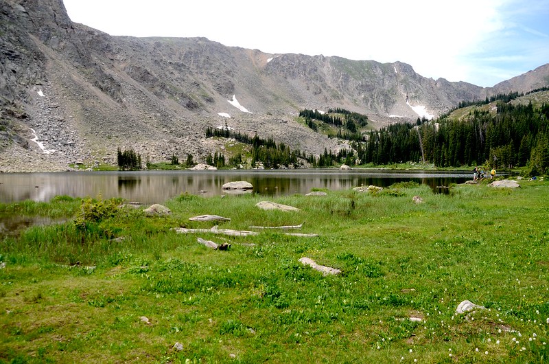
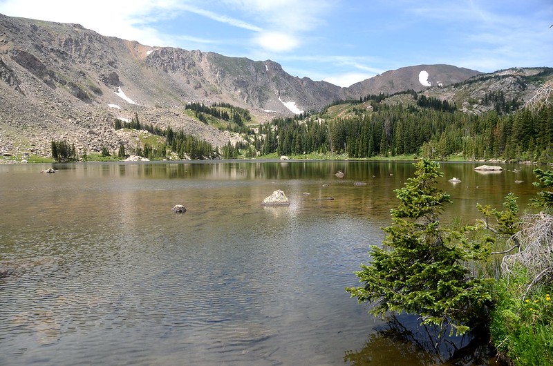
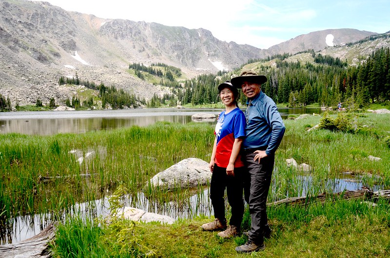
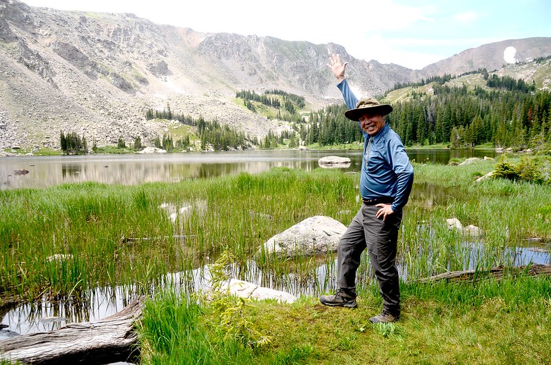
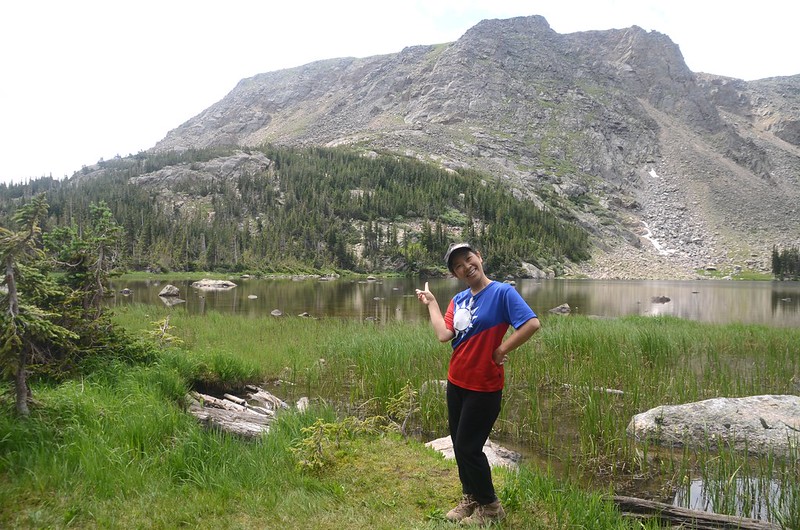
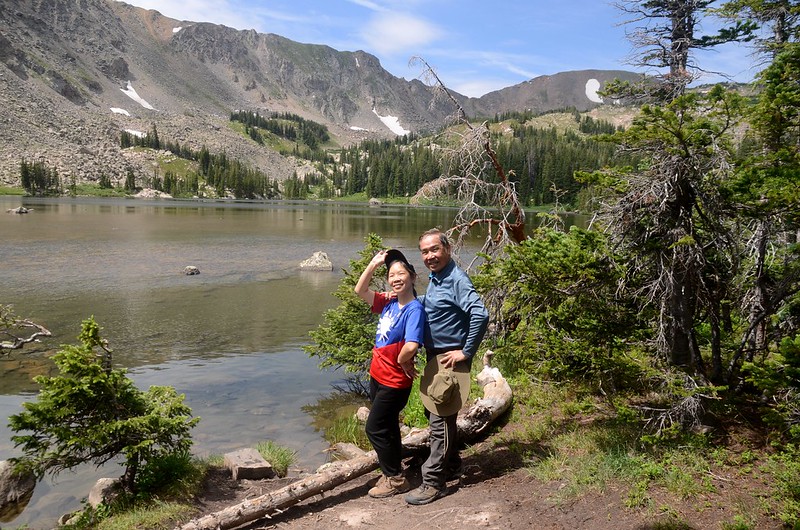
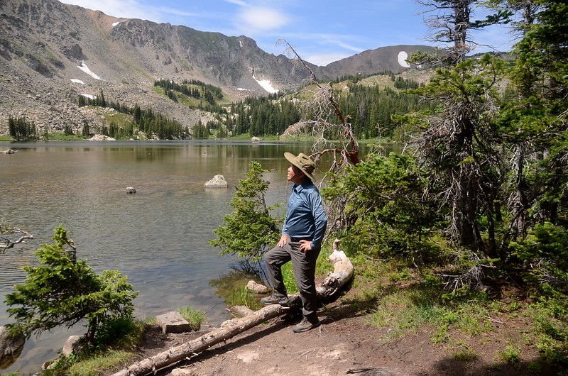
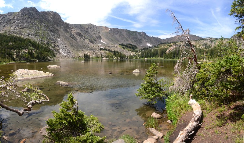
Diamond Lake
11:25 下山。
13:10 返抵登山口。
Alltrails:Diamond Lake Trail Hiking Track (2021.07.21)
沒有留言:
張貼留言