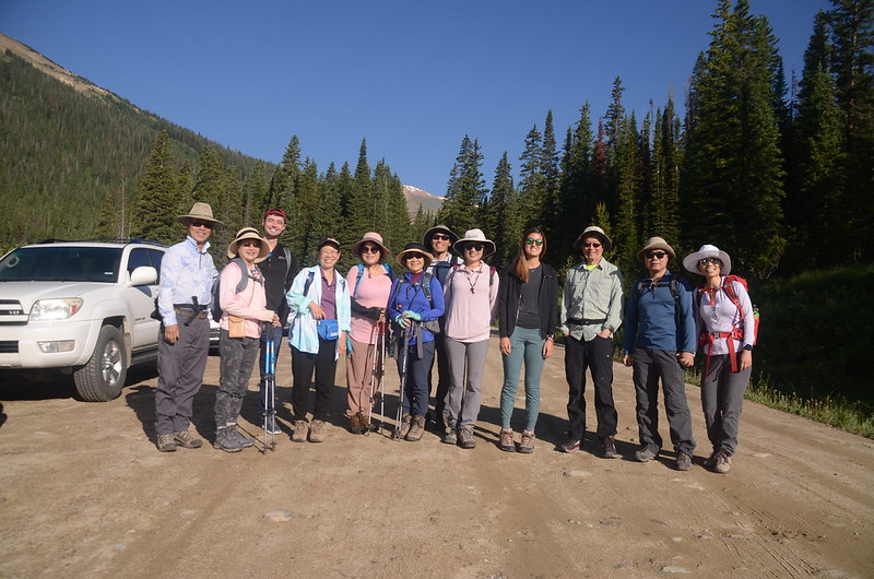
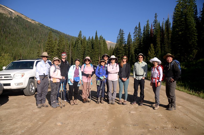
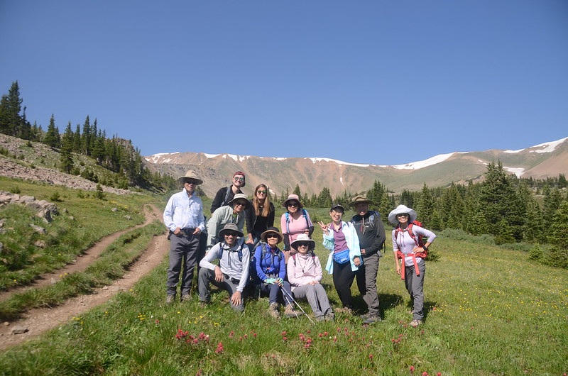
Butler Gulch Trailhead
Butler Gulch Trail 位在丹佛西邊I-70州際公路往Winter Park岔路US 40公路邊小鎮Empire附近的一條登山步道,沿途有小溪澗、流瀑及盛開野花,很適合登山健行,該步道除了夏季的登山健行外,也適合冬季的cross country skiing和 snowshoeing;該登山步道在兩年前曾和登山隊前去攀登,那次登山是6月底,整條步道積雪未融,是一趟刺激的雪攀之行,此趟也是登山隊安排,整條步道積雪已融,野花盛開,與上次登山是一全然不同的體驗。
-------------------------------------------------------
登山步道:Butler Gulch Trail
登山里程:6.84哩/11公里
總爬升高度:1,969呎/600公尺
登山時間:5小時57分
-------------------------------------------------------
行車資訊:
開車沿I-70州際公路西行,行至Exit 232出口下交流道,朝U.S. 40 E/Empire/Granby前進,0.3哩後接著走US-40 W直行,再行0.3哩後靠右繼續沿US-40 W西行,經Empire行約8.7哩於道路大右彎處靠左行駛進入Henderson Mine Rd,岔路前道路旁有紅底白字指示牌,指示牌標示“Big Bend,左往Jones Pass、Henderson Mine”; Henderson Mine Rd行約1.8哩後於Henderson Mine管制口前右轉土石路繼續西行,再行0.5哩後抵達Henderson Spur Trailhead停車場,座標N39.77093° W105.85405°,海拔10,312呎/3,143公尺;停車場北側是Henderson Spur Trail登山口,停車場續往西行則是Butler Gulch Trail和Jones Pass登山口。

Looking south at Henderson Mine from Jones Pass Parking Lot
步程簡述:
08:10 停車場出發,沿著石子路續往西行。
Butler Gulch Trailhead

Jones Pass Trailhead
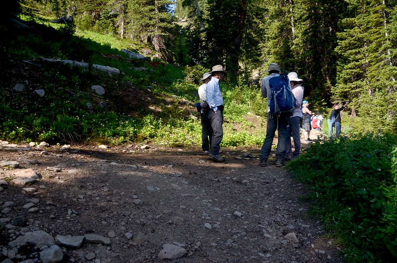
08:17 抵達Butler Gulch Trail和Jones Pass Trail岔路口,右岔尚可行駛四輪傳動車石子路為Jones Pass Trail,取左岔Butler Gulch Trail繼續西行,此處座標N39.77199° W105.85819°,海拔10,417呎/3,175公尺,距停車場約0.25哩/400公尺;岔路口行50公尺即有一道鐵柵門擋住去路禁止車輛通行。

Butler Gulch Trail Hike
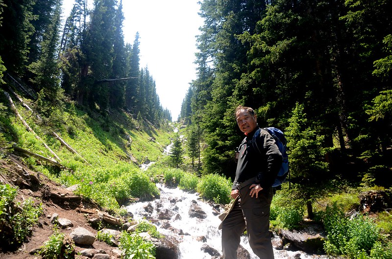
繞過鐵柵門續行不遠道路越過West Fork Clear Creek後轉向南行,行不遠步道開始進入雲杉(spruce),冷杉(fir)和白楊木(aspen)的混合森林中穿行。

Butler Gulch Trail Hike
08:41 遇一條小溪澗,座標N39.76395° W105.85948°,海拔10,715呎/3,266公尺,距停車場約1.0哩/1.6公里;

Creek
跨過小溪澗後沿步道續行。
08:47 遇第二條小溪,座標N39.76127° W105.86050°,海拔10,750呎/3,277公尺,距停車場約1.24哩/2.0公里;
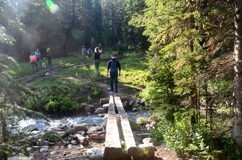
Stream crossing by log bridge
小溪上橫跨著兩根大原木用以渡溪,渡溪後仍沿寬敞的步道往南爬升。

Butler Gulch Trail Hike

Columbine
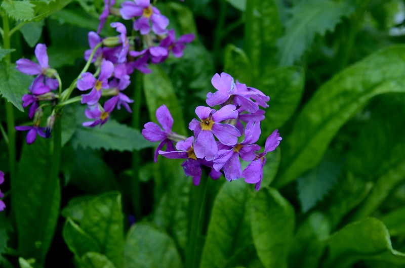
Parry Primrose
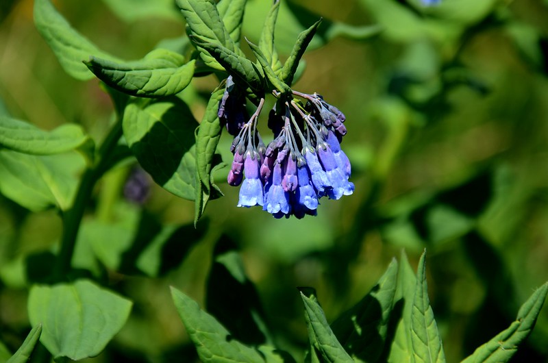
Chiming Bells
09:14 抵步道一岔路處,座標N39.75560° W105.86221°,海拔11,132呎/3,393公尺,距停車場約1.74哩/2.8公里;
Butler Gulch Trail Hike
岔路右行20公尺有一條小溪,小溪由上而下形成一條壯觀的流瀑,左岔是登山步道;我們先右轉到小溪處拍照欣賞流瀑後再沿步道上行。

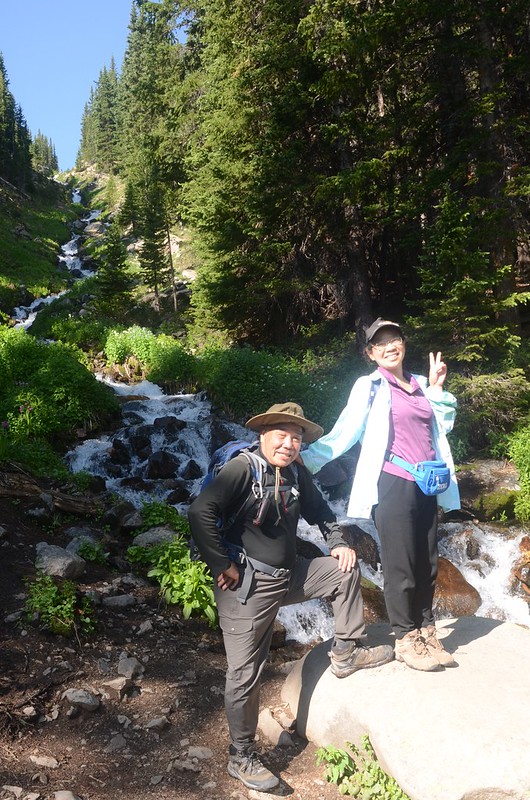
Cascading water along the trail

Butler Gulch Trail Hike
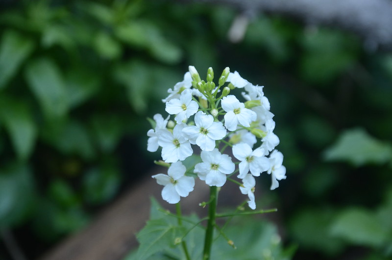
Bitter Cress (Brook Cress)
09:34 出森林線,座標N39.75408° W105.86105°,海拔11,345呎/3,458公尺,距停車場約2.05哩/3.3公里;

Butler Gulch Trail Hike
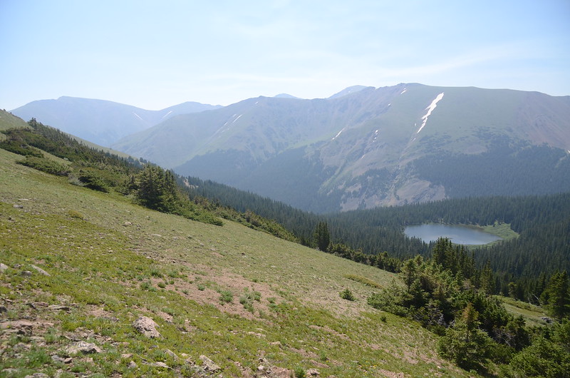
此處已接近步道終點圈谷下方,西北望積雪的Continental Divide;

View to the west as the trail breaks out of the trees
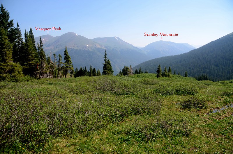
北望海拔12,940 呎/3,944公尺的Vasquez Peak以及海拔12,530 呎/3,819公尺的Stanley Moun tain;

View to the north as the trail breaks out of the trees
Taken from just above the treeline (11,476')

Butler Gulch Trail Hike
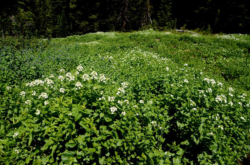
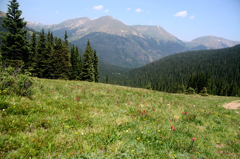
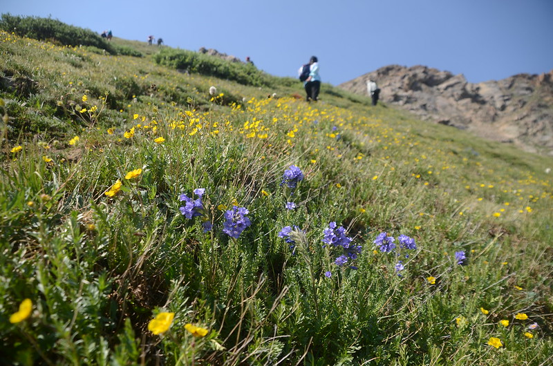
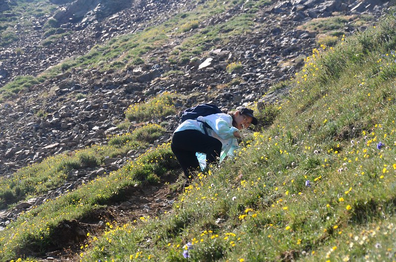
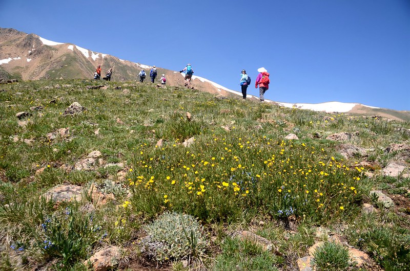
寬闊的苔原地則野花盛開,在苔原地小休賞景。
Taken from just above the treeline (11,476')
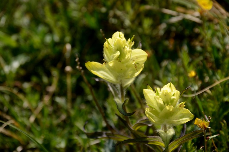
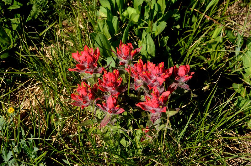
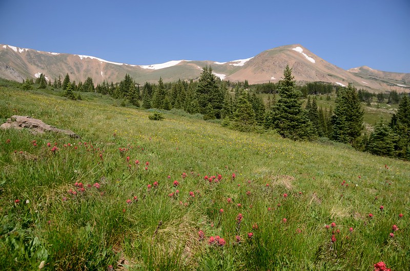
Paintbrush flowers
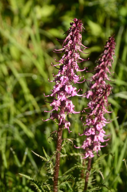
Elephant Head Flower
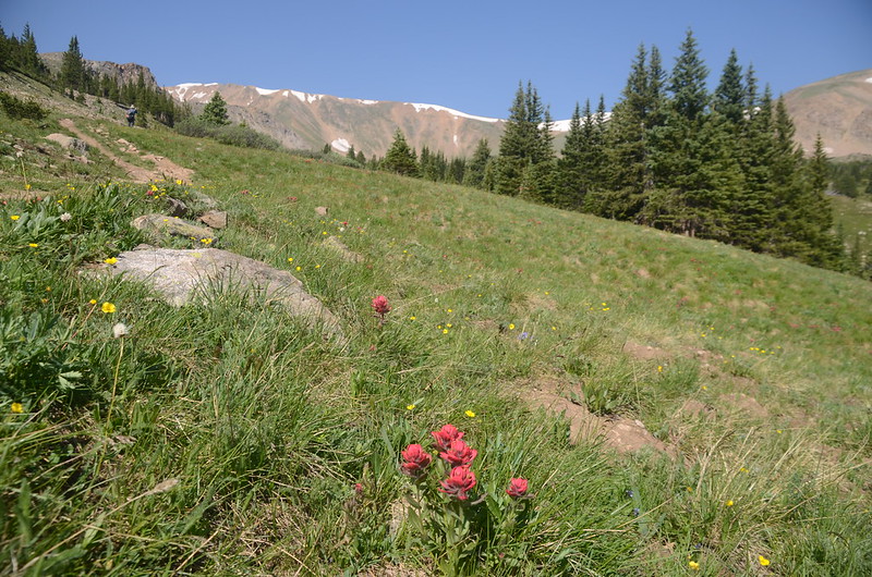
Taken from just above the treeline (11,520')
View to the north from Butler Gulch Trail near 11,600'
10:04 抵左側一小岔路,座標N39.75241° W105.86581°,海拔11,598呎/3,535公尺,距停車場約2.36哩/3.8公里,前方約1~20公尺有一條小溪;右岔直行明顯路徑是正規的Butler Gulch Trail,上行約0.59哩/950公尺可抵達步道終點~一處礦場遺址,左岔一不明顯路跡爬上小草坡有路徑通往左上方稜線,品菁領隊計畫走一O形路線,我們取左岔上行。


Butler Gulch Trail Hike
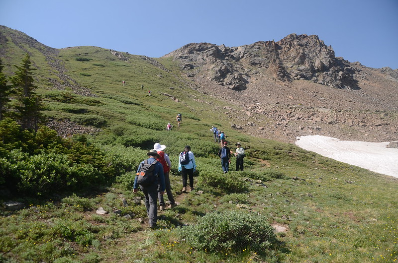
10:17 小徑穿過一片小樹叢後來到稜線下陡坡山腳,座標N39.75138° W105.86694°,海拔11,703呎/3,567公尺;
Butler Gulch Trail Hike
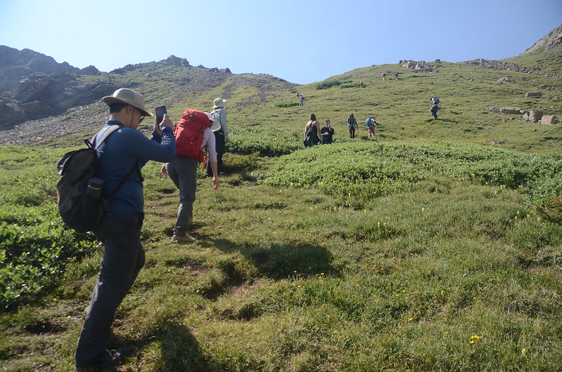
前面面對的是一段大陡坡,陡坡草地野花盛開著,大夥兒手腳並用地往稜線爬升。

Butler Gulch Trail Hike
10:30 登上圈谷南緣稜線,座標N39.75025° W105.86706°,海拔11,936呎/3,638公尺,距停車場約2.67哩/4.3公里;
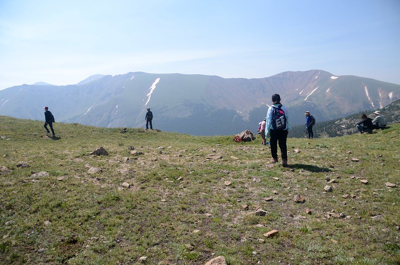
Taken from the ridge above the bowl (11,936')
在稜線上休息賞景。
Taken from the ridge above the bowl (11,936')
Taken from the ridge above the bowl (11,936')

Sky Pilot
Taken from the ridge above the bowl (11,936')

View to the northeast from Butler Gulch Trail ridge near 11,955'
11:00 續行,沿稜線朝西緩坡上行。

View to the northeast from Butler Gulch Trail ridge near 12,020'

View to the southeast from Butler Gulch Trail near 12,060'

Alpine Sunflower(Old Man of the mountain)


Butler Gulch Trail Hike

Butler Gulch Trail Hike
Butler Gulch Trail Hike
11:26 步道取右朝圈谷下切,座標N39.74948° W105.87377°,海拔12,178呎/3,712公尺。

Descend from the ridge

View to the northeast from Butler Gulch Trail near 12,165'

Butler Gulch Trail Hike
11:38 下抵圈谷,沿著圈谷邊緣北轉東行。
11:46 經過一處小型礦場遺址,座標N39.75188° W105.87813°,海拔12,067呎/3,678公尺。

Old mine ruins
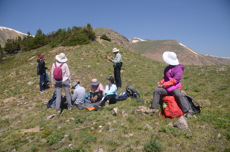
11:50 抵一處小溪澗對面空地休息午餐,座標N39.75260° W105.87587°,海拔11,978呎/3,651公尺。

Butler Gulch Trail Hike
12:12 續行,跨過小溪澗行數十公尺抵一岔路,右岔直行下山,左岔往礦場遺址,取左行。
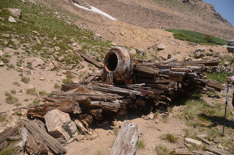
12:19 抵礦場遺址,座標N39.75429° W105.87415°,海拔11,919呎/3,633公尺;

Old mine ruins
此礦場遺址遺留部分早期礦區機具,含一條完整的鐵軌。
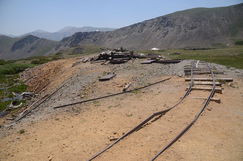
Old mine ruins

Old mine equiment
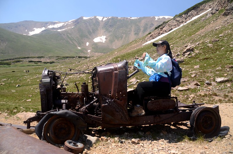
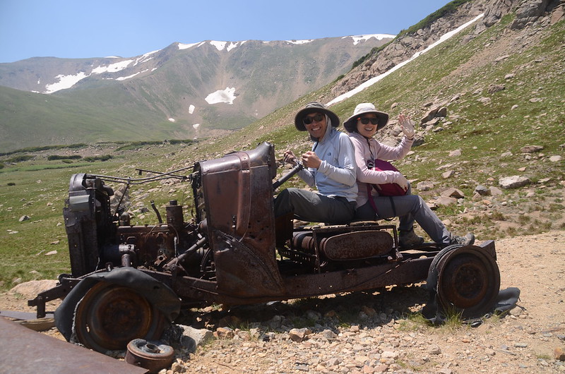

Playing with an old car
12:27 出發下山。

Butler Gulch Trail Hike
12:42 跨過一條小溪澗,座標N39.75271° W105.86720°,海拔11,657呎/3,553公尺。
12:46 跨越Butler Gulch Creek,座標N39.75246° W105.86631°,海拔11,634呎/3,546公尺。

Butler Gulch Creek
12:47 抵達右往稜線的步道岔路,取左直行下山。
13:07 返抵小溪流瀑岔路,補拍幾張照片後續行下山。
14:08 返抵登山口,整裝後開車返家。
Alltrails:Butler Gulch Trail track (2021.07.10)
沒有留言:
張貼留言