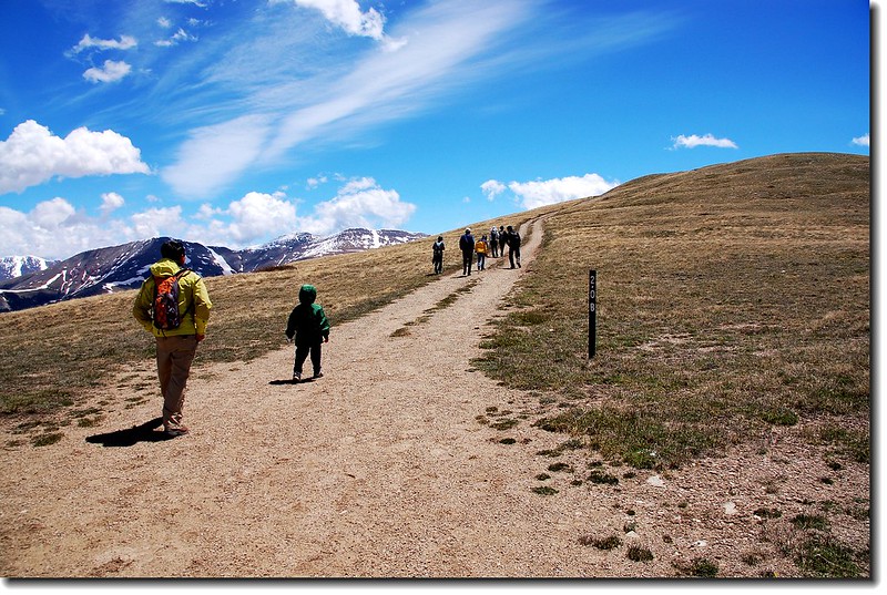
上週和女兒家人到丹佛西邊約100哩處的滑雪勝地Breckenridge小鎮度假,同行者有George夫婦和Thomas夫婦,三家人合租一棟度假屋,享受一個愉快的假期。週六又有三位教友偉強、Anne和Stacey從丹佛趕過來,大夥兒聚集後齊往Hoosier Pass Loop Trail爬山。
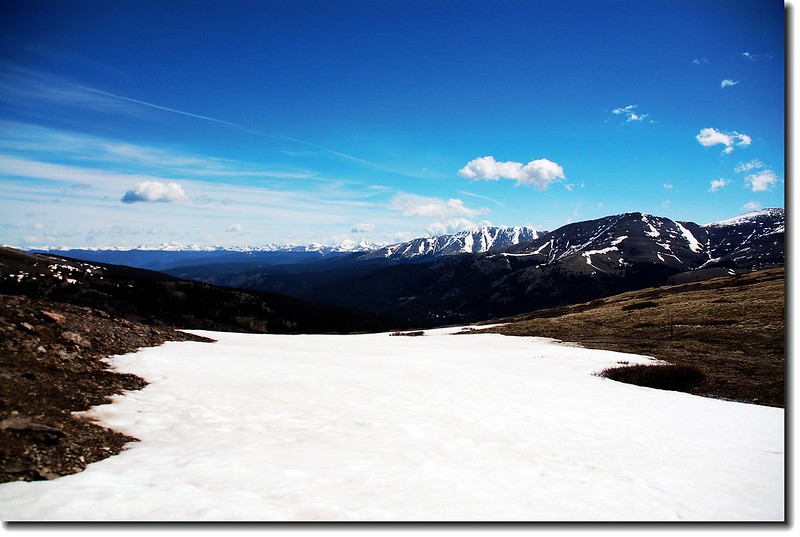
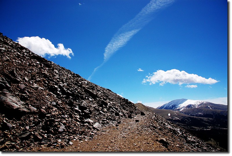
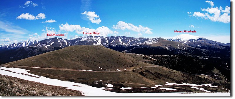
Hoosier Pass Loop Trail登山口位在Breckenridge南邊約9哩處的Hoosier Pass 最高點,這裡也是攀登North Star Mountain(海拔13,614 ft / 4,150 m)的登山口,其實Hoosier Pass Loop Trail就是攀登North Star Mountain的前半段。真正的Hoosier Pass Loop全程約3哩,爬升高度約700呎,全程步道寬敞、展望良好,但一路都是曝露在陽光底下,毫無遮蔭,宜做好防曬準備。
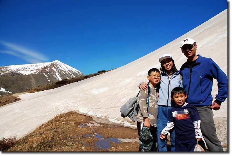
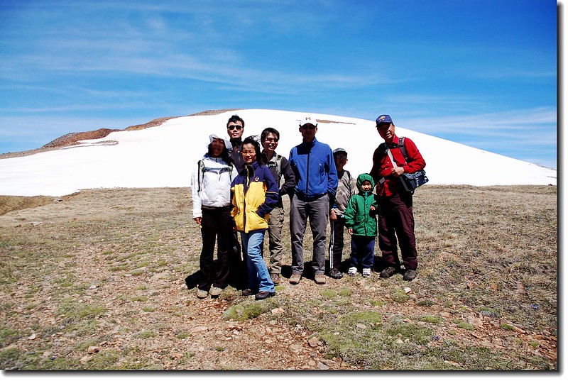
登山人員:george & Bianca、Thomas(Amy身懷六甲,在度假屋休息),偉強、Anne、Stacey、我們家人(6)一行共12人。
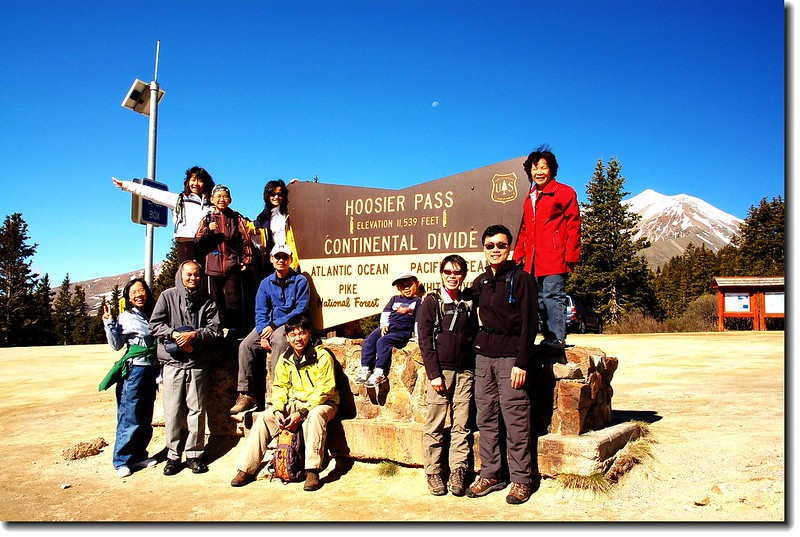
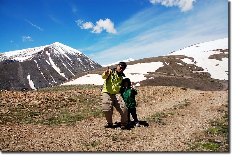
我們於上午9點左右抵達登山口,晴空萬里,是個登山的好日子。(太座不認為)
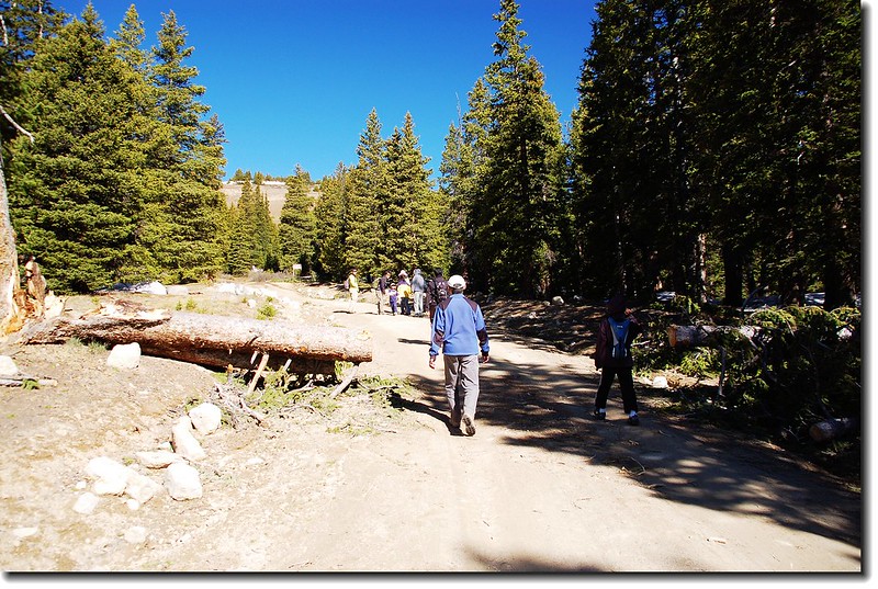
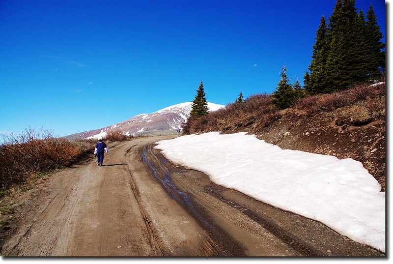
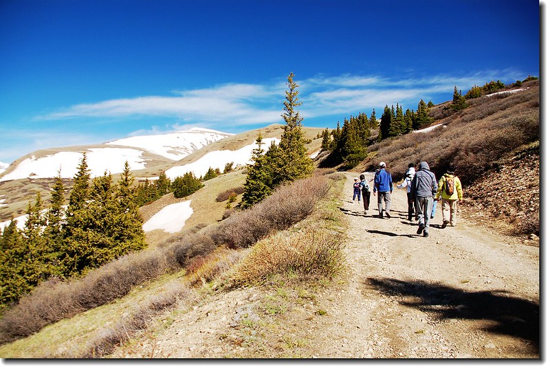
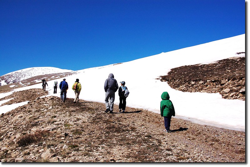
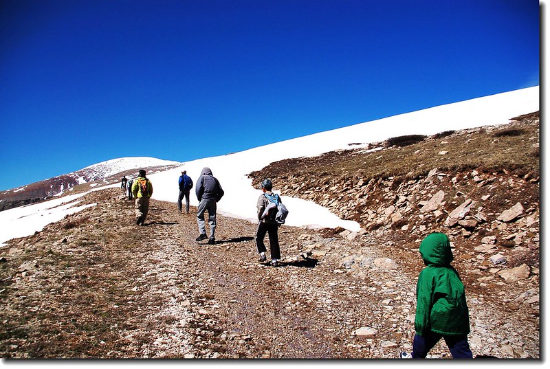
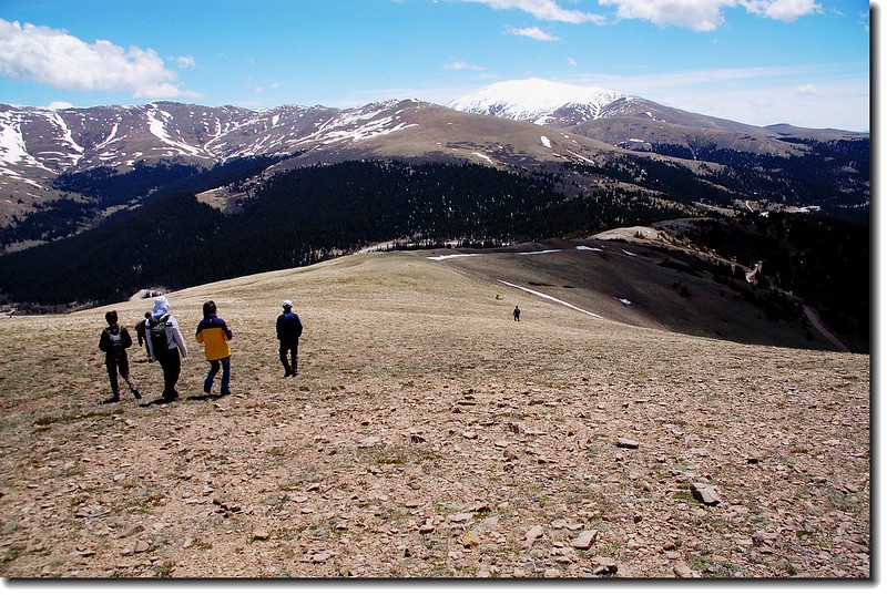
09:15 登山口(海拔11,539呎/3,517公尺)出發。此趟行程有將近一半步道是走在寬敞的舊時採礦大道上。
Hoosier Pass Loop Trail
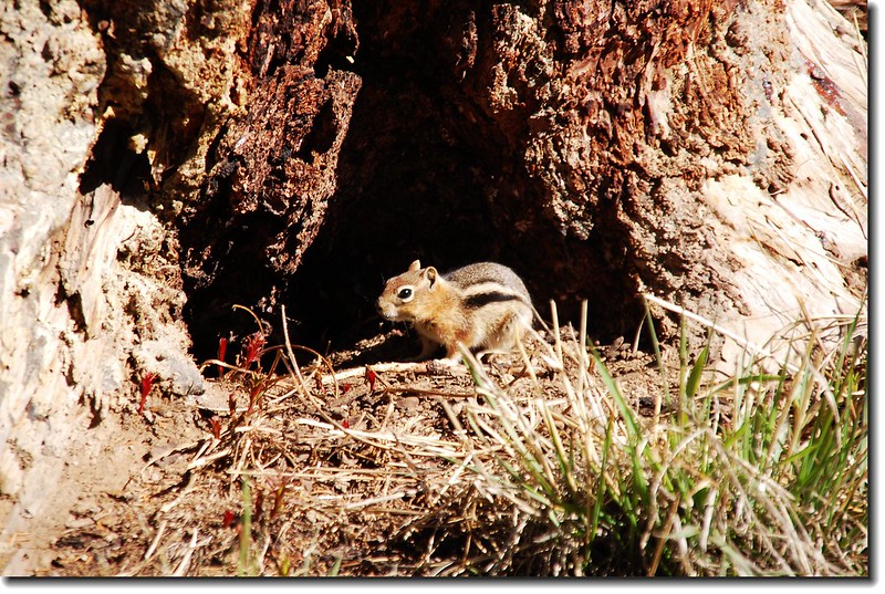
Chipmunk
09:20 右岔土泥路,取直行。回首東望Hoosier Ridge積雪已融。
A view up the main trail
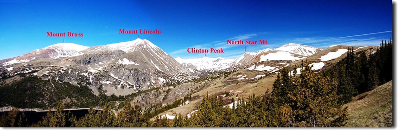
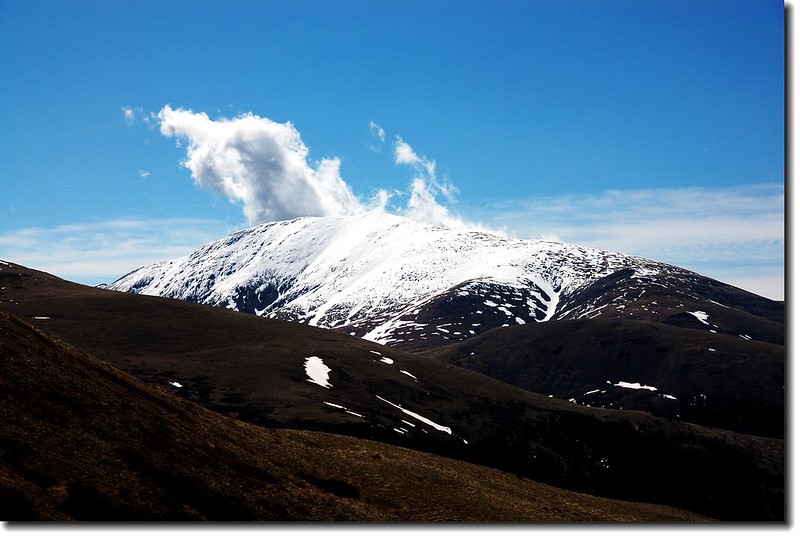
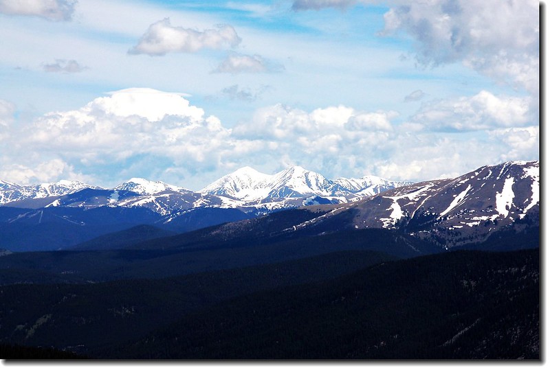
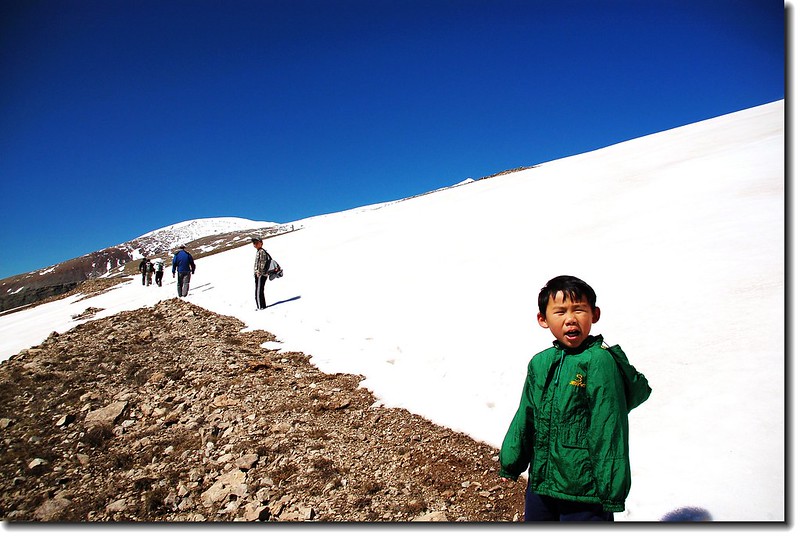
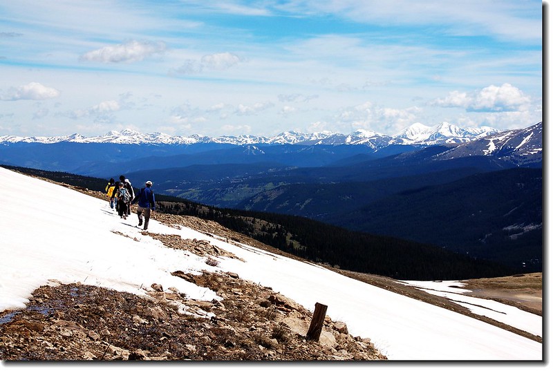
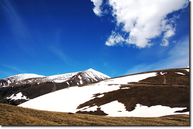
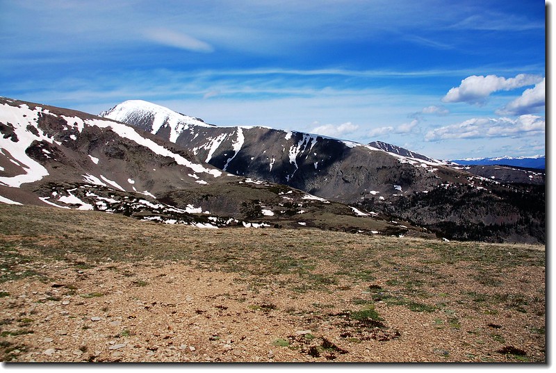
09:22 兩座14ers--Mount Lincoln和Mount Bross出現在路盡頭遠方,登上那兩座山頂已是兩年前的事了。
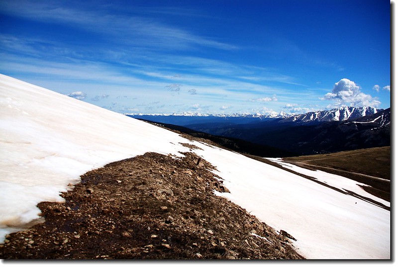
09:26 到達路轉彎處,往下可看清楚整條Platte Gulch,Gulch盡頭是Traver Peak、McNamee Peak和Clinton Peak,Gulch右側則是North Star Mountain。Montgomery Reservoir則橫躺在Mount Lincoln的山腳下。
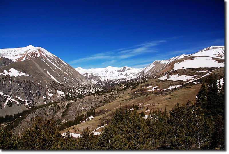
Mountain view(Lincoln,Traver,McNamee,Clinton,North Star)
Mt. Bross (on left) and Lincoln (on right).
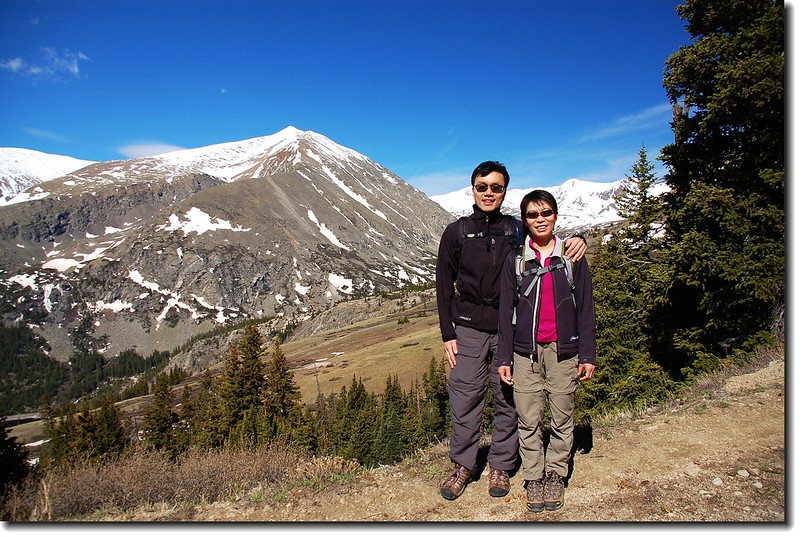
Thomas
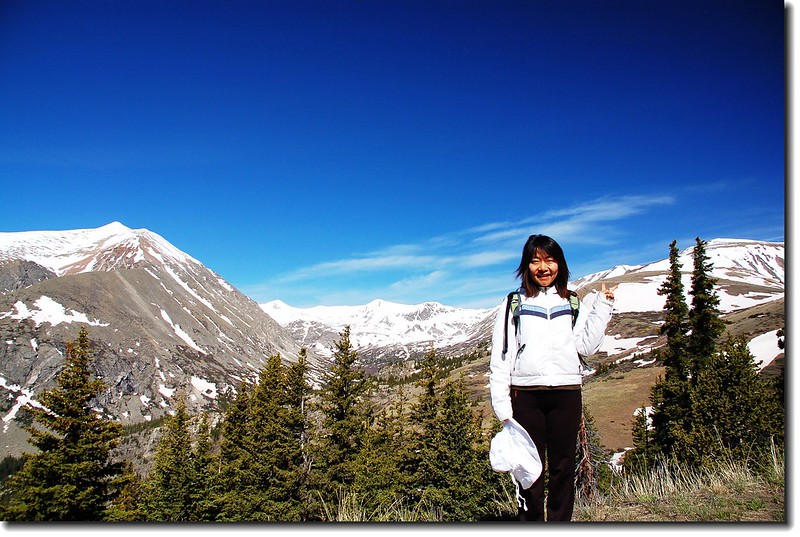
Stacey
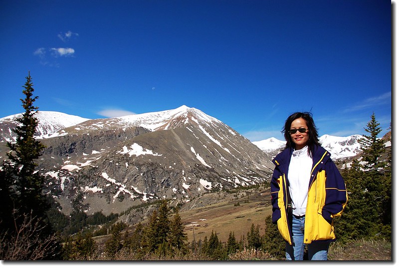
Anne
George & Bianca
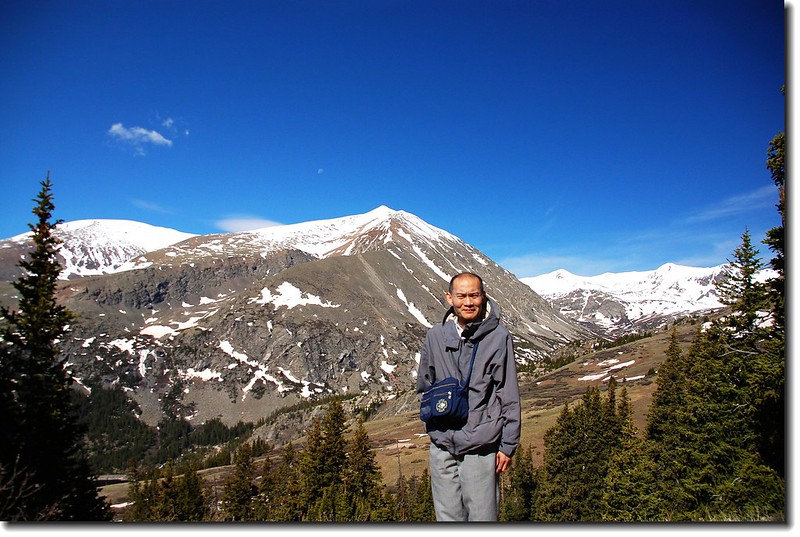
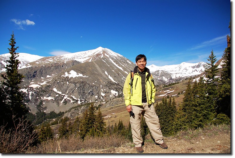
偉強
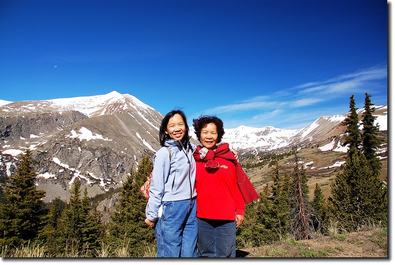
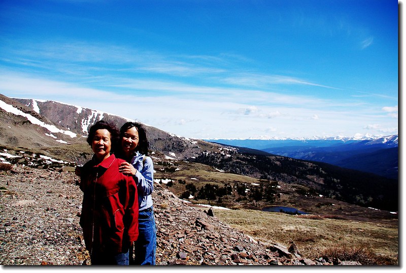
母女檔
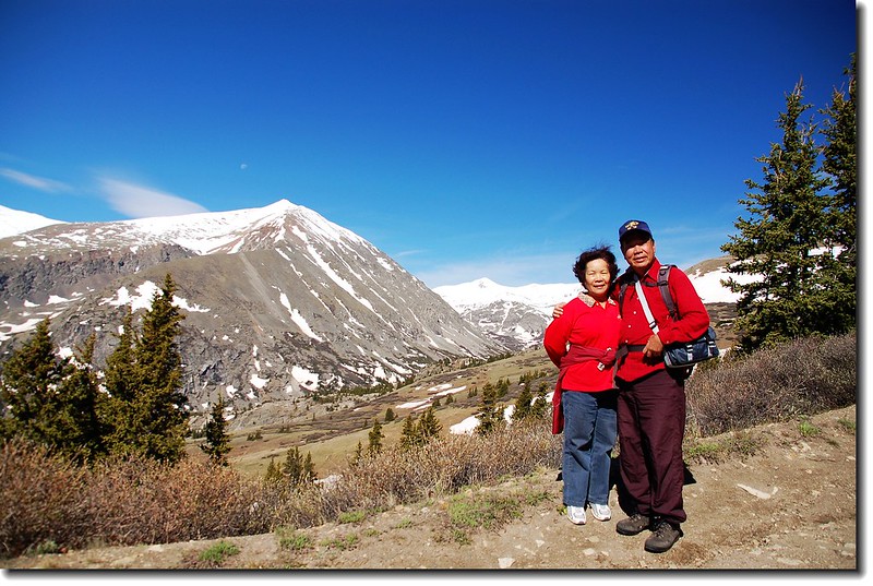
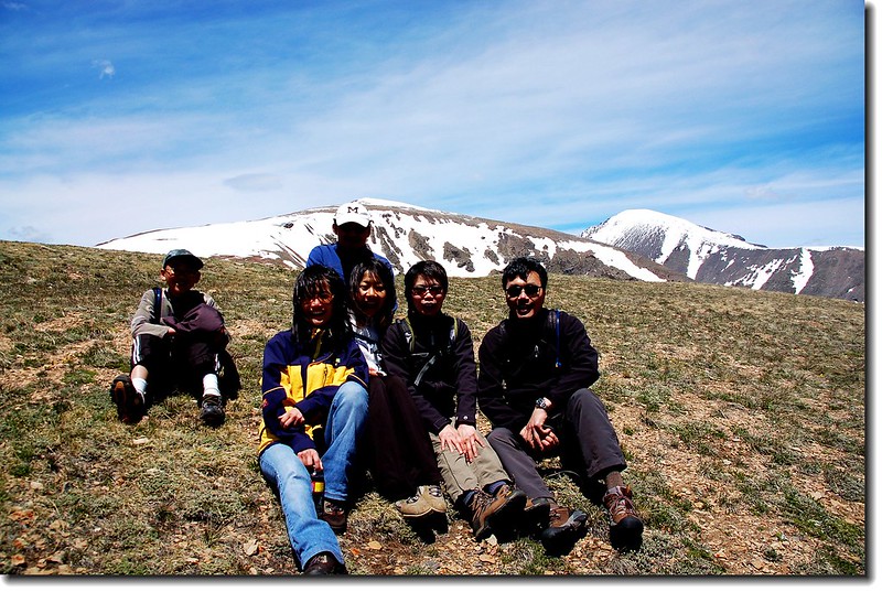
Background is 14ers Mount Lincoln
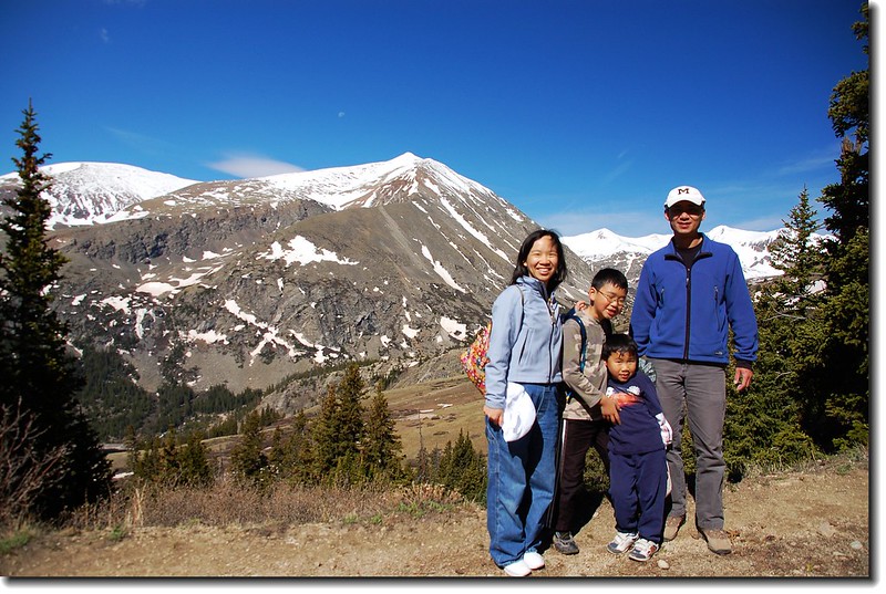
Ruth's family
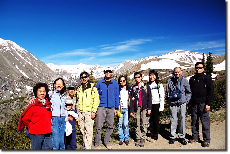
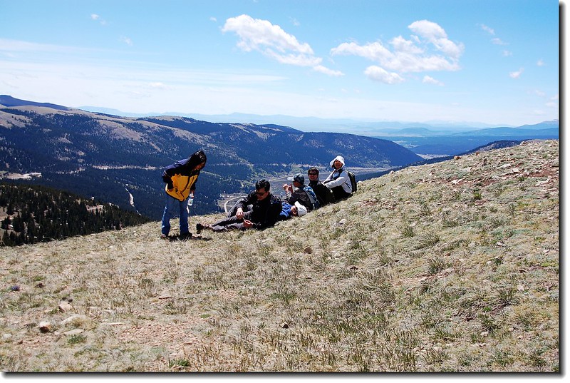
Taken a group picture along the trail
Hoosier Pass Loop Trail
Lincoln & Bross from Hoosier Pass
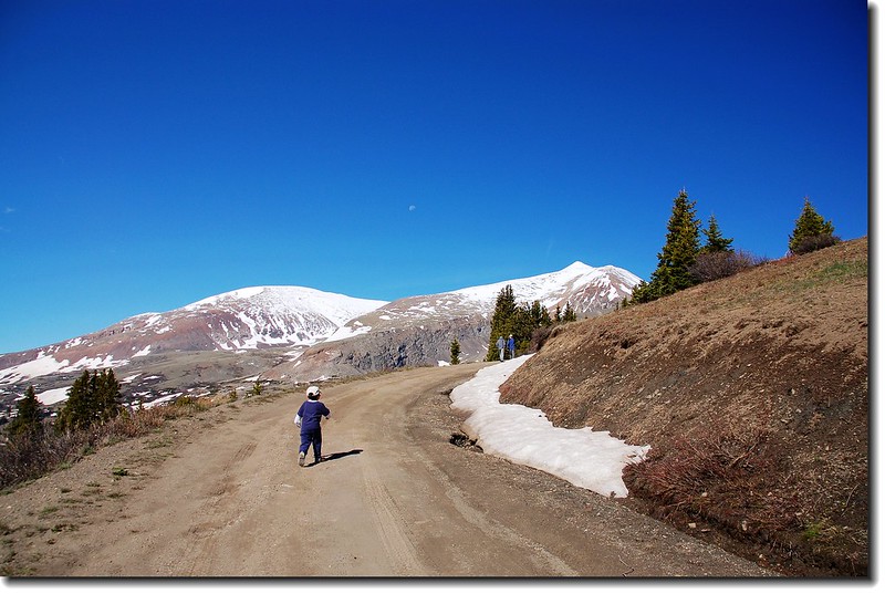
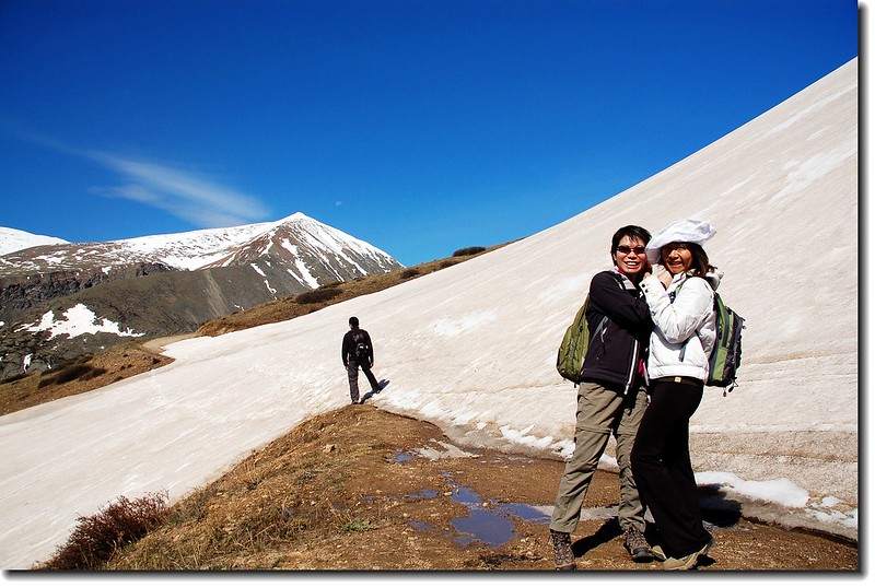
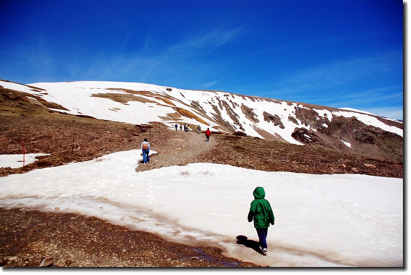
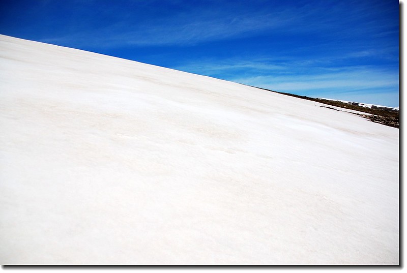
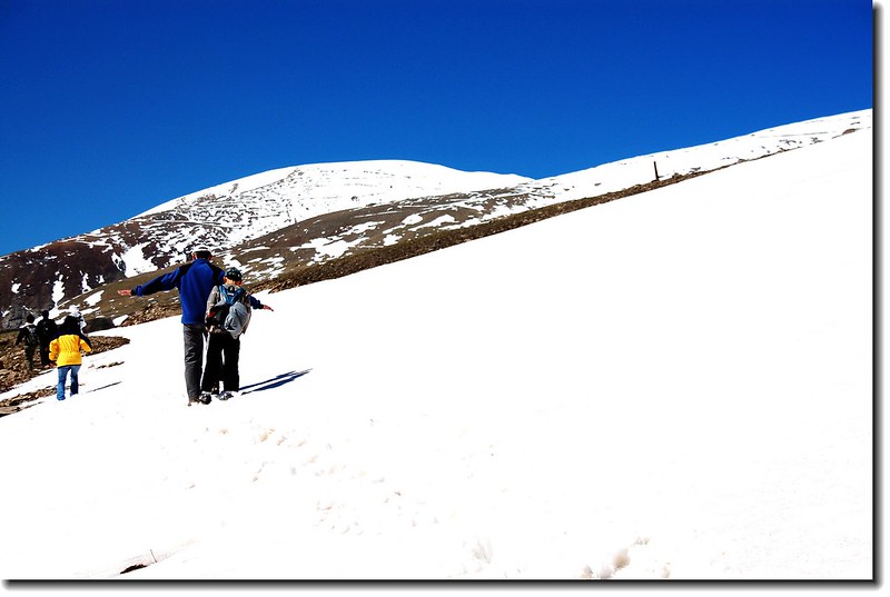
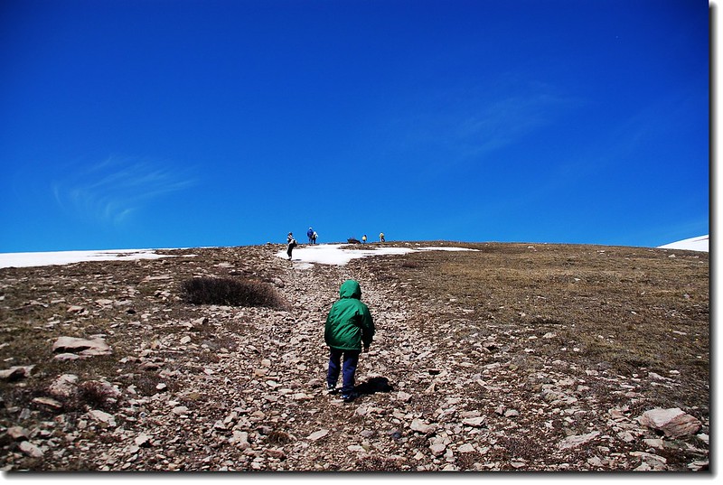
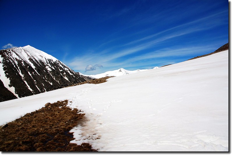
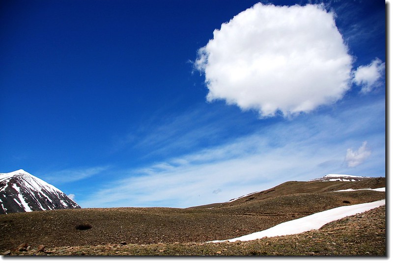
09:45 遇一寬約50公尺的雪坡,有點坡度、小心通過。
The trail was covered with snow
Ruth's family on the trail
Mount Silverheels(13,822 ft.)
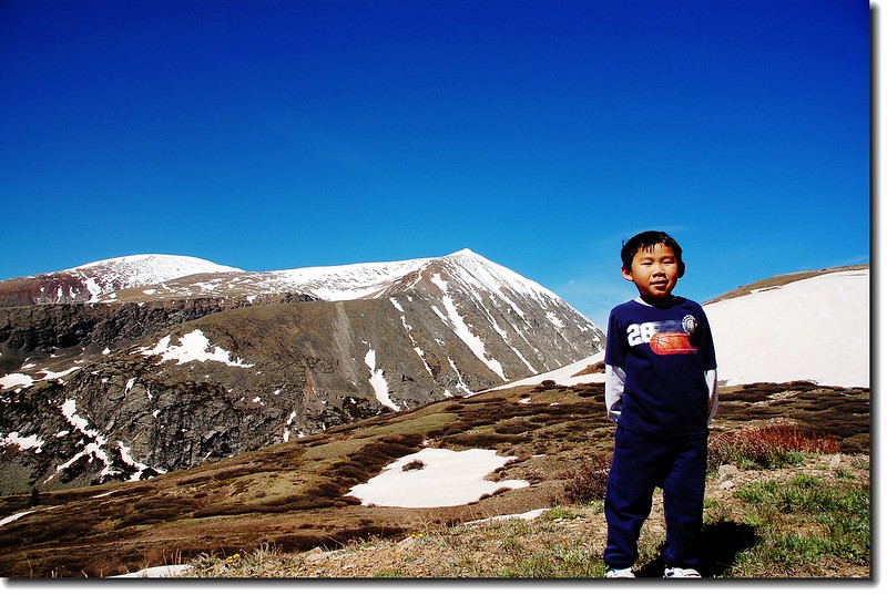
Jacob on the trail
10:12 抵達鞍部,海拔約12,100呎/3,688公尺,右側是#208步道,可上12,214呎/3,723公尺高地後沿稜線下山,完成一O形縱走。在此小休後續取左,循採礦道路上行,一來探訪古礦坑Magnolia Mine,二來看看North Star Mountain登山步道積雪狀況,大夥兒決定能走多少算多少。
Background is Quandary peak(L),and Front Range in the distance
Mountain view
View to NW,14ers Grays & Torreys are in the distance
Jacob is just about to passes through the snowy area
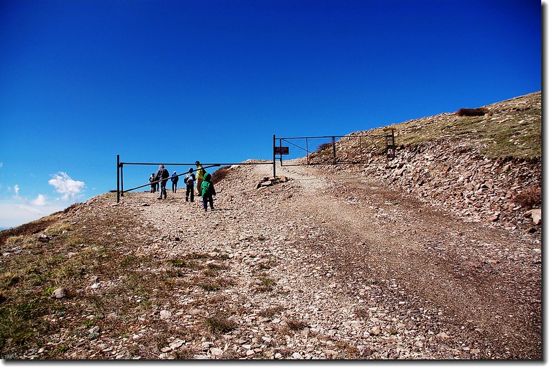
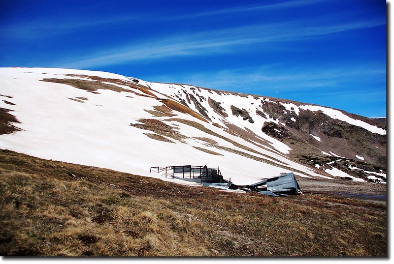
10:25 抵達礦區鐵門,此地海拔約12,225呎/3,726公尺,由鐵門邊進入,續沿採礦道路上登。
Approaching the gate and the “no trespassing”area
10:28 又遇到一片寬約100公尺的大雪原坡,攙扶著貝貝小心通過。
Jacob et al. making their way up this gentle portion of the route
哇!很難走耶!
On the hillside snow has not melted
Tim and Matthew has been passing through the snowfield
Snowfield and mountains that in the distance
10:42 抵達Magnolia Mine廢棄礦坑,在此更接近Platte Gulch,積雪的山頭就在眼前。
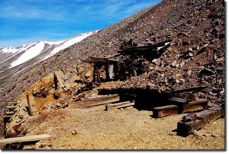
Mining Ruins
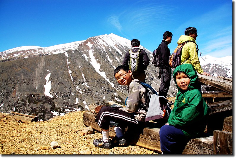
Matthew & Jacob at the mining ruins
Hoosier Pass Loop Trail

Mountain views from Mining Ruins
在此稍作停留後往回走,要上North Star Mountain必須回到鐵門處往上切。
Snowfield and mountains that in the distance
11:09 回到礦區鐵門,往左朝North Star Mountain的假山頭上切。
Jacob making his way up this gentle portion of the route
At the slope, looking back (trail 208)
11:18 抵達半山腰一處平坦處,海拔約12,600呎/3,840公尺,往上一看,白雪覆蓋整個山頭,加上風大,小貝貝有點受不了,大夥兒決定撤退。
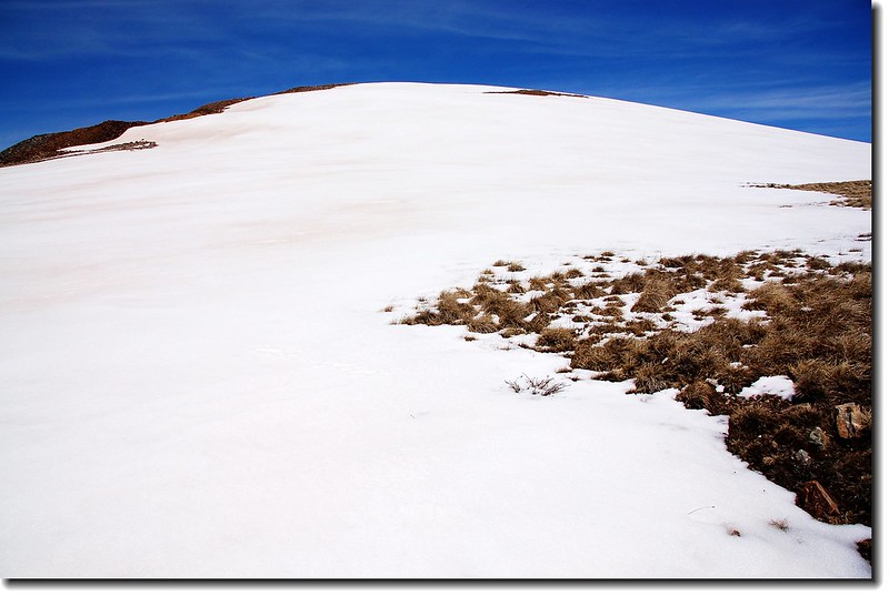
False summit of North Star Mountain
Elev.12600 ft.
Mount Lincoln stood behind snowfield
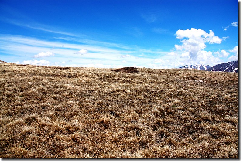
Tundra
Looking east towards Hoosier Pass from the lower elevations of North Star Mountain
11:35 回到鐵門附近一處廢棄工寮避風處用餐,此處展望良好。
Mine ruins as you near the “no trespassing”area
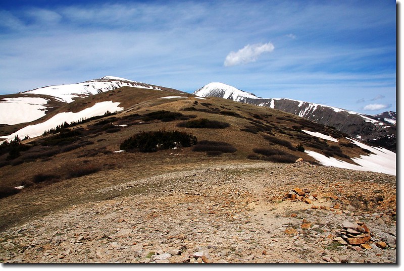
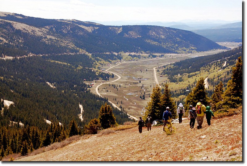
11:50 下山,下到鞍部後左上沿#208步道上登12,214呎高地。
Go back and ascend trail 208
View to Mount Lincoln & Bross from the top of the knoll on trail 208
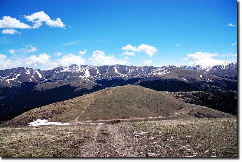
12:00 抵12,214呎高地頂,此時除了南邊的14ers---Mount Lincoln和Bross外,北邊的Quandary Peak整個山頭也看得一清二楚,稍作休息後即順稜線緩坡而下。
Top of the knoll on trail 208(H 12,214 ft.) 1
Take a rest on Top of the knoll on trail 208(H 12,214 ft.)
View to Quandery Peak from the top of the knoll on trail 208
Turning around - beginning the descent back to 208
Cloud above Mount Lincoln
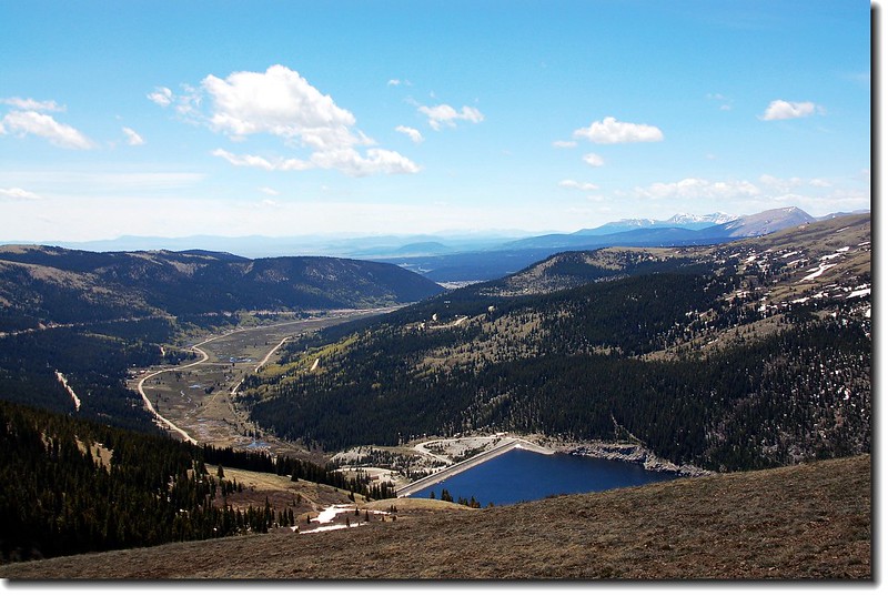
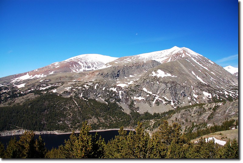
Overlooking Montgomery Reservoir
View to Quandery Peak & N. Star Mt. from the top of the knoll on trail 208
12:20 下到稜線平坦處,見一棵強風雕塑的松樹,老美稱它為Banner tree,其成因就像澎湖通樑的大榕樹一般,對抗大自然的景況中外皆然。
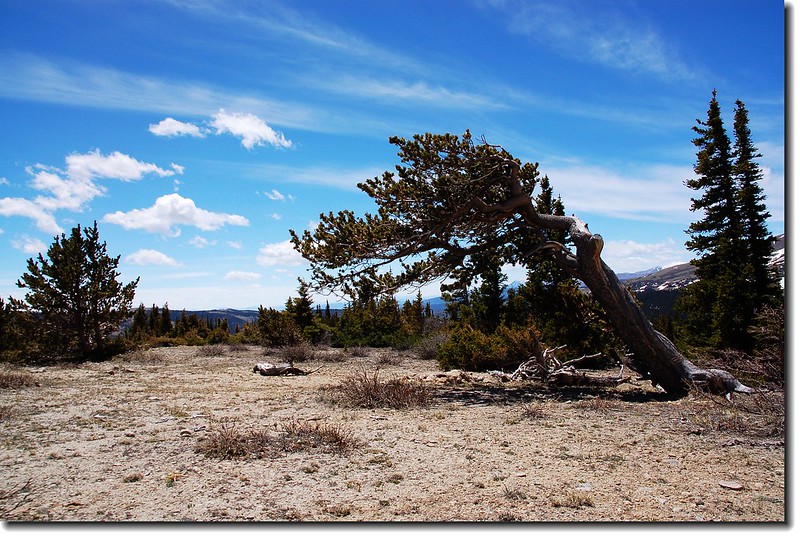
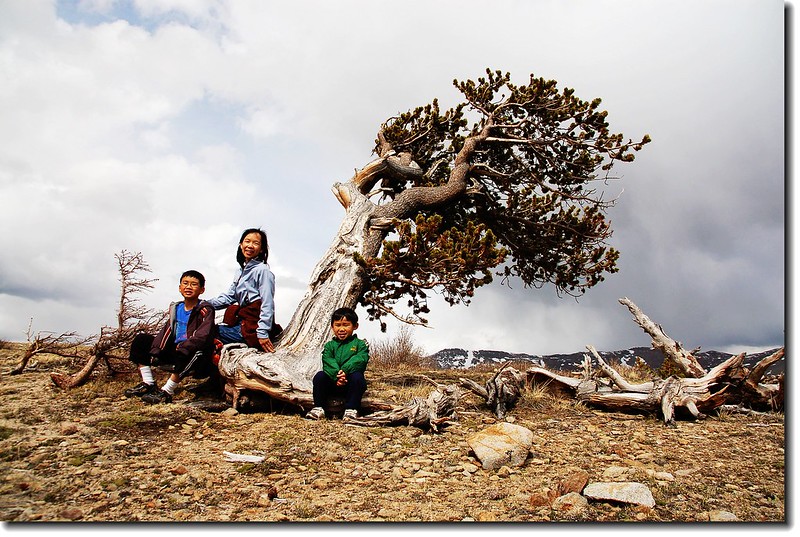
Banner tree on the trail
12:24 陡坡下切
12:30 接回主線道,已近停車處。
12:35 回到停車處結束一趟愉快的登高健行佩服兩個小外孫下山後仍然精神抖擻談笑自如。
今日全程約4哩/6.4公里,爬升約1,050呎320公尺,耗時3小時20分。
沒有留言:
張貼留言