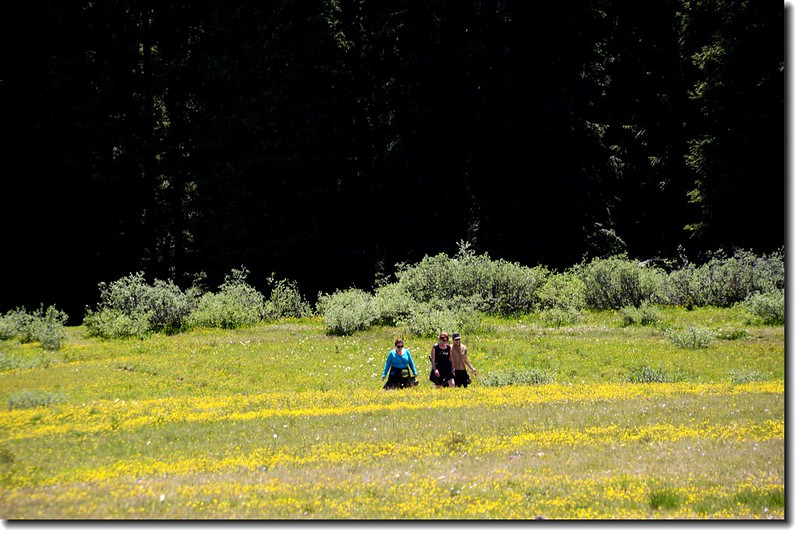
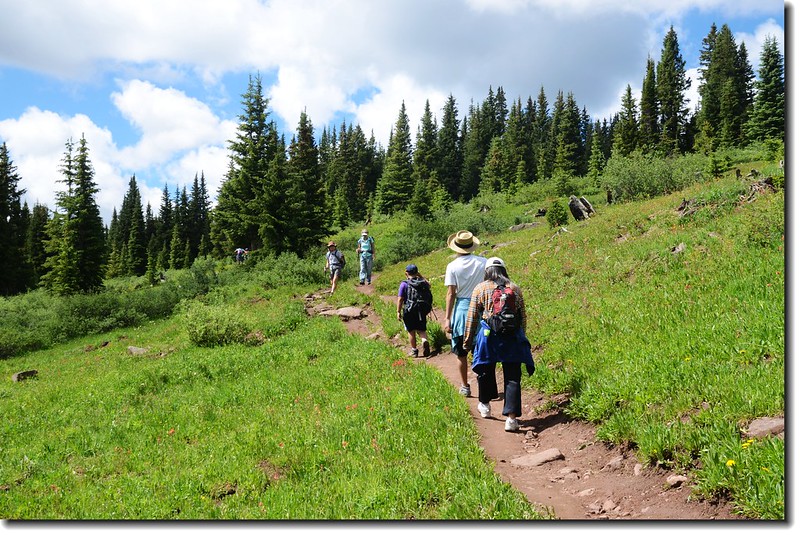
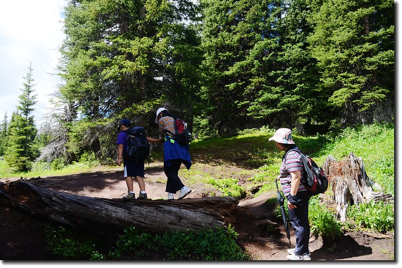
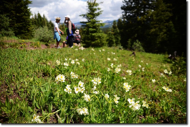
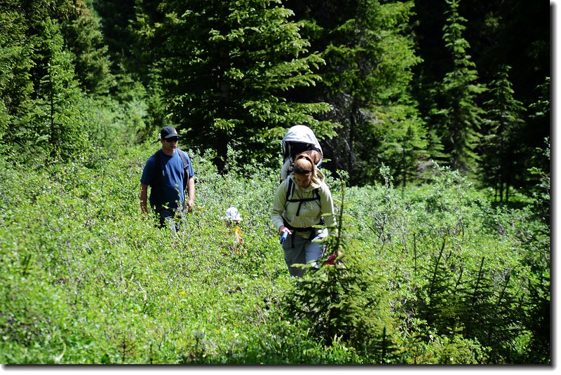
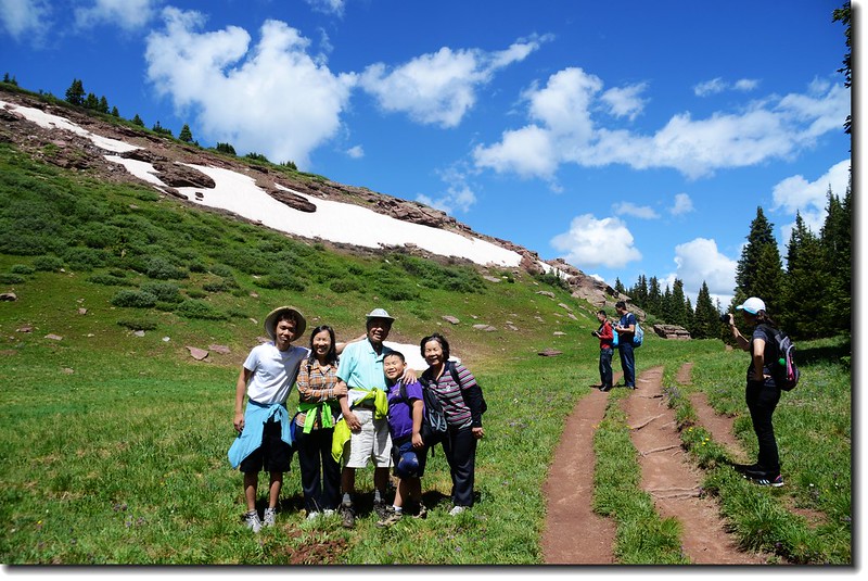
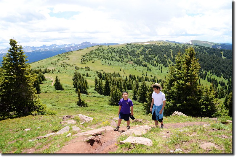
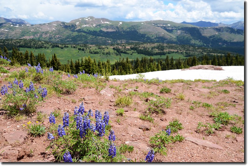
Hikers hiking through the open meadows
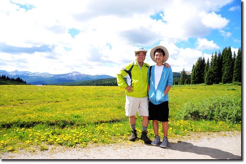
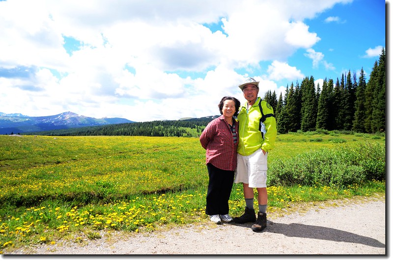
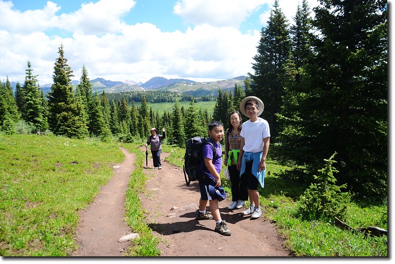
昨日女兒提議到滑雪勝地Vail附近的Shrine Mountain Trail登山健行,Shrine Mountain海拔11,888 呎( 3,623公尺),隸屬於科羅拉多州的Gore 山脈(Gore Range),女兒說網路上查到這條Trail全程來回才四哩多,屬於老少咸宜“family- friendly trail”的路線,而登此步道最佳時節是每年的七、八月,這一兩個月步道沿途高山野花盛開,一路走來真是美不勝收。
View to Shrine Mountain from Shrine Pass
行車資訊:
由丹佛沿I-25州際公路西行,行約70哩後於Exit 190下交流道左轉,過橫跨高速公路高架橋後續左行到休息區不取,取右上循“Shrine Pass Rd.”土石路朝西上山,行約2.3哩後即抵路左登山口(Trailhead),登山口有一停車場及廁所,但旺季停車場常車滿為患,必須將車停放路旁。
----------------------------------------------------------------------------------------------------
登山口高度:海拔11,040 呎(3,365公尺)
Shrine Mountain高度:海拔11,888呎(3,623公尺)
爬升高度:來回約1,100呎(335公尺)
登山里程:來回約5哩(8公里)
登山時間:4小時30分
----------------------------------------------------------------------------------------------------
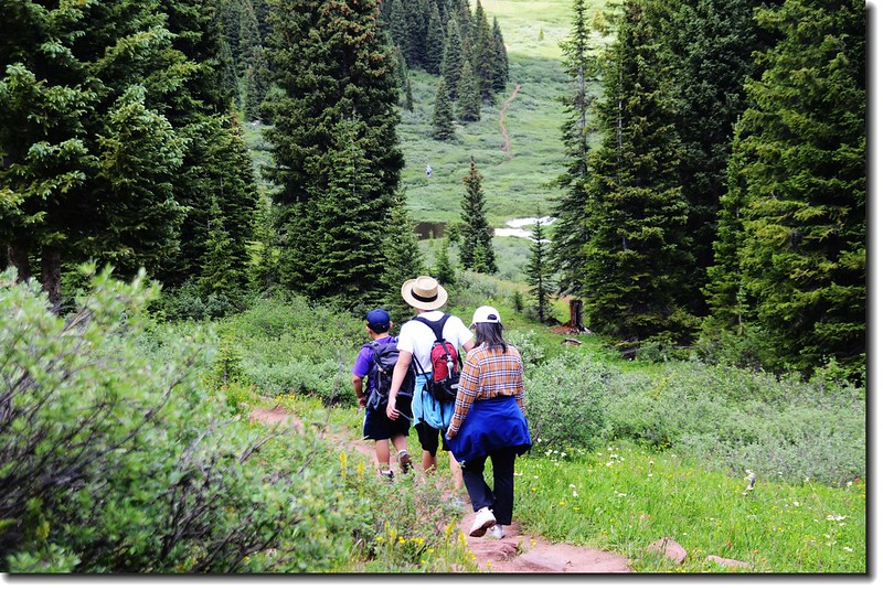
從停車場沿一條通往Shrine Mountain Inn的碎石路走一小段路,在柵門前即看到路左的“Shrine Ridge Trailhead”指示牌,隨即往南走入一片大草原邊緣的小徑;
Taken at trailhead
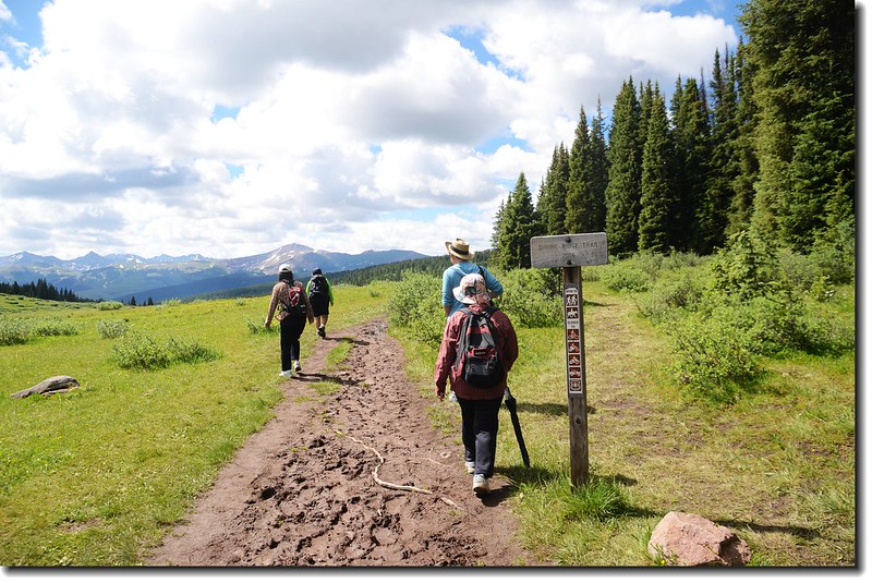
Shrine Mountain trail
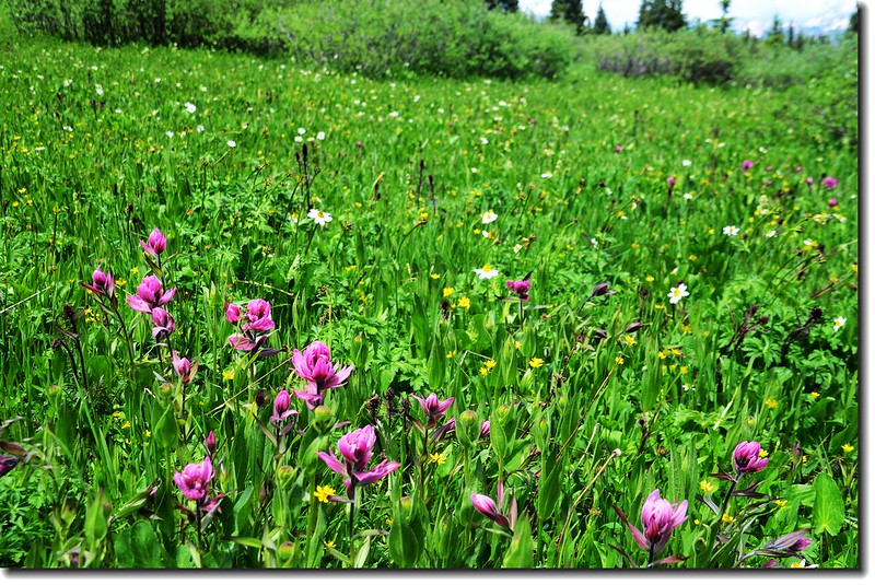
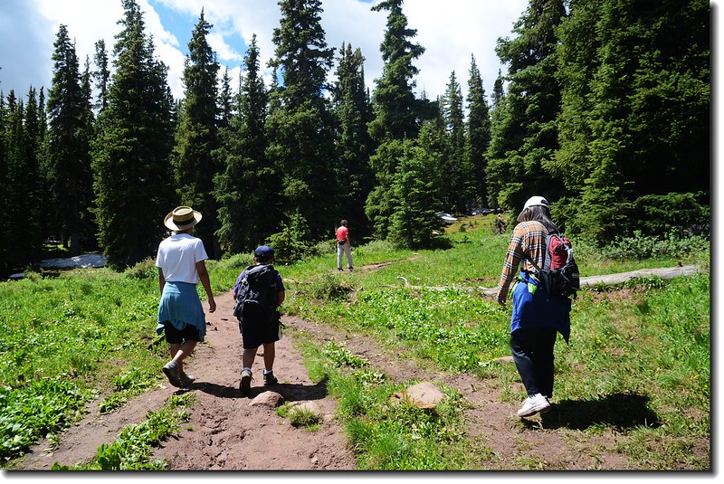
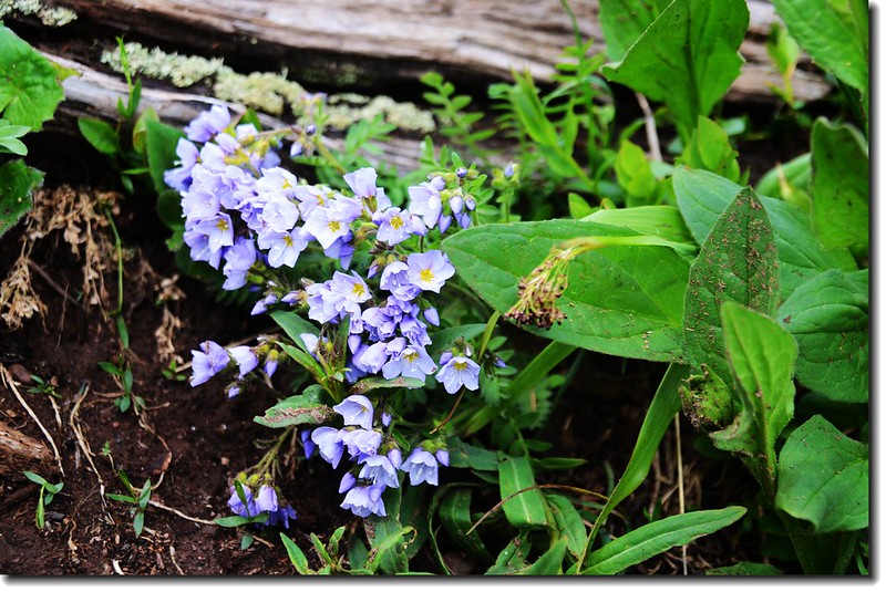
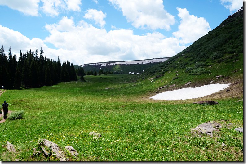
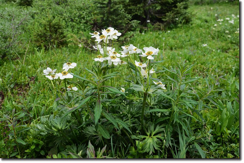
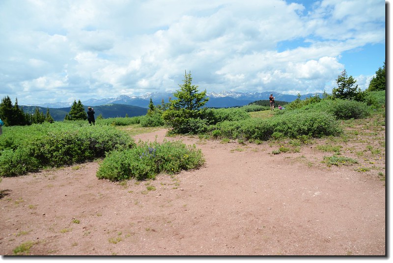
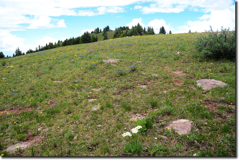
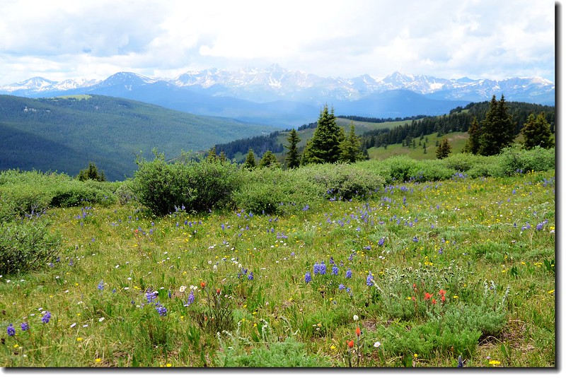
一開始的大草原及遍地野花就讓人心曠神怡,眼光掃過大草原,極目望向東南邊山谷遠處是滑雪勝地的Copper Mountain 滑雪場及後方的Tenmile Range。大草原上一男二女在此作畫,真是畫中有畫!
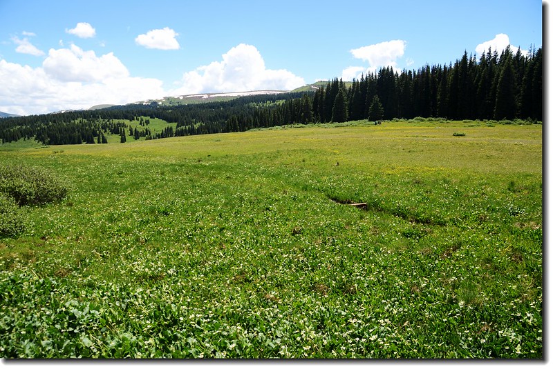
The open meadows filled with wildflowers
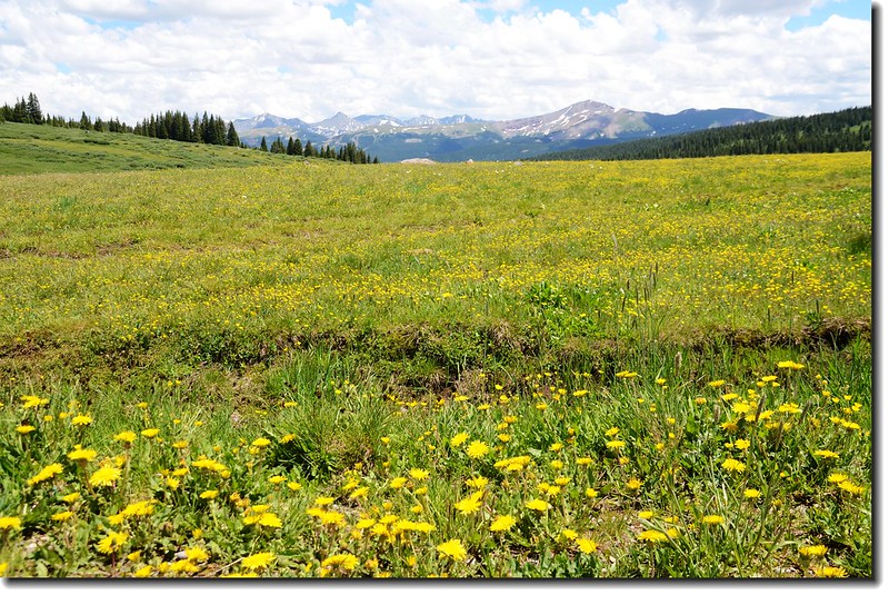
Looking down the valley towards Copper Mountain from Trailhead
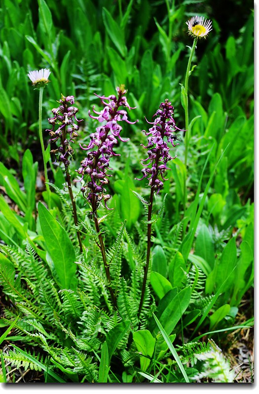
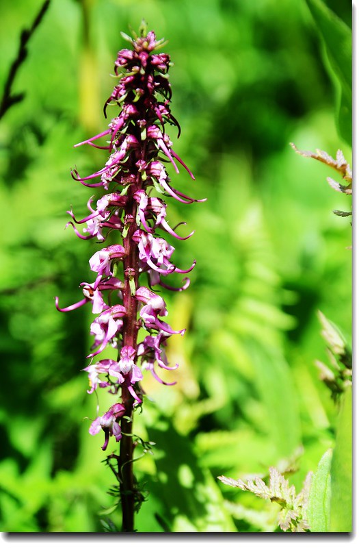
Elephant's Head flower
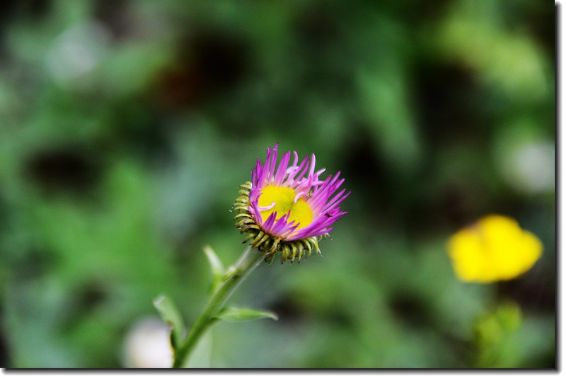
Spreading Fleabane
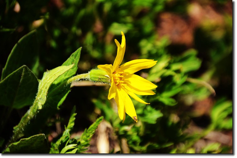
Heart leaved Arnica
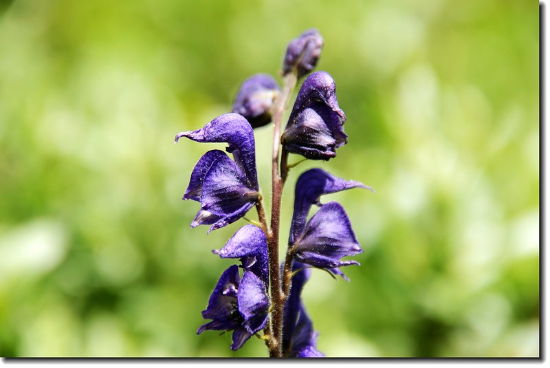
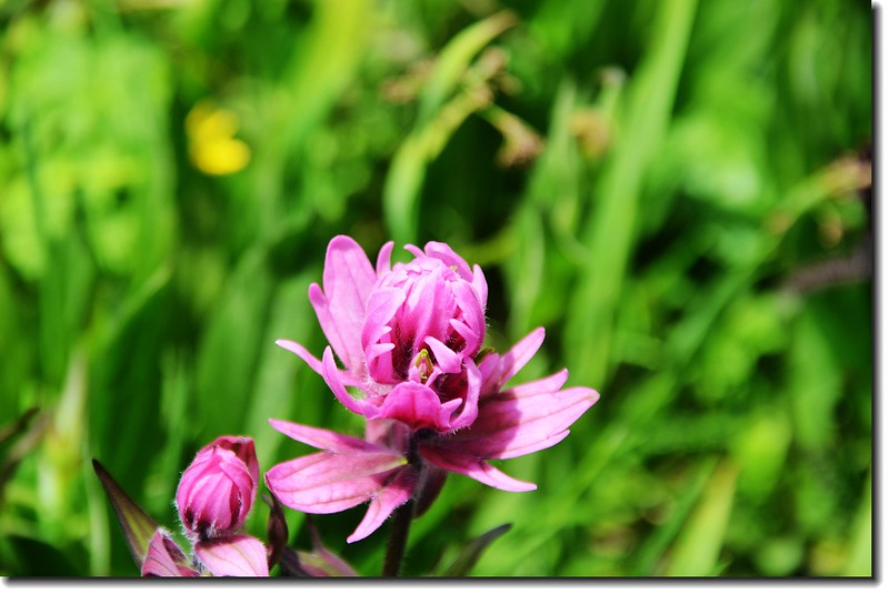
Monkshood (台灣稱高山烏頭)
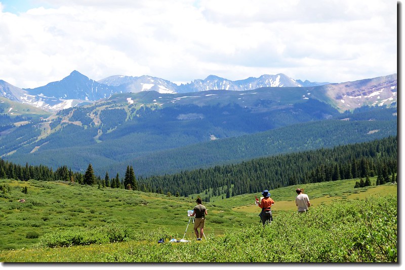
Somebody painting the scenery at the meadow
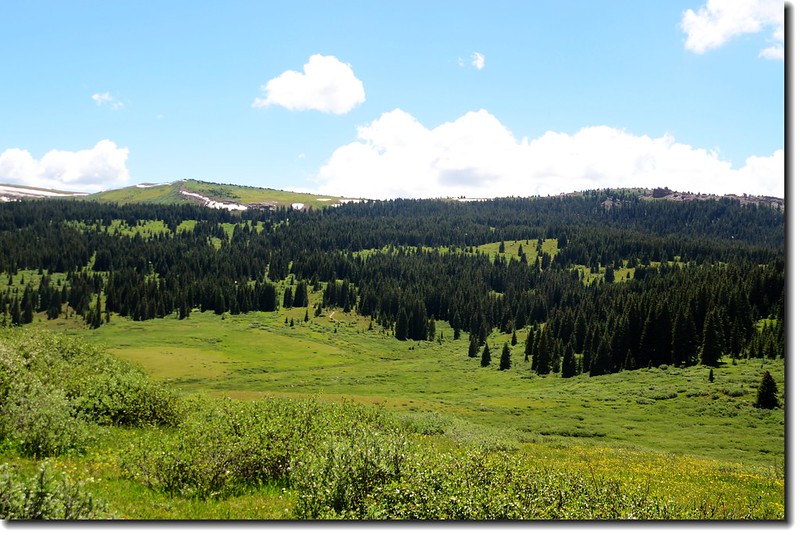
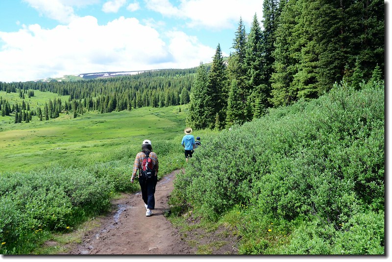
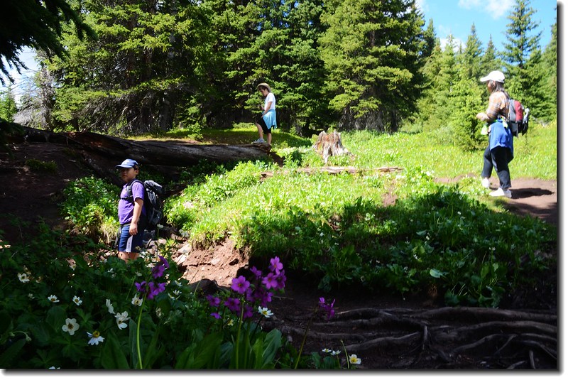
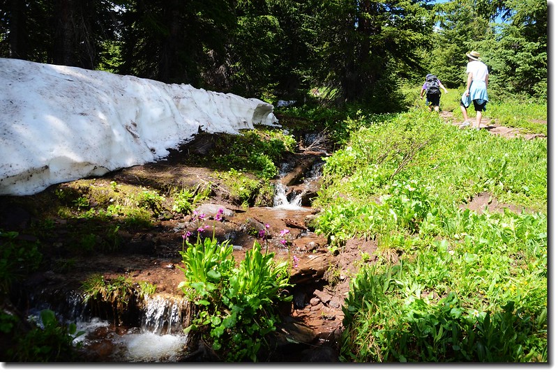
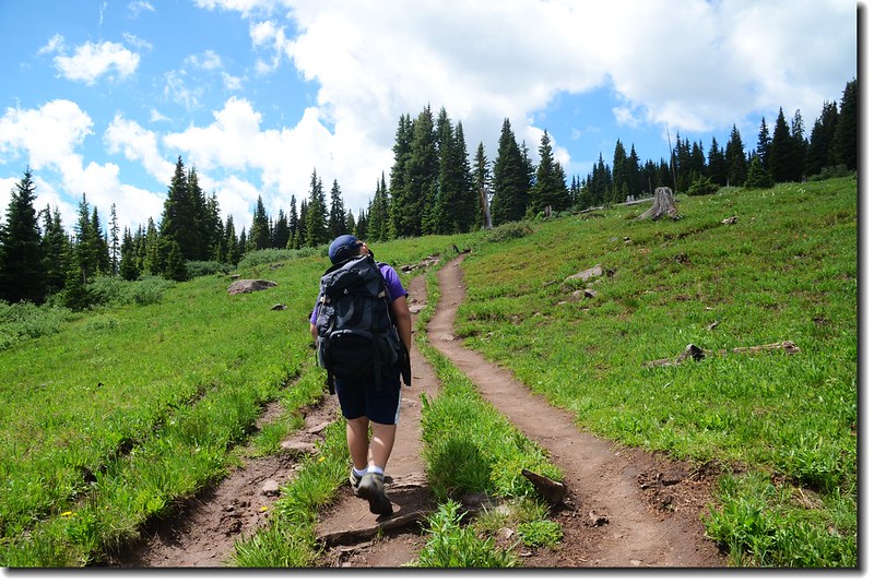
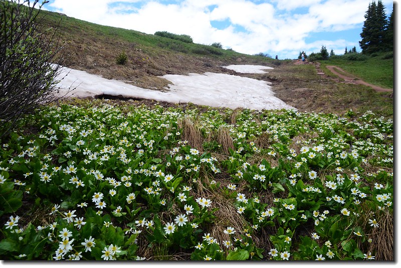
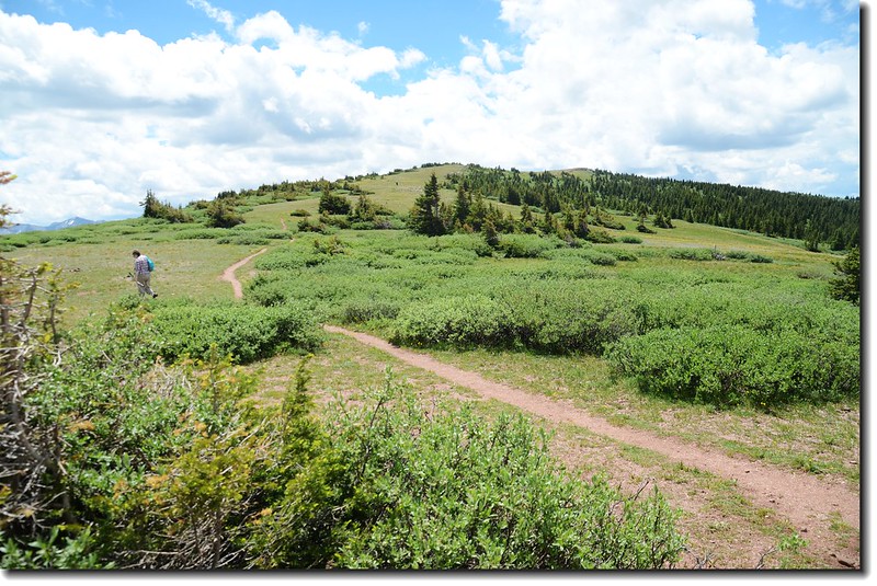
步道往南緩下坡前進,也許是最近雨下得多蠻泥濘的,但從步道旁willows樹叢中又走出幾條清晰的捷徑看來,也許是此步道本就是較潮濕的沼澤地吧!
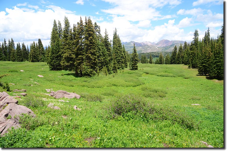
步道下到最低處有一兩處水塘,繞過水塘步道開始朝西南爬升,但坡度很小,走來並不累人,兩旁陸續出現稀疏的松林,野花盛開。
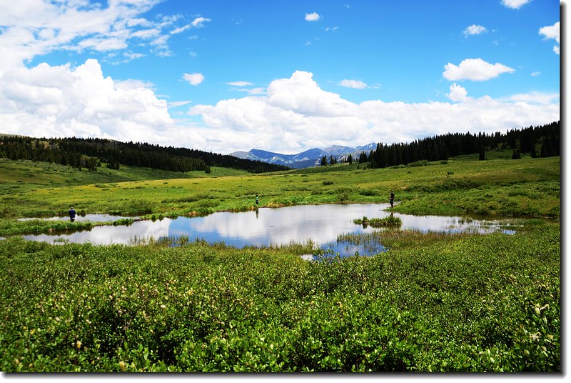
Noname pool along the trail
Hike to Shrine Mountain
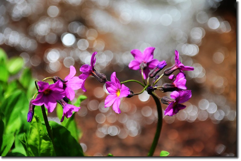
Parry's Primrose
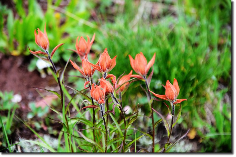
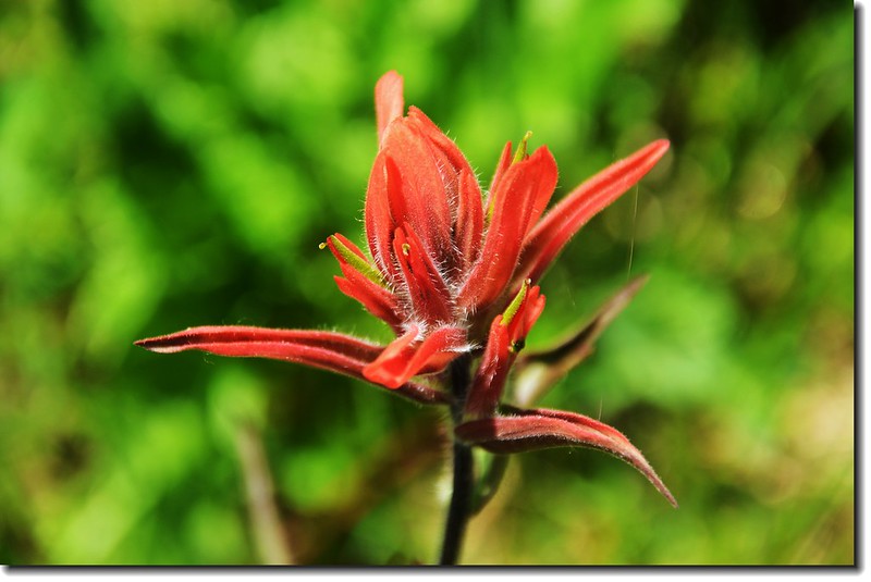
Indian Paintbrush flower
Looking back down the trail at the Gore Range
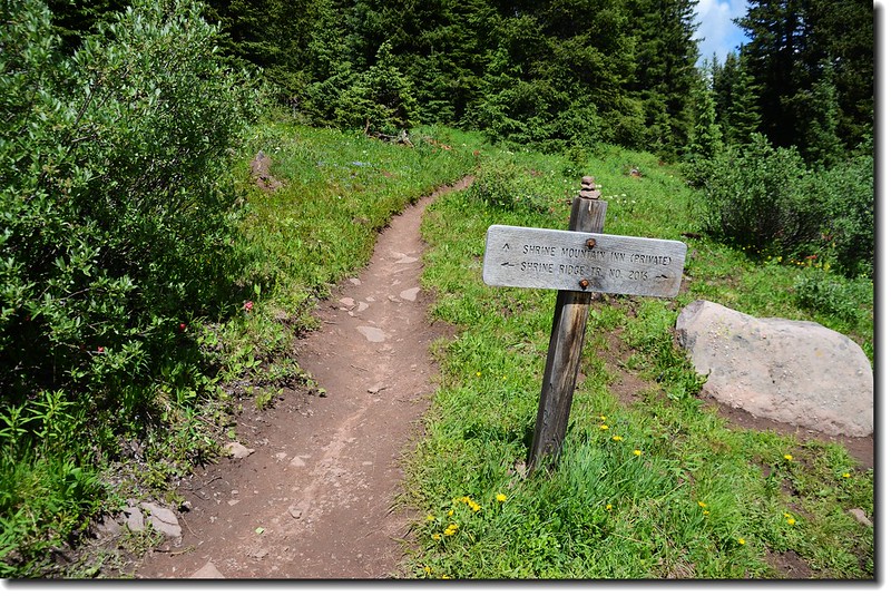
Trail junction,右往Shrine Mountain Inn,取左往Shrine Ridge
將進入松林
Jacob's ladder flower
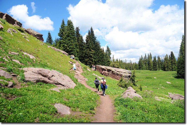
從登山口走約1.3 後開始進入松林並轉向朝西上行,步道比前段稍陡些,不久抵達Shrine Ridge下方一鞍部;
Taken at the saddle below Shrine Ridge
阿嬤,別不好意思啦,拿去吧!
Looking left you can see that the ridge curves around to the left
View to Gore Range from the saddle below Shrine Ridge
步道轉右朝西北幾顆巨石間山坡道上行,此段是整條步道較陡難行路段(其實還好啦)!
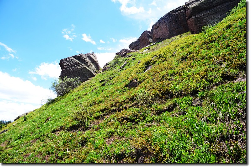
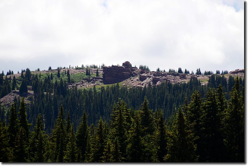
路旁巨石
White Globe flower
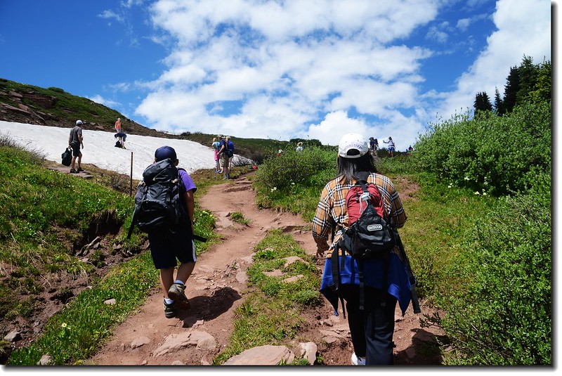
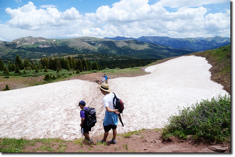
十幾分鐘後行約四分之一哩路穿過一片雪原即登抵Shrine Ridge。
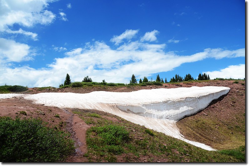
The snow cornice. The saddle is just over that small incline
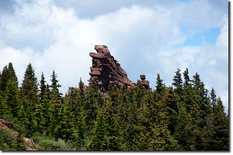
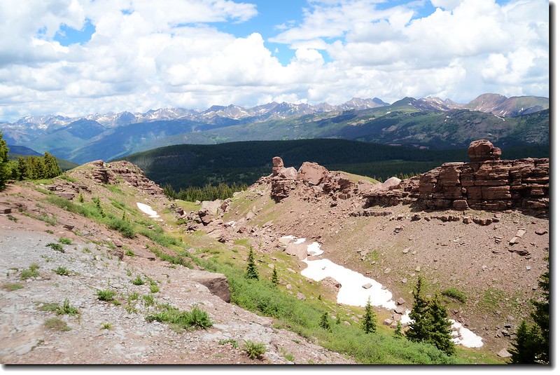
The pinnacles of Shrine Mountain as seen from Shrine Mountain Ridge below
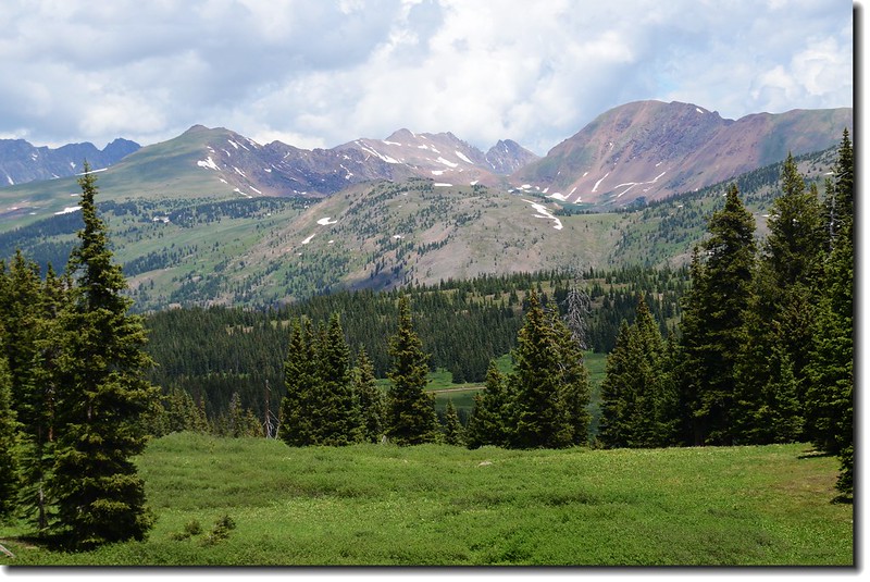
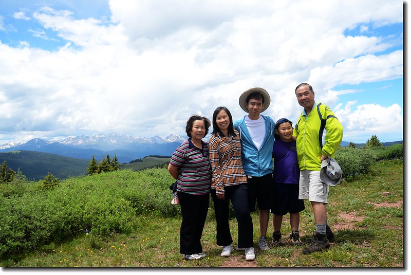
登上海拔11,800呎的Shrine Ridge時有無限的展望,西南邊的 Mount of the Holy Cross是科羅拉多州一座不算高的14ers,海拔14,005呎(4,269公尺),但它東面山壁溝壑的積雪遠處望去就像一座十字架,此山也因此而得名。
Shrine Ridge
Shrine Ridge
Looking up Shrine Mountain from Shrine Ridge
Mount of the Holy Cross as viewed from Shrine Ridge
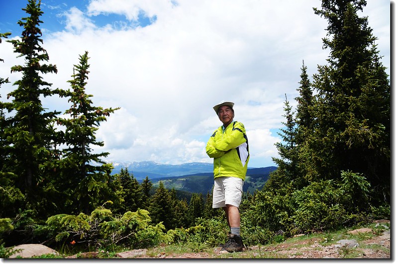
Taken at Shrine Ridge
從Shrine Ridge往左(南)可登上Wingle Ridge,往右(北)則通往Shrine Mountain山頂,我選擇登頂Shrine Mountain;沿著清楚的緩坡步道,不到20分鐘即登上標高11,888呎(3,623公尺)的Shrine Mountain山頂;
Looking back to Wingle Ridge from the summit
The summit of Shrine Mountain (11,888 ft)
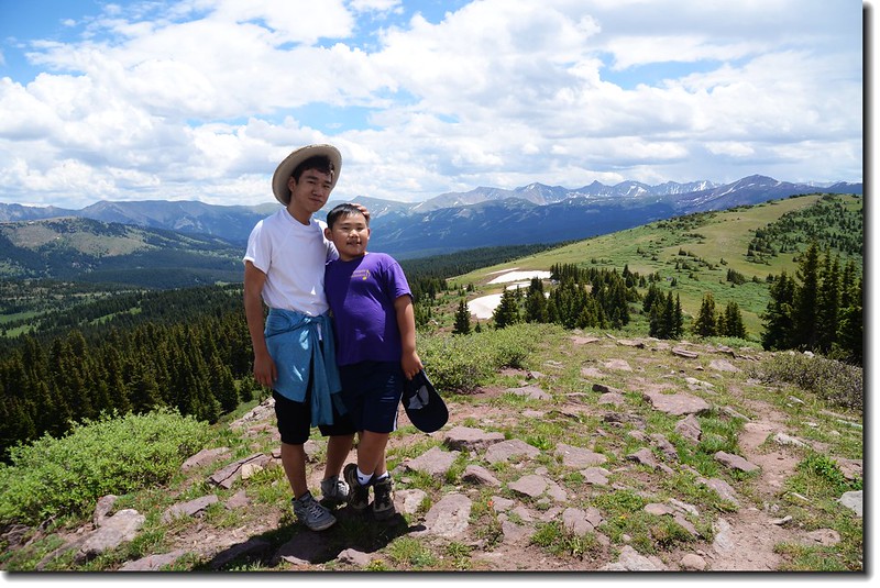
Taken at Shrine Mountain's summit
山頂的東邊有一塊巨岩,有人說是航空母艦岩(Aircraft Carrier rock),有人說像一座祭壇(Shrine);起先以為Shrine Mountain是以這座巨岩而命名,查資料後才知此山之命名另有根據~~ Shrine Mountain 之正確命名依據是在Shrine Mountain 山頂可清楚的西眺科羅拉多的一座14ers--聖十字架山(Mount of the Holy Cross ,海拔14,005 ft./4,269 M)而命名。
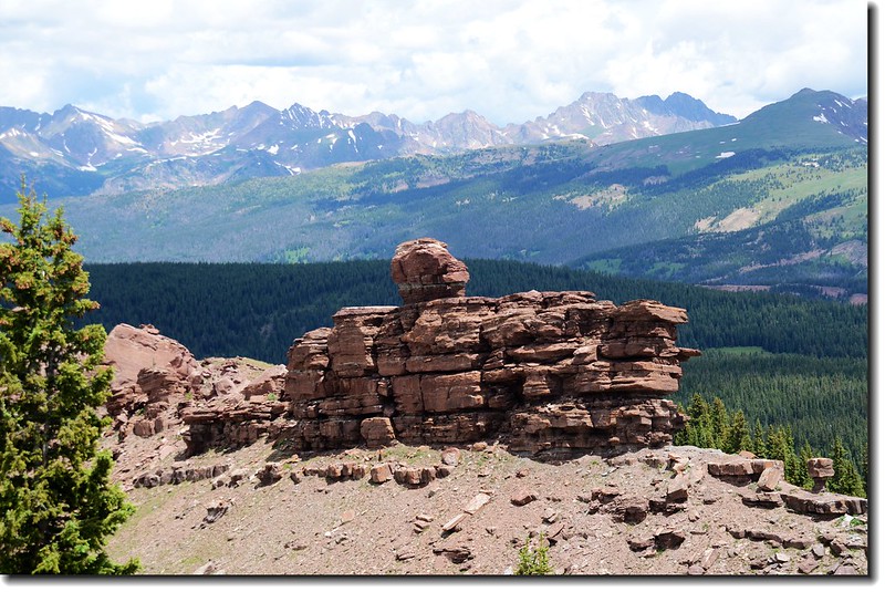
The unusual rock formations on the East side of Shrine Mountain Ridge,Gore Range in the distance from Shrine Moiuntain
Shrine Mountain山不算高,但卻有良好的展望,山頂四周展望包括:
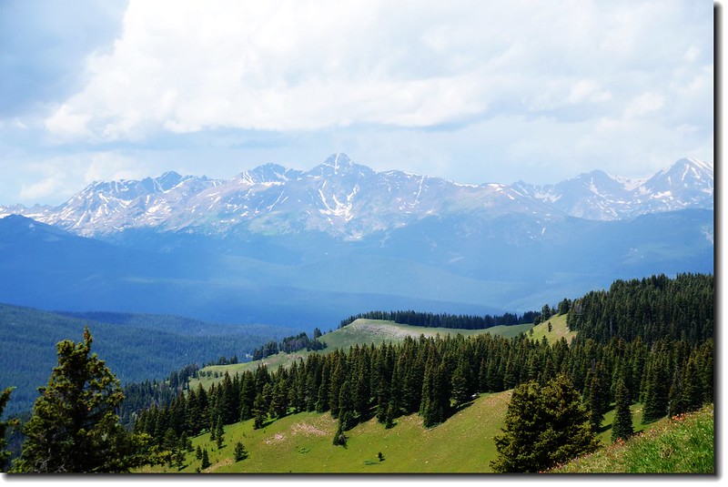
北面- Gore Range
西北面- Uneva Peak
東南- Copper Mountain ski area & Tenmile Range
南面- Ptarmigan Hill and Ptarmigan Pass
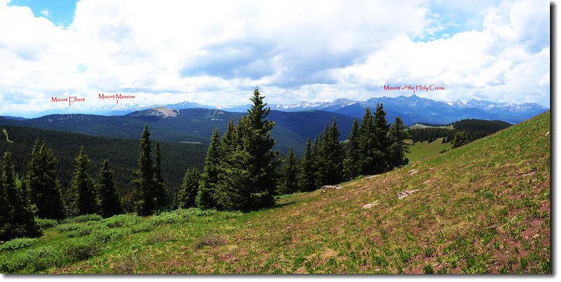
西南- Sawatch Range and Mount of the Holy Cross 、Mount Massive、Mount Elbert
西面- The Flat Top Mountains
View to north from Shrine Mountain's summit
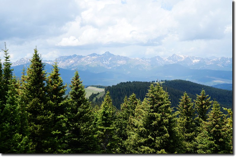
Elk Range as viewed from Shrine Mountain
Mount of the Holy Cross as viewed from Shrine Mountain
Looking down Shrine Pass from Shrine Mountain
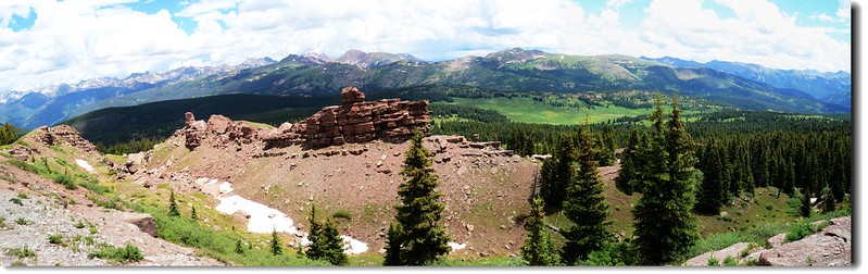
Panorama of the Gore Range from Shrine Mountain
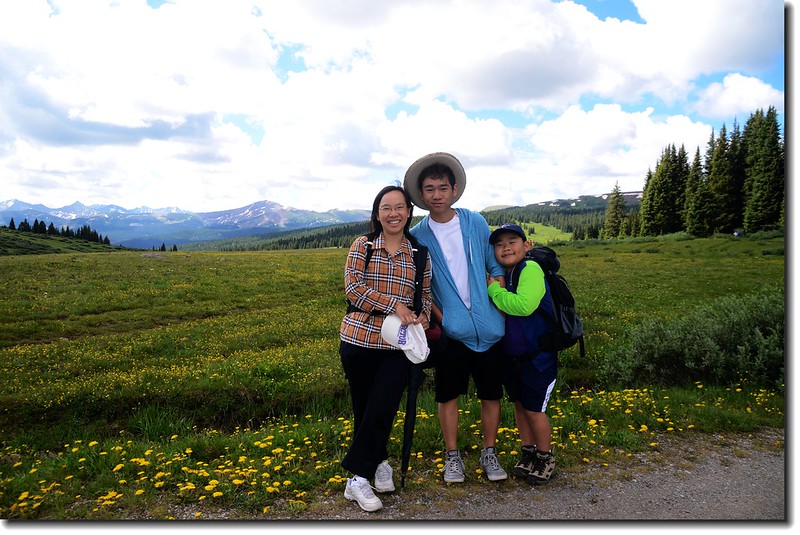
Shrine Mountain Trail真是一條老少咸宜、親子同樂的登山步道,選擇一個野花盛開的季節來此健行,讓人身心會有無比的舒暢;我們此趟行程上山走走停停花了2小時50分,下山花了1小時40分,倒是開車來回也花了四個多小時的車程。
Going down the mountain
+++++++++++++++++++++++++++++++++++++++++++++++++++++++++++++++
行車路線圖
沒有留言:
張貼留言